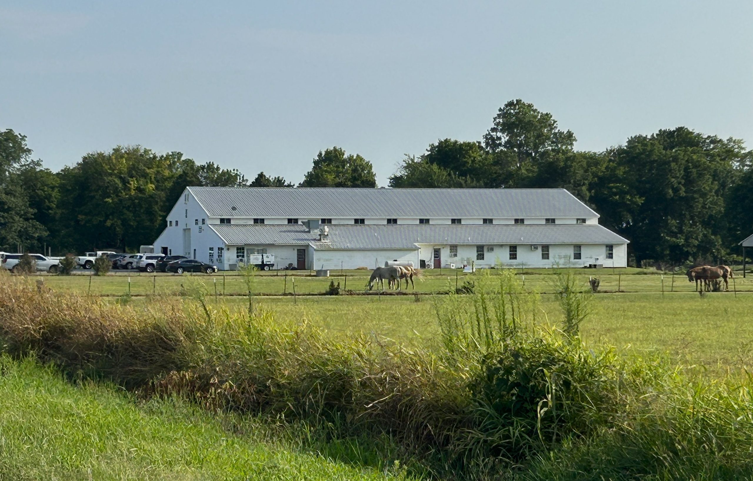
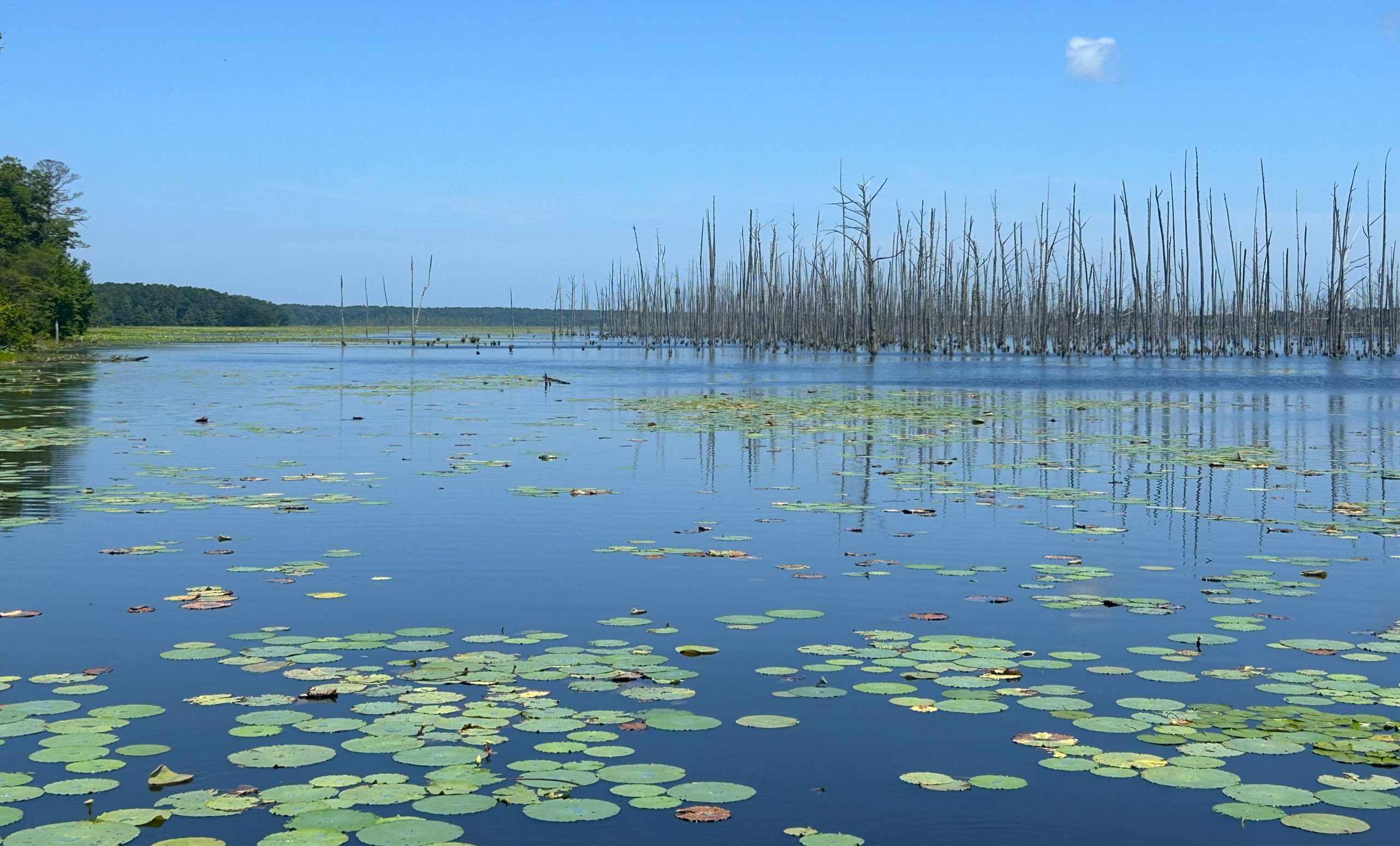
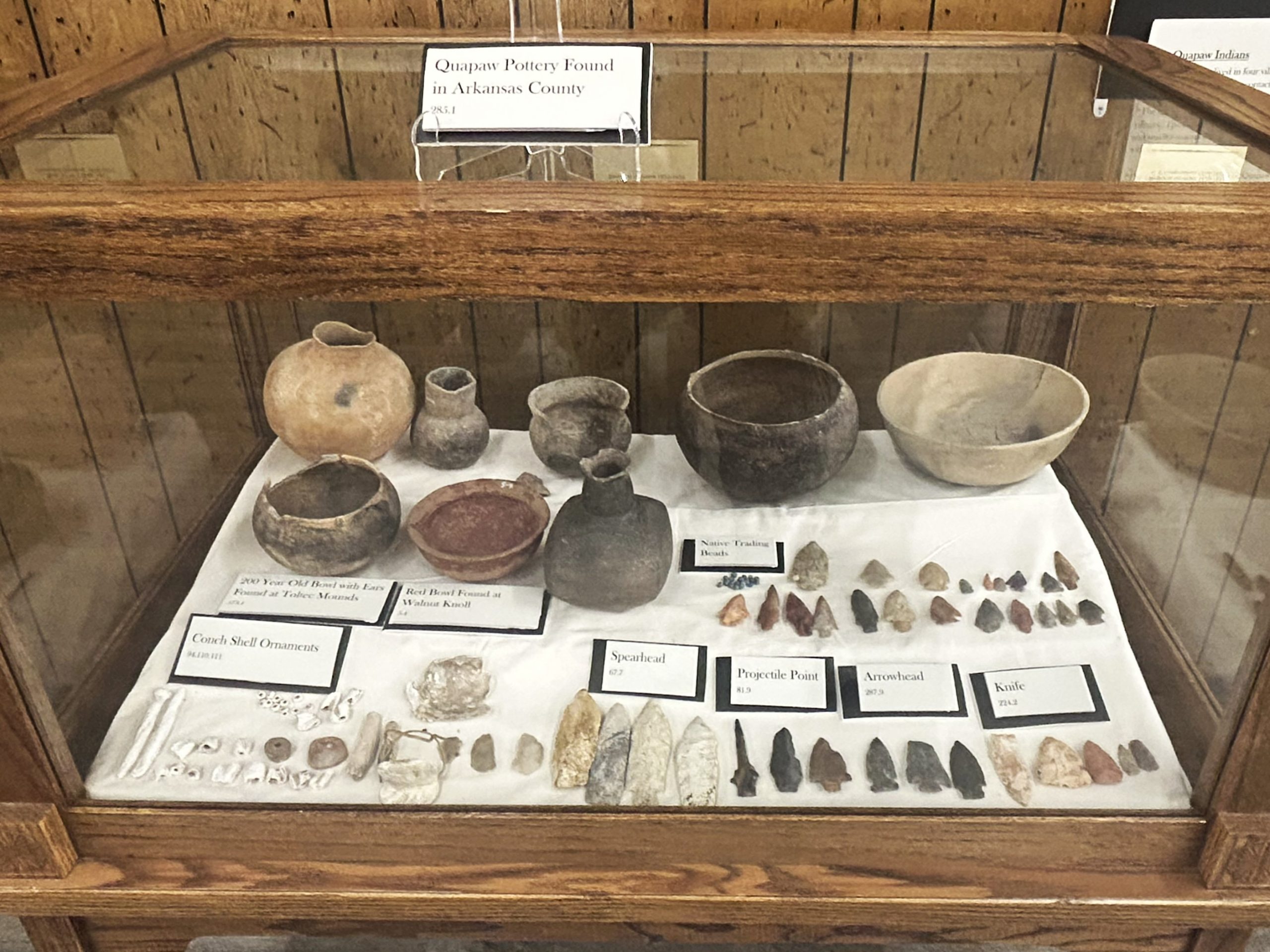
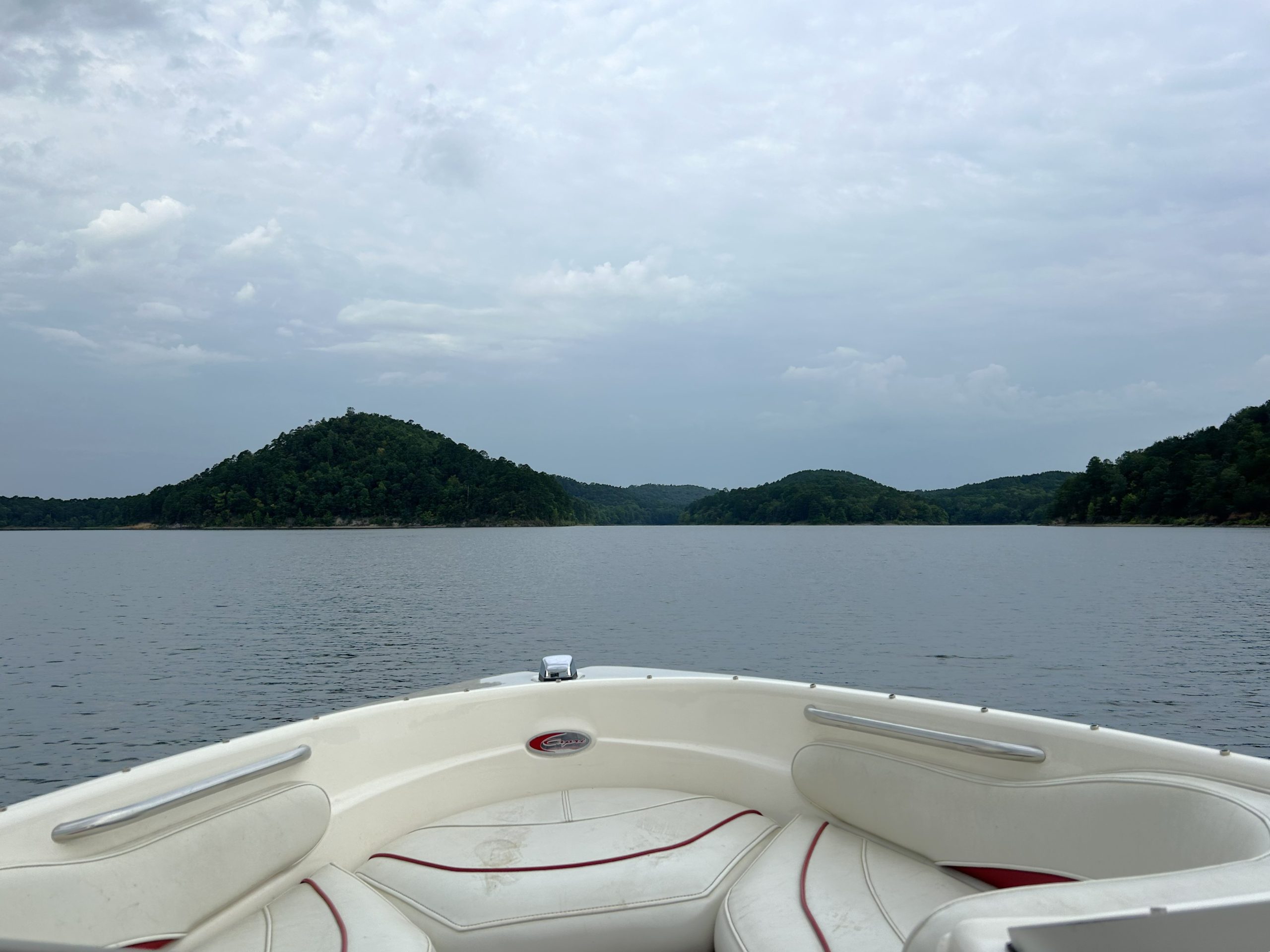
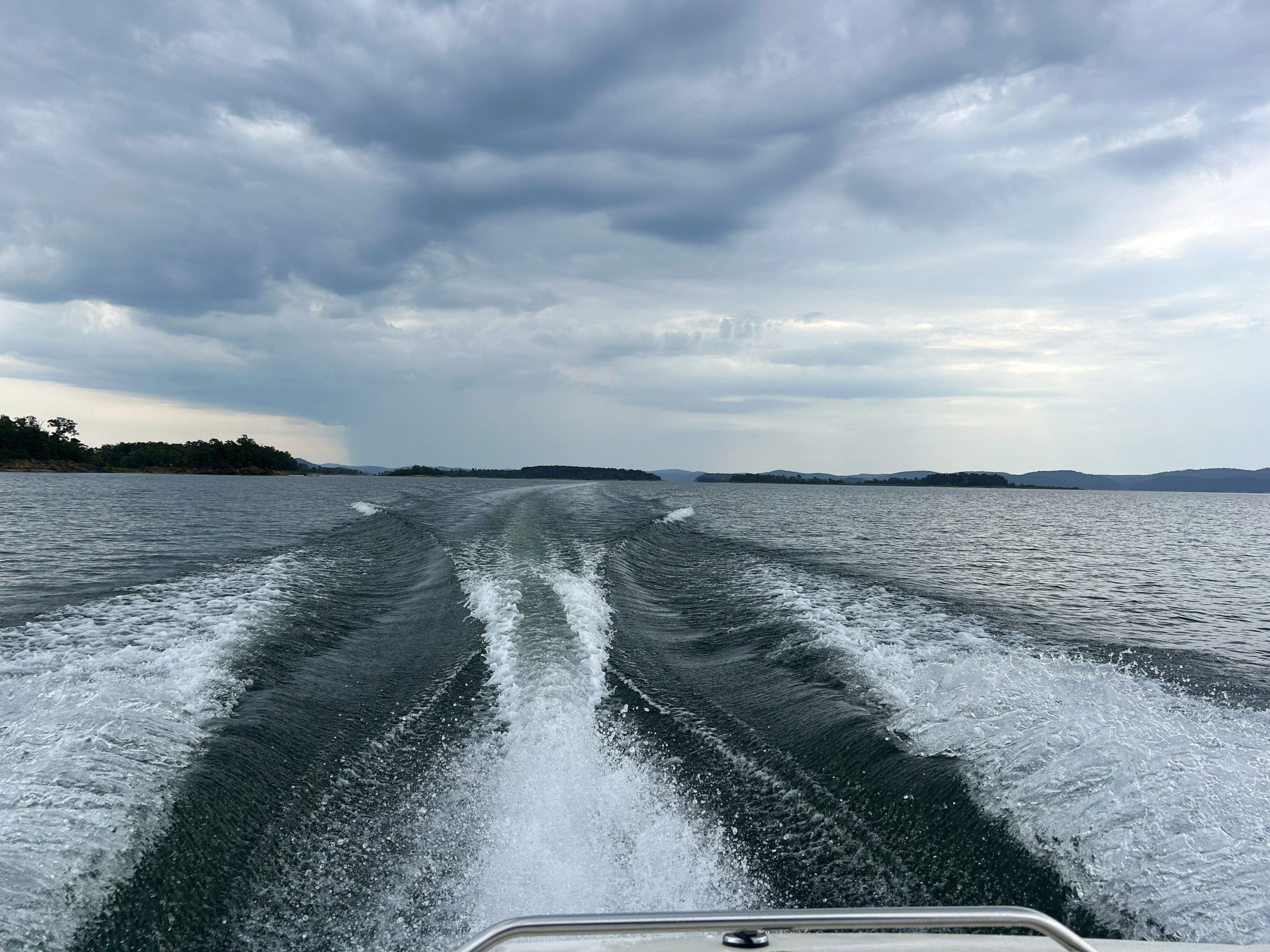
I checked items off two of my lists today. We met my sister-in-law and brother-in-law at a boat dock on the northern shore of Lake Ouachita and spent an hour and a half exploring around the inlets and islands near the tiny community of Buckville. We started by the top arrow, boated to the other arrow, and then returned.
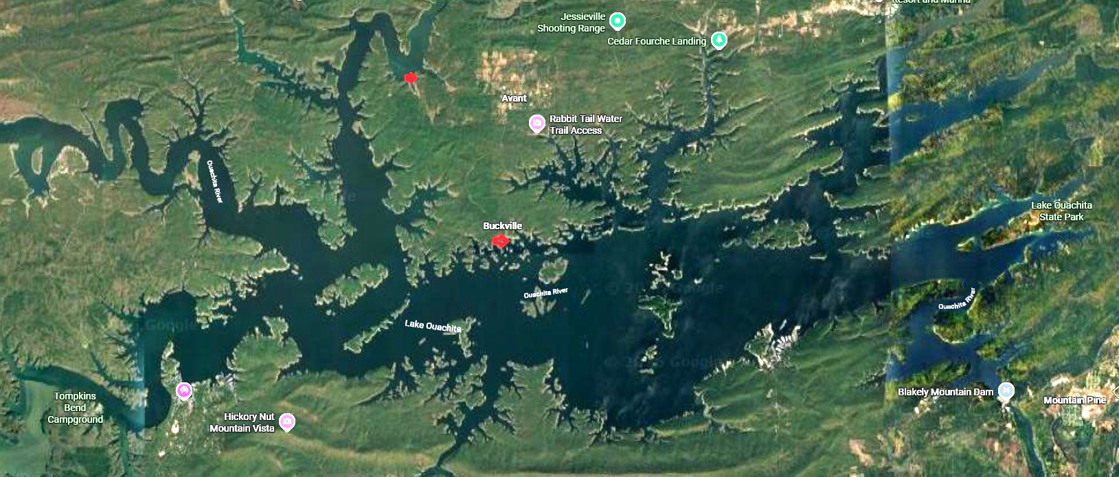
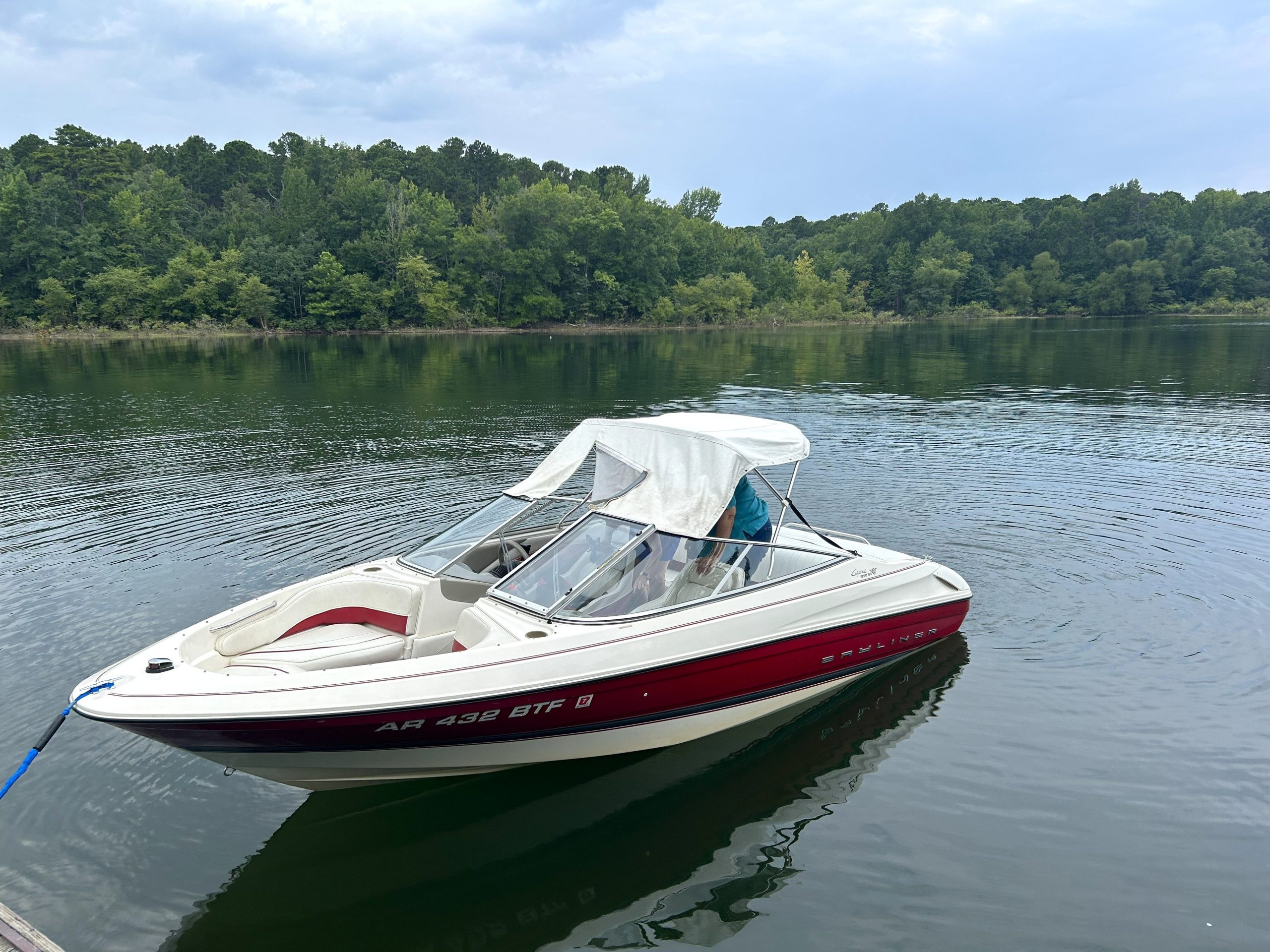
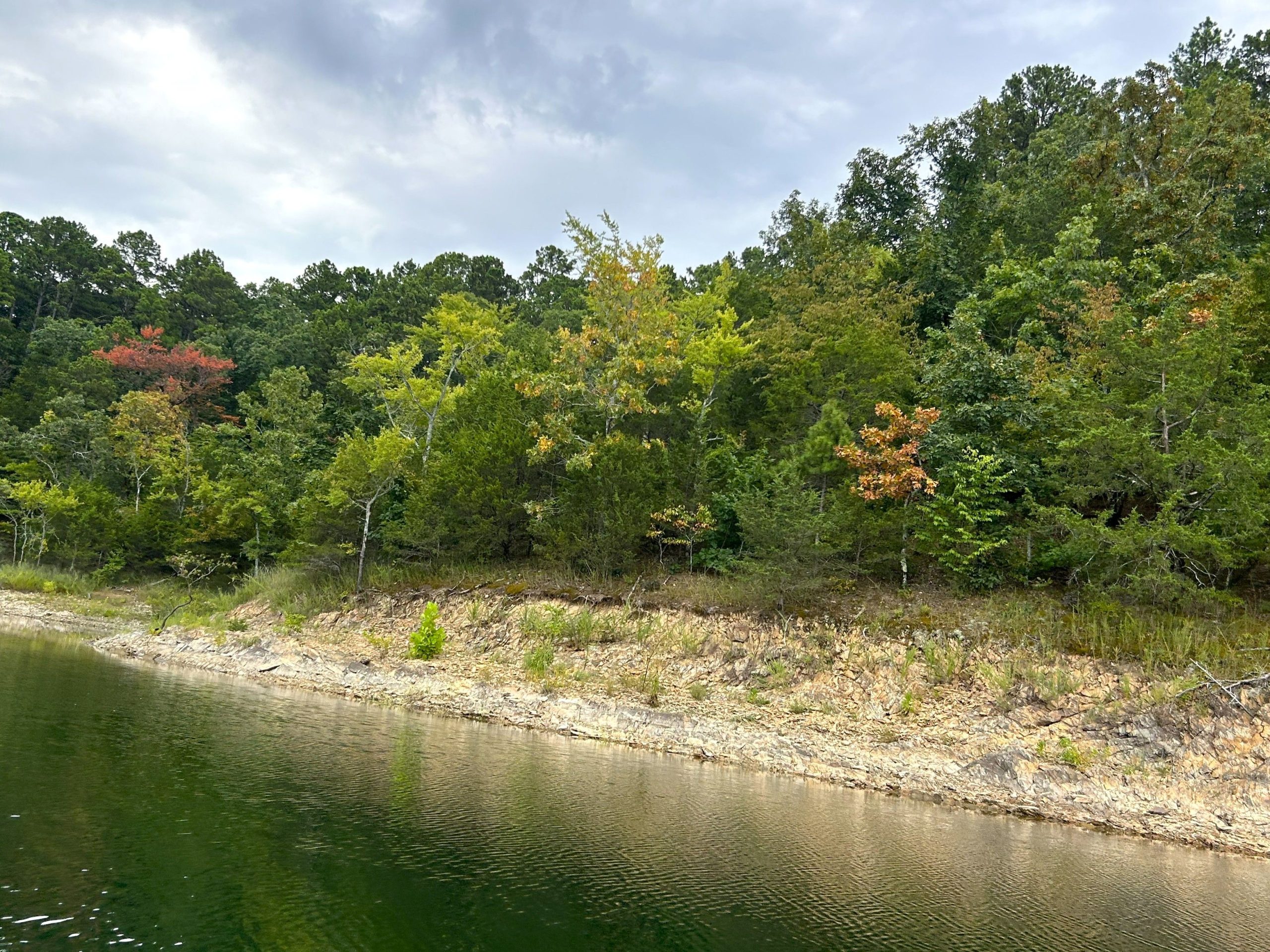
My sister-in-law grew up in Buckville, and her parents still live there, so we got a tour of all the places where she used to hang out. There’s a law of some sort that says that no buildings can border the lake, so except for boat ramps and campgrounds, it’s all trees.
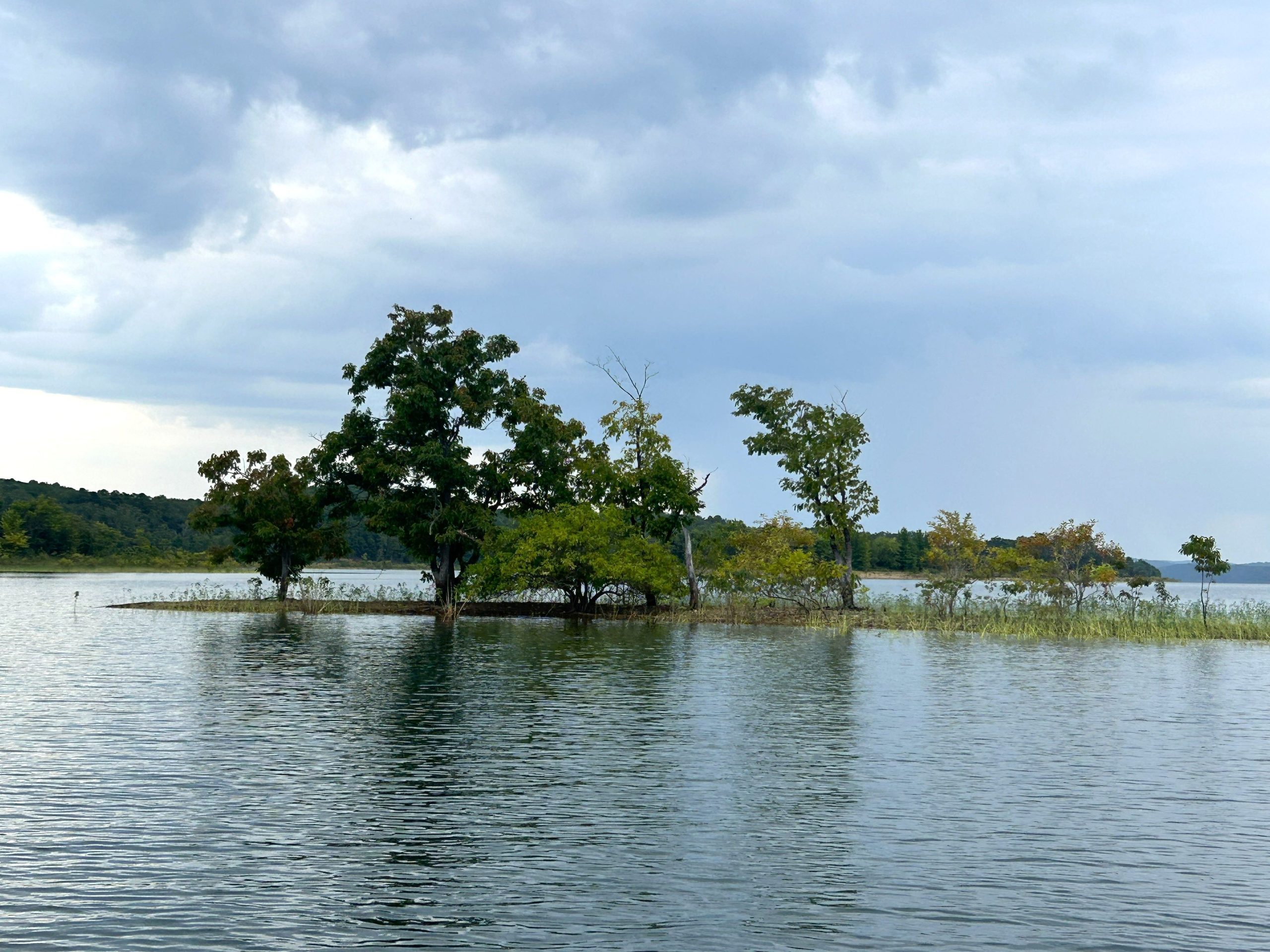
Some of the trees were already turning colors.
Today was cooler than the past three days have been, which isn’t to say it was cool. When we first set out, cruising across the water under cloudy skies, it felt nice, but whenever we slowed to look at anything, the mugginess attacked.
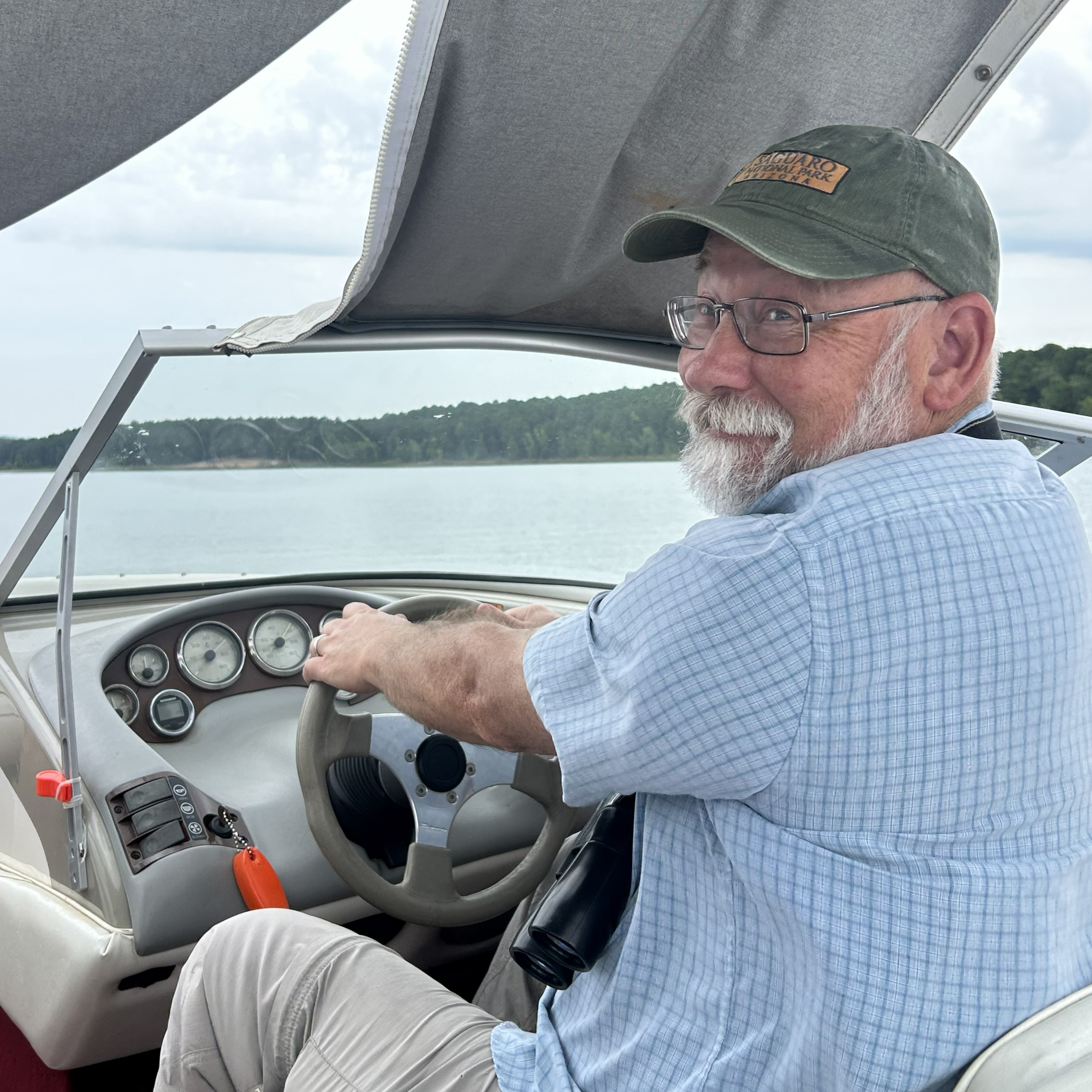
My brother-in-law even trusted me to drive the boat much of the way back. We didn’t die.
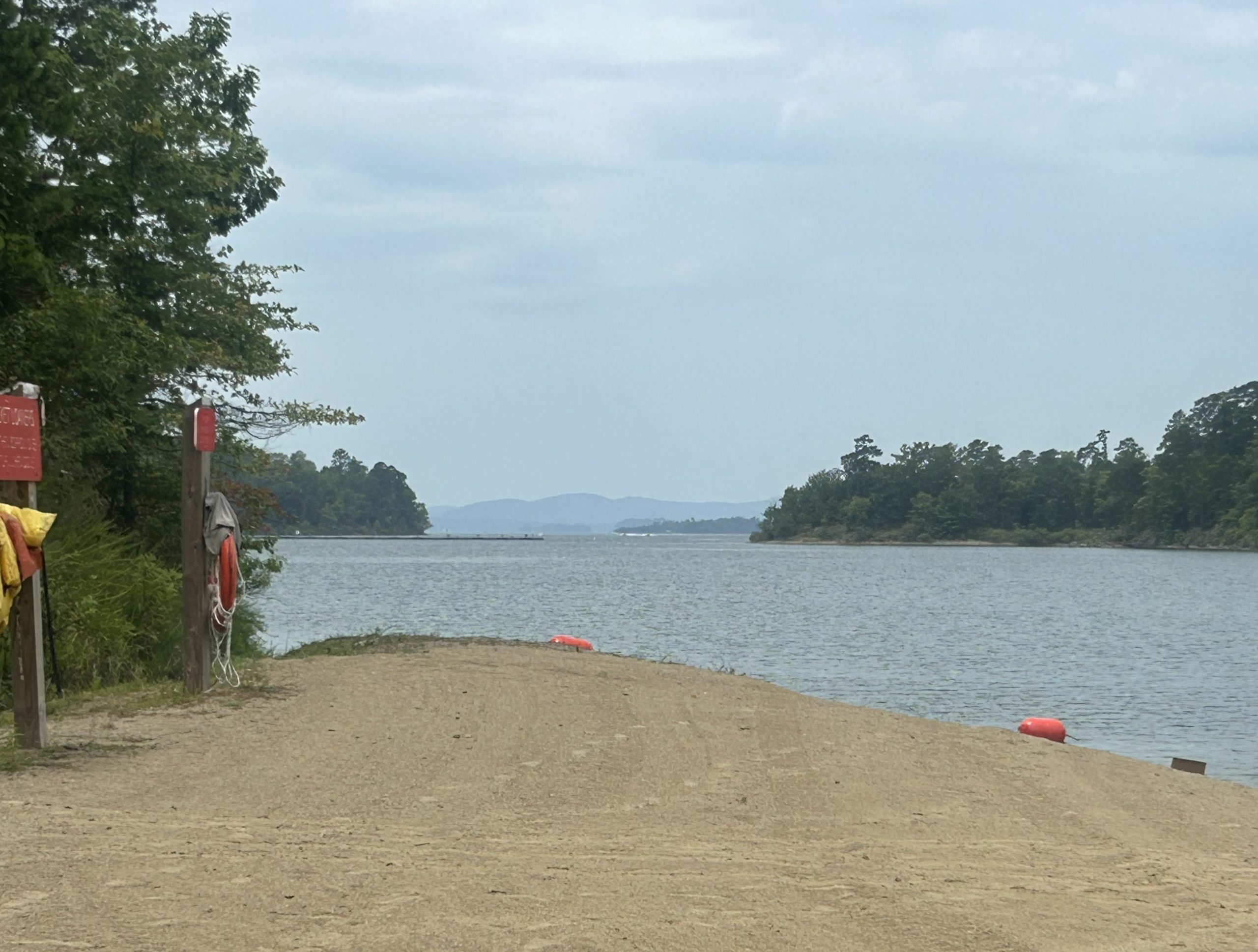
My wife and I then drove to the other end of the lake to Lake Ouachita State Park to get my passport stamped.
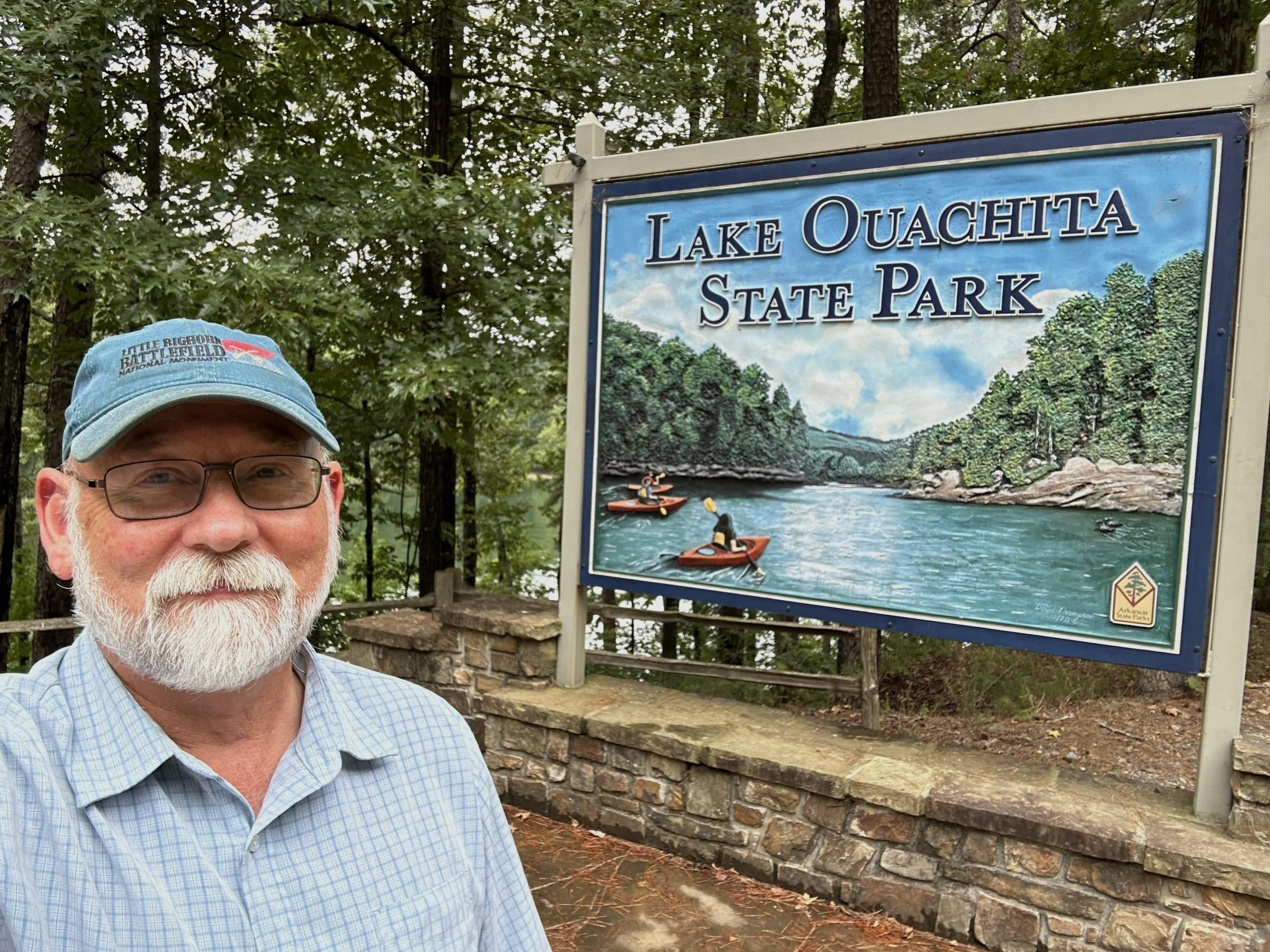
It’s your basic boat ramp, campground, picnic area park, located on a long peninsula. There’s a four-mile round-trip trail to the tip, but by this time the day was very hot and very muggy and there wasn’t a chance we were going to walk it.
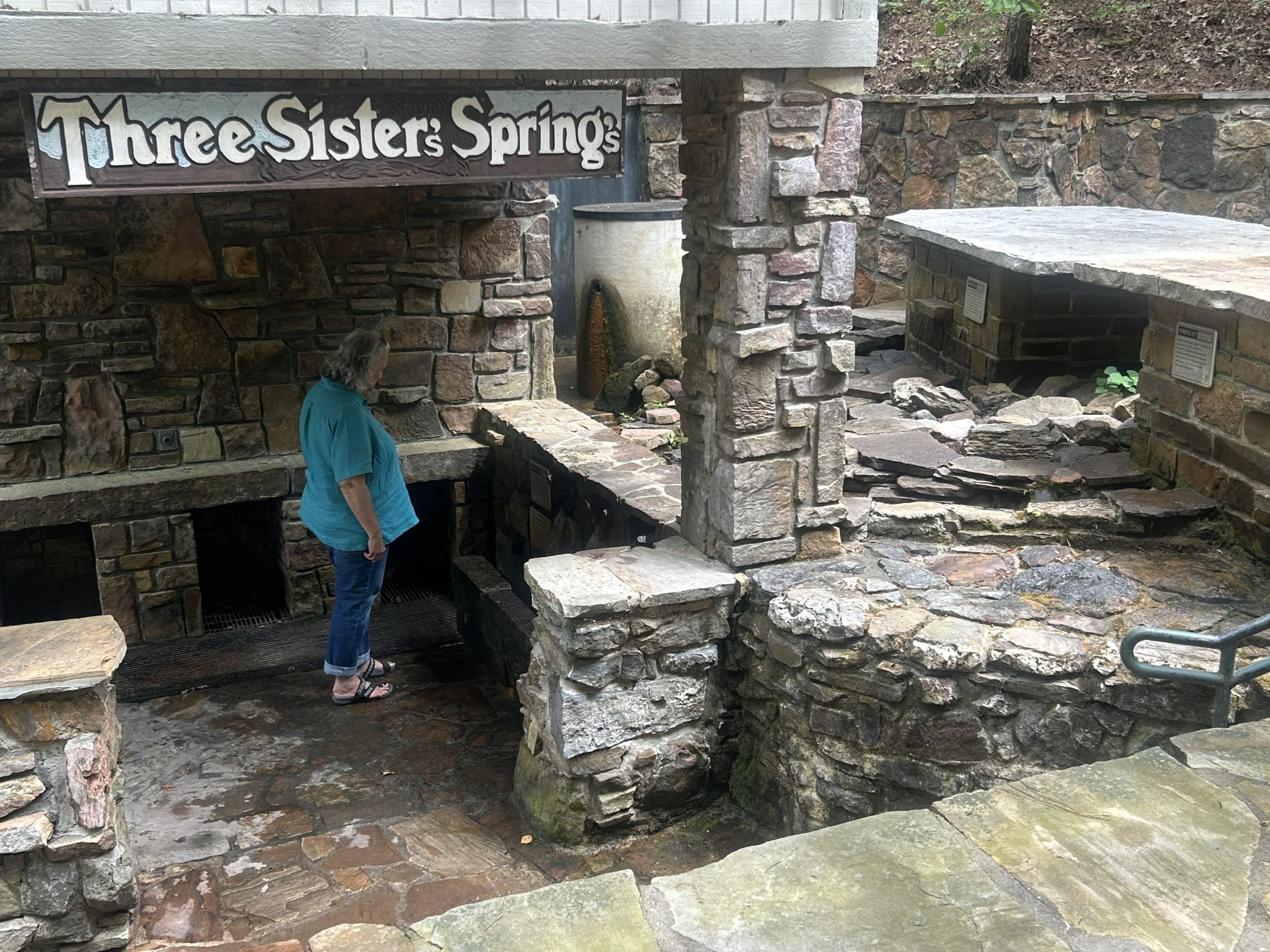
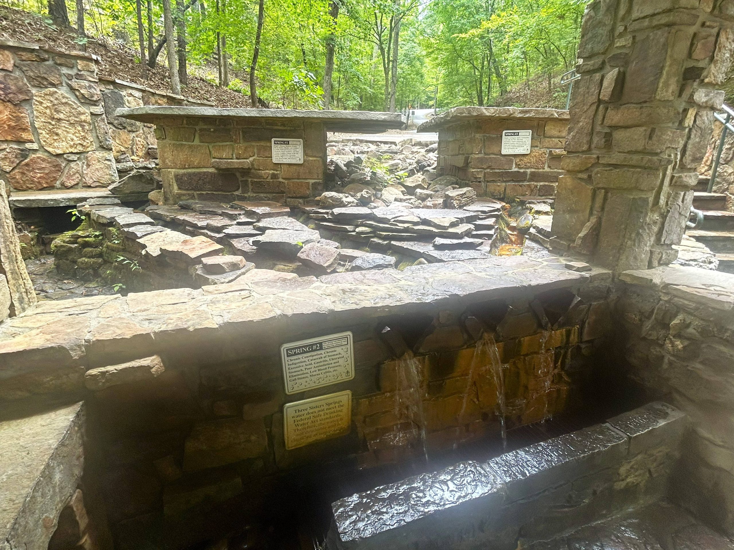
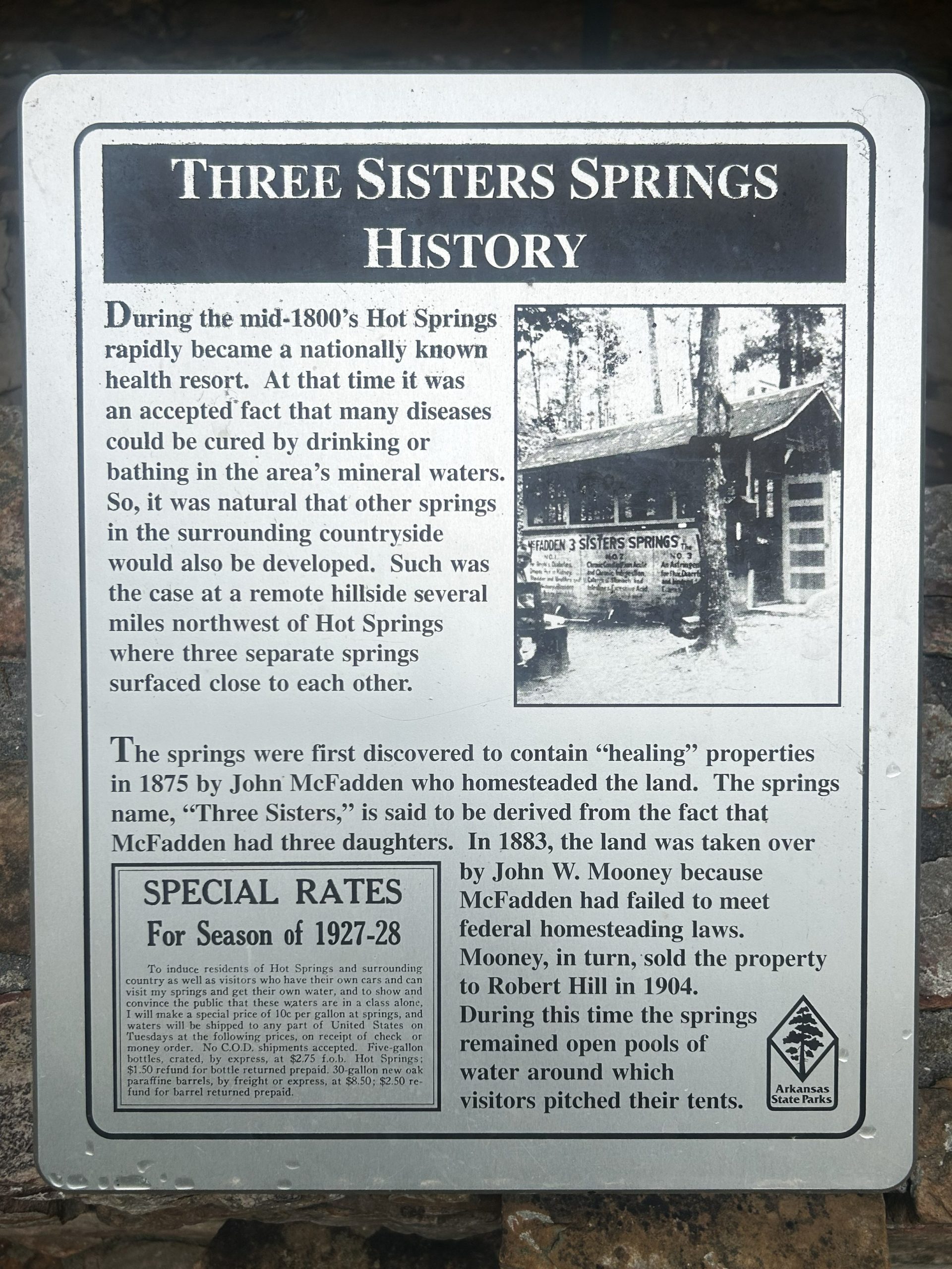
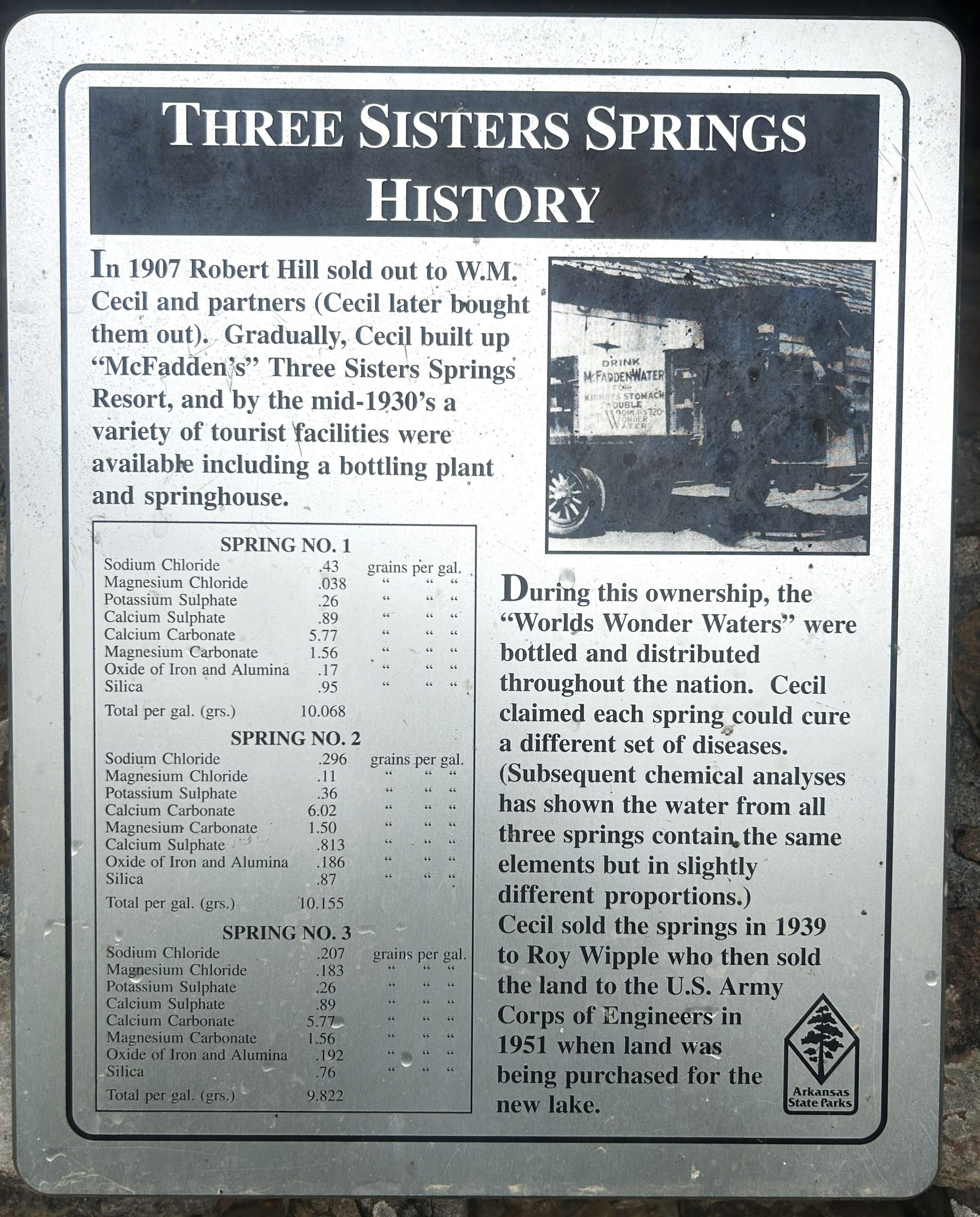
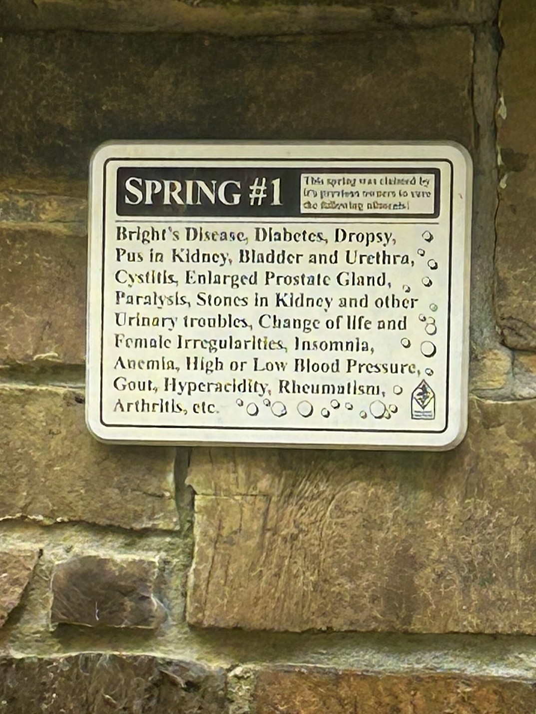
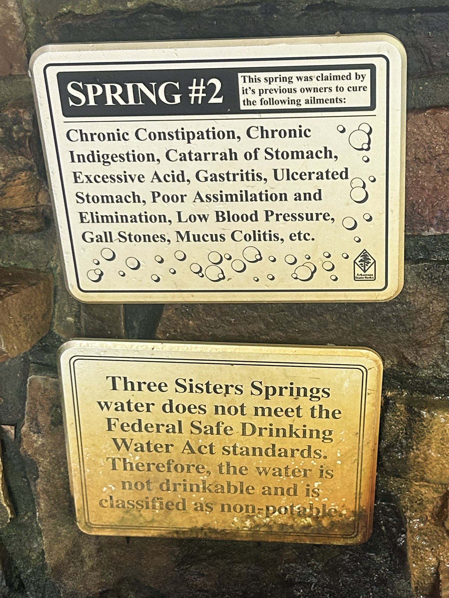
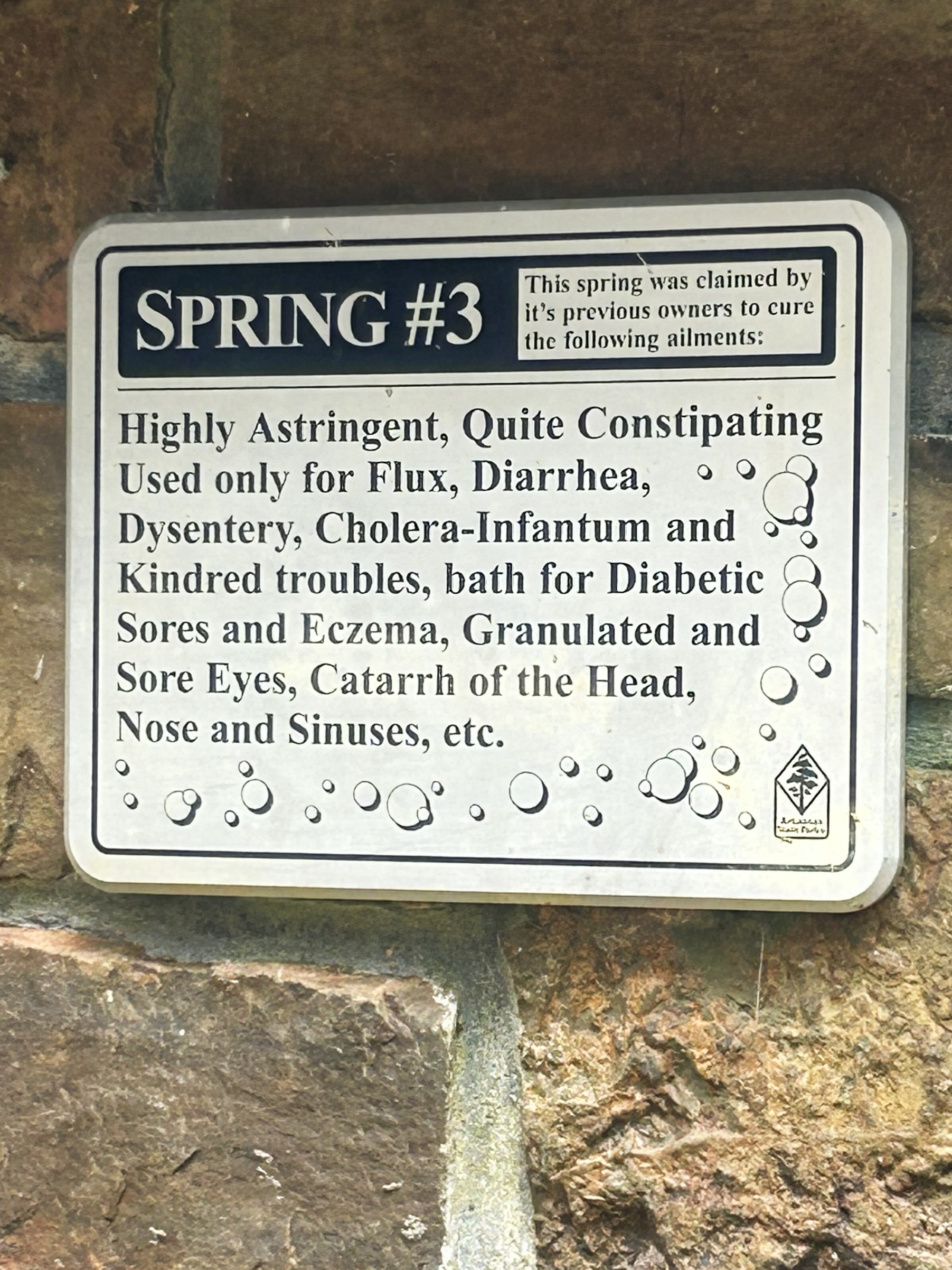
The park features Three Sister’s Springs — three trickles of water that run down rock channels into a trench and then out into the lake. Years ago, the owner claimed the spring water could cure whatever ails you. There were cabins and a resort on the hillside to accommodate the cure seekers.
We walked down to the beach to earn our passport stamp.
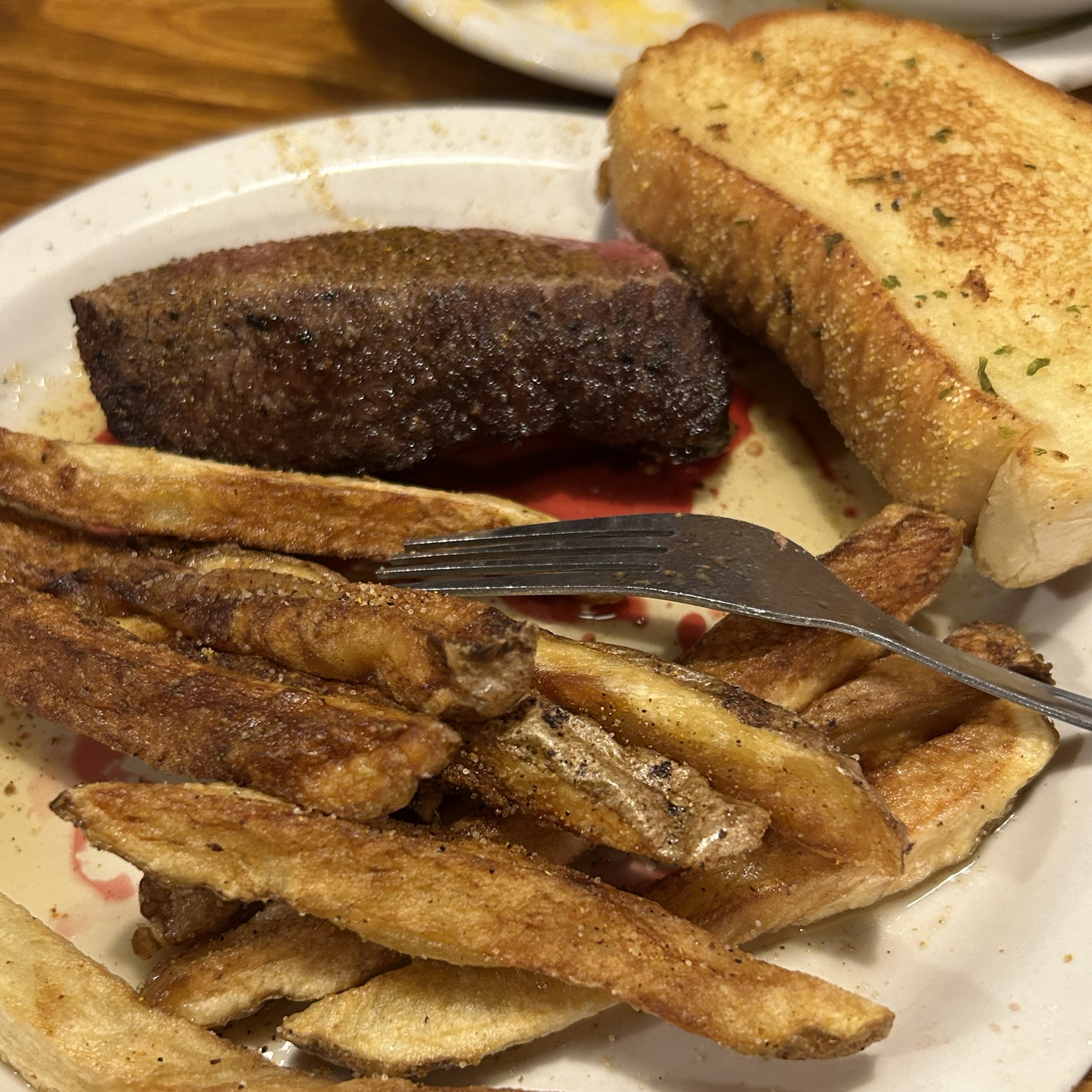
We stopped for lunch at The Shack in Jessieville, which turned into something of an adventure. The sign on the door said they only take cash, and we didn’t have much. We each got a burger and split an order of fries. We paid with bills and quarters and left a pretty decent tip with dimes.
An oh, it’s pronounced WASH i taw.