Mt. Coolidge

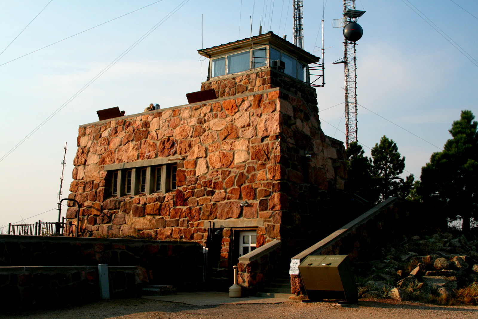
We stuck closer to home on Saturday and drove the Wildlife Loop Road in Custer State Park — after eating breakfast at Baker’s Bakery, of course. Our first stop was the Mount Coolidge Fire Tower.

In 1927, President Calvin Coolidge came to the Black Hills for a three-week vacation and liked it so much that he stayed for three months. His visit resulted in a great deal of publicity for the region in general and for the proposed Mount Rushmore monument in particular and is credited for making the region a tourist hot spot.

The fire tower is still in active use by Custer State Park.
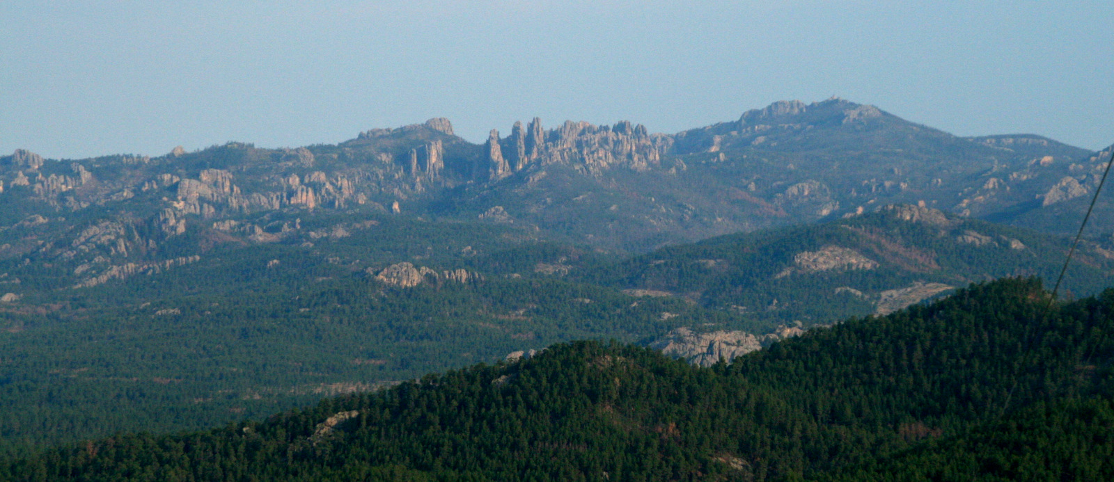
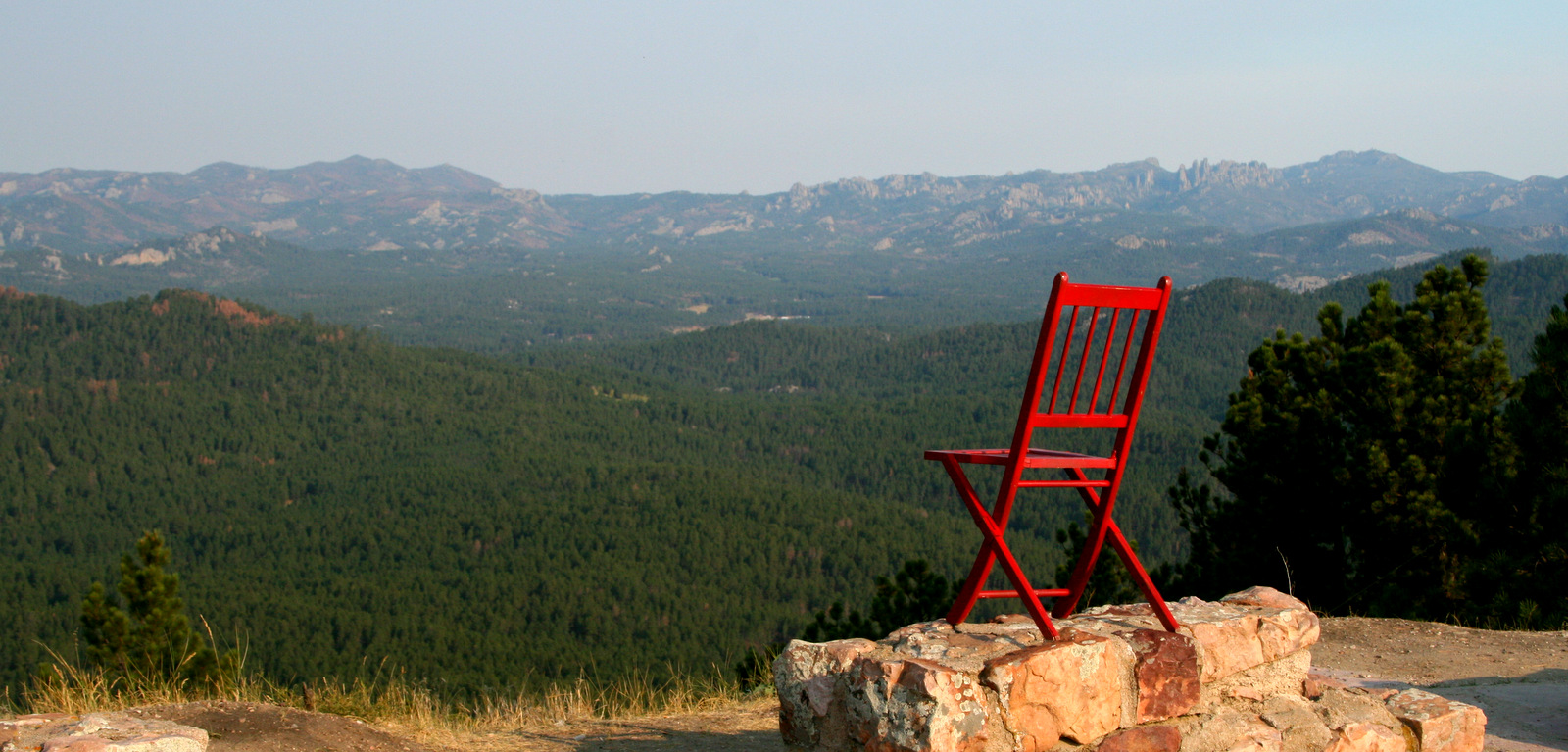
Harney Peak is on the right. At 7,242 feet, it is the highest point in the United States east of the Rockies. Just to the left of the peak are the Needles. We skirted Harney Peak several times during the week and our lodge was only a few miles away from it, but this is the only time I actually saw it.
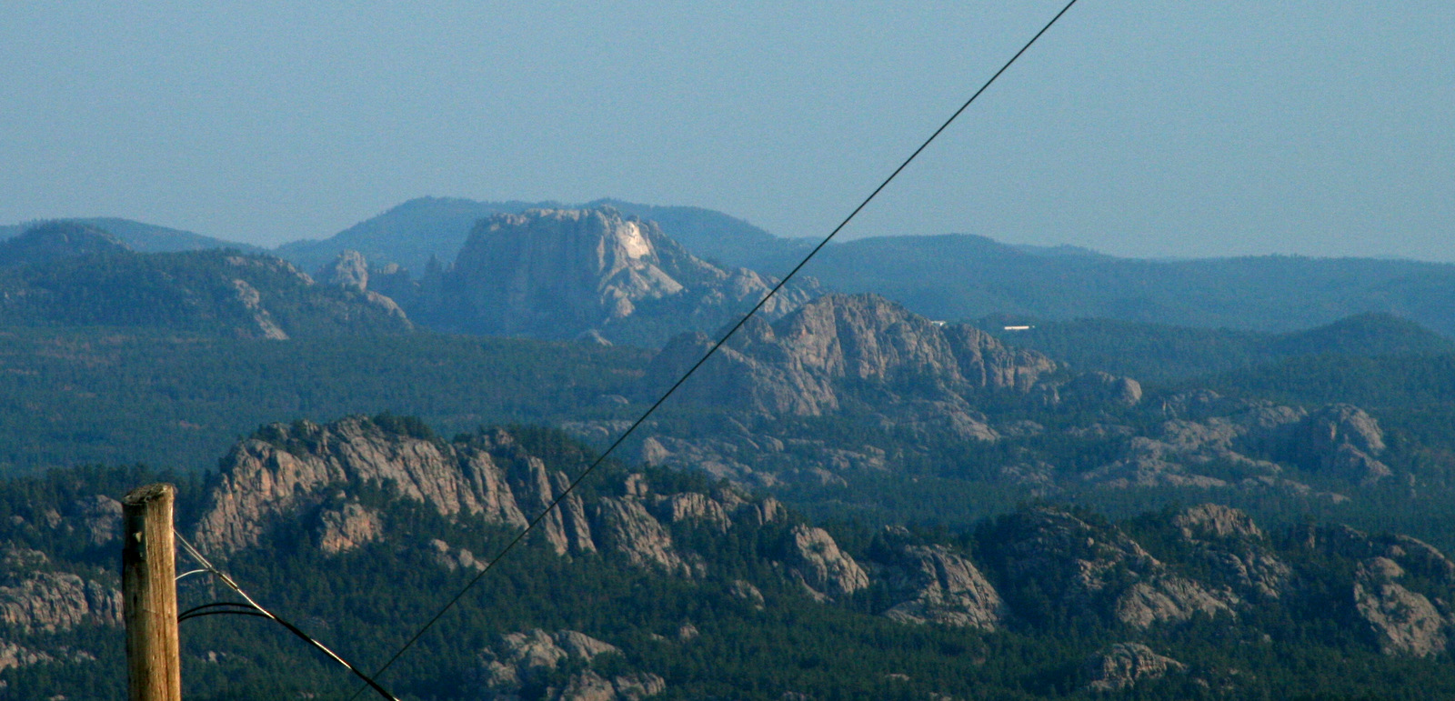
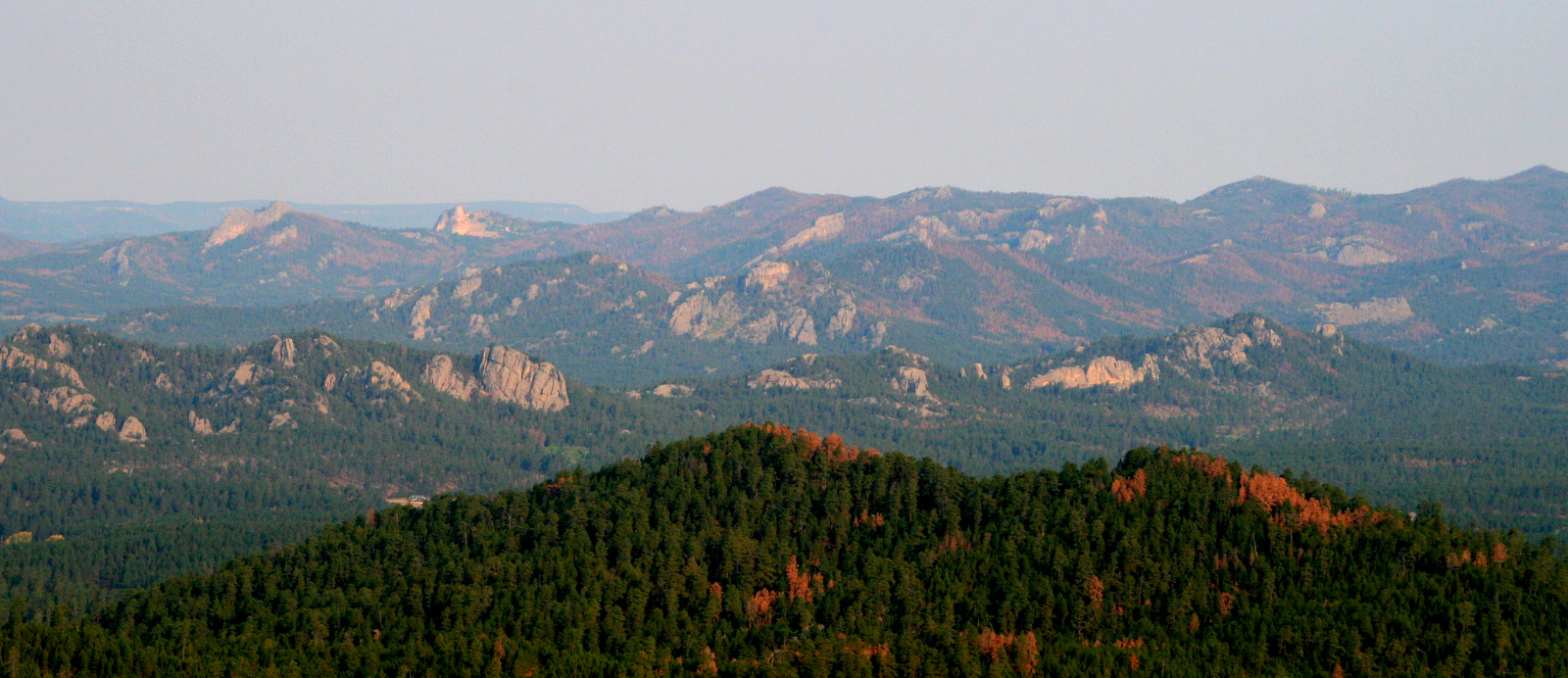
Mount Rushmore
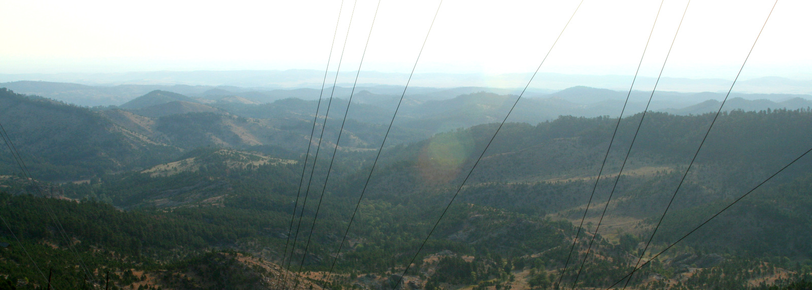
The view to the southeast.
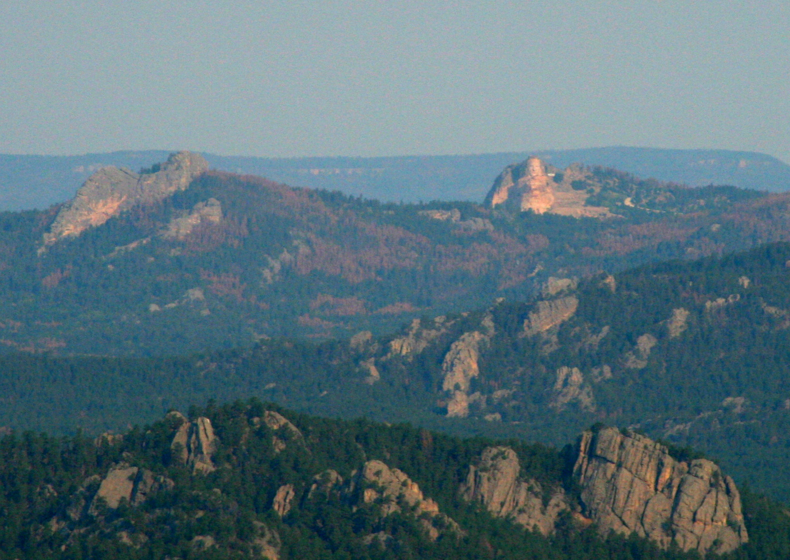
Crazy Horse Memorial. Note all the trees killed by pine beetles.
A closer look
Harney Peak is in the right distance of my Red Chair shot.
Posted in Scenery | Comments Off on Mt. Coolidge

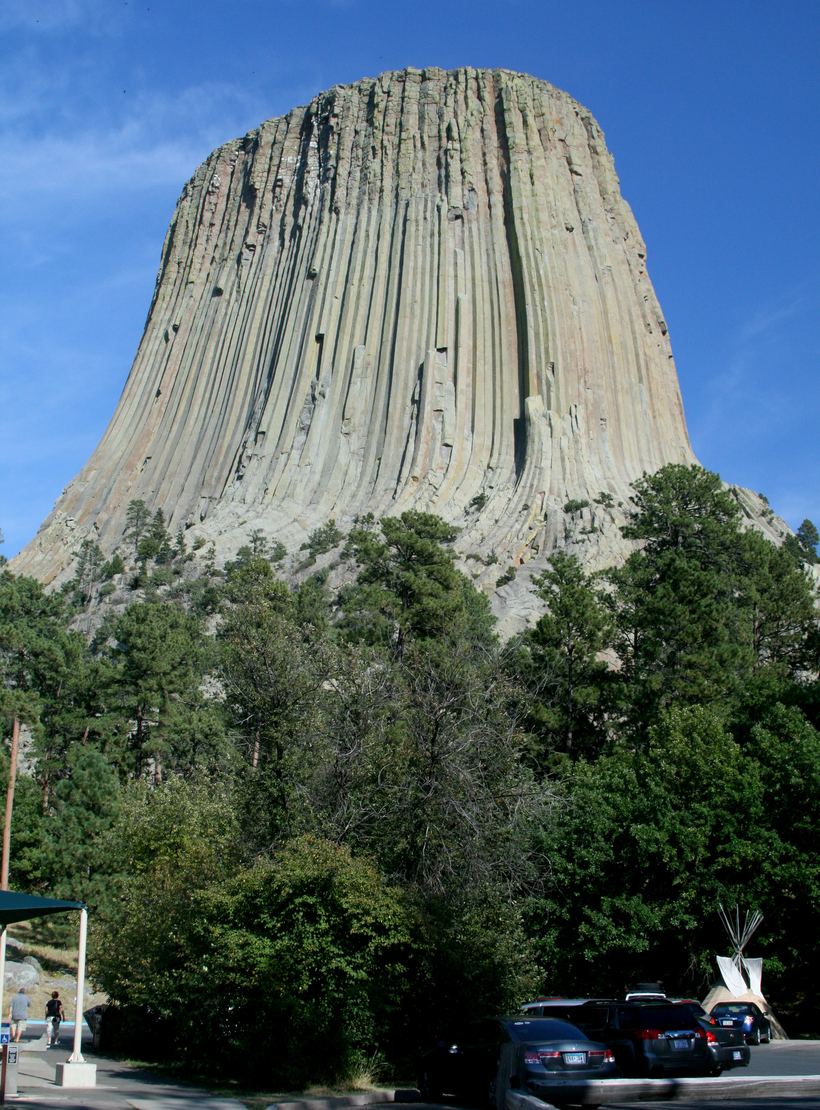
Devil’s Tower National Monument, Wyoming

Devil’s Tower is cool, but if you’re not a rock climber, there isn’t a lot to do there. Even the park web site, under “Things To Do” only lists hiking and looking at a sculpture of smoke.

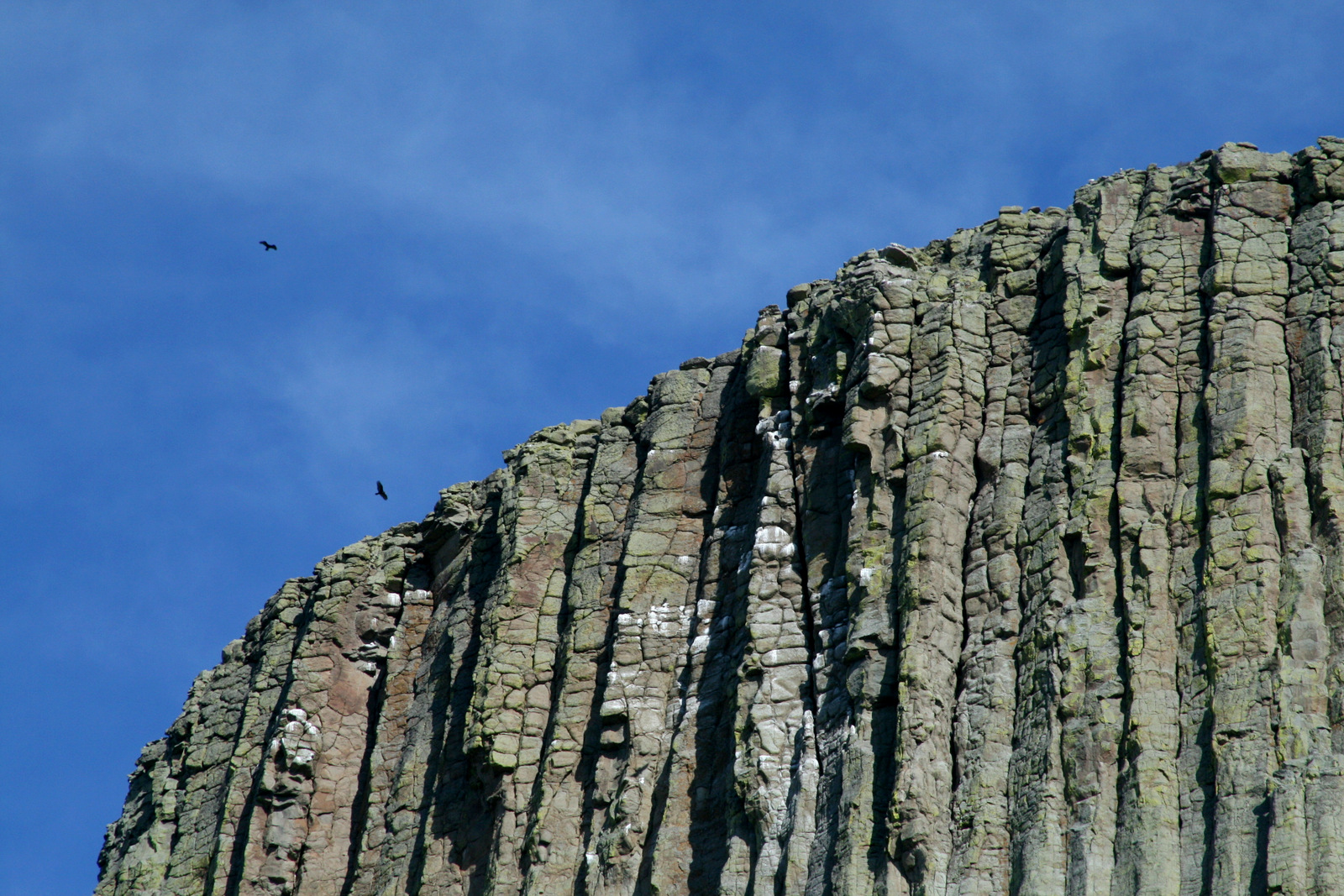
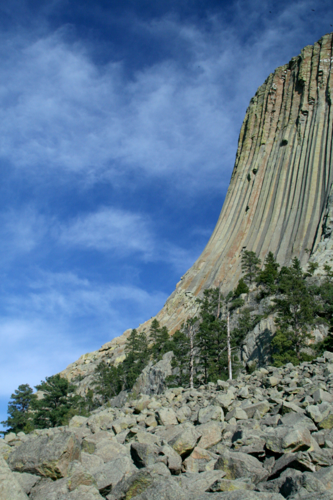
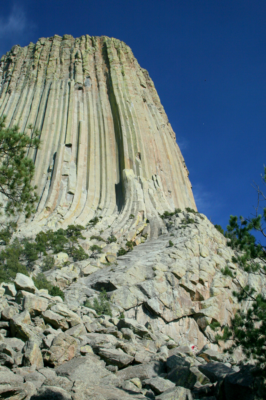
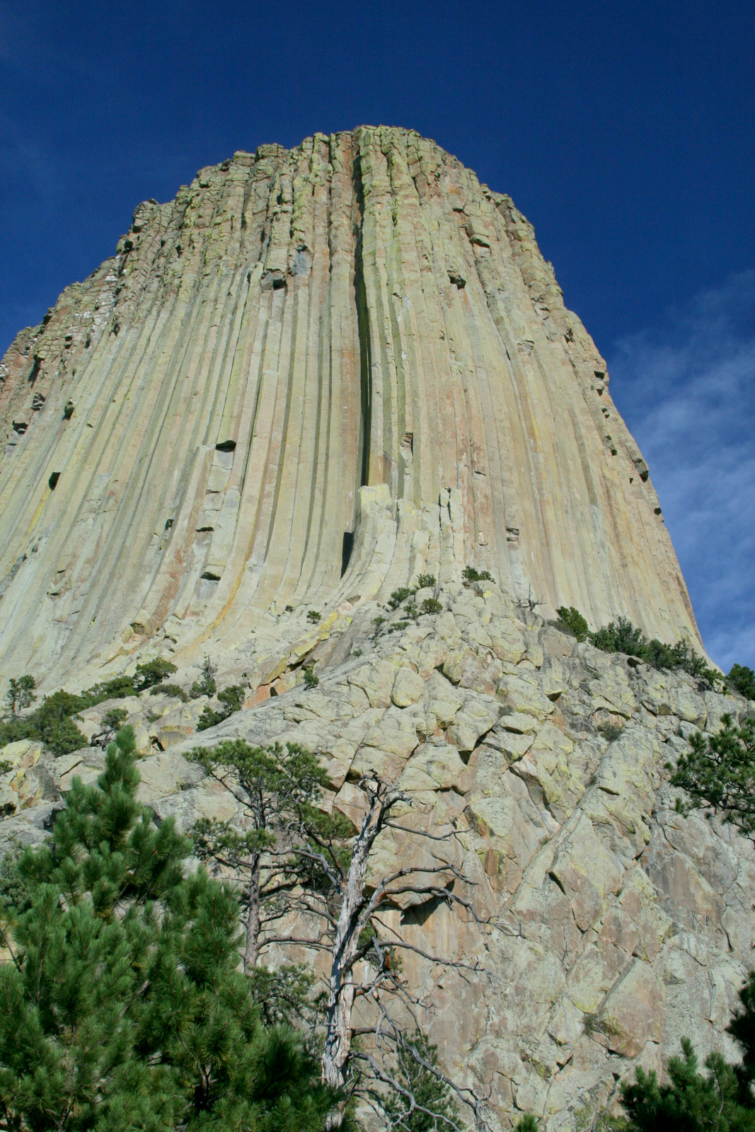
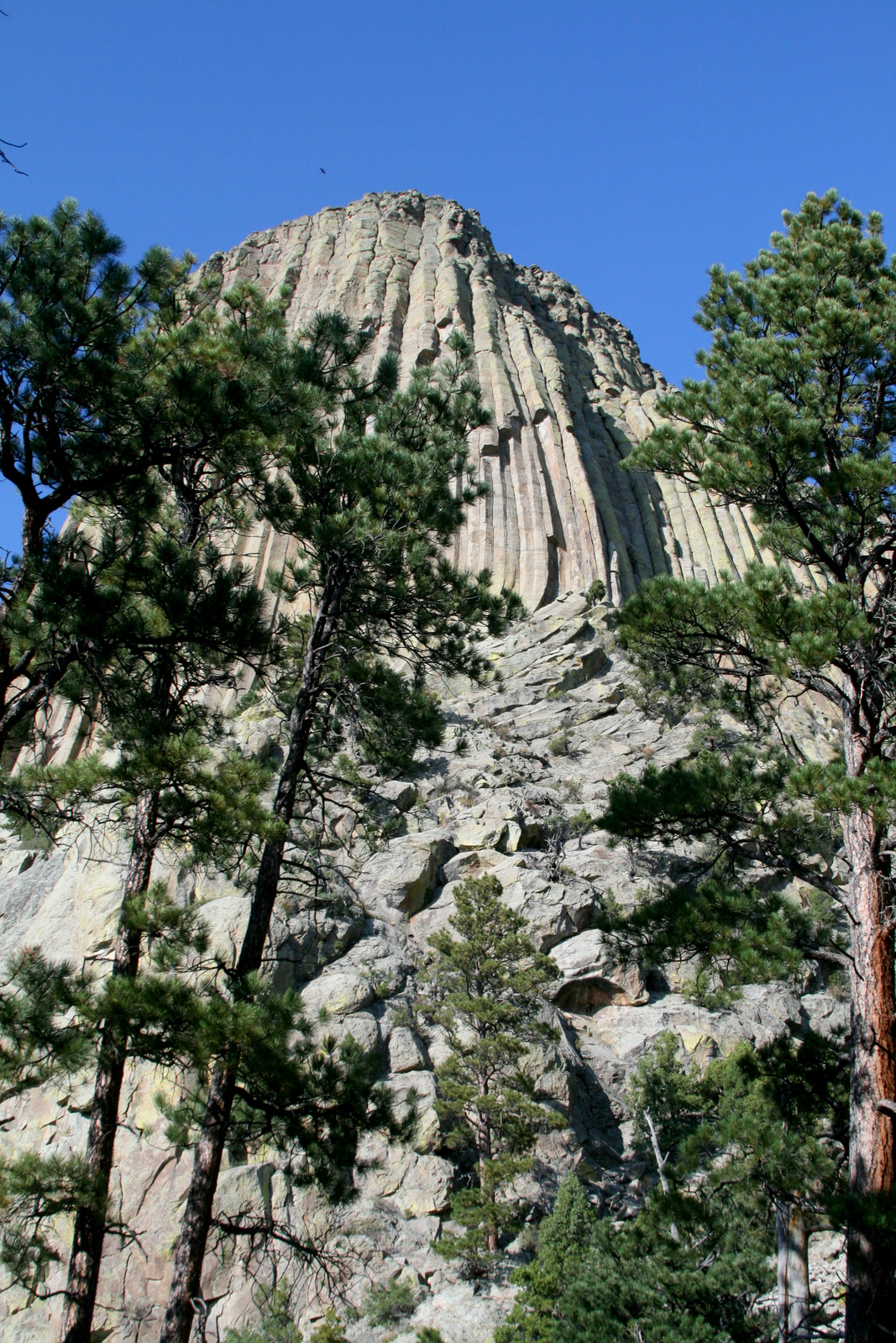
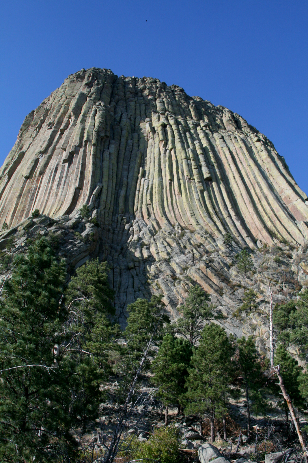
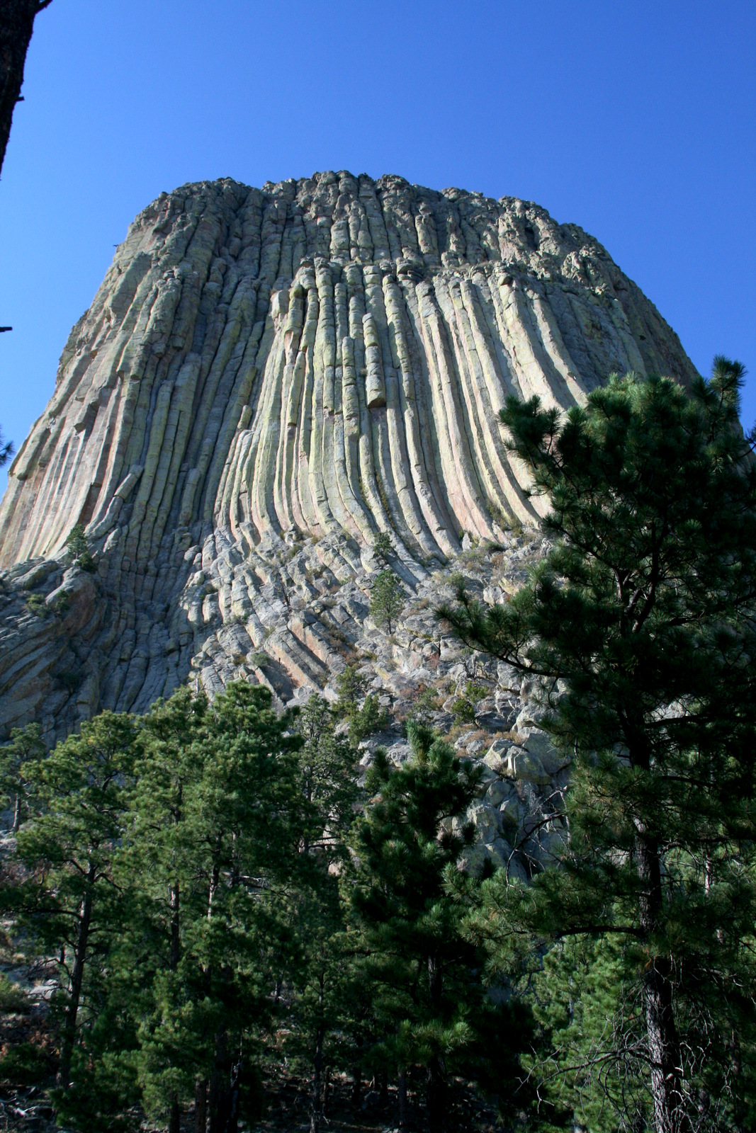
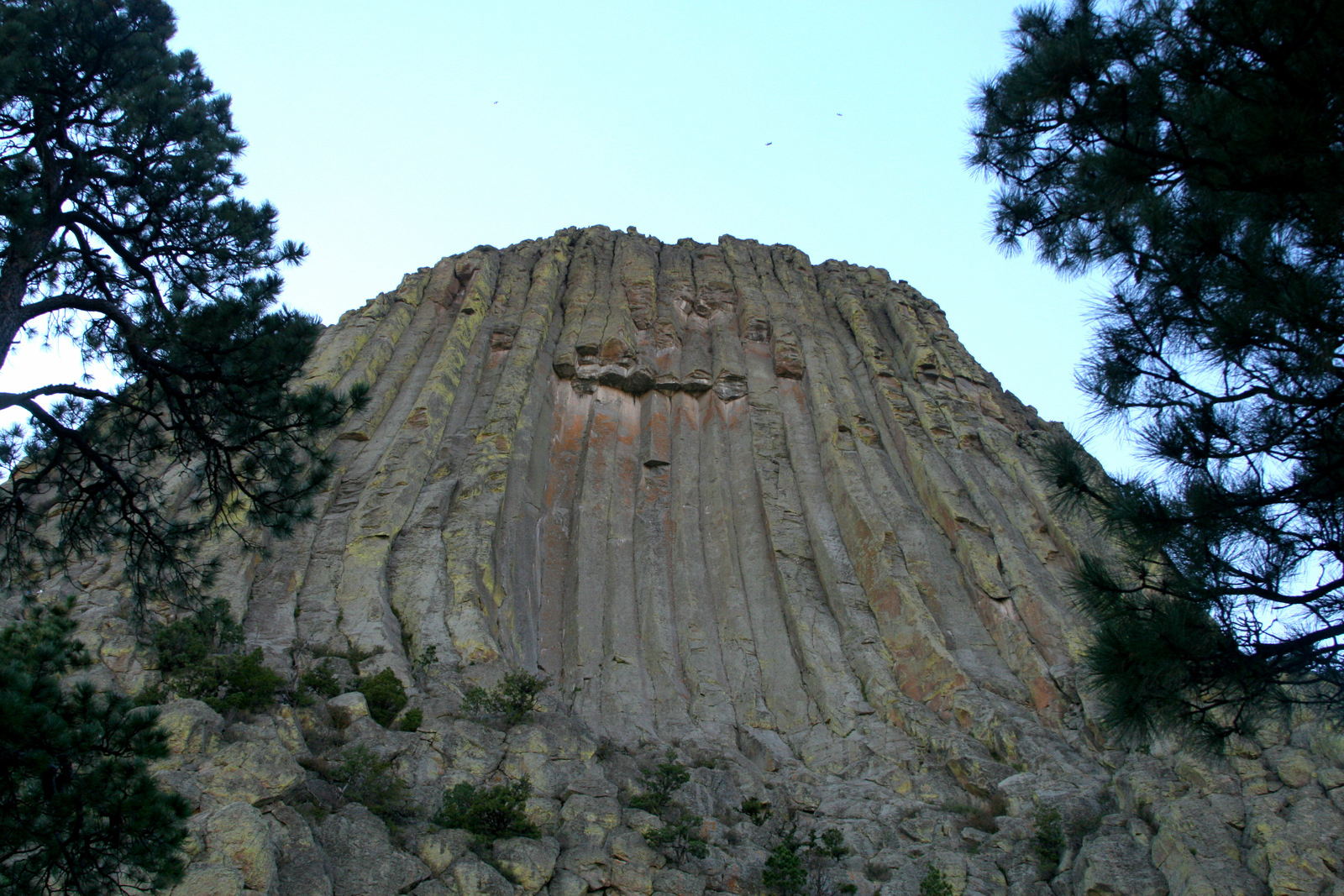
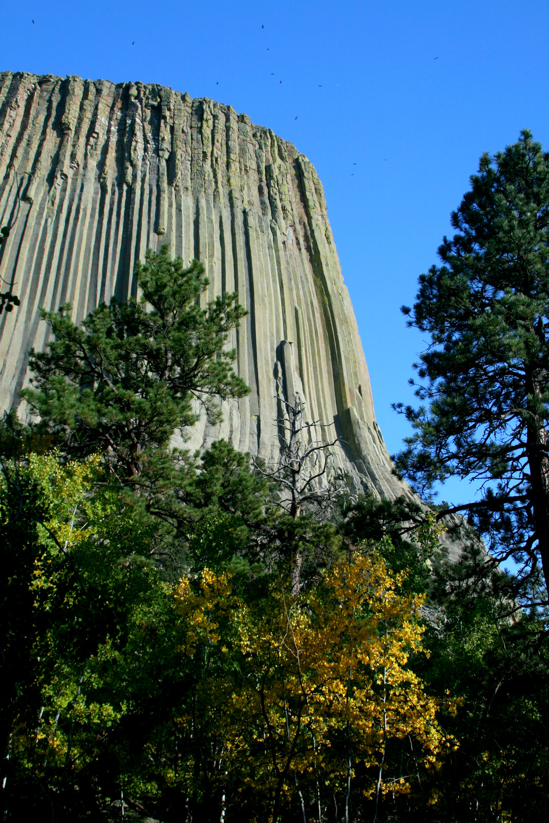
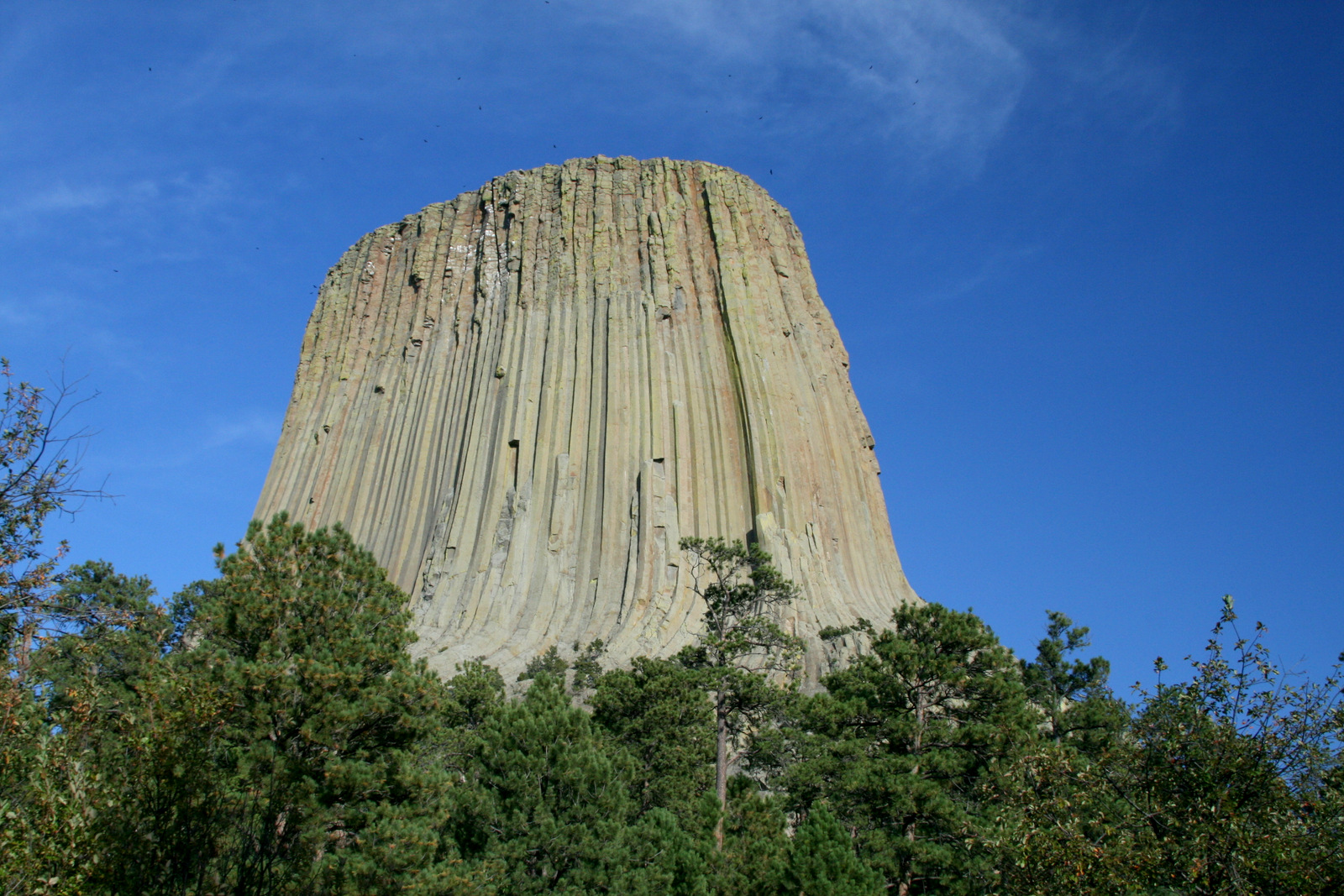
We spent a couple minutes in the visitor center, then hiked the 1.3 mile paved trail around the base. I took a ton of photos because, well, there was this gigantic rock tower RIGHT THERE and taking pictures seemed like the thing to do. But the pictures all look pretty much the same, so I will only post a sampling. Trust me, these are all separate photographs, taken as we made our way counter-clockwise around the tower from the visitor center.

Turkey Vultures and Rock Doves circled the plateau.

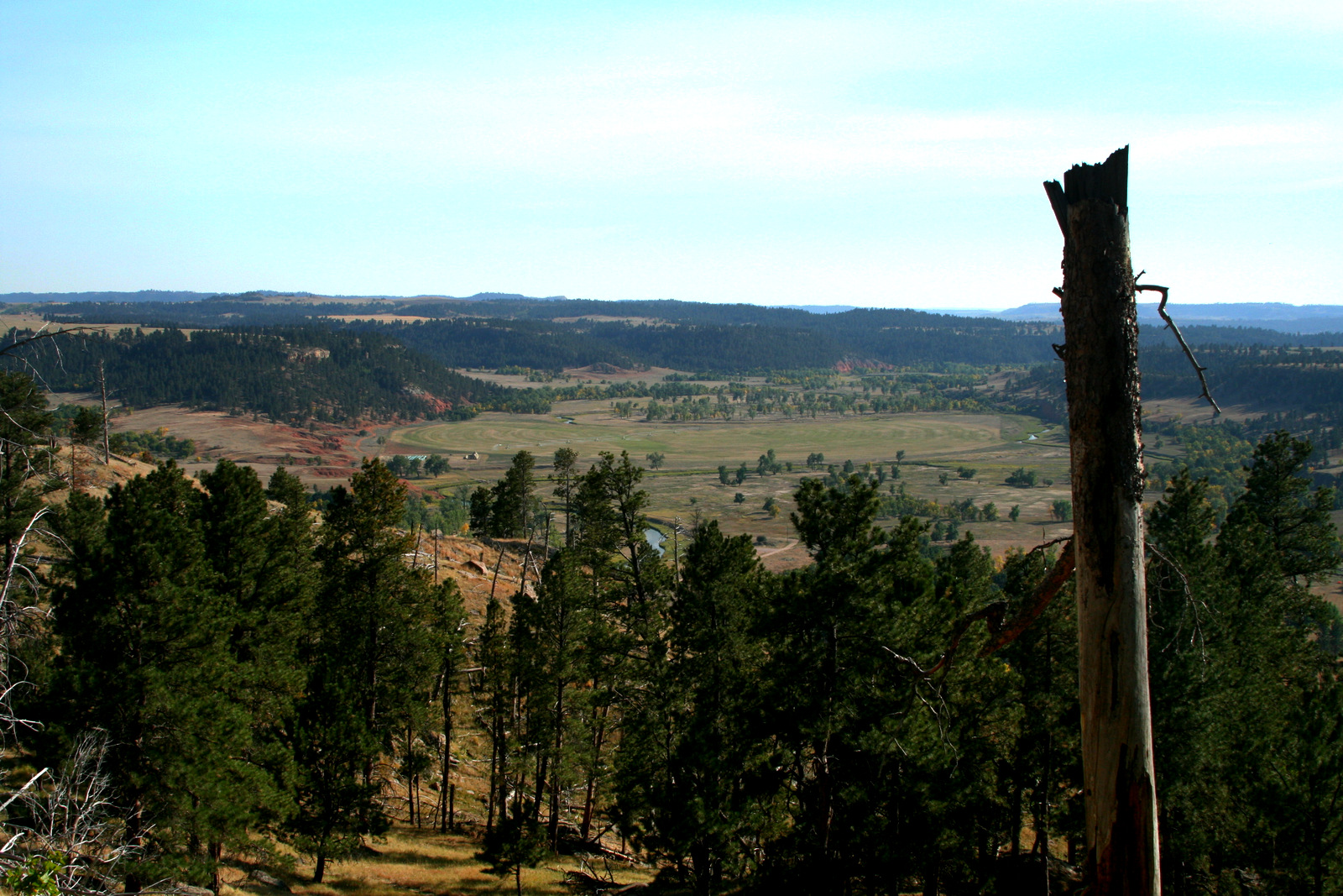
The base trail was high above the surrounding plains, and we occasionally got a view. This one is looking east back toward the Black Hills.

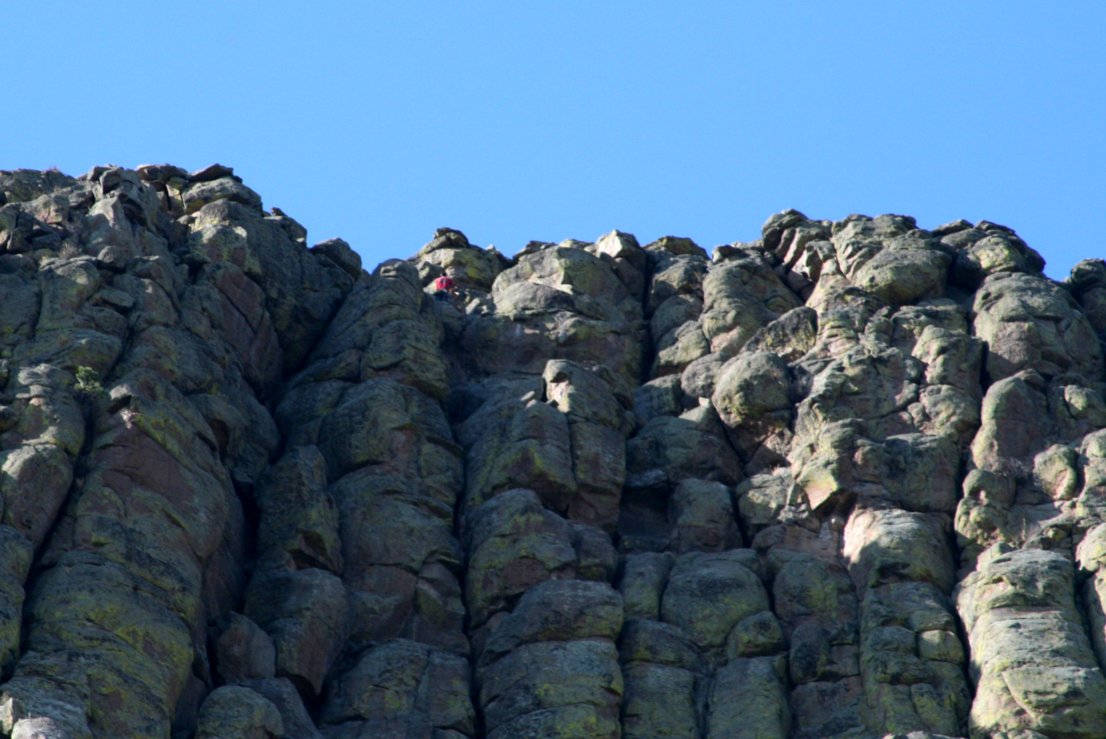
There was at least one guy climbing the tower this day. You can see his red shirt near the edge.

The hike was easy, the view was impressive, the weather could not have been more pleasant and the company was amazing.

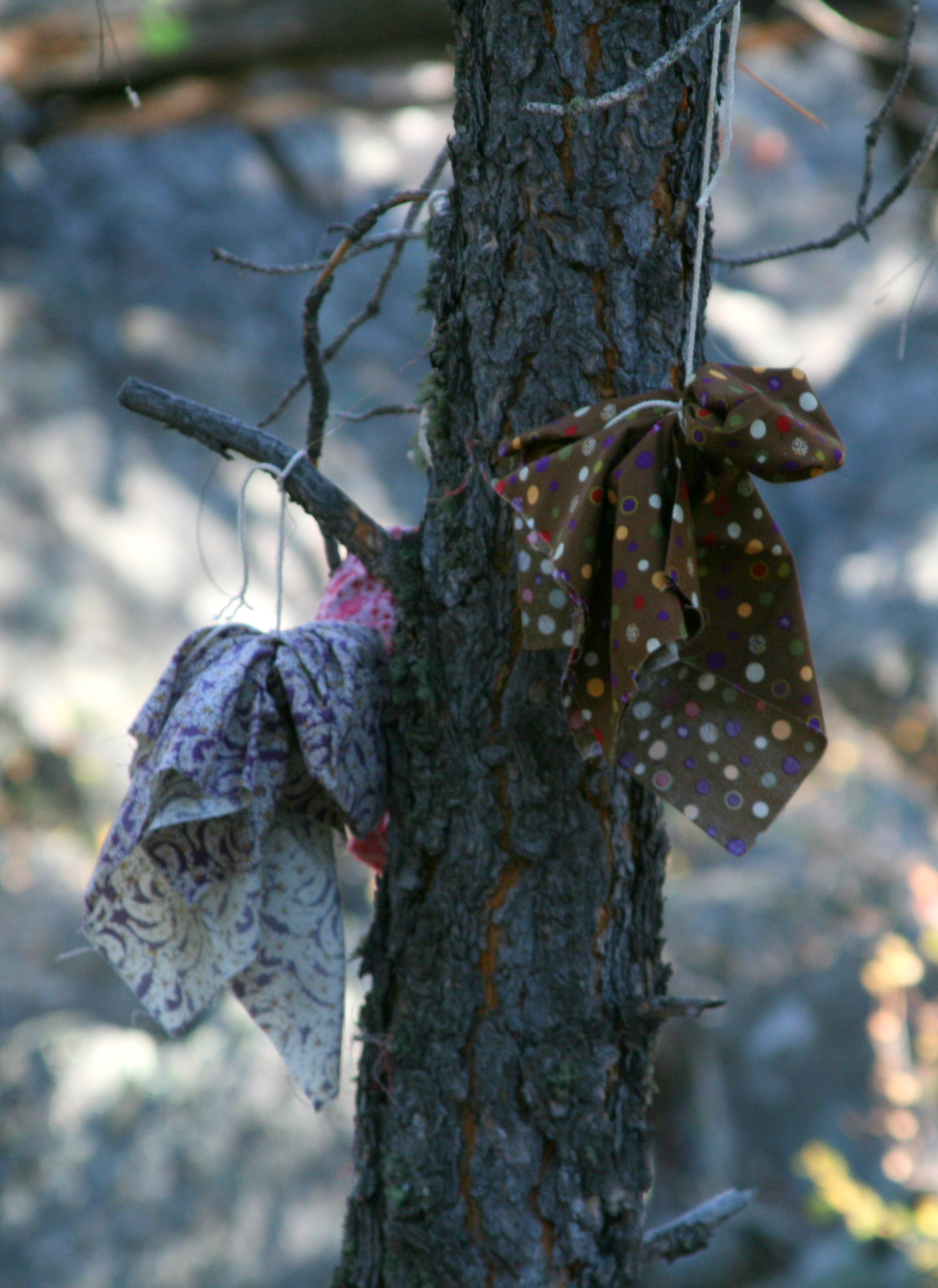
Supposedly, some people find the tower sacred. There were prayer flags tied to trees along the trail.

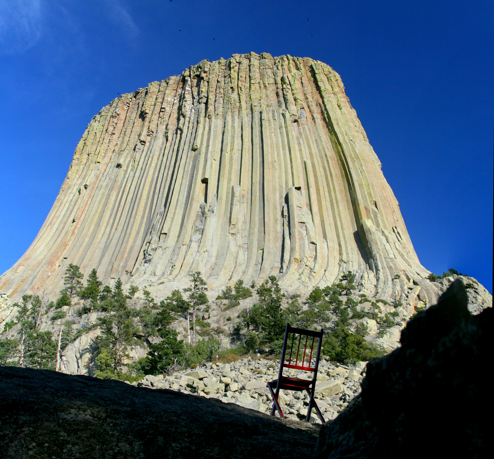
After we circled the tower, I ran back to the car and got the chair. It was hard to find a place for a photo — the tower was so large and so close. But I finally settled on this shot.

And that was about it. We paused to look at the prairie dog town near the entrance, then headed back to South Dakota.

Posted in Wyoming | Comments Off on Devil’s Tower National Monument, Wyoming

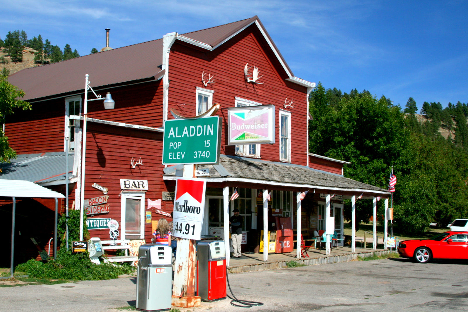
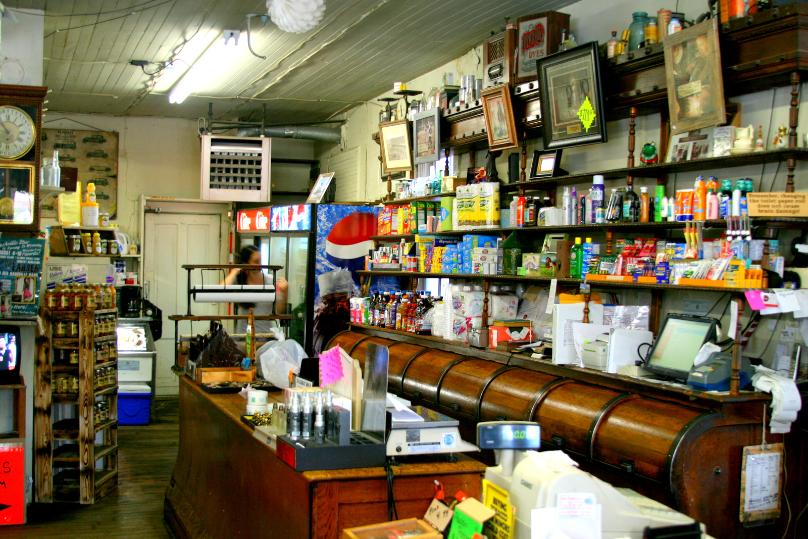
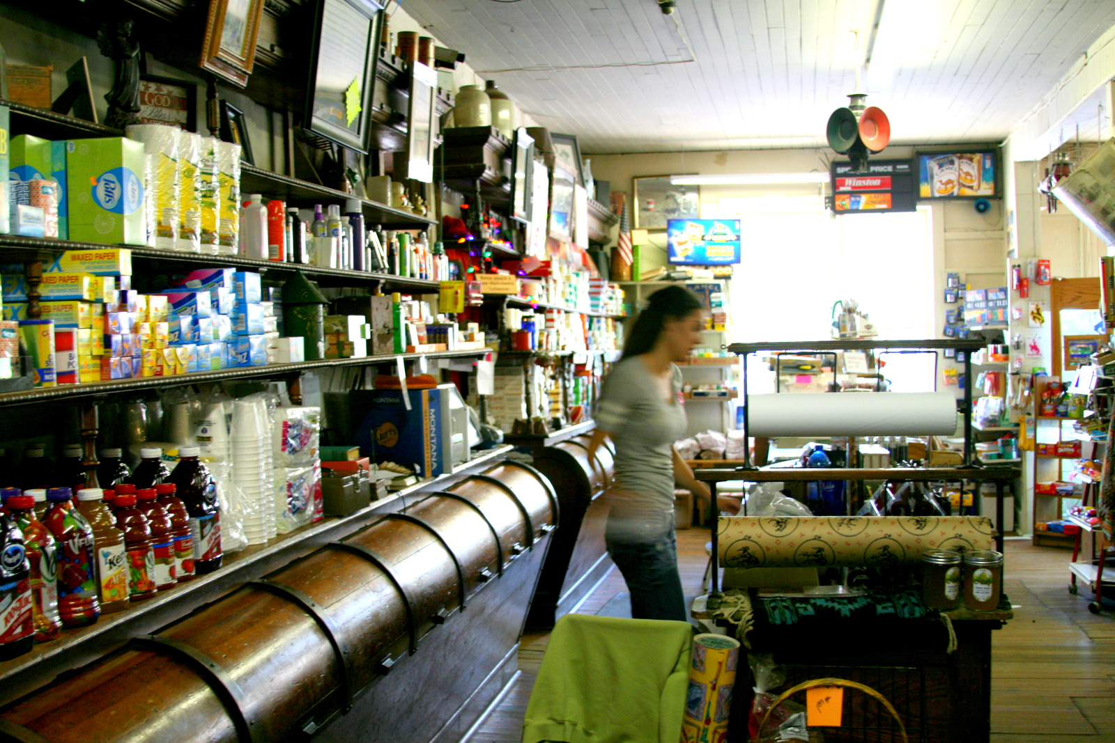
Aladdin General Store

As we drove from Belle Fourche to Devil’s Tower it occurred to us that we were thirsty. The next town on the map was Aladdin, but it didn’t look like there was much to it.

There wasn’t. The town was pretty much just this store which has been around since 1893 or so.

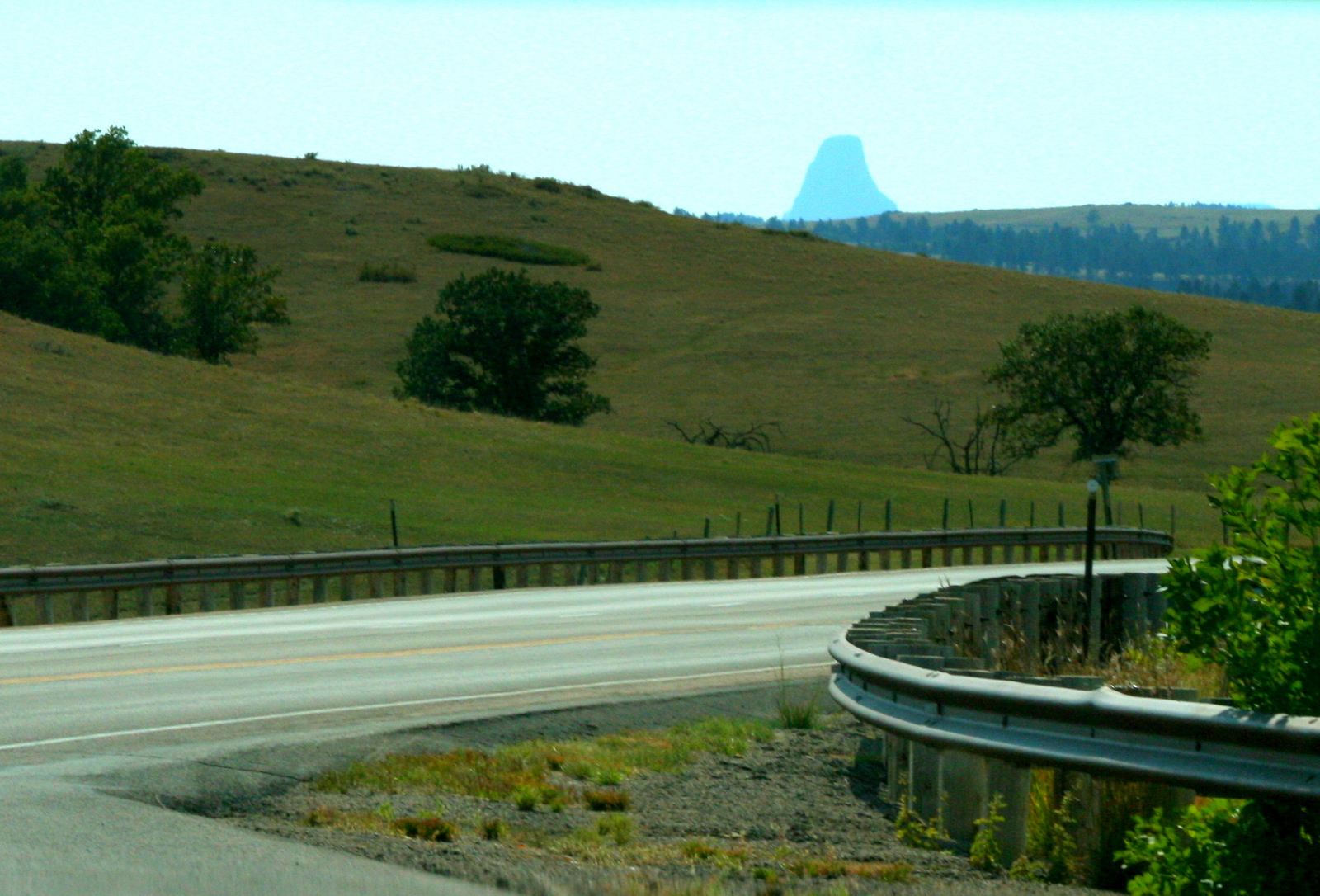
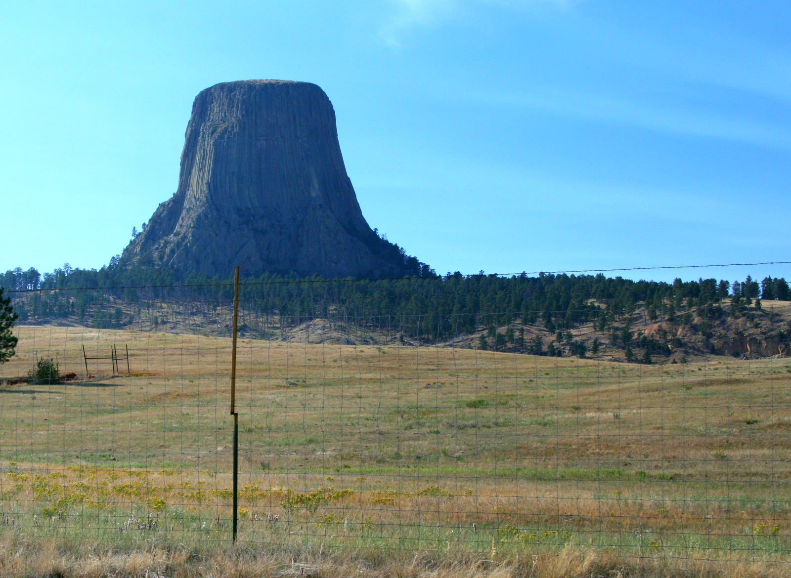
We wandered around inside for a few minutes, bought drinks and junk food and headed west. It wasn’t long before we got our first glimpse of Devil’s Tower.

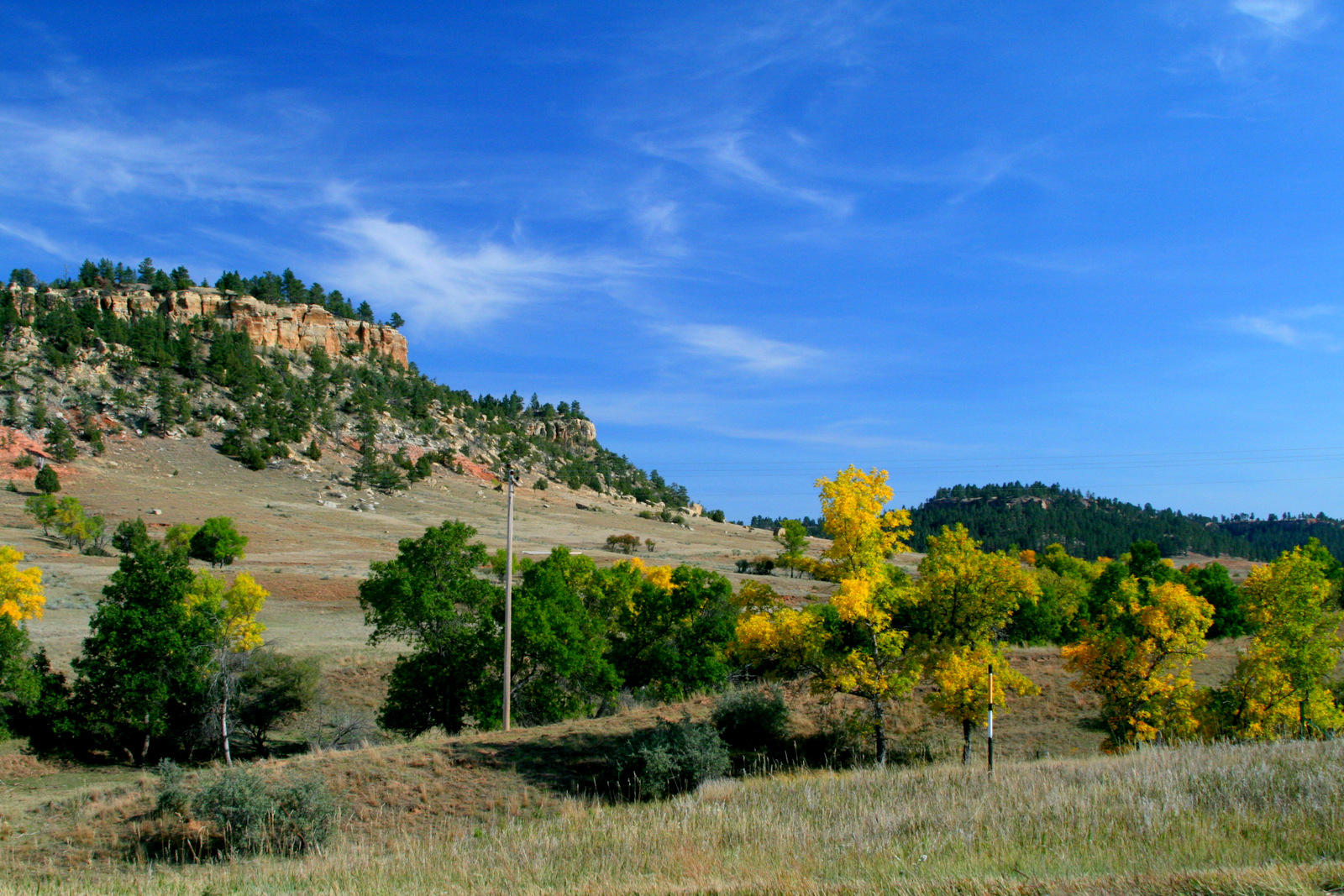
The little bit of Wyoming I saw out the car window was stunningly beautiful.

Posted in Wyoming | Comments Off on Aladdin General Store

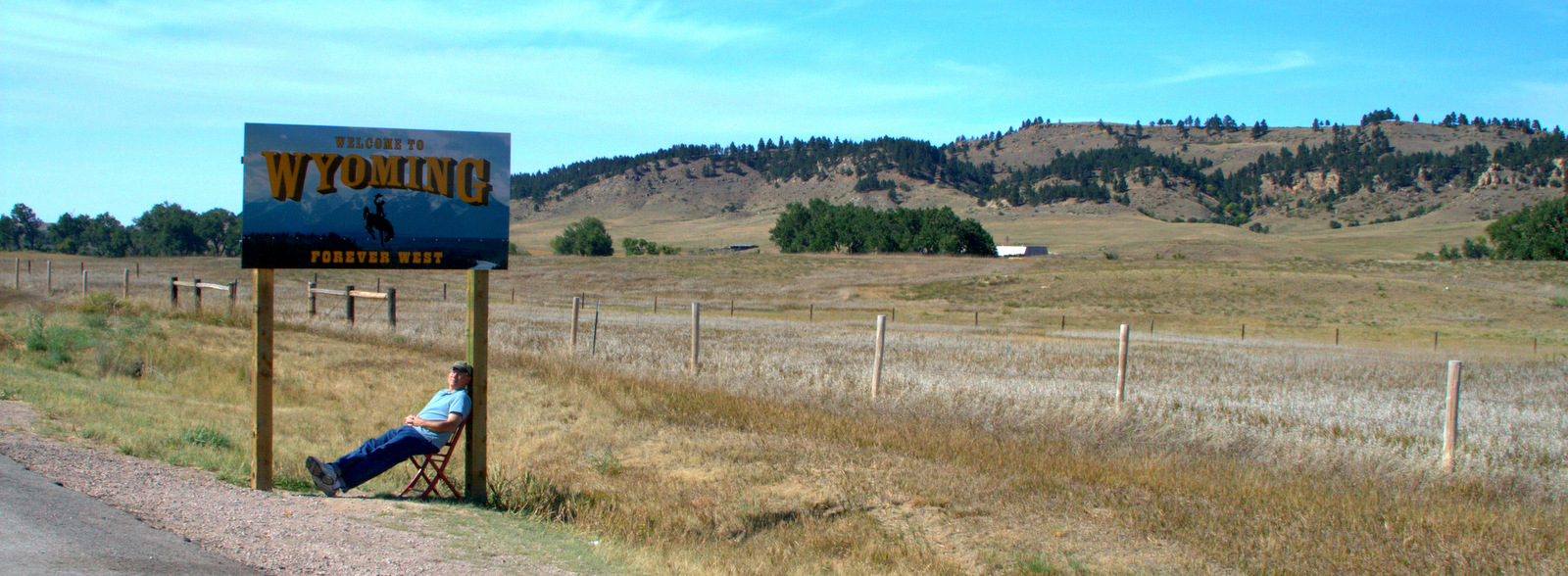
Wyoming

Posted in Wyoming | Comments Off on Wyoming

Geographic Center of the U.S.

The first stop on our Flagrant Spontaneity Tour was Belle Fourche, South Dakota. The name means “beautiful fork,” but we didn’t go into any restaurants to see if this was appropriate. Somewhere I had read that there was a monument in town that marked the geographic center of the United States (including Alaska and Hawaii).

It’s not a large town and it didn’t take us long to find the spot.

As I fully anticipated, however, there’s some false advertising going on. The real center of the United States is 20 miles north of town.

Posted in South Dakota | Comments Off on Geographic Center of the U.S.