
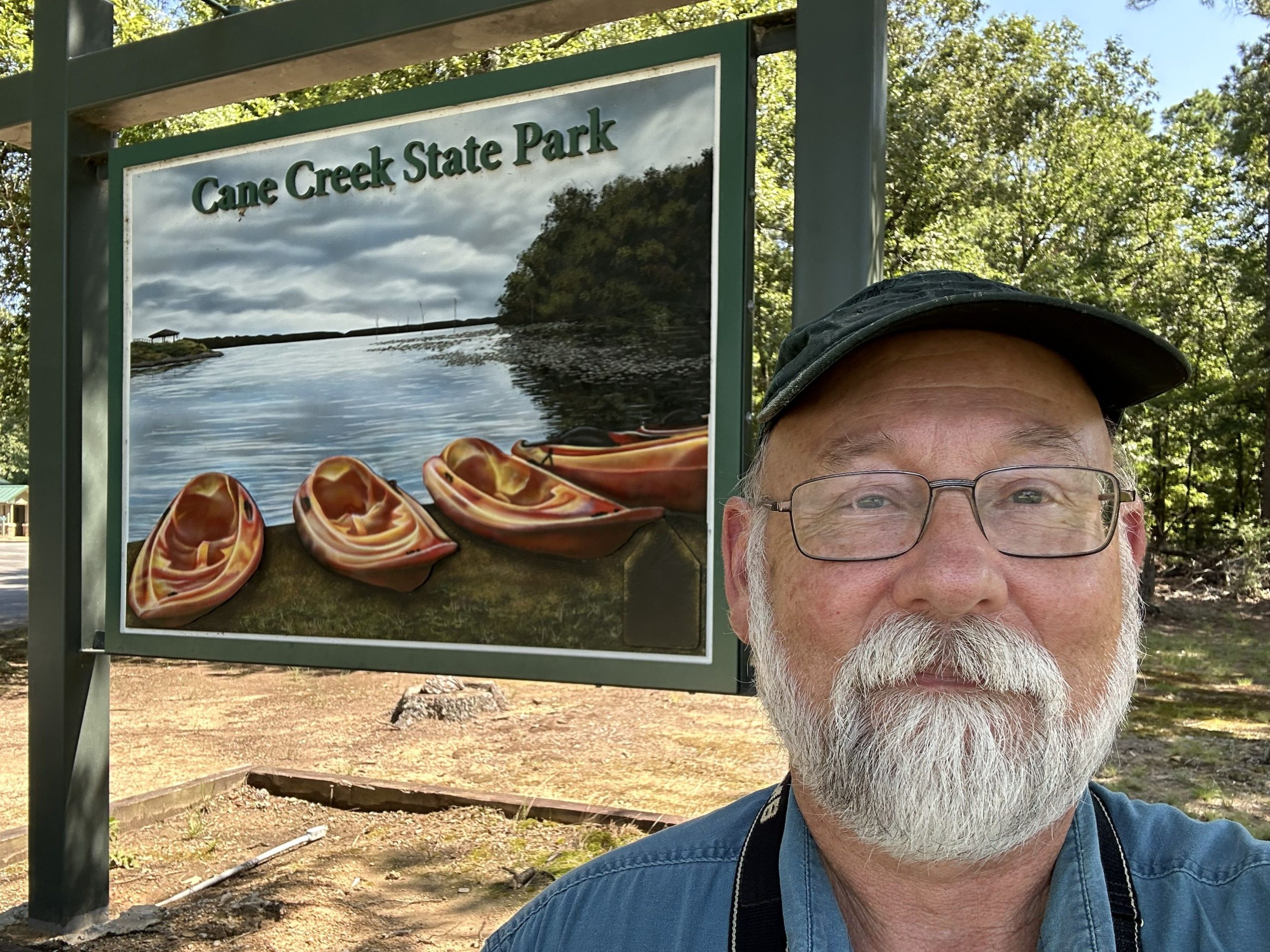
Cane Creek lake was created in 1973 by the Arkansas Game and Fish Commission, using federal funds. It sits on the border between the West Gulf Coastal Plain (primarily timberlands) and the Mississippi Alluvial Plain (the Delta farmland). If you look the map, you can see that all the land to the east is flat and essentially treeless while to the west, there are some small ridges and a lot more trees.
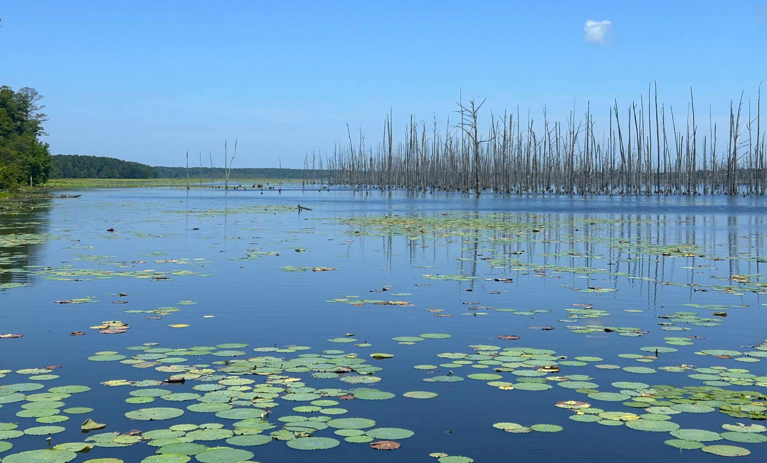
The lake is still filled with standing trees.
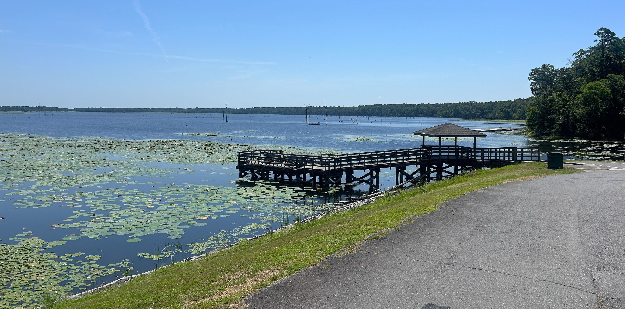
As with so many Arkansas state parks, it offers a boat ramp, a camp ground, and a picnic area. There are also some trails, including a 15-mile one that circles the lake. Since it was a July afternoon with temperatures in the low 90’s, I passed on that one. But I wanted to do something to earn my stamp, so I decided to walk down the Delta View Trail until I decided to turn around. That was about 3/4 of a mile because the trail was getting narrower with a lot of grass and bushes overhanging it, and I figured I’d had my quota of chicks and tiggers ticks and chiggers for the year.
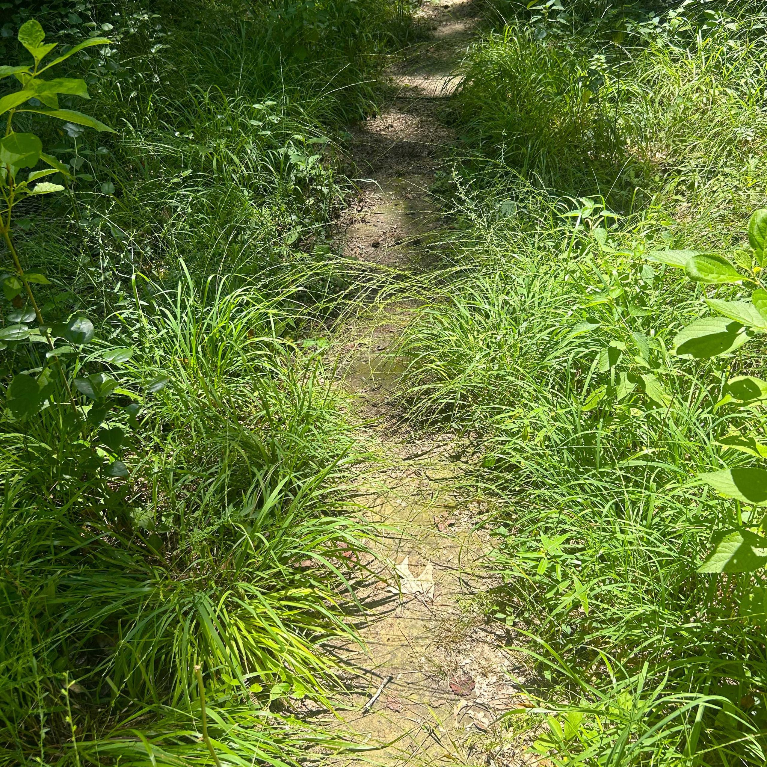
They were pretty woods though.
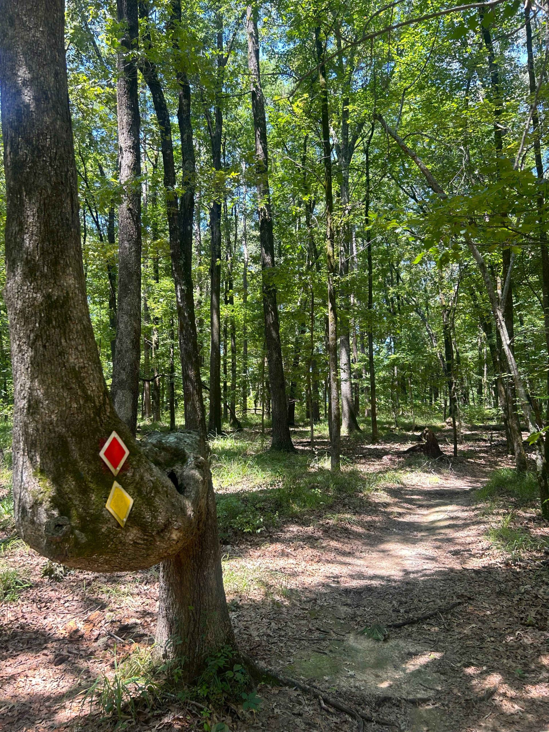
Unlike some other parks, I wouldn’t mind returning to this one when the weather was cooler and the birds were out and about.
Fun fact to know and tell. Cane Creek Lake spreads alongside Bayou Bartholomew, the longest bayou in the world. It extends for 364 winding miles from north of Pine Bluff down into Louisiana. (A bayou is defined as a slow-moving body of water usually found in flat, low-lying areas.) I crossed it on the bridge just before I got to the park.