Day Seven – Bismarck to Regent

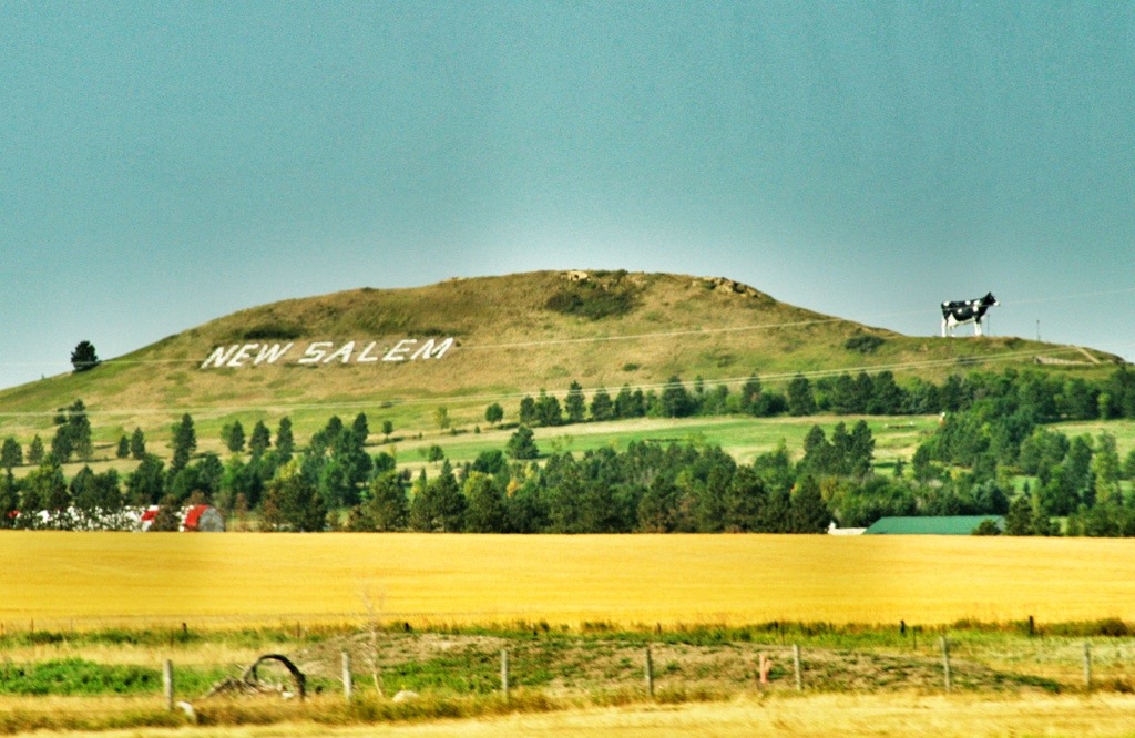
We spent Thursday night in Bismarck with a retired couple. On Friday we headed west, past New Salem, home of Salem Sue, the world’s largest Holstein cow.

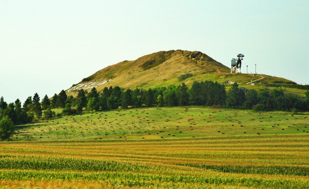
Here’s Sue from several miles away. See the tallest hill in the center distance of this shot? The white line is the name “New Salem.” Sue can be seen as a spot on the right slope.

20130909-211540.jpg

We could have stopped, but I felt we could get the gist of things from the highway.
20130909-211727.jpg

20130909-211711.jpg

Our next destination was Regent. Local resident, Gary Greff, was concerned that his town might disappear. (At the last count, there were 160 residents.) His solution was to build a series of massive sculptures along the road leading from I-94 to the town.

I’m not convinced the effort is doing a great deal for the town, but it did get us there. We bought a couple cans of pop and a refrigerator magnet to help the local economy. I picked up a brochure on the Enchanted Highway — it lists “serene atmosphere” as one of its tourist attractions.

20130909-211739.jpg

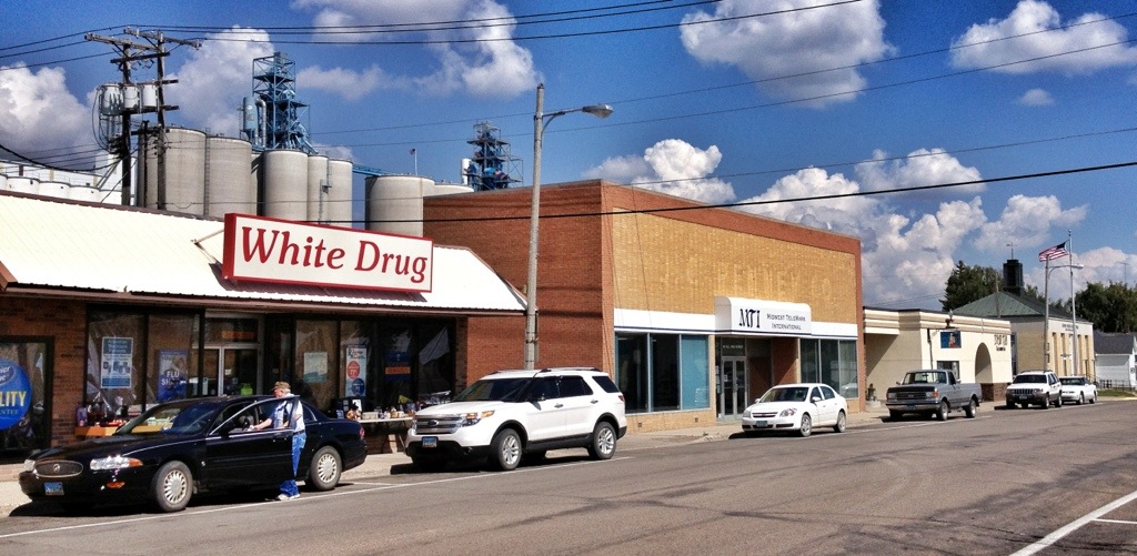
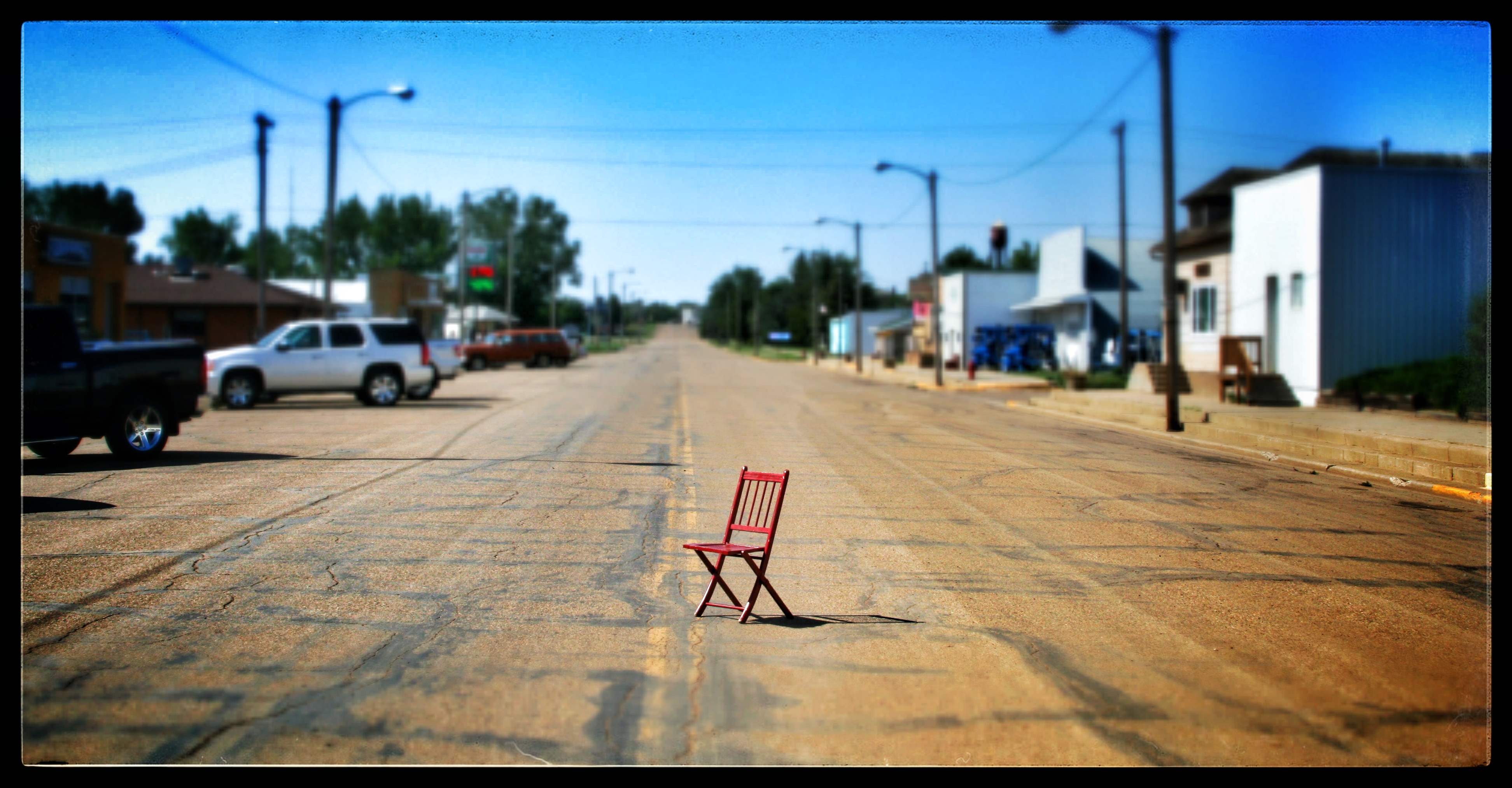
Another picture of downtown Regent during the lunchtime rush.
iipad-dump-419

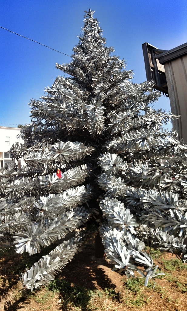
This metal tree is next to the gift shop.
20130909-211746.jpg

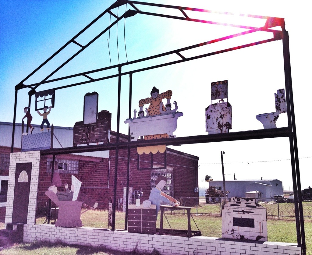
This structure sits, without explanation or access, in an empty lot next to the gift shop.
20130909-211802.jpg

Posted in North Dakota | Comments Off on Day Seven – Bismarck to Regent

Day Six – Knife River Indian Villages National Historic Site

The Hidatsa and Mandan Indians lived along the Knife River just before its conjunction with the Missouri from about 1600 to 1845. Their presence in the area is the reason Lewis and Clark built Fort Mandan in this area.

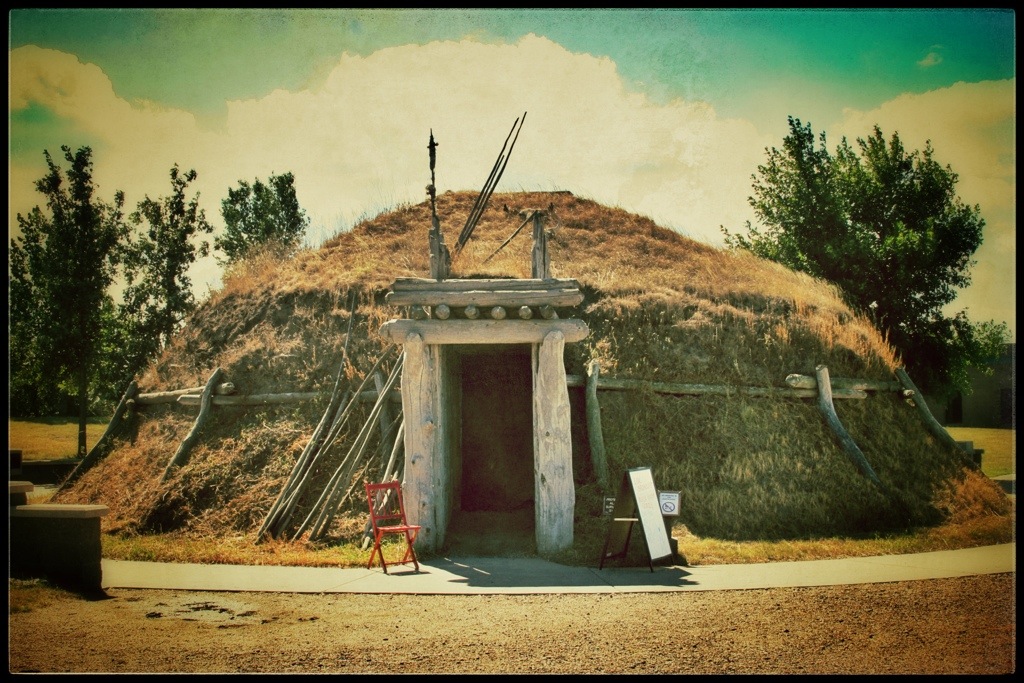
We didn’t stay at the park long — just long enough to watch a video, poke our heads into the reconstructed earthlodge and walk out to the first village site.

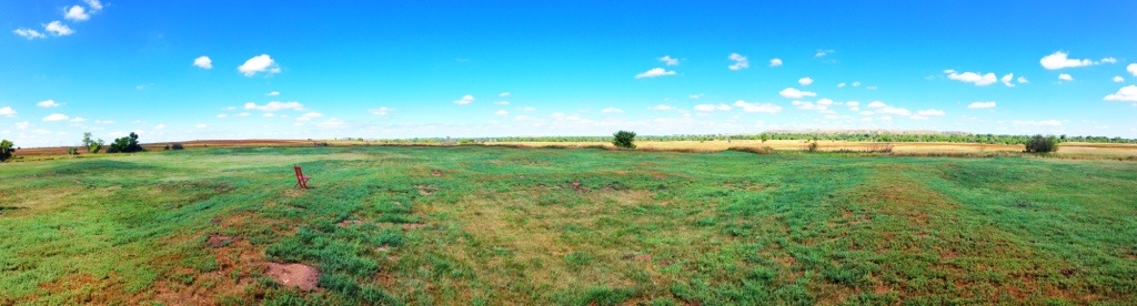
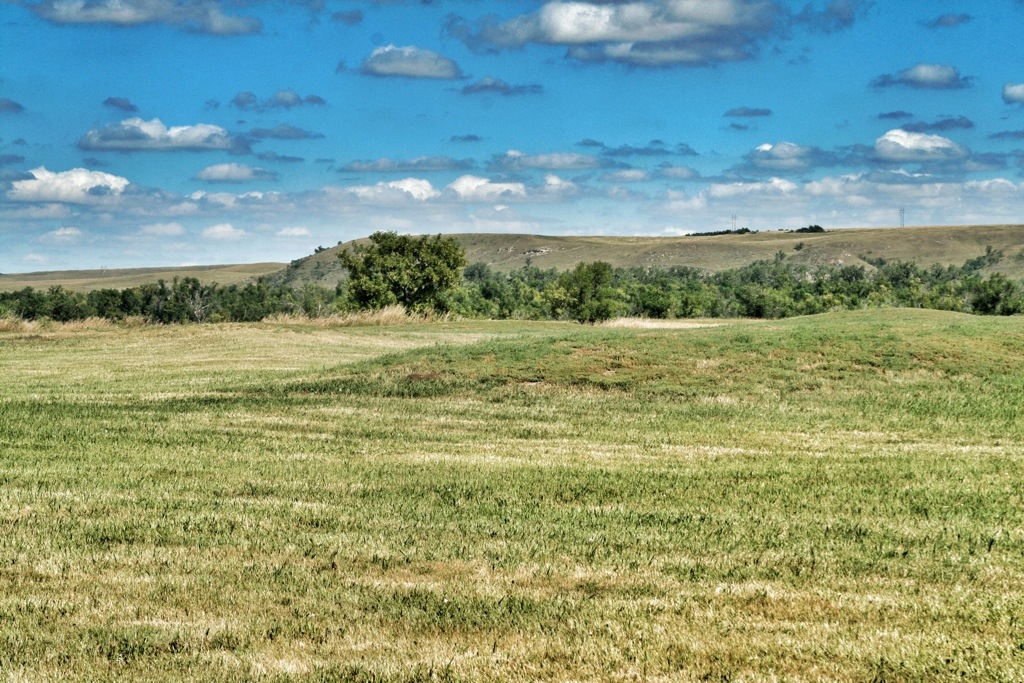
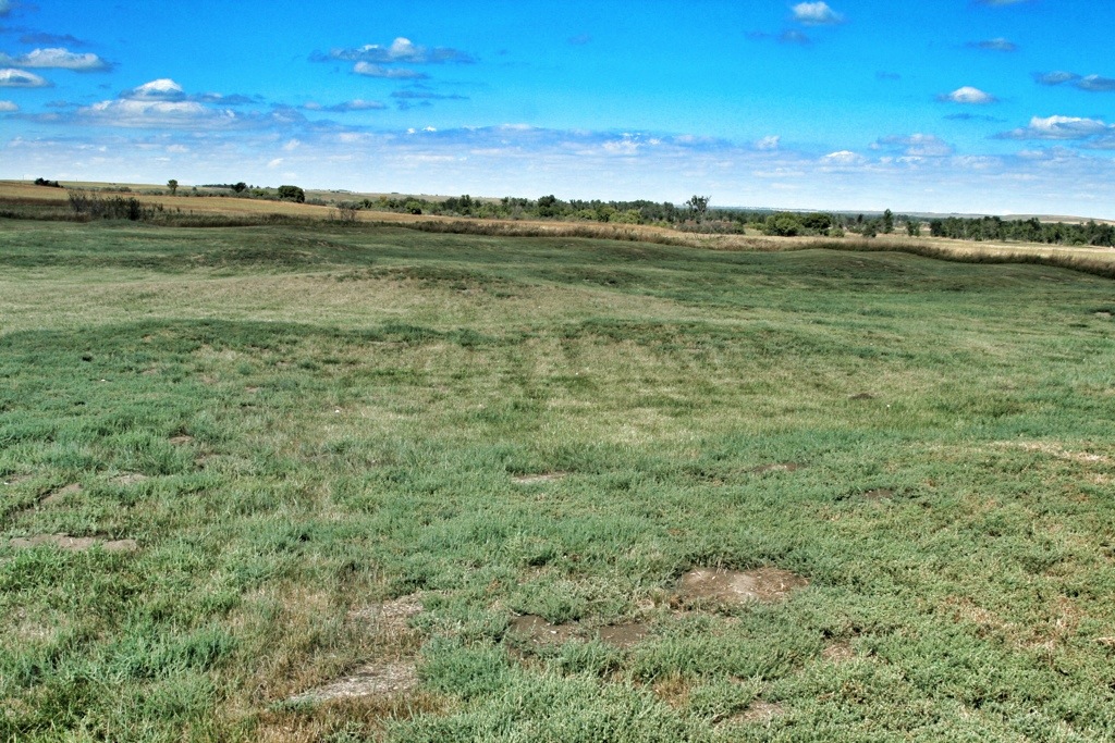
And there wasn’t much to see  — just a field dotted with round depressions. But I thought it was fascinating. I could imagine a village with people going about their daily lives — working, playing, relaxing.

20130910-210755.jpg

20130909-204038.jpg

20130909-204044.jpg

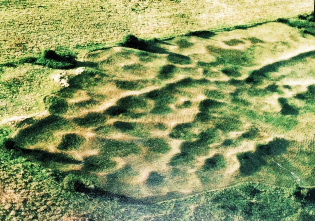
Here’s an aerial view of one of the villages.

20130909-204049.jpg

A park ranger was doing a live video chat with a classroom full of elementary students in the earthlodge. We sneaked in the door and looked around, but we couldn’t wander about inside.

20130909-204129.jpg

Posted in North Dakota | Comments Off on Day Six – Knife River Indian Villages National Historic Site

Day Six – Fort Mandan

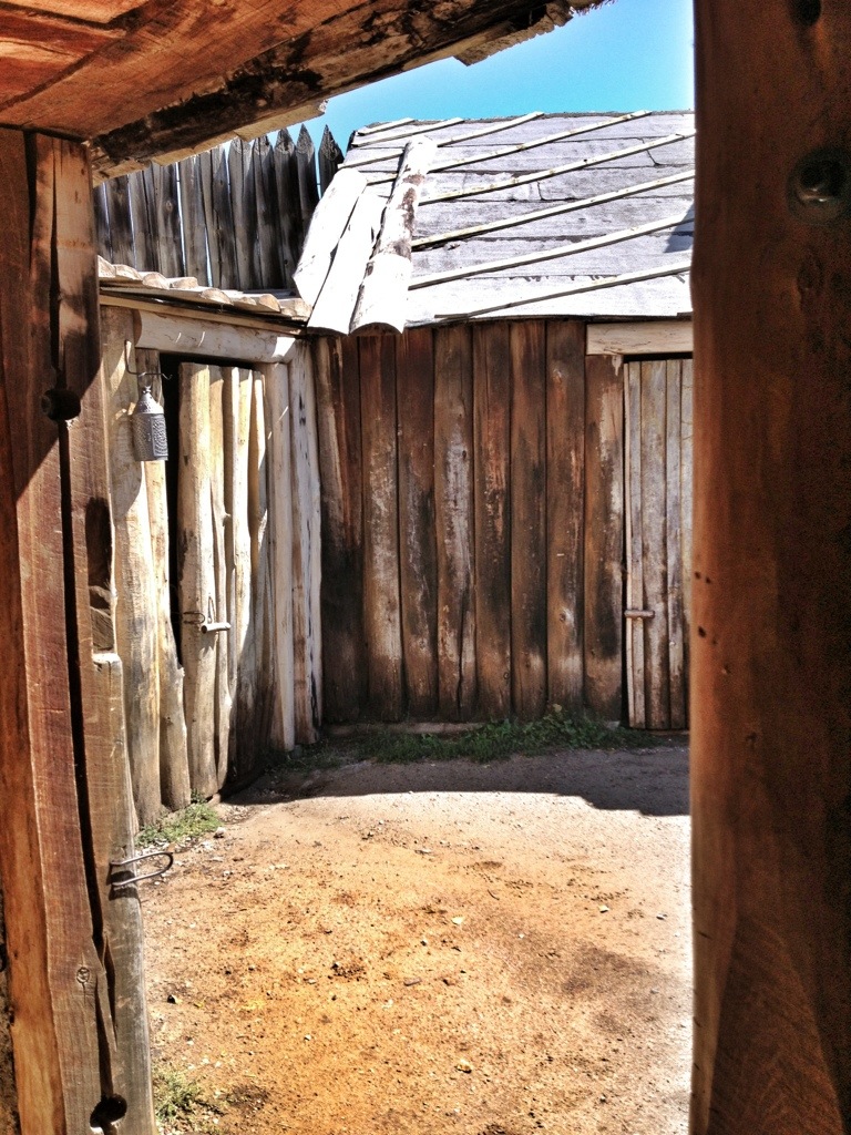
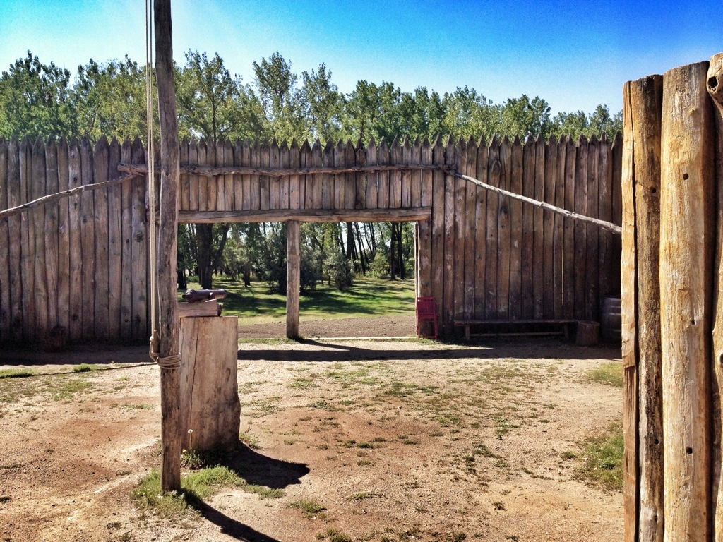
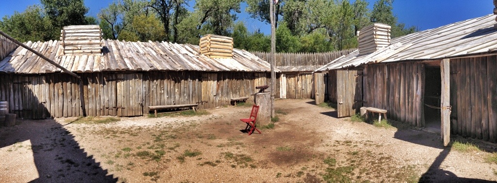
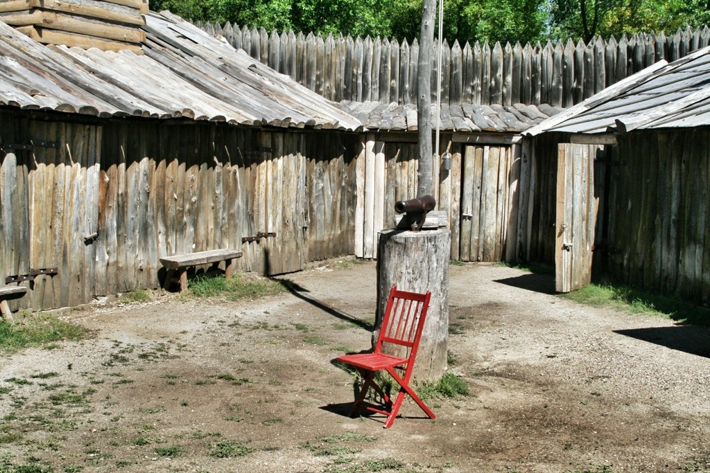
Fort Mandan, on the Missouri River in central North Dakota, represents the fort Lewis and Clark and their men built for the first winter of their journey. It’s located about 10 miles from the original fort site, and its appearance is based on some general comments in the journals. None of the items in the fort are original to the journey. It’s really just a place to learn about and get a sense of what really happened. But it’s good for that.

We were on a tight schedule, so we dashed through the visitor center and headed for the fort. Our tour began with just the four of us and one tour guide. Along the way we picked up four more people and switched guides.

20130909-204321.jpg

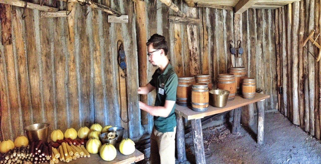
Here’s guide one in the store room. He had hands. It’s just that he moved while I was taking this pan.

20130909-203659.jpg

20130909-203631.jpg

20130909-203646.jpg

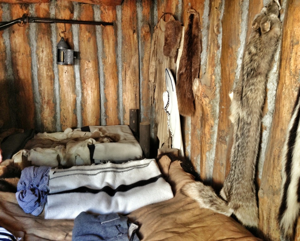
This is an interpretation of the room in which Toussaint Charboneau stayed with Sakakawea and his other wife, Otter Woman.

20130909-203711.jpg

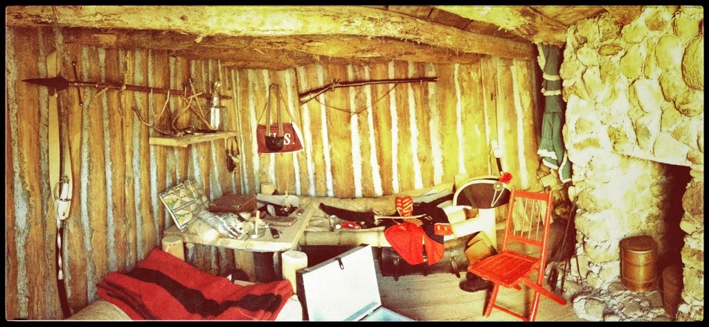
And this is Lewis and Clark’s room.

20130909-204619.jpg

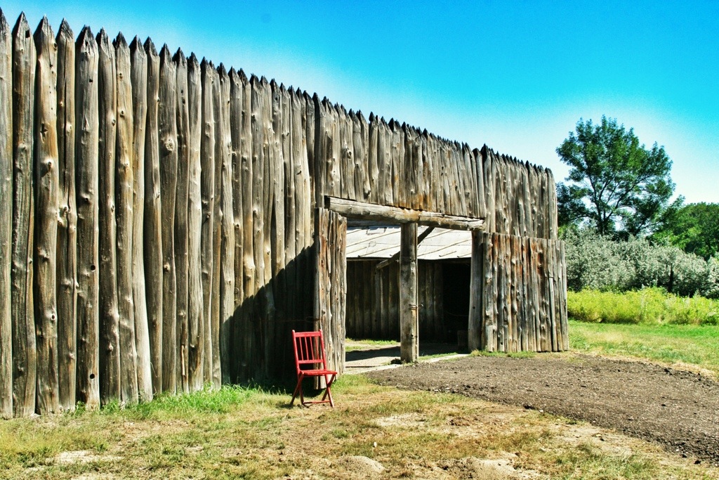
The fort looks square in some of these photos, but it was basically triangular in shape with the two rows of barracks forming two sides and the gate in the middle of the third wall.

20130909-203723.jpg

Our second guide.

20130909-203736.jpg

20130909-203748.jpg

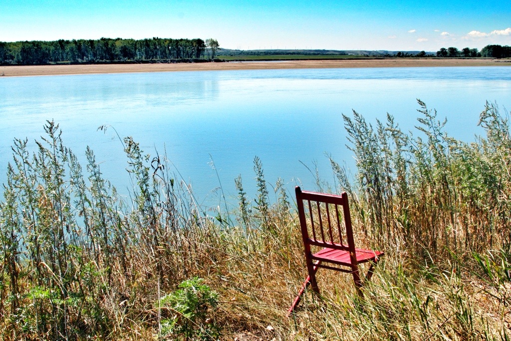
On the banks of the Missouri River near the fort.

i20130920-102900

Posted in North Dakota | Comments Off on Day Six – Fort Mandan

Day Five — Rugby and Cando

There isn’t much to see between Minot and Cando. We did our best, which consisted of a thorough tour of the town of Rugby. It bills itself as the “Geographical Center of North America.” (Not to be confused with Belle Fourche, South Dakota, which is the Geographical Center of the United States.) As with every other site of this sort I’ve been to, the actual point being celebrated is several miles away.

20130907-212342.jpg

20130907-212400.jpg

This one is better because it’s drive-through.

20130907-212405.jpg

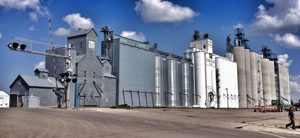
We parked in downtown Rugby and wandered the streets. The town has the largest grain elevator I’ve ever seen.

20130908-125759.jpg

And the remains of what has to be the smallest J.C. Penny’s on the planet.

20130908-125806.jpg

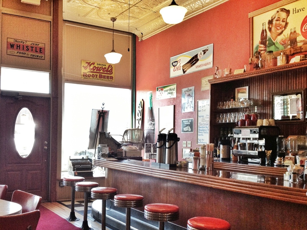
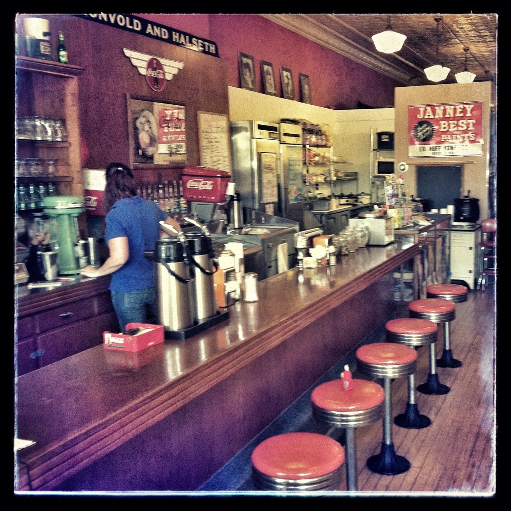
We found a diner downtown that doubled as an antique store.

20130908-125831.jpg

20130908-125820.jpg20130908-125812.jpg

20130908-125826.jpg

Cando is only 20 miles from the Canadian border, but it sure doesn’t feel like it to me. Not when it’s 95 degrees in August, anyway. The flat farmland looks like central Illinois and doesn’t at all conform to my idea of “north.”

The town got its name Cando “to show you that we can do it,” according to its web site. It’s one of at least two towns (the other is Gackle) to bill itself as the Duck Capital of North Dakota.

20130909-192042.jpg

Posted in North Dakota | Comments Off on Day Five — Rugby and Cando

Day Five — Exploring Minot

A lot of Scandinavians immigrated to North Dakota. To celebrate this fact, Minot created the eclectic Scandinavian Heritage Park. We stopped for about half an hour on Wednesday morning and saw what there was to see.

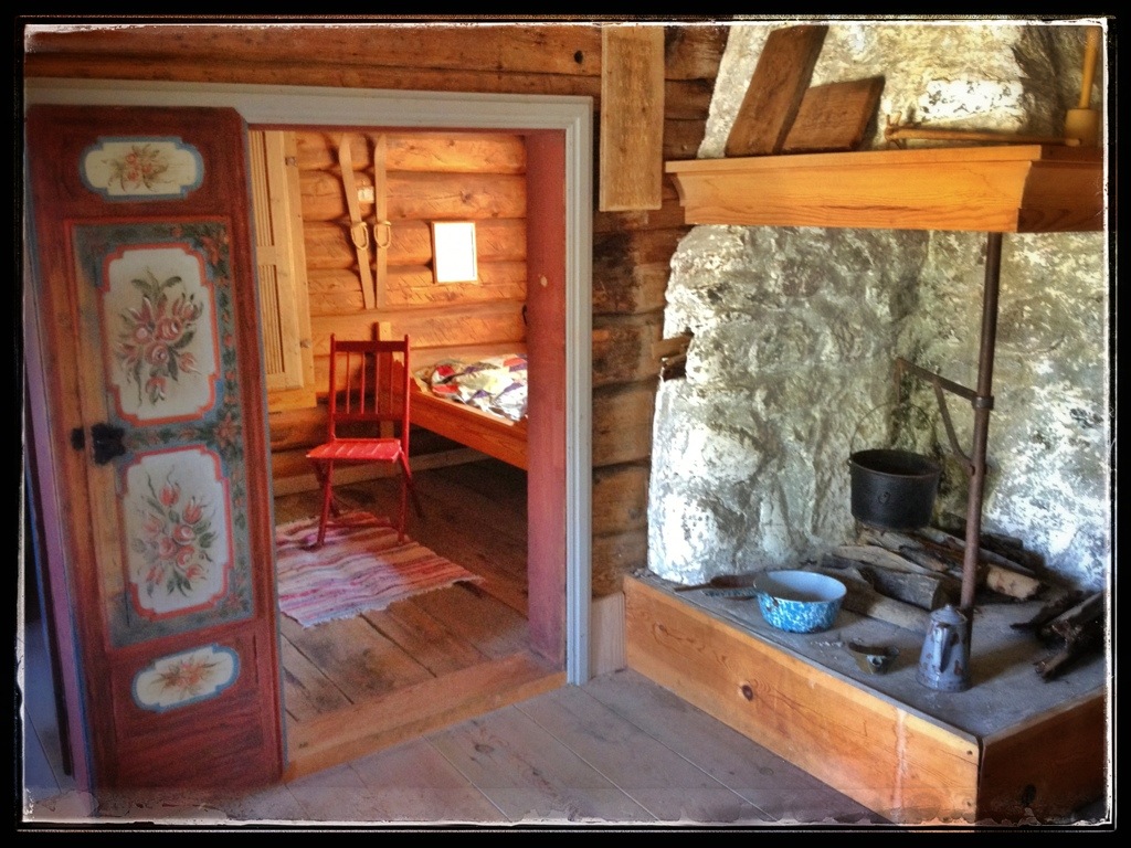
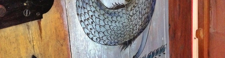
The Sigdal House, built in 1771, was brought over from Norway. It is billed as the oldest house in North Dakota, but since it’s only been in the state since 1991, this seems a bit of a reach. I somehow neglected to take a photo of the outside. Imagine any log cabin you’ve ever seen and you’ll get the idea. The painted decorations on the inside were impressive.

20130907-212033.jpg

20130907-212115.jpg

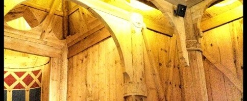
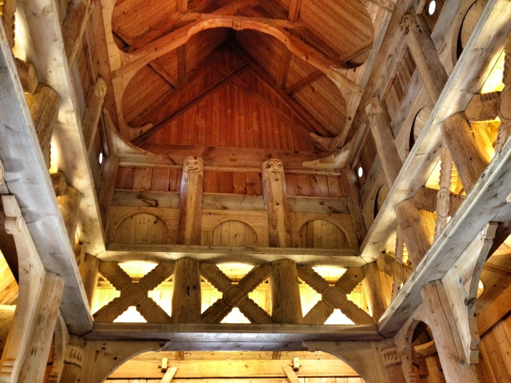
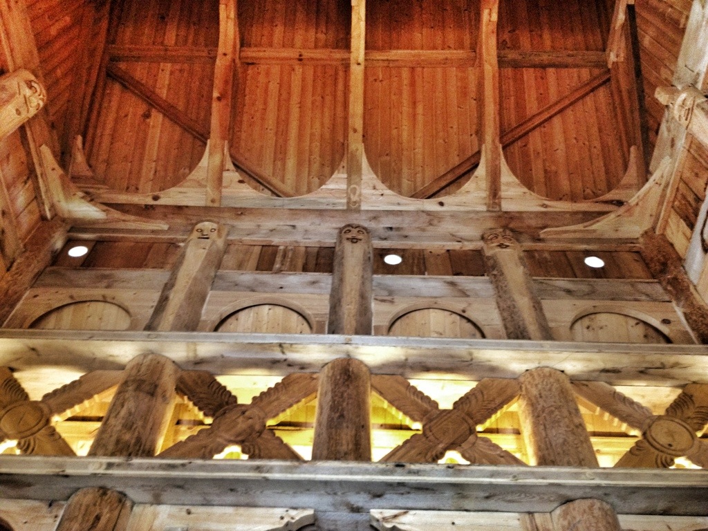
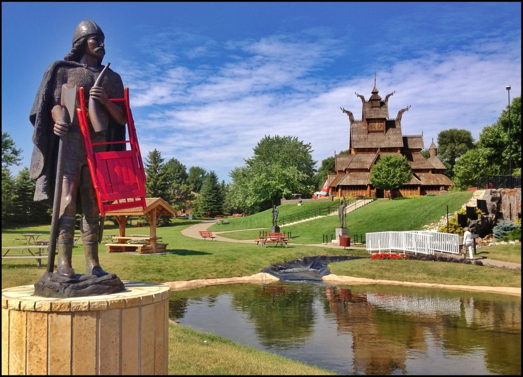
This is a reproduction of a stave church in Oslo, Norway. We learned that the “a” in “stave” is properly pronounced like the “o” in bottle.

20130907-212051.jpg

20130907-212132.jpg20130907-212121.jpg

Grinning faces represent the 12 apostles. I was unable to discover which ones had their tongues sticking out. The chairs, I presume, were not authentic.

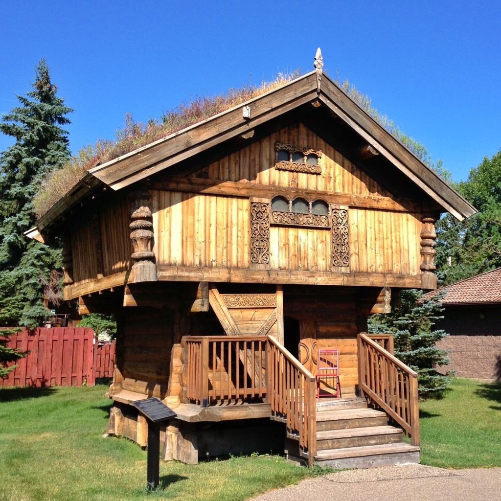
The little building with dead grass on the roof is a storehouse, called a stabbut. It was built  in Norway as a reproduction of a famous one and shipped to Minot. It was tiny inside.

20130909-183902.jpg

There was a waterfall because, according to the brochure, “water plays a large part in the lives of Scandinavians.” There was also a sauna, a windmill, a floating stone globe, a statue of Sondre Norheim, the “Father of Modern Skiiing,” a statue of Casper Oimoen (“credited with initiating the forward-lean to ski jumping in America”), and a plaza with a map of Scandinavia.

Oh, and this statue of Leif Eiriksson, “the first man of European stock to step ashore in North America in about the year 1000.”

20130907-212106.jpg

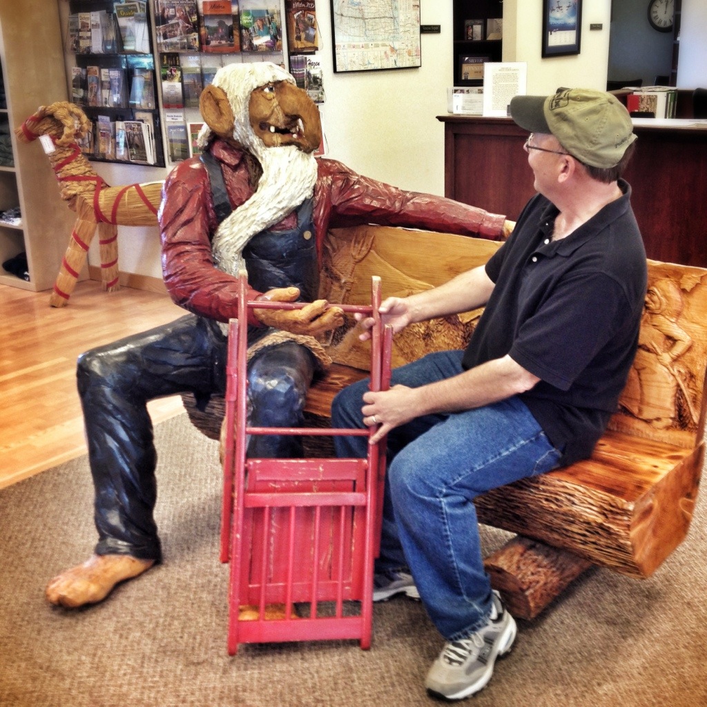
We wandered around the gift shop, where I asked a troll if there were red chairs in Denmark.

20130909-183911.jpg

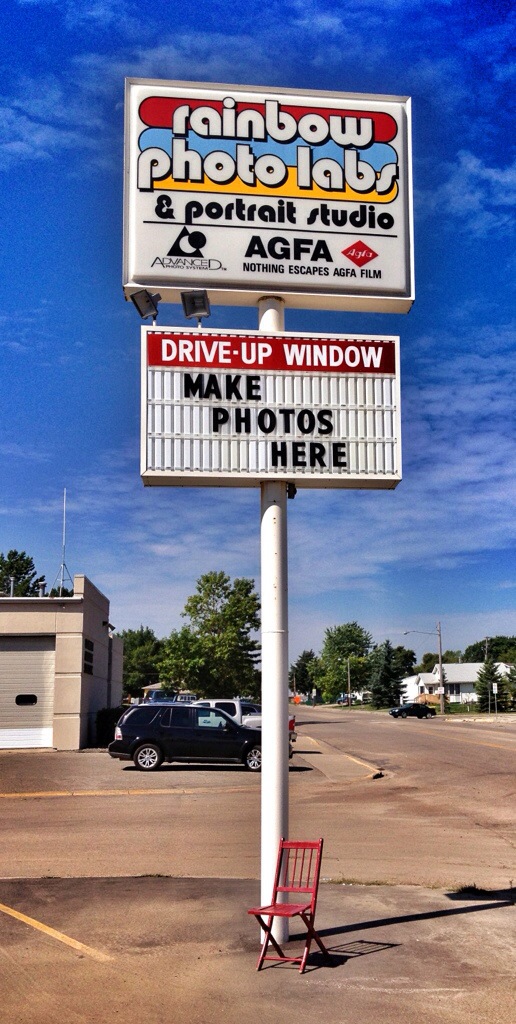
I spotted this sign across the road from the park and did what it says.

i20130920-094908

Posted in North Dakota | Comments Off on Day Five — Exploring Minot