
This is shelter on Red Bluff Drive in Petit Jean State Park was built by the Civilian Conservation Corps.

Turtle Rocks on Rock House Cave Trail.

Rock House Cave

Angela in Rock House Cave

This is shelter on Red Bluff Drive in Petit Jean State Park was built by the Civilian Conservation Corps.
Turtle Rocks on Rock House Cave Trail.
Rock House Cave
Angela in Rock House Cave
I’d been telling my companions in adventure about the road to the top of Mount Nebo. It had originally been built for carriages, and when cars came along, the old track was paved as it was. The road is narrow, steep and twisted. It sounds more exciting than it is. And once you’re up on Mount Nebo, in Mount Nebo State Park, there’s nothing to do but stand on the top and look back down at where you’ve just been.

Looking northwest from Sunset Point with Lake Dardanelle and Arkansas Nuclear One in the right distance.

We camped, or at least we planned to camp, in Petit Jean State Park for six nights. My brother-and-sister-in-law were in their camper on the next site. My in-laws rented a house about half a mile away in a place called Tanyard Springs. Our plan was to eat at the house on the first night and around the campfire the rest of the time. Plans don’t always work out. It was a good thing we had the house to resort to.
It rained all Monday morning, but it cleared up in time for us to set up our tents. It was chillier than it had been in recent days, but not bad. We headed to the house for a lasagna supper. The house was right on the edge of the ridge, not more than 15 feet from the cliff overlooking Ada Valley, and a huge picture window faced the view. It was the one nice feature in the house, which was otherwise odd, with strange narrow hallways and hundreds of cupboards.

We ate supper around the campfire on Tuesday night as planned, but that was it. We headed back to the house on Wednesday night for soup (I forget why). We also started taking our showers at the house on Wednesday because the bathhouse in the camp ground was disgusting. We played Hand and Foot after supper.
By suppertime on Thursday, it was snowing. Yep. Snowing. We spent the evening at the house again, then spent the night in the tent while outside it kept switching from rain to sleet to snow. Friday was overcast and damp and cold, and Saturday was supposed to be no better. We decided to move into the house all the way. I drove over to the campsite and took down everything in about 15 minutes by myself, just piling stuff into the car wherever I could make it fit. Back at the house, I spread the tent out in the sun room with the heater on full blast and dried it off in a couple hours. On Saturday morning, it was still overcast with rain off-and-on. We gave up.
The photo at the top of the post shows the view on Monday night. This next photo shows the view from noon Thursday until we left on Saturday. The fog never lifted.


For years, my family has been playing a game called Hand and Foot. I’m not a fan. But on a cold, damp night on an Arkansas mountaintop, there isn’t a whole lot else to do. There is often several minutes between turns, so I began goofing around.
One of the decorations in the rental house was this heavy brass lobster-like creature that was simply odd. Somehow I conjured up this photo of the lobster playing Hand and Foot in the Red Chair.

The view from the cliffs outside the house.

Fort Defiance Park used to be an Illinois State Park, but Illinois didn’t want it and allowed it to become a dump. To anyone familiar with Illinois, this shouldn’t be a surprise. The same thing is happening to much of the state. The small town of Cairo now owns the park, and the residents maintain it as well as can be expected for a site that gets flooded frequently. The park is at the extreme southern tip of Illinois, sandwiched between the Ohio and Mississippi Rivers — the two rivers join at the tip of the park.
When we stopped by for a brief visit, it was raining steadily and the wind was blowing strongly. The rivers were high and it looked like another couple inches would flood the loop road out to the point. The women got out for quick looks and headed back to the warmth of the cars. My friend climbed the tower, an odd-shaped structure perhaps 50 yards from the confluence and took photos as I walked out to the very end of the state with the chair.
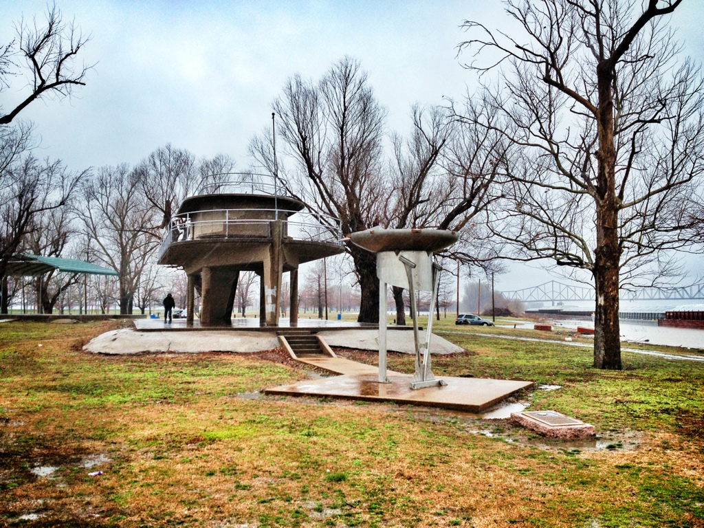
Surrounded by that much water that was so close to covering the land, with that wind and that rain, made me a bit anxious. I could barely see the shore of Kentucky on the left and Missouri on the right across the way. It felt a little bit dangerous. This was no weather for good cameras, so my friend shot a couple photos with his iPhone.
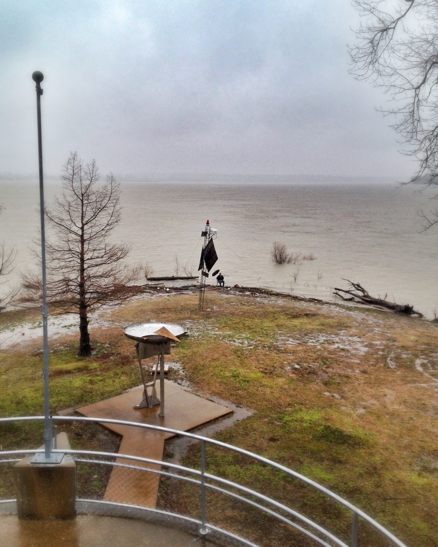
There was a flat area with engraved bricks just under the water by the log you can see in the above photos. I stuck the chair out there, with, as near as I could estimate, one leg in each river (there was no way to know for sure) and took this photo.
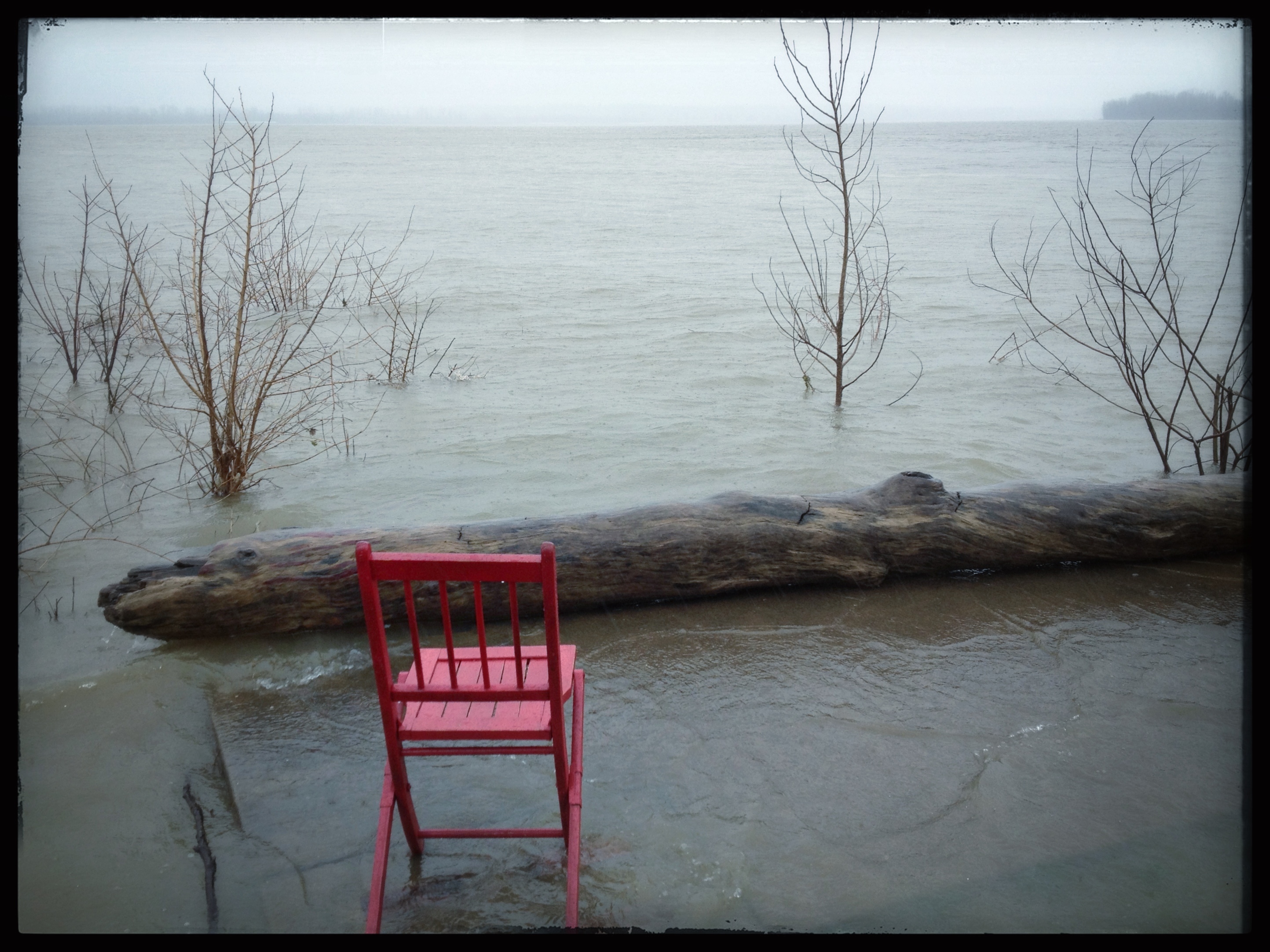
I would have liked to stay longer, but it was just miserable and we were getting hungry.
