Coyote

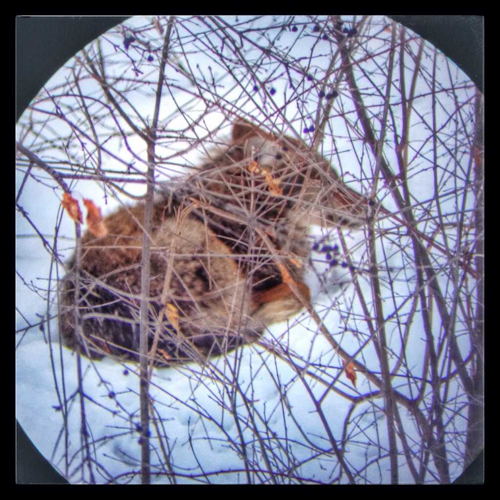
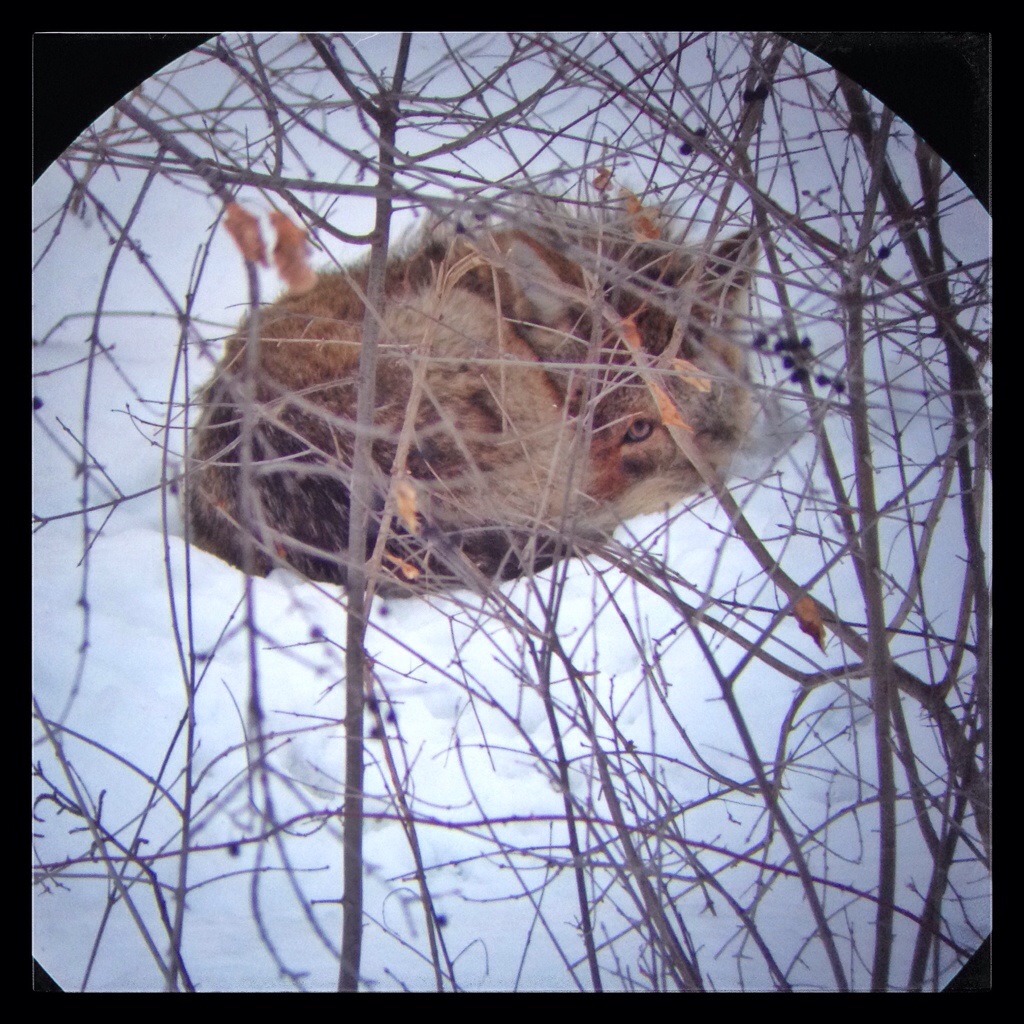
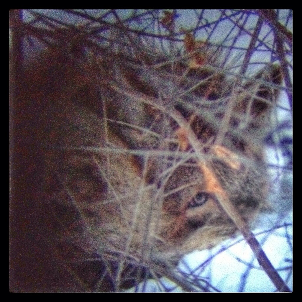
This coyote spent a couple hours on a Wednesday evening relaxing in the trees behind my yard. I raked my leaves into a pile on that spot last fall, and I imagine they were generating some warmth — I saw deer resting there a few times earlier in the winter.

20140409-182749.jpg

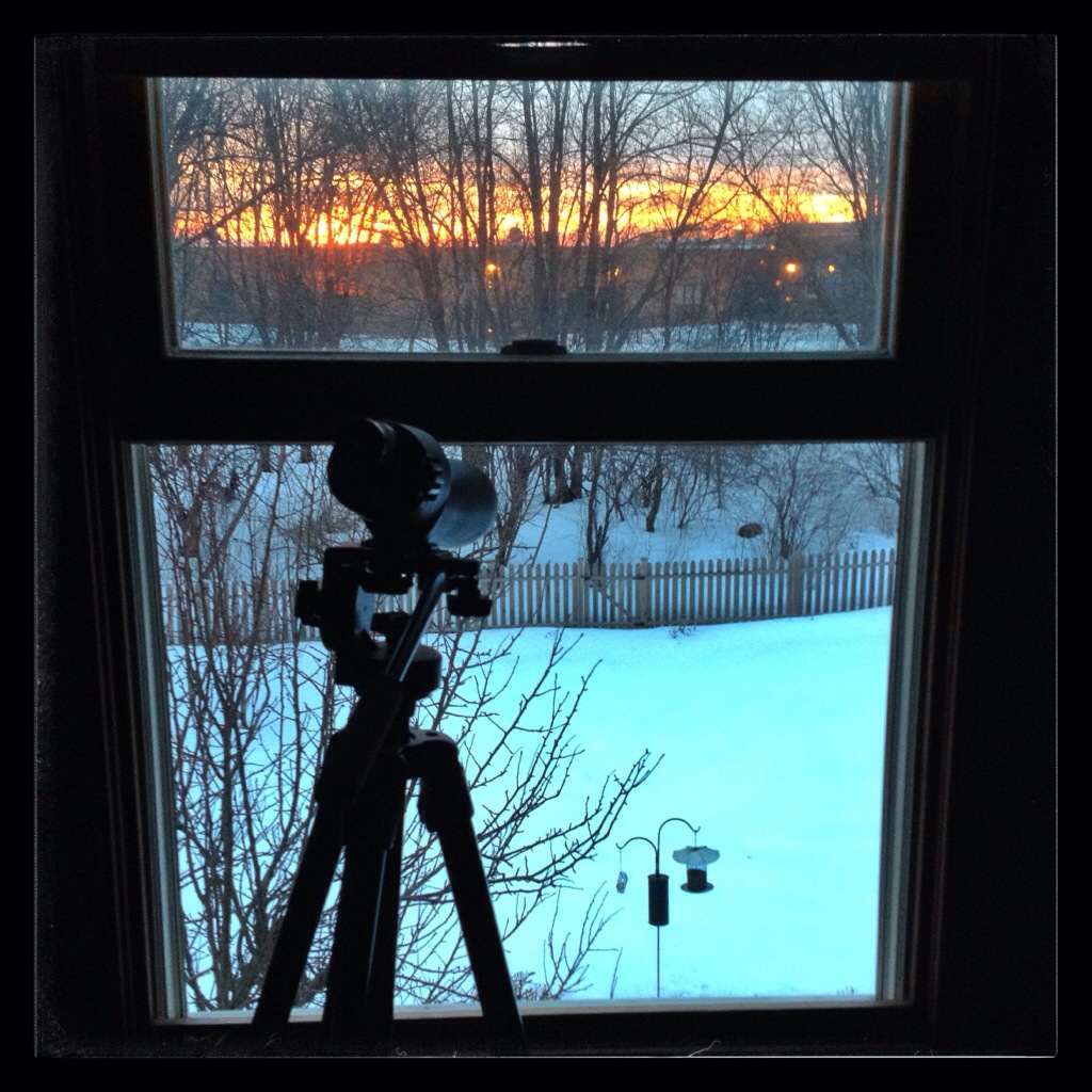
My camera lens wasn’t up to the challenge, so I held my phone up to my spotting scope and got these shots.

20140408-193433.jpg

20140408-193444.jpg

20140408-193505.jpg

Posted in Wildlife | Comments Off on Coyote

Flying Home

My trip home from California consisted of a short flight from Ontario to San Franciso, an hour layover, and then a long flight from San Franciso to Chicago.

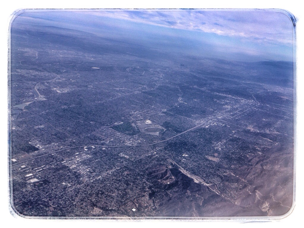
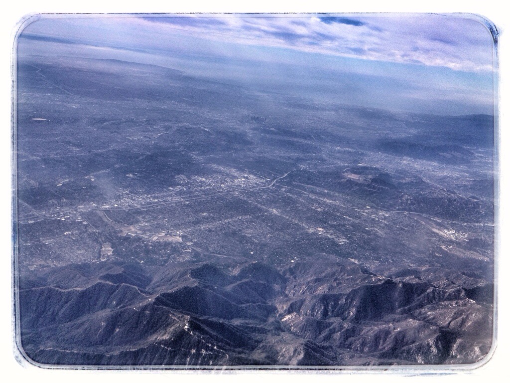
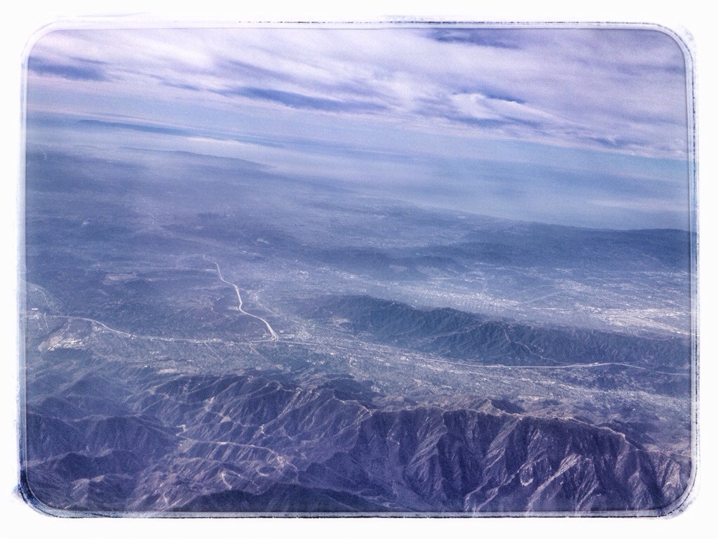
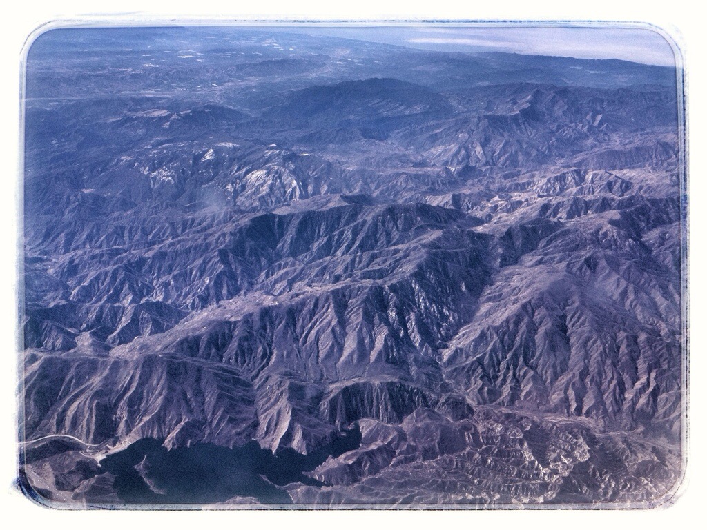
On the first flight, I made sure I was sitting on the left side of the plane so I would be able to see the coast. We traveled at around 10,000 feet. In the following photos, I’ll try to identify any landmarks that will identify the shots. (I realize this probably won’t be interesting to anybody but me, but I enjoyed it because I’ve never been any of these places and this may be the only time I see them.)

Los Angeles sprawl. The black spot just above and to the right of center is downtown L.A. The oval just below center is the Santa Anita racetrack
20140225-202857.jpg

Another shot of L.A. from the northeast. Downtown is just above center.
20140225-203006.jpg

Downtown L.A. is left of center now. The white line pointing toward it is the Glendale Freeway.
20140225-203023.jpg

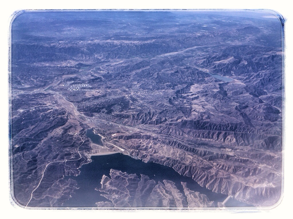
Castaic Lake and Interstate 5

20140225-203037.jpg

Pyramid Lake in the foreground. The low point on the coast in the distance is Oxnard.
20140225-202940.jpg

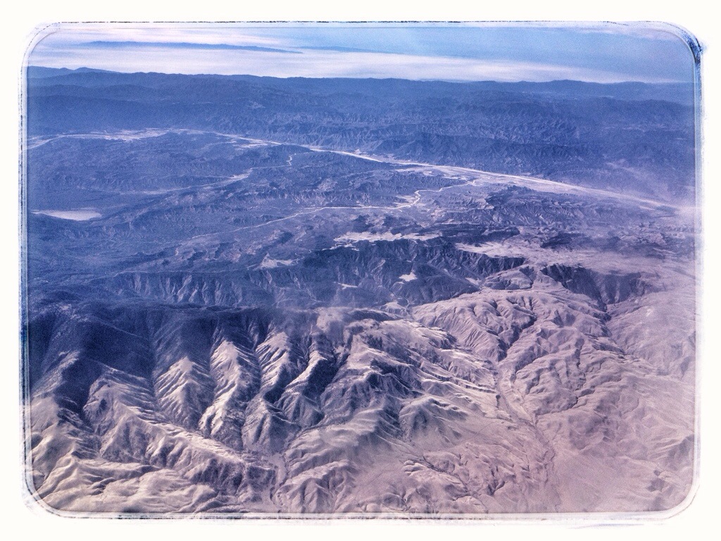
I took this picture because it was where the green(ish) of the mountains transitioned into desert. The green is Los Padres National Forest. The gash across the photo is the Cuyama River. The coast in the distance is somewhere around Santa Barbara.
20140225-202950.jpg

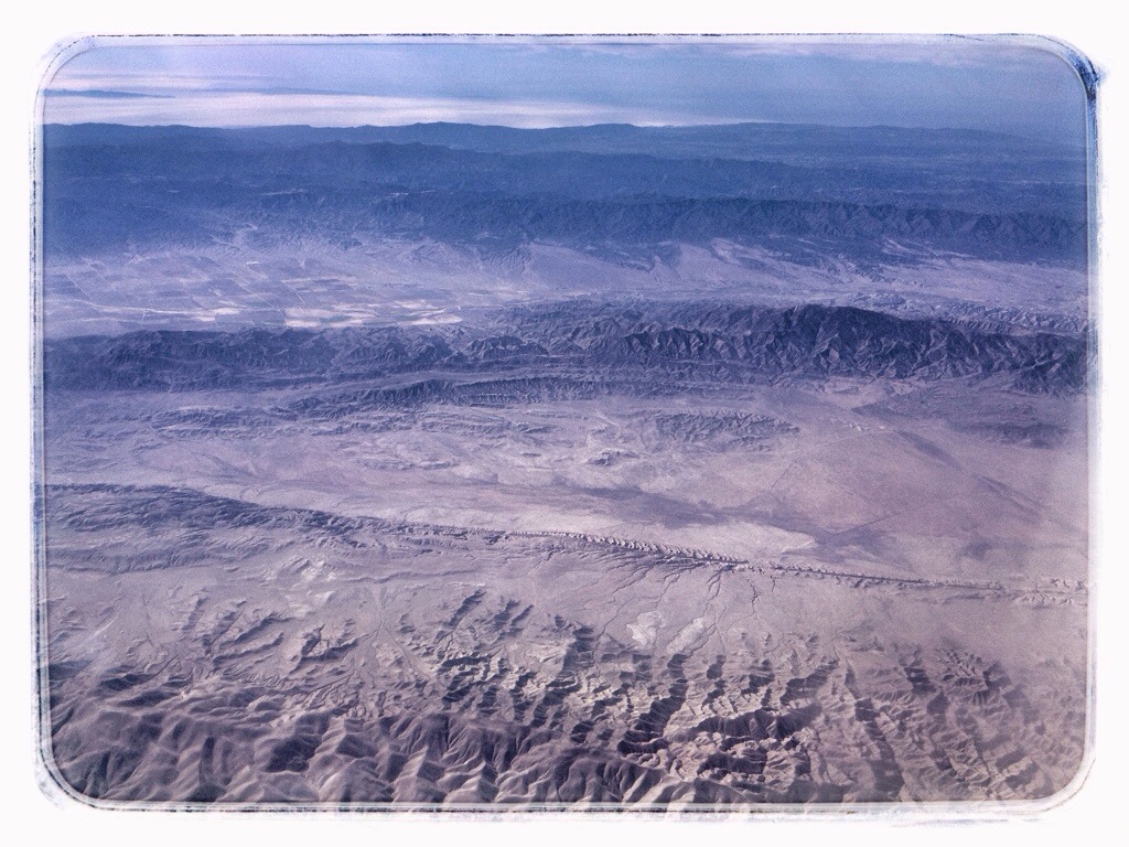
The Carrizo Plain west of Maricopa. I’m pretty sure the crack down the center is the San Andreas Fault.
20140225-202905.jpg

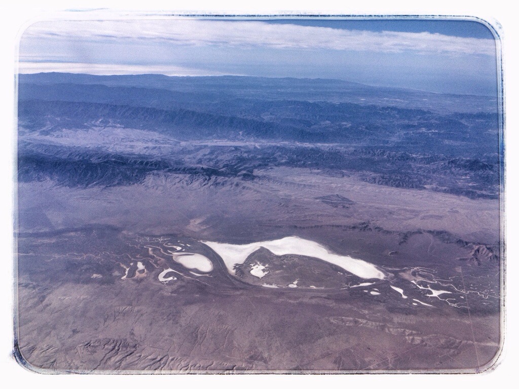
Soda Lake in the Carrizo Plain.

20140225-202959.jpg

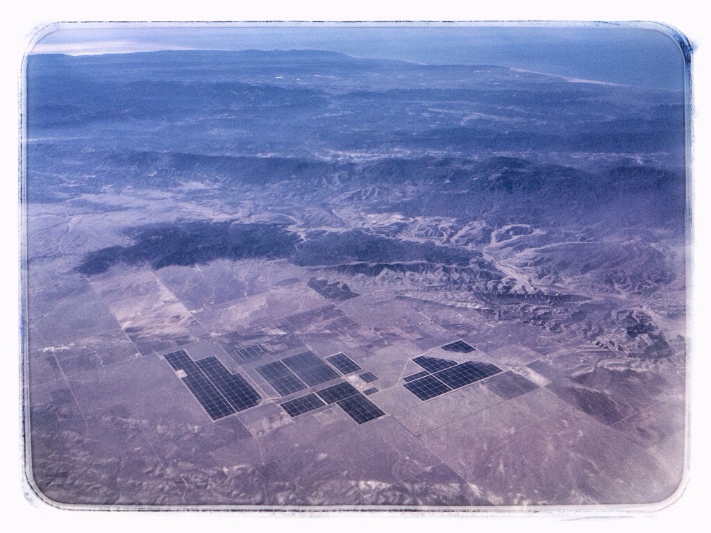
A solar farm in the Carrizo Plain northwest of Soda Lake. It’s a new installation — iMaps doesn’t show it and Google Earth only shows part of it. Santa Maria is somewhere on the flats between the Plain and coast.
20140225-202928.jpg

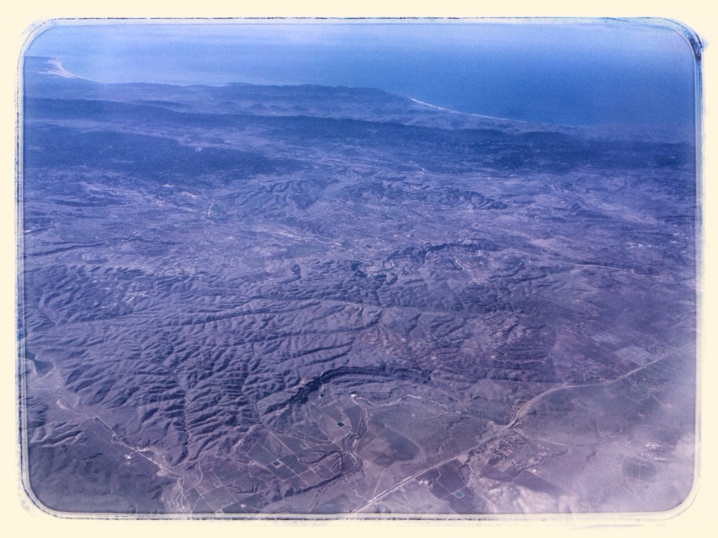
The patch of “beach” along the coast in the upper left is Oceano Dunes State Vehicular Recreation Area. The line of white surf on the right is Morro Bay. The highway in the foreground is Route 46.
20140225-202730.jpg

Morro Bay is still visible in the upper left. The lake on the right is the San Antonio Reservoir. The one closer to the center is Nacimiento Lake. Somewhere along the coast directly beyond them is San Simeon.
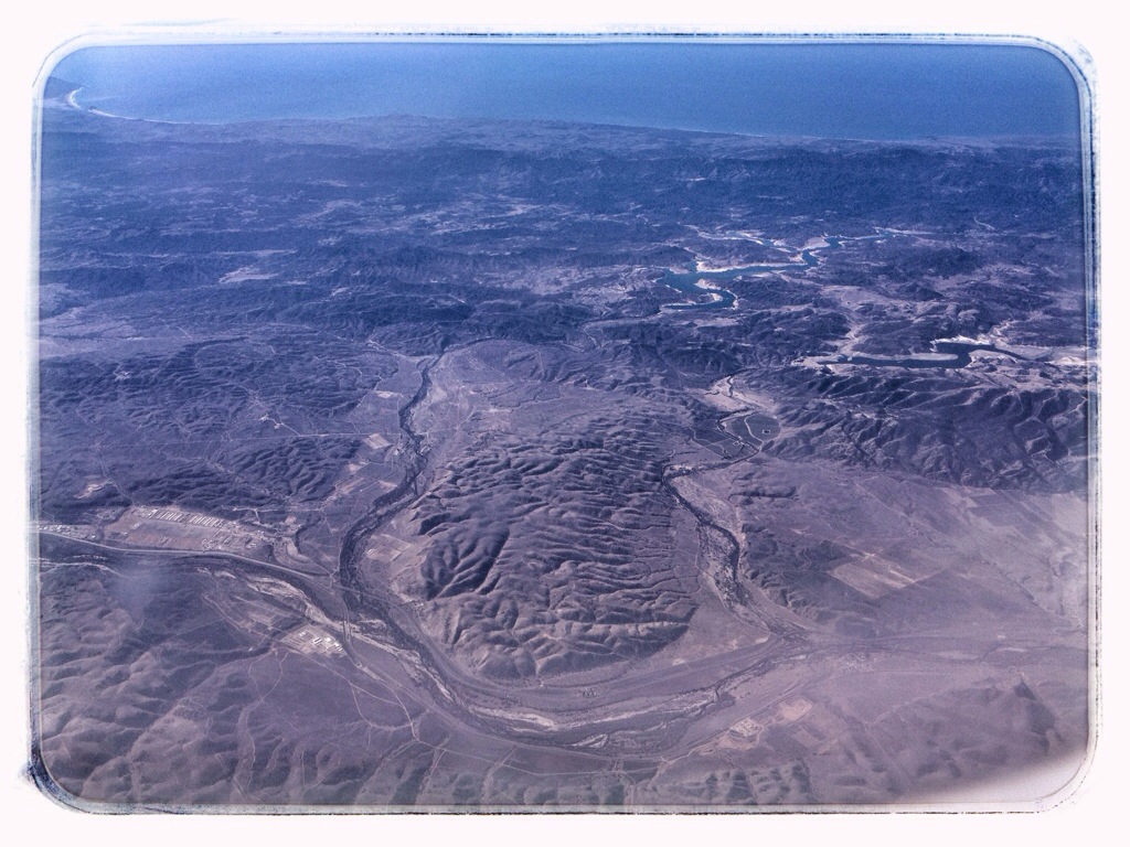
20140225-202806.jpg

I can’t exactly place these next two, but we were generally flying northwest along the line of Route 101, somewhere in the vicinity of Soledad and Gonzales.
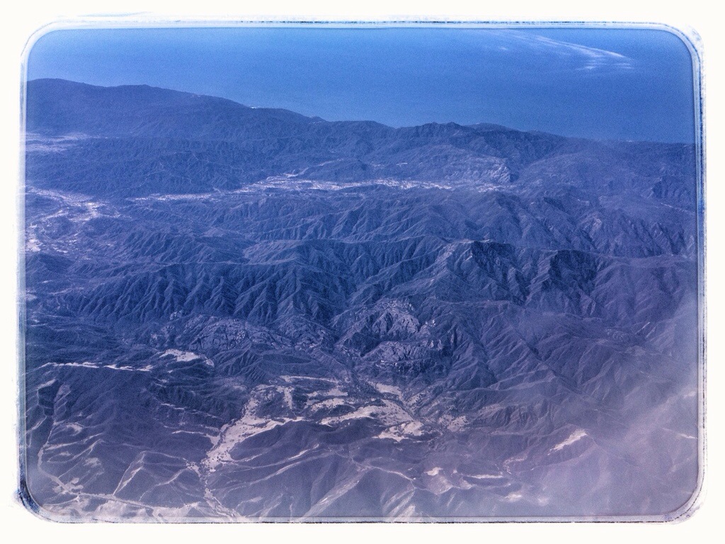
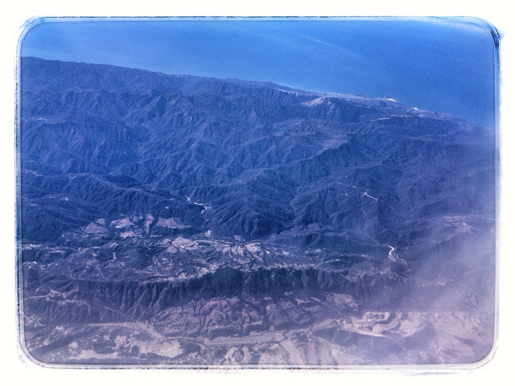
20140225-202750.jpg

20140225-202741.jpg

The Monterey Peninsula. Pebble Beach Golf Course is vaguely discernible along the cove on the far side. The communities in the foreground are Pacific Grove and Monterey.
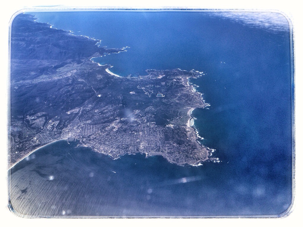
20140225-202839.jpg

I wish I could have switched sides of the plane at this point, but it was full. We flew out over Monterey Bay, then crossed over land again at Santa Cruz, visible at the bottom of this shot.
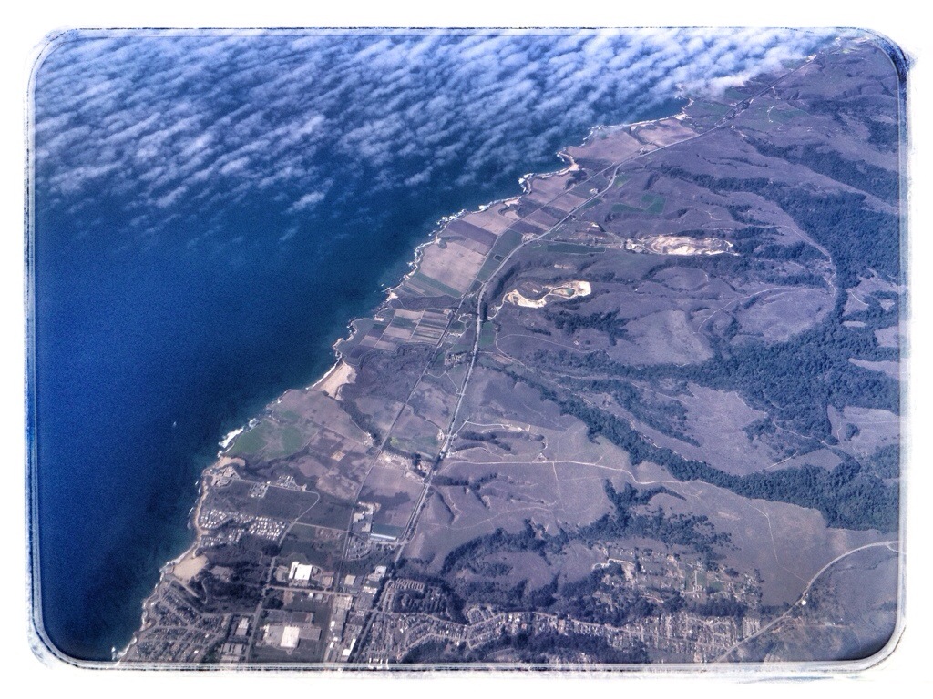
20140225-202849.jpg

Somewhere over Big Basin Redwoods State Park (I think).
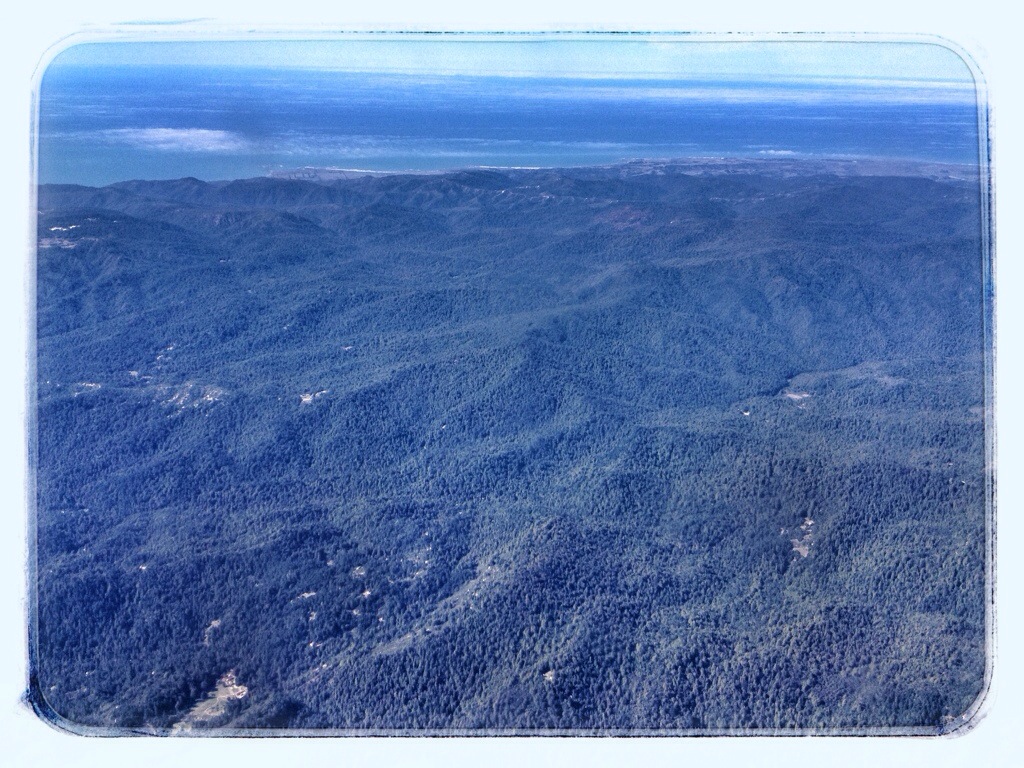
20140225-202818.jpg

Westpoint Slough in the southern reaches of San Francisco Bay near Redwood City.
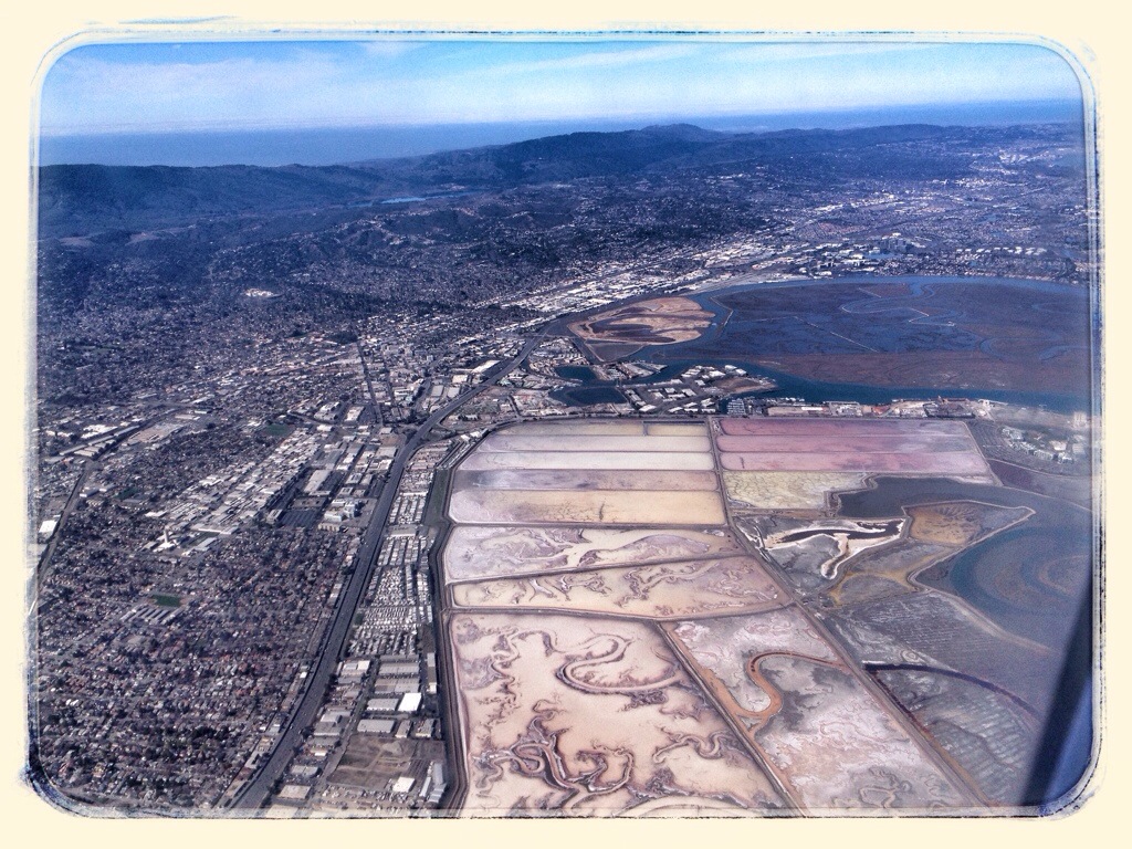
20140225-202832.jpg

Bair Island in San Francisco Bay, with San Carlos in the distance.
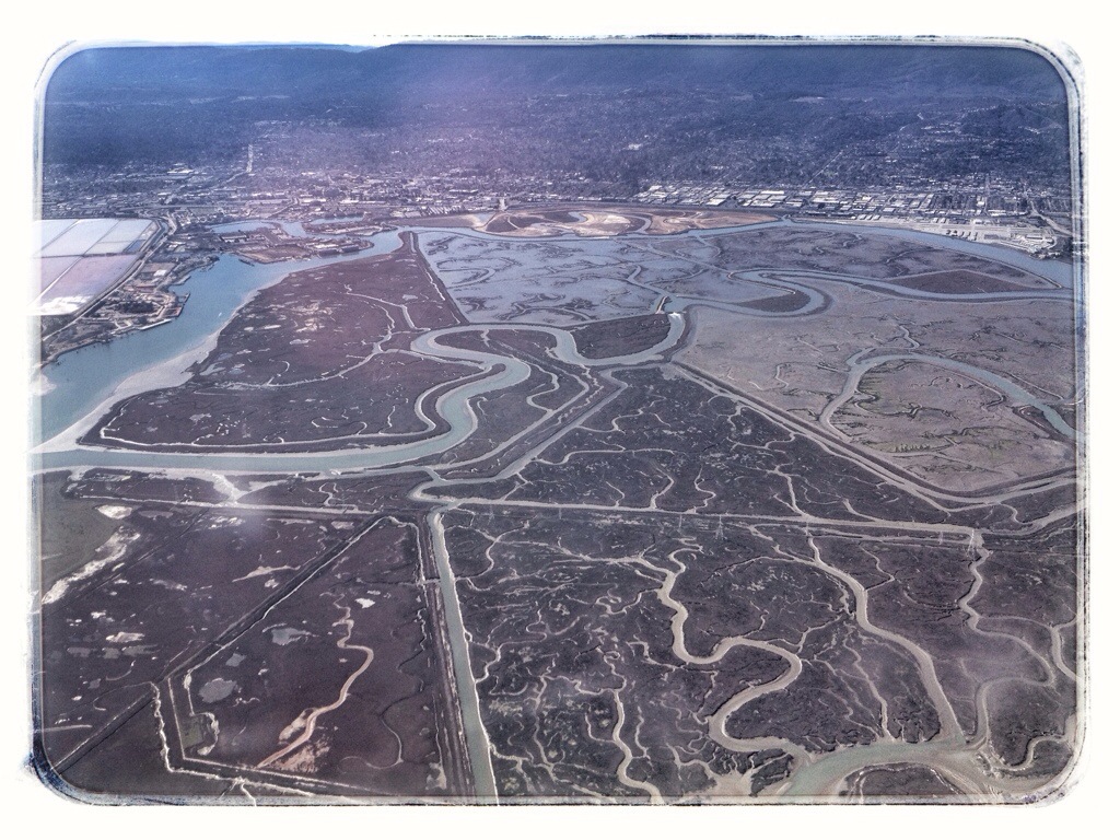
20140225-203106.jpg

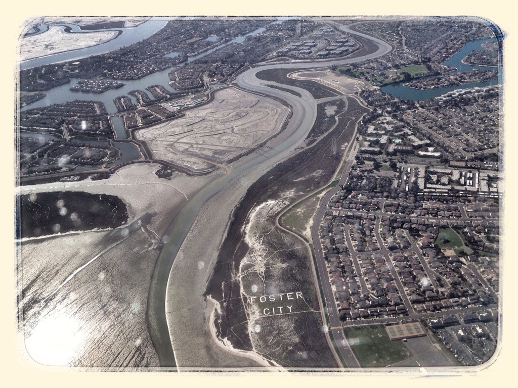
I’m thinking this is Foster City.

20140225-203120.jpg

Just before touchdown at San Francisco International Airport.
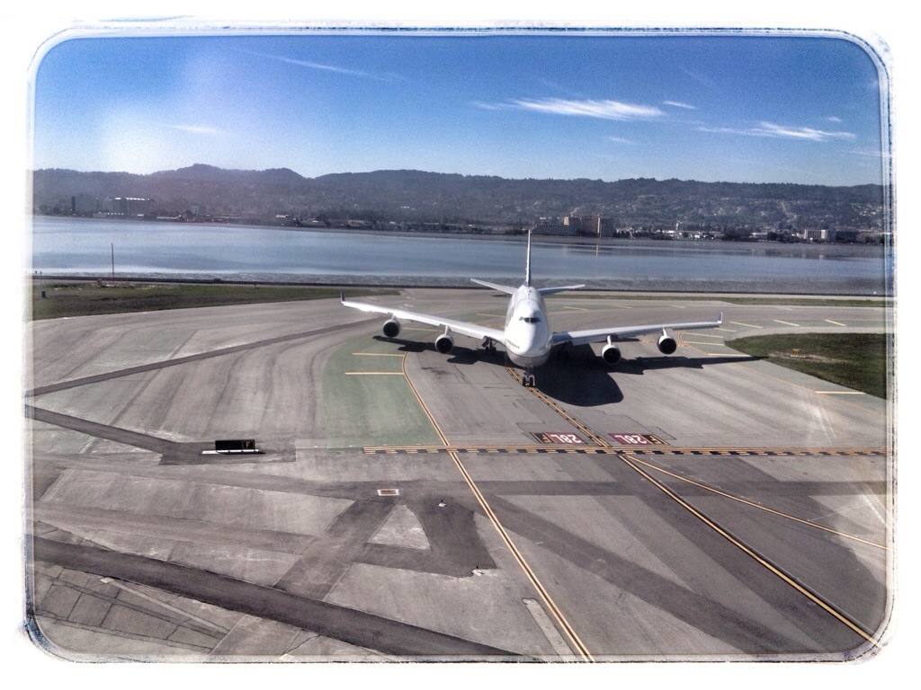
20140225-203059.jpg

I had an hour layover in San Francisco, then caught a flight to Chicago. It was much harder to track our progress on this flight because we flew a lot higher and faster. I was on the right side of the plane, looking south.

San Francisco Bay with the San Mateo Bridge in the distance.
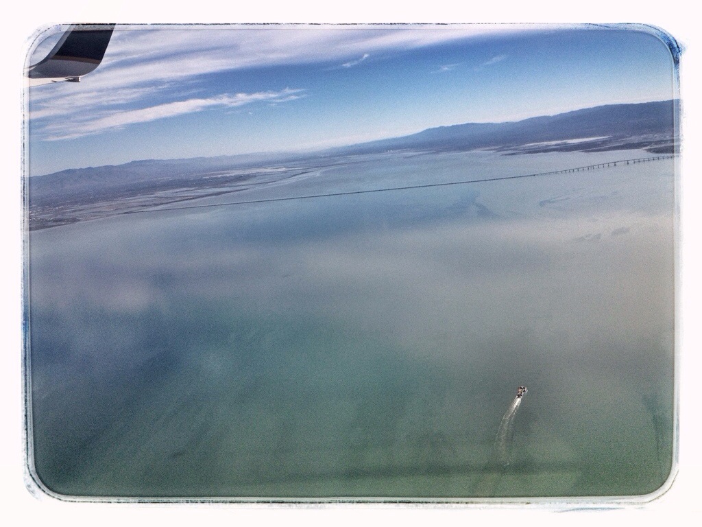
20140225-203043.jpg

Crossing the eastern shore of San Francisco Bay over San Leandro. Oakland International Airport is in the lower right corner.
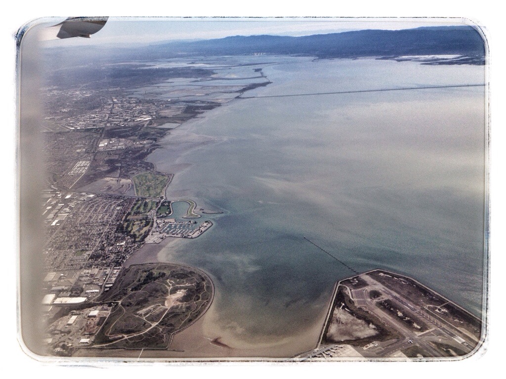
20140225-203113.jpg

The Los Vaqueros Reservoir with Livermore in the distance.
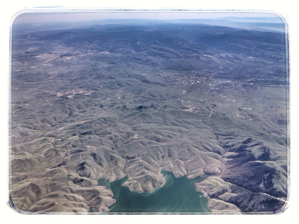
20140225-203133.jpg

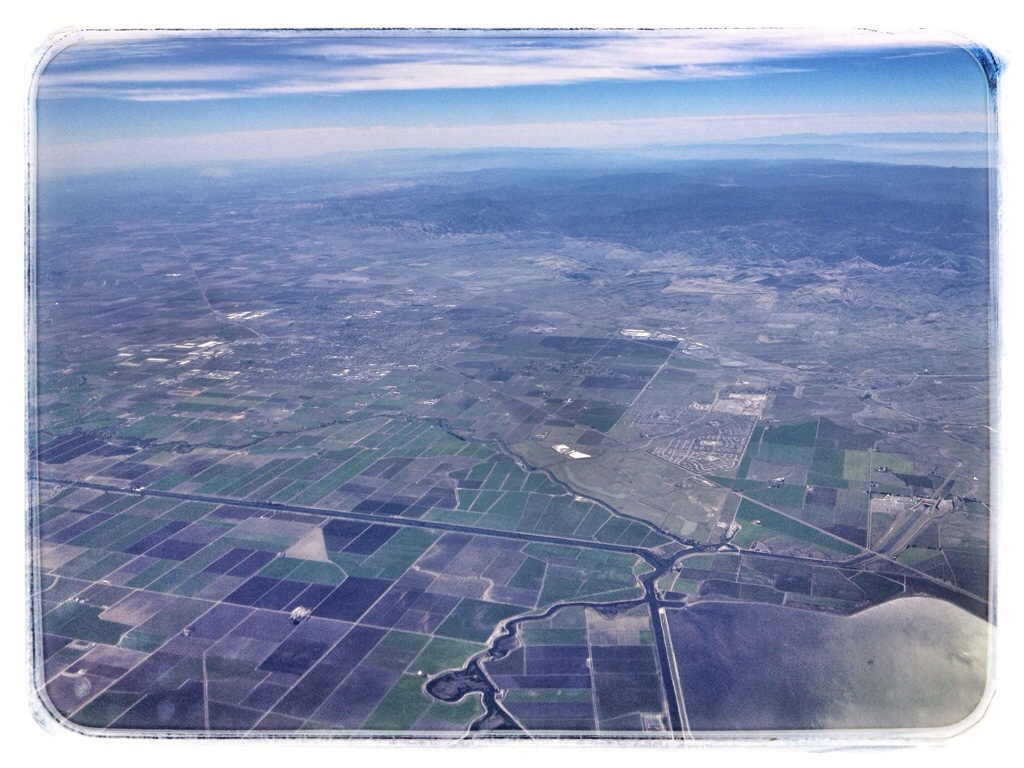
The body of water in the lower right is called Clifton Court Forebay. The city of Tracy is left of center.
20140225-203126.jpg

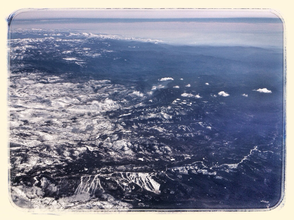
The western edge of the Sierra Nevadas, somewhere around Valley Springs. The body of water at center may be New Hogan Reservoir, but I’m not sure.
20140225-203050.jpg

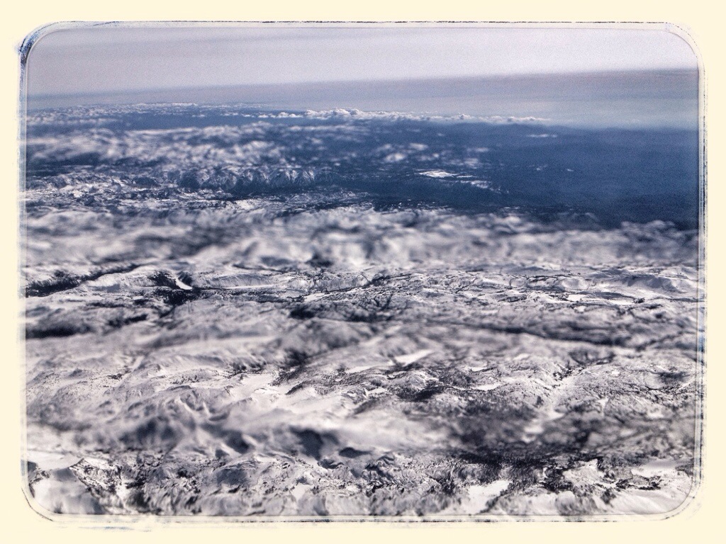
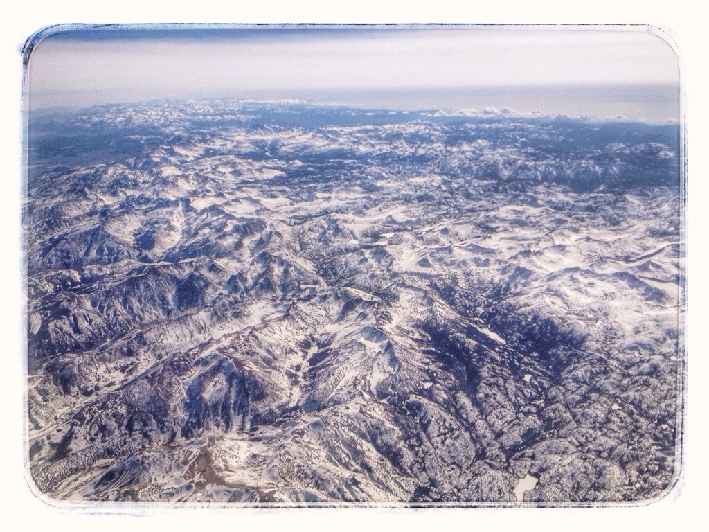
The Sierra Nevadas

20140225-203139.jpg

20140301-100805.jpg

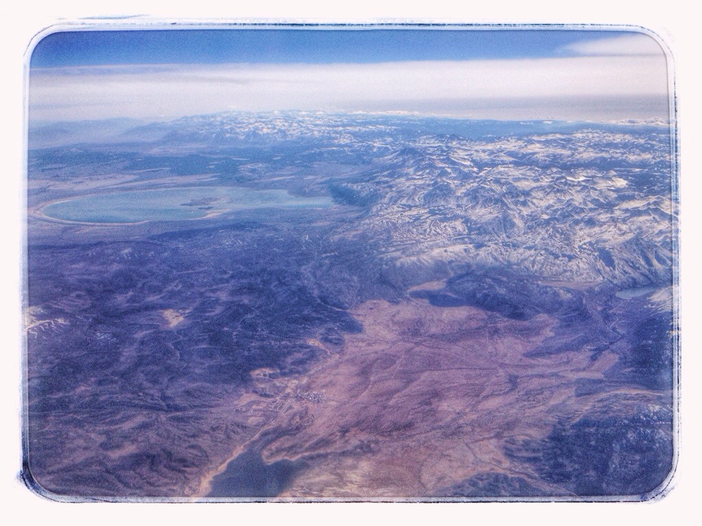
Mono Lake, which means that Yosemite National Park is somewhere on the right.
20140301-100811.jpg

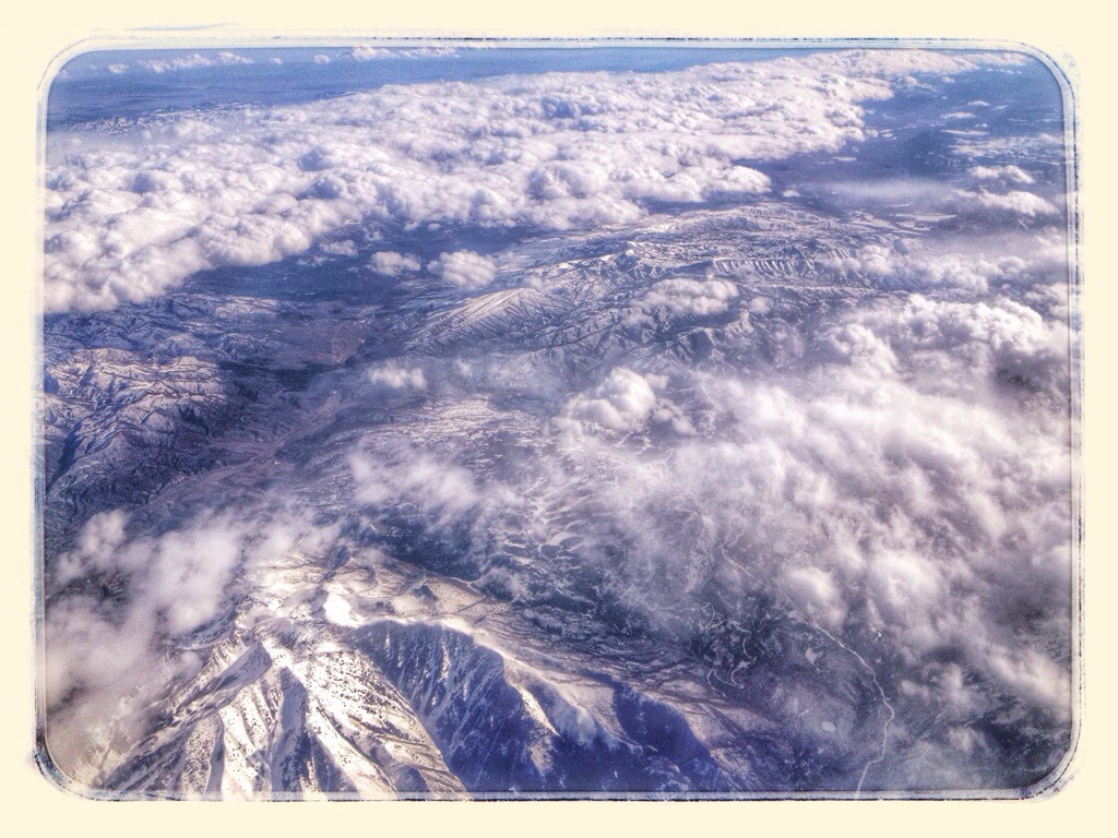
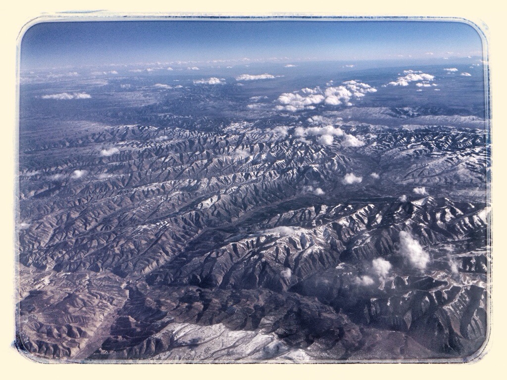
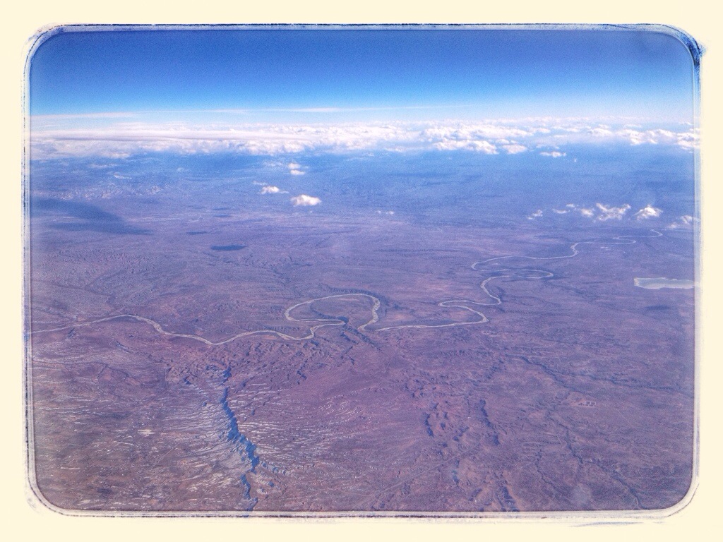
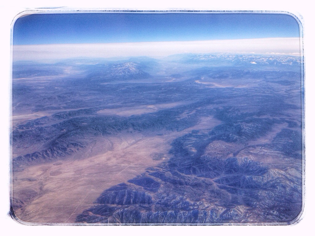
At which point I lose track of where we were.
20140301-100753.jpg

20140301-100759.jpg

20140225-203153.jpg

20140301-100747.jpg

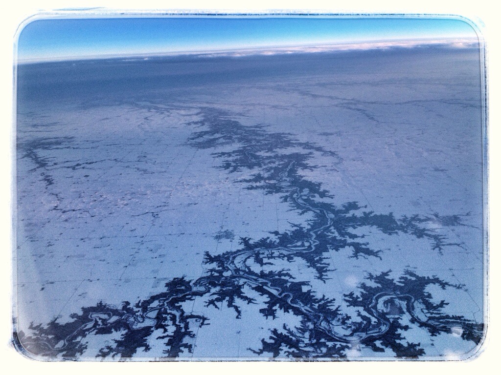
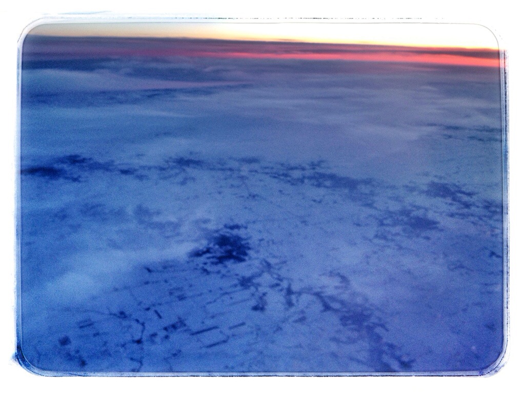
After we crossed the Rockies, it clouded over and I watched a movie on my iPad. When the sky cleared, it was getting dark.
20140225-203209.jpg

20140225-203159.jpg

20140225-203221.jpg

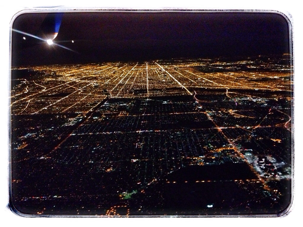
Chicago. Downtown is the dark area below the wing.
20140225-203215.jpg

Posted in Scenery | Comments Off on Flying Home

Road Trip

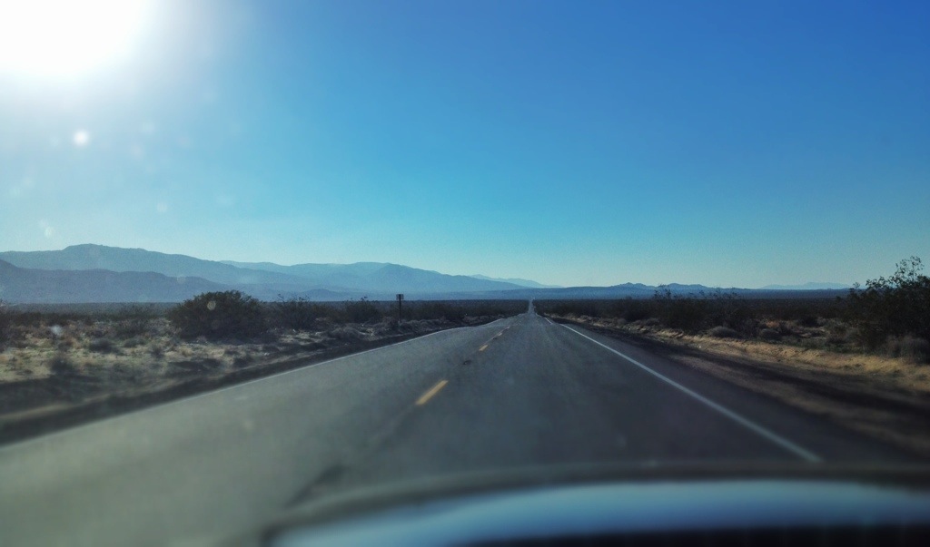
My rental car in California was a Ford Mustang convertible. After I left Joshua Tree National Park, I put the top down and headed northwest on Old Woman Springs Road.

20140225-203845.jpg

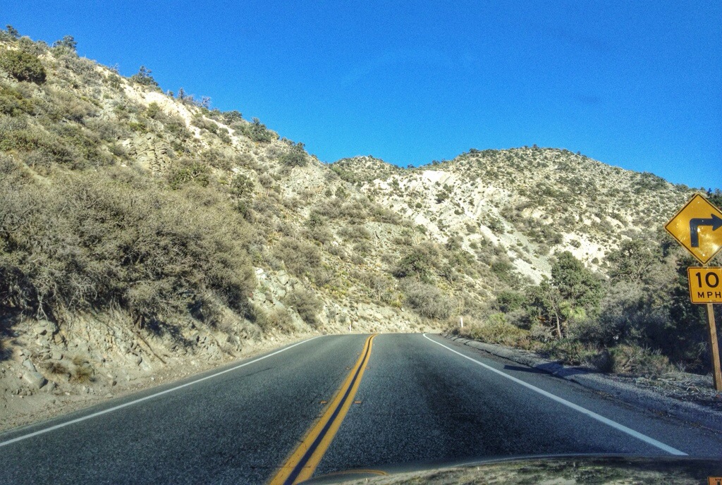
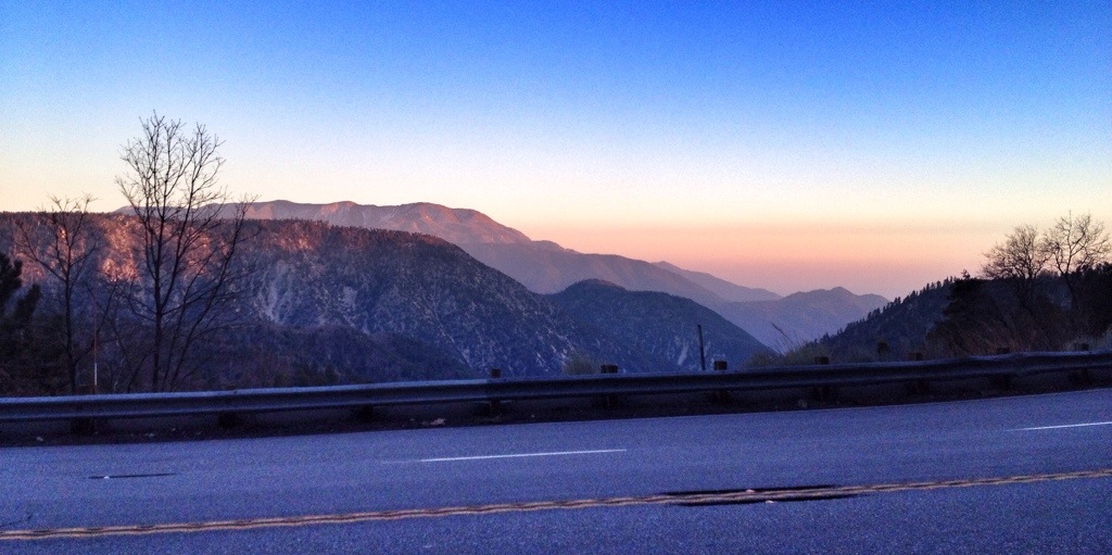
Eighty miles later, I turned south up into the San Gabriel Mountains to Big Bear Lake.

20140225-203909.jpg

20140225-203932.jpg

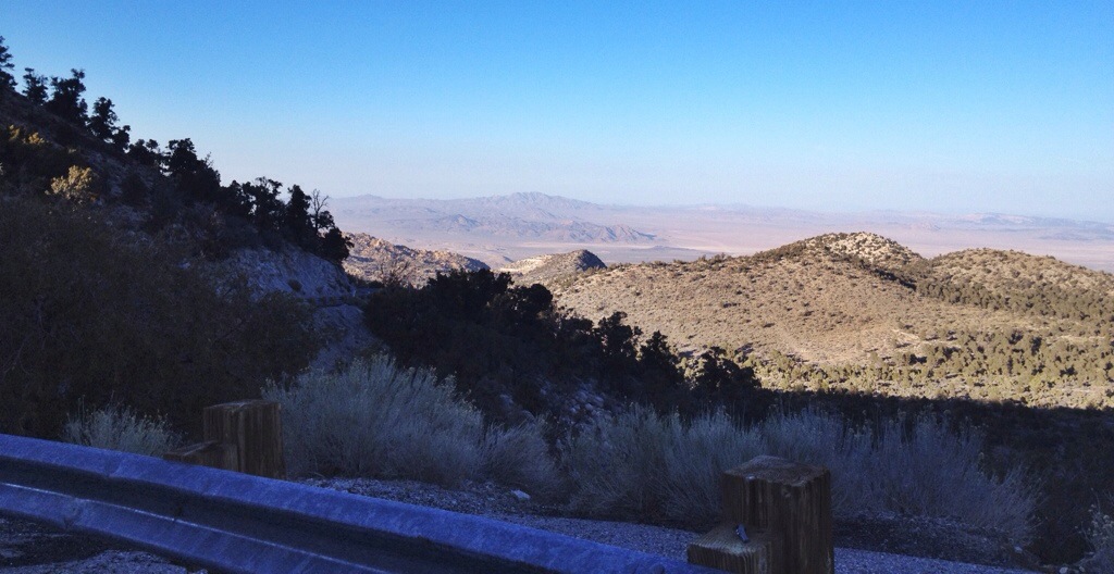
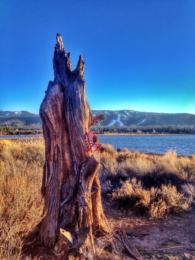
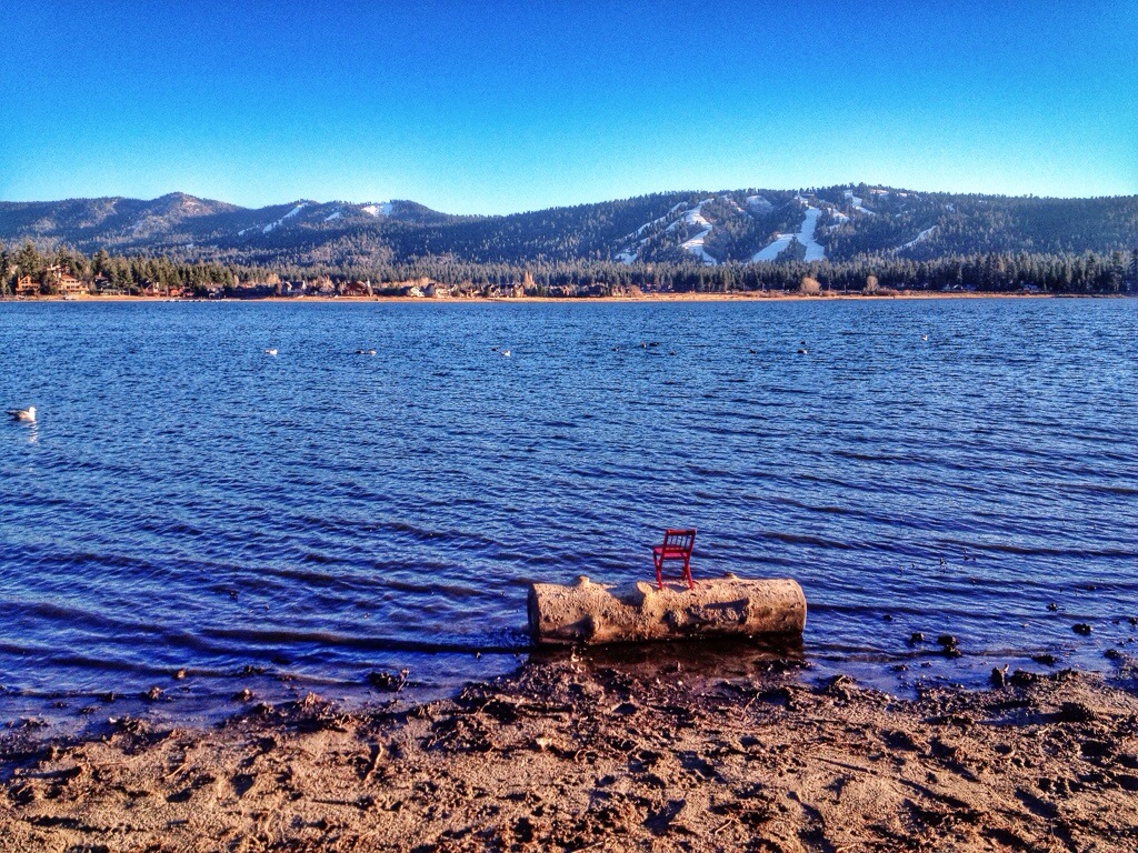
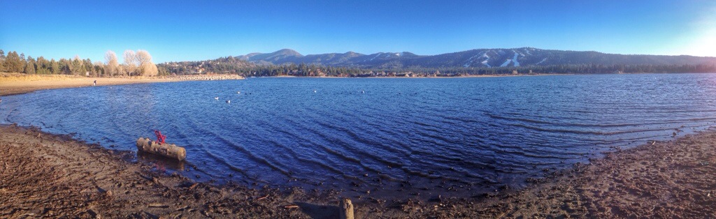
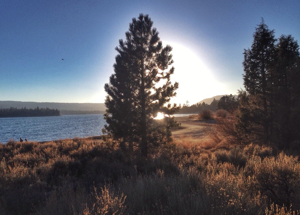
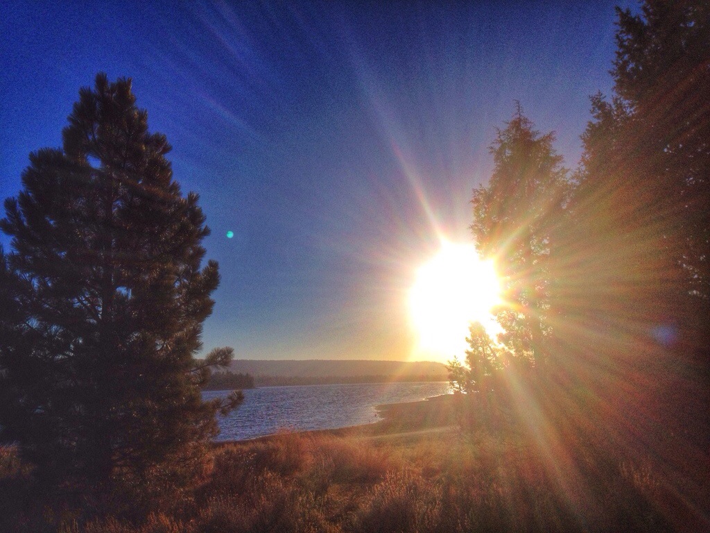
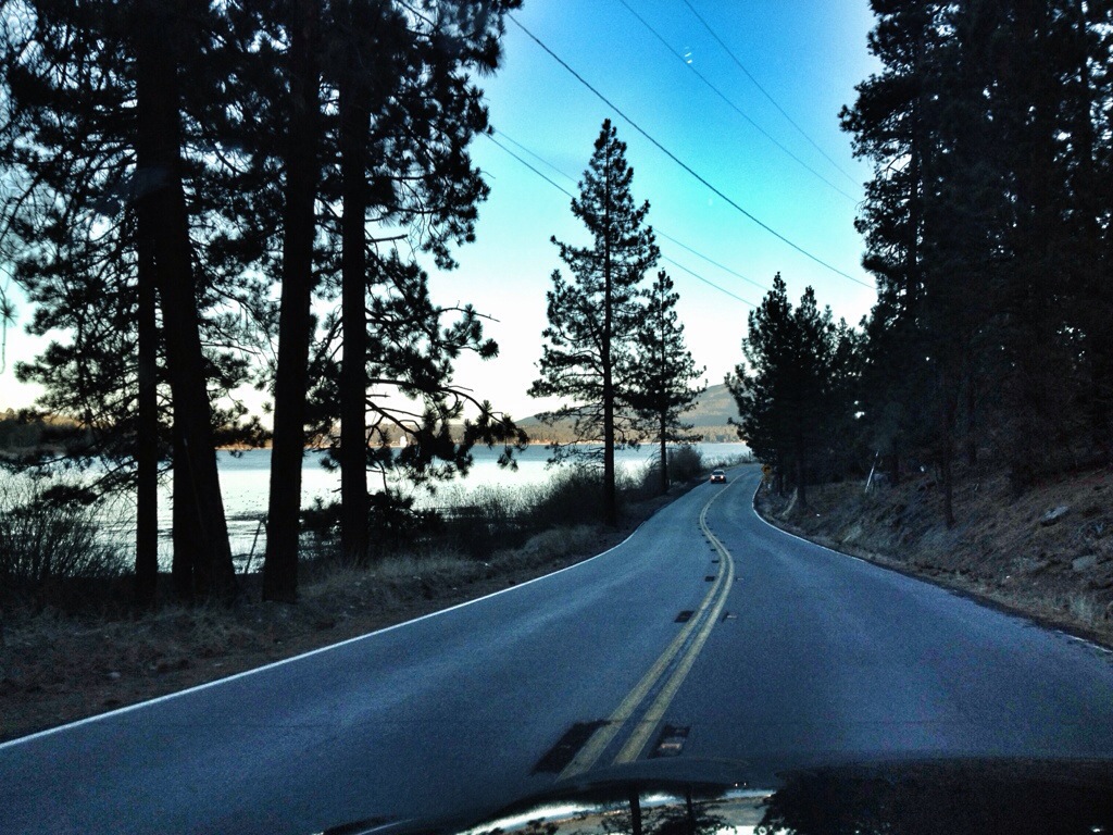
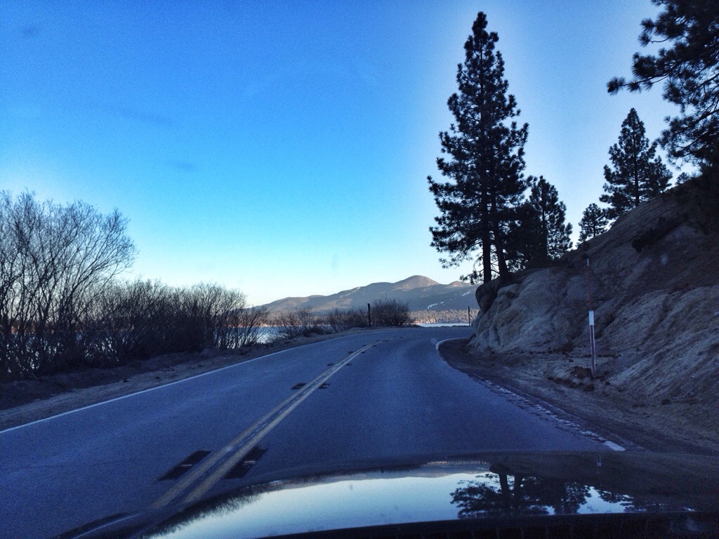
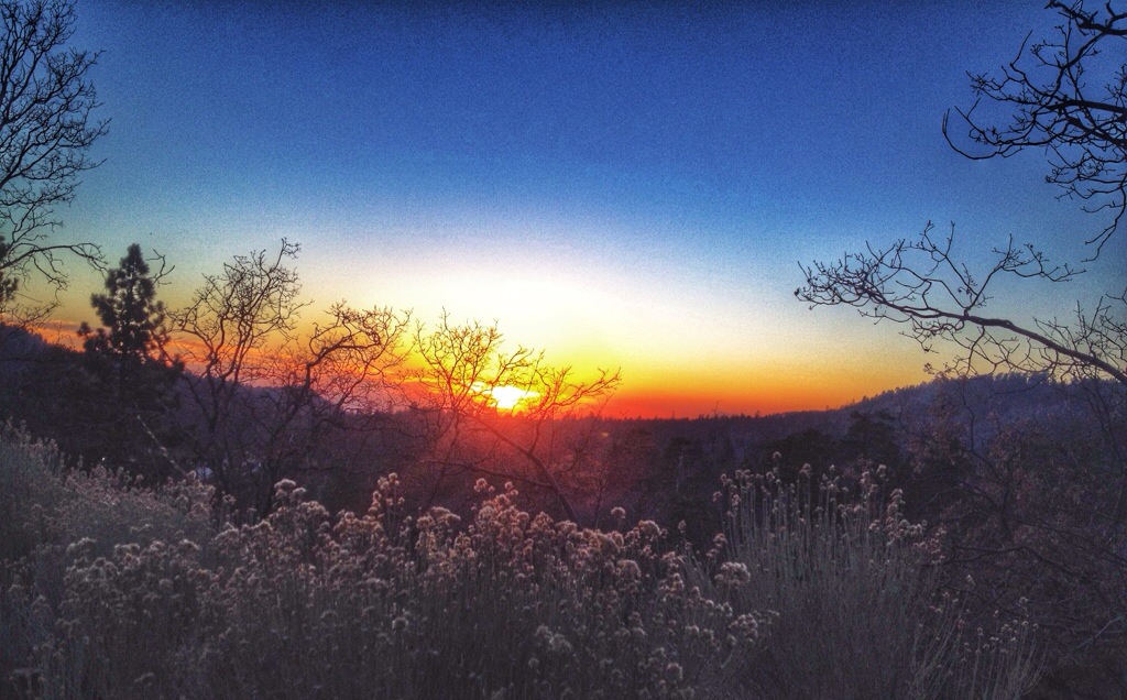
The road passed above 7,000 feet before dipping down to 6,759 feet at the shore of the man-made lake. The beach parking lots were closed, but many people had parked along the road and were walking the shoreline, so I did too. I didn’t go far or stay long because the sun was setting and I still had to drive down out of the mountains. As it was, it got dark before I made it to the valley. The snow on the ski slopes is, I think, manufactured because there was none anywhere else.

20140223-212844

20140223-212850

20140223-212857

20140225-203919.jpg

20140225-203858.jpg

20140225-203954.jpg

20140225-204020.jpg

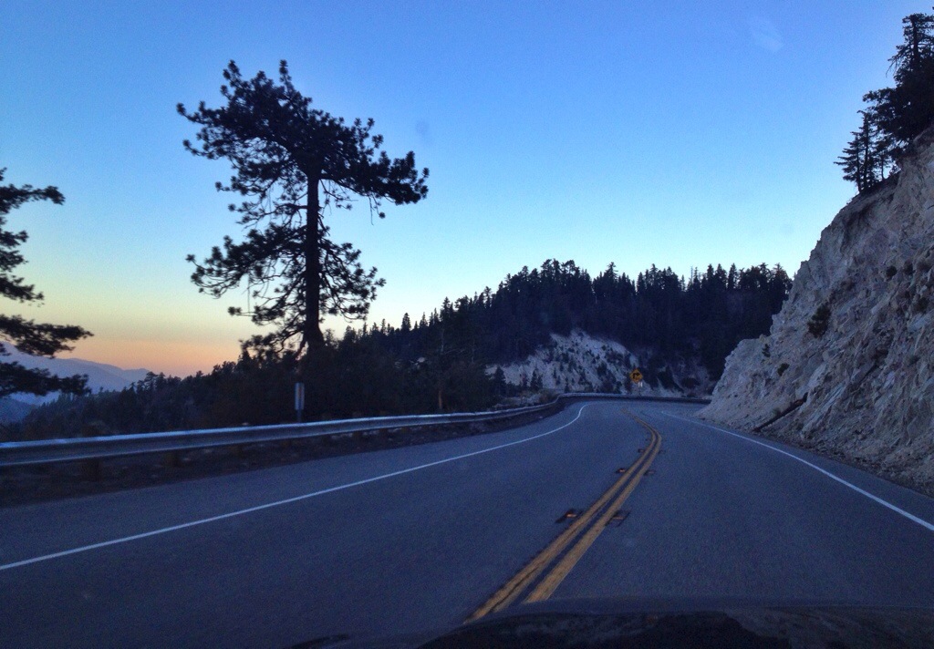
It was dusk when I started down the other side of the mountain. There was a steady stream of traffic coming up the other way.

20140225-204002.jpg

20140225-203946.jpg

20140225-204029.jpg

Posted in California | Comments Off on Road Trip

Mustang

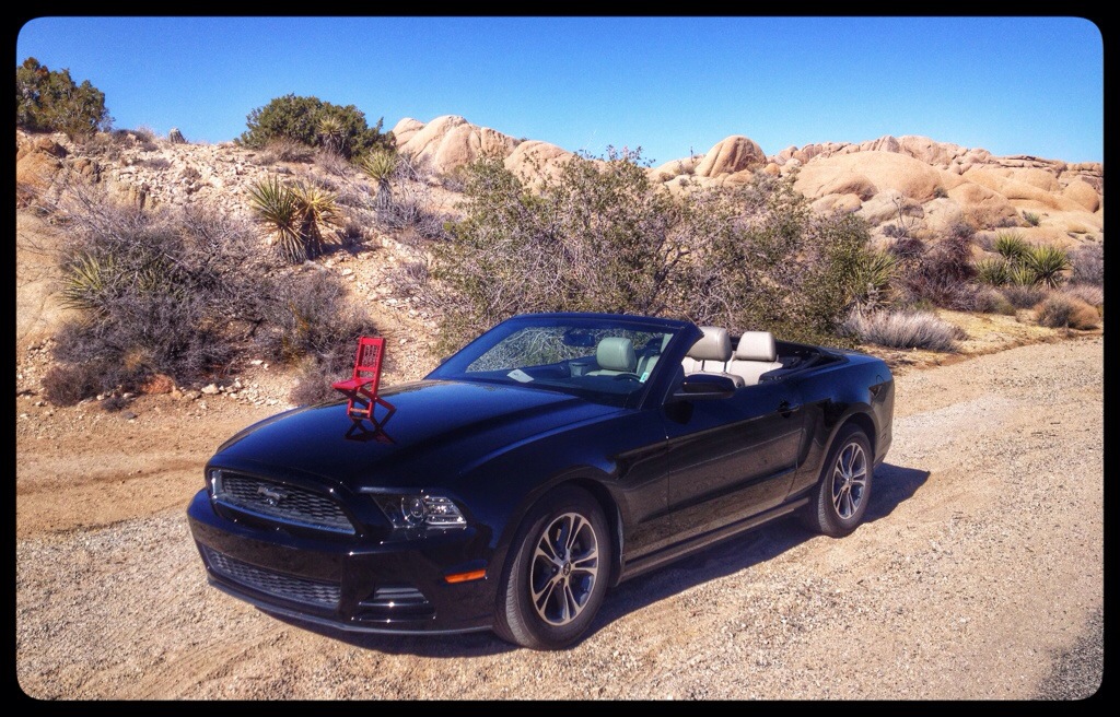
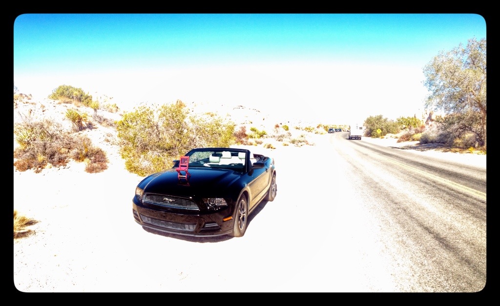
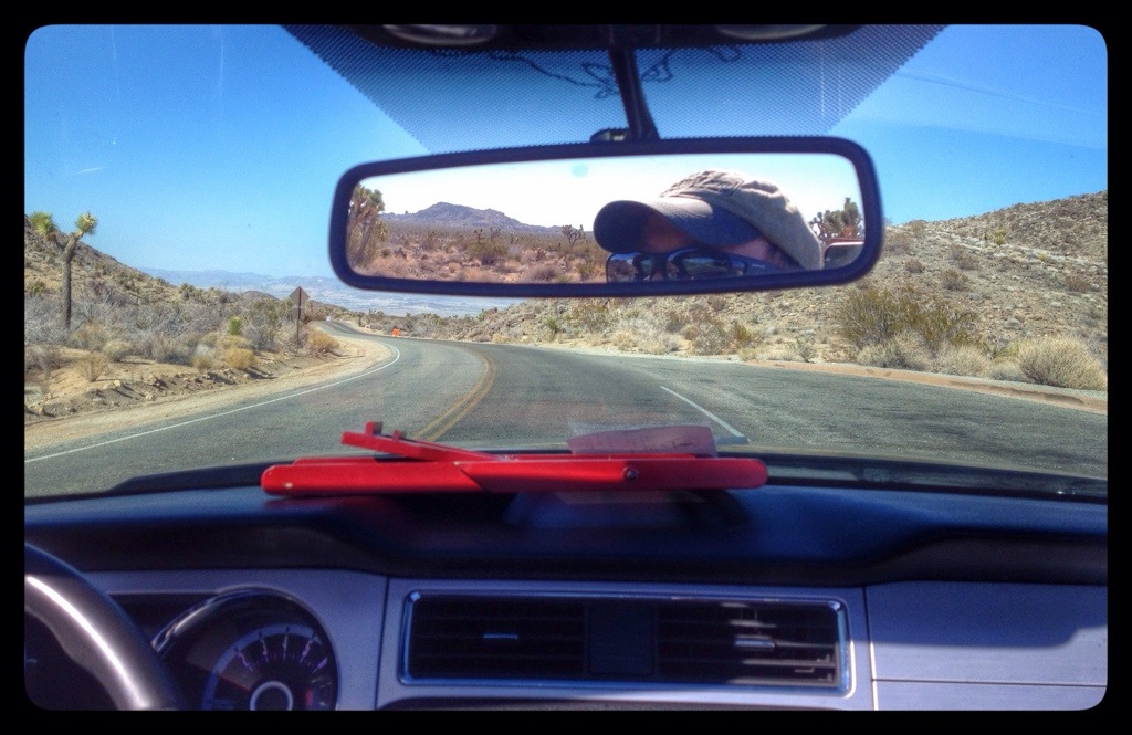
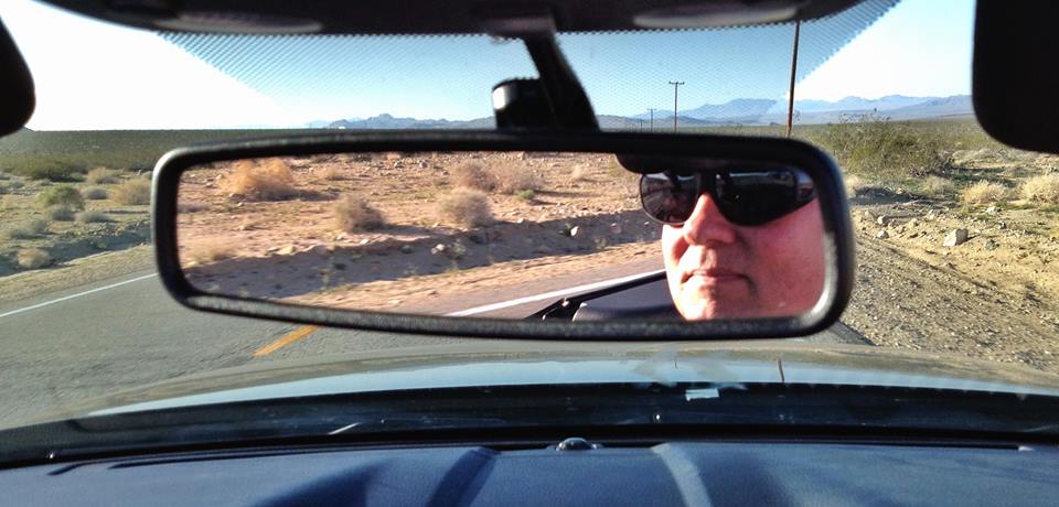
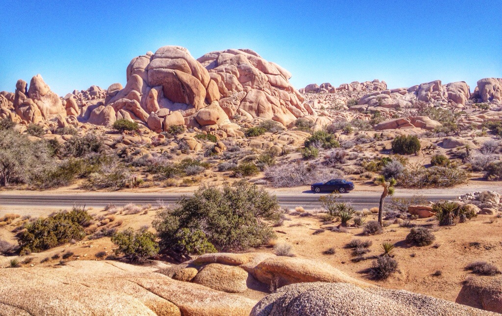
My rental car for my two days of exploration was a Ford Mustang convertible. I had never driven a convertible before. I never put the top down on Thursday because I didn’t want to be that exposed in the pollution and congestion of L.A. But on Friday, at Joshua Tree, it was a different story.

20140223-212413

20140223-214646

20140223-214652

556002_10202628762215733_271831124_n

Posted in Miscellaneous | Comments Off on Mustang

Joshua Tree National Park

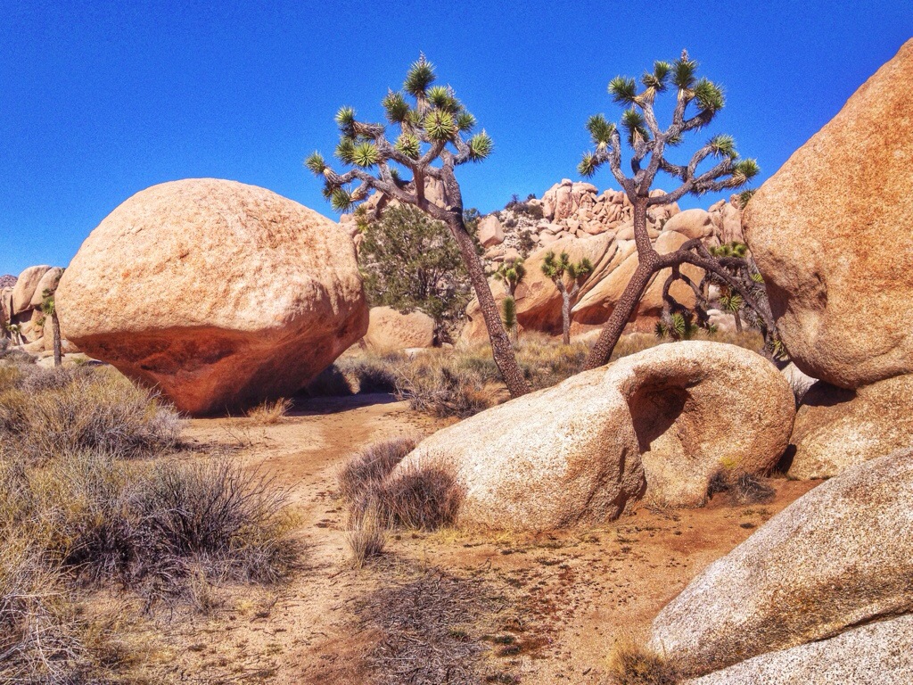
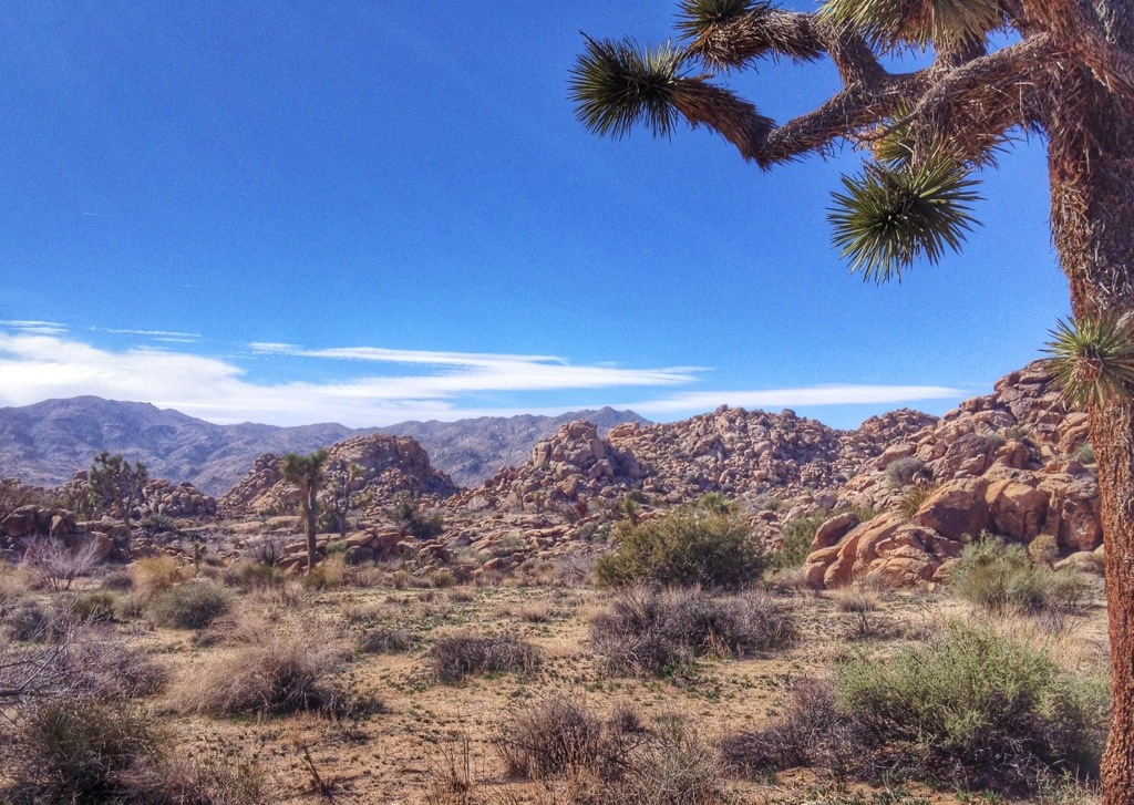
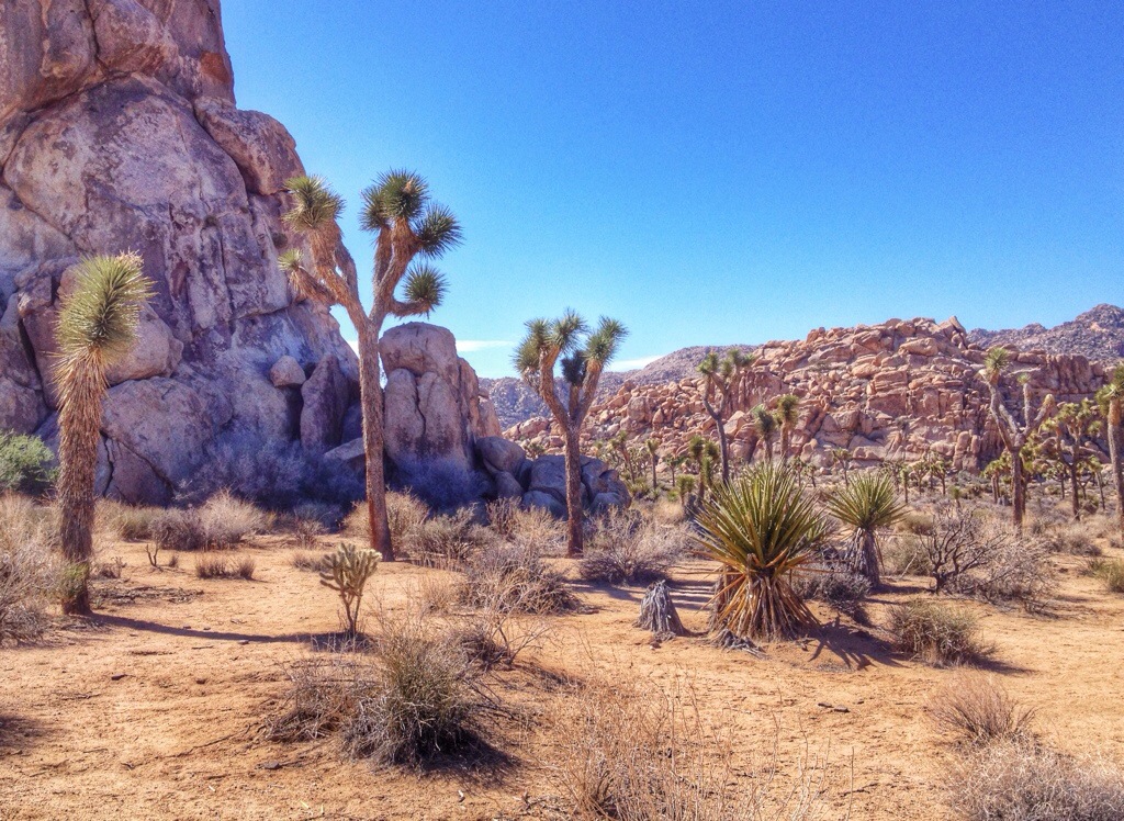
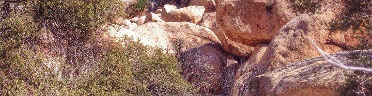
On Friday, I headed east into the high desert of Southern California. I spent most of the day in Joshua Tree National Park, hiking, birding, exploring.
20140223-212003

20140225-204139.jpg

20140225-204148.jpg

20140225-204159.jpg

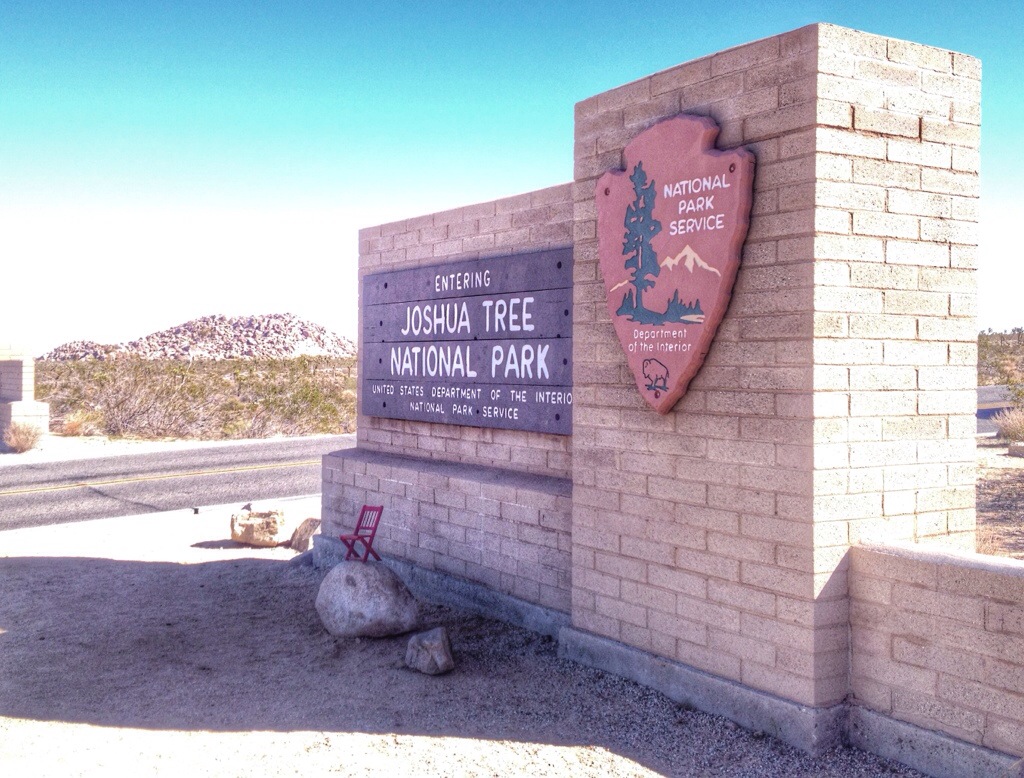
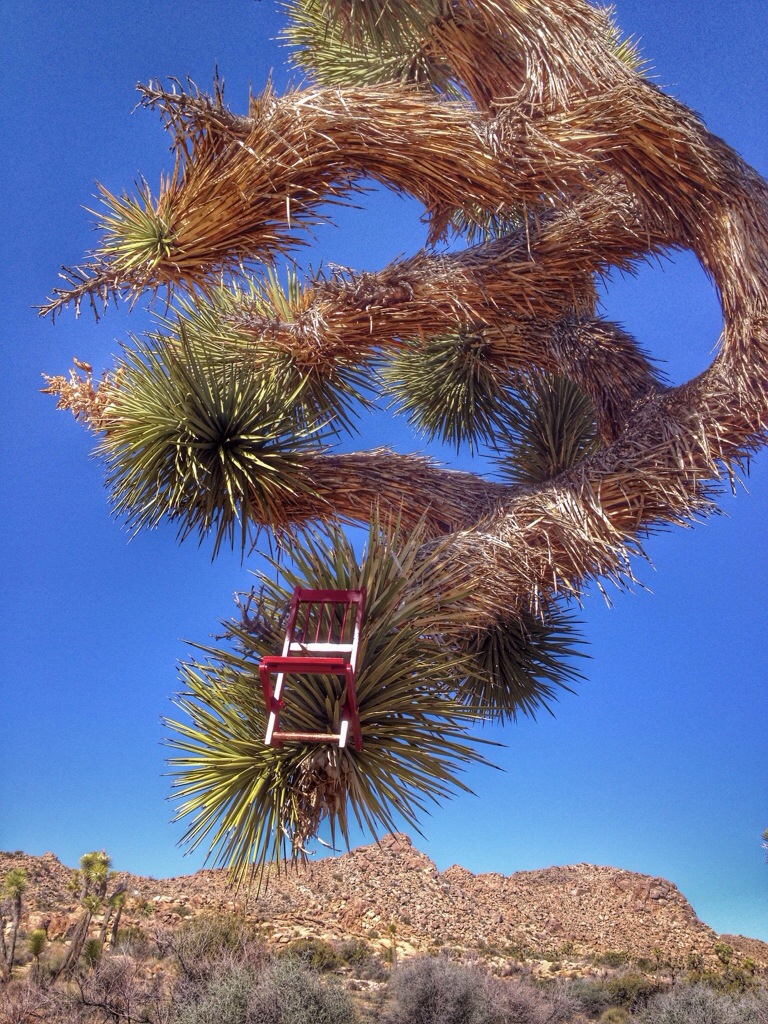
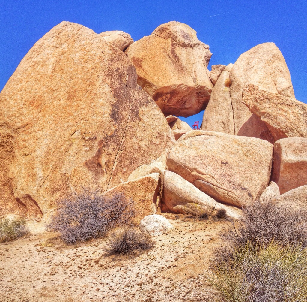
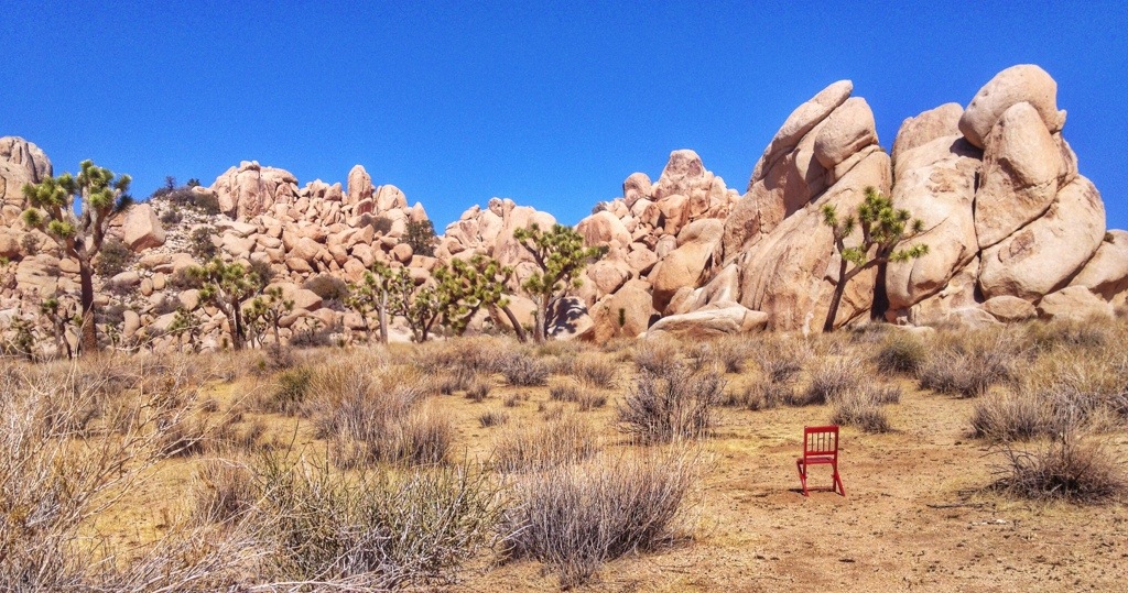
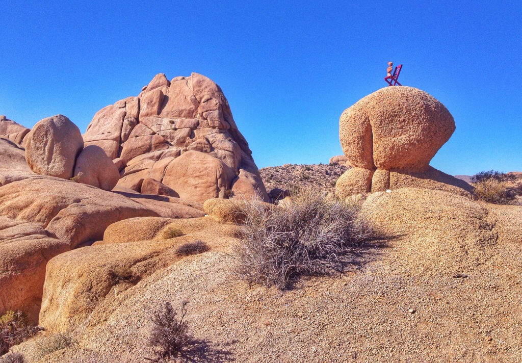
Of course I had to get a shot of the chair in a Joshua Tree.

20140223-212018

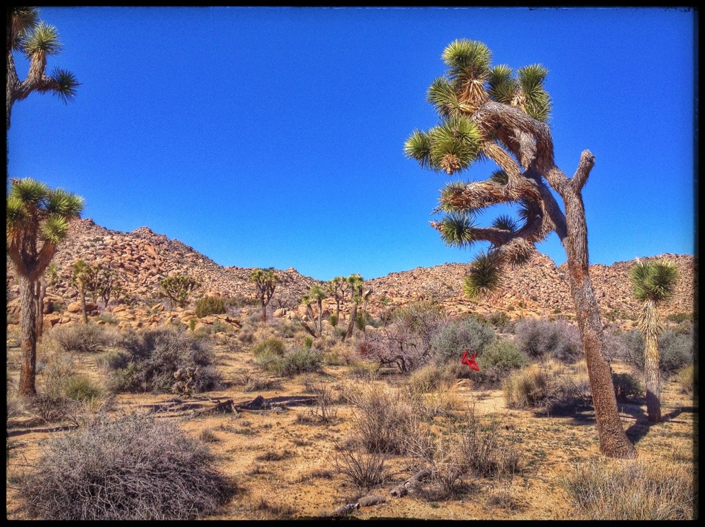
I backed up to get another view, and that’s how I accidentally managed to get a photo of the red chair falling out of a Joshua tree.

20140223-212030

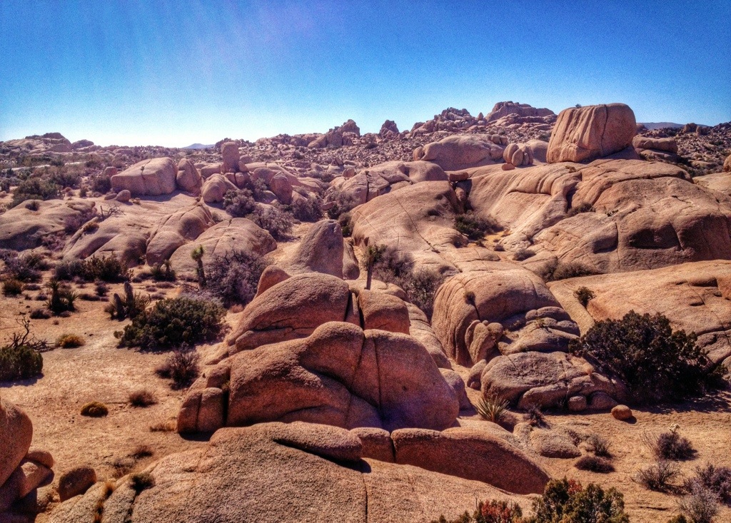
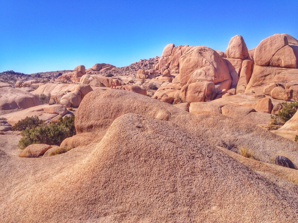
I parked in the Hidden Valley picnic area and took a stroll around the rock formations.

20140223-212121

20140223-212131

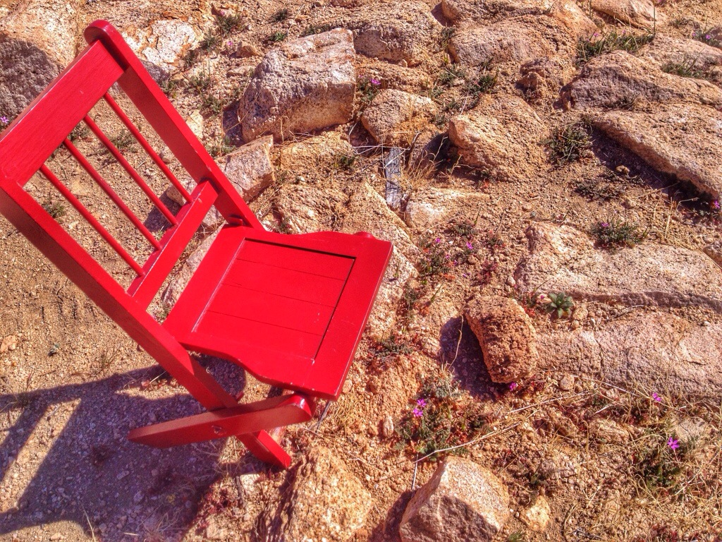
Notice, if you will, the tiny purple flowers. Remember, this is the little Red Chair.

20140223-212205

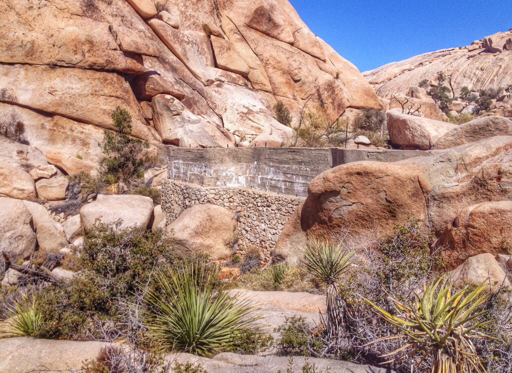
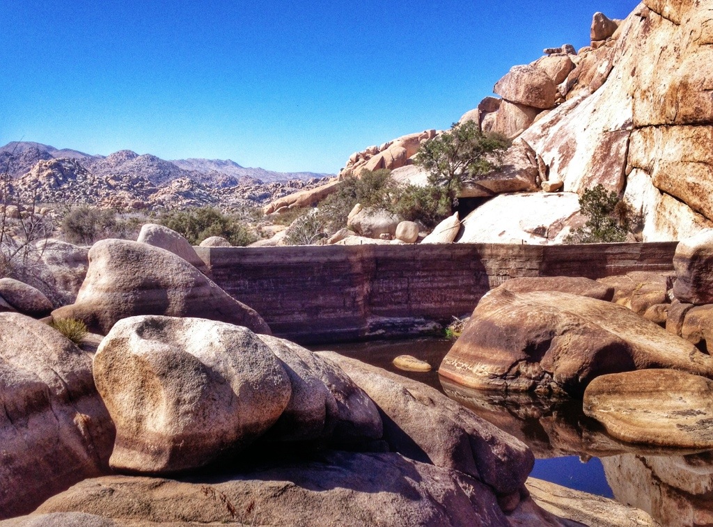
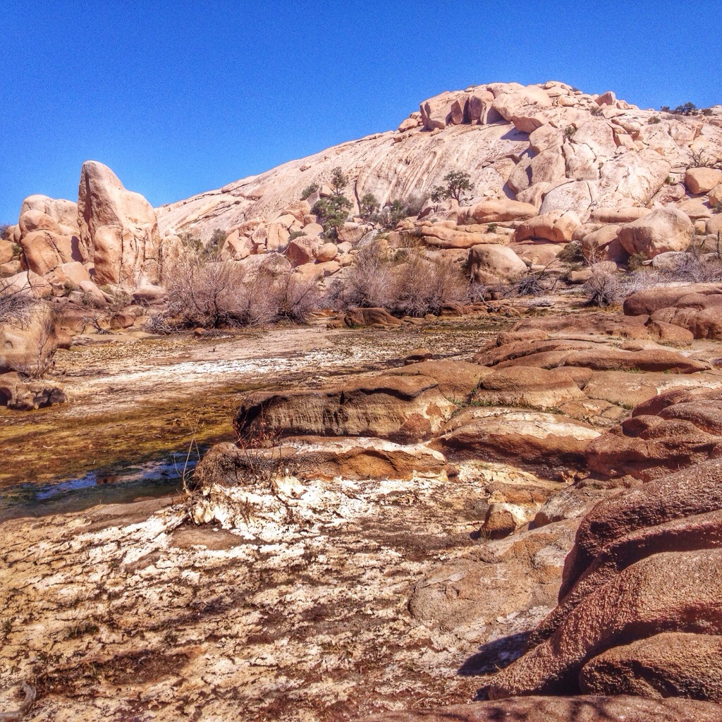
I hiked the trail to Barker Dam because the ranger at the visitor center told me there was a little water there and birds congregated. There was water — a tiny pool of gross, stagnant water — and there were birds too. I saw Black-chinned Sparrows, House Finches, Rufous-crowned Sparrows, Ladder-backed Woodpeckers, Bewick’s Wren, Cactus Wren, Northern Mockingbird, Gambel’s Quail, Common Raven, Gray-headed Junco, and Phainopepla.

20140225-204317.jpg

20140225-204221.jpg

20140225-204254.jpg

20140225-204305.jpg

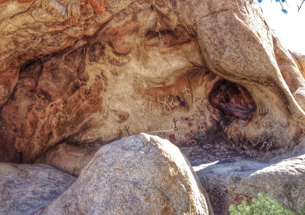
A sign claimed that these pictographs were real but that vandals had outlined them with paint.

20140225-204211.jpg

20140225-204236.jpg

How to become a tourist attraction in four easy steps.

First, acquire a small red chair.

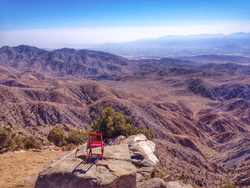
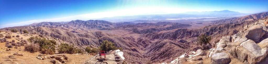
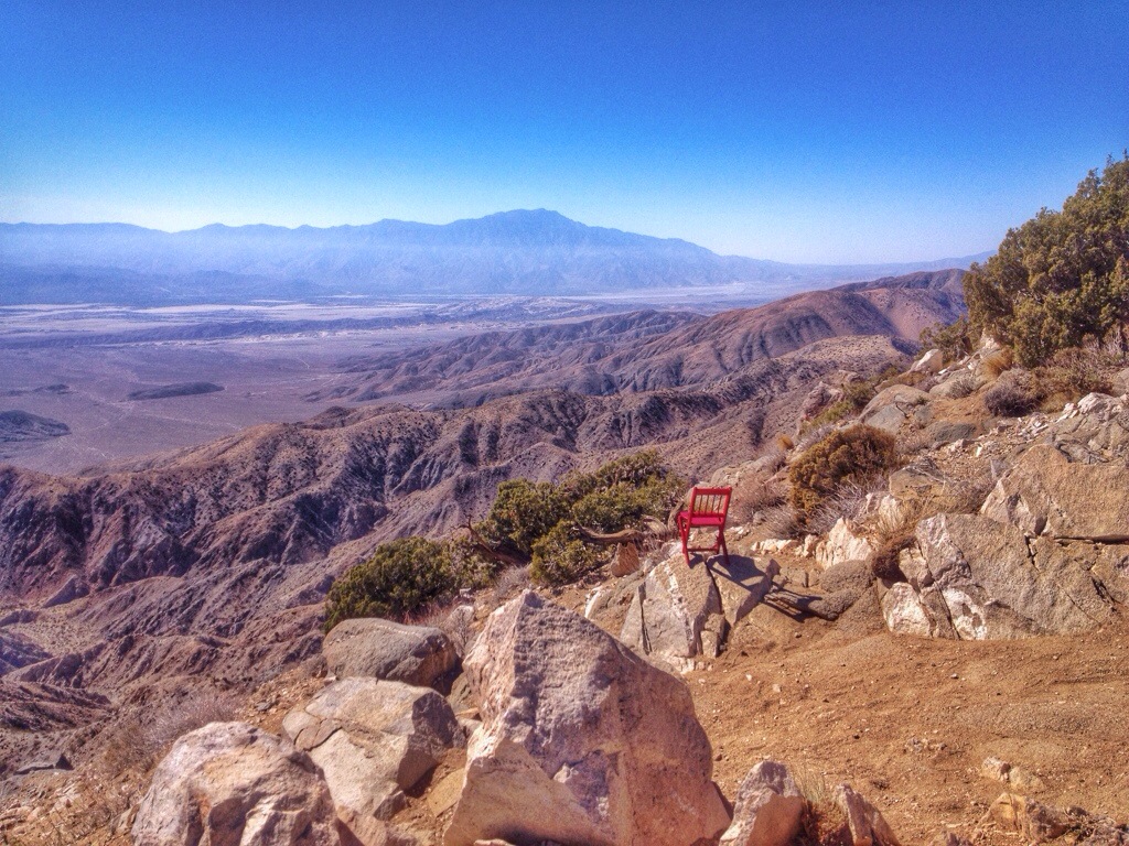
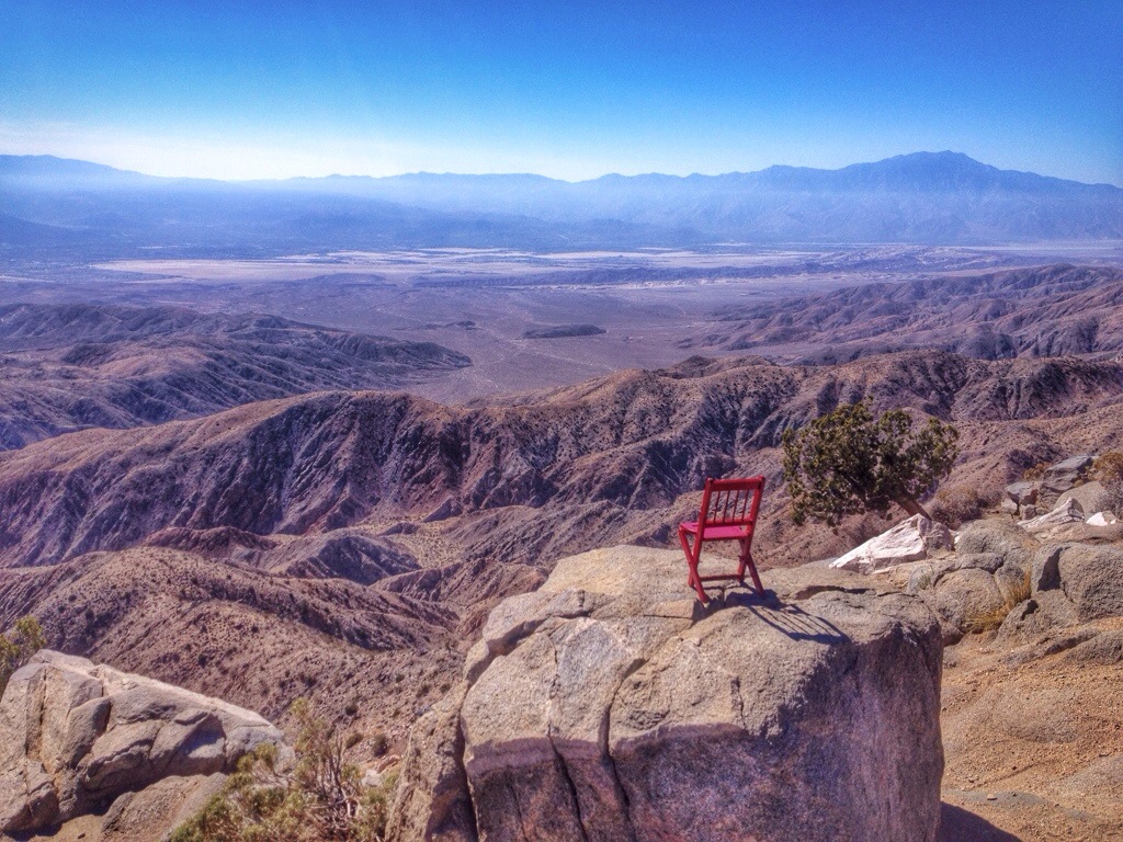
Second, bring that chair to an area where there are a lot of tourists, such as the Keys View overlook at Joshua Tree National Park.

Third, have the courage to walk out in front of all those tourists and place the chair in an exposed position, then take photos.

Fourth, be willing to explain what you’re doing to a steady stream of people.

I could hear several people in the crowd — there were perhaps 40 people at the overlook while I was there — talking about me as I took these photos. When I walked back up to the overlook, a woman asked me the story behind the chair. Others gathered around to listen. A few minutes later, another woman called me over. She said her friend hadn’t heard my explanation, and could I explain it to him. Then, after I repositioned the chair and took some more photos, a third group corralled me and asked. Everyone was very nice and seemed to find it interesting, even when I explained that there really wasn’t any significance to what I was doing apart from the fact that I’m easily bored and easily amused.

20140223-212527

As for the view, I’m standing on top of the Little San Bernardino Mountains, looking generally southwest across the Coachella Valley. In the photo above, the Salton Sea can be seen in the left distance. Palm Springs would be visible across the valley in the other photos if it weren’t for the haze.

20140223-212536

20140223-212543

20140223-212549

I stopped again near Skull Rock and climbed around for a while.

20140225-204336.jpg

20140225-204245.jpg

20140223-212257

One outcropping, in particular, seemed to scream for a rock stack, so I obliged.

20140223-212304

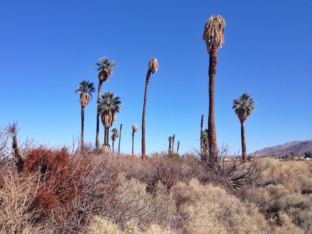
I also stopped at the Oasis of Mara. The drought had dried things up and the palm trees were dying.
20140225-204346.jpg

Posted in California | Comments Off on Joshua Tree National Park