My trip home from California consisted of a short flight from Ontario to San Franciso, an hour layover, and then a long flight from San Franciso to Chicago.
On the first flight, I made sure I was sitting on the left side of the plane so I would be able to see the coast. We traveled at around 10,000 feet. In the following photos, I’ll try to identify any landmarks that will identify the shots. (I realize this probably won’t be interesting to anybody but me, but I enjoyed it because I’ve never been any of these places and this may be the only time I see them.)
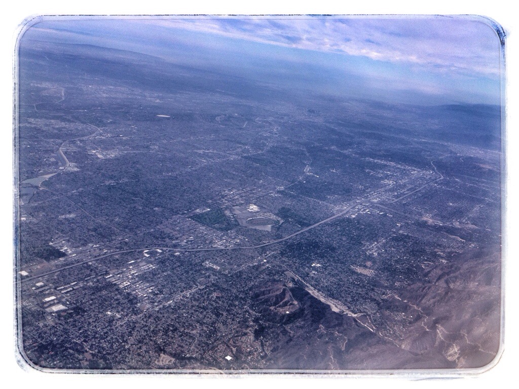
Los Angeles sprawl. The black spot just above and to the right of center is downtown L.A. The oval just below center is the Santa Anita racetrack
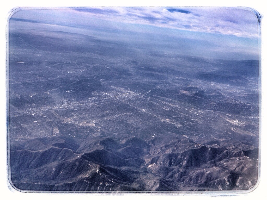
Another shot of L.A. from the northeast. Downtown is just above center.
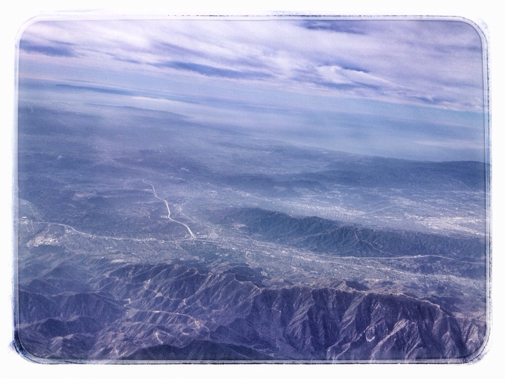
Downtown L.A. is left of center now. The white line pointing toward it is the Glendale Freeway.
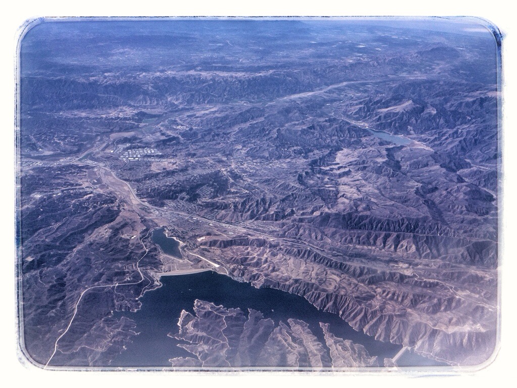
Castaic Lake and Interstate 5
Pyramid Lake in the foreground. The low point on the coast in the distance is Oxnard.
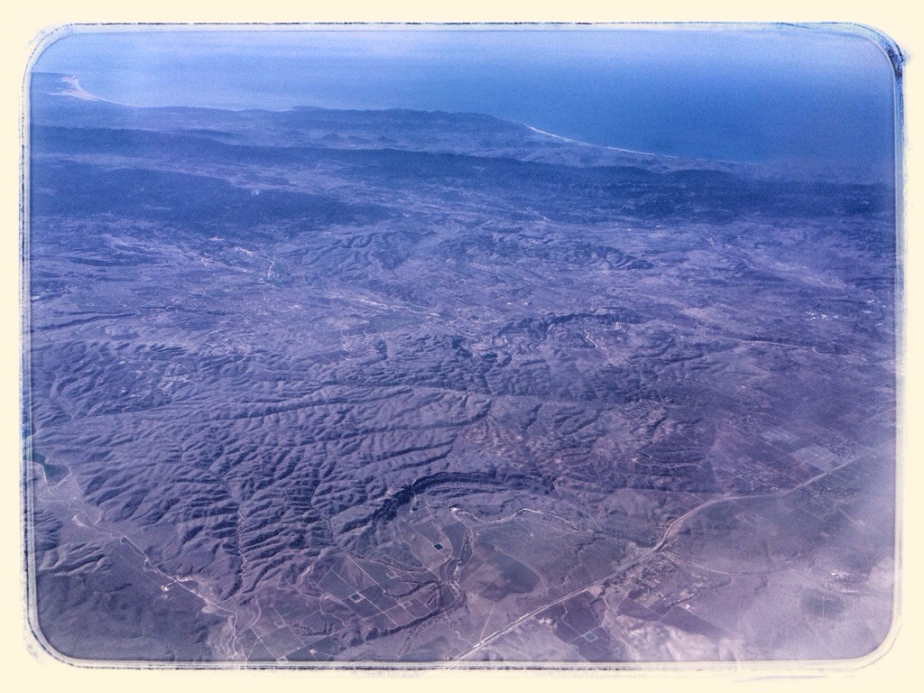
I took this picture because it was where the green(ish) of the mountains transitioned into desert. The green is Los Padres National Forest. The gash across the photo is the Cuyama River. The coast in the distance is somewhere around Santa Barbara.
The Carrizo Plain west of Maricopa. I’m pretty sure the crack down the center is the San Andreas Fault.
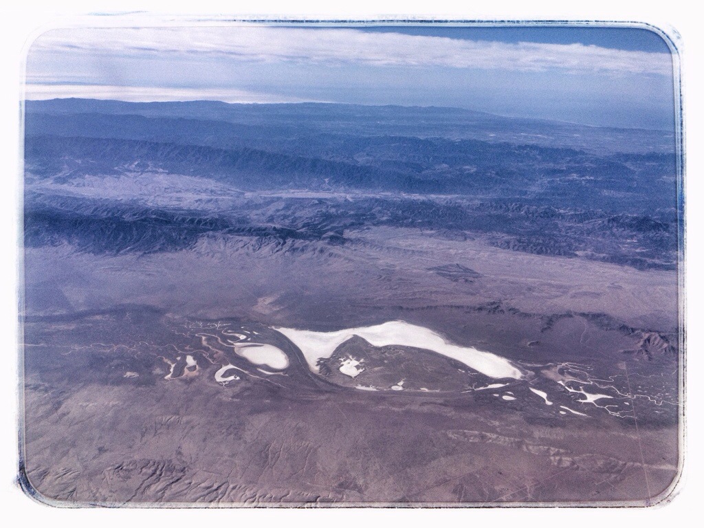
Soda Lake in the Carrizo Plain.
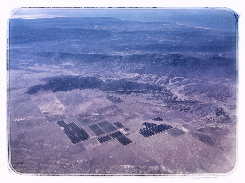
A solar farm in the Carrizo Plain northwest of Soda Lake. It’s a new installation — iMaps doesn’t show it and Google Earth only shows part of it. Santa Maria is somewhere on the flats between the Plain and coast.
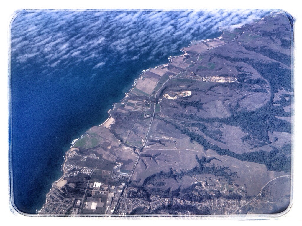
The patch of “beach” along the coast in the upper left is Oceano Dunes State Vehicular Recreation Area. The line of white surf on the right is Morro Bay. The highway in the foreground is Route 46.
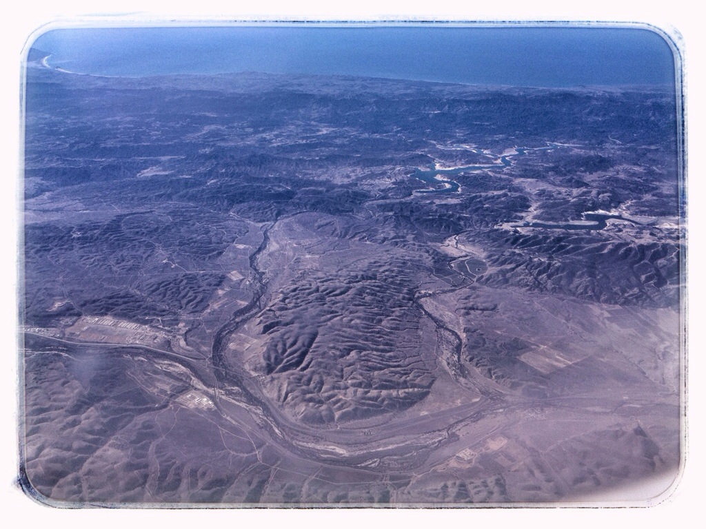
Morro Bay is still visible in the upper left. The lake on the right is the San Antonio Reservoir. The one closer to the center is Nacimiento Lake. Somewhere along the coast directly beyond them is San Simeon.
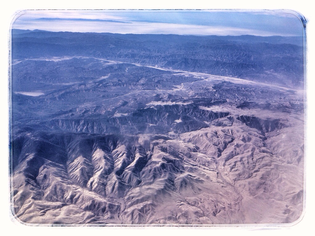
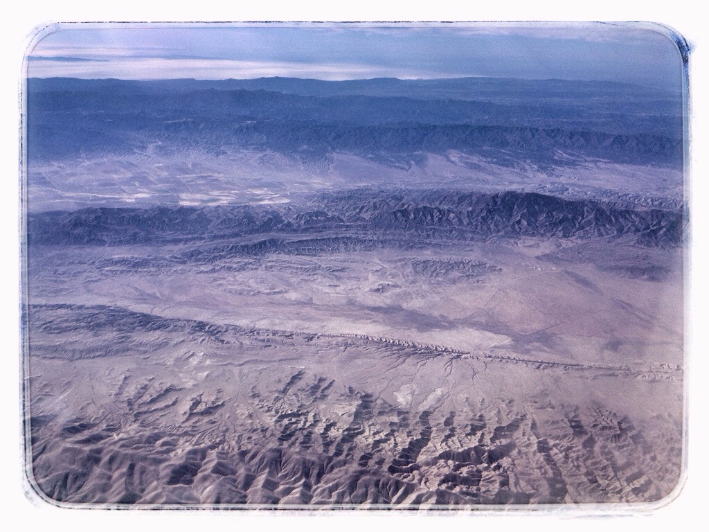
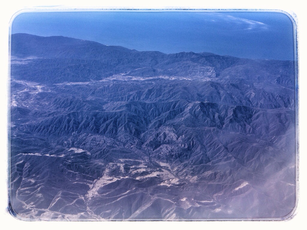
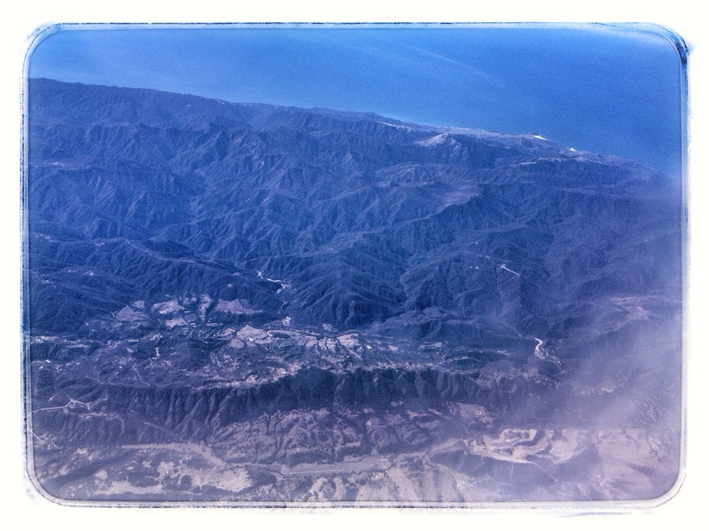
I can’t exactly place these next two, but we were generally flying northwest along the line of Route 101, somewhere in the vicinity of Soledad and Gonzales.
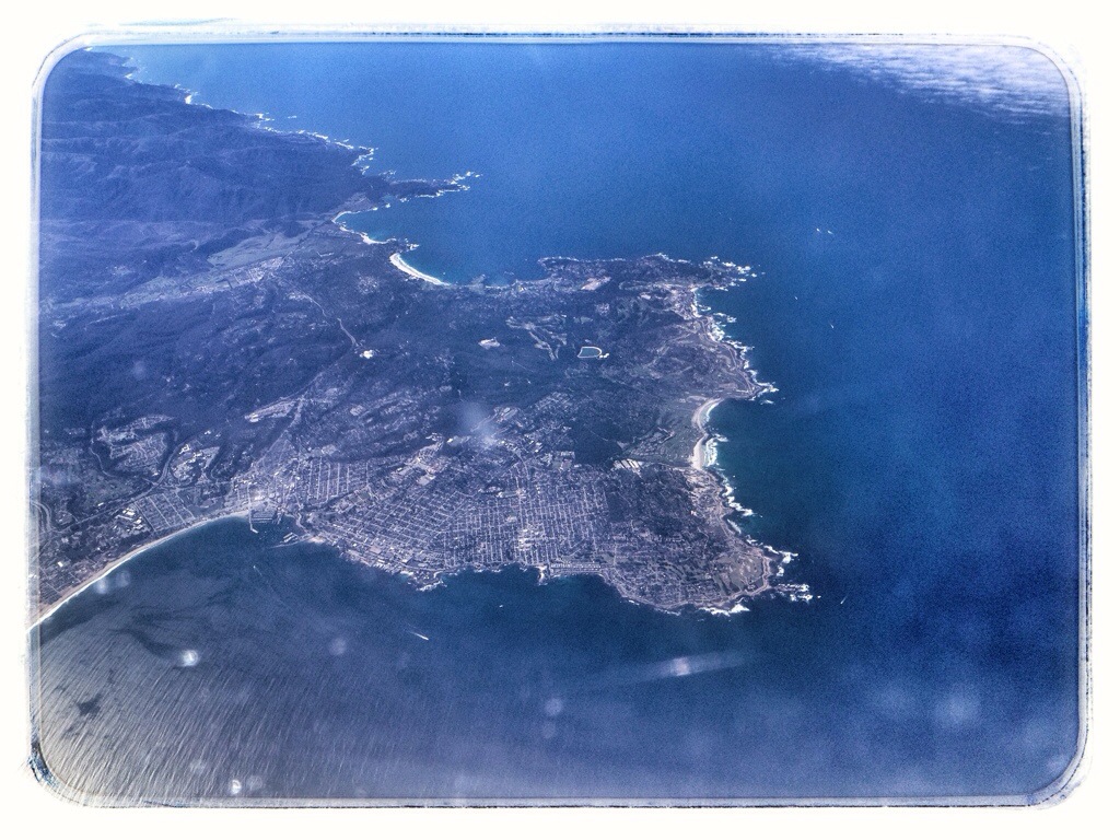
The Monterey Peninsula. Pebble Beach Golf Course is vaguely discernible along the cove on the far side. The communities in the foreground are Pacific Grove and Monterey.
I wish I could have switched sides of the plane at this point, but it was full. We flew out over Monterey Bay, then crossed over land again at Santa Cruz, visible at the bottom of this shot.
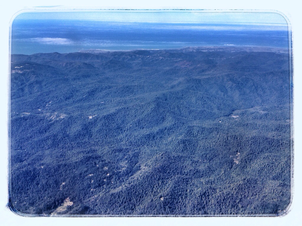
Somewhere over Big Basin Redwoods State Park (I think).
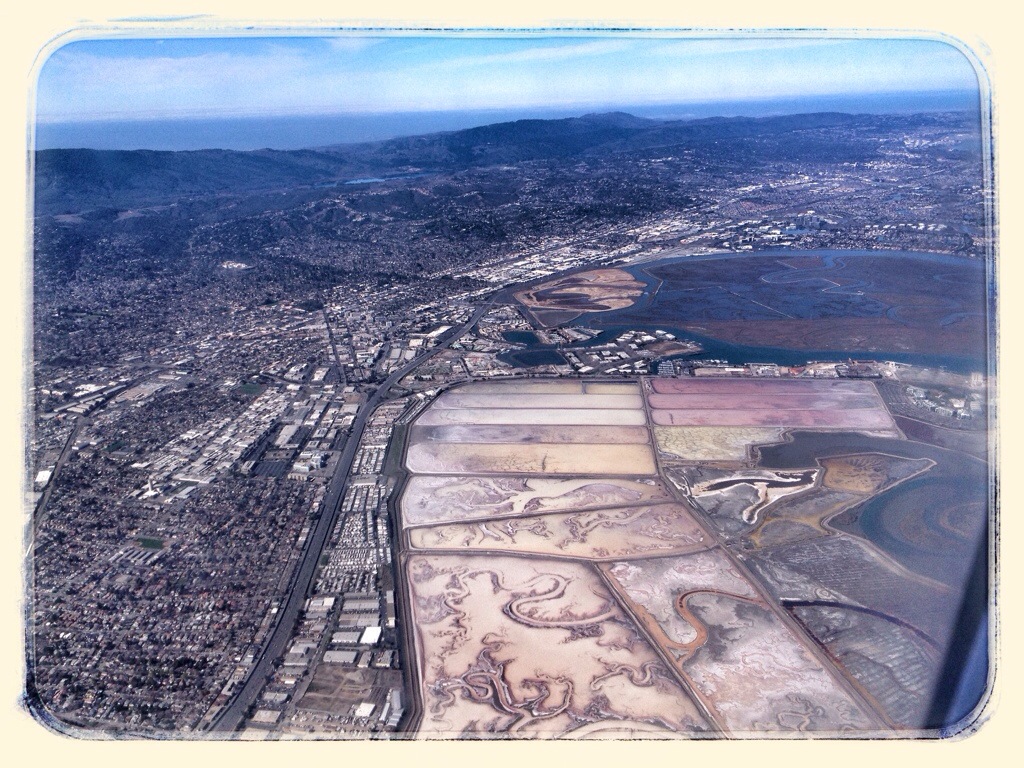
Westpoint Slough in the southern reaches of San Francisco Bay near Redwood City.
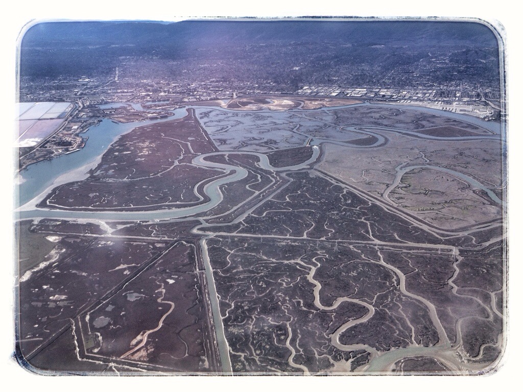
Bair Island in San Francisco Bay, with San Carlos in the distance.
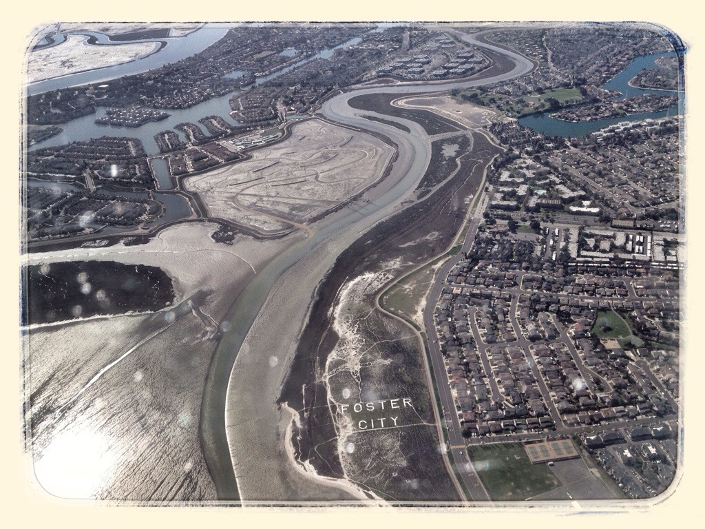
I’m thinking this is Foster City.
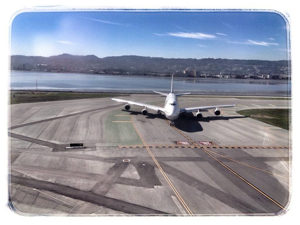
Just before touchdown at San Francisco International Airport.
I had an hour layover in San Francisco, then caught a flight to Chicago. It was much harder to track our progress on this flight because we flew a lot higher and faster. I was on the right side of the plane, looking south.
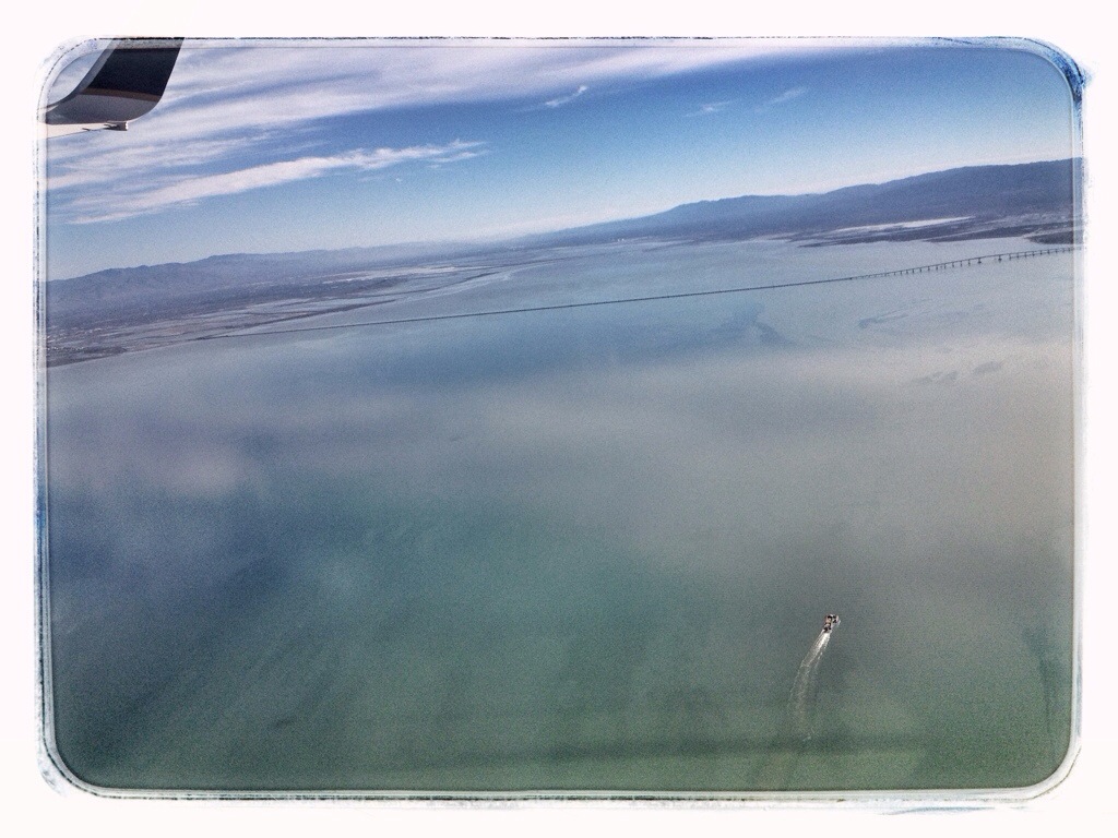
San Francisco Bay with the San Mateo Bridge in the distance.
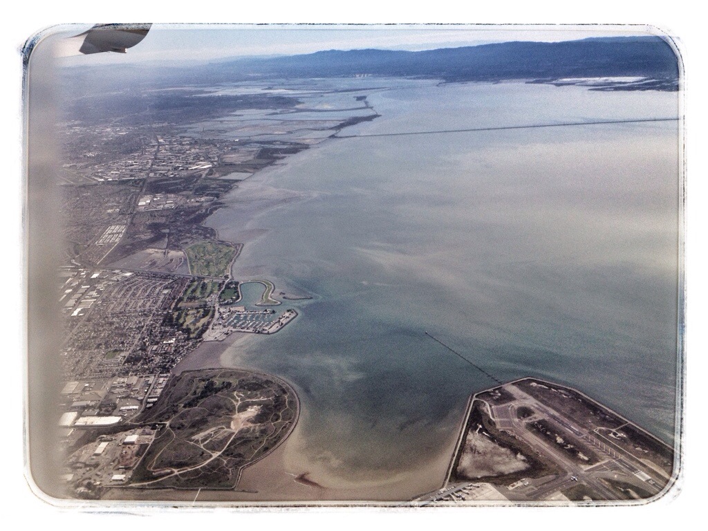
Crossing the eastern shore of San Francisco Bay over San Leandro. Oakland International Airport is in the lower right corner.
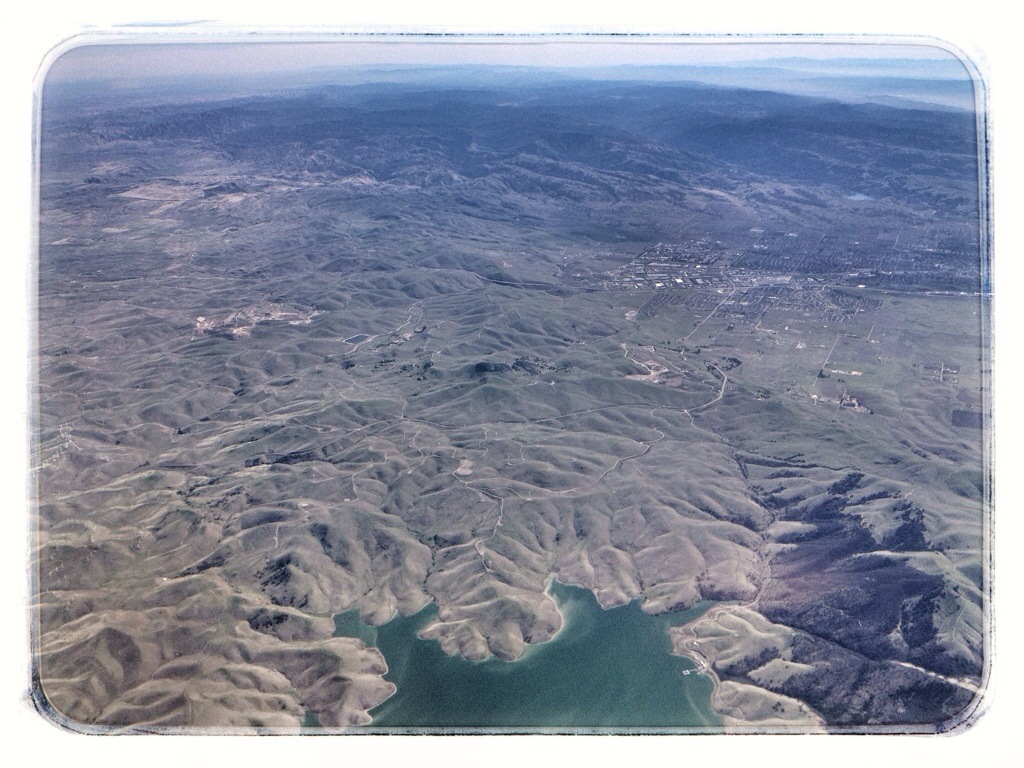
The Los Vaqueros Reservoir with Livermore in the distance.
The body of water in the lower right is called Clifton Court Forebay. The city of Tracy is left of center.
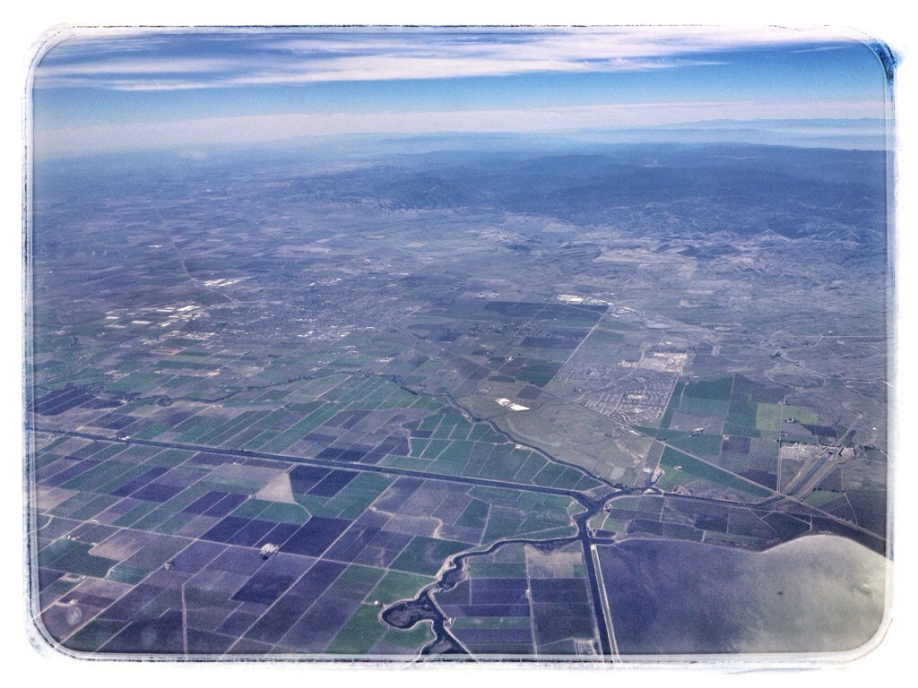
The western edge of the Sierra Nevadas, somewhere around Valley Springs. The body of water at center may be New Hogan Reservoir, but I’m not sure.
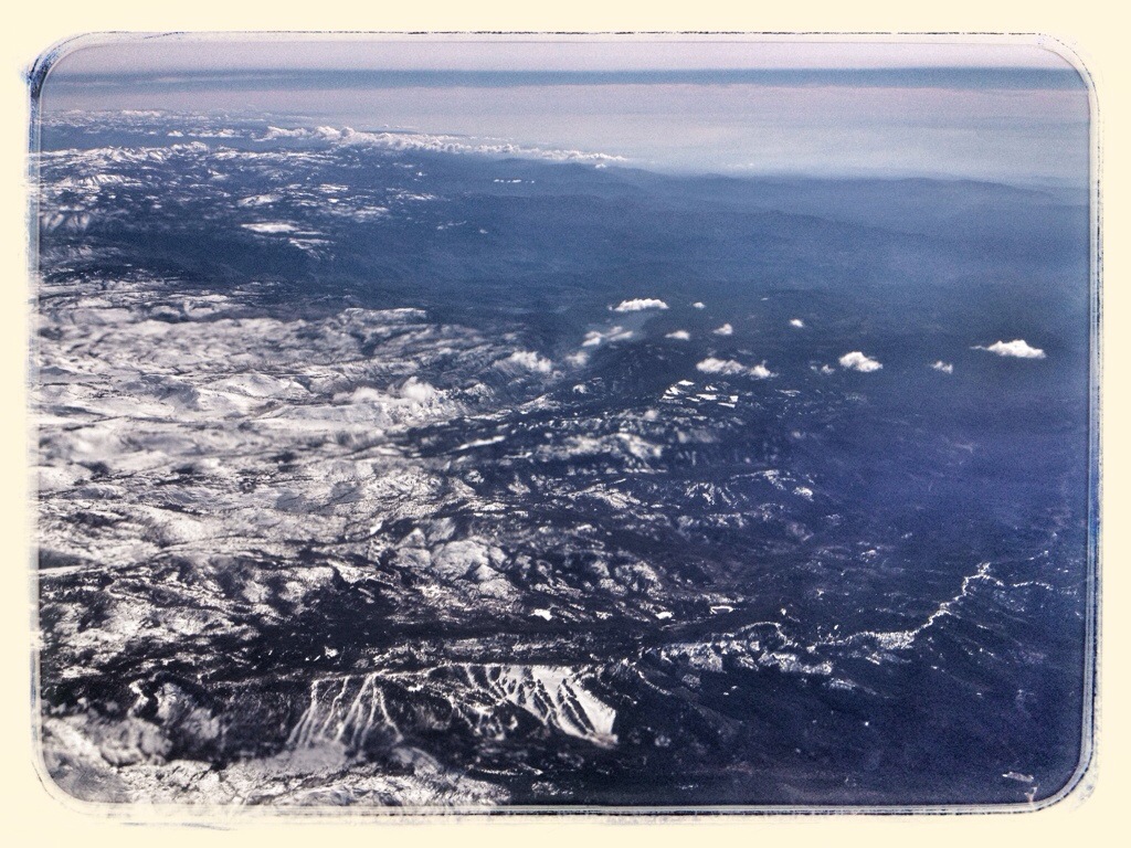
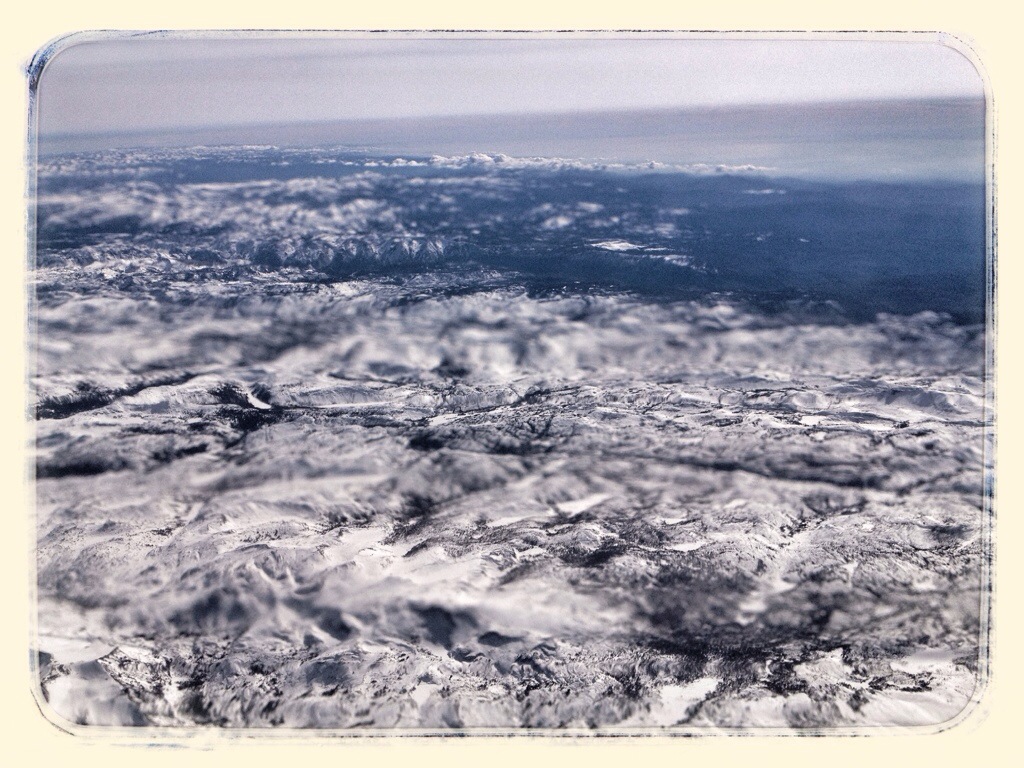
The Sierra Nevadas
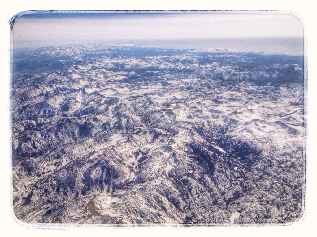
Mono Lake, which means that Yosemite National Park is somewhere on the right.
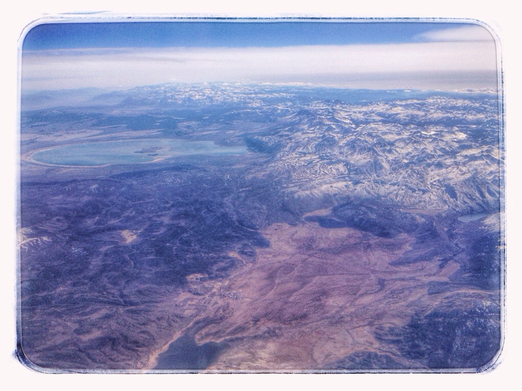
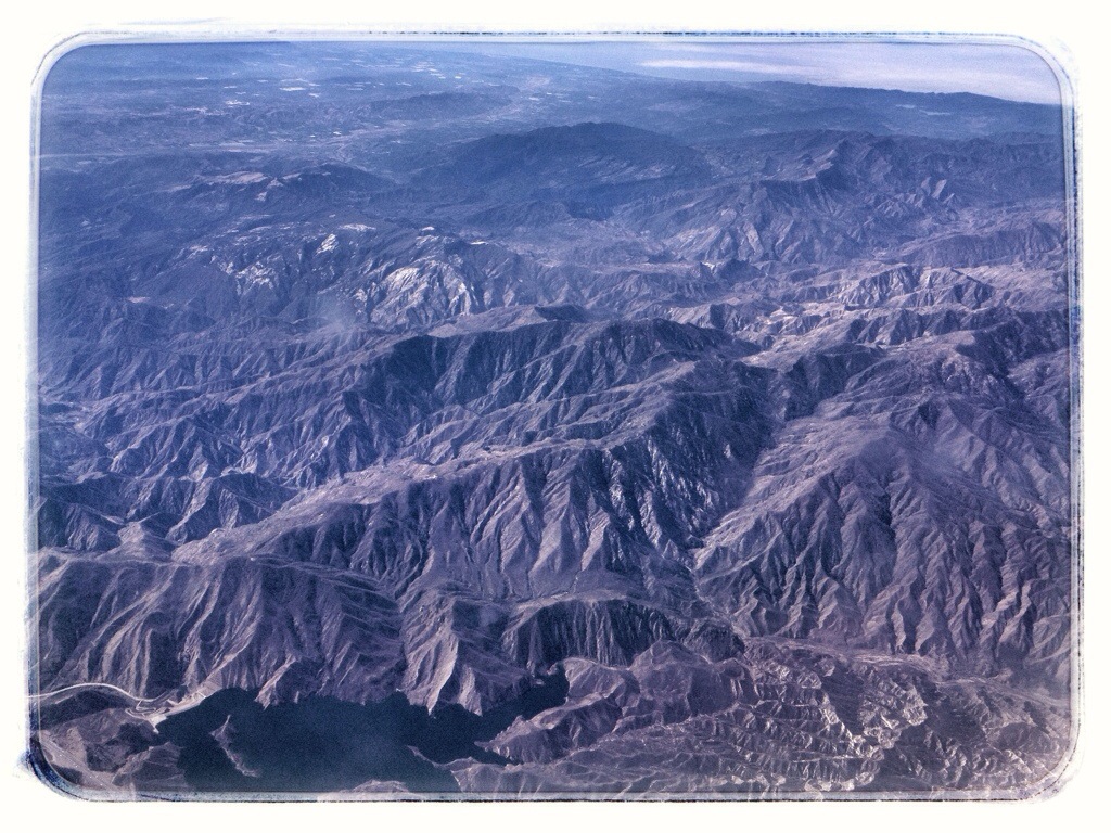
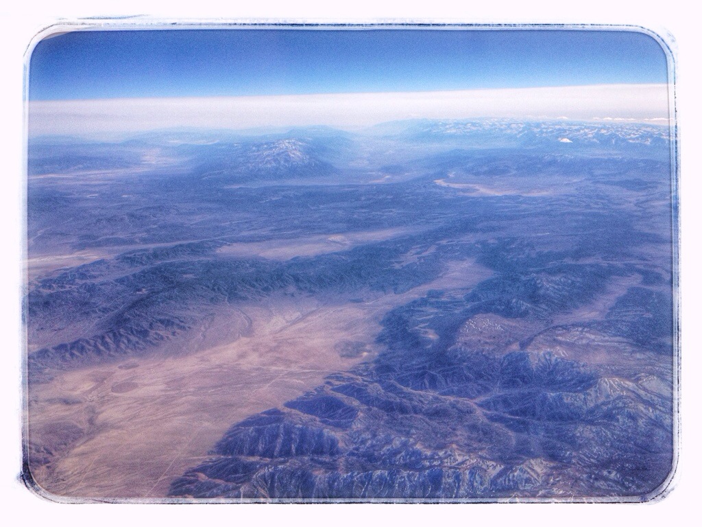
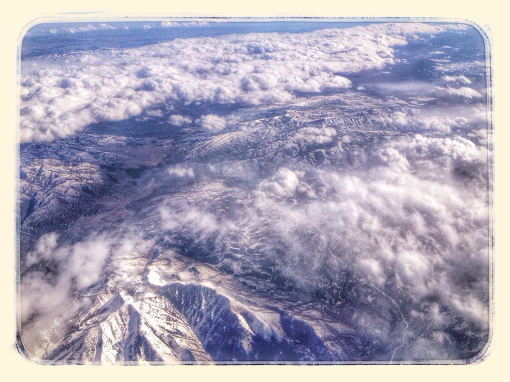
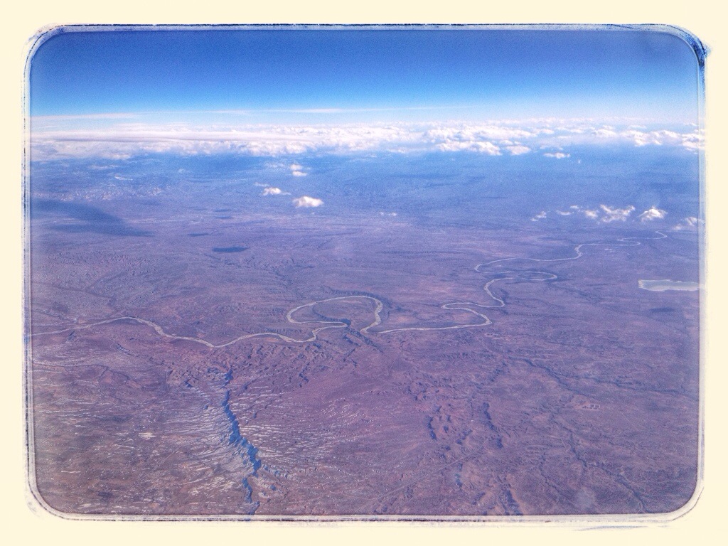
At which point I lose track of where we were.
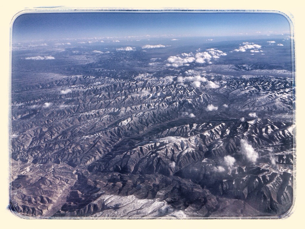
After we crossed the Rockies, it clouded over and I watched a movie on my iPad. When the sky cleared, it was getting dark.
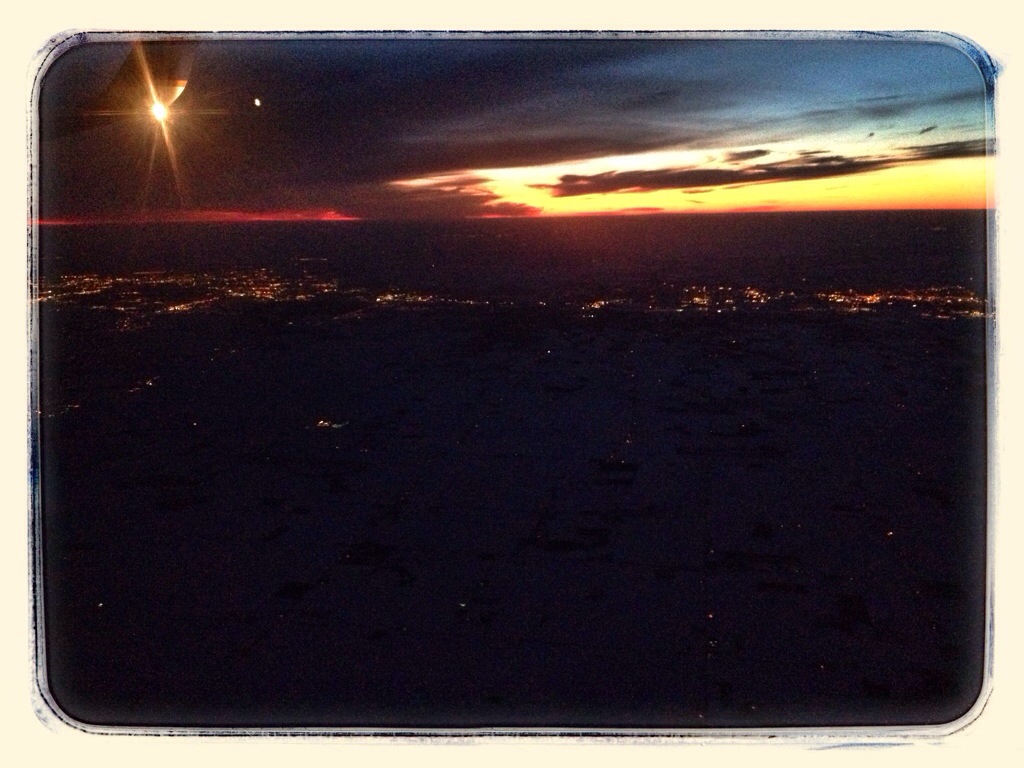
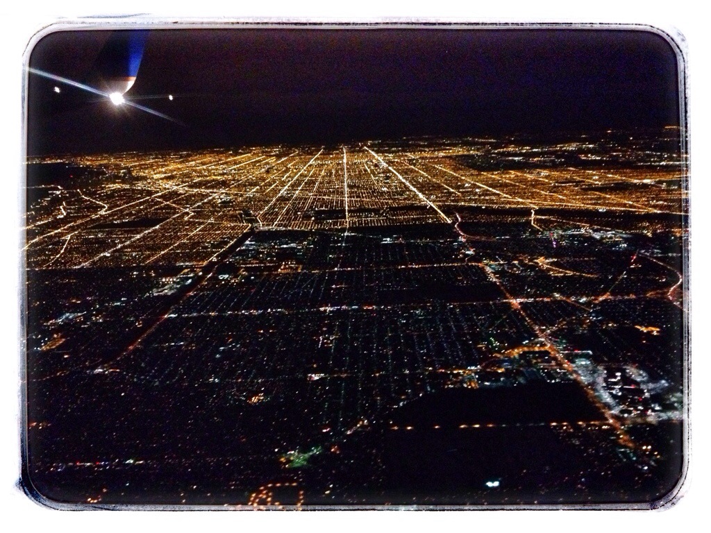
Chicago. Downtown is the dark area below the wing.