Harpers Ferry National Historical Park, West Virginia

From Antietam, in Maryland, we drove a short distance to Harpers Ferry in West Virginia. Our route followed the old Chesapeake and Ohio Canal and ducked through about 300 yards of Virginia

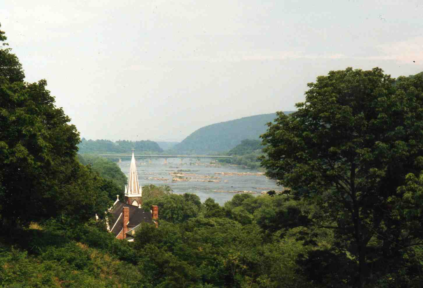
Harpers Ferry was fantastic. There was a huge variety of things to look at both historical and scenic. The town is built on the point of land where the Shenandoah and Potomac Rivers meet and is surrounded by hills. Everywhere you look in the entire town presents a beautiful view.

On the other side of the bridge you can see a brown board extending up the wall with white markings on it, including a mark by the second-story window. These markings show the levels of various floods that have swamped the town over the years.

We wandered up and down every street and went into every building that was open. Some of them were restored to their original function; others had displays.

In this photo, you can see a hole in the ground in the grassy area just beyond the last building. That’s the foundation of the old U.S. Arsenal building that was burned by Federal troops when the abandoned the town at the beginning of the Civil War. One of these buildings was a dry goods store.

We hiked up Bolivar Heights behind the town and found ourselves on a section of the Appalachian Trail.

Thomas Jefferson visited here in 1783 and proclaimed this view “stupendous” and worth a trip across the Atlantic to see. Here’s the view from the rock.
We happened upon a part of the town that wasn’t in the National Park.

This is John Brown’s Fort, where Brown and his followers were captured after their attempt to take over the town and begin a slave revolt. The building was originally the Armory firehouse. After the war, it was shipped to Chicago for the World’s Fair. When only eight people visited it in seven days, it was shipped back and rebuilt on the hill above the town before finally being relocated about 60 yards from its original location.

John Brown’s Fort is on the right in this photo.

We went through that tunnel and across the railroad bridge the top of which can be seen beyond. The tracks cut through a tunnel in the cliff across the river. You can also see a sign for some kind of powder that was painted on the face of the cliff.
Posted in West Virginia | Comments Off on Harpers Ferry National Historical Park, West Virginia

Antietam National Battlefield, Maryland

We spent the night in Hagerstown, Maryland and drove the 15 miles south to the Antietam battlefield early in the day. The tiny museum was underwhelming. The slide show consisted mostly of slides from other Civil War battles and many of them were repeated.  I fell asleep.

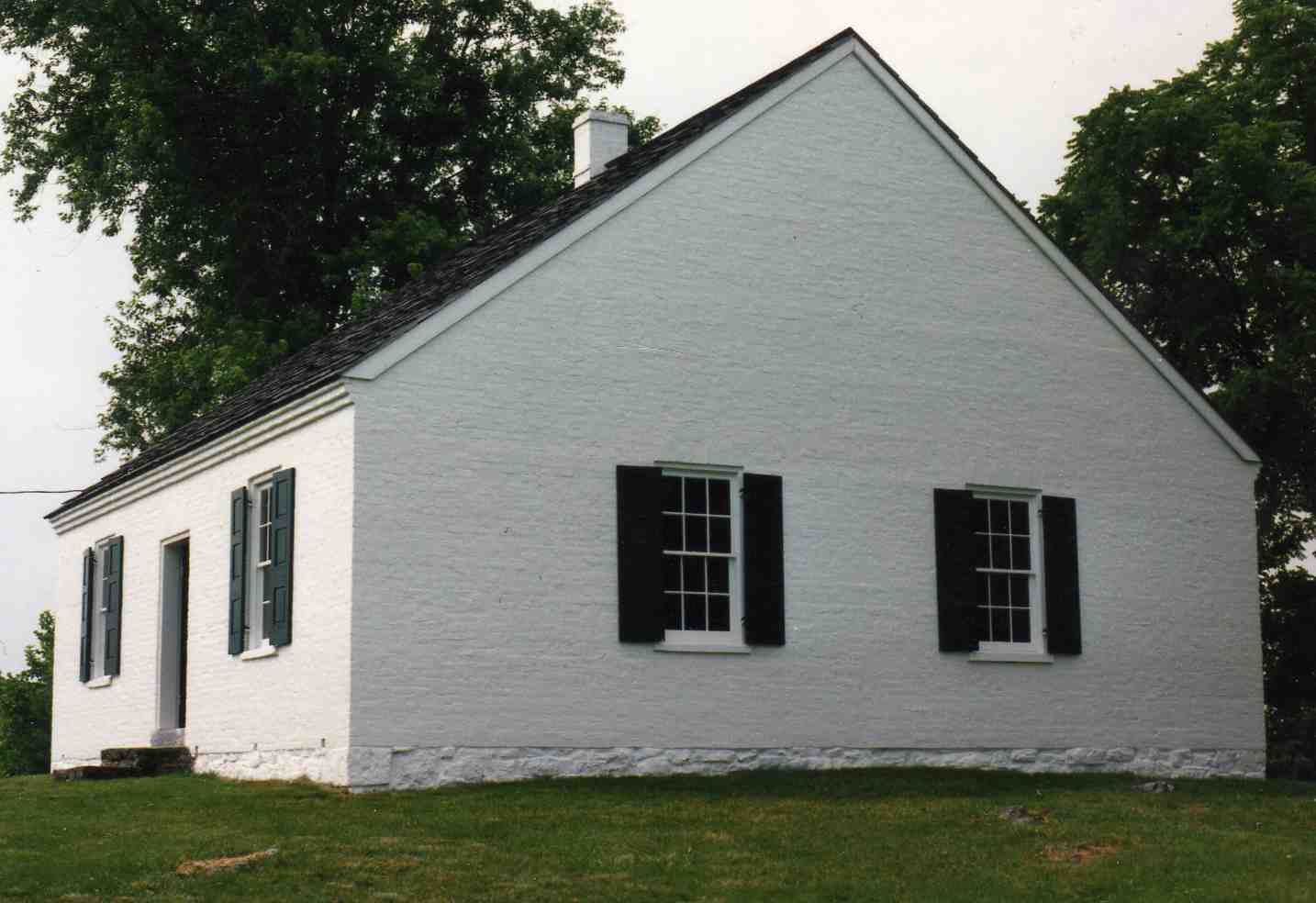
When the others came out, we headed out on the tour route. Our first stop was the Dunker Church where some of the worst fighting took place. The original building blew down in a storm in 1921. This one was built in 1962 using as much of the material from the original as could be saved.

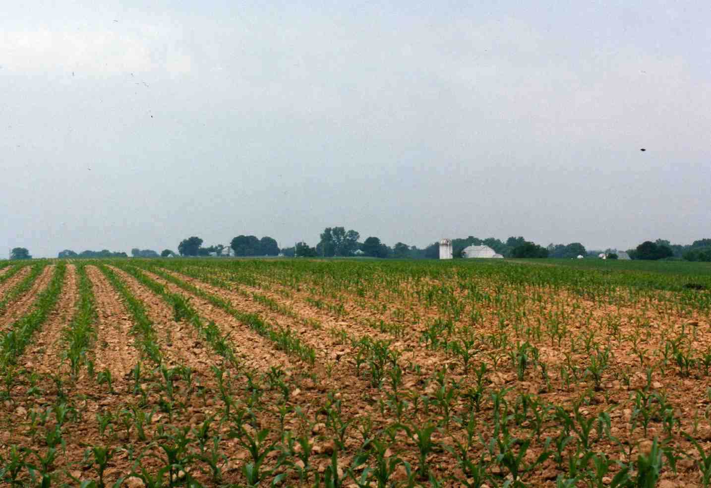
The battlefield, then and now, included a lot of cornfields. I tried to convince my wife that what we were looking at was interesting, but she kept saying, “It’s just a cornfield.” I tried to explain to her that it wasn’t just “a” cornfield — it was THE cornfield, but she wasn’t impressed.

This sunken road came to be known as Bloody Lane after the battle because of the hundreds of Confederate soldiers who died there — so many that a person could walk the length of the lane on the bodies (if a person wanted to).

There was a tower that looked down the length of the lane.

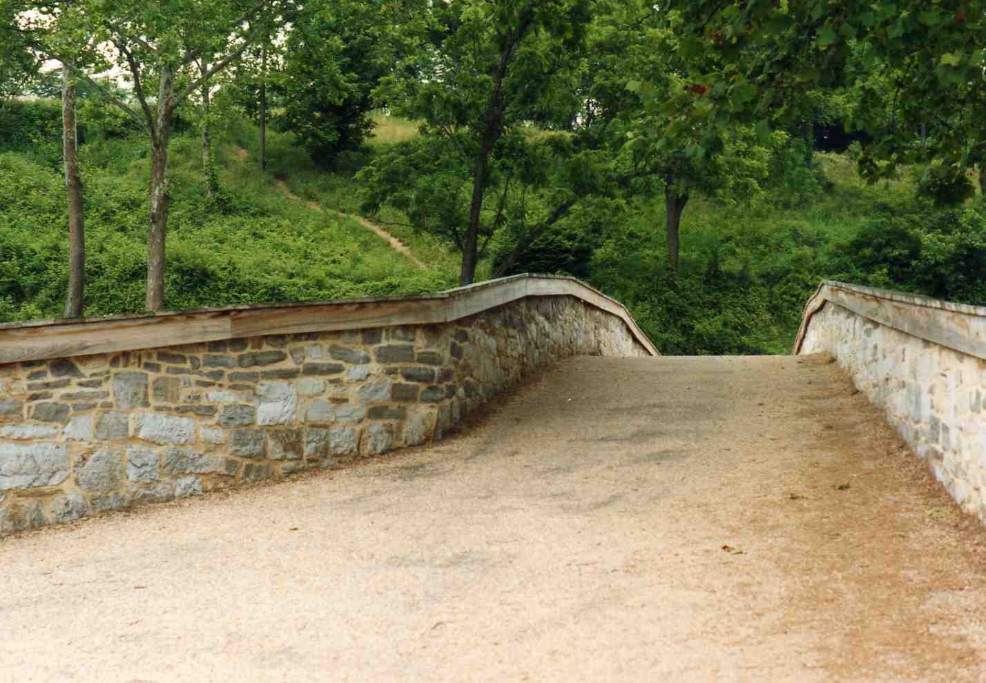
We drove to Burnside Bridge, where 400 Confederates held off an entire Union corps for most of the day. We walked down the hill and crossed the bridge.

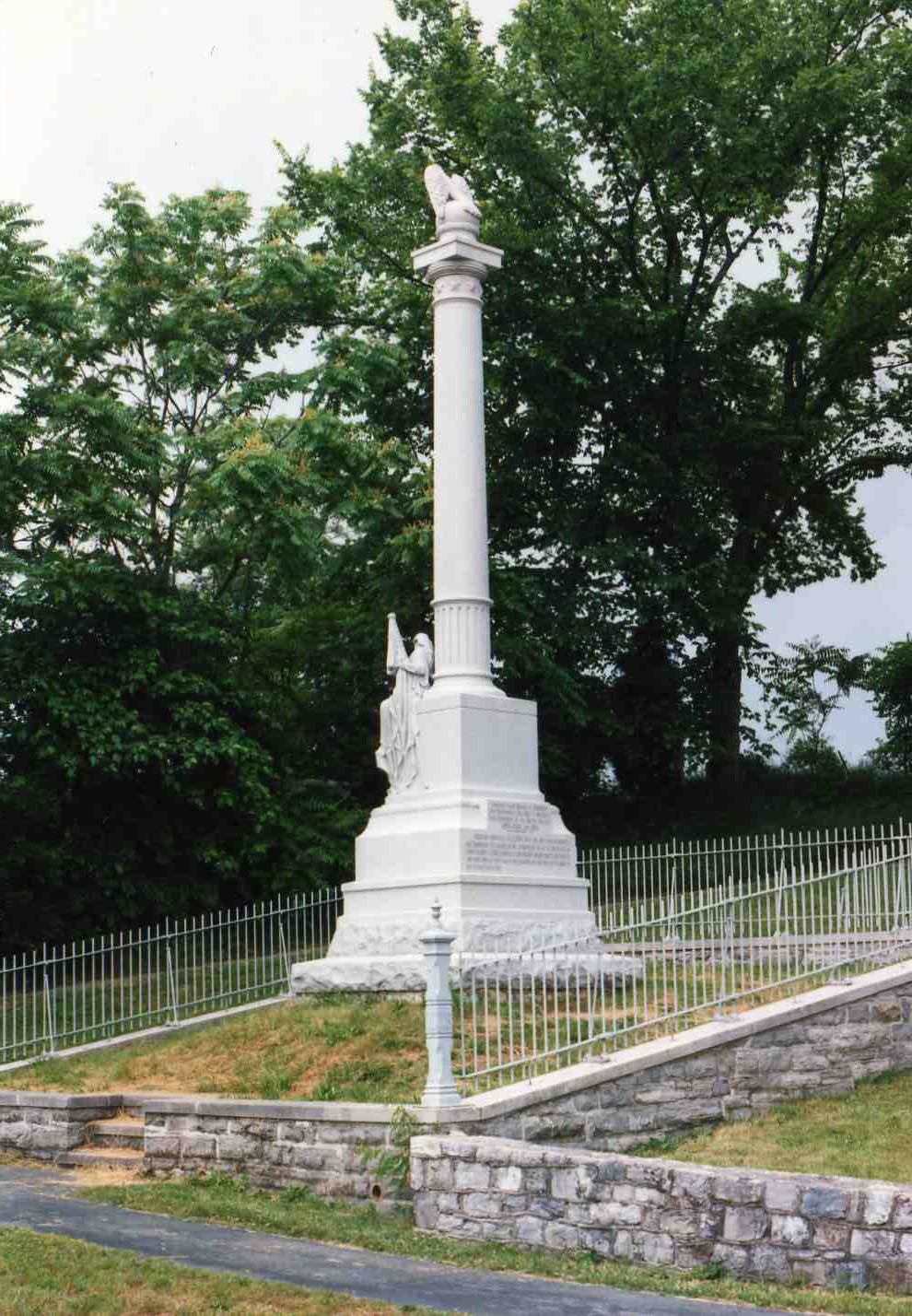
On the slope above the bridge, there was a monument to William McKinley.

It says:

WILLIAM McKINLEY
January 29, 1843 – September 14, 1901

Fourteen Years Member of Congress

Twice Governor of Ohio 1892-3 and 1894-5

Twice President of United States
1897 – 1900 – 1901

Sergeant McKinley Co. E. 23rd Ohio Vol. Infantry, while in charge of the Commissary Department, on the afternoon of the day of the battle of Antietam, September 17, 1862, personally and without orders served “hot coffee” and “warm food” to every man in the Regiment, on this spot and in doing so had to pass under fire.

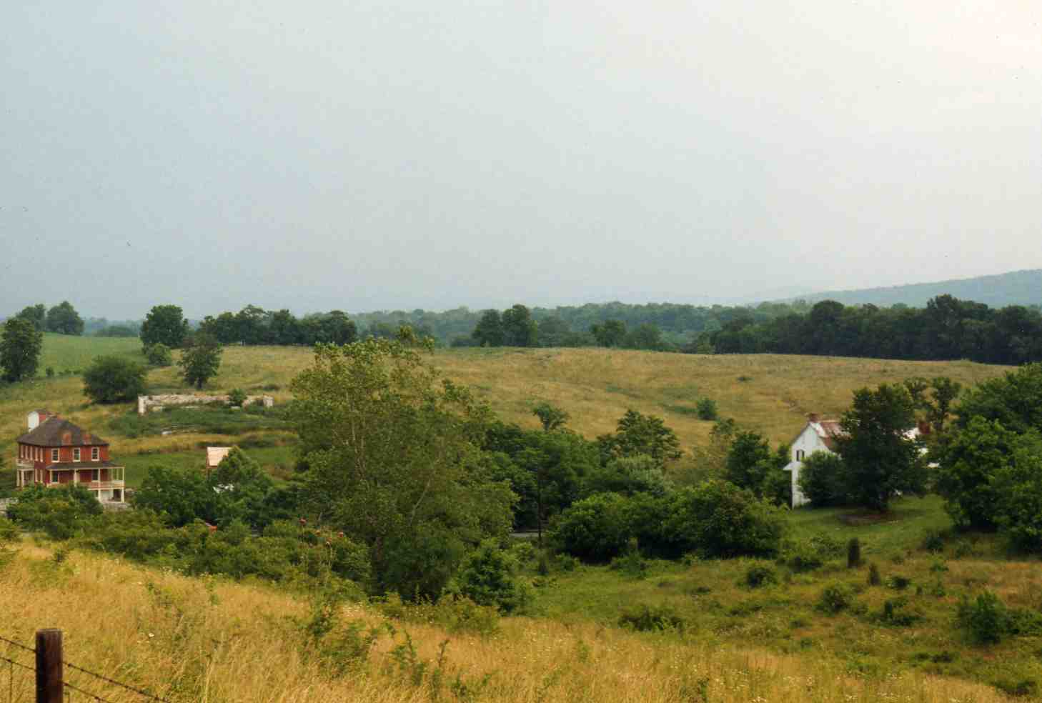
We made one last stop, an overlook above the area where the battle ended. The two houses in this photo were there during the war.

Posted in Maryland | Comments Off on Antietam National Battlefield, Maryland

Gettysburg National Military Park, Pennsylvania

After we toured Eisenhower’s house we toured the battlefield. The rest of my family planned on spending the afternoon shopping, and I planned to tour the battlefield again, so we didn’t stop often or take very long. We were surprised by how dilapidated the town of Gettysburg was. It looked like its heyday was 20 years ago, and it even had a slum. We walked up the Oak Ridge observation tower, wandered around Little Round Top (above) for a bit and pulled over on Culp’s Hill to rescue a turtle that was walking across the road.

When we got back to the visitor center, we did a quick tour of the museum, then split up. I ate a quick lunch at McDonald’s, then headed to the Cyclorama. The painting was interesting, but the narration was minimal. It was a big disappointment compared to the one in Atlanta.

I walked around the High Water Mark tour where the Union Army stopped Pickett’s Charge. I noticed something that held true all day. The visitor center was packed, the roads were lined with slow-moving cars, but as soon as I wandered 10 yards off the road I was alone. There was nobody wandering through the fields or even along the trails. The only place all day that I saw anybody off the beaten track was at Devil’s Den, and that was just kids climbing rocks.

I walked to Meade’s Headquarters, then climbed Cemetery Ridge past Meade’s statue to the High Water Mark. There was an Eastern Bluebird perched on top of his head, which looked comical.

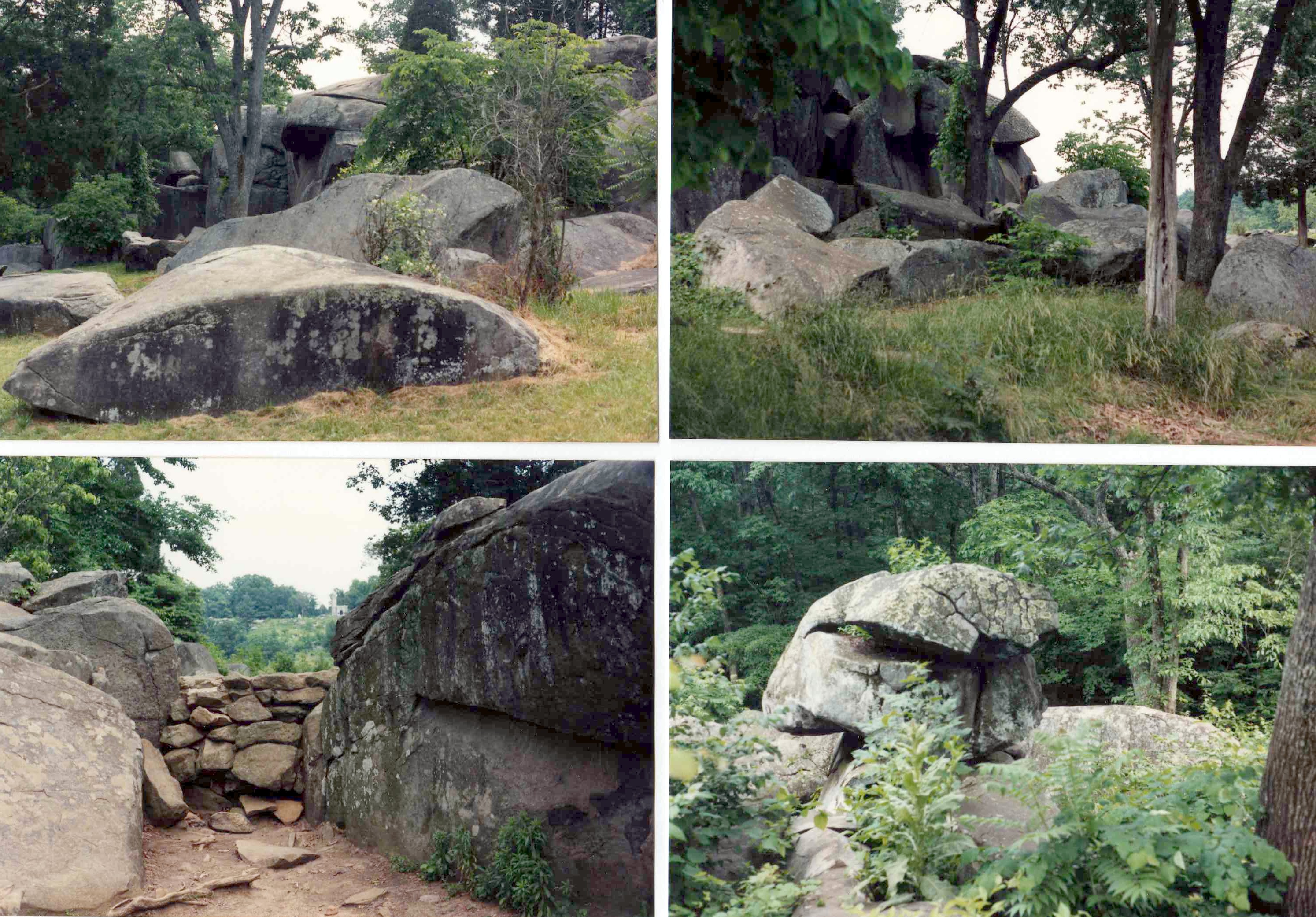
I got back in the car and drove to the Warfield Ridge observation tower, then stopped at Devil’s Den and climbed around on the rocks. It was hard to imagine a battle in this area — it was filled with crannies and hidden holes that snipers could hide in. I heard that just a few years before our visit somebody had found a Civil War backpack, full of stuff and in good shape, tucked way back in one of the crevices.

I was distracted by a Pileated Woodpecker that flew into the woods nearby. I tracked it down and took some video, then met my family at the National Tower. The displays in the tower were worn and often irrelevant. The view was nice, but not great. We stayed about 20 minutes, then headed down, vowing never to return. (And since it has since been torn down, we never will.)

My family gave up at this point and headed back to our hotel in Hagerstown. I wasn’t about to leave while there was still light. I went into high-speed mode. I drove to the East Cavalry Battlefield Site and saw … a field. There were no signs. In fact, the entire park was woefully short of interpretive signs. Most other battlefields I’ve been to do a much better job. The one thing I didn’t do was pay much attention to the hundreds of statues and monuments that were everywhere. But these four caught my eye. Top left: Robert E. Lee on the Virginia Monument on Seminary Ridge. Top right: John Burns, a Gettysburg civilian who grabbed his rifle and fought with the Union army. Bottom left: The Soldiers’ National Monument. Bottom right: ?

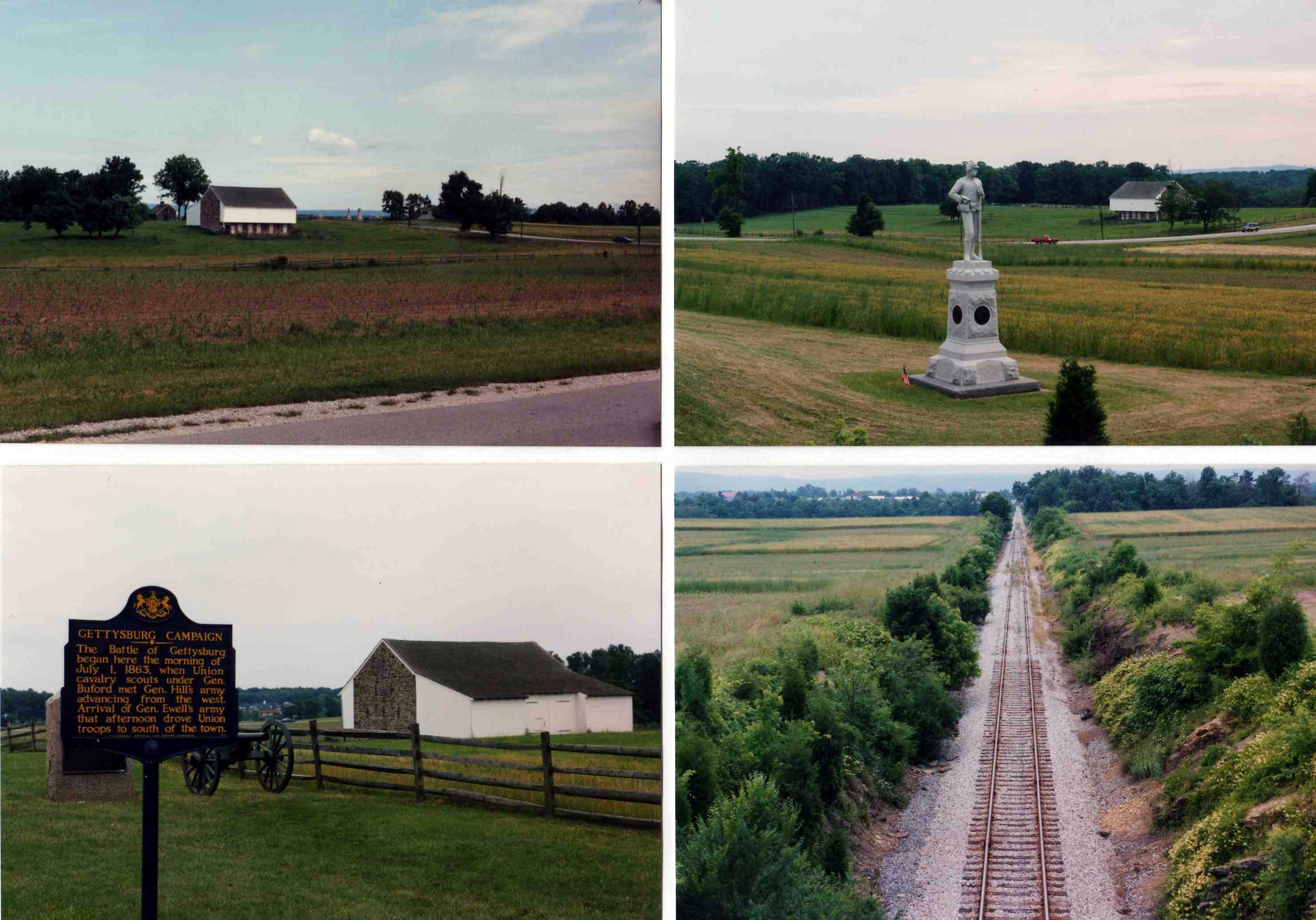
I headed back to the north side of town, to Barlow’s Knoll, the Railroad Cut, McPherson’s farm (where the battle began), the Peach Orchard, the Wheat Field, Lee’s statue …

It was getting close to dark and I had time to choose one last spot. I headed for the National Cemetery. It was empty. I saw the Soldier’s National Monument, located where Lincoln gave his address. I found the Evergreen Cemetery gatehouse and wandered around the north end of Cemetery Hill. I headed back through the cemetery looking at graves of soldiers who have died in other wars and stopped at the Gettysburg Address monument before heading back to the hotel. I stopped at Hardy’s for supper and got back to my family at 10:00 pm after a long, tiring but satisfying day. But I want to go back.

Posted in Pennsylvania | Comments Off on Gettysburg National Military Park, Pennsylvania

Eisenhower National Historic Site, Pennsylvania

We spent the night of the 22nd in Hagerstown, Maryland and this day in and around Gettysburg. We arrived at the battlefield visitor center four minutes after it opened and paid to take the first guided tour of Eisenhower National Historic Site, which is on the edge of the battlefield. We had to take a shuttle bus, and it took about five minutes to get there.

The Eisenhowers lived on a very pretty farm in a very pretty area. They were not pretentious — the fancy stuff, most of it gifts, was all gathered in two rooms. The rest of the house is decorated much the way I might do it. We could get a good feel for the family — Mamie just died in 1979 and very little has changed.

The living room with a marble mantelpiece believed to have been removed from the White House during a 19th-century remodeling.

The dining room, with furniture purchased by the Eisenhowers in 1927. Visitors to this house include Nikita Khrushchev, Bernard Montgomery, Winston Churchill, Charles De Gaulle, and me.

The back porch where Ike and Mamie spent most of their time and where Ike did most of his painting. The window looks out across the rose garden and farm fields to the woods on the battlefield.

The den, which is decorated with materials salvaged from the house when the Eisenhowers built on a large addition.

We spent about half an hour touring the grounds and house. One of the tour stops marked on the map was a Secret Service guardhouse from the 1970’s. All that was there was a sign that said, “This exhibit has been removed. Please continue to the next stop.” There was no other explanation. I thought that was pretty secret of the Secret Service.

The front of the house

The back of the house

Ike’s personal putting green. An observation tower on the battlefield can be seen in the left distance.

We looked at the few exhibits in the reception center, then boarded the bus back to the battlefield visitor center.

Posted in Pennsylvania | Comments Off on Eisenhower National Historic Site, Pennsylvania

Fort Roberdeau — Sinking Valley, Pennsylvania

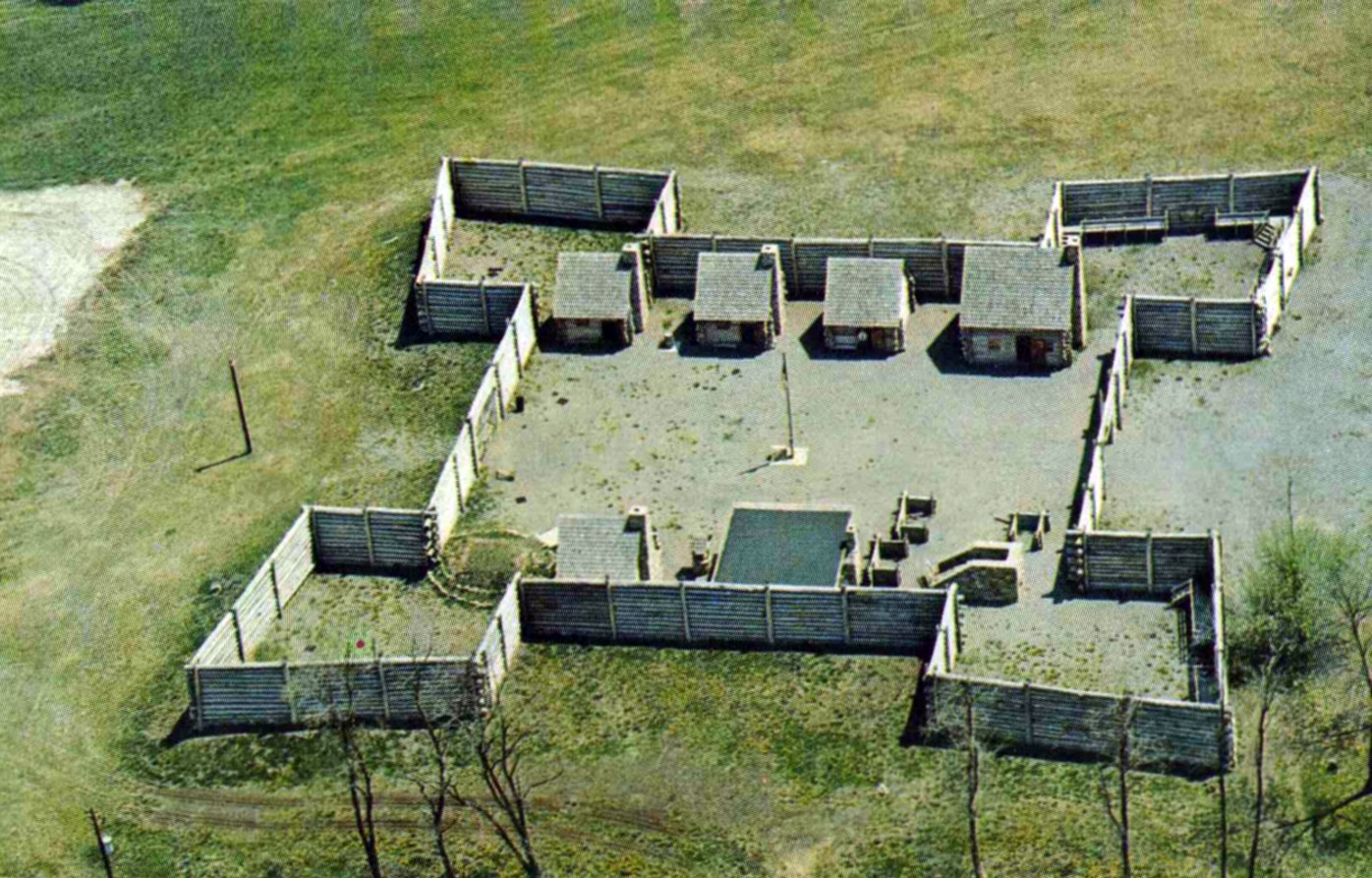
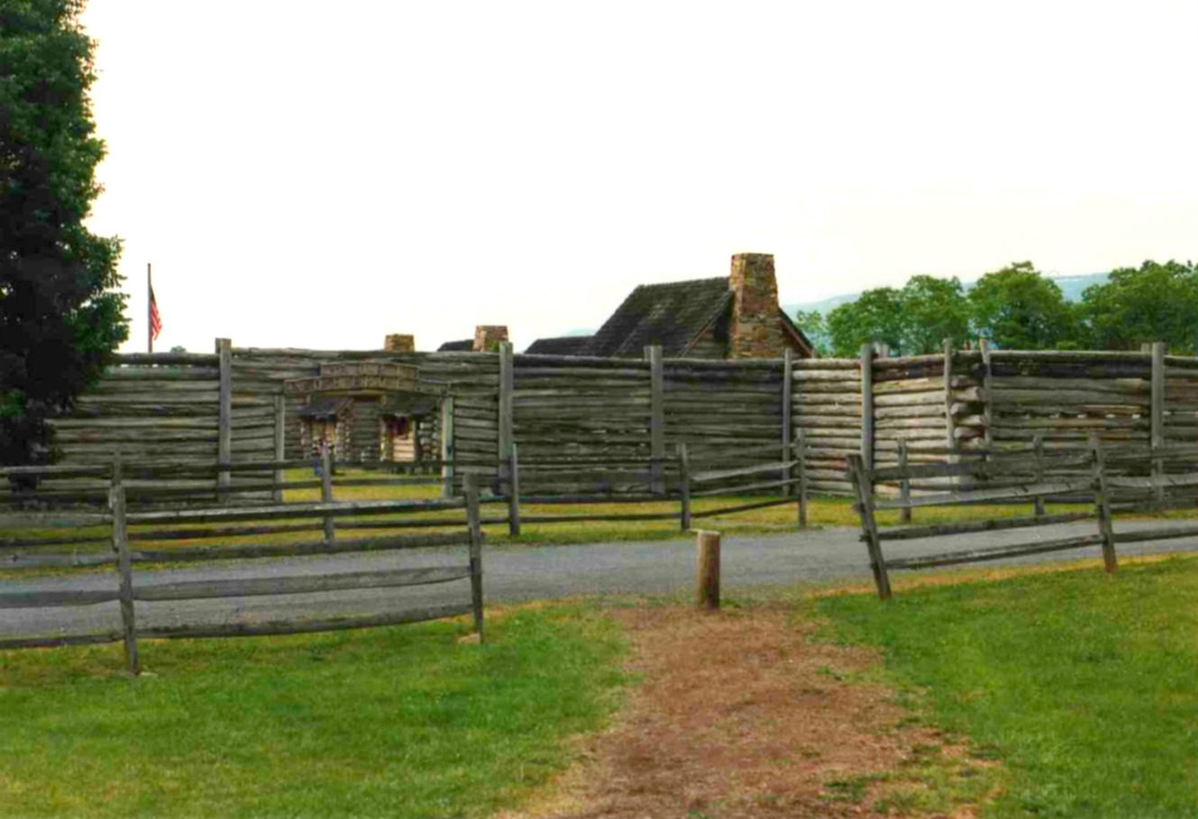
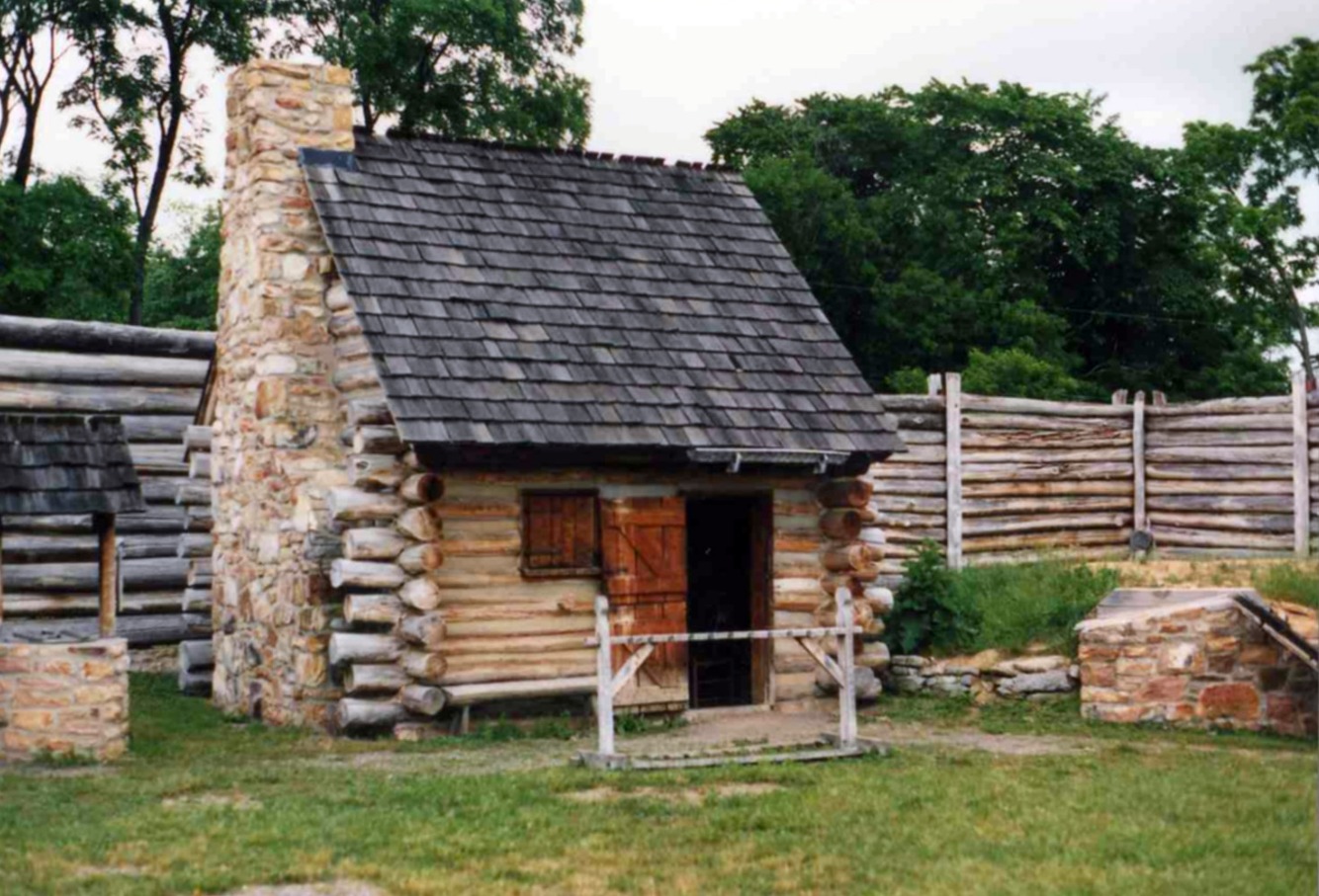
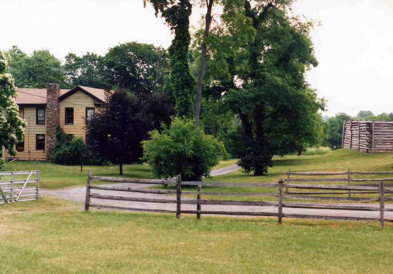
Fort Roberdeau has been reconstructed (in 1976 for the Bicentennial), a barn has become the visitor center and a house, now owned by the state of Pennsylvania, is the site of a archaeological dig. The fort was built to protect miners who were gathering lead for the Continental Army. Indians, backed by the British, were active in the area. Some settlers in the valley were killed, but the fort itself never saw any action.

It isn’t a large fort. There are six small buildings, a powder magazine and an iron-smelting furnace.  (The house is just out of sight in the foreground of the postcard view above.)

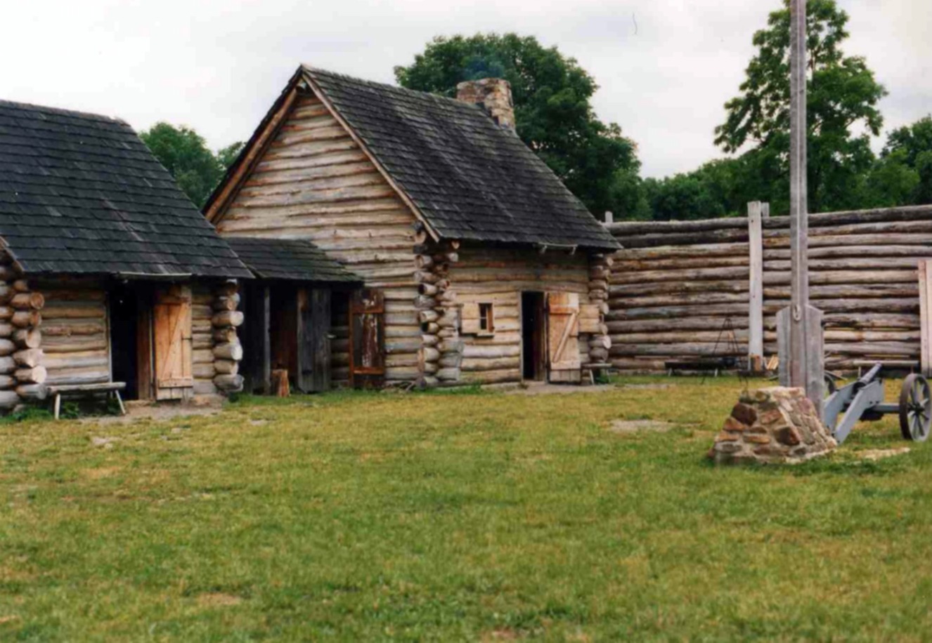
Here’s the officers’ quarters and store room.

The kitchen and entrance to the powder magazine

A woman dressed in period costume explained the history of the fort. We watched a man dressed in buckskin give a demonstration of musket firing. When he finished, we began asking him questions. It quickly became apparent that this was no rocket scientist. He just kinda stared at us, then asked if we wanted to see his demonstration again. Another man stepped in and gave some intelligent answers.

I asked him how much of the fort was original. This is what he told us: During the war, there was a fort in Sinking Valley named Fort Roberdeau. It was built in April of 1778 and abandoned in the fall of 1779. Nobody is quite sure what it looked like. There is a crude line drawing of the front that somebody drew at the time, and the reconstruction is based on that. Neither is anybody quite sure where the fort was located. It was rebuilt where it is because a pit, which may have been the powder magazine, was found here. A foundation for a reconstruction was laid in 1939. The man told us that it is entirely possible that the house was built on the site of the original fort. So we have a fort that may or may not look like the original, on what may or may not be the right spot, and which wasn’t very significant in the first place.

We walked over to the house. The man said they’ve dug a few thousand Revolutionary War-era artifacts out of the driveway.

Posted in Pennsylvania | Comments Off on Fort Roberdeau — Sinking Valley, Pennsylvania