Sequoyah’s Cabin

On my way to Honey Springs Battlefield, I passed a sign near Sallisaw, Oklahoma, that pointed the way to Sequoyah’s Cabin. I decided to stop in if I had time on the way back to Devil’s Den. It was a little after noon when I made it back to the area, so I stopped.

Sequoyah was half Cherokee, half White — he was also known as George Gist. He was born in Tennessee around 1770 and moved from there to Alabama in the early 1800s. While there, he worked as a metalsmith and created a syllabary of the Cherokee language (in which symbols stand for syllables). The syllabary was adopted quickly and is still in use in some areas. He later moved to Arkansas and then to Indian Territory where he built the house that still stands on this site. He spent the later part of his life trying to reconcile the factions of the Cherokee nation that had split over the selling of their lands in the East.

An addition was built on the cabin at some point. When it was preserved, the addition was removed and the logs were used to build a small visitor center on the site. The original, restored cabin was enclosed in a stone building by the WPA in 1936. The man in the visitor center was very nice and explained how the language worked.

IMG_1076

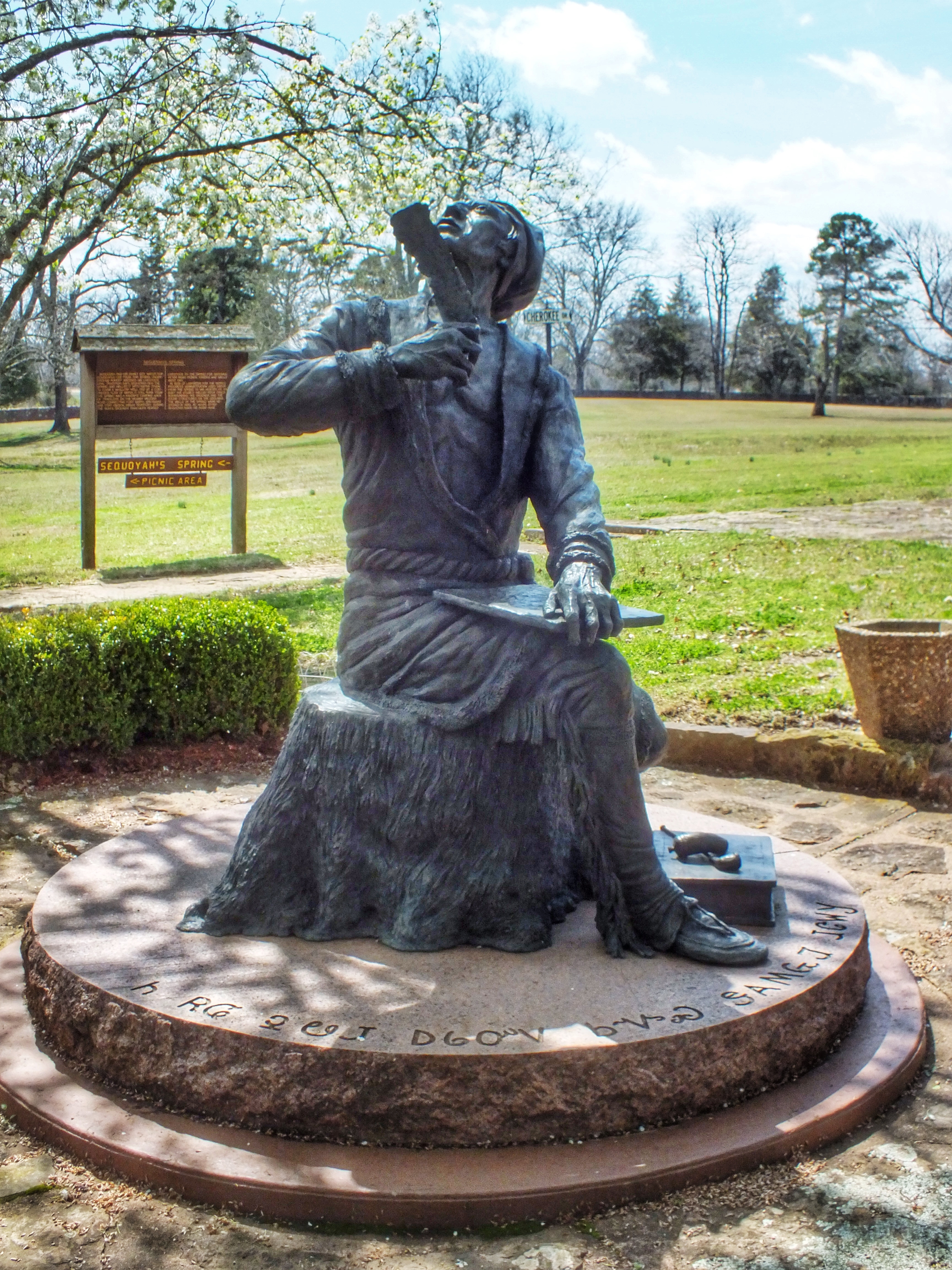
A statue of Sequoyah. He was lame for much of his life, but nobody knows why.
IMG_1083

A small fountain honoring Sequoyah as an Army veteran of the War of 1812.

IMG_1079

The WPA building that houses the cabin.

IMG_1089

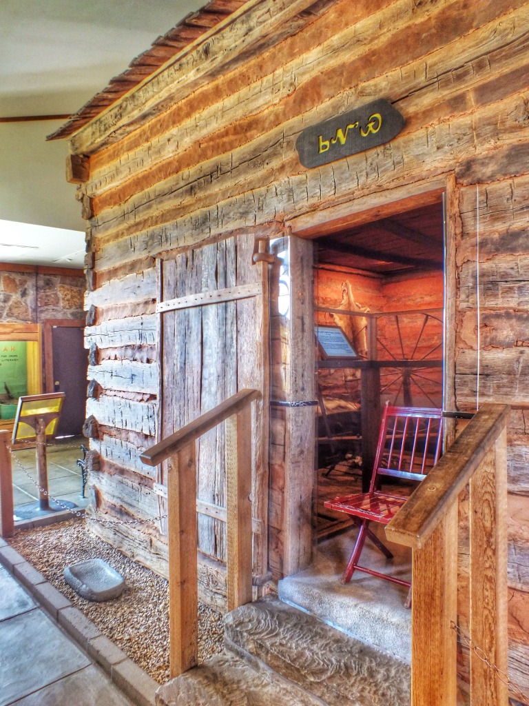
The cabin inside the WPA building.

IMG_0878

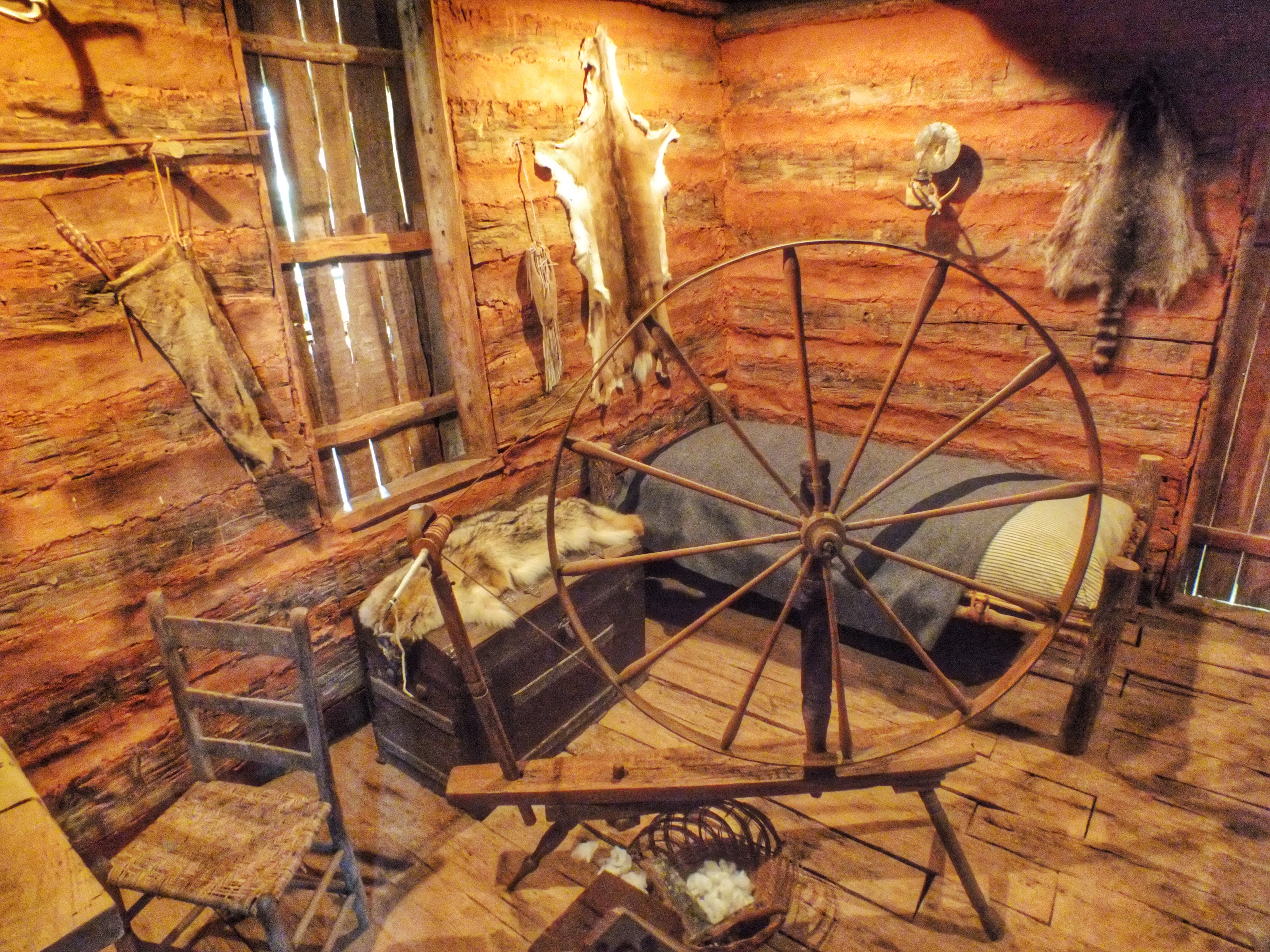
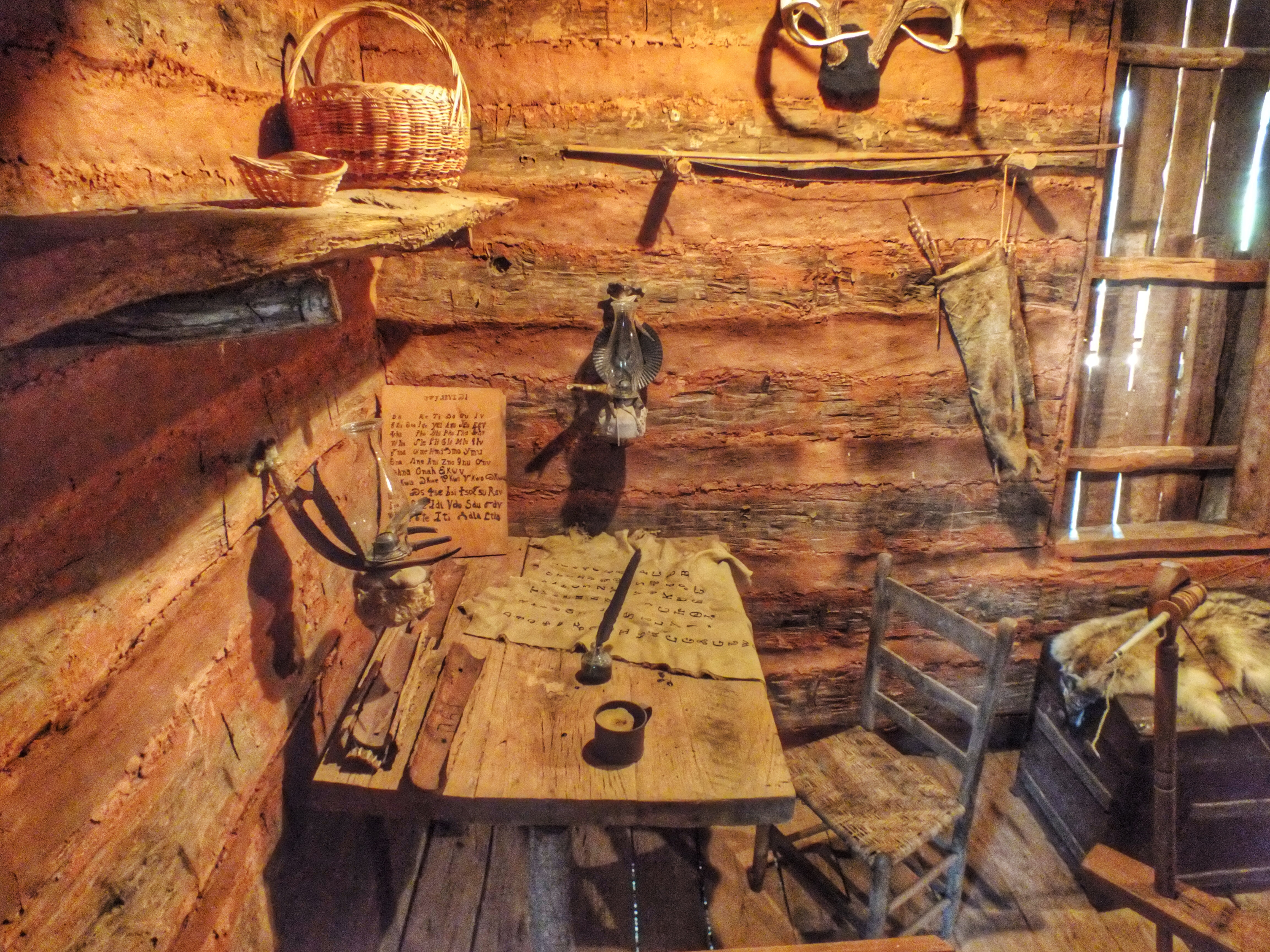
Inside the cabin. Nothing is authentic except the spinning wheel which was owned by Sequoyah’s wife. It is thought that he may have made the metal parts in his blacksmith shop.
IMG_1082

IMG_1097

IMG_1096

IMG_0879-768x1024

Not a lot is known about Sequoyah, and there isn’t a great deal to see here. I wouldn’t recommend a special trip to visit, but if you happen to be in the immediate area, it’s an interesting way to spend a half hour.
Posted in Oklahoma | Comments Off on Sequoyah’s Cabin

Honey Springs Battlefield

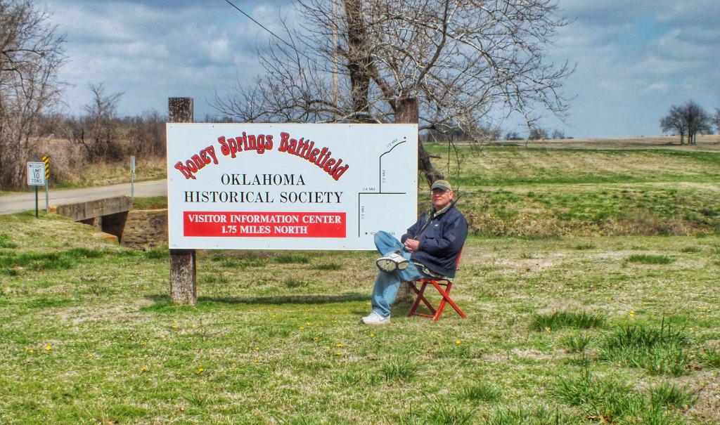
Some people relax by sitting around. I relax by exploring. After three days of relative inactivity, I was ready to explore. I headed off into Oklahoma by myself to visit Honey Springs Battlefield, a Civil War site in McIntosh County.

IMG_0880-1024x605

The history, in short, was this. The Union Army, under Major General Blunt, occupied Fort Gibson, on the Arkansas River near present-day Muskogee. The Confederates, under Brigadier General Cooper,  were gathering a force by the supply depot at Honey Springs, about 20 miles to the south, intending to attack the fort. Blunt decided to ward off the attack aggressively and marched 3,000 soldiers south to meet Cooper’s 5,000 Confederates. The battle took place on July 17, 1863. The fighting was fierce, but eventually the Union army prevailed. I read somewhere that the Confederate powder was wet from the steady rain that was falling. In another place, I read that the Confederates mistook a Federal line adjustment for a retreat and attacked, only to be beaten back and begin a general retreat. The fighting occurred along the Texas Road, then near a bridge across Elk Creek and then on a ridge a mile or so to the south. The Confederate Army was broken and retreated. The Union Army stopped the pursuit because the soldiers were fatigued by the march from Fort Gibson and the fighting. The Federals lost about 17 men killed and 50 wounded, the Confederates 150 dead, 400 wounded and 77 taken prisoner. It was the largest battle in what was then Indian Territory. A notable feature of the battle is that the Confederate Army consisted mostly of Indians and the Union Army mostly of Indians and Black troops from Kansas. White soldiers were a minority in both armies.
It was a cool, brisk, overcast day. I had the entire battlefield to myself the entire time I was there. The interpretive center was closed and looked like it had been for a long time. The descriptive markers along the trails were informative — or they would have been if I could have read them. Most were so worn by time and weather as to be illegible. Six trails lead off the main road to various sections of the field, and I walked all of them.

Trail One — The Federal Bivouac

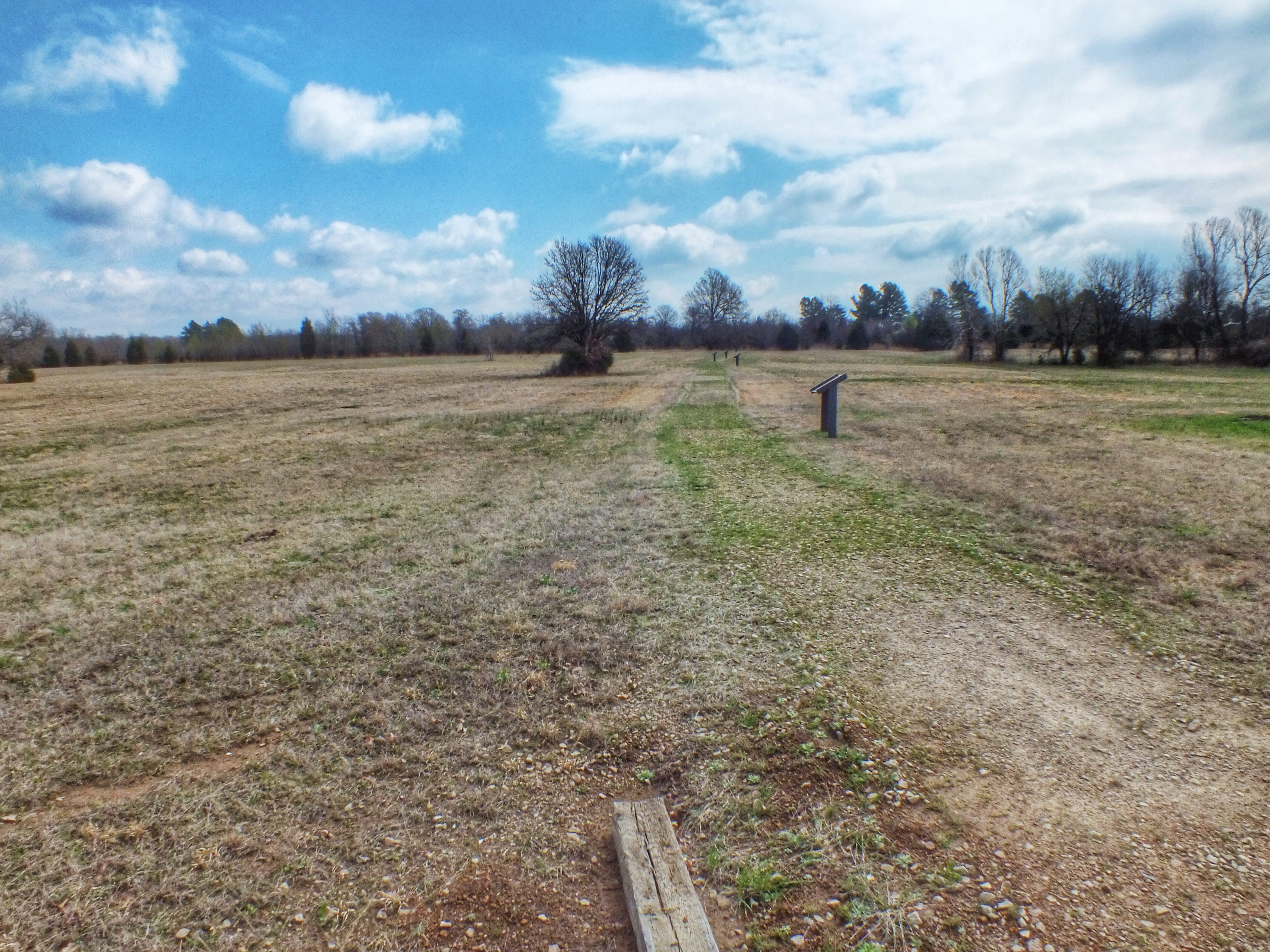
The Union Army stopped to rest and eat in this field about half a mile from where the Confederates waited in the woods.

IMG_1048

IMG_1049

Trail Two — The Battle Begins

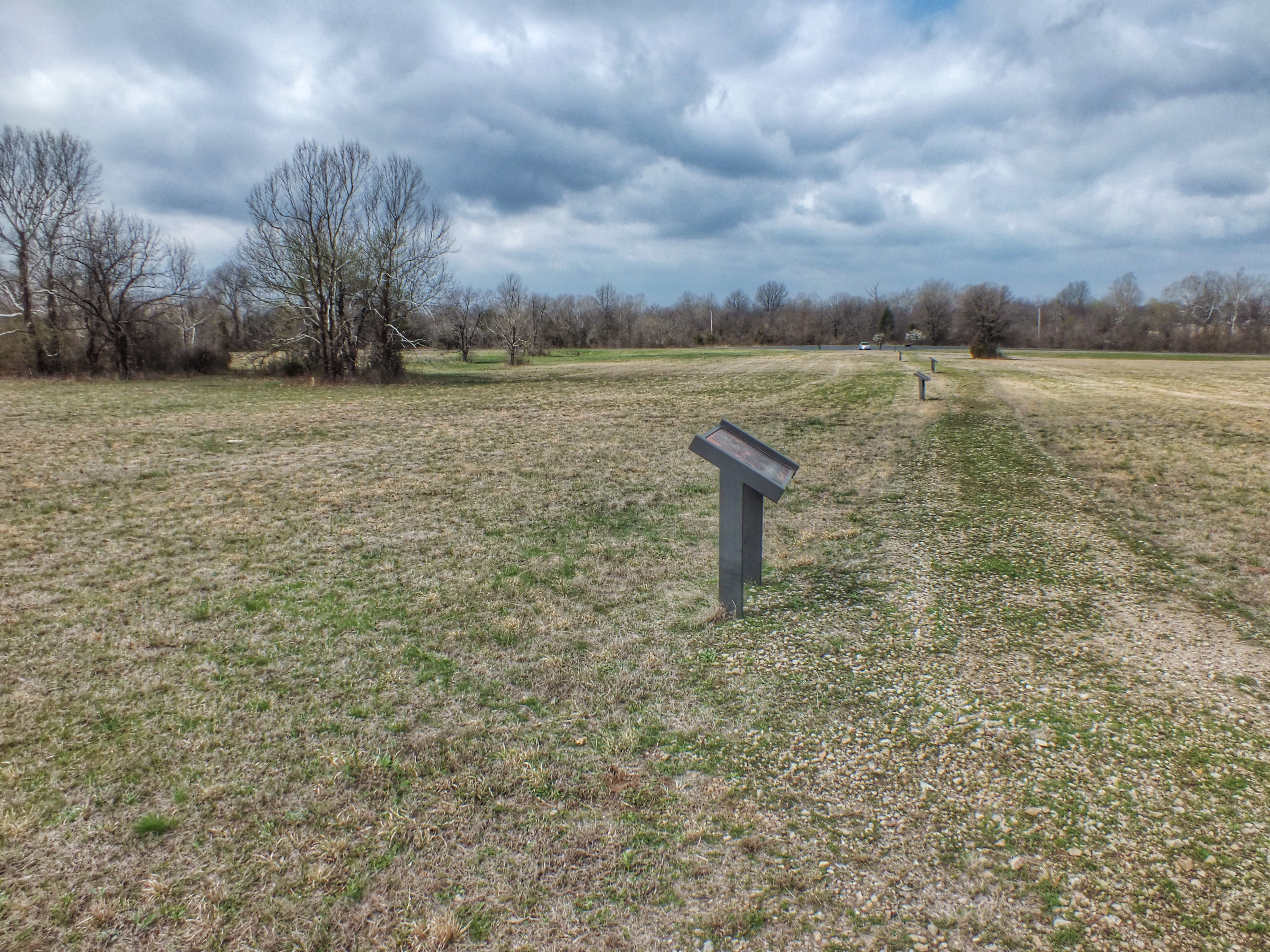
After eating, the Federals formed a line on either side of the Texas Road and deployed their artillery. The next two pictures are looking down the length of the Federal line from opposite ends of the trail.

IMG_1038

IMG_1052

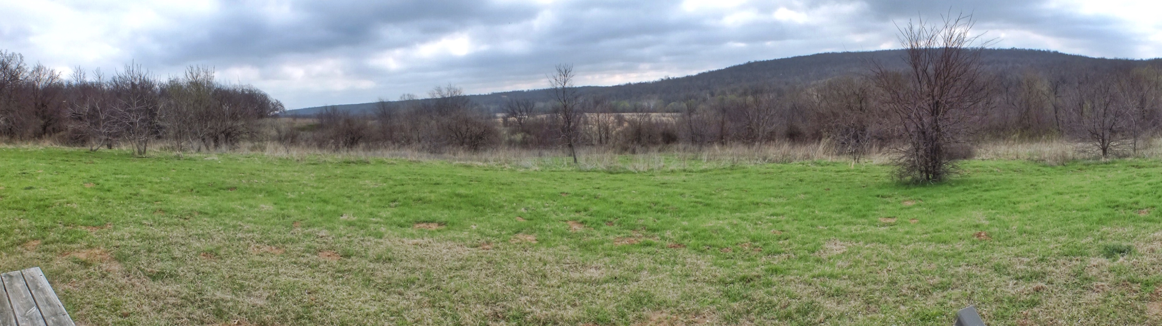
Looking from the Federal line toward the woods where the Confederates waited. The row of trees on the left are on the approximate site of the old Texas Road.

IMG_1050

Trail Three — The Confederate Line

IMG_1039

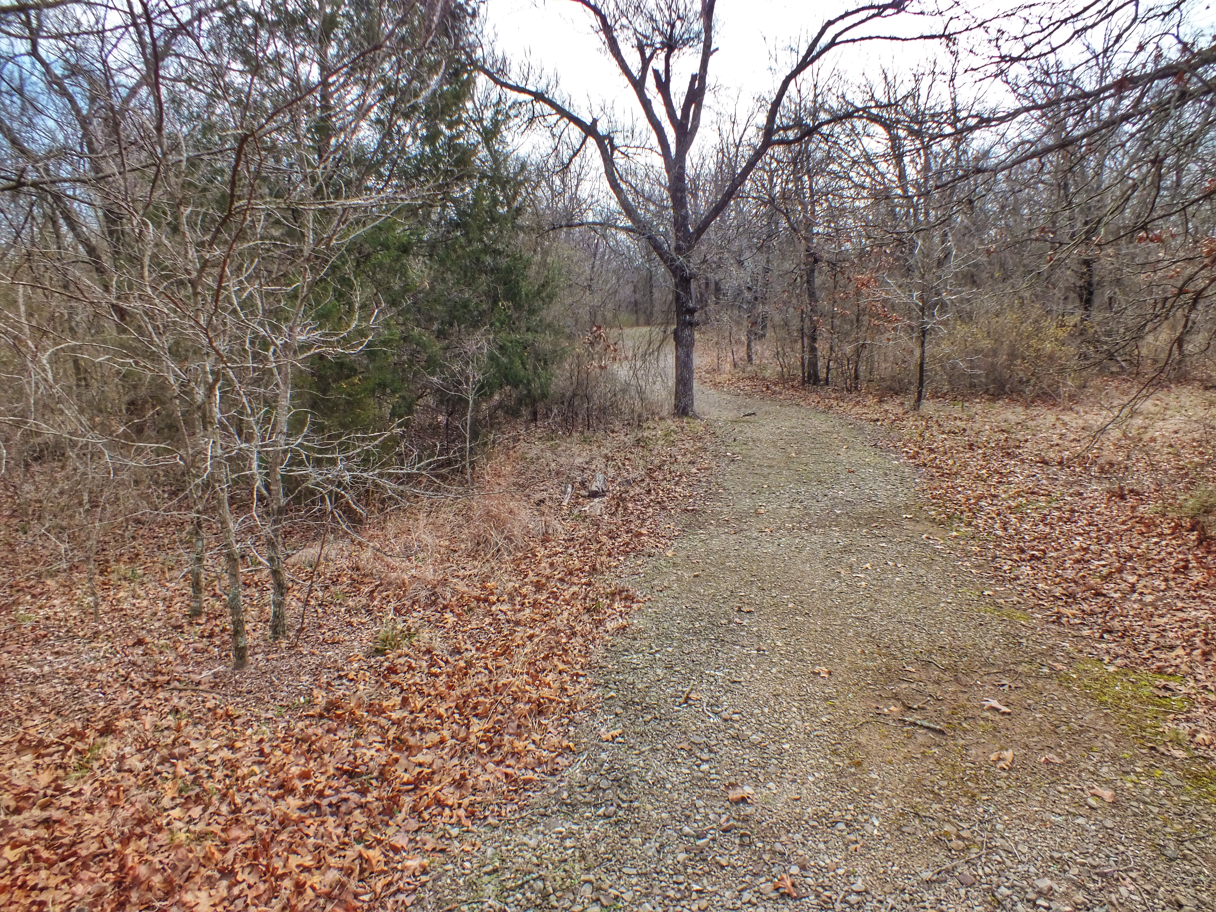
Traces of the old Texas Road

IMG_1042

Trail Four — Fighting at the Bridge

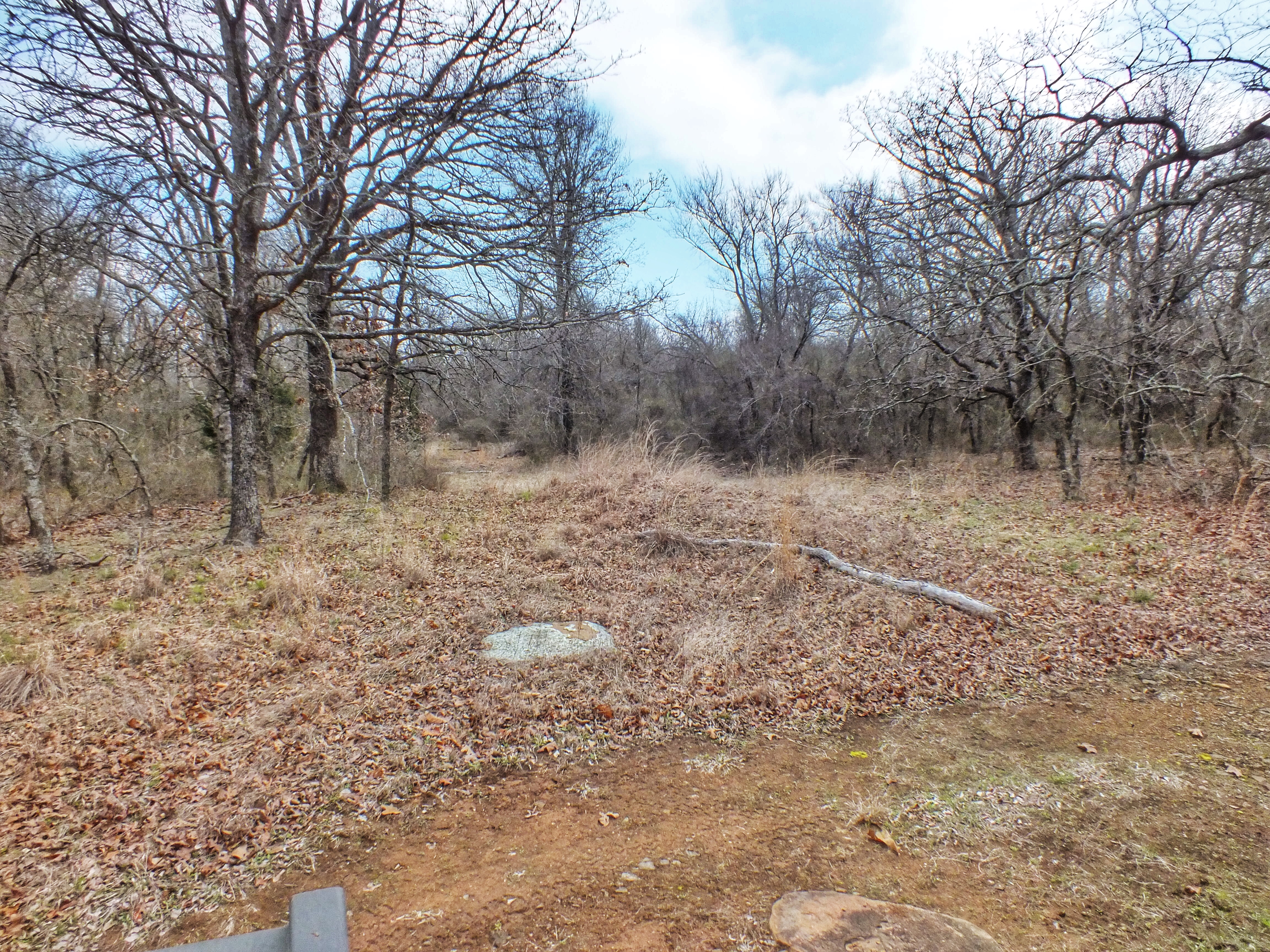
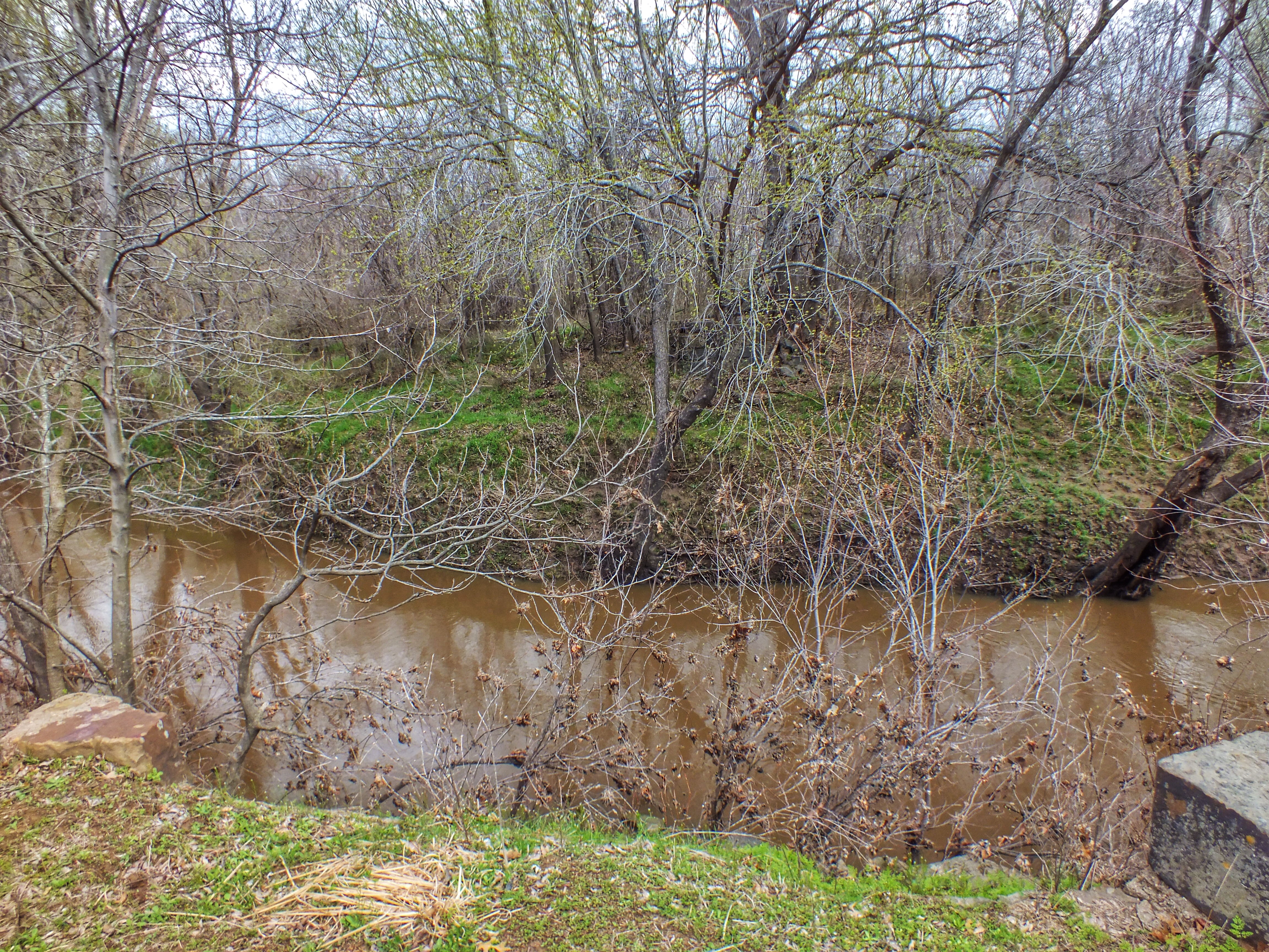
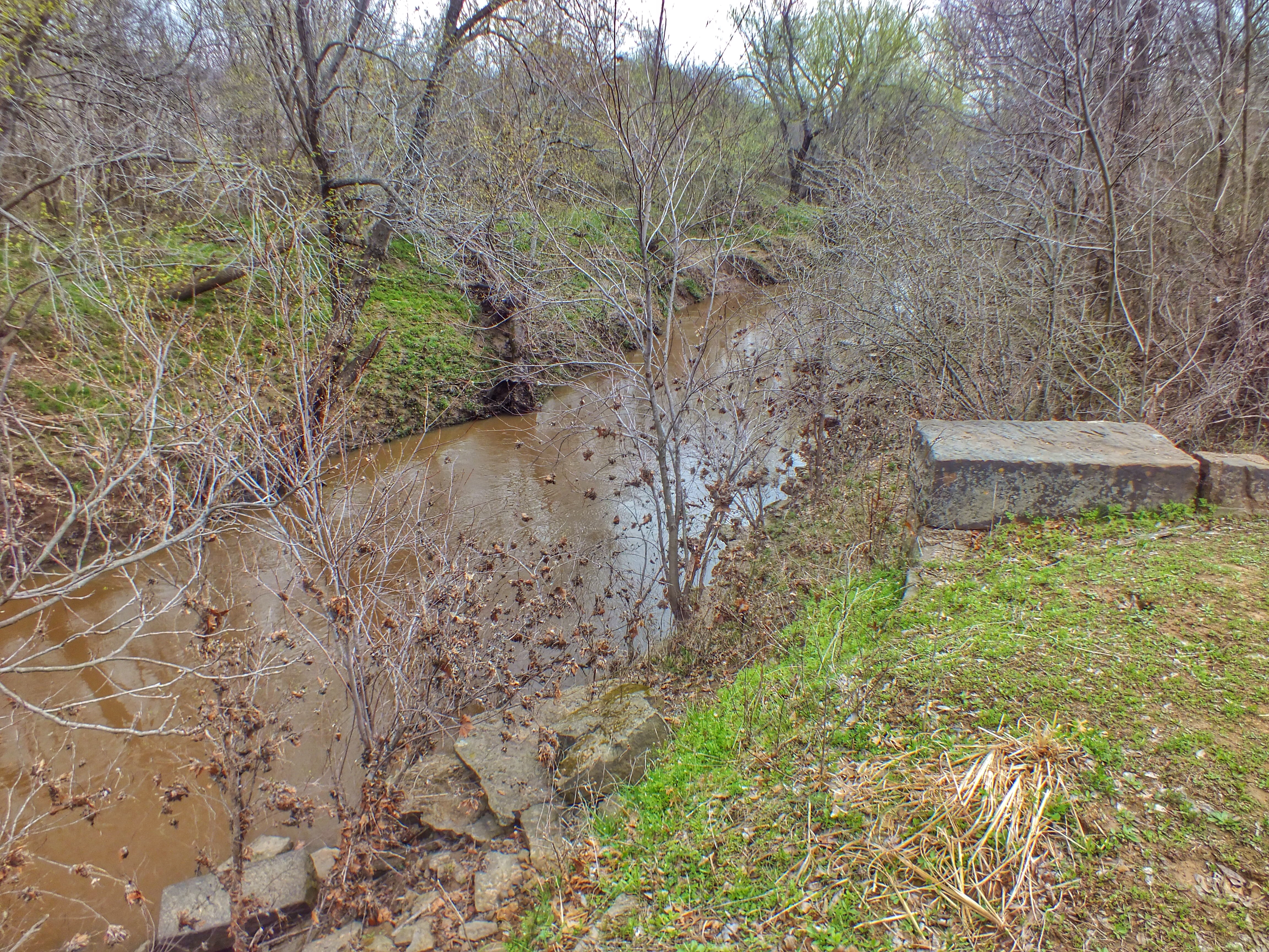
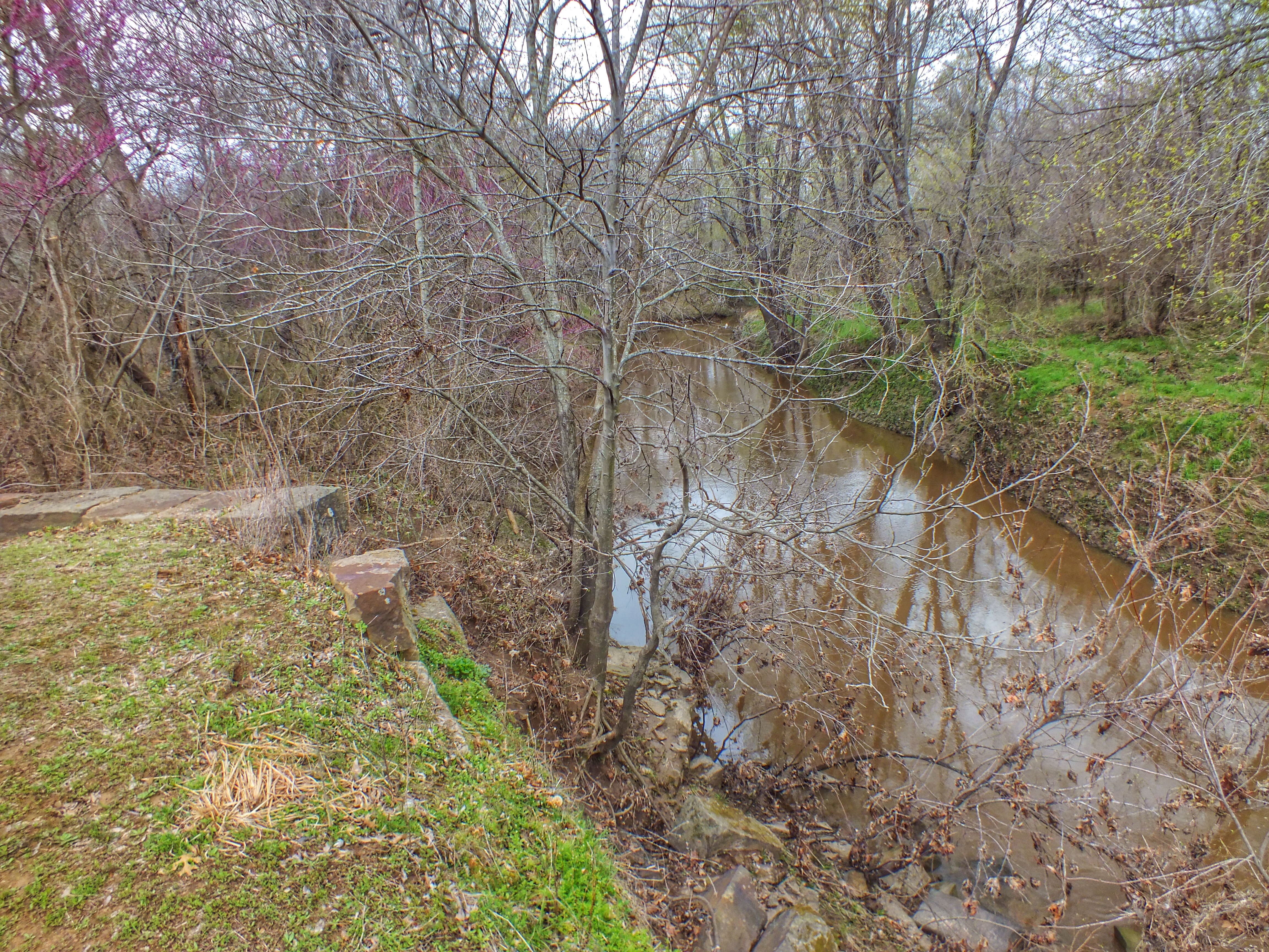
After being pushed back from their original line, the Confederates made a second stand along Elk Creek by the bridge. Ruins of the bridge can be seen in the foreground and across the creek, almost hidden by trees.

IMG_1065

IMG_1066

IMG_1062

Trail Five — The Final Engagement

IMG_1051

Trail Six — Battle Memorial

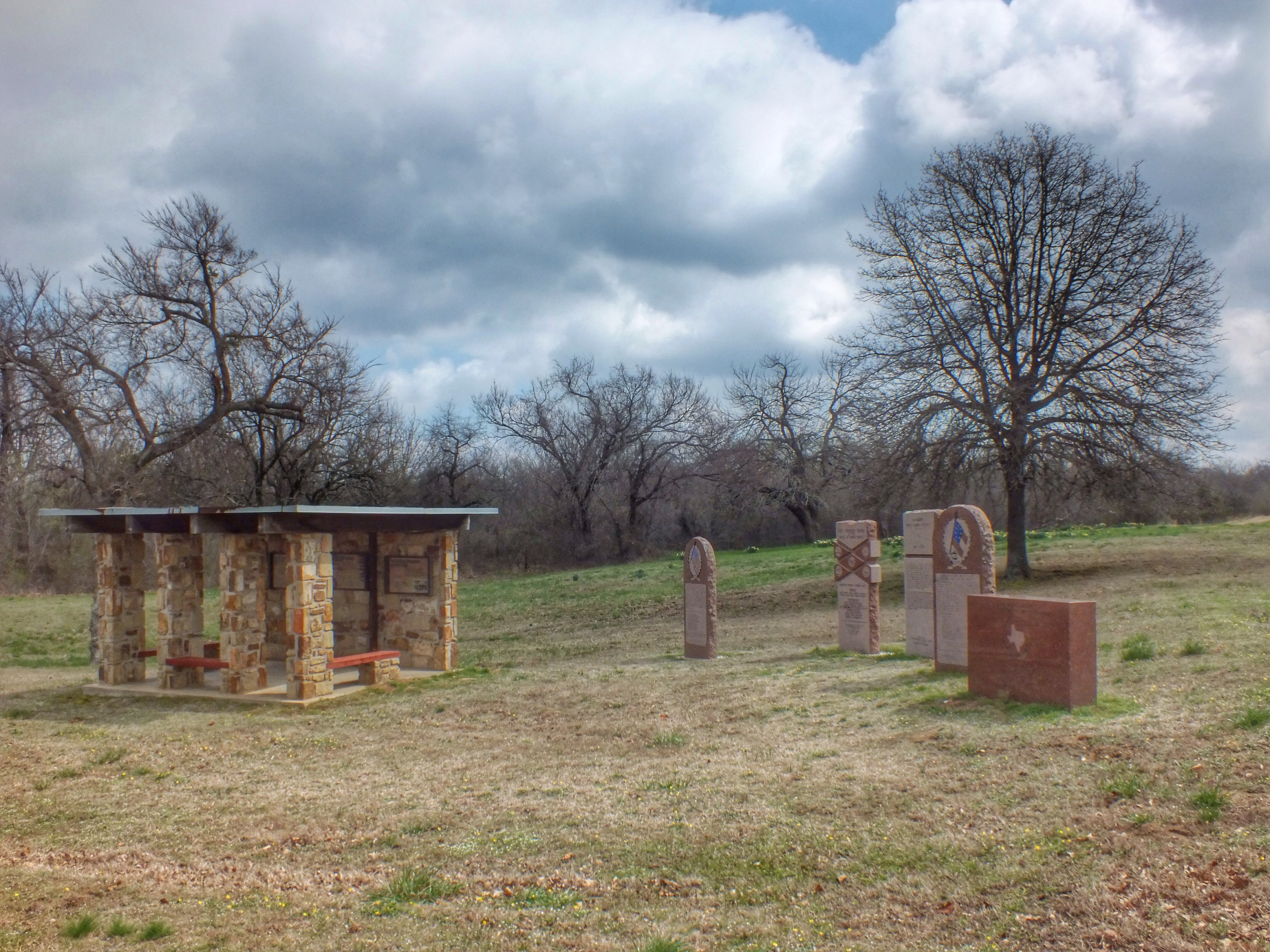
It was also in this area that the Honey Springs Depot was situated.

IMG_1074

IMG_1077

IMG_1075

IMG_1078

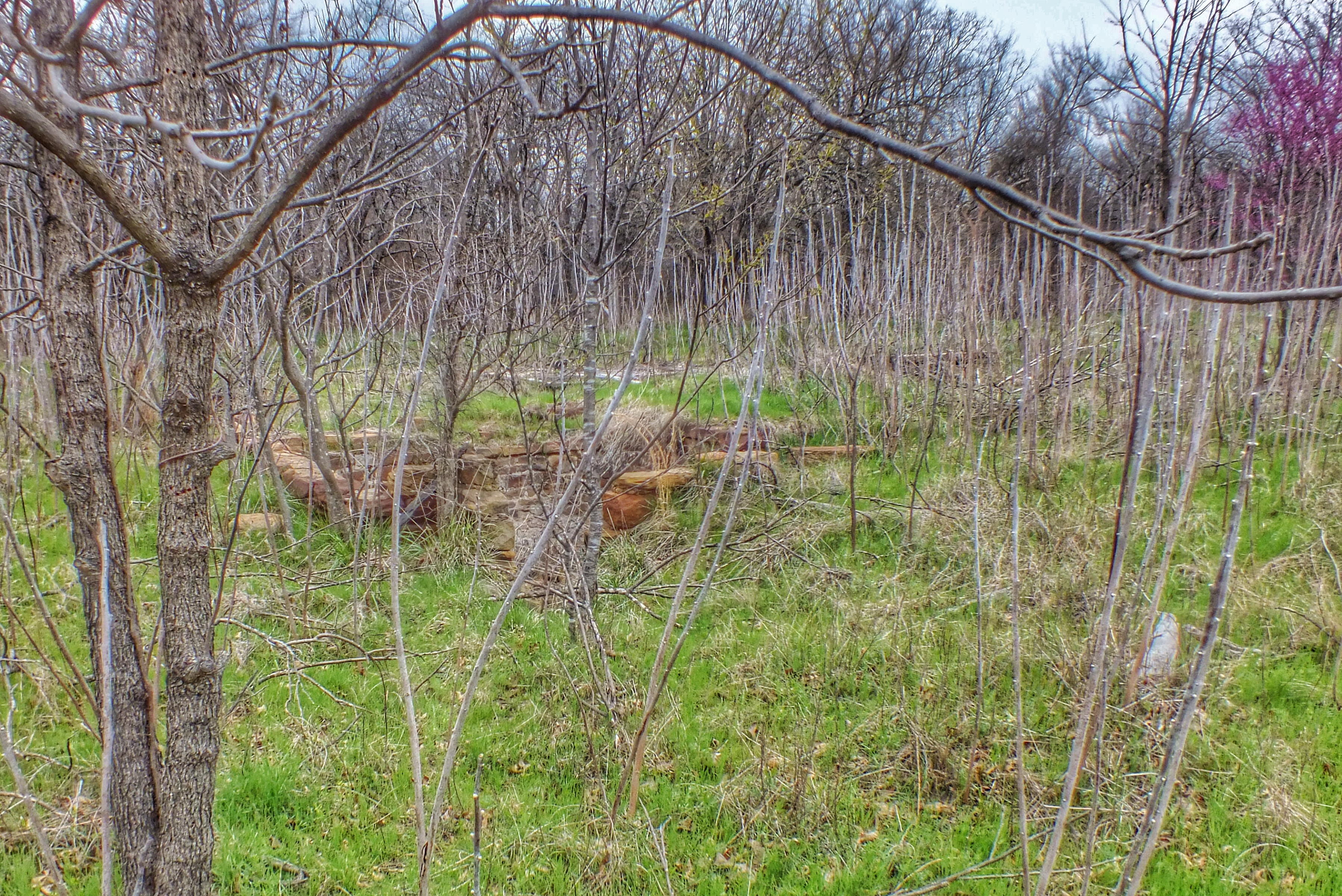
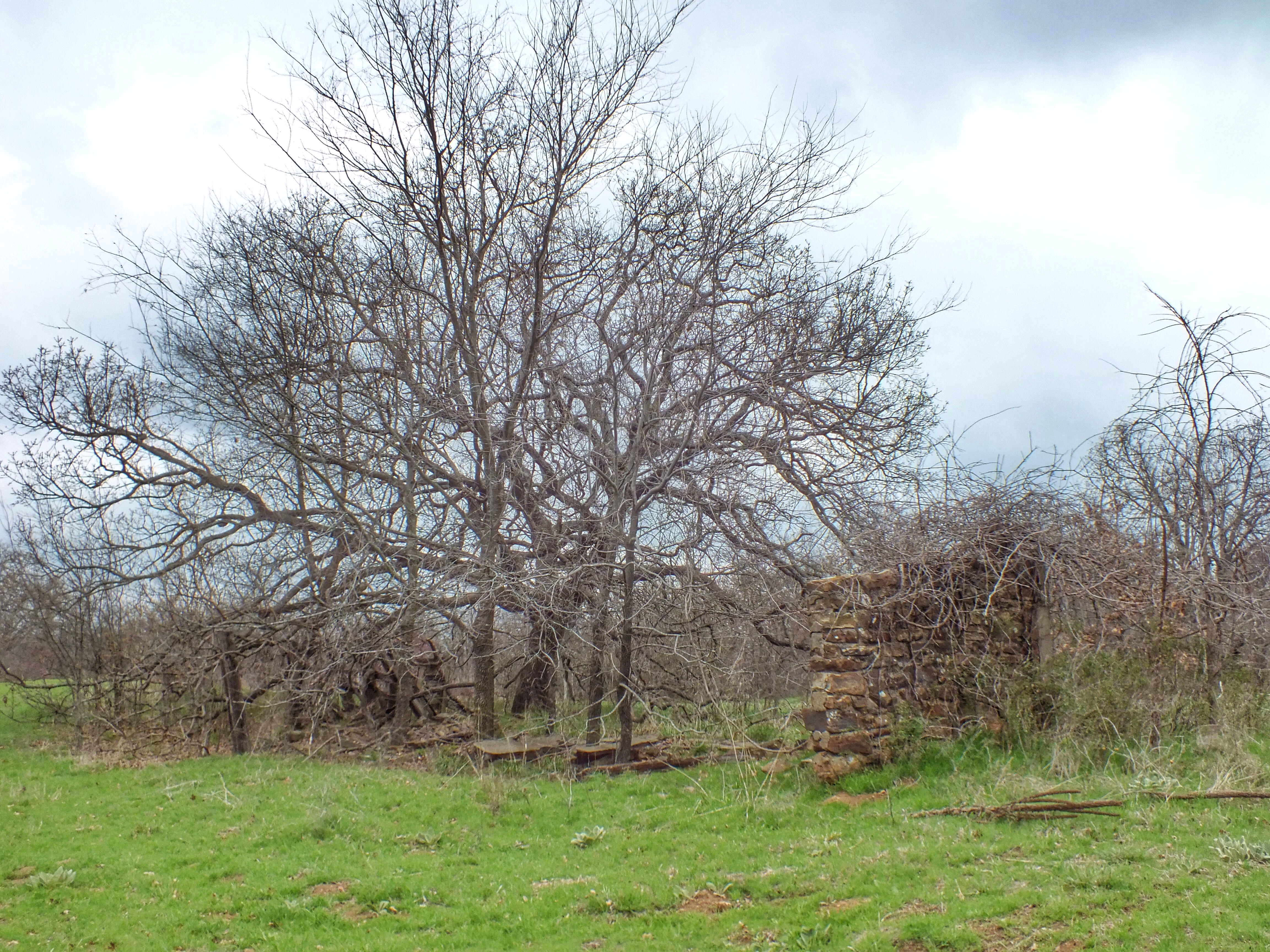
A seventh trail, located near Trail Three, led through the woods to a field. There are ruins of the birthplace of Cherokee woodcarver Willard Stone whose works can be found in various museums.

IMG_1060

IMG_1067

Looking over much of the battlefield from the field near the ruins. Elk Creek is down in the woods to the right.

IMG_1036

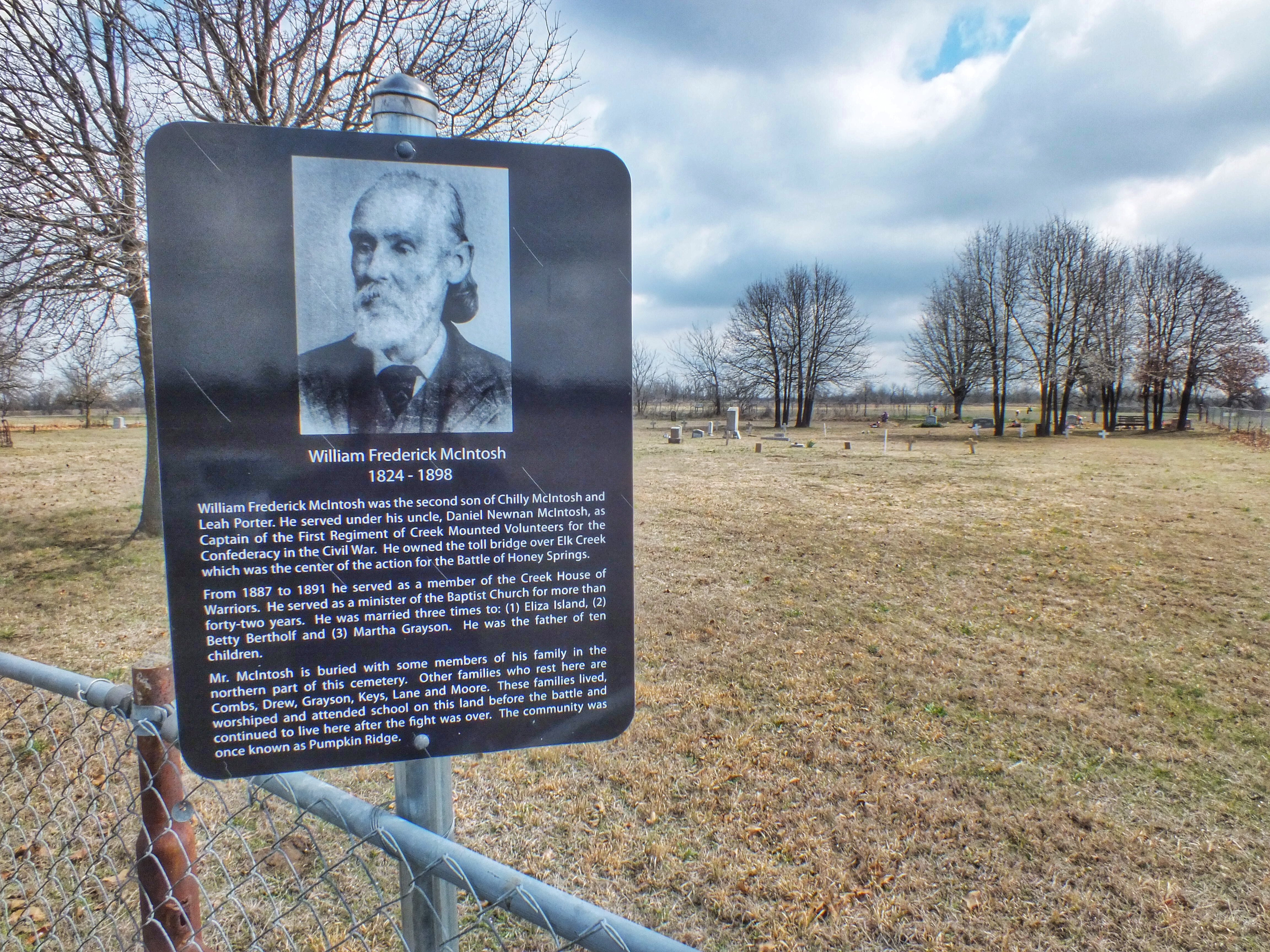
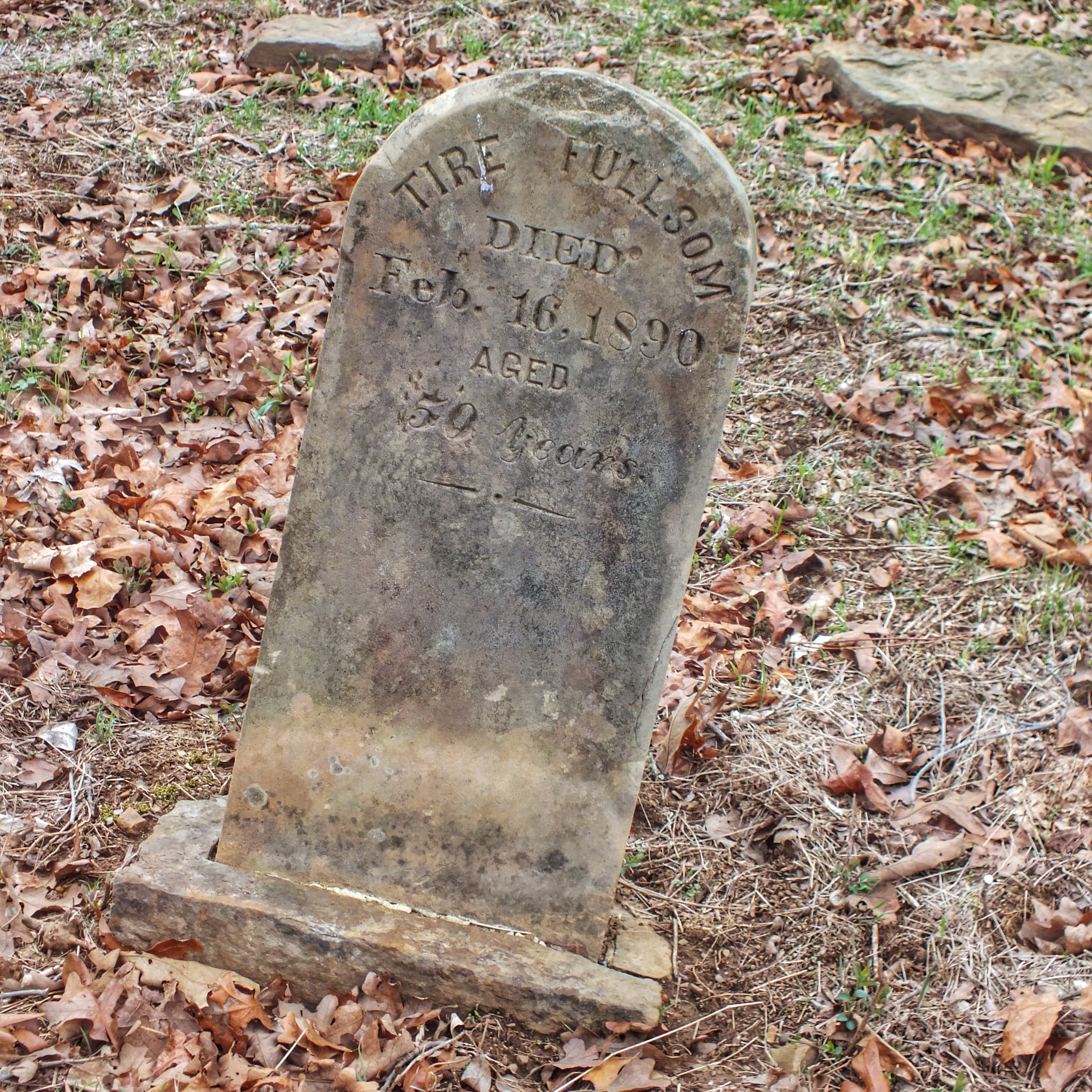
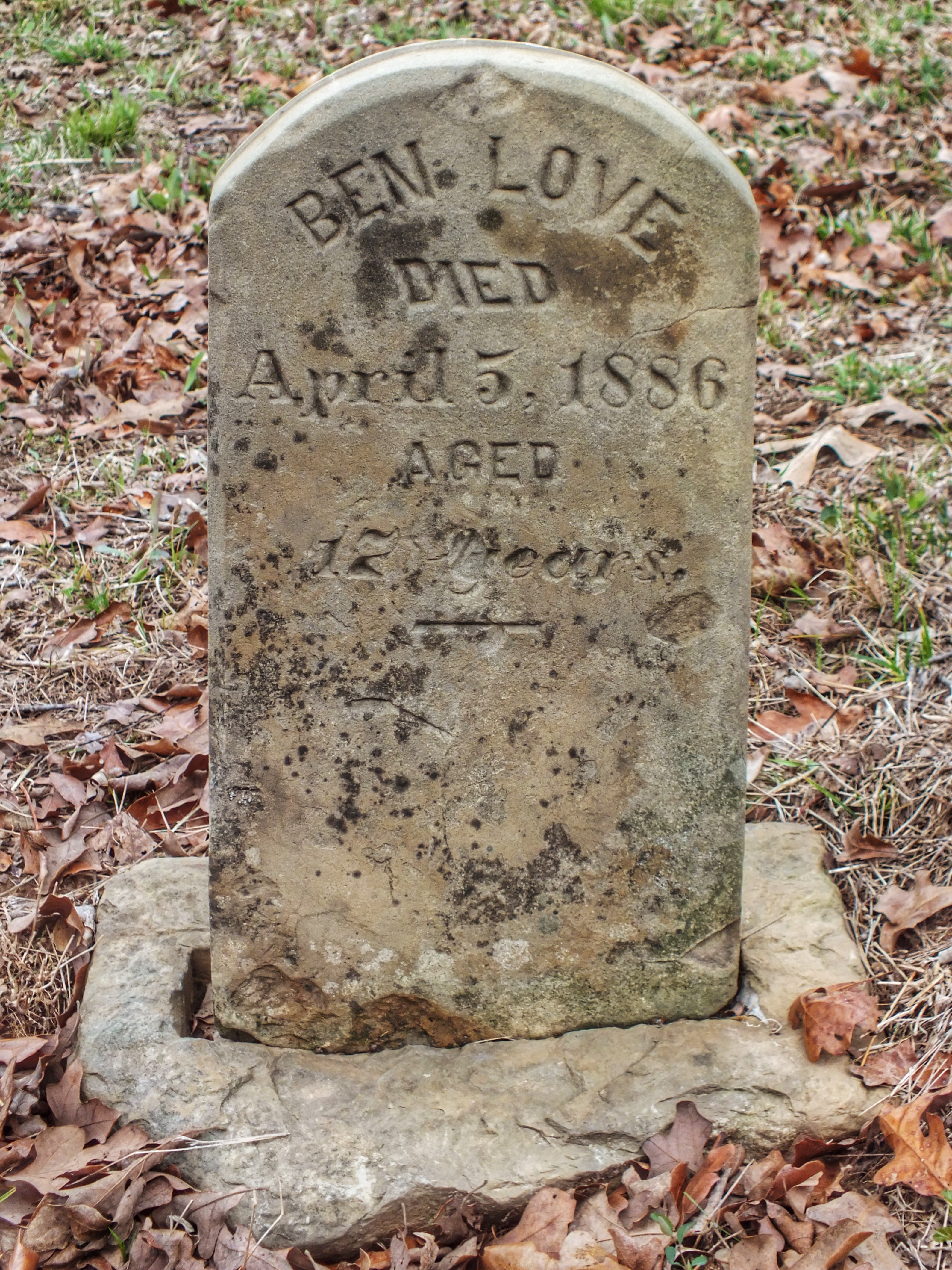
There was also an old cemetery nearby.

IMG_1040

IMG_1041

IMG_1037

I would have enjoyed the battlefield more if I could have read the interpretive signs. Here’s a representative example.

DSCF1802

It’s not a place I’m itching to visit again, but I’m glad I went once.

Posted in Oklahoma | Comments Off on Honey Springs Battlefield

Arkansas Air & Military Musuem

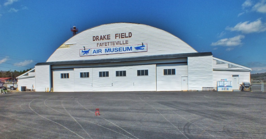
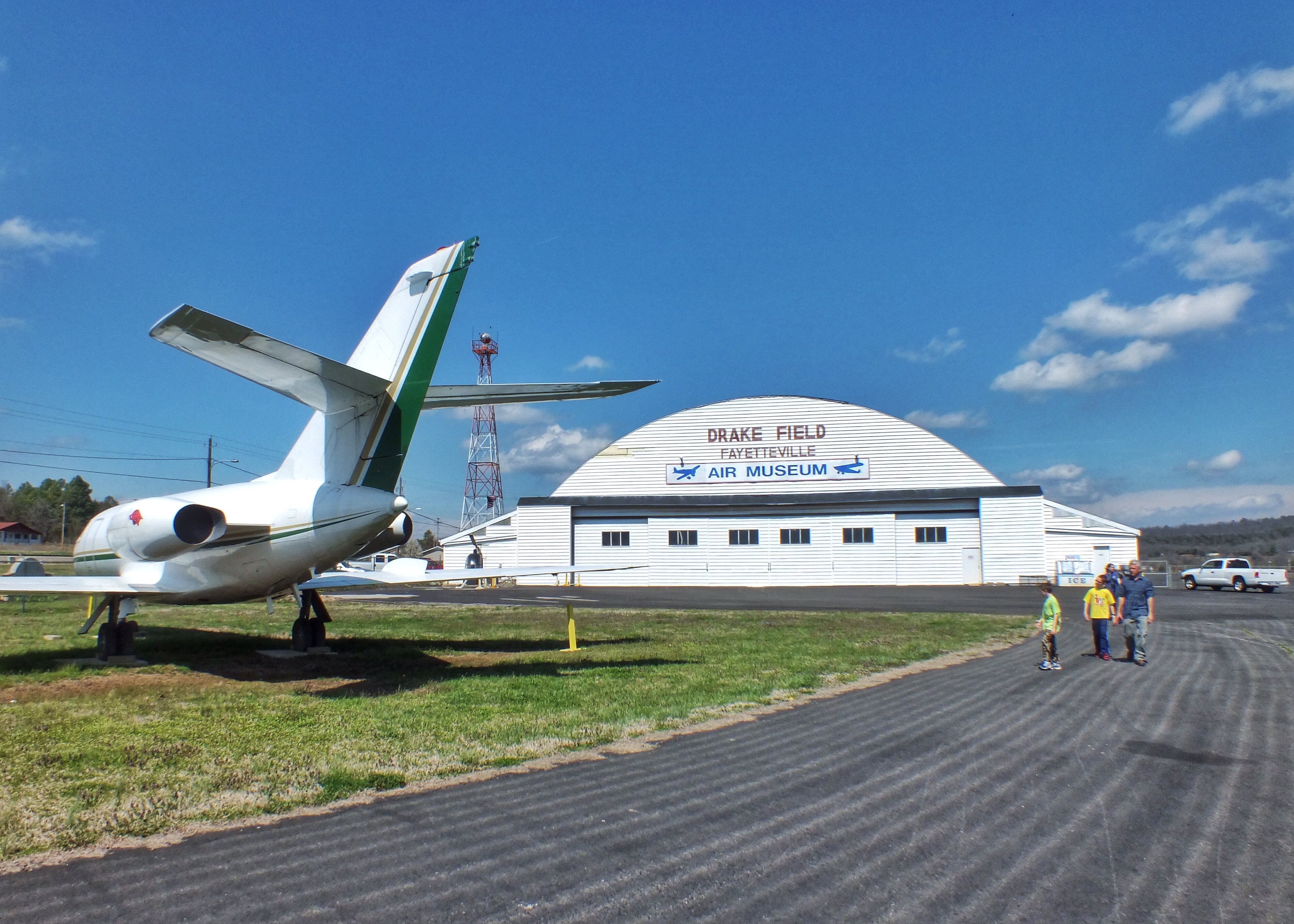
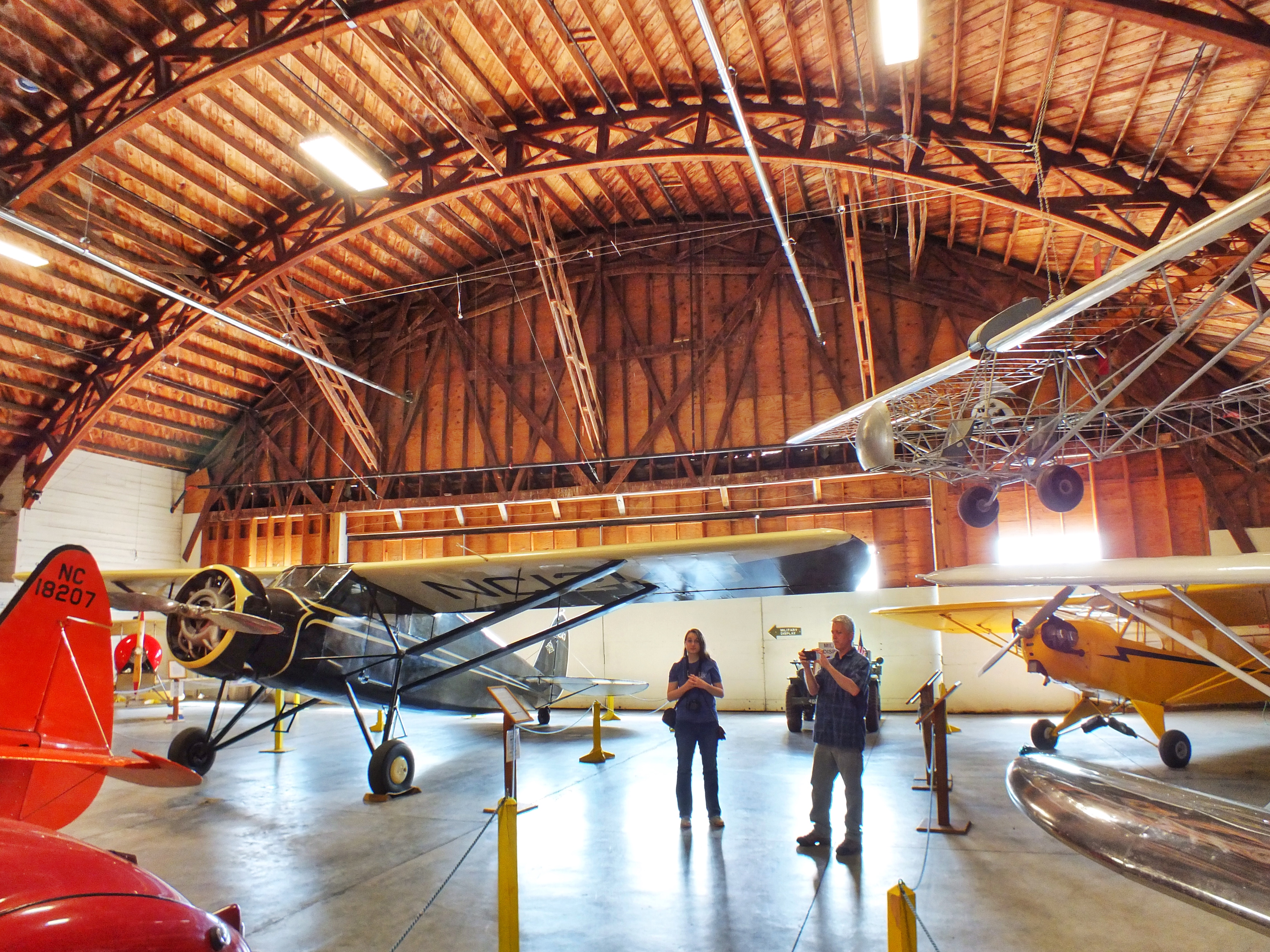
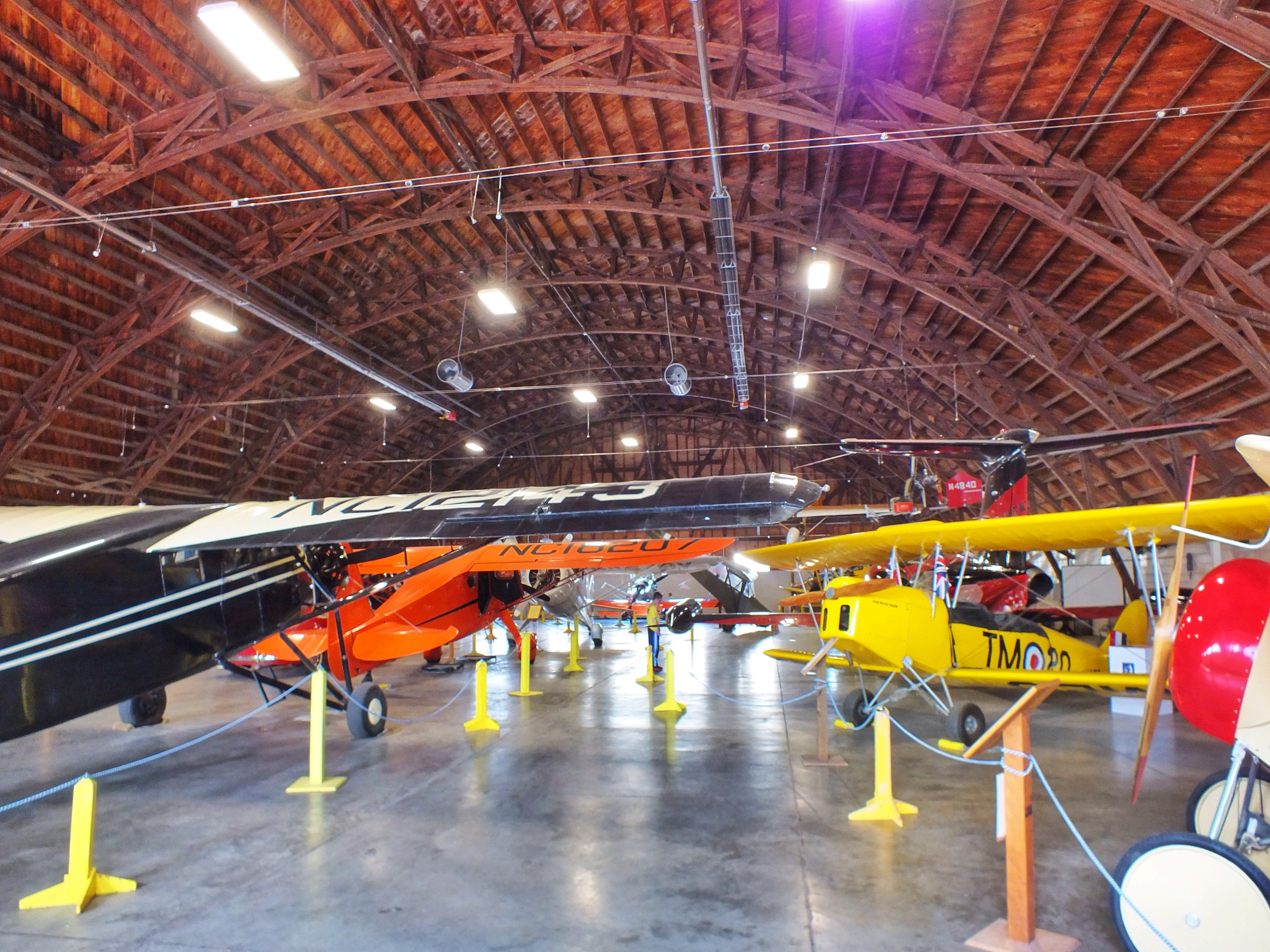
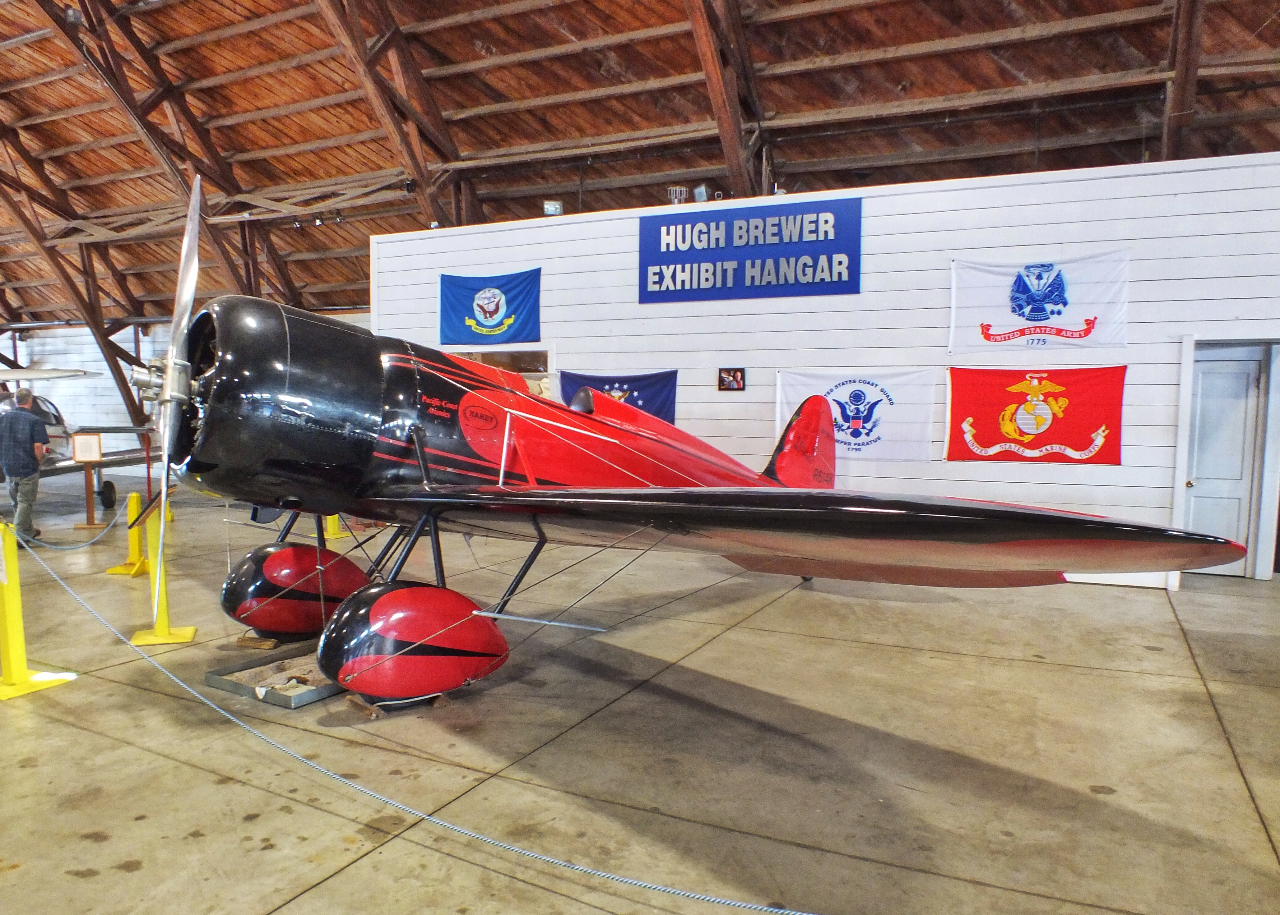
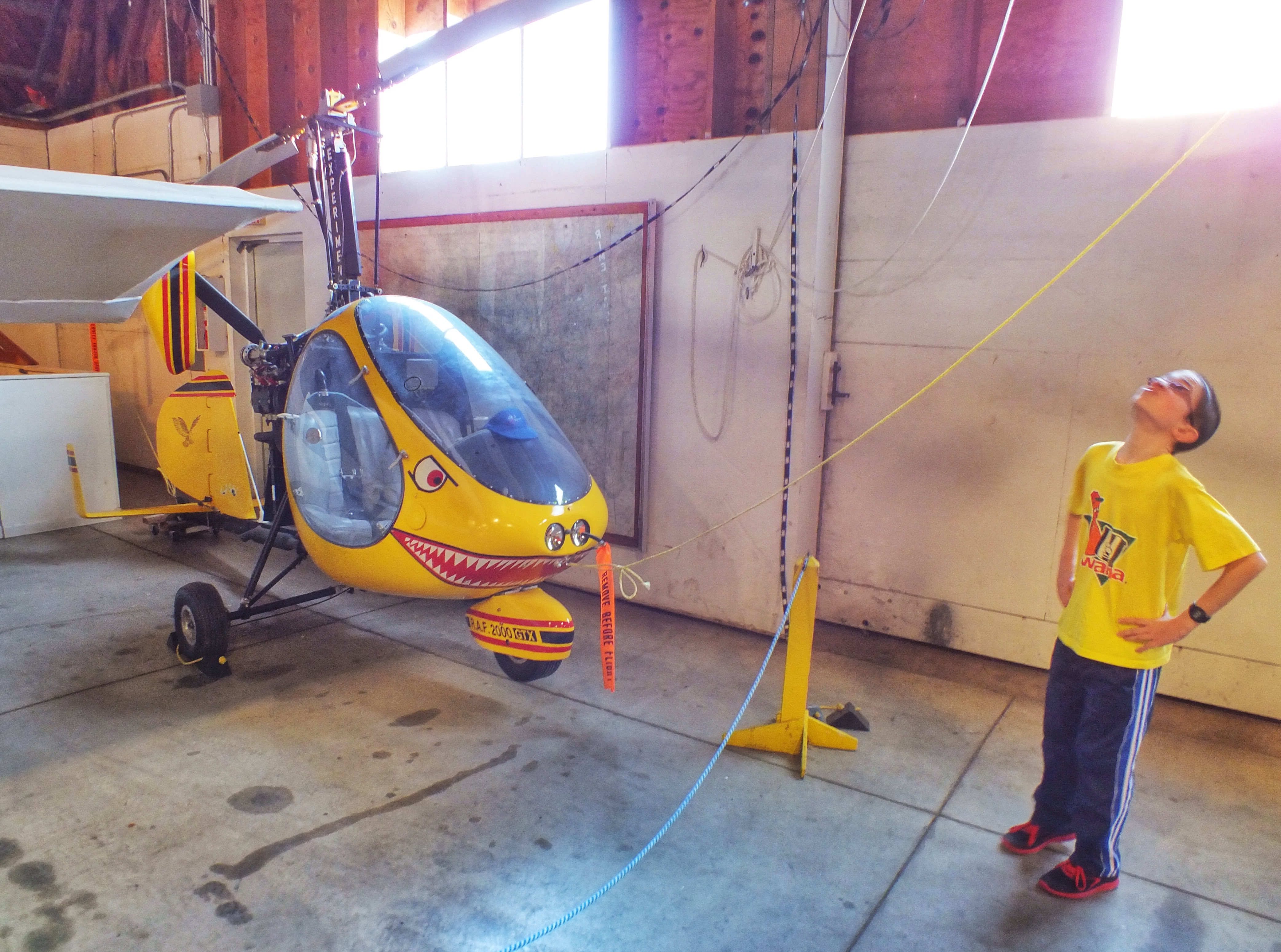
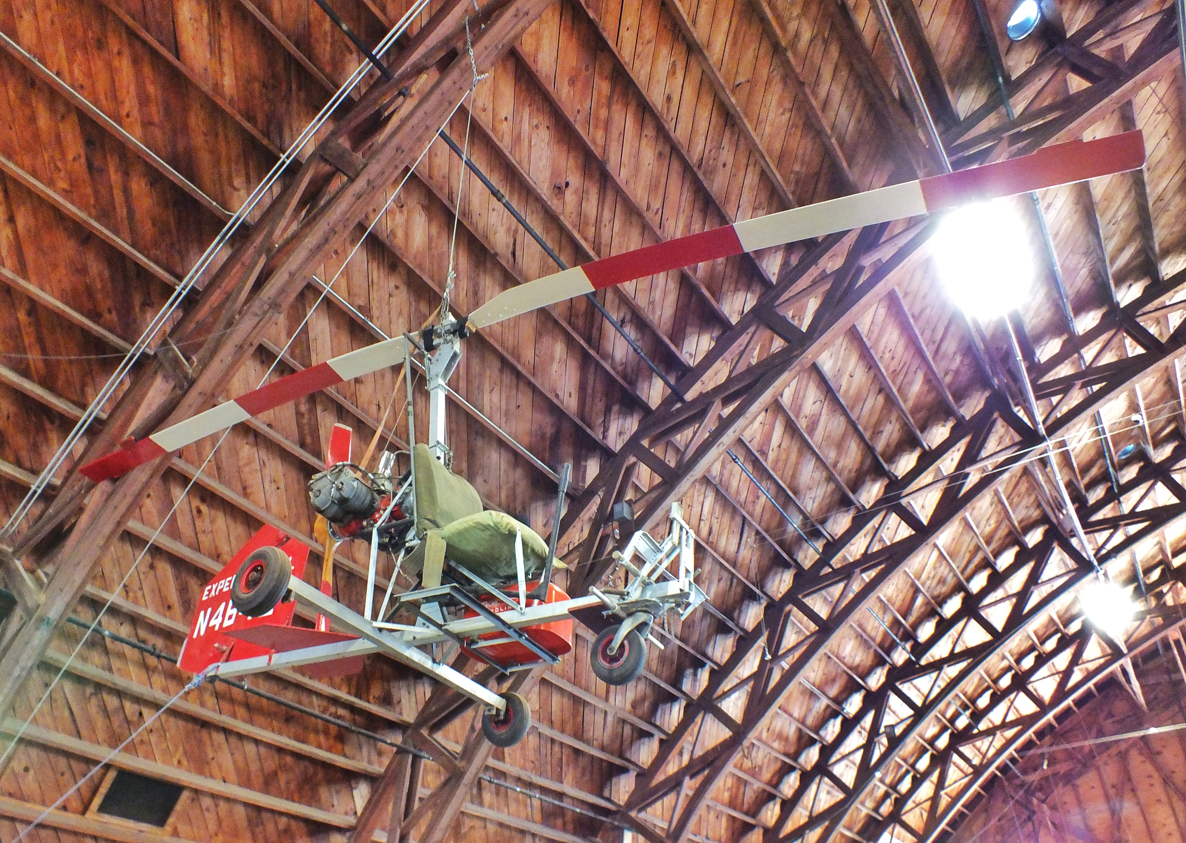
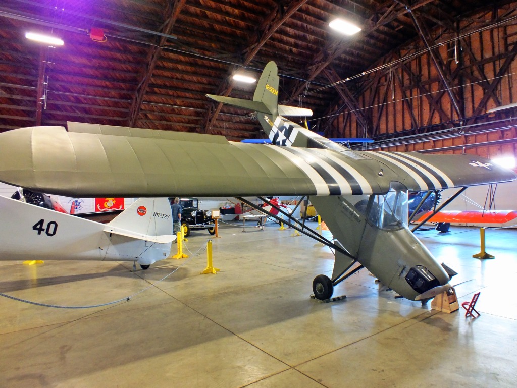
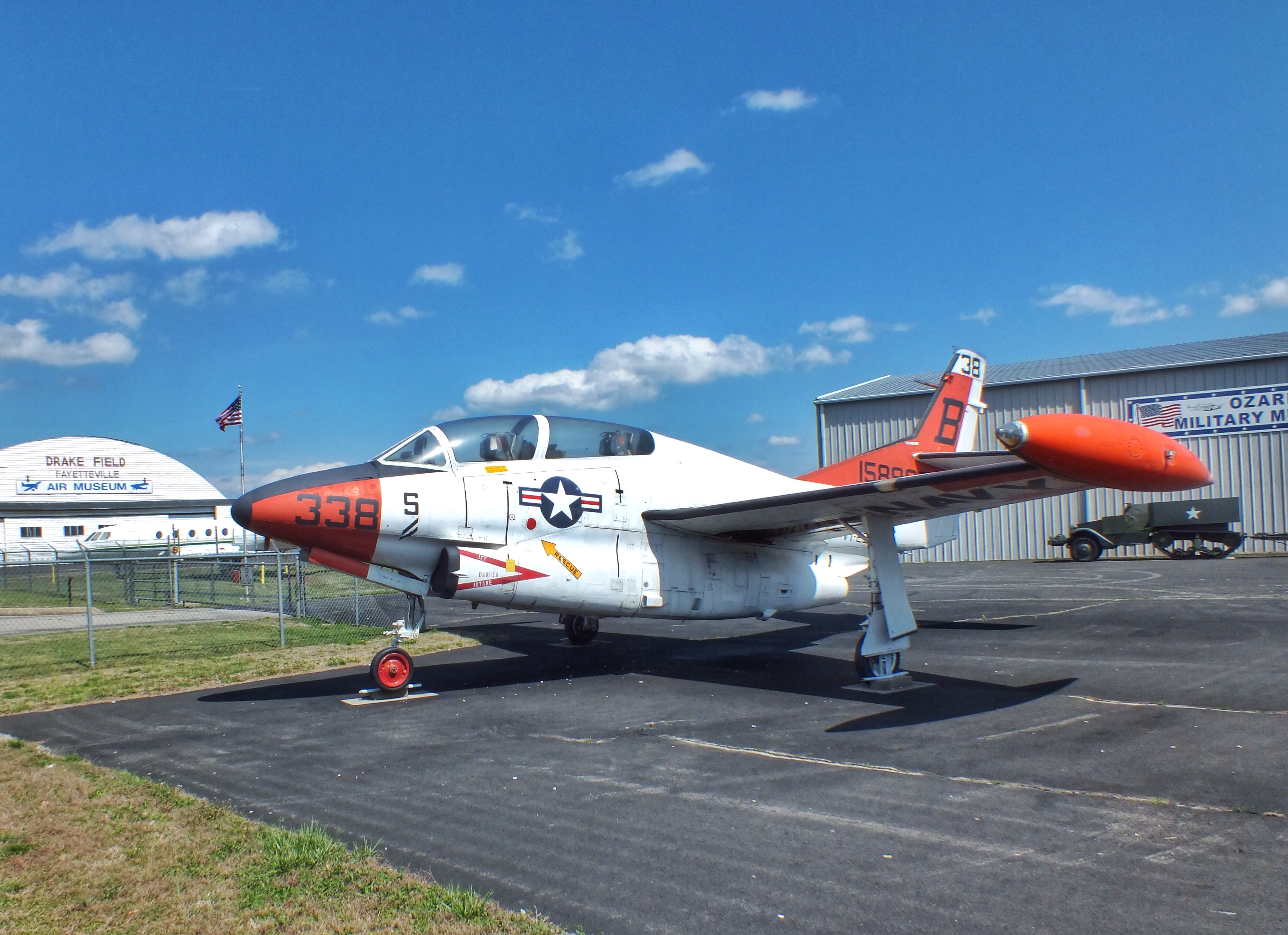
On Wednesday afternoon, Tim, Angela, Daniel, Luke and I drove into Fayetteville to visit a small museum. It was supposed to be a rainy-day activity, but the rain didn’t start until later in the day — and then it continued all night long. The museum was located in an old hanger and two other buildings. It featured about 20 planes, several military vehicles and displays of war memorabilia, mostly from World War II.

I found the old wooden hanger as interesting as anything else. When the wind blew, the rafters creaked. The building was used as headquarters for an Army flight training unit during World War II.

IMG_0871-1024x535

IMG_0982

IMG_0974

IMG_0983

Many of the airplanes were reproductions of old planes, some not even to scale. This is a copy of a racing plane from 1928, the Travel Air Model R “Mystery Ship.”

IMG_0962

IMG_0970

A gyrocopter built from a $4,460 kit.

IMG_0969

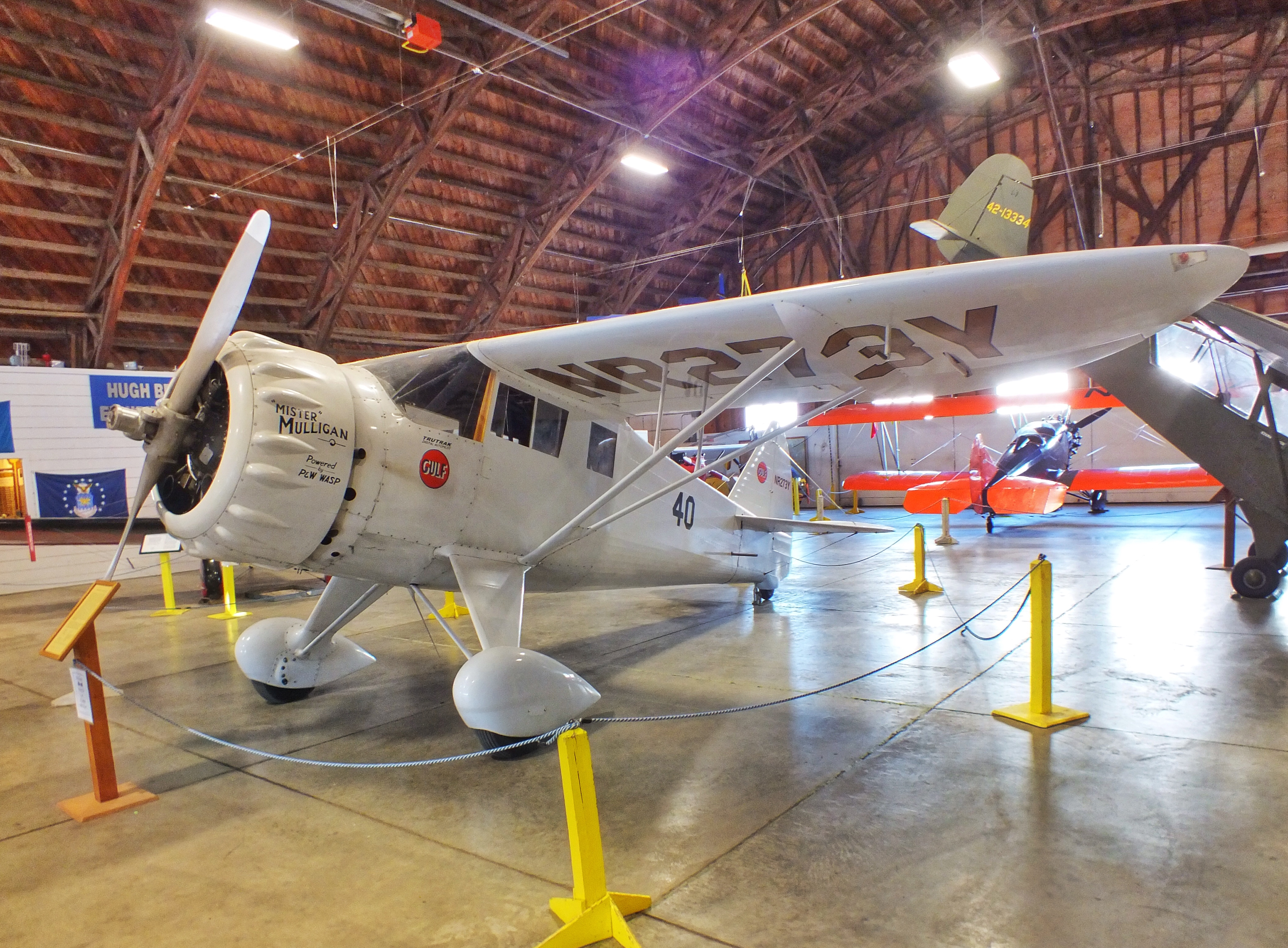
A copy of the “Mister Mulligan” racing DGA-6.

IMG_0971

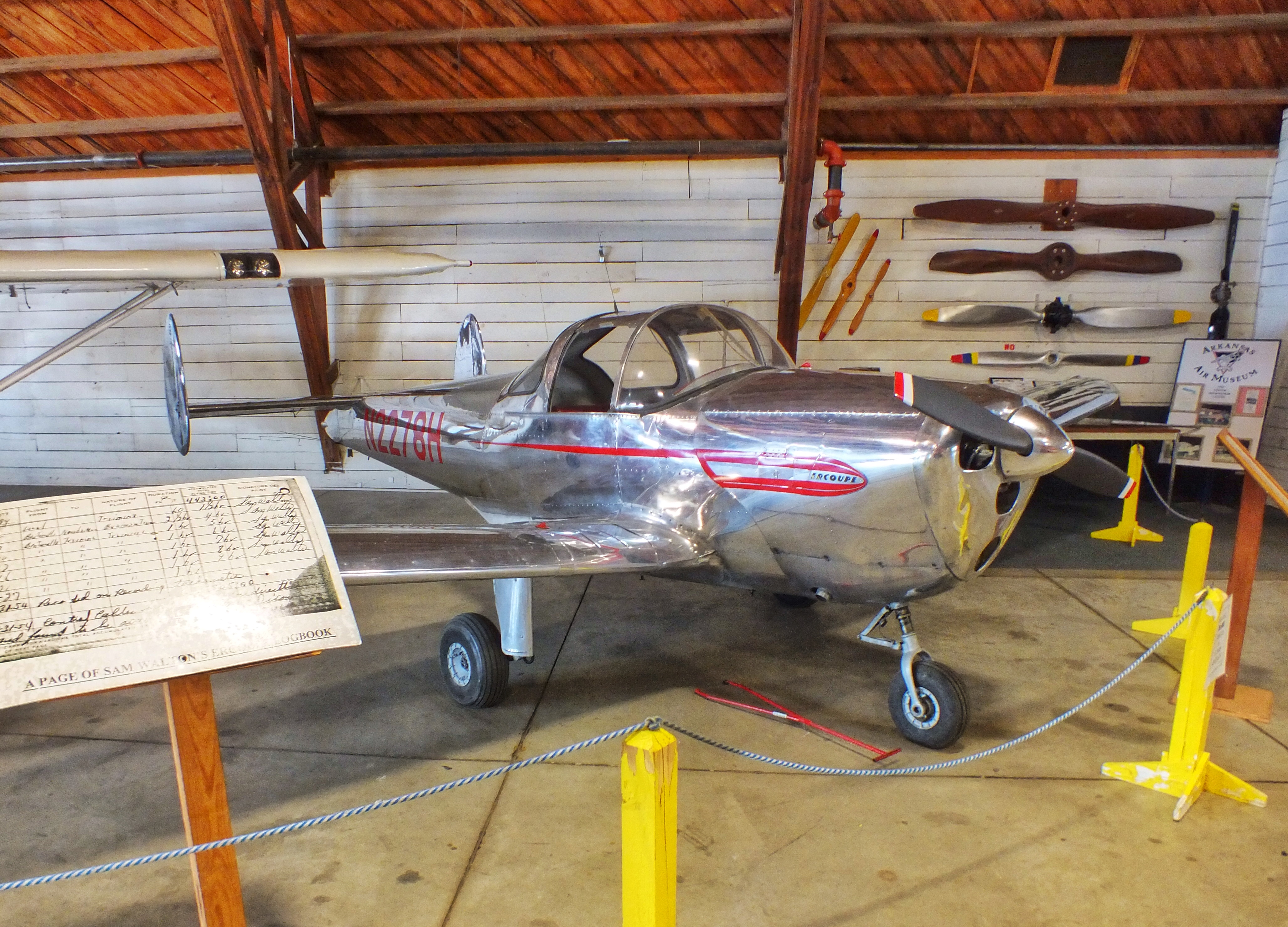
Sam Walton’s first airplane, built in 1947.

IMG_0972

IMG_0868-1024x769

IMG_0869-1024x756

IMG_0984

A Dodge ambulance used by the Dutch in World War II.

IMG_0981

A 1942 Chevrolet cargo truck

IMG_0985

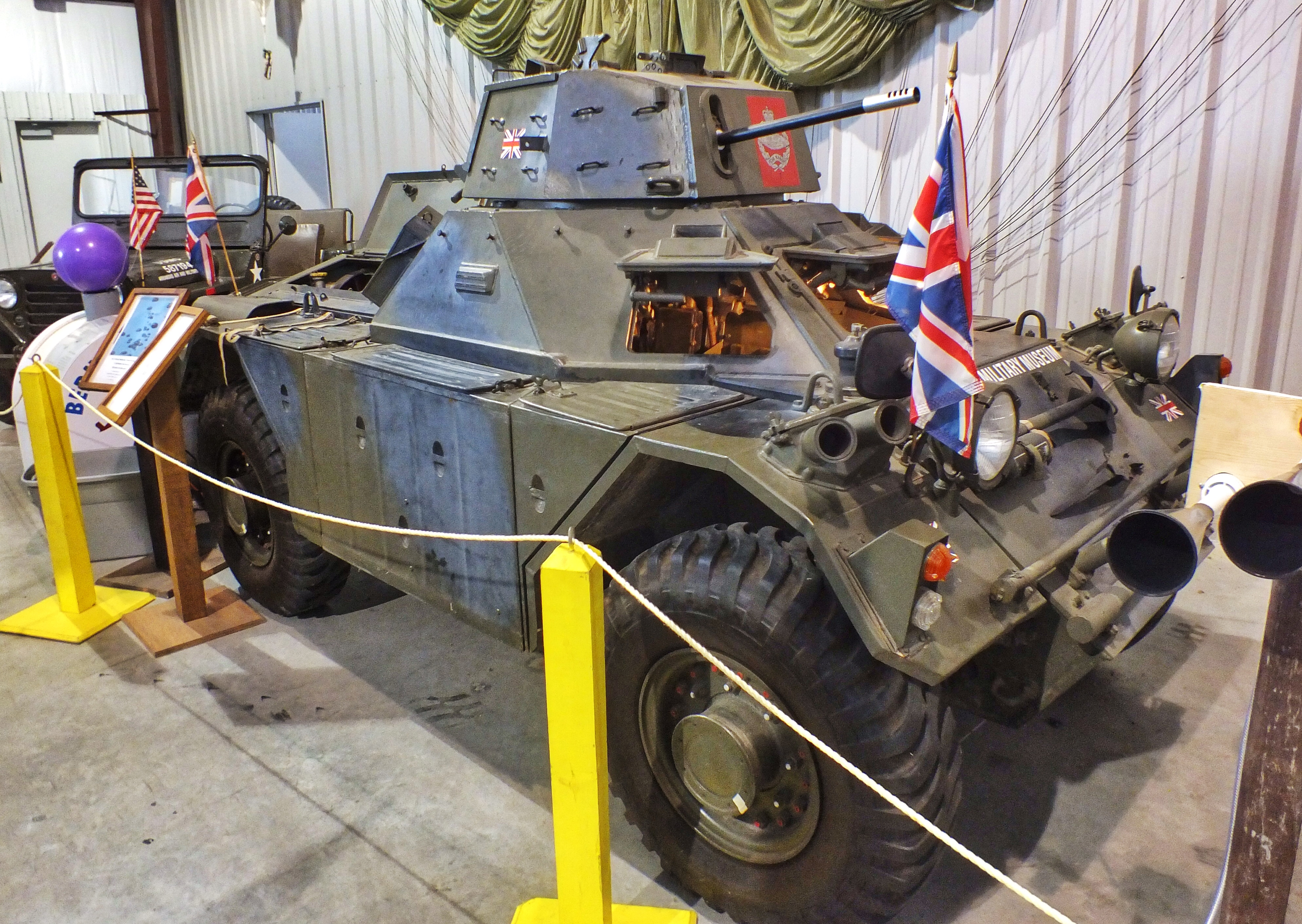
A British Ferret Scout Car

IMG_0986

A 1943 Chevrolet Bomb Transport truck.

IMG_0996

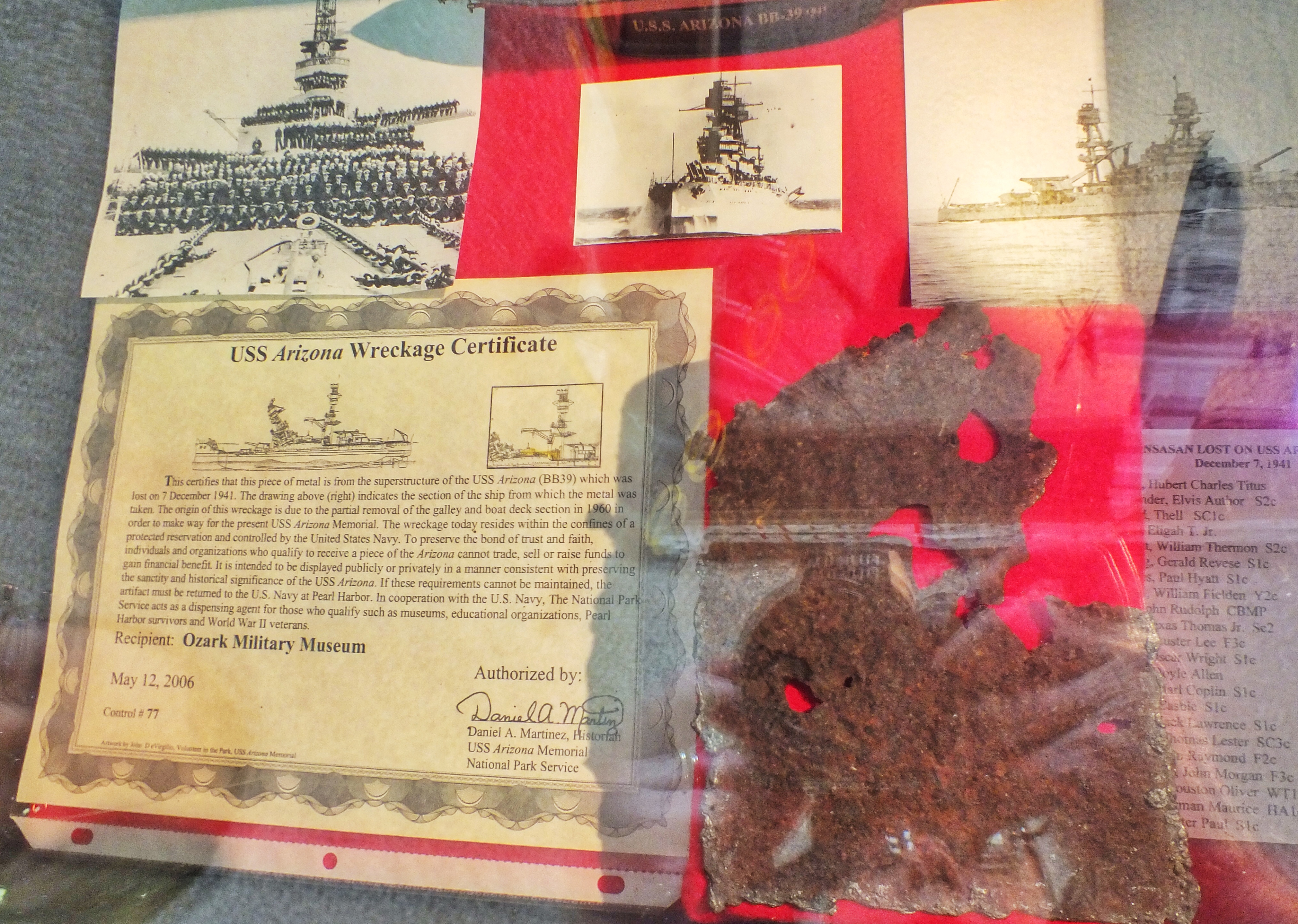
A piece from the battleship Arizona which was removed when the Pearl Harbor monument was built.

IMG_0994

IMG_0998

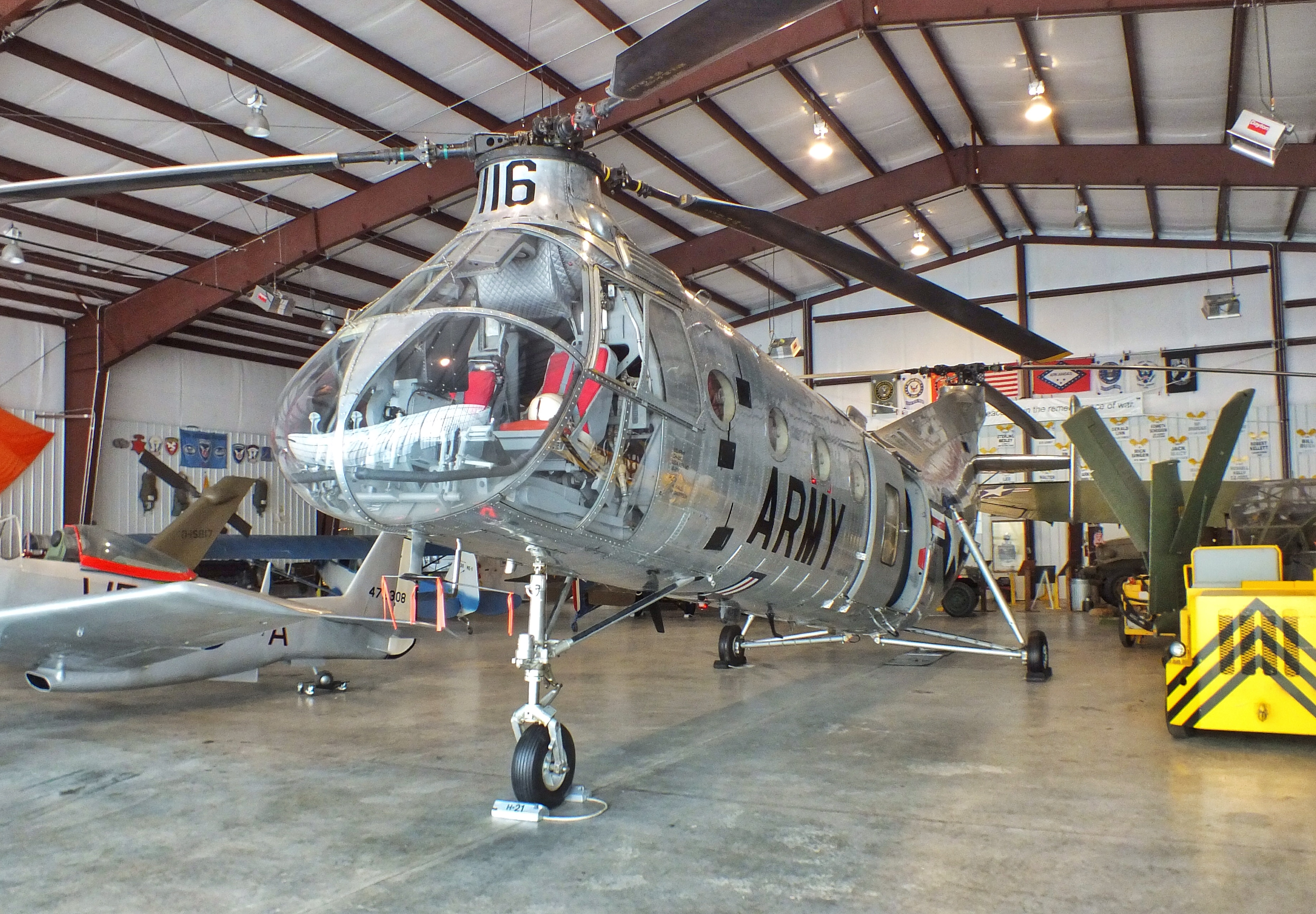
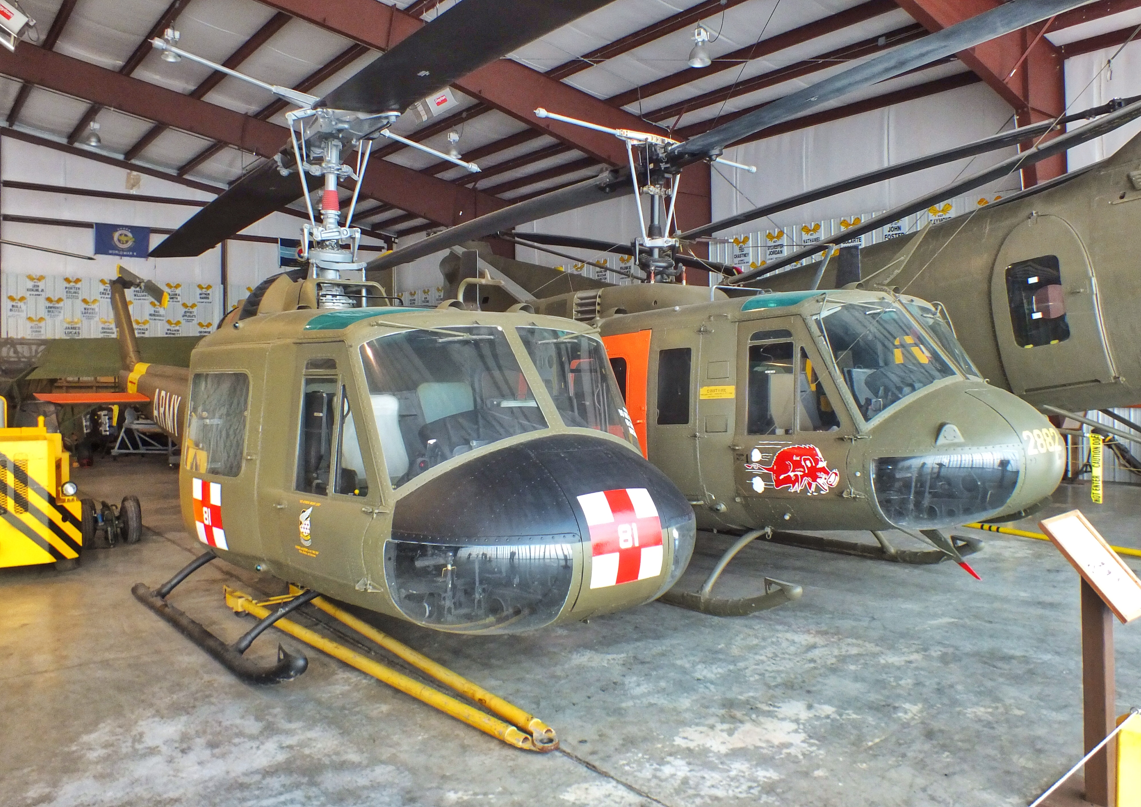
Medi-vac helicopters used in Vietnam.

IMG_0997

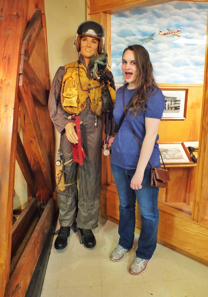
Angela made a friend in the visitor center.

IMG_0870-718x1024

It wasn’t a large or particularly well-organized museum, but it beguiled the time for an hour or so on a hot afternoon.

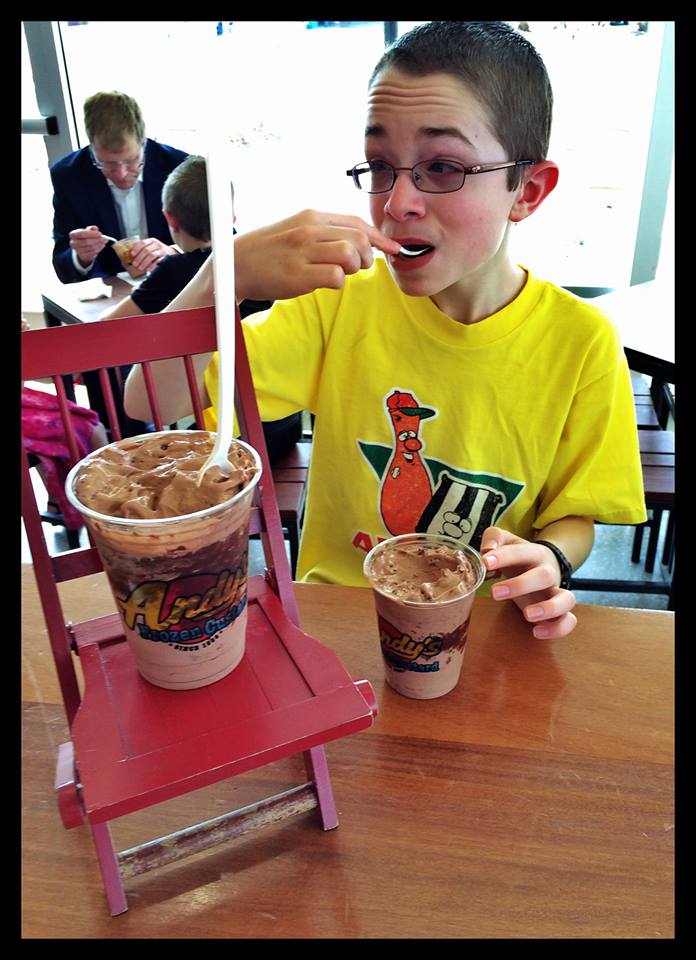
After touring the airplane museum, we rounded off the adventure with frozen custard at Andy’s in Fayetteville.

Luke

11067908_10205509476551791_4634238466022149107_n

Daniel

11082561_10205509476511790_1257180107675144988_n

Posted in Arkansas | Comments Off on Arkansas Air & Military Musuem

Pileated Woodpecker

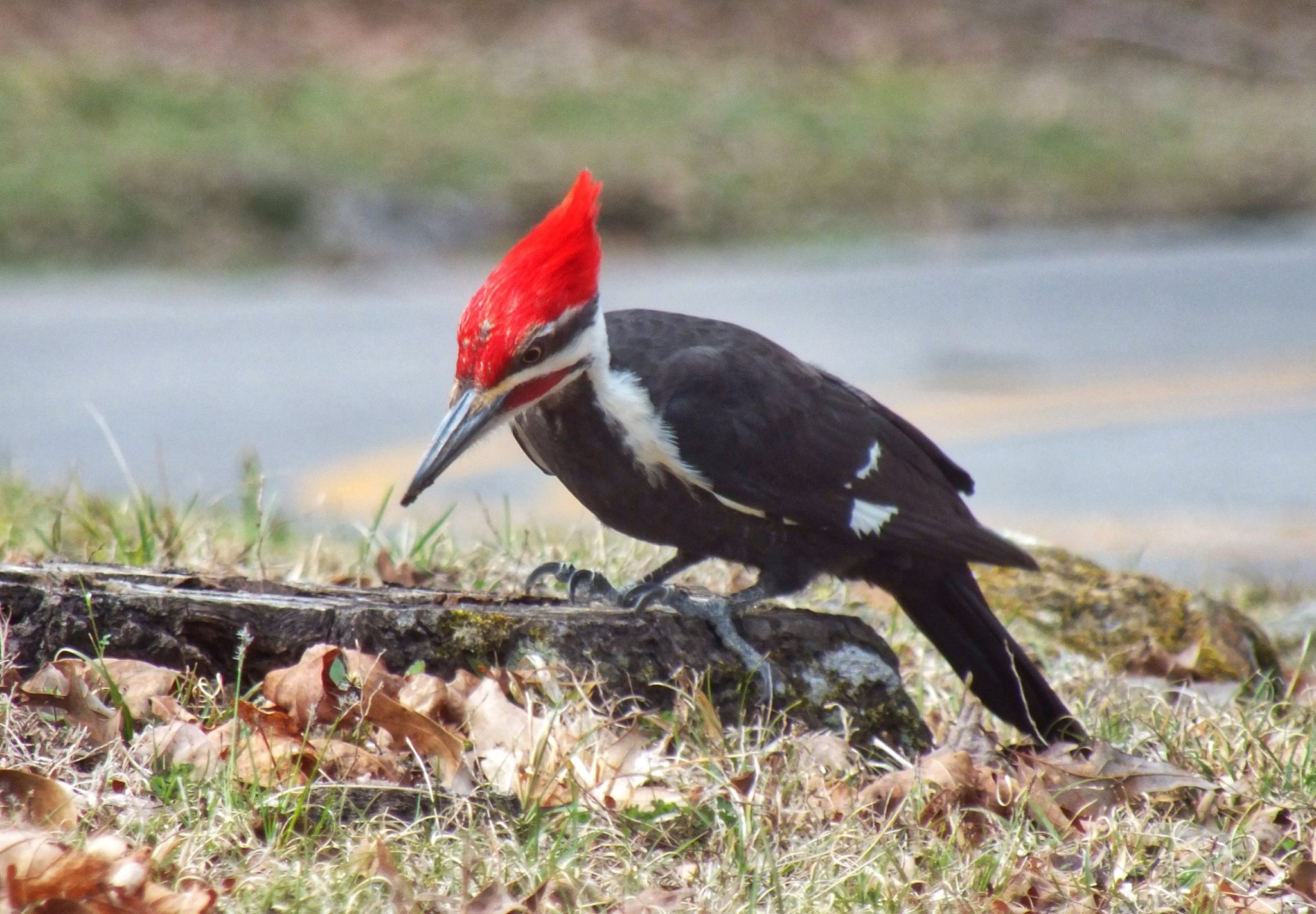
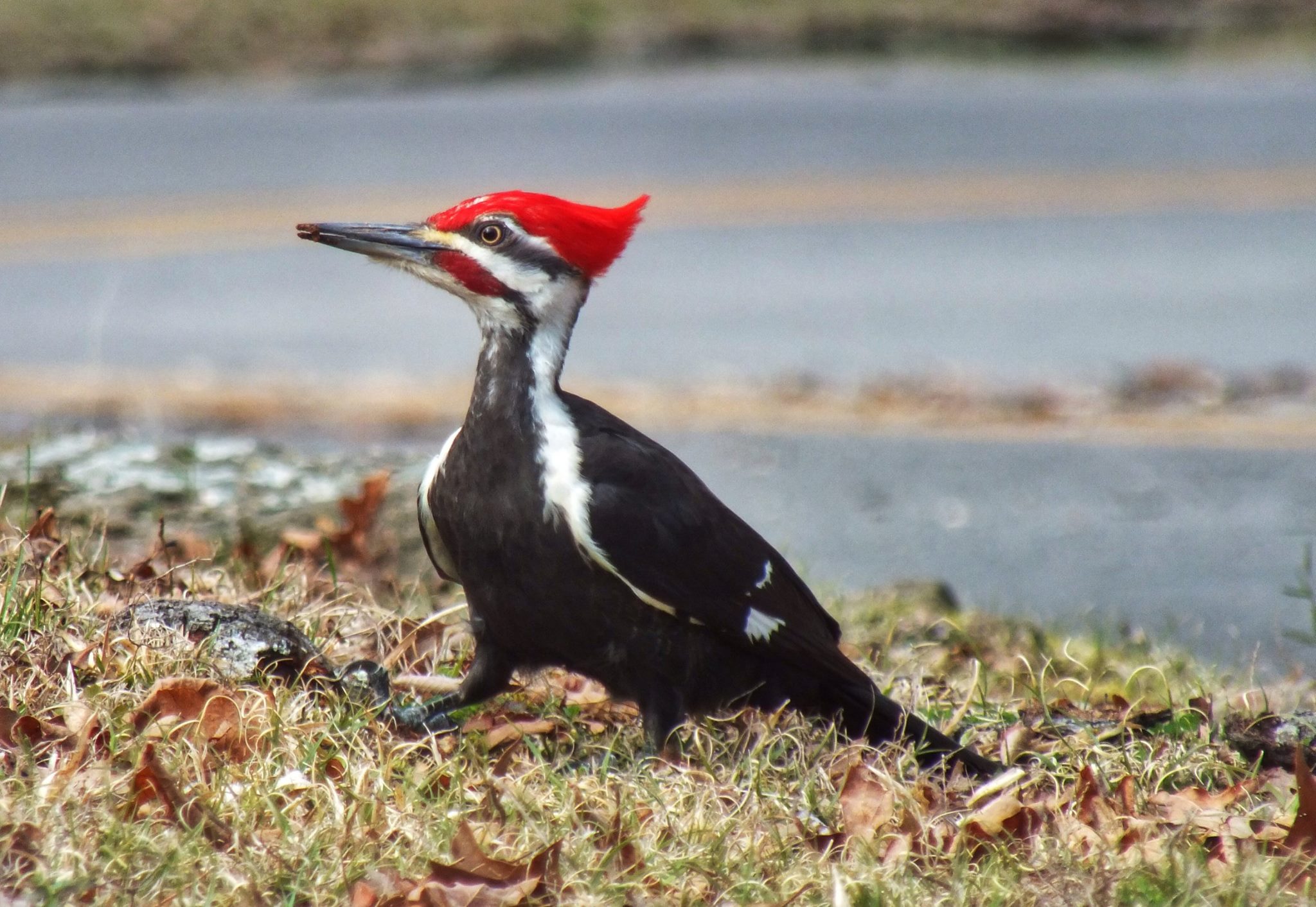
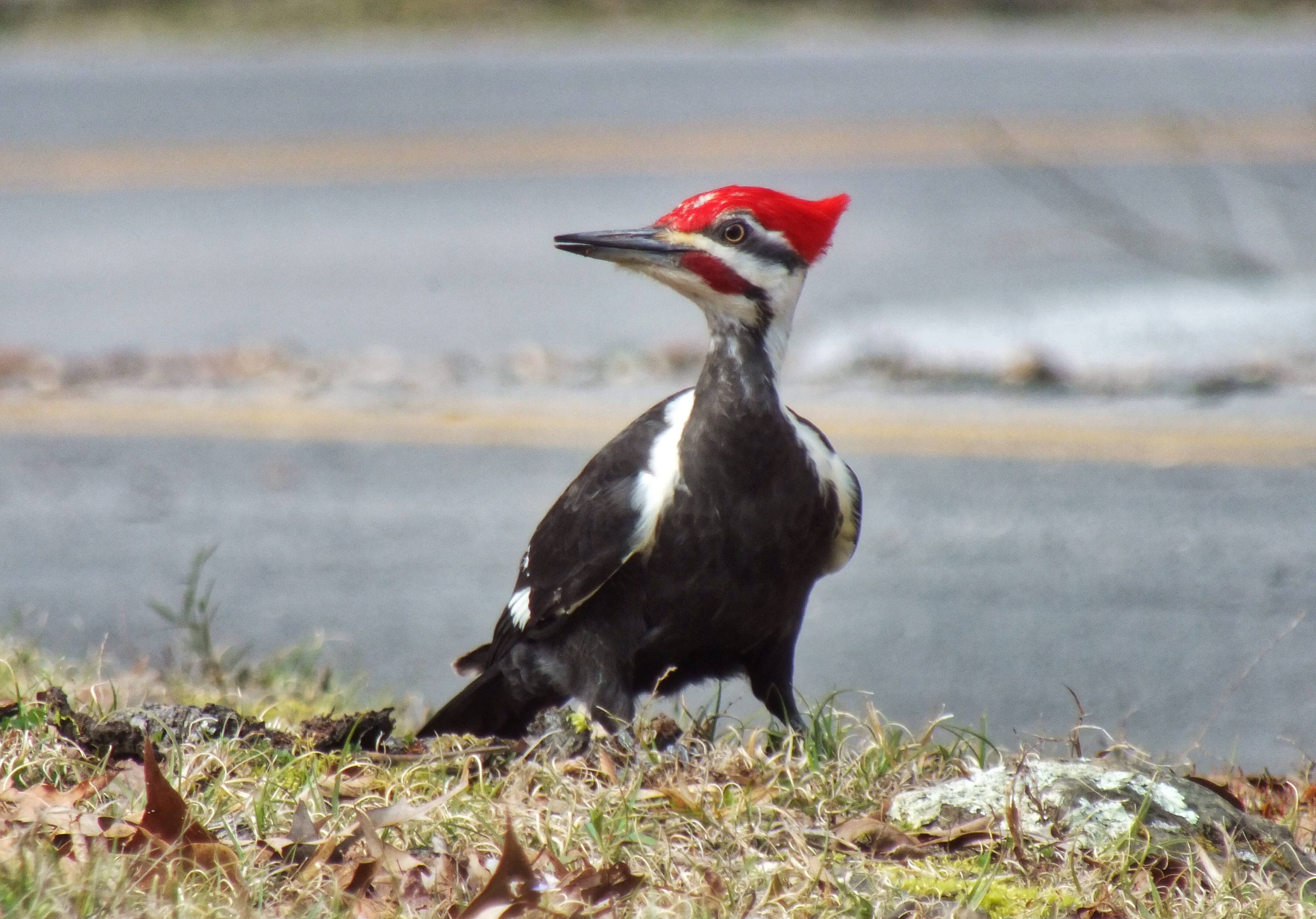
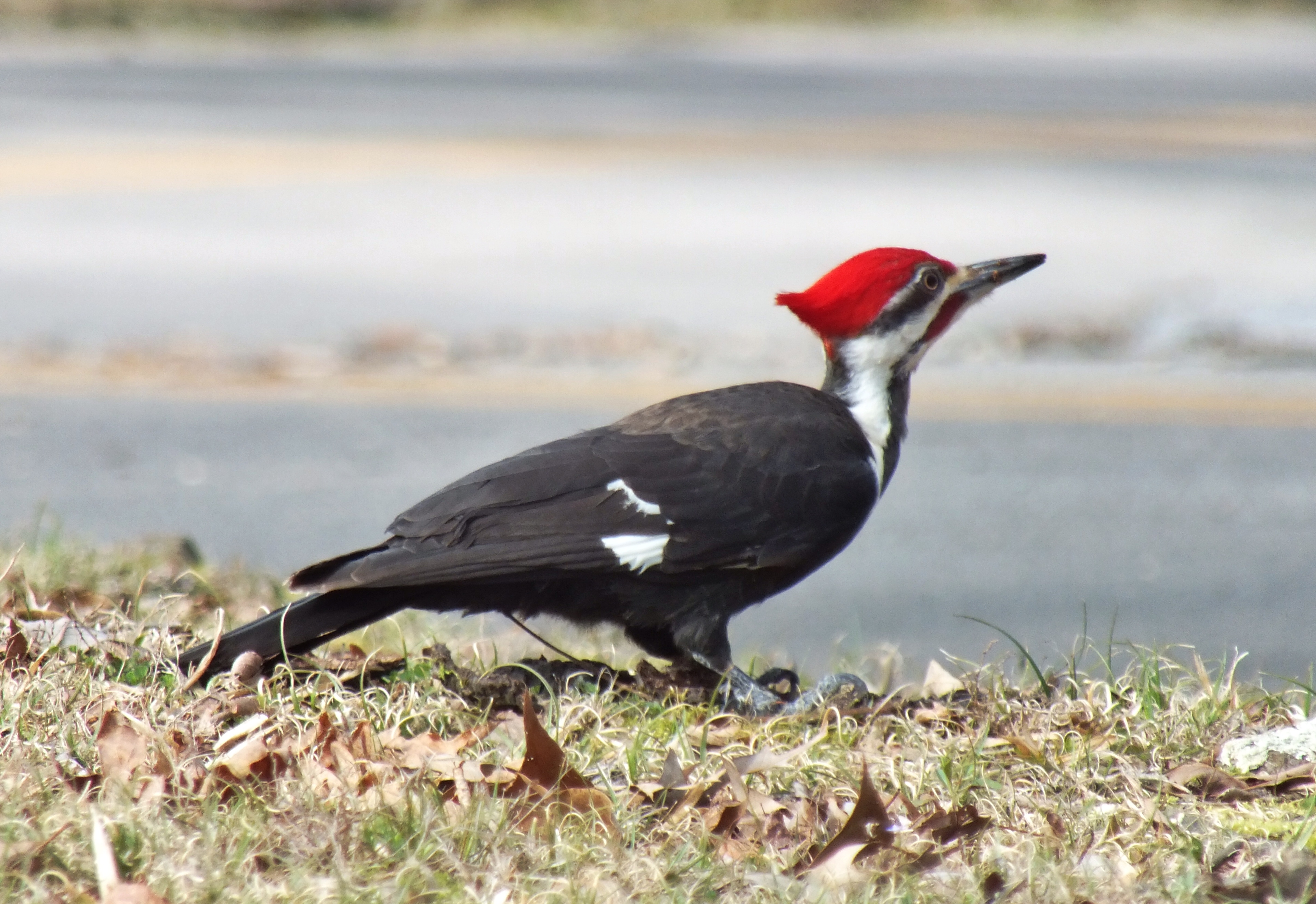
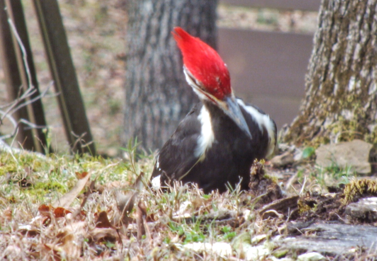
On Wednesday morning of our camping trip, I drove to the visitor center to look for ice. As I was leaving, I noticed a male Pileated Woodpecker on a stump in a small grassy area surrounded by roads and parking lot. I pulled my car within about 30 feet and took these photos and videos through the open window. As you can see, it wasn’t bothered by passing cars, but when three people walked by, it took off. They never noticed, which I always find amazing.

11080537_10205545437170784_2189719249783901075_o

11051828_10205545436770774_1182126093362563105_o

11035542_10205545436690772_1398956530694762883_o

11026065_10205545437290787_3791625268301108679_o

IMG_0961

IMG_0960

IMG_0959

In this video, he manages to extract a huge grub.


About halfway through this one, a Northern Flicker hops by to see what all the fuss is about.


Posted in Wildlife | Comments Off on Pileated Woodpecker

Camping at Devil’s Den

We made our annual spring camping trip to Arkansas and spent six nights at Devil’s Den State Park with family. Our site was on the bank of Lee Creek, and we could hear the nearby rapids all night long.

IMG_0903

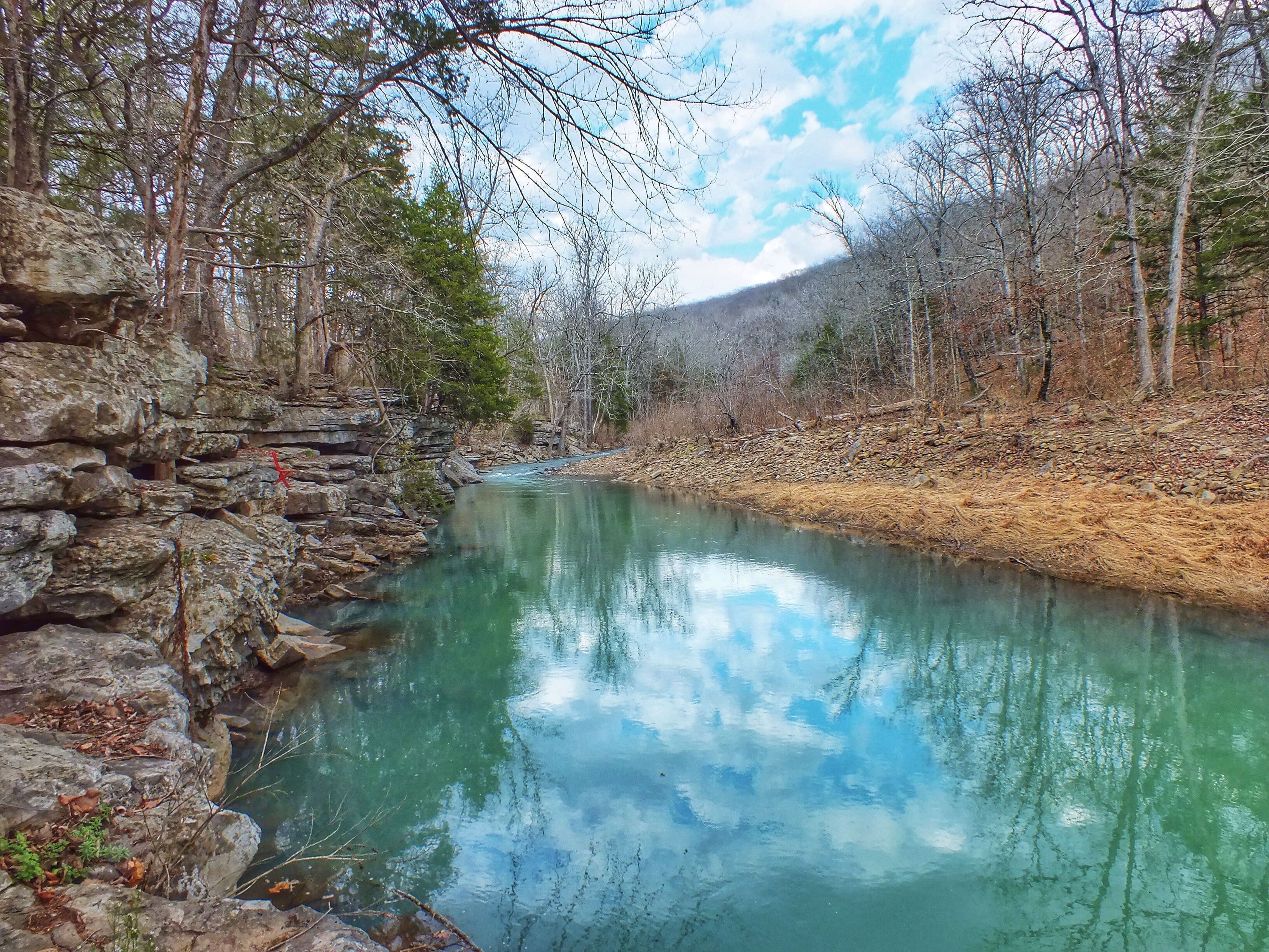
I’m not sure why the creek is light blue-green most of the time, but that’s its natural color.

IMG_0917

IMG_0916

IMG_1091

IMG_0915

The weather for the first three days was hot and sunny. On the third night, a long thunderstorm rumbled through and cooled things off. It also left us with a swimming pool in the basement of our tent. We stayed dry because there were two plastic sheets, the tent bottom, a layer of canvas, and thick air mattresses between us and the ground, but we had to take everything apart and dry it off on Wednesday. Fortunately, we had a sunny, breezy afternoon to do it in, so it only took us a couple hours.

IMG_0928

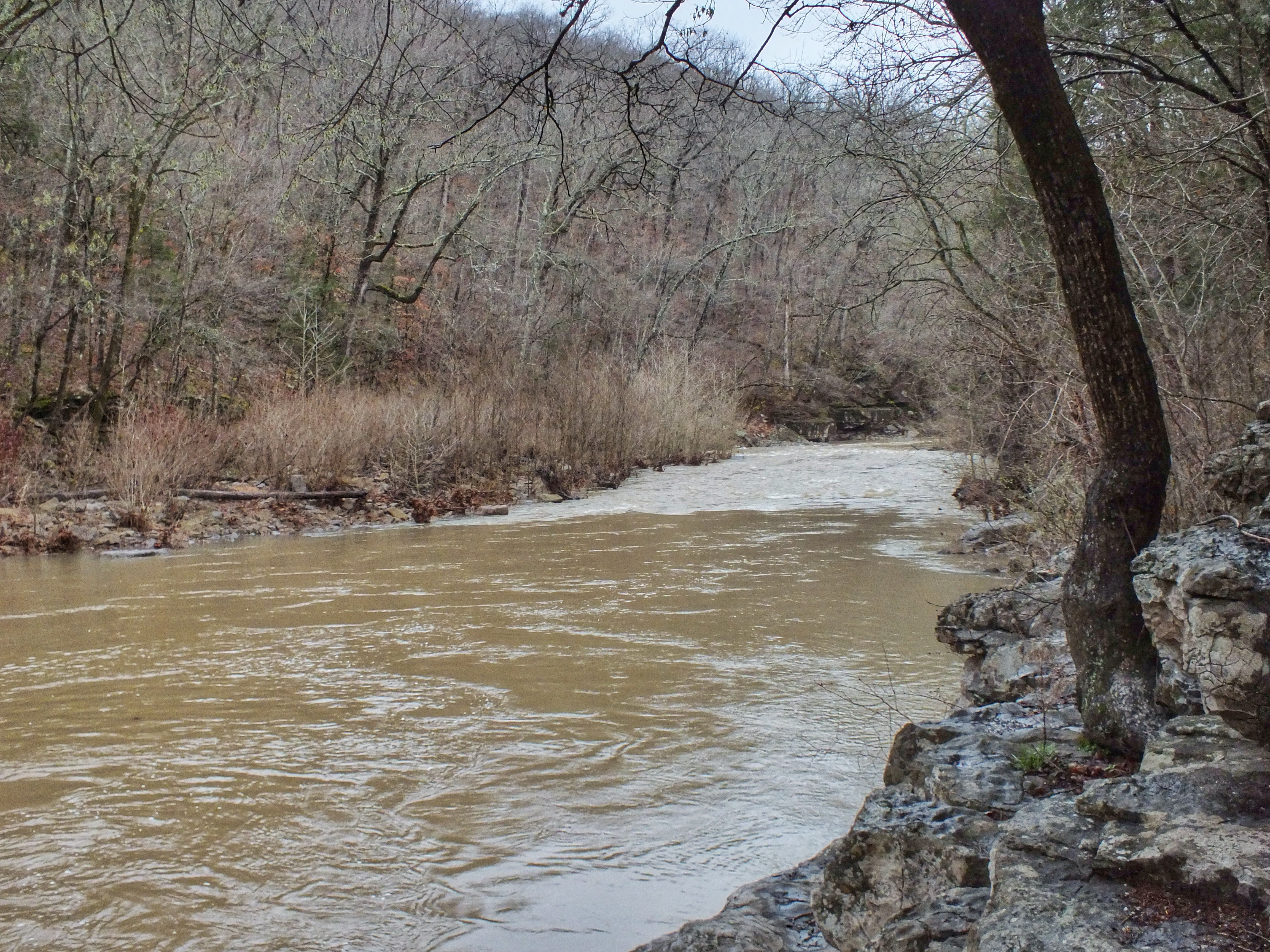
The creek was a different color — and a foot or so higher — for a day or so after the storm.

IMG_1015

IMG_1011

IMG_1013

Here’s the same stretch of creek before the rain. You can see how much the water rose by how much of the yellow grass along the far bank is exposed.

IMG_0872

Here’s the waterfall right after the storm and then a couple days later when the water had regained most of its natural color.


IMG_1023

IMG_1014

IMG_0951

This bend in the creek is located about half a mile downstream from our campsite. The two shots are from approximately the same place, but in the second one I was standing on top of the bluff.

IMG_1088

IMG_1027

IMG_1026

Here’s the same bend from the other side.

IMG_1025

I spent most of Tuesday doing very little. I sat in this chair and read and watched birds flying along the creek. I even squeezed in a nap.

IMG_0902

Posted in Arkansas | Comments Off on Camping at Devil’s Den