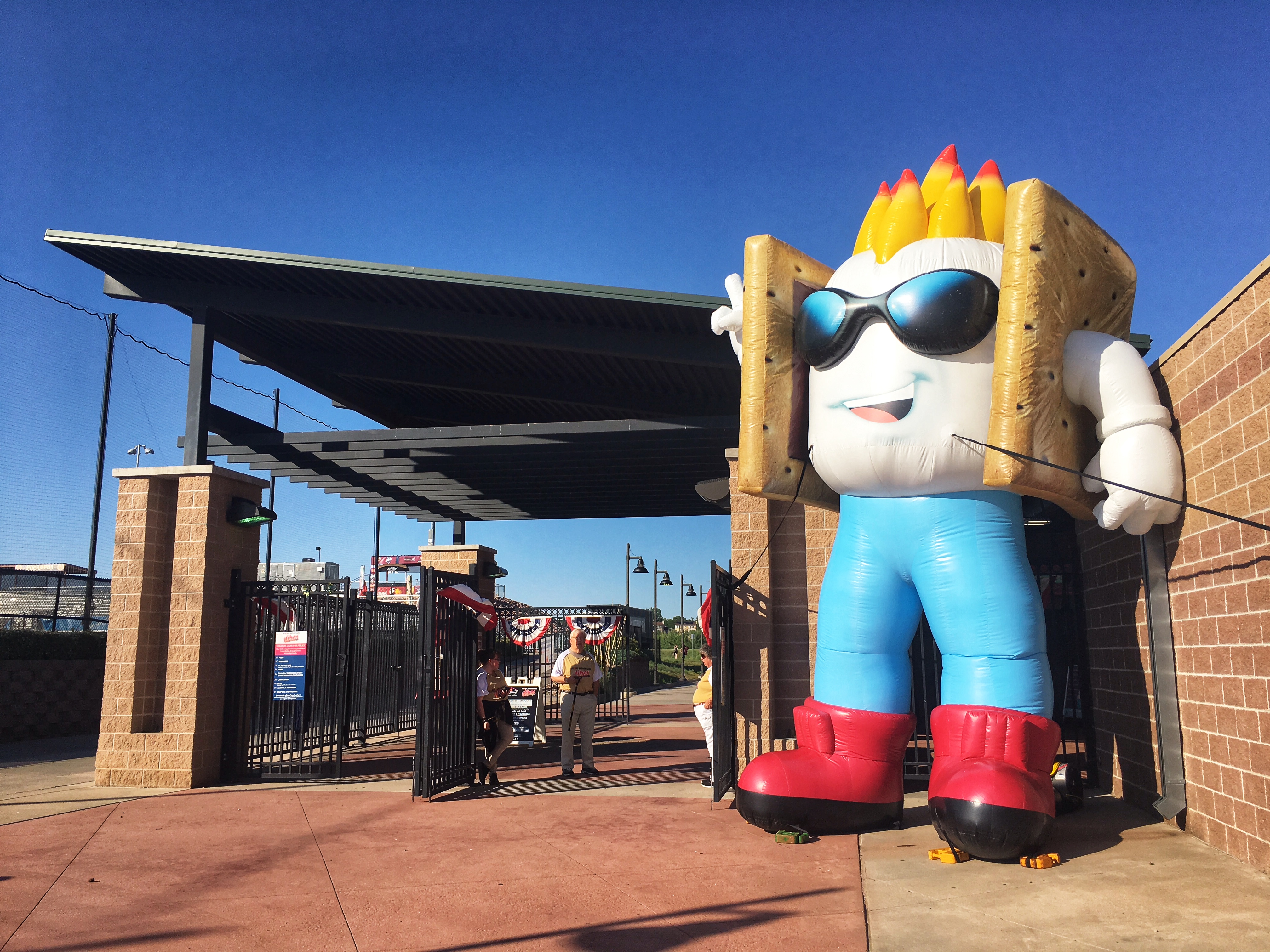
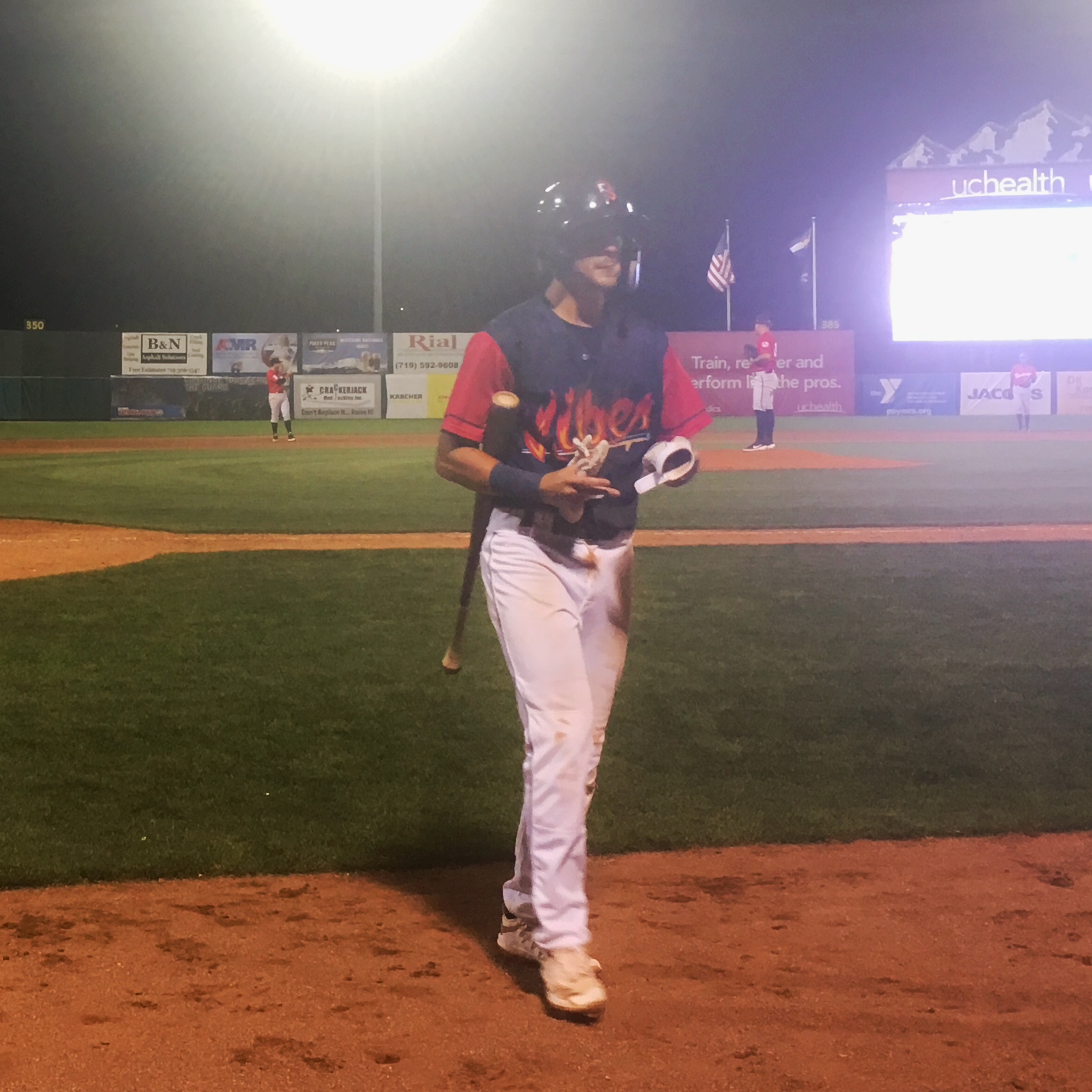
The AAA Colorado Springs Sky Sox have taken off for greener pastures, or at least for pastures where it doesn’t storm every evening and the ball doesn’t travel ridiculously far. In their place, Colorado Springs is now home to a short-season Rookie-Advanced team, just a half-click above the absolute bottom level of pro ball.
The new team is called the Rocky Mountain Vibes. In the program, the name is explained like this:
In June of 2018, a “Name Your Team” contest was issued to residents of Colorado Springs to engage the community with the rebranding process. the team received over 2000 name suggestions, indicating the excitement about the new team!
In July, we announced the five finalists and allowed our fans and our community to vote on a potential name for the next chapter of baseball. The goal was to represent the different elements of colorful, warm Colorado Springs, but the five remaining finalists didn’t quite seem to fit. So, the search for a new name and brand continued.
President and General Manager Christ Phillips sought a name to represent the region on a greater scale, one that checked all of the boxes. Phillips was intrigued by the “Happy Campers” finalist choice. He often wondered what made the Rocky Mountains such an enjoyable place to experience and live in. Was it the scenery? The weather? The vibe? Therein lies the answer and our eventual name of the team. The Rocky Mountain Vibes. It is an emotion that encapsulates all of Colorado’s beauty and the feeling of enjoying our community and the outdoors, whether it’s hiking a trail or sitting by a campfire.
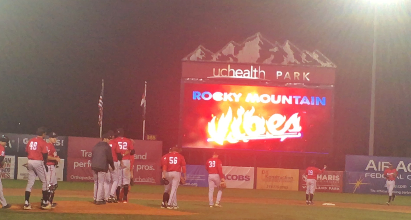
In other words, who cares about the fans. We’ll just go with some stupid name and logo we came up with ourselves. I suspect “Rocky Mountain Oysters” won the contest, and the team just couldn’t handle that. Along the way, the name of the park changed from Security Service Field to uchealth Park — which any normal person would pronounce as “yooch elth.”
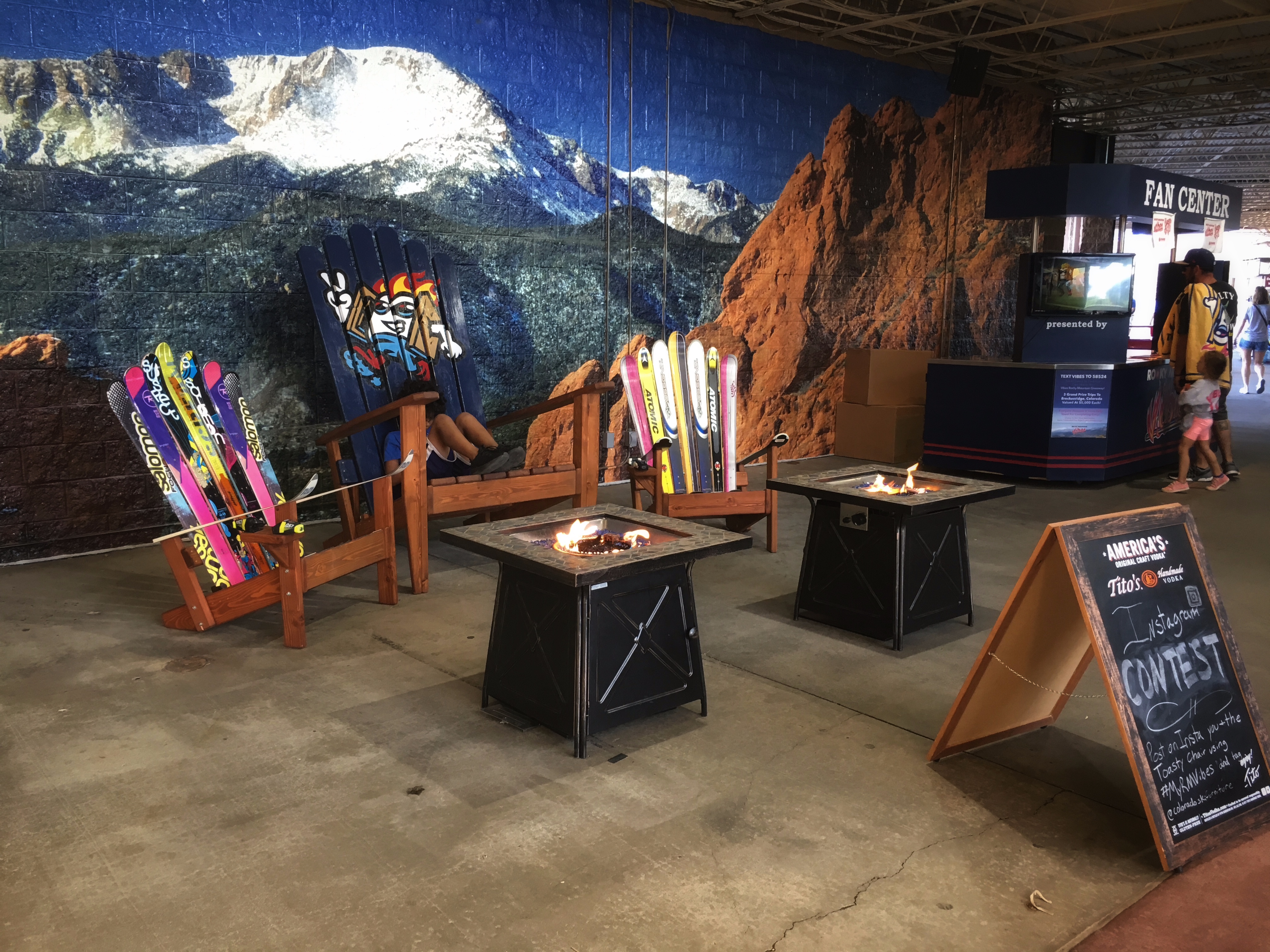
There is certainly more team branding around the park than there was when the Sky Sox played there.
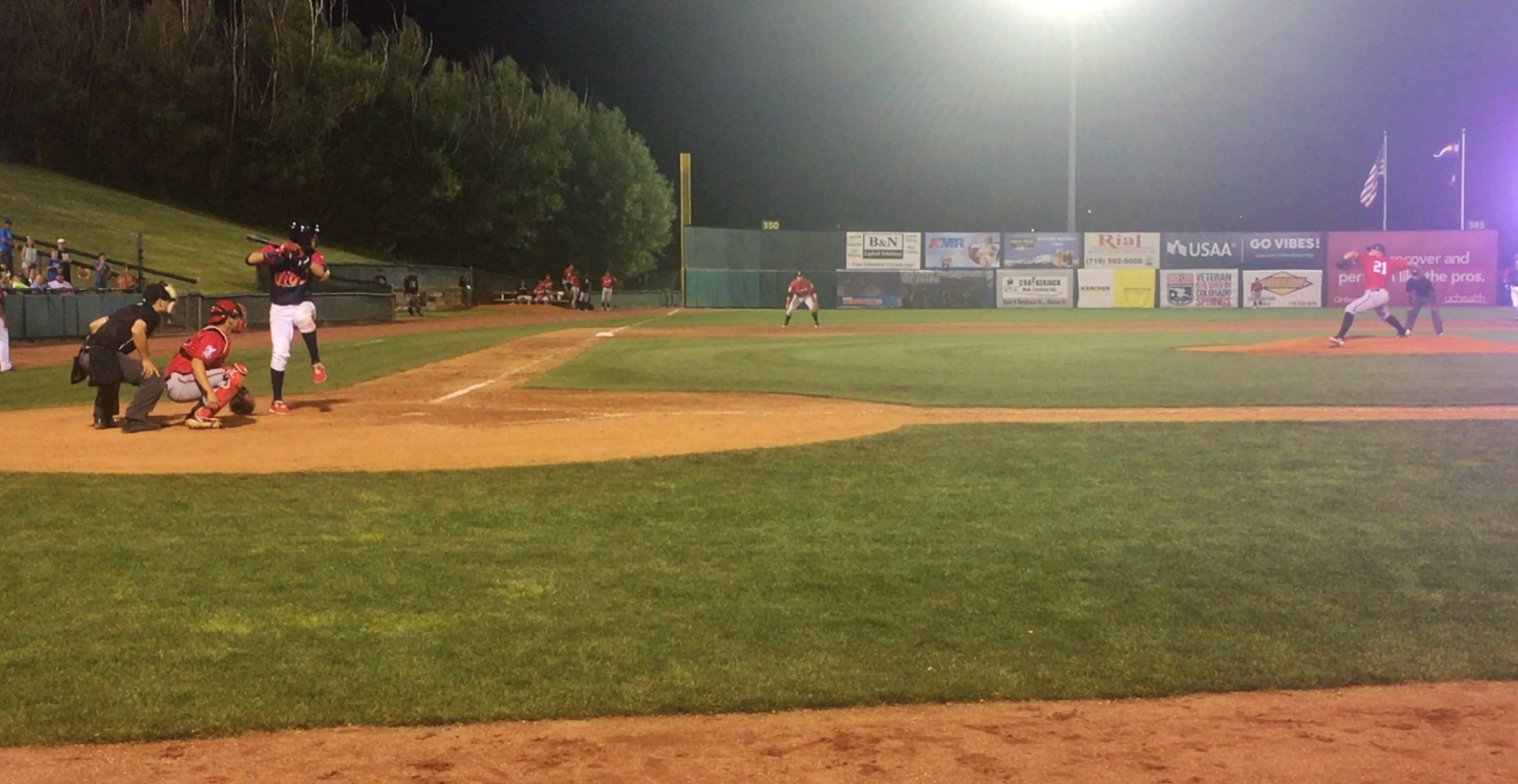
I didn’t buy my tickets ahead of time, but there was no need. I got a seat in the third row behind home plate. It was only $3 more than the seats on the incredibly uncomfortable ridged benches that fill the rest of the park.
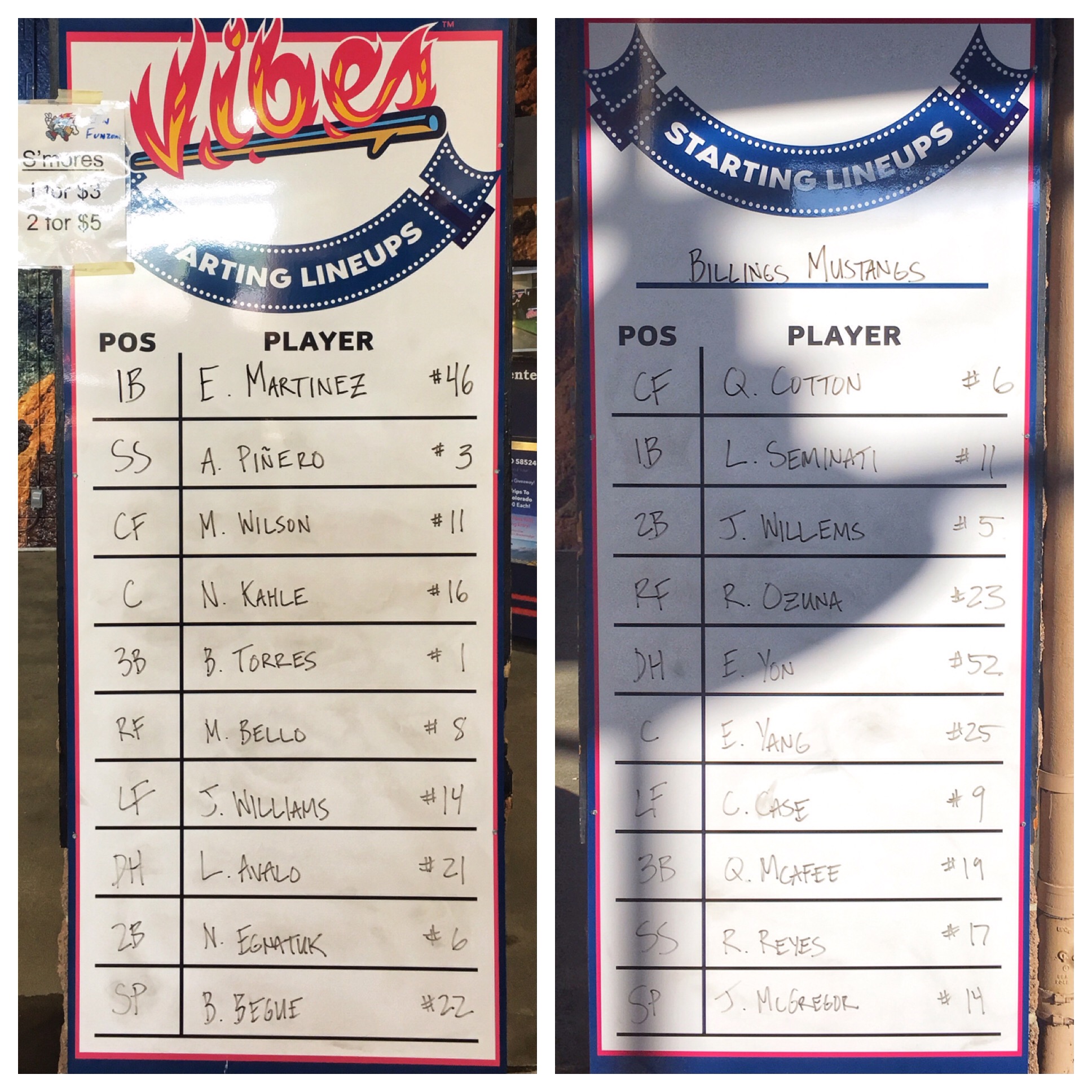
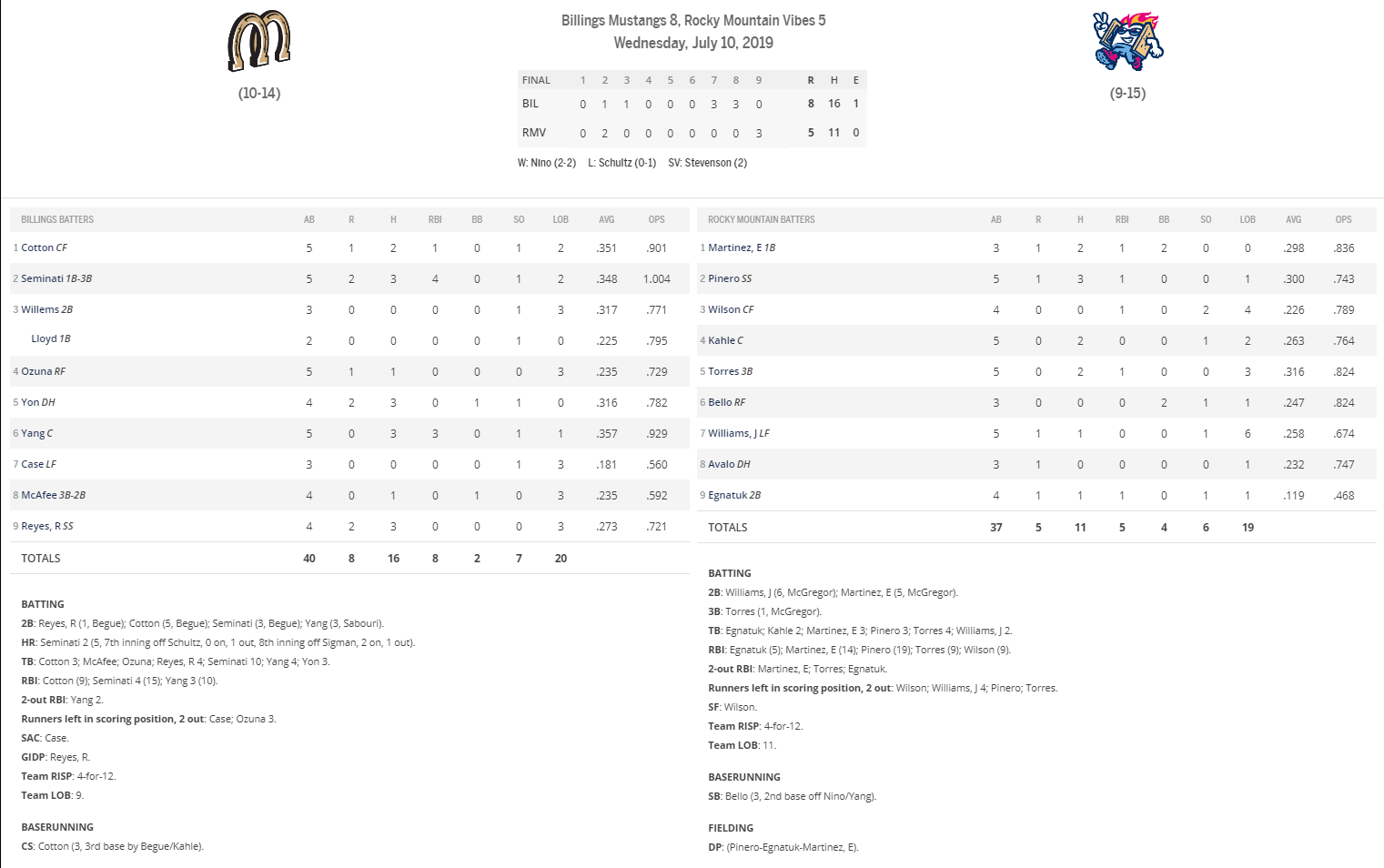
Most of the players will never make it to the Majors, but their talent is far above that of the average fan. I found myself rooting for whichever team was at bat. Both teams scored two in the early innings, but then things got flat for a while.
Billings scored three runs in the seventh and again in the ninth to take a big lead. The Vibes scored three in the bottom of the ninth and loaded the bases to bring the winning run to the plate, but the next batter lifted a lazy fly to center and the game was over.
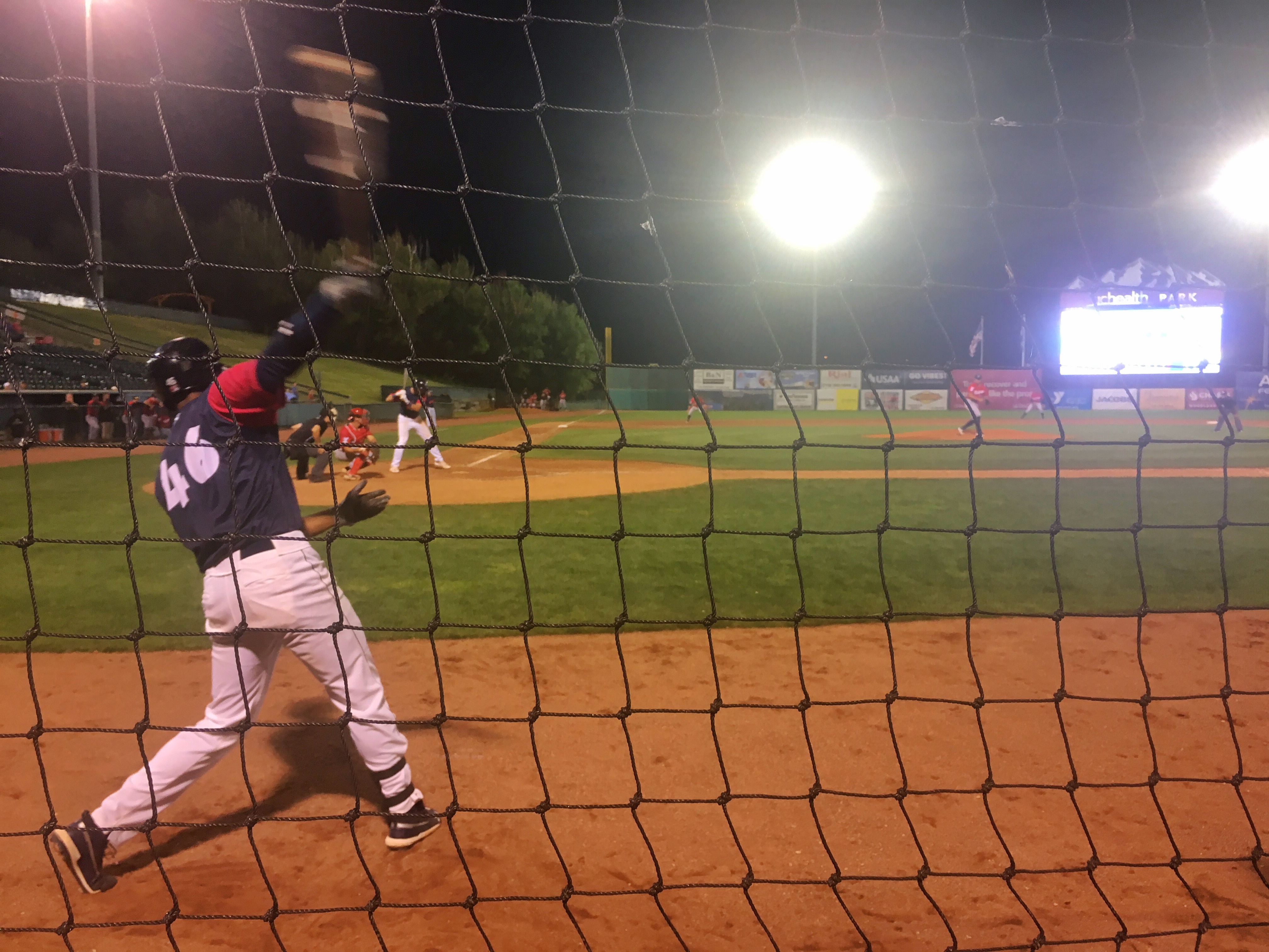
For the last half inning, I moved over to the front row next to the Vibes dugout to get a different perspective. I was about three feet away from the Vibes’ on-deck circle.
Posted inBaseball|Comments Off on Rocky Mountain Vibes vs. Billings Mustangs
I got wind that Over the Rhine was coming to Denver on the Saturday after the Fourth of July. I went online to buy tickets and discovered they were appearing in Colorado Springs a night earlier. That made things even easier.
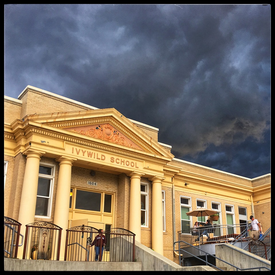
The concert was at Ivywild School, an old elementary school that’s been turned into an event center of sorts. Concerts are held in the old gym which seats perhaps 200 people. We arrived early enough to enjoy a couple of decent cheeseburgers in the Principal’s Office in the school. The doors opened an hour before the concert. We weren’t part of the first push to get in, but were still in time to get seats in the third row.
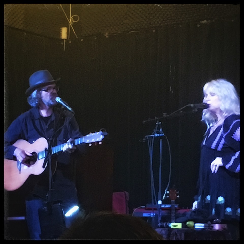
It was a lively concert. Brad Meinerding was with them, as he has been for the prior two times we’ve seen them. There was also a second guy playing keyboard and drums. Many of the people in the crowd were huge fans who had been to prior concerts and knew the songs. Karin and Linford did their usual joking around between songs. It would be hard for the experience to be better than the first time we saw them, but this one was close.
I was taping this next song on my phone when my phone battery died. I grabbed my wife’s phone and taped the end, but there’s a decided gap in the middle.
After the concert, Karin and Linford came back into the room to greet people, sign albums, and get their pictures taken. I bought their latest album, Love & Revelation, and we stood in line to get it signed. We talked with them for a couple minutes and got our picture taken, but it was a bit awkward and not a notable part of the evening. Over the Rhine hadn’t been to Colorado Springs in 20 years (they’ve been touring for 30). Karin said they would like to make it an annual stop. That would be very cool.
Clive Cussler used to write adventure novels about a guy named Dirk Pitt who searched for sunken ships, drove antique cars, attracted women, and solved mysteries. I used to read them, and even enjoy them. But after a while, the novels became so formulaic that I couldn’t tell them apart. When Cussler began letting other people write his books for him, I gave up.
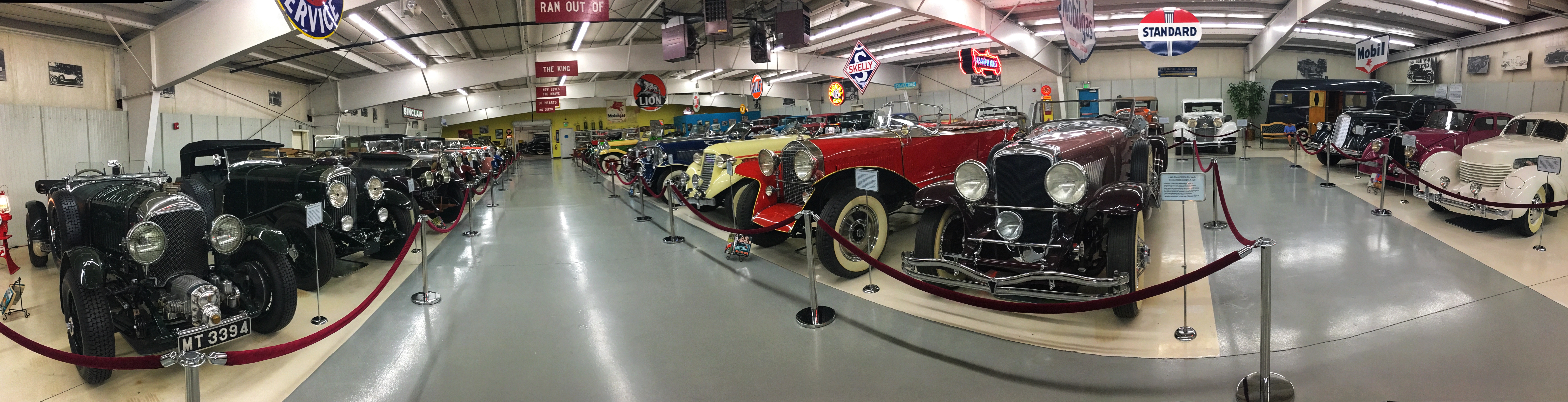
Many of the antique cars Cussler featured in his novels are ones he actually owned. Several of them are on display in a small museum in a warehouse in Arvada. I hadn’t expected to get back from Wyoming until Tuesday night. So here I was with a day off and nothing to do. I drove up late in the morning and spent about an hour wandering about the two rooms of cars. If a car had been featured in a novel, a copy of that novel was on a stand in front of it. The guy who restores and takes care of the cars was there, acting smug.
It probably wasn’t worth a trip through Denver just to see it, but the cars were beautiful and I had nothing better to do.
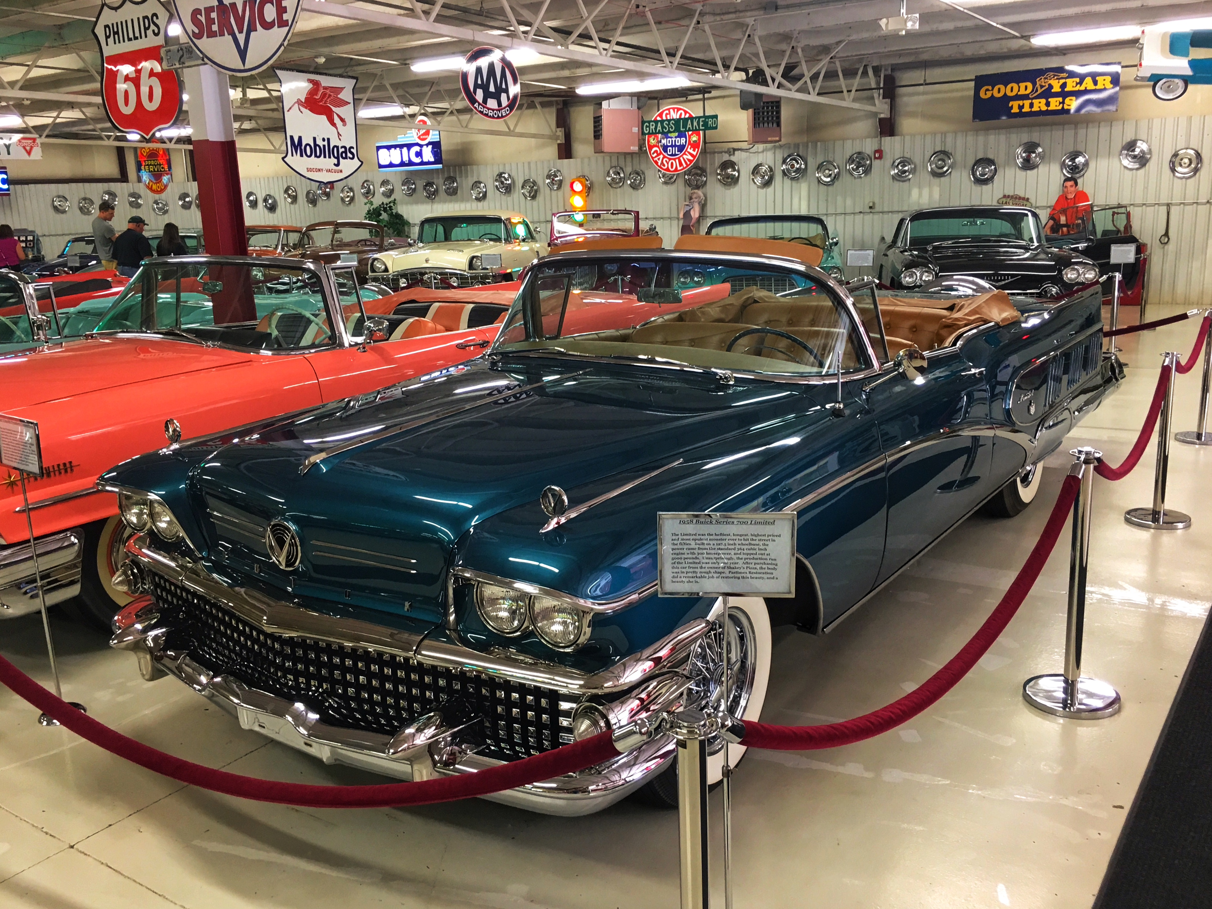
1958 Buick Series 700 Limited. The sign says it was the longest car in the 50’s, at just under 19 feet.
I’ve always liked boattails. This is a 1929 Duesenberg Torpedo Convertible Coupe.
These three boat tails were my favorites (except for the icky yellow color on the ’36 Auburn). They are (l. to r.) a 1930 Packard Speedster 8 Runabout, a 1932 Auburn V-12 Boattail (my favorite car in the museum), and a 1936 Auburn Speedster.
A back view of the same three cars.
Front view of the 1932 Auburn. The light on the front of the bumper turns with the steering wheel.
1932 Stutz Boattail DV-3 Speedster.
A 1936 Pierce-Arrow V12 Berline with a matching Travelodge Trailer. When Pierce-Arrow sales dropped, the company made a last-ditch effort to survive by building trailers. This one slept four (tightly) and had a tiny bathroom with a toilet. All the inside furnishings were birch. It was a thing of beauty.
A 1948 Delahaye Type 135, built in France.
1951 Daimler DE-36 Green Goddess. (Yes, I realize it isn’t green.)
1933 Lincoln KB-Series V-12 Limousine.
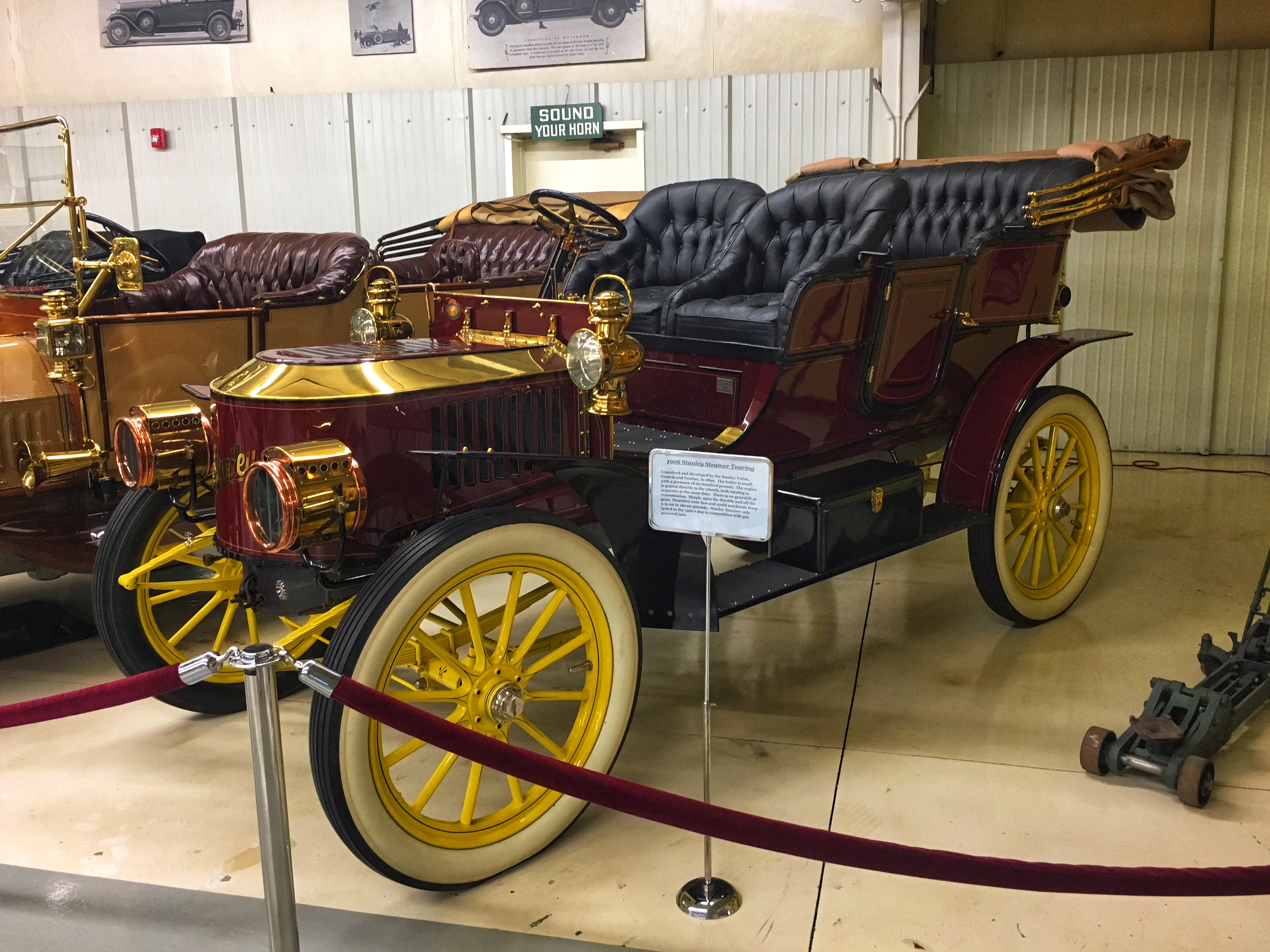
1906 Stanley Steamer Touring. It has no transmission or gearshift — when the throttle was opened, it started moving. It could go 0-60 in 11 seconds.
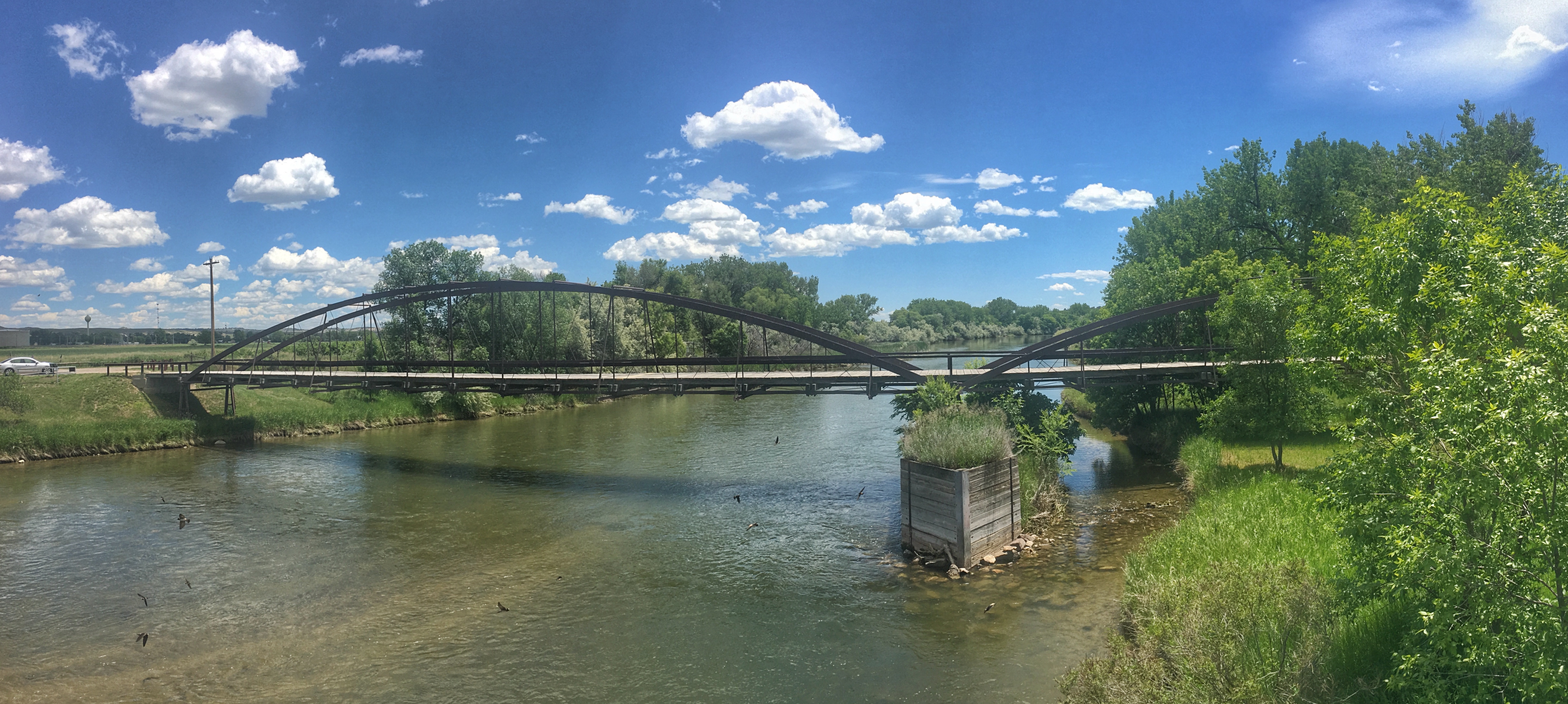
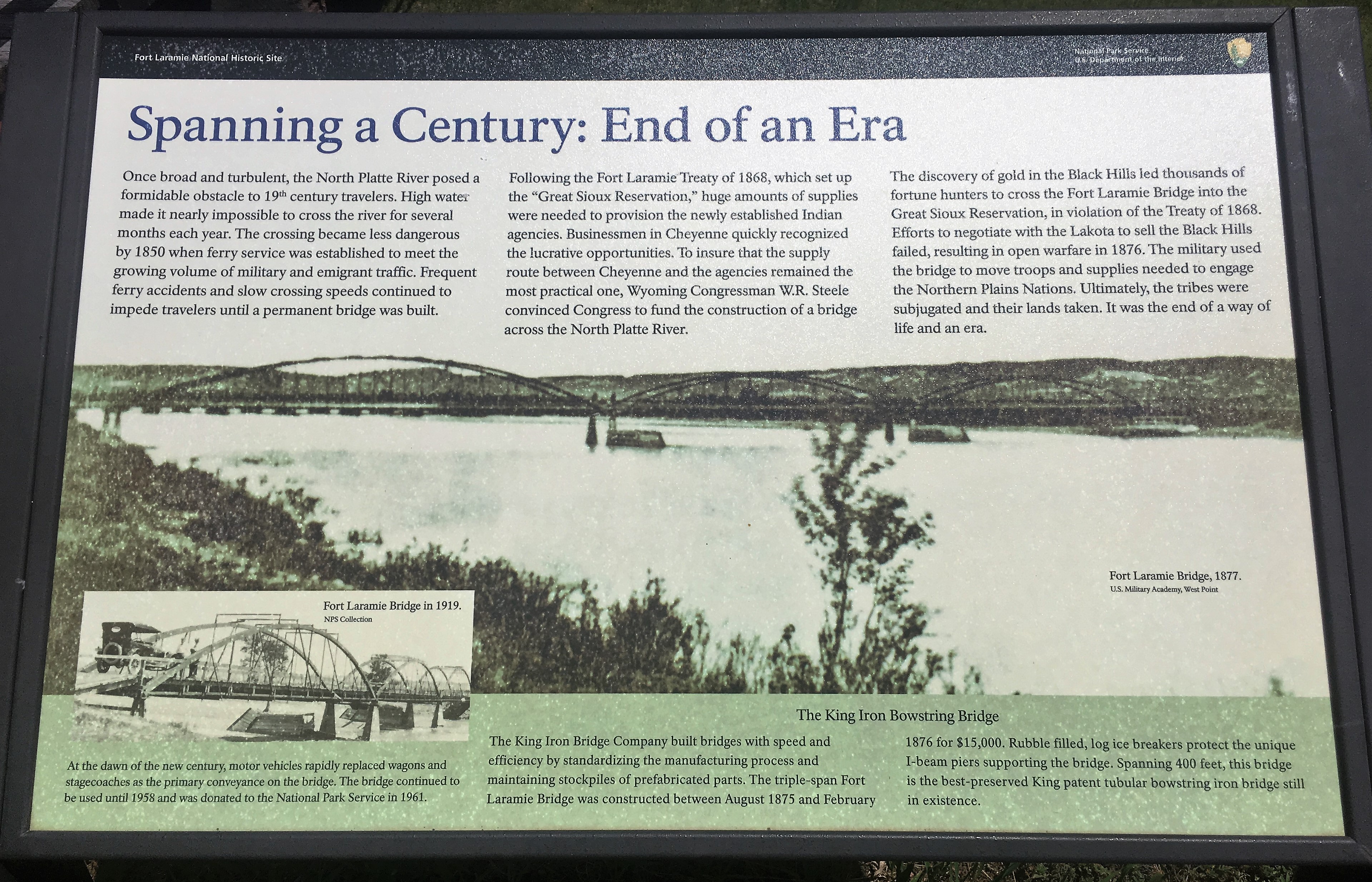
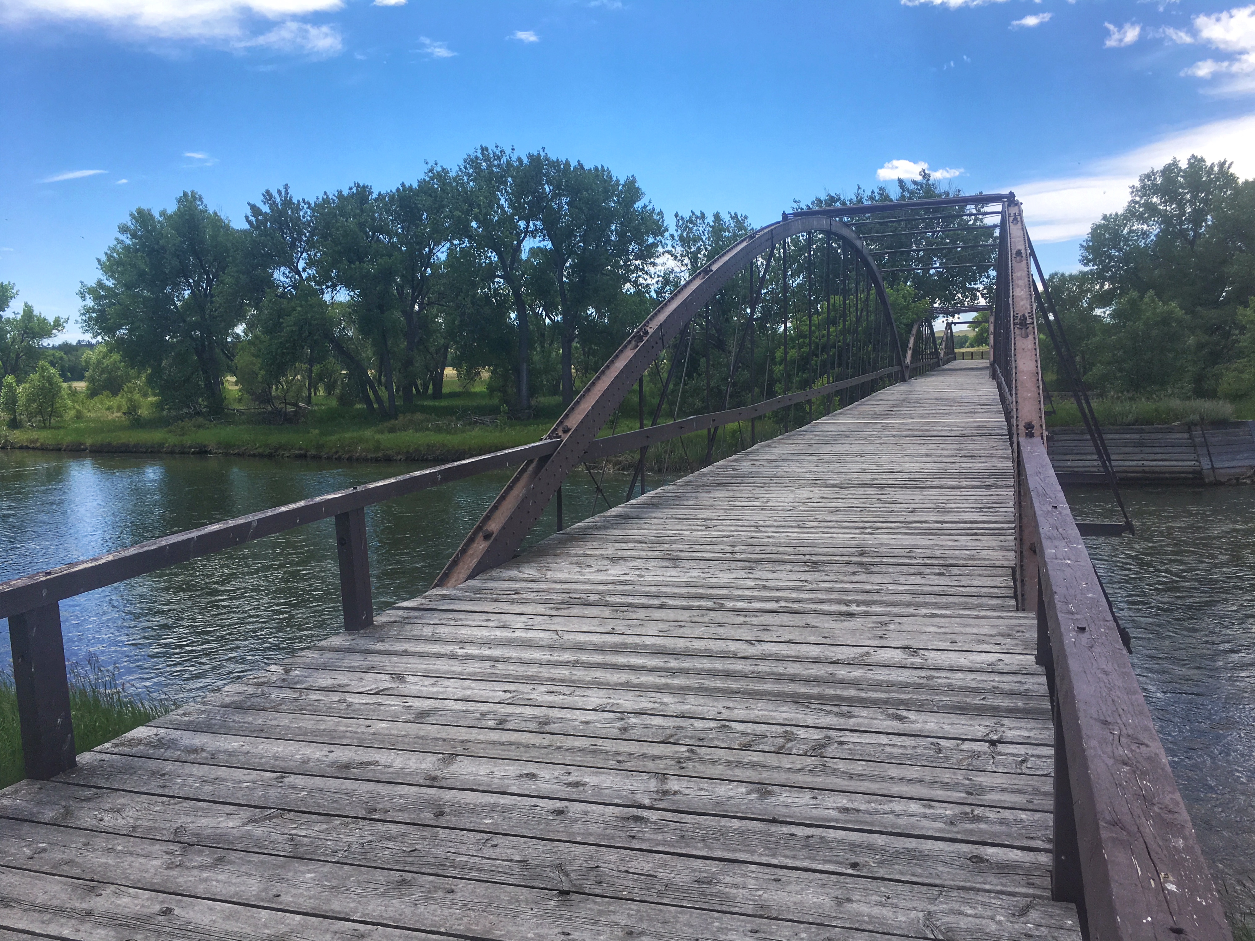
I arrived at Fort Laramie around 1:30 on a warm, sunny afternoon. I stopped to see the old Army Bridge over the Platte River, built in 1875. At that time, the river was much wider and so the bridge is now much longer than the river is wide. The bridge was impressive, but the chief attraction was the huge flock of Cliff Swallows that nested under the modern bridge 30 yards or so downstream.
The fort itself was a mile or so further on. There were other visitors, but it certainly wasn’t crowded. I over-thought and parked in a picnic area which meant that I had a longish walk across hot parking-lot pavement to get to the fort. I was hoping the large cottonwoods would cast shade over my car before I returned. It didn’t happen, so I had a second long walk and a hot car at the end of my visit.
The first fort here — Fort William — was built as a trading post in 1834. It was replaced by a larger adobe fort — Fort John — in 1841. in 1849, when the Army decided it wanted a fort on this spot, it bought Fort John, renamed it Fort Laramie, and expanded it. It remained an active fort until 1890 when the Army moved out and sold the buildings at auction. Many of the original buildings are gone. Eleven remain and have been restored next to the ruins or foundations of several others. It was a large fort, so seeing it all involved a lot of walking. I spent two and a half hours, visited every building, read every sign, watched the video in the visitor center, bought some stuff in the gift shop, and, in short, did everything there was to do.
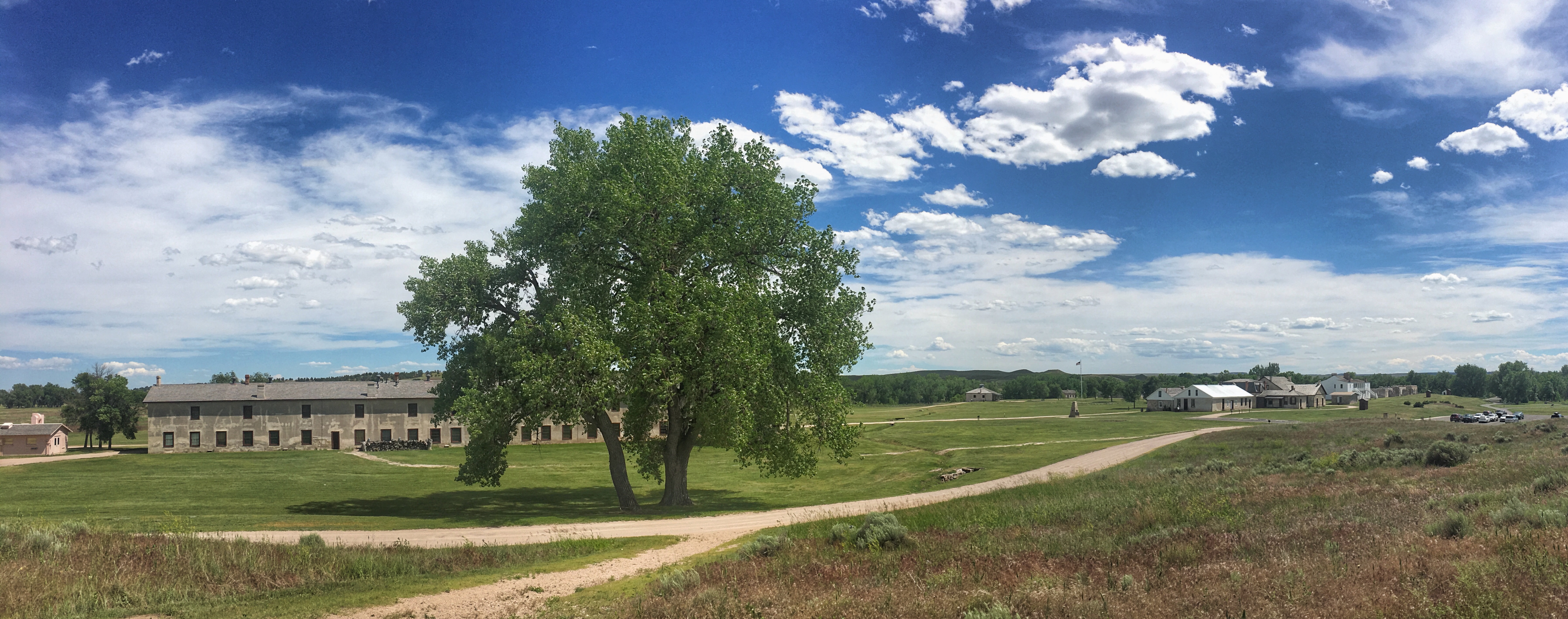
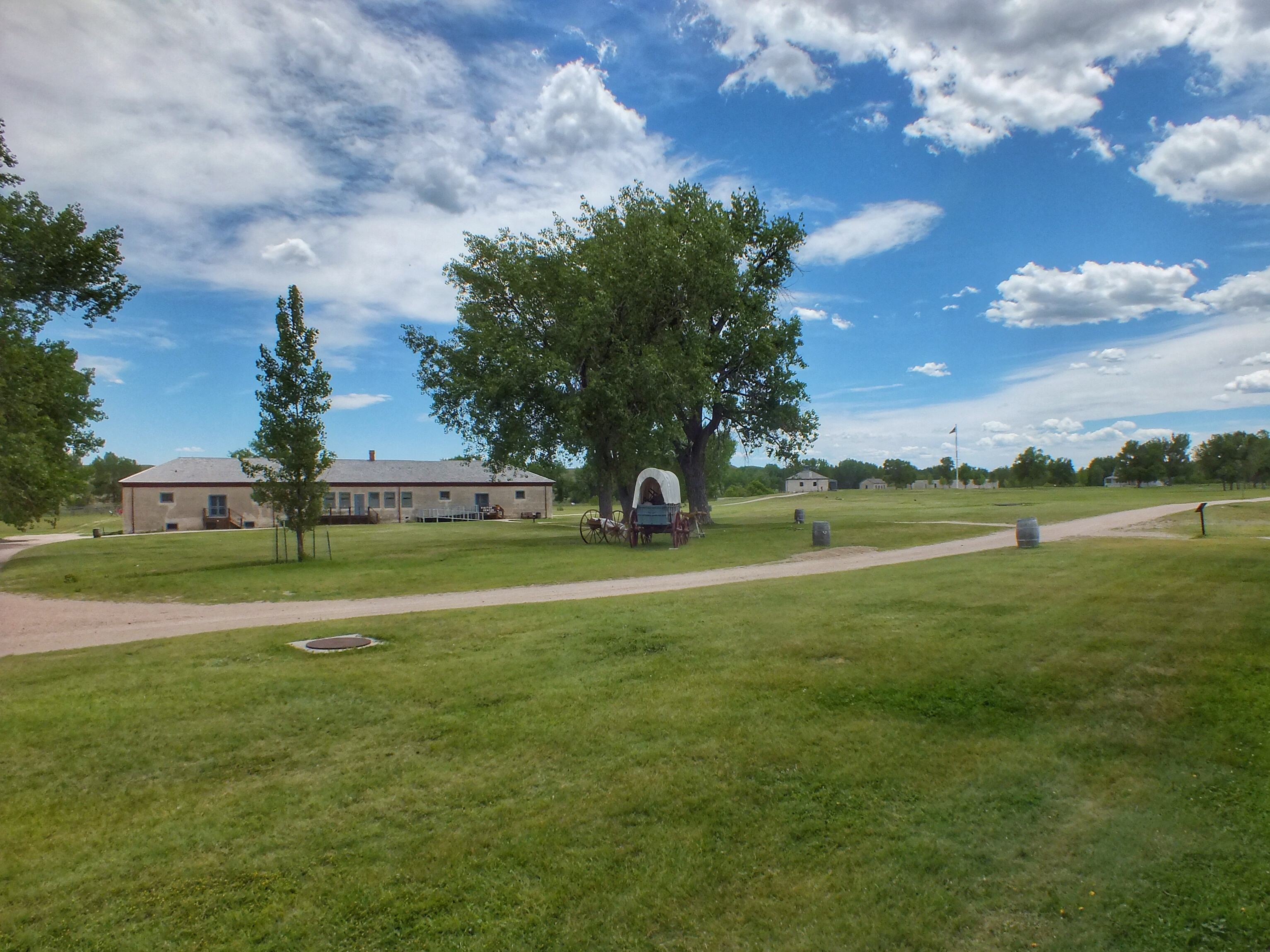
The Commissary Storehouse, built in 1884 and now housing the visitor center. The building in the right distance is the New Guardhouse. The flagpole is in the center of the parade ground.
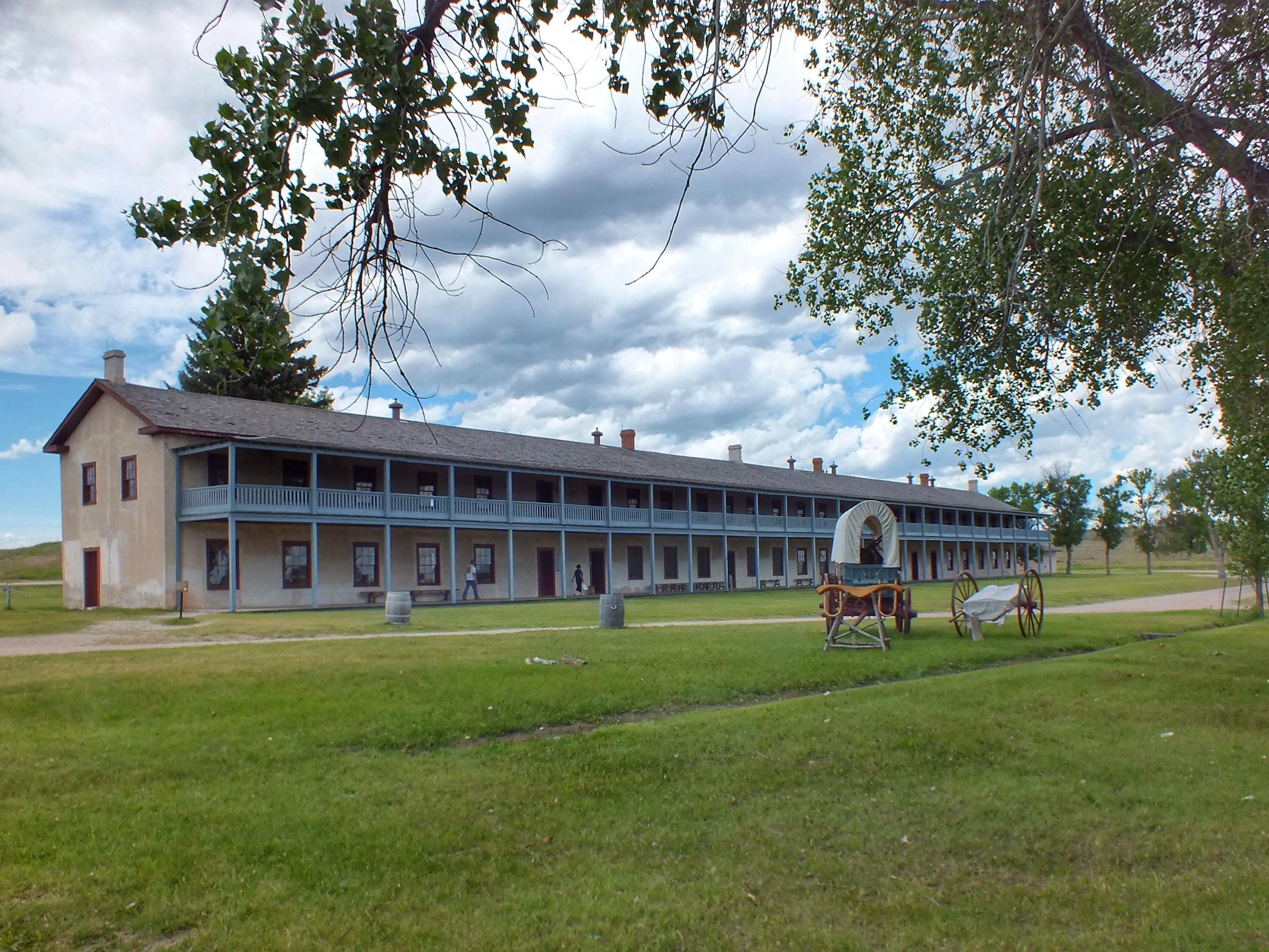
The Cavalry Barracks, built in 1874. The soldiers slept upstairs. Mess rooms and kitchens were downstairs.
General Sink (latrine) ruins. It was built in 1886. The sewage drained into the Laramie River in the background.
Looking back from the New Guard house toward (l. to r.) the Cavalry Barracks, the Commissary Storehouse, the Old Bakery (built in 1876), and the ruins of the New Bakery (built in 1883). The trench is the remains of the old irrigation system that carried water from the river.
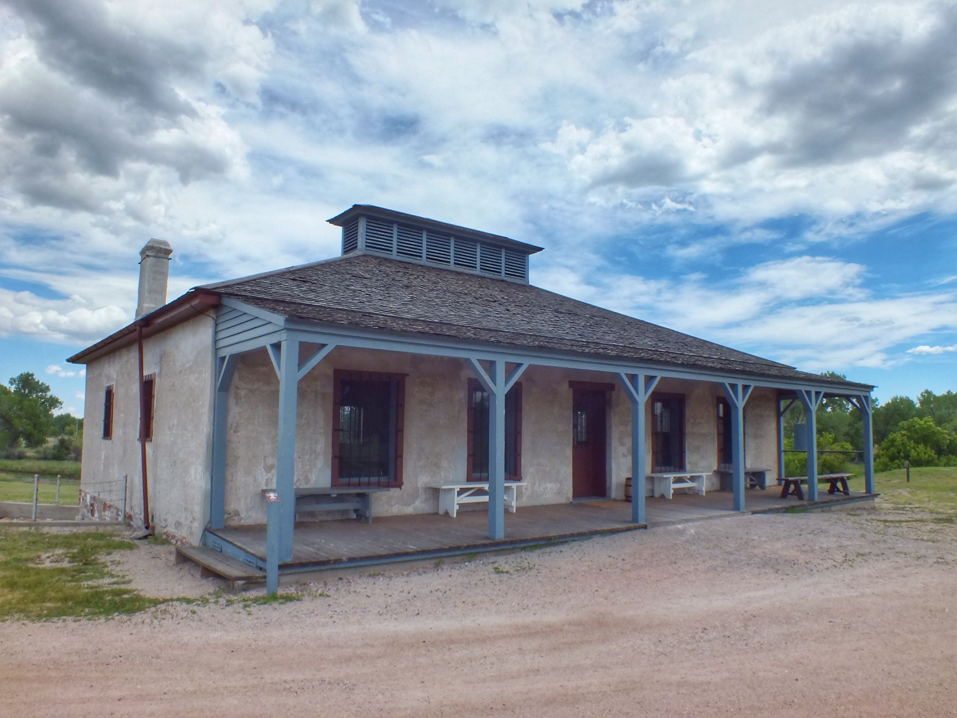
New Guardhouse, built in 1876.
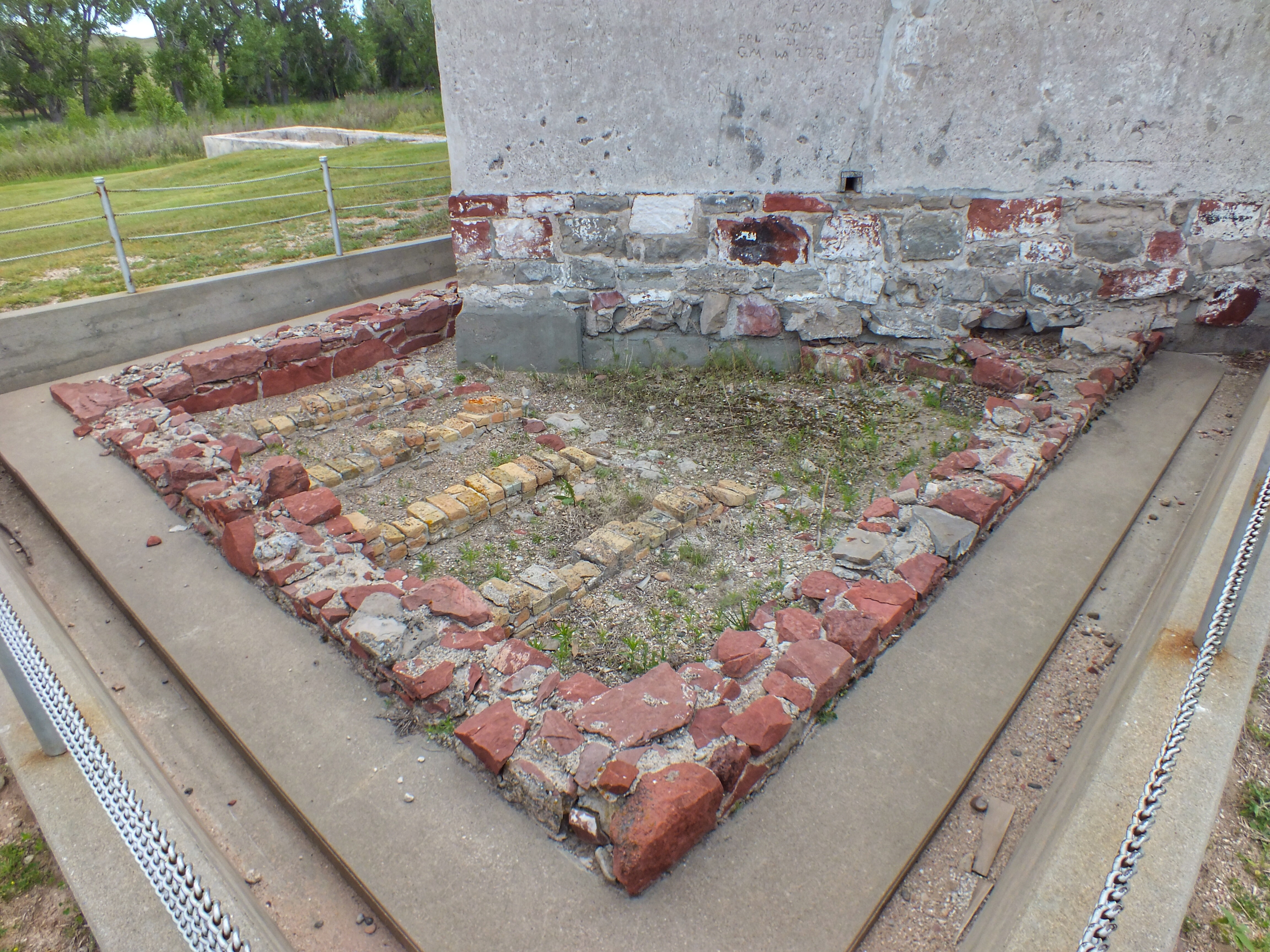
In the photo above, you can see a chained off area to the left of the guardhouse. That’s the foundation of an older guardhouse (below). That small area contained five cells which were five feet high, five feet long, and (I’d estimate) about two feet wide.
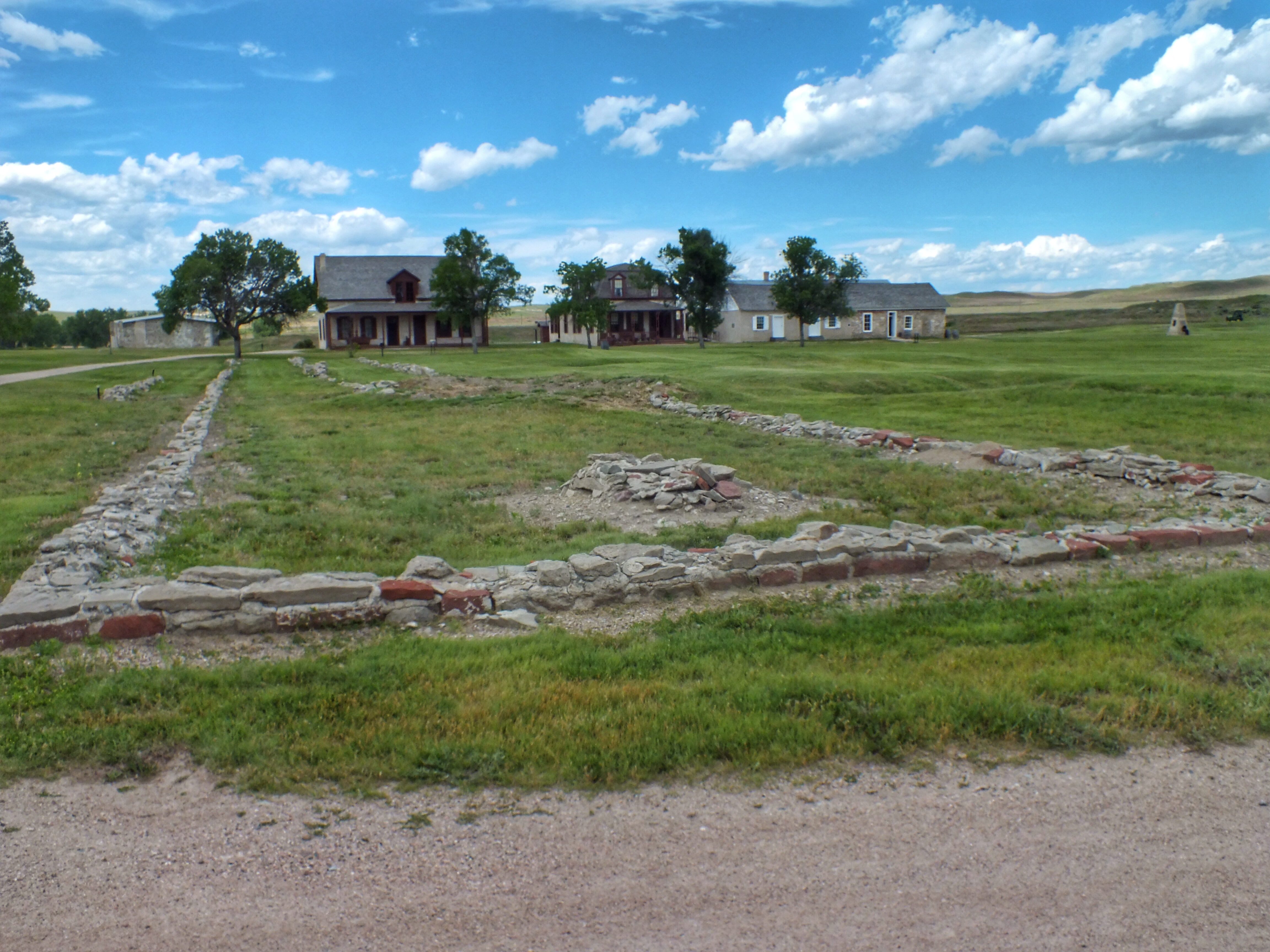
Foundation of the Infantry Barracks, built in 1867. The buildings are (l. to r.) the Magazine, the Post Surgeon’s Quarters, the Lt. Colonel’s Quarters, and the Post Trader’s Store.
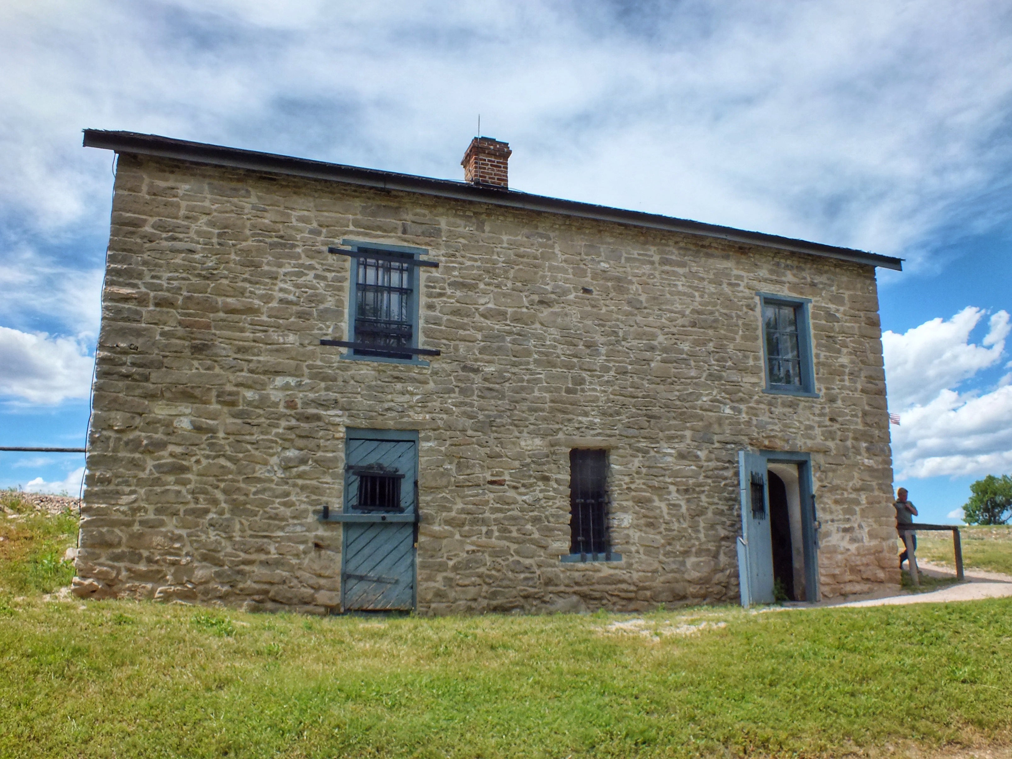
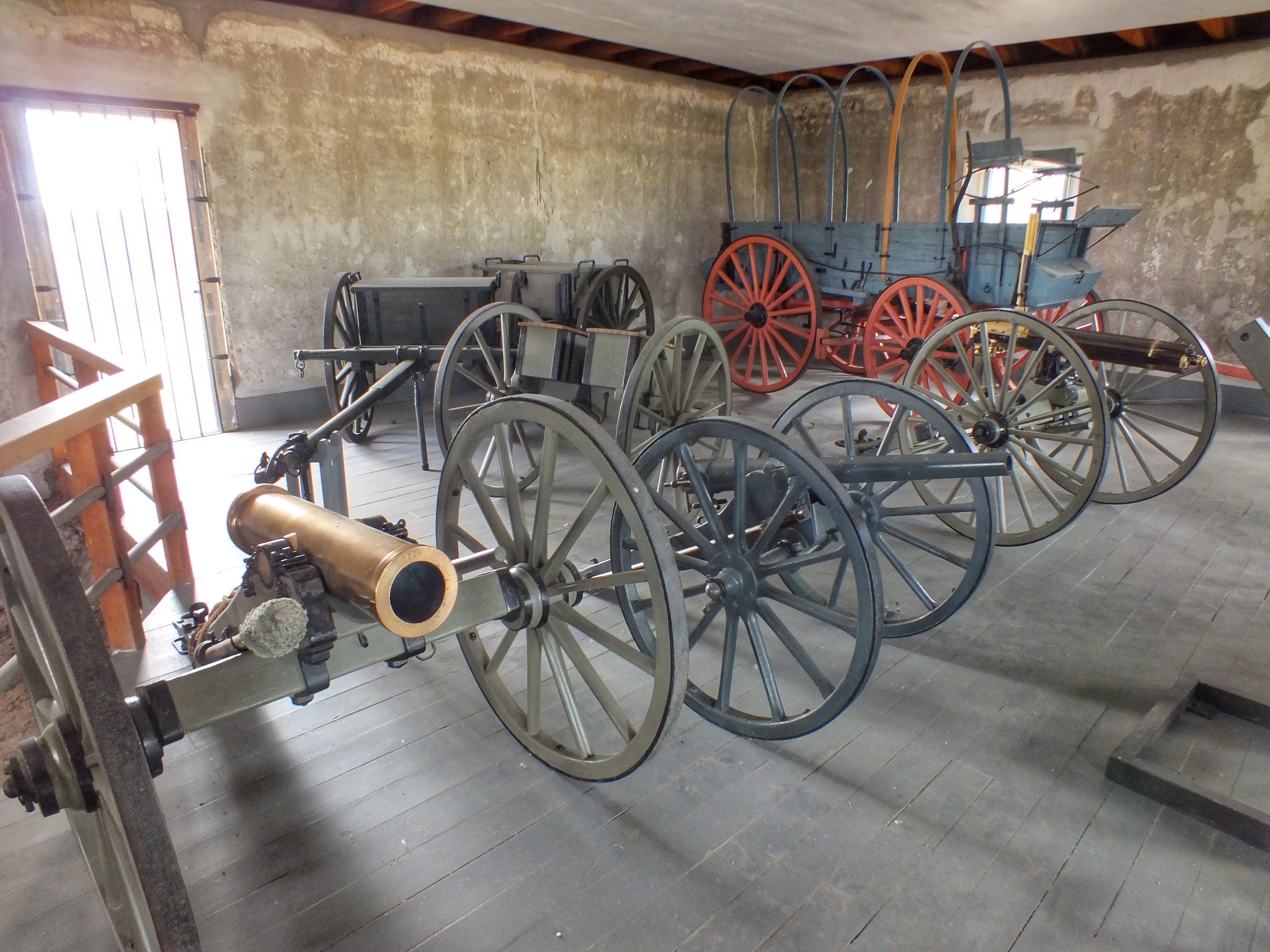
Old Guardhouse, built in 1866. This is the back view — the side facing the river. The cells were downstairs. The quarters of the guards were upstairs. The upper floor is now an exhibit of wagons and artillery.
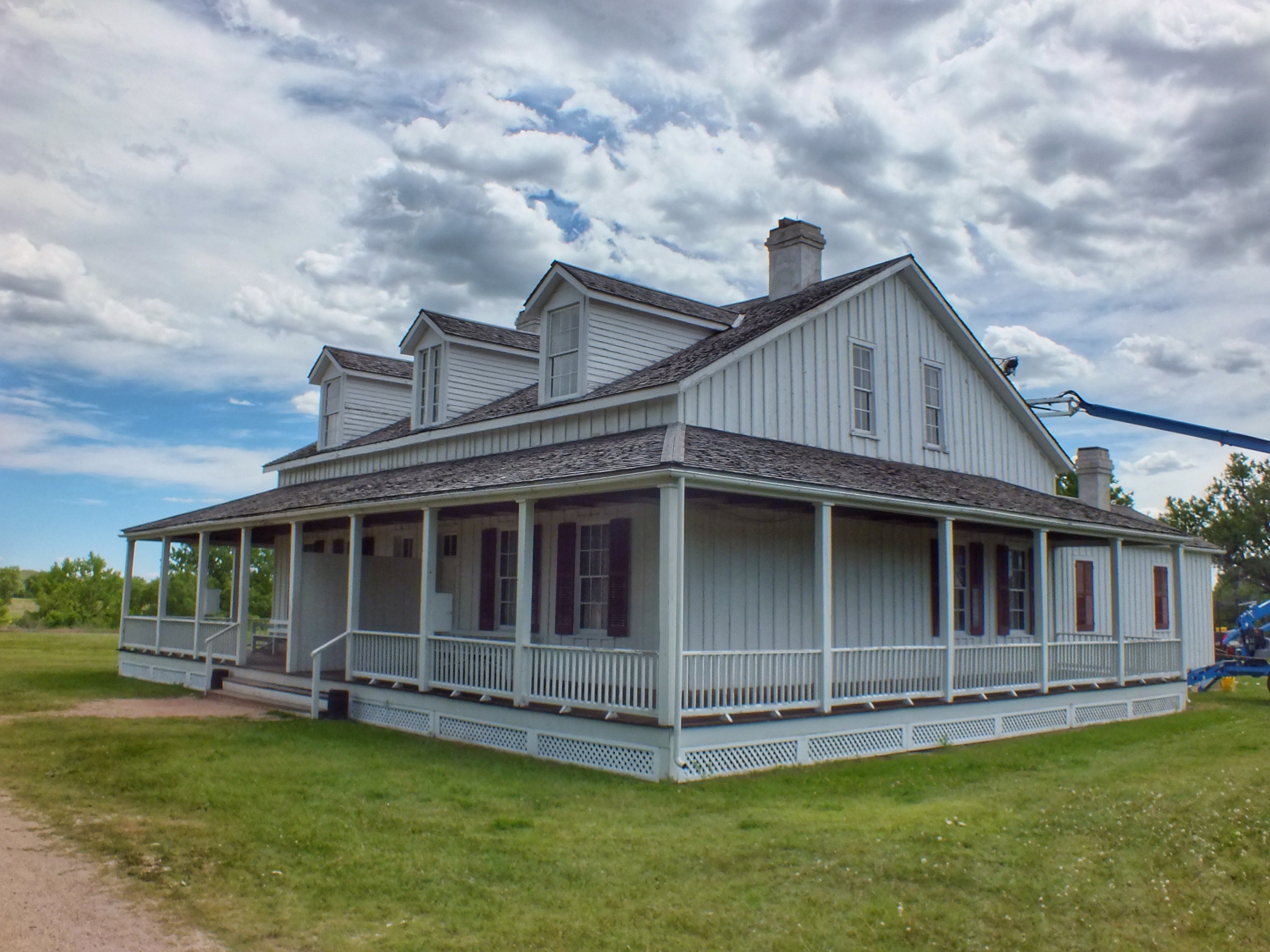
Captain’s Quarters, built in 1870. Two guys on cranes were scraping paint off the upper story while I was there. The second photo is the view from the front porch looking out toward the ruins of the Administration Building (built in 1885).
Ruins of Officers’ Quarters with “Old Bedlam” (bachelor officer’s quarters) in the background.
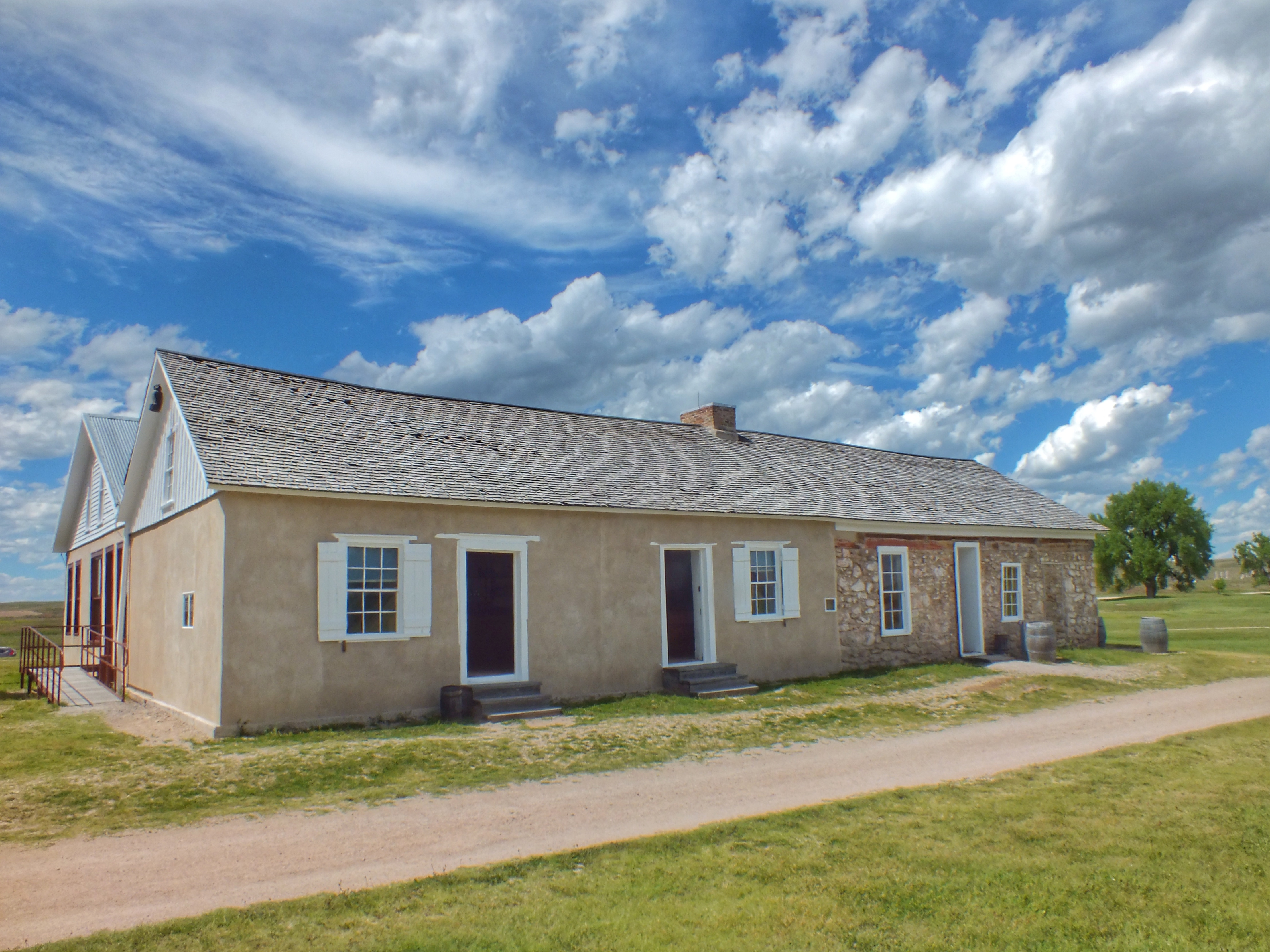
Bachelor Officers’ Quarters, built in 1849. It was known as “Old Bedlam” after the insane asylum in London. It is the oldest standing building in Wyoming, although before it was restored, it was barely standing.
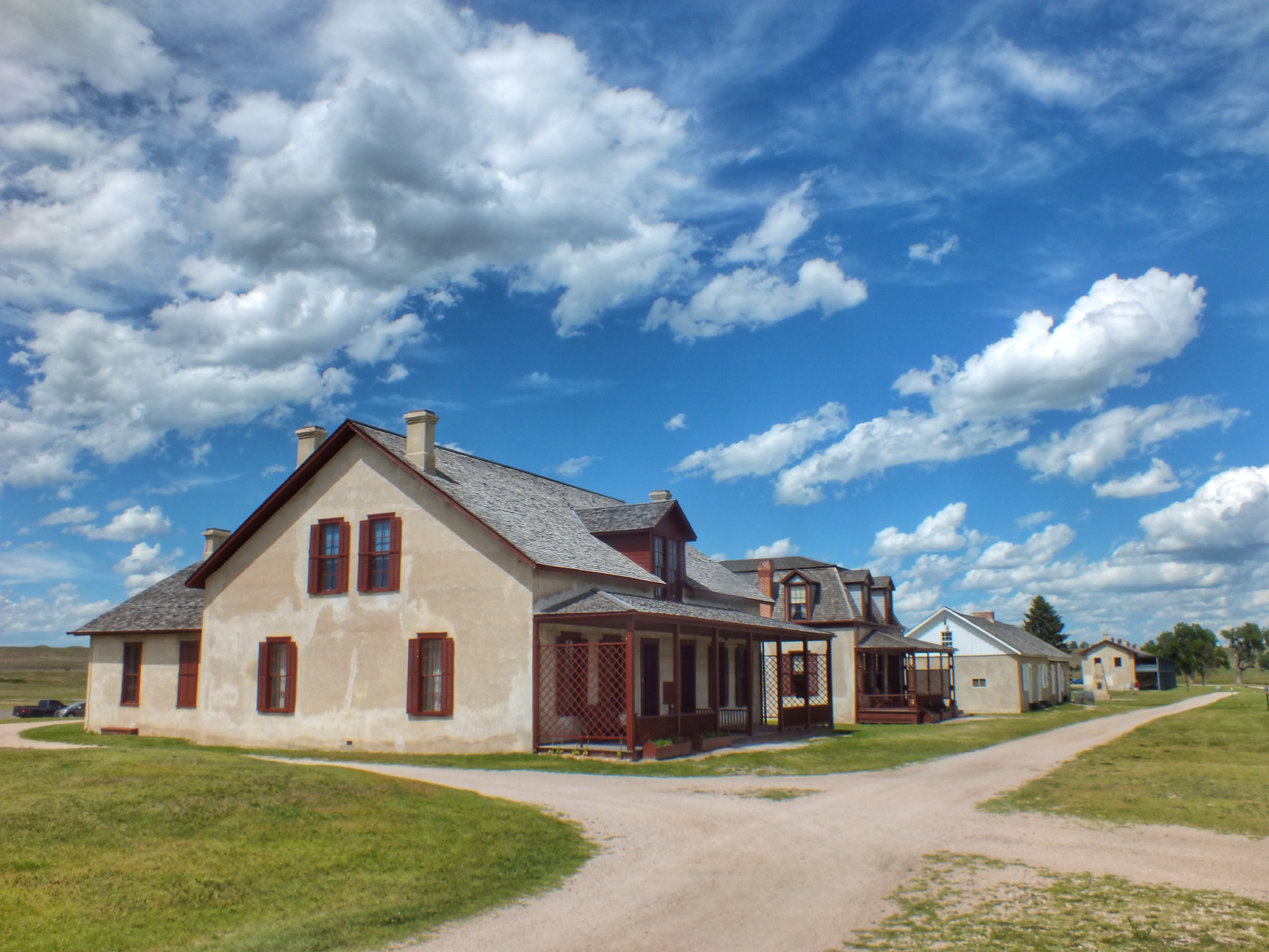
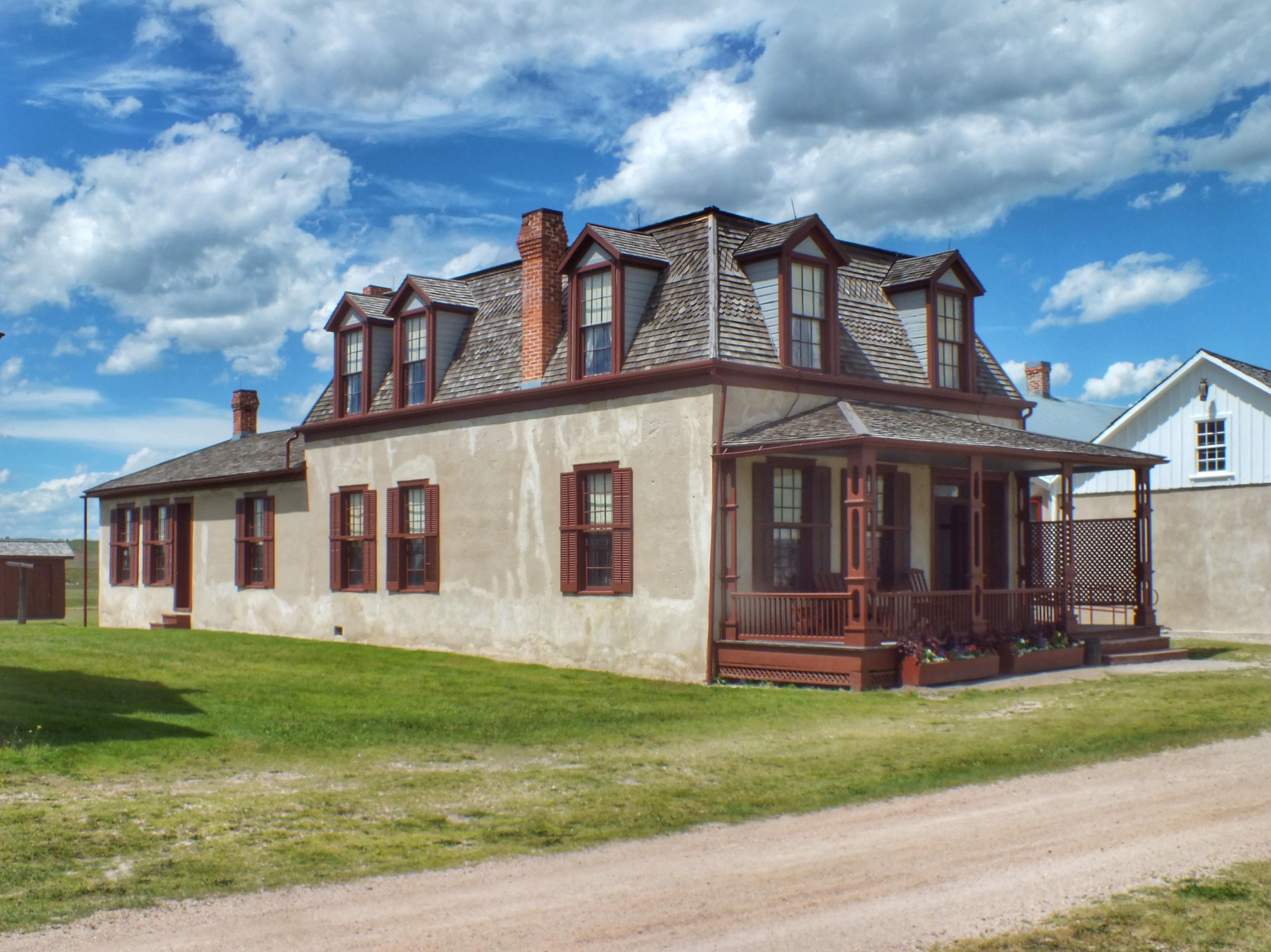
Post Surgeon’s Quarters (1875), Lt. Colonel’s Quarters (1884), Post Trader’s Store (1849), and the Cavalry Barracks. The first three buildings are also in the next photos.
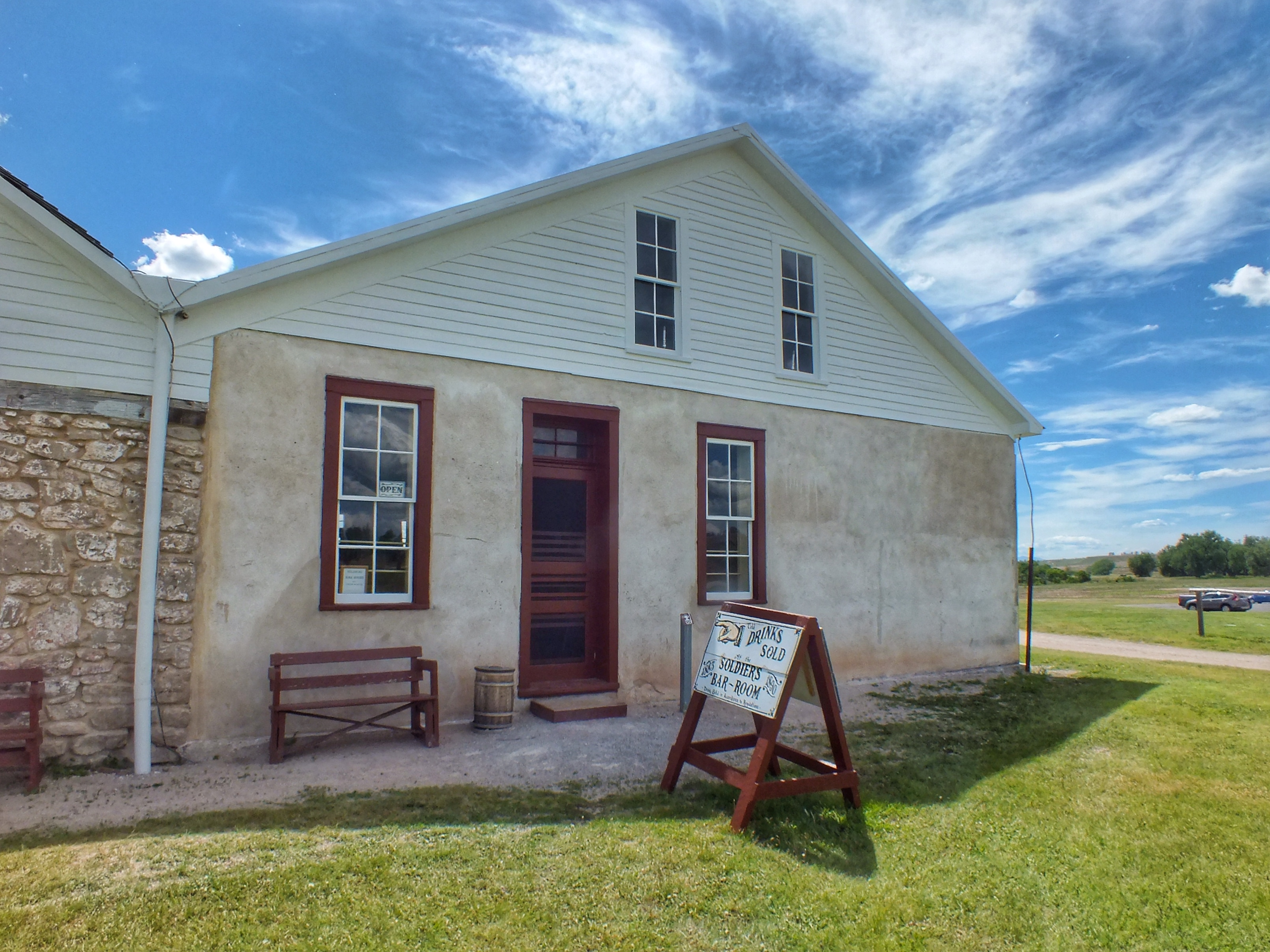
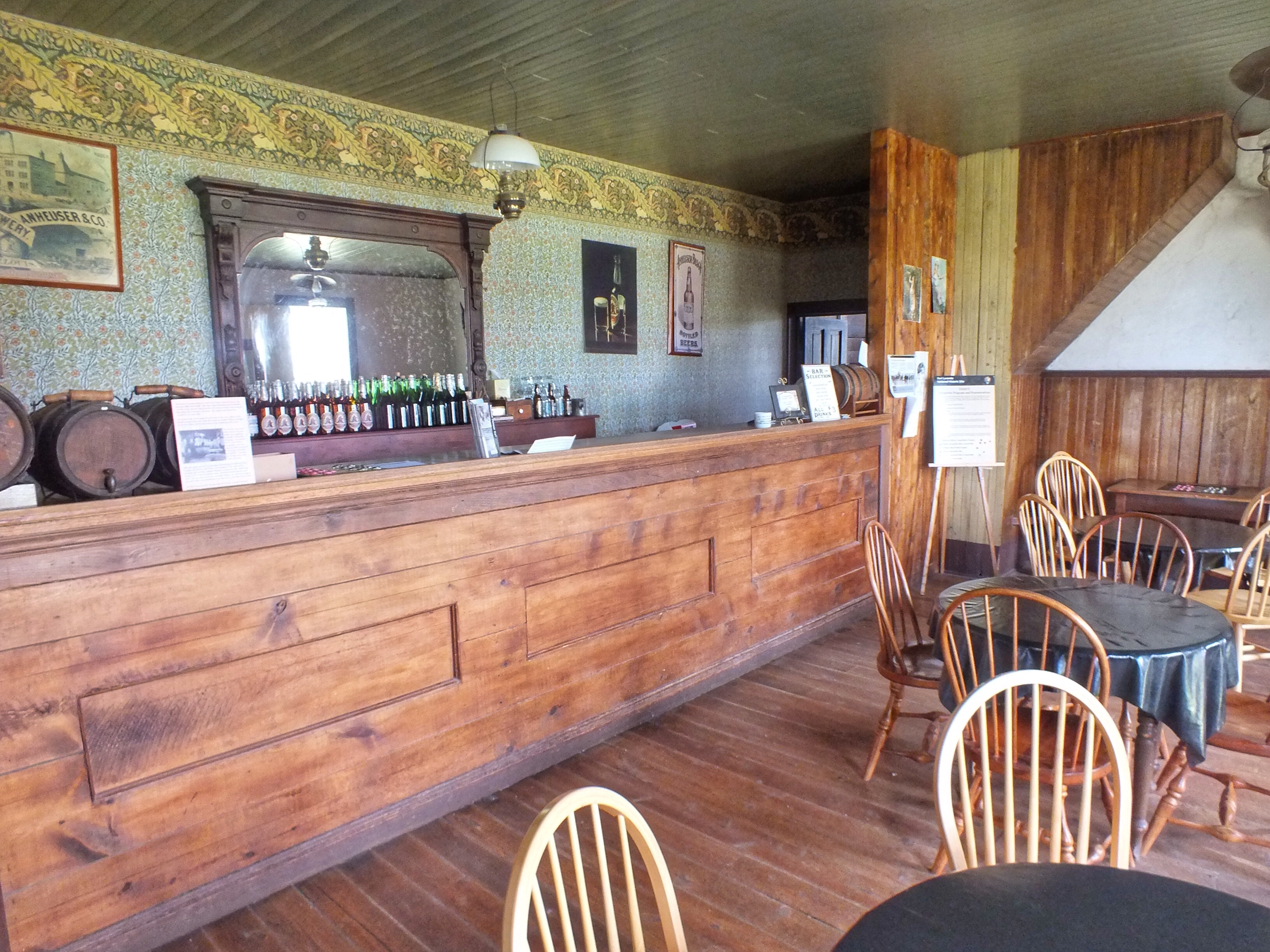
The Post Trader’s Store is only open when a ranger is present, but I happened along at the right time. (I didn’t want him in the photo, so after chatting with him for a few minutes, I walked out a second door. He walked out the first door on the other end, and as soon as he did, I immediately turned around and took the photo. When he realized that I was back inside, he hurried back in to make sure I didn’t steal anything.)
Behind the store was an 1883 addition housing the officers’ club and an enlisted men’s and civilian’s bar. I stopped and bought a birch beer.
Ruins of the Post Hospital (1873). Beyond it were the ruins of a barracks for non-commissioned officers.
Toward the end of it’s run, after the Indian threat was gone, the railroads were carrying most westbound traffic, and the Army didn’t have much to do, Fort Laramie took on the feel of a town. In three places — the visitor center displays, the orientation video, and on one of the signs on the grounds — I was informed that the fort had street lights and even birdbaths! Whoever was in charge of interpreting the fort for visitors evidently thought this was significant.
After I left the fort, I stopped at an antique store in the town of Fort Laramie. The woman who ran the place had a strong German (I think) accent. When she found out I was from Colorado Springs, she told me she used to live there but moved to Wyoming because there was no traffic. Her store was a random collection of mildly interesting junk with no price tags. She wanted to deal, but I couldn’t find anything I wanted. But her store was a palace compared to my next stop.
I stopped at another antique store in the small town of Lingle that turned out to be one small room. It looked like it hadn’t been cleaned or tidied in the last 30 years. In the four minutes it took me to see there was nothing I wanted, the woman who ran the store told me about an autographed cowboy hat. She obviously wanted me to buy it but I hadn’t heard of the guy who autographed it. When she saw I wasn’t interested, she began giving me an item by item inventory of her shop. I escaped quickly, but not before she told me there was another antique store right down the block. I think it might have been run by her husband. When I walked inside, the lights were off. A drunk-looking guy slipped something into a cooler as I walked in. I made a quick survey of the two aisles in the dark while he stared at me. This store too was filled with total junk that hadn’t been tidied or cleaned — ever. I was a bit relieved to escape with my life.
It took me the better part of two hours to get to Cheyenne on nearly empty roads. My plan was to stay the night and then go birding at a prairie in extreme north Colorado in the morning. But Monday had been hot and Tuesday was supposed to be the same. I decided to hit a couple Cheyenne museums instead. I found a Panera and ate supper while making plans. Then I looked for a hotel. My first choice was filled. I sat in the lot and looked for other options. Everything was filled or very expensive, except for La Quinta, which received terrible reviews. Since Cheyenne is close enough to be a day trip, I decided not to force things. I headed home. This was a little challenging because I had already mentally shut it down for the night, but I played my music loudly and sang along and made it safely home around 9:30 after three extremely interesting and fun days.
Posted inWyoming|Comments Off on Fort Laramie National Historic Site
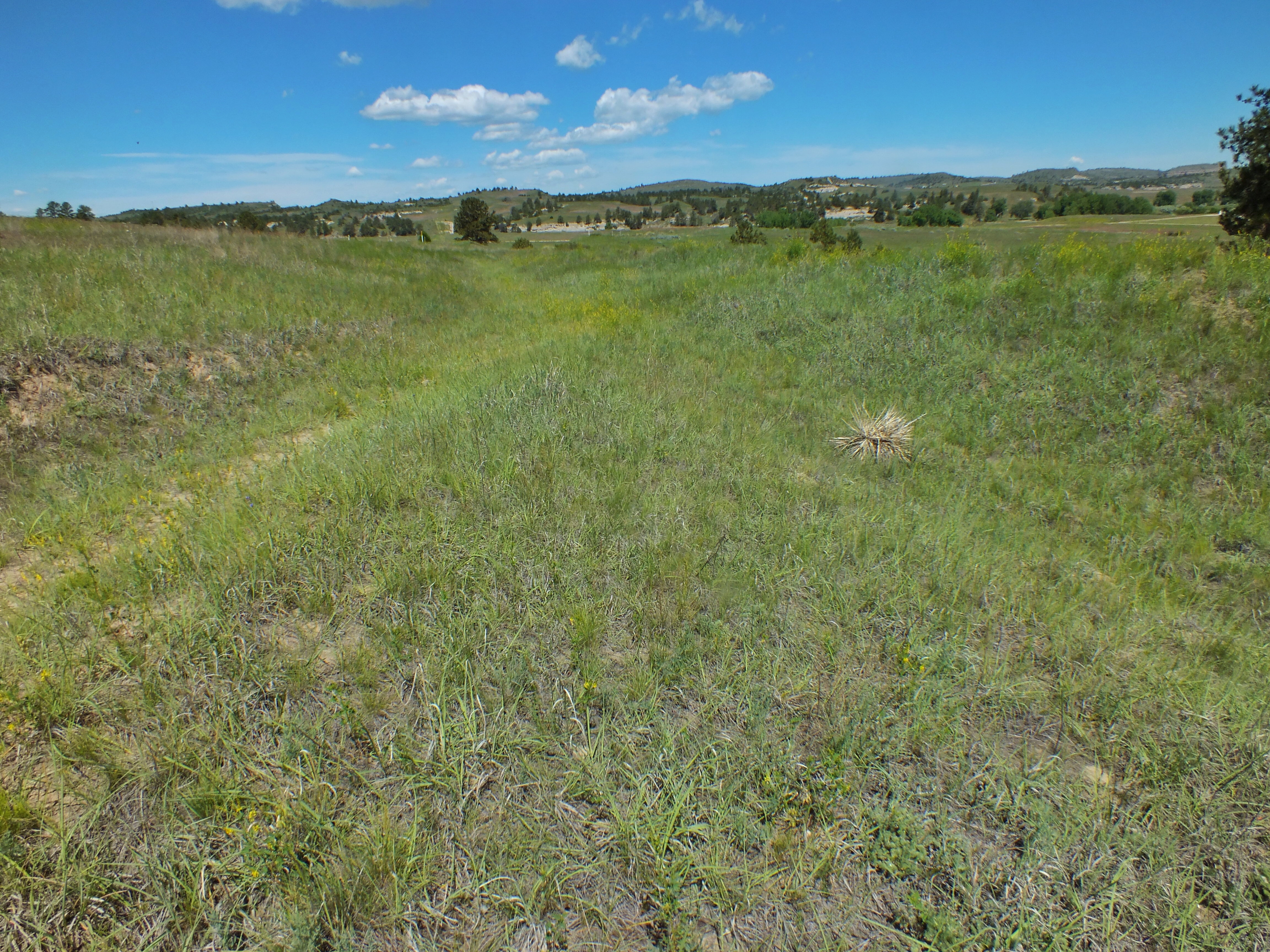
From the mid-1830’s through about 1870, immigrants and gold miners followed the Oregon Trail west along the Platte River. Traces of the trail can still be see near the town of Guernsey.
At Oregon Trail Ruts State Historic Site first, a short looped path runs along the trail. Over the years, the iron rims on wagon wheels cut a trench in the limestone on a low hill above the river.
Even where there was no limestone, a depression marks the route of the old trail.
The park was also notable for one of the most over-written signs I’ve ever read.
It took me perhaps 15 minutes to see all there was to see. I drove a couple miles to another site called Register Cliff.
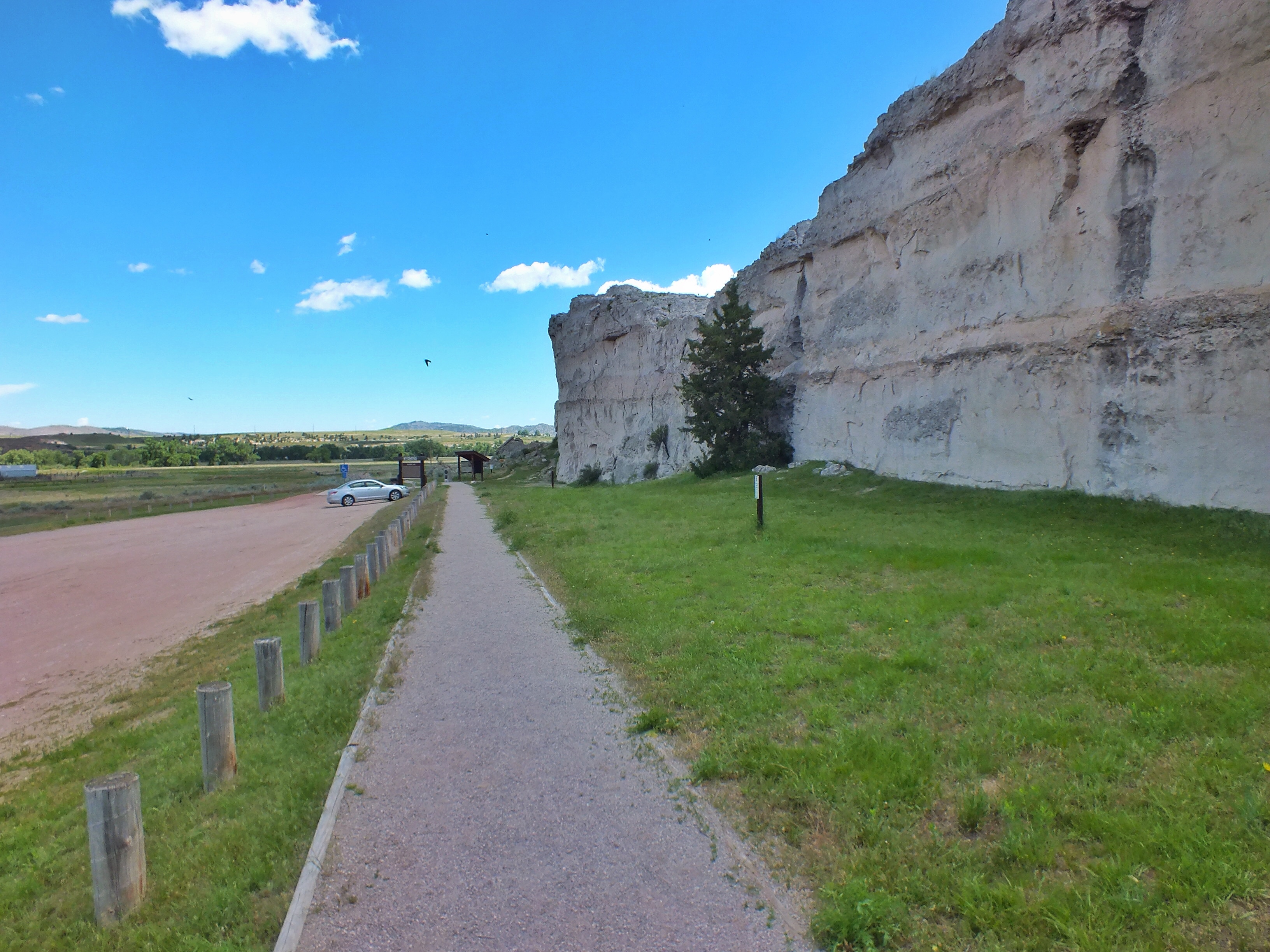
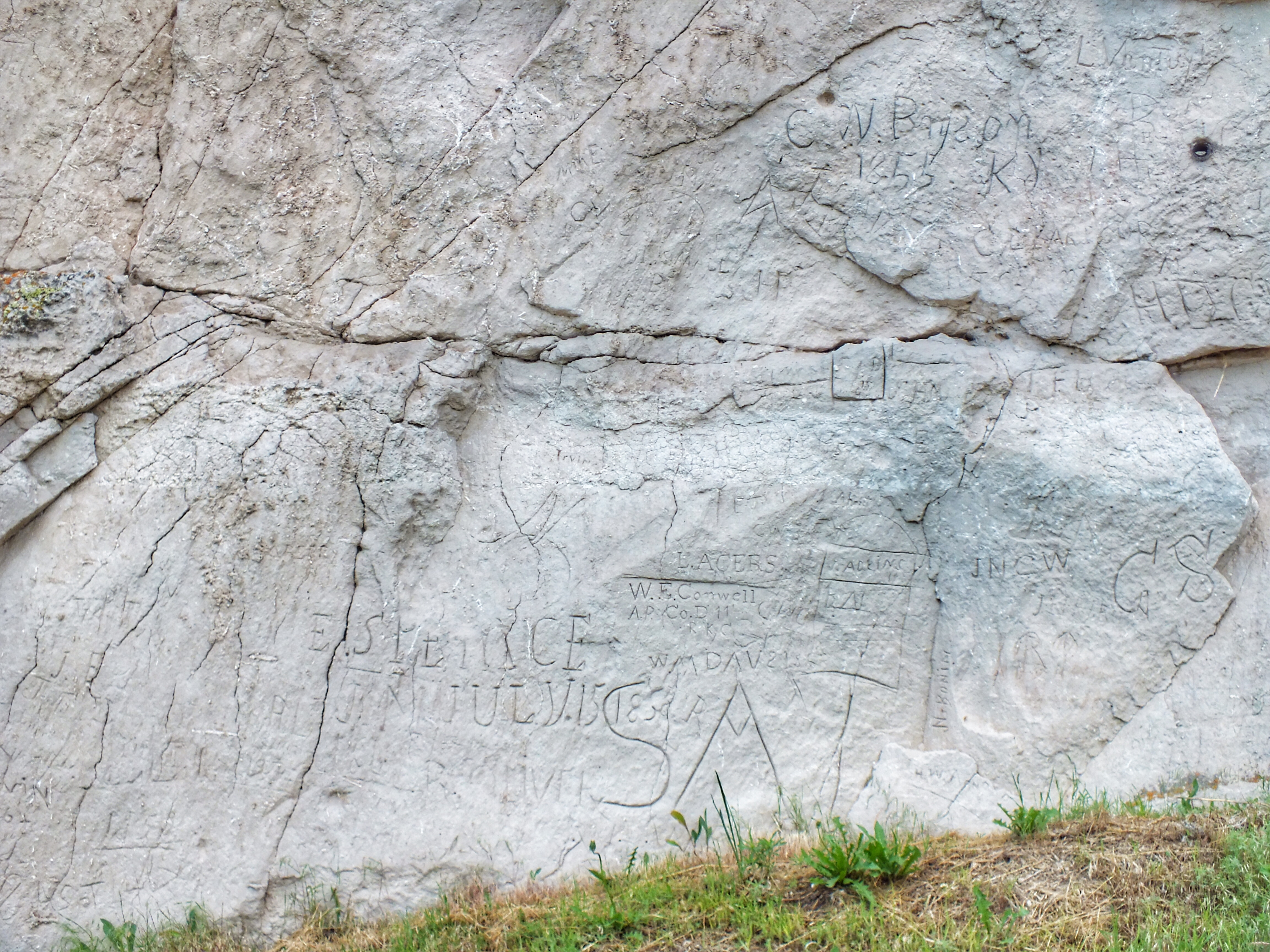
This was a popular camping ground for immigrants on the trail, and many of them carved their names into the limestone cliff face. Hundreds of others have since carved their names too, and it was difficult in some places to find the old ones. But the state had protected one section of cliff with a fence, and here I could see many names carved in the 1850’s.
After traffic on the trail declined, settlers built their homes next to the cliffs. One homesteader dug a cave into the cliff for cold storage. You can see it just to the left of the sign in the panorama photo above. Hundreds of Cliff Swallows were flying in and out of nests everywhere the cliff provided any cover from the weather.
The Platte River is perhaps 150 yards from the base of the cliff. Near the parking lot, I found a Pony Express Trail marker along the bank.
I ate lunch in Guernsey at a small cafe called Twister Eatery. It wasn’t fancy, but my ham and cheese sandwich was delicious and the wait staff was friendly.