
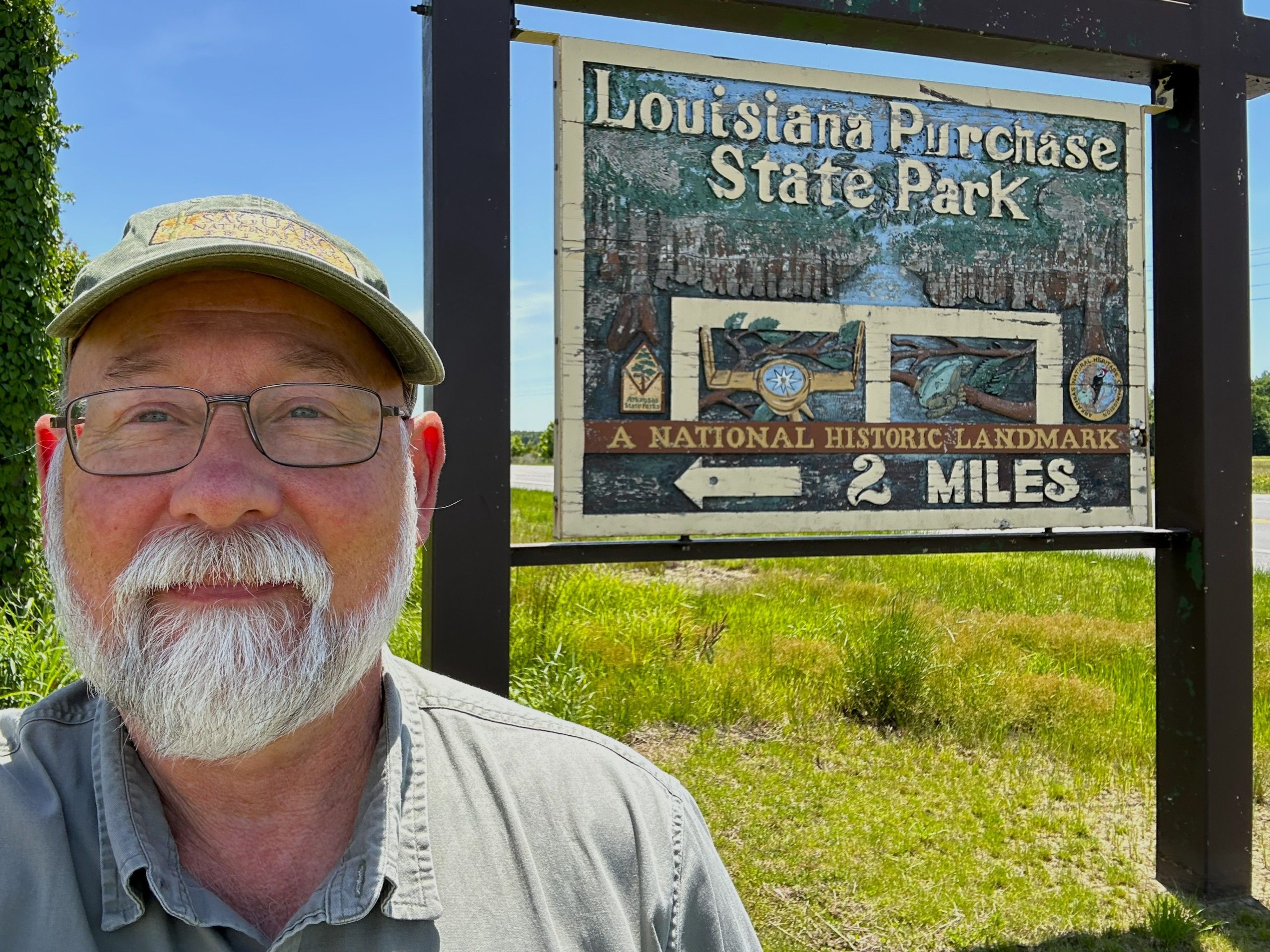
Another twenty-minute drive from the Delta Heritage Trail brought me to this park.
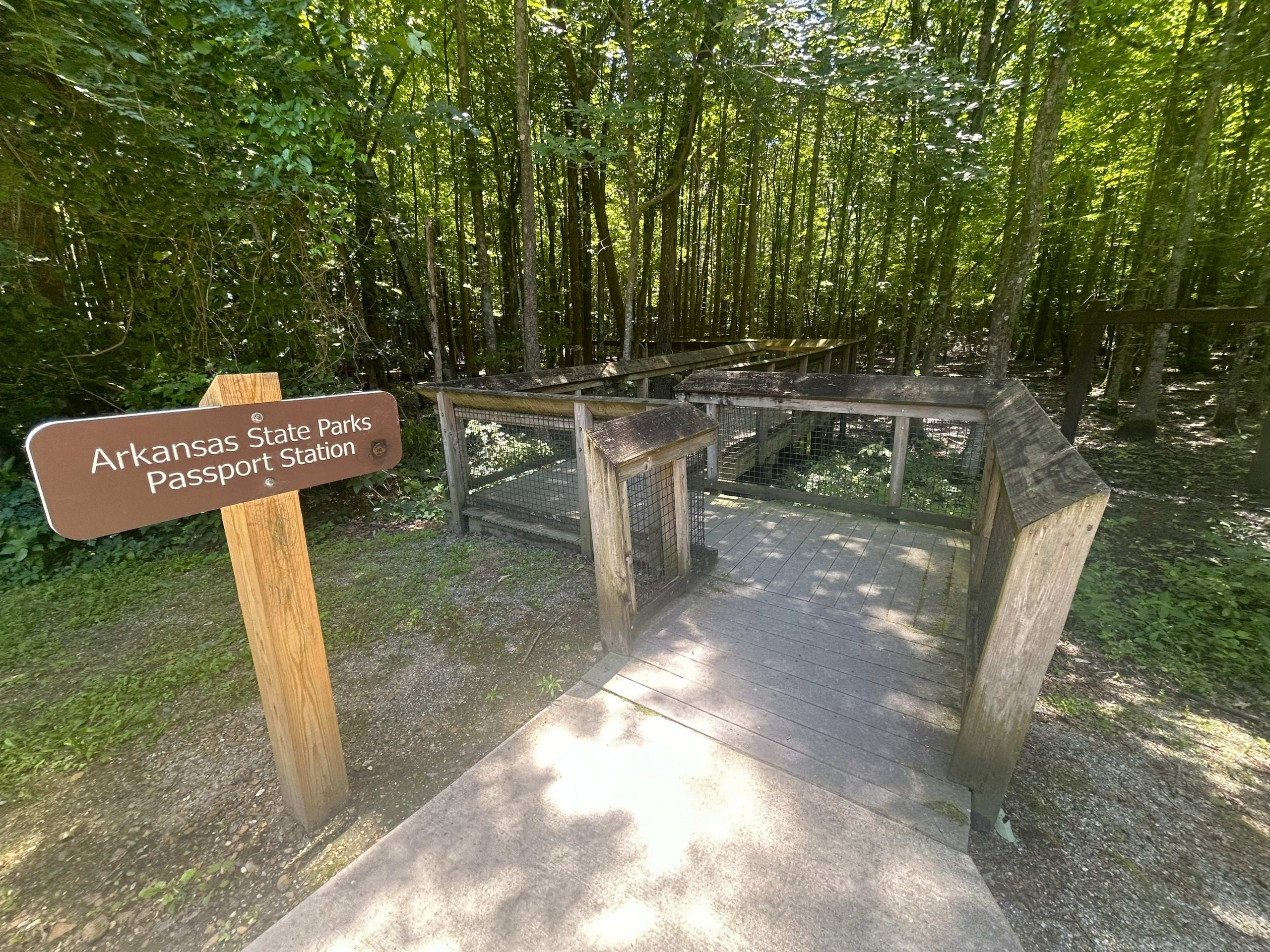
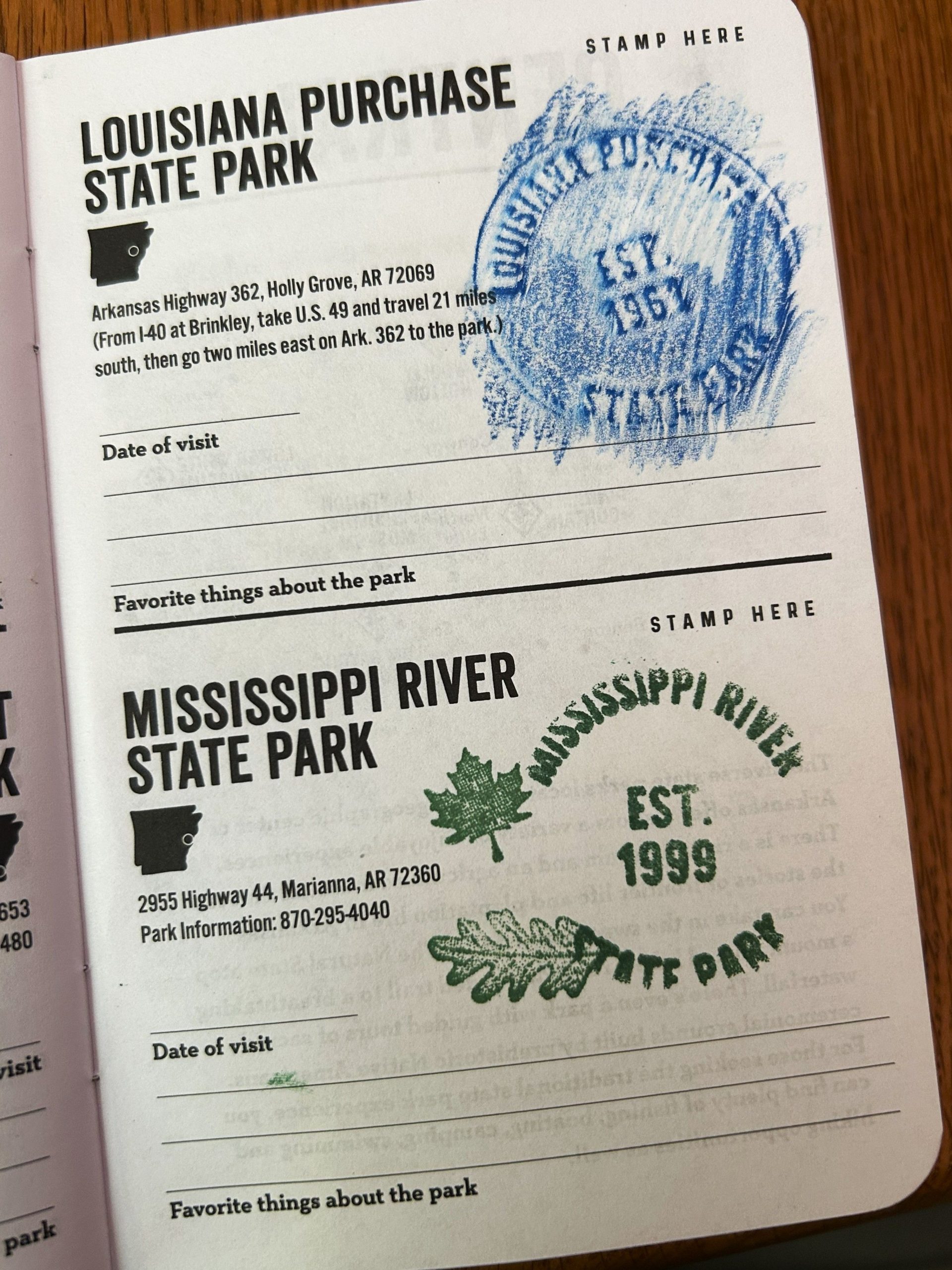
The road in to the park dead-ends at a five-car parking lot. The park is unmanned, so I had to do my first emblem-rubbing to get my stamp. I did a practice rub, using the colored pencil I placed in my car for just this purpose, to make sure I wouldn’t mess up another passport. You can see the medallion embedded in the sign below.
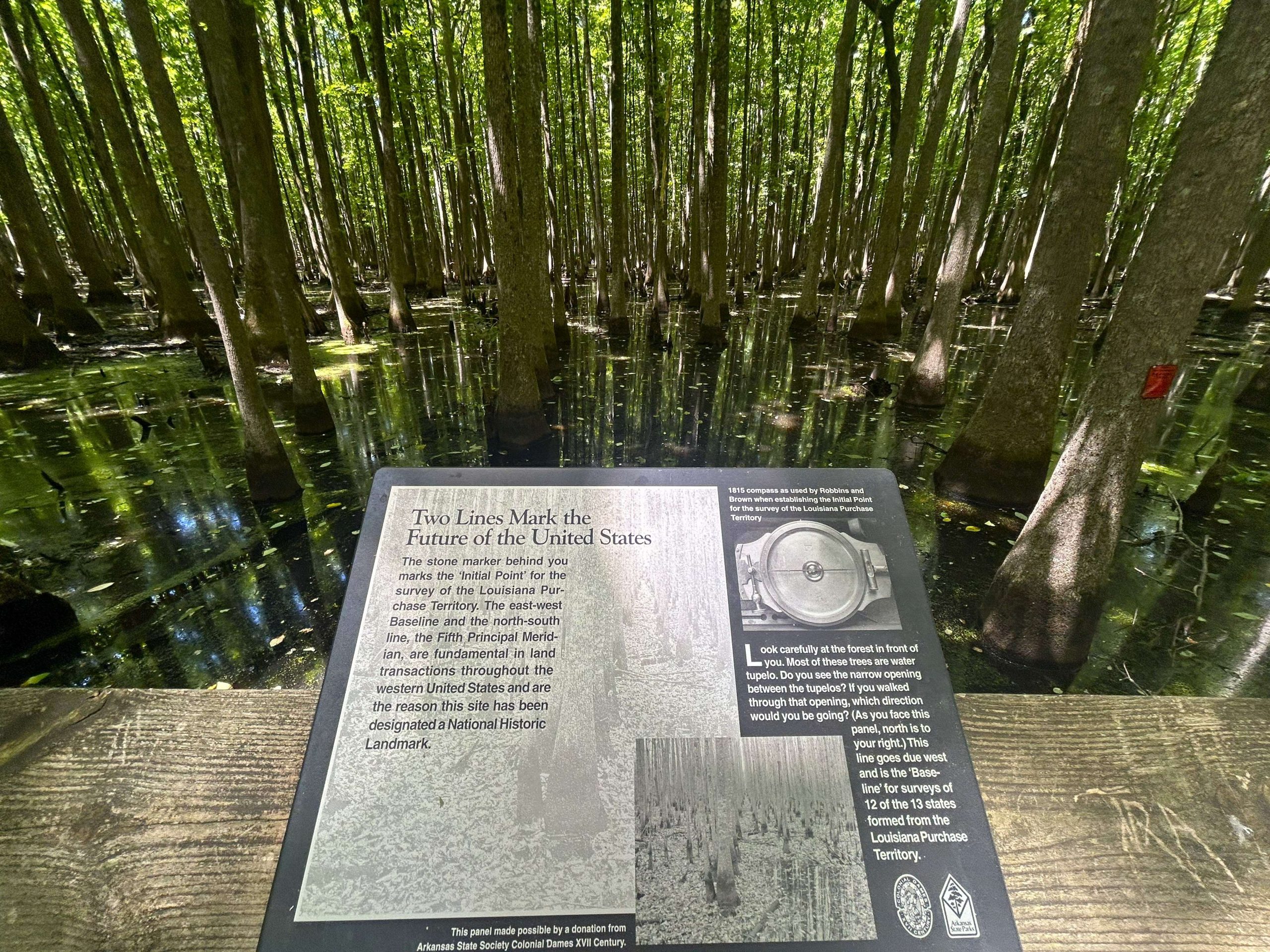
A boardwalk winds back into the swamp, with signs along the way giving the history of the spot.
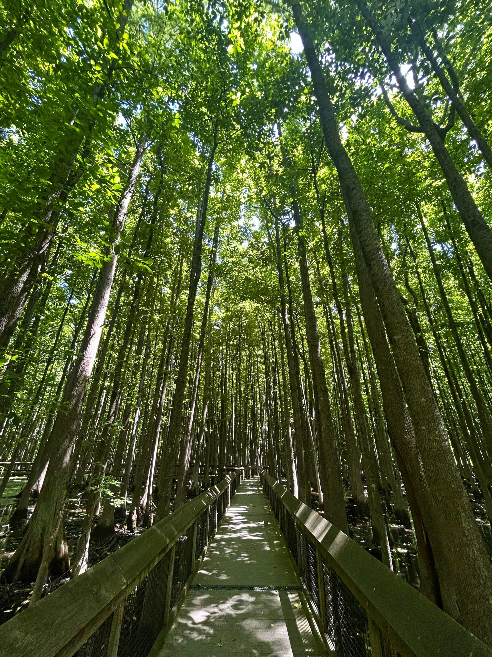
And swamp it is. This has been a very dry spring, and I was surprised to see how much water remained. I wonder if the state deliberately floods it to keep it authentic. Here’s the monument.
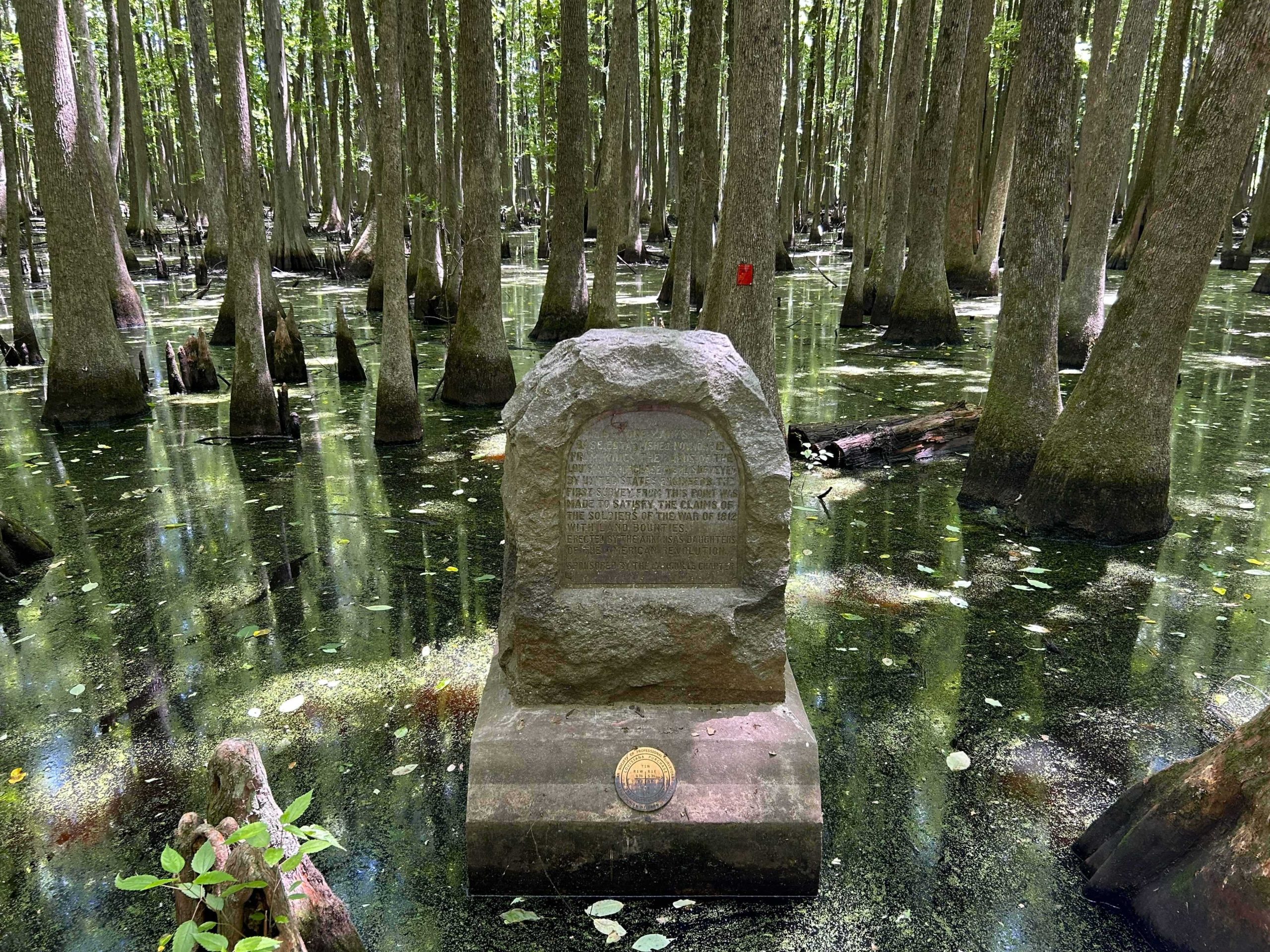
It’s hard to read, even on the spot. It says:
“THIS STONE MARKS THE BASE ESTABLISHED NOV. 10, 1815 FROM WHICH THE LANDS OF THE LOUISIANA PURCHASE WERE SURVEYED BY UNITED STATES ENGINEERS. THE FIRST SURVY FROM THIS POINT WAS MADE TO SATISFY THE CLAIMS OF THE SOLDIERS OF THE WAR OF 1812 WITH LAND BOUNTIES. ERECTED BY THE DAUGHTERS OF THE AMERICAN REVOLUTION. SPONSORED BY THE L’ANGUILLE CHAPTER.”
And that was it. I did see a Prothonotary Warbler and a Baltimore Oriole in the swamp. I walked back down the boardwalk and headed for home.