
On the final day of our Arkansas vacation, my wife and I decided to head into Little Rock and see what we could find to do while spending as little money as possible.
Our first stop was this bridge, popularly known as the “Big Dam Bridge.” It’s another example of your tax dollars at work, as some of the $12.5 million it took to build it came from the federal government. It’s part of a 14-mile loop trail that runs along both shores of the Arkansas River through Little Rock and North Little Rock. The bridge opened in September, 2006 and is the longest pedestrian and bicycle bridge in the world built specifically for that purpose. (There’s a longer one in St. Louis that was originally a railroad bridge.) It’s 4,226 feet long and, at it’s peak, 90 feet above the river. The bridge crosses the Murray Lock and Dam, which was not constructed to accommodate a bridge. Several three-ton chunks of cement were cut out of the dam to fit the bridge supports. These wedge-shaped chunks are lined up along the trail on both sides of the bridge as though they actually mean something. You can see two of them in the top pan, taken from the north end.

The local authorities responsible for the bridge are very proud of themselves. On the bridge’s web site, there’s an entire page devoted to how the name “Big Dam Bridge” was coined. On the brochure about the trail, there’s this quote by Pulaski County Judge Buddy Villines — “This bridge, like the very early bridges, connects people and places. It connects us in a very human way. We will bring our families and friends here, and we will meet other families and make new friends.”
This pan was taken about a third of the way across. That’s the Interstate 430 bridge in the distance, and behind it the conical-shaped Pinnacle Mountain, an old volcanic cone that is now a state park.

We didn’t meet any other families or make any friends. During the time it took us to walk over and back, I think we saw two hikers and one bike rider. It was around 30 degrees, and a steady wind was whipping down the river, but we were dressed for it.
Here’s a pan from the south end, with the lock in the foreground.

A tugboat was pushing a string of barges upriver through the lock when we were on the bridge.
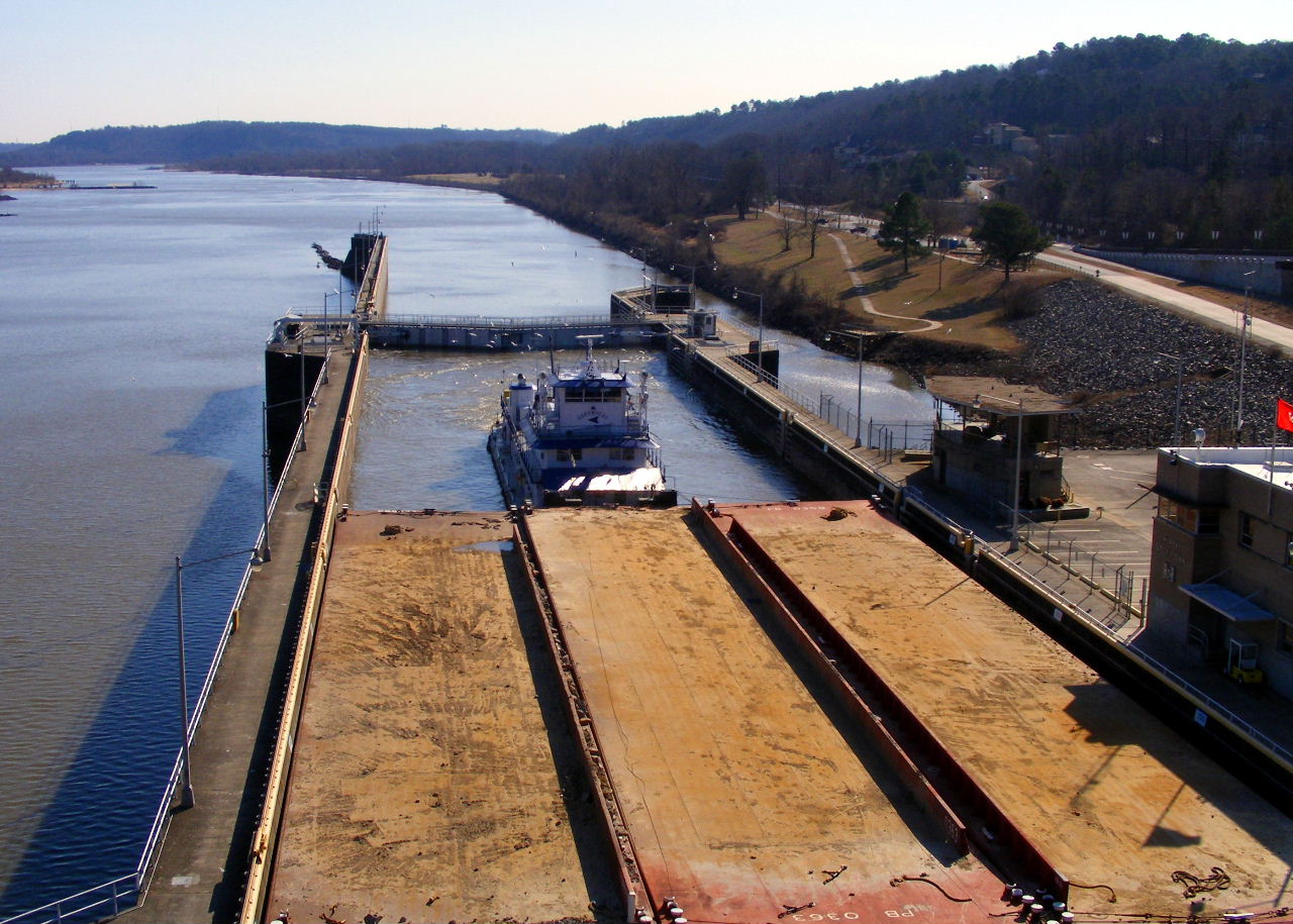
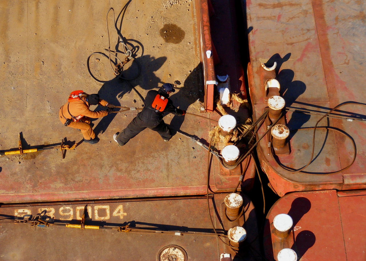
The string was so long that it had to be locked through in two sections. The second section had just been raised to the upriver level, and these bargemen were fastening the sections together with cables.
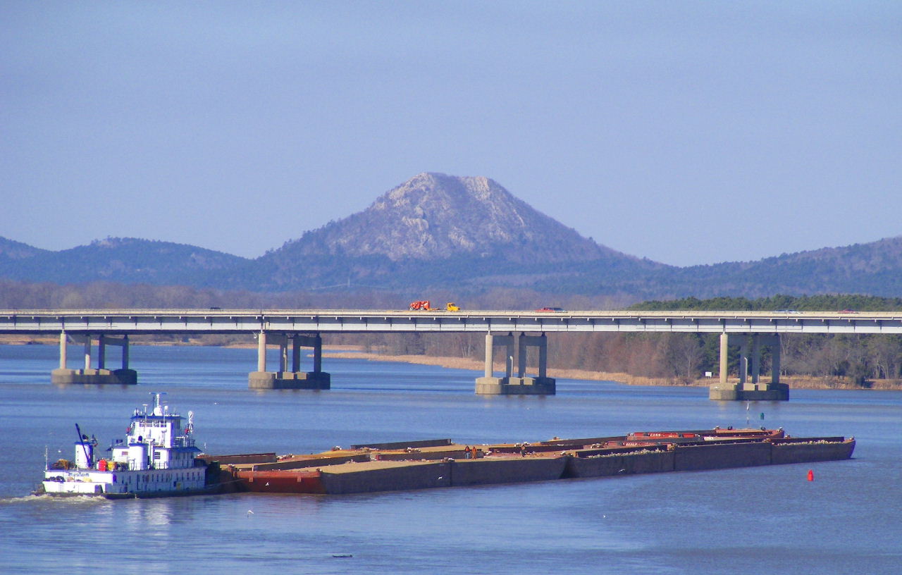
In the time it took us to walk down the south incline of the bridge and back, the tugboat had pushed the barges almost to the highway bridge. This shot gives a better look at Pinnacle Mountain.
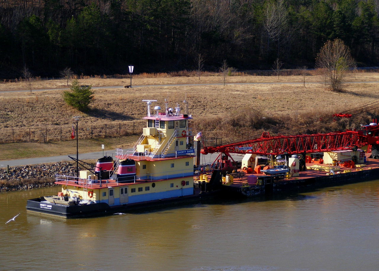
Another tugboat was docked along the bank near the lock.
I’m pretty sure the bridge isn’t worth $12.5 million, but it was a nice place for a mile-and-a-half walk.