
I’d made reservations for a spot in a photo blind to see Lesser Prairie-Chickens on Sunday morning. We had to be in place before dawn, which meant I had to stay overnight in Oakley, Kansas. I decided to take back roads on my way east and see some obscure places that weren’t worth a trip on their own.
I left home around 6:30 and got to Sand Creek Massacre National Historic Site at 10:00. The park is in the middle of nowhere — it’s even seven miles from the nearest paved road. It commemorates a “battle” that took place on November 29, 1864.
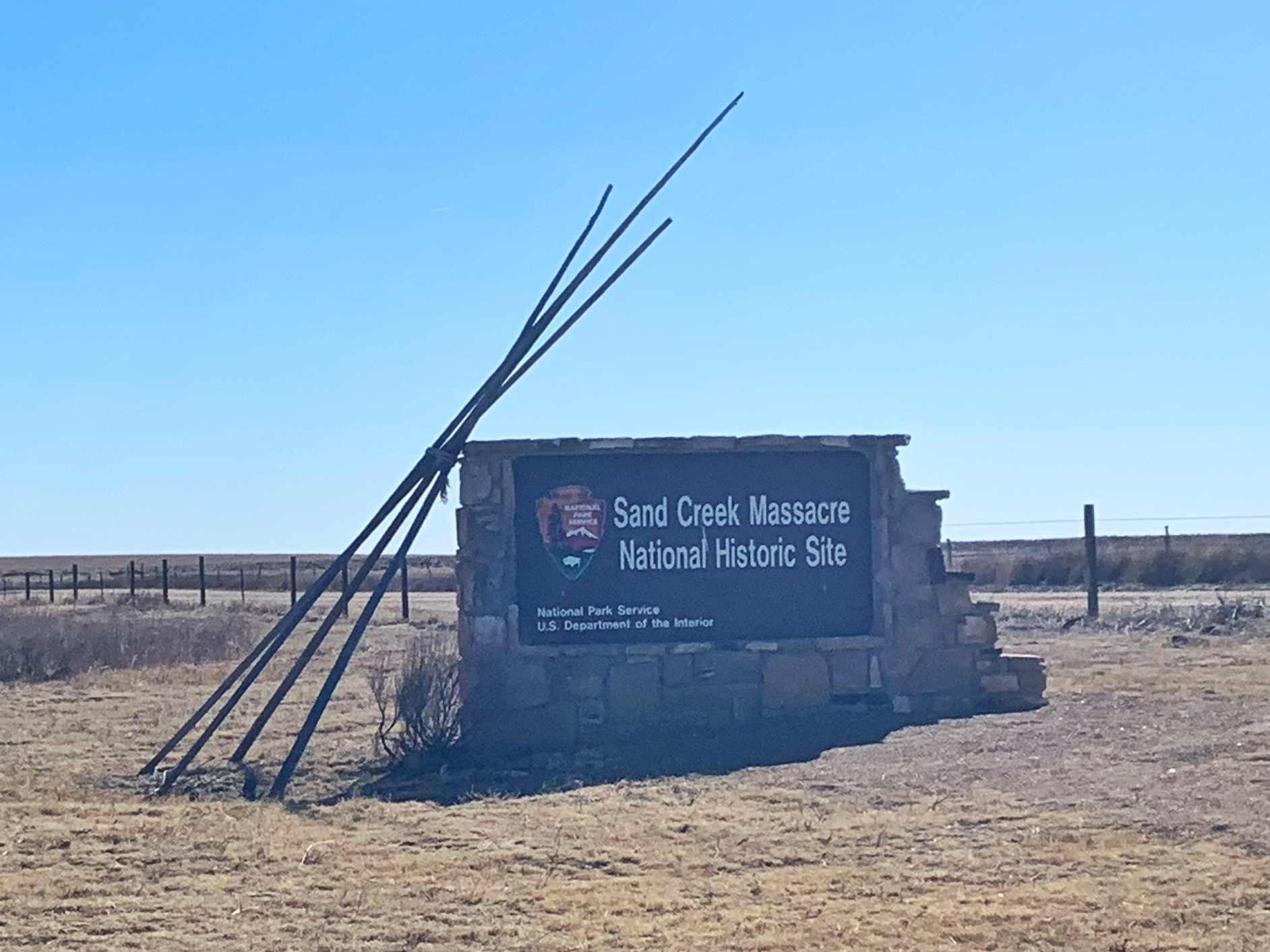
Earlier in 1864, tensions between the Cheyenne and Arapaho tribes and settlers broke out into violence. War parties raided and killed throughout Colorado and Kansas, while the U.S. Army (with what troops it could spare from the Civil War) tried to track them down. Some chiefs asked for peace and were told to report to Fort Lyon on the Arkansas River in southeastern Colorado. Many did, including a group under Chief Black Kettle. After reporting at the fort, the Indians encamped at Sand Creek, 45 miles northeast, within lands ceded to the tribe by a recent treaty.
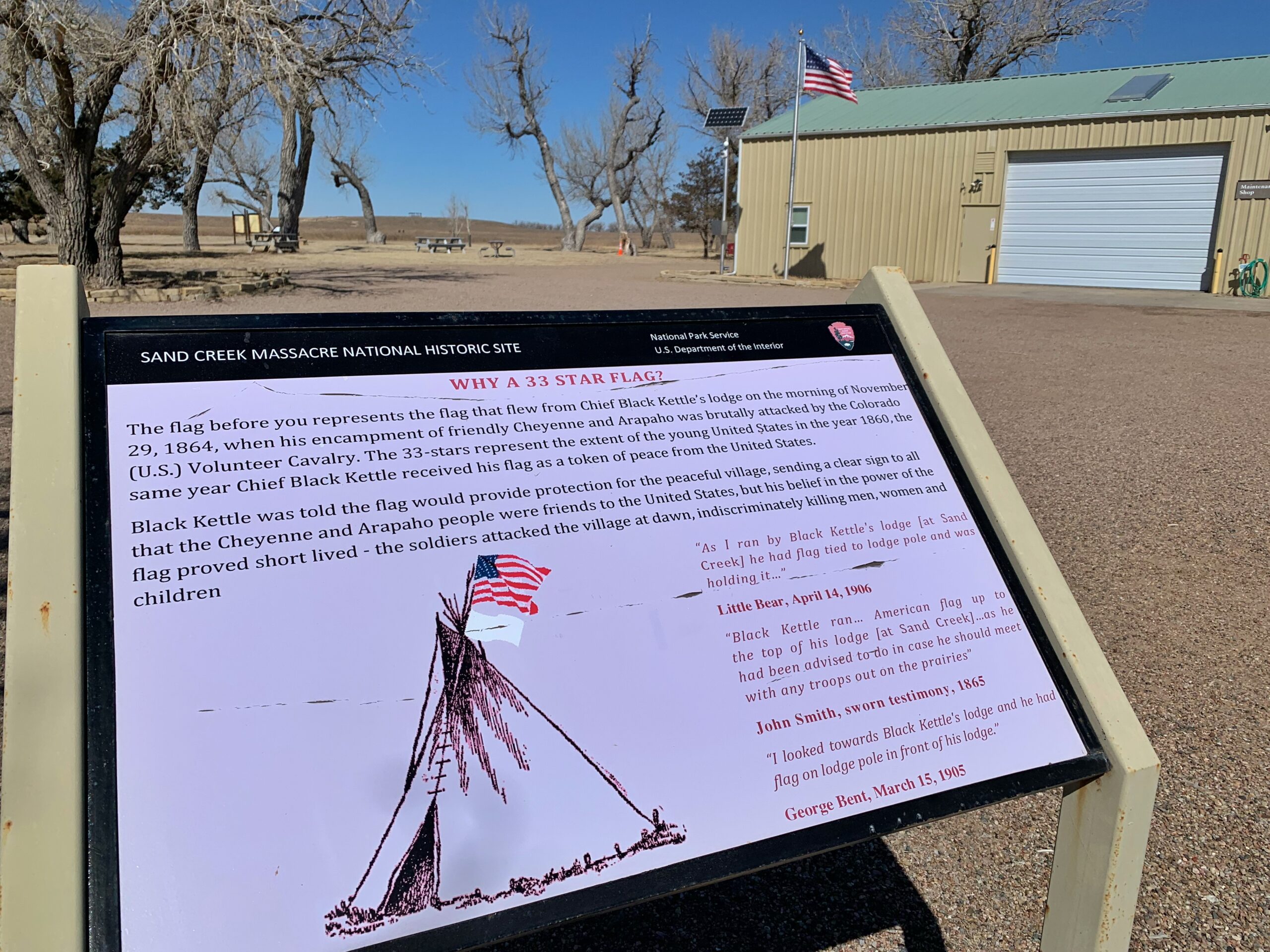
On the morning of November 29, two regiments of US Cavalry attacked the village. Black Kettle raised an American flag and a white flag to indicate that the Indians were peaceful. Several chiefs walked toward the troops, but the army, under Colonel John Chivington, began firing on the Indians with guns and howitzers. The villagers fled, and the army pursued and killed anyone they happened upon — including women and children. Some Indians grabbed their guns and fought back. Two companies of troops were repelled by what they saw and refused to participate. Troops scalped and mutilated the dead and took or destroyed property. Much of the violence was committed by short-term recruits from Denver. About 200 Indians and 18 soldiers died.
Initially, Chivington was hailed as a hero, but two of his officers (those who kept their troops out of the massacre) reported the truth. There was an investigation, and an Army judge declared the attack to be “cowardly cold-blooded slaughter,” but Chivington was never tried or even formally charged. John Evans, the governor of Colorado territory, who had encouraged the killing of Indians, was forced to retire a year later.
I arrived at the same time as an older couple from Denver. They were on their way home from a visit to “the Ark in Kentucky.” The ranger who came out to greet us wasn’t interested. I wanted to tell them I’d been to the Ark, but they seemed like the kind of people who would talk a long time, and I had a schedule to keep. It was a half-mile walk from the H.Q. (maintenance shed, a bathroom, and a tiny bookstore/office) to the overlook. There isn’t a lot to see at the site. Visitors aren’t allowed down in the valley where the village was and where the fighting took place. When I got to the overlook, I saw a trail that led for a mile and a half along the bluffs and, on a whim, decided to walk it to get in my miles and read the signs scattered along the way that told the stories of individual groups of Indians and other events during the day.
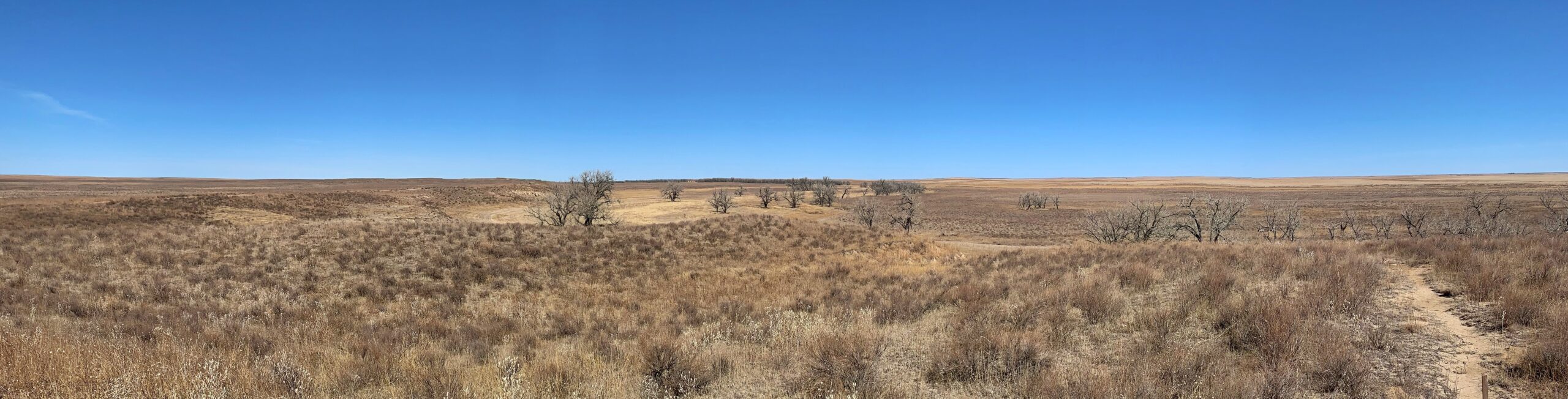
The landscape was bleak. There is no water in Sand Creek, nor was there in 1864. The Cottonwoods that grow along the creek bed and the low bluff alongside of it are the only features for as far as the eye can see. It was shirt-sleeve weather — pleasant and clear — but I kept wondering why I chose that place for a four-mile hike. The only interesting moment was when a Coyote or two began howling down in the valley — I didn’t know they did that in the middle of the day.
The Indian village was on the flats beyond the trees on the right in the photo. The bluff is on the left, with the trail visible on top. The Indians escaped north into the distance along the creek.
A look back at the overlook shelter. The troops attacked from this direction. The village was out of the shot to the left.
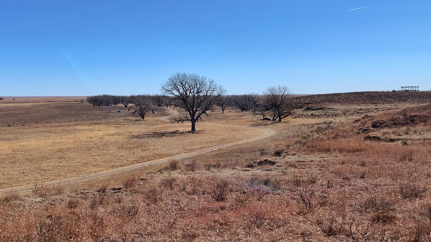
Another closer view of the village site beyond the cottonwoods. Visitors aren’t allowed down into the valley because the Indians consider the land sacred.

From Sand Creek, I drove an hour, much of it on dirt roads, though nowhere into Kansas.
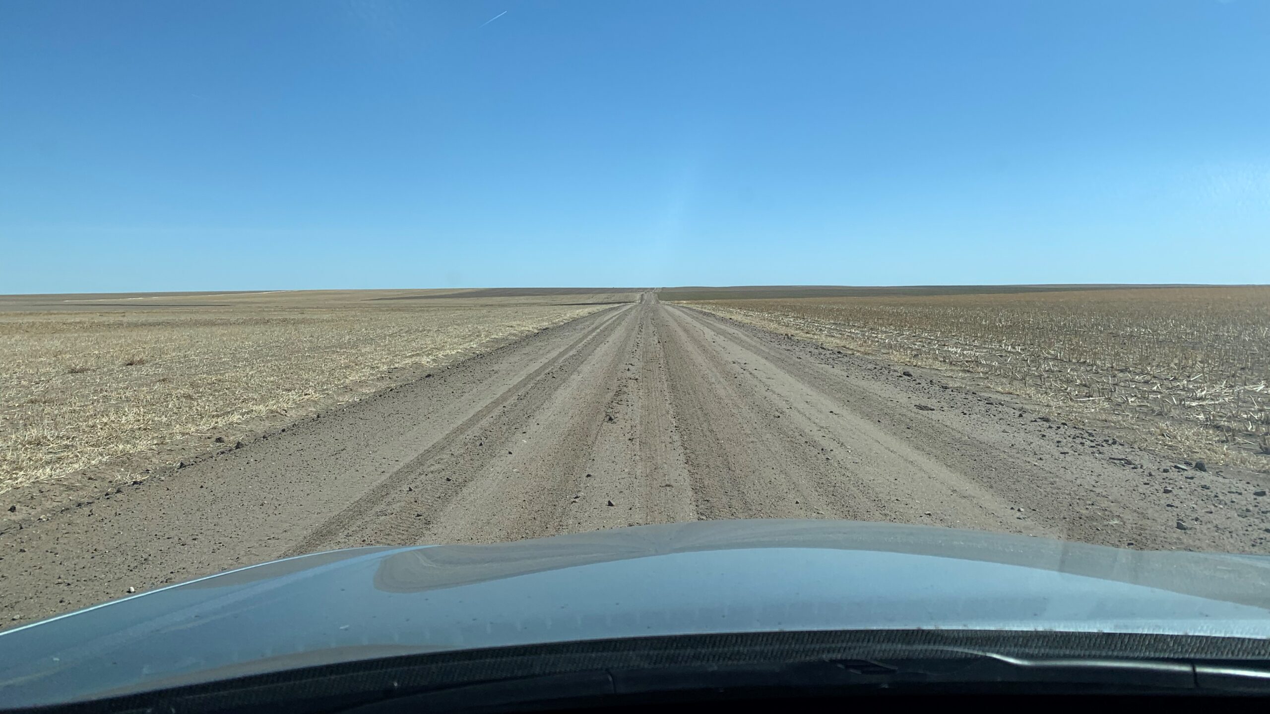
My next stop was Mount Sunflower, the highest point in Kansas. It’s half a mile from the Colorado border and 11 miles from the nearest paved road. There are taller hills in the state, but because of the general rise in elevation from east to west, this spot, which looks like every other spot, is higher above sea level — 4,039 feet to be exact.
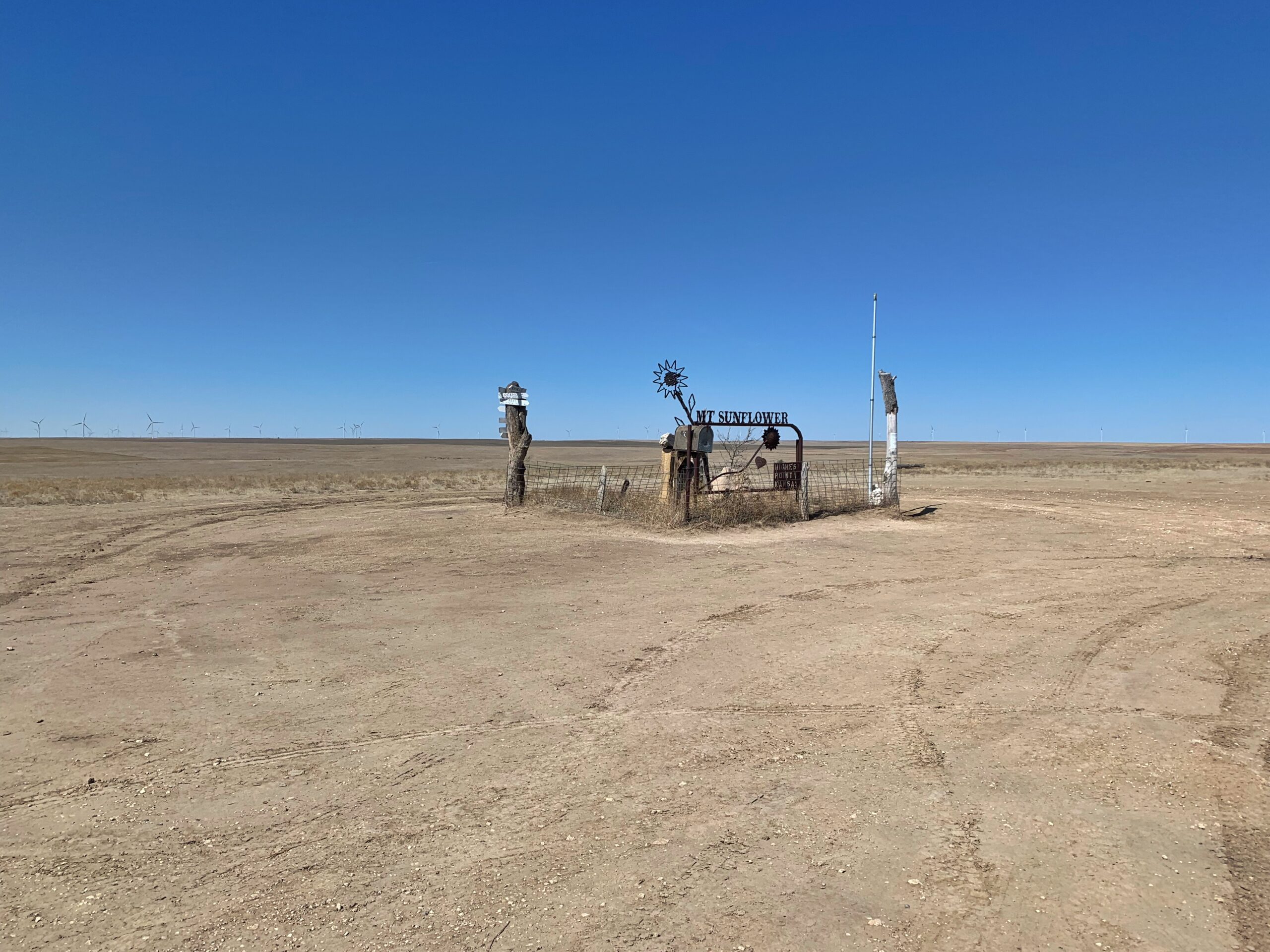
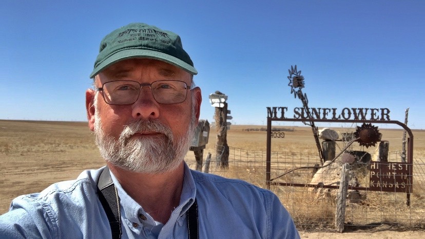
There isn’t much to do here except take pictures of the sculpture. I knew it would be like this, but enjoyed it anyway. I stayed about five minutes and was getting ready to leave when another car, with a family of five, drove up. The father asked me to take a picture of them, and so I did.
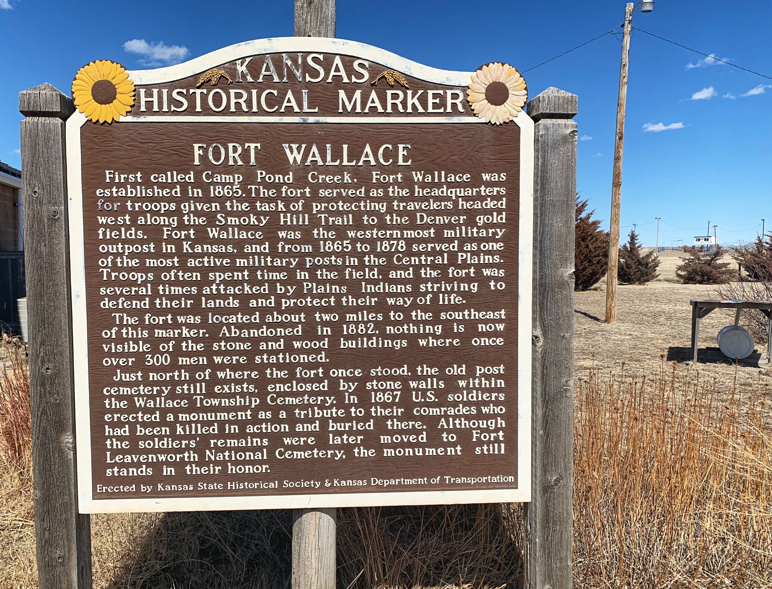
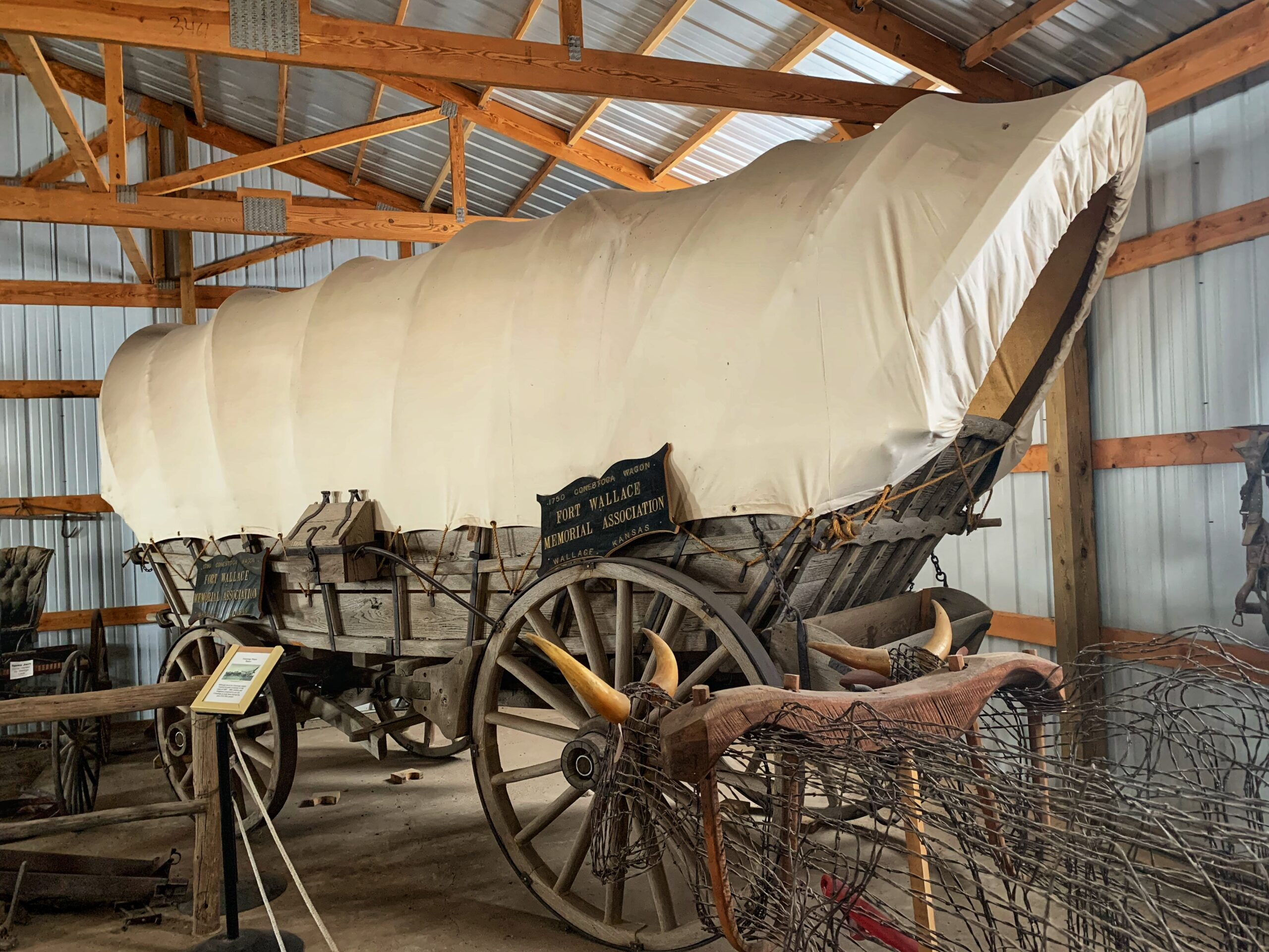
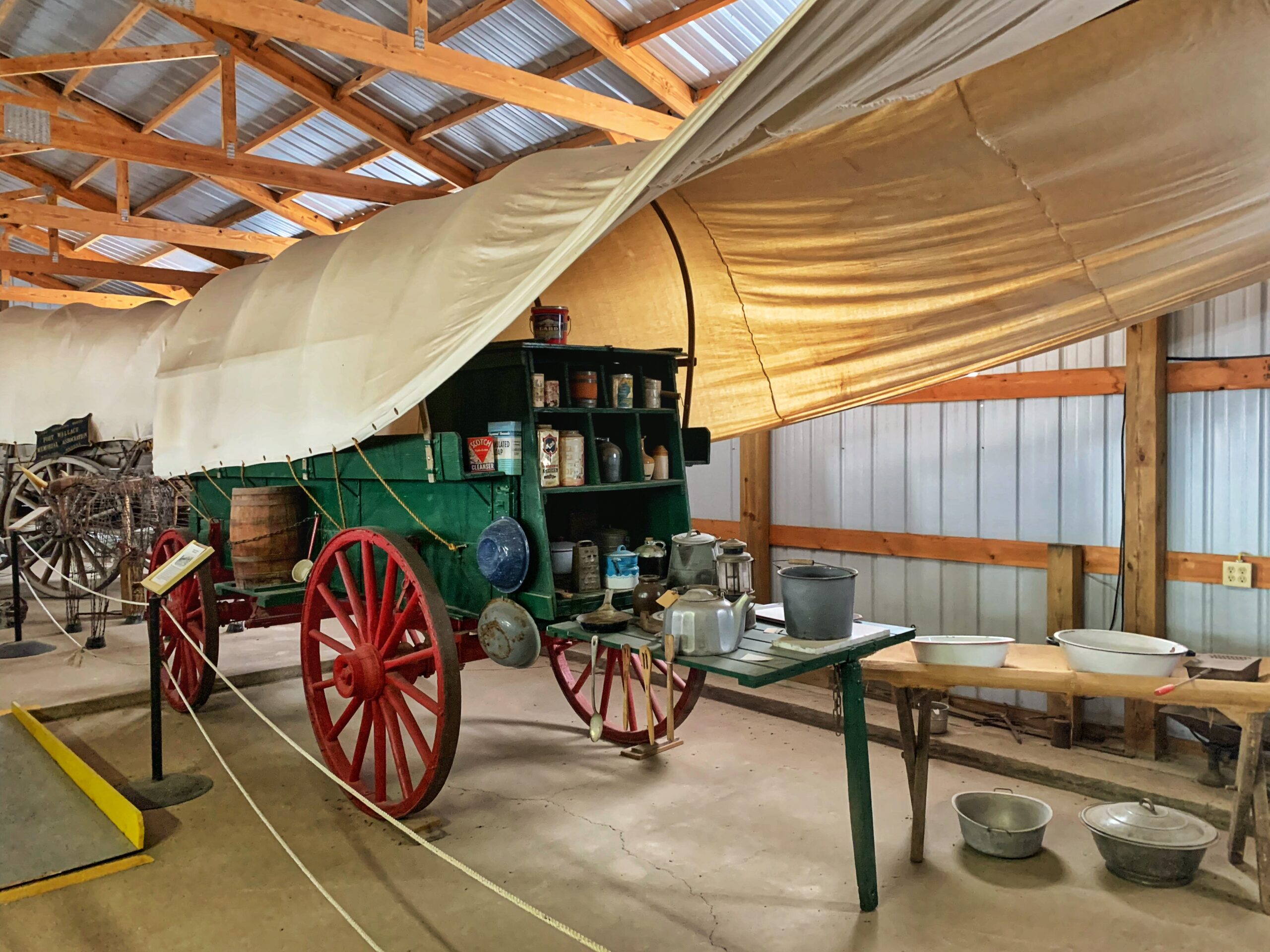
Twenty or so miles further east I visited the Fort Wallace Museum. There’s nothing left of the fort itself (which was located not far from the museum) except the cemetery. The museum consists of five buildings filled with random local stuff — as all small-town museums are — somebody’s grandma’s wedding dress, a clock that’s old, Uncle Farley’s WWI uniform. I stayed less than an hour, and for most of the time, I was the only visitor.

Rebuilt Conestoga Wagon and cattle drive chuck wagon.
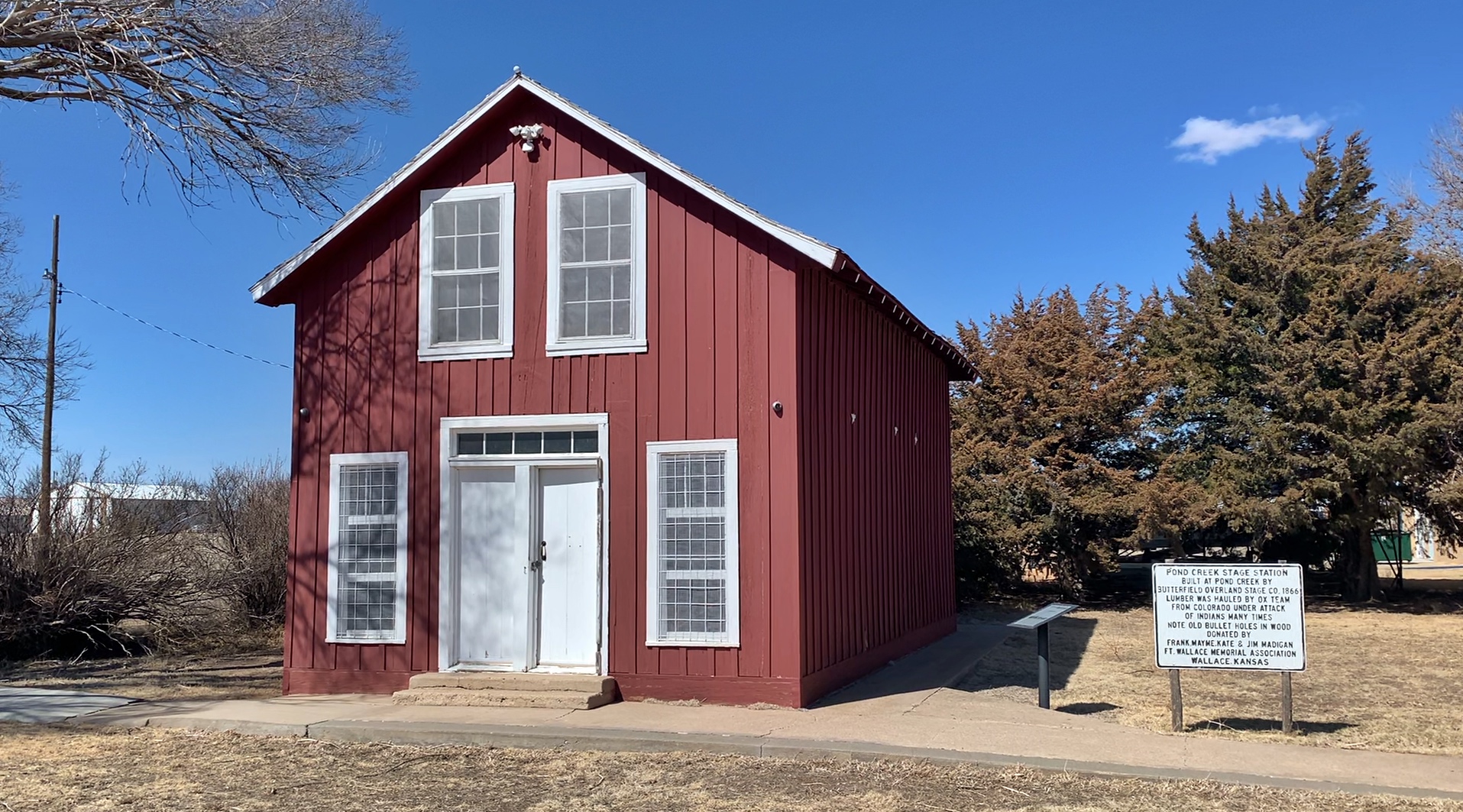
The most interesting feature was the Pond Creek Stage Station, the only remaining station from the Butterfield Overland Stage Company. It was built in 1866.
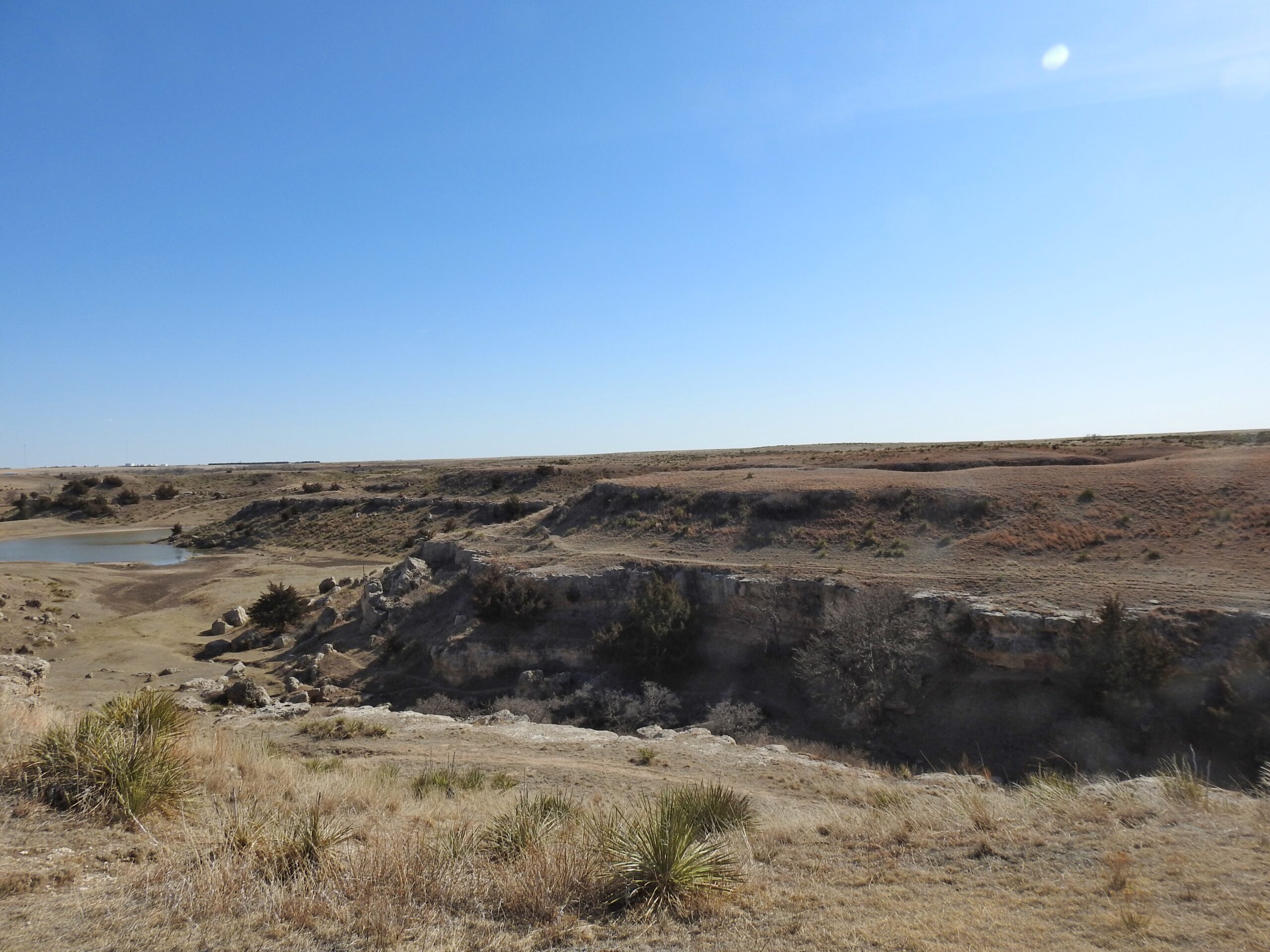
I went to my next stop, about 40 miles southeast, mostly because of the name.

In 1878, about 300 Cheyennes left their reservation in Oklahoma and headed back toward their traditional territory to the north. They looted, murdered, and raped along the way and were pursued by the Army. They took refuge in this canyon and prepared an ambush. The warriors dug holes and lined them with rocks
The canyon
The cave, most of which is visible in this photo. It isn’t at all deep, more of an overhang than a cave.
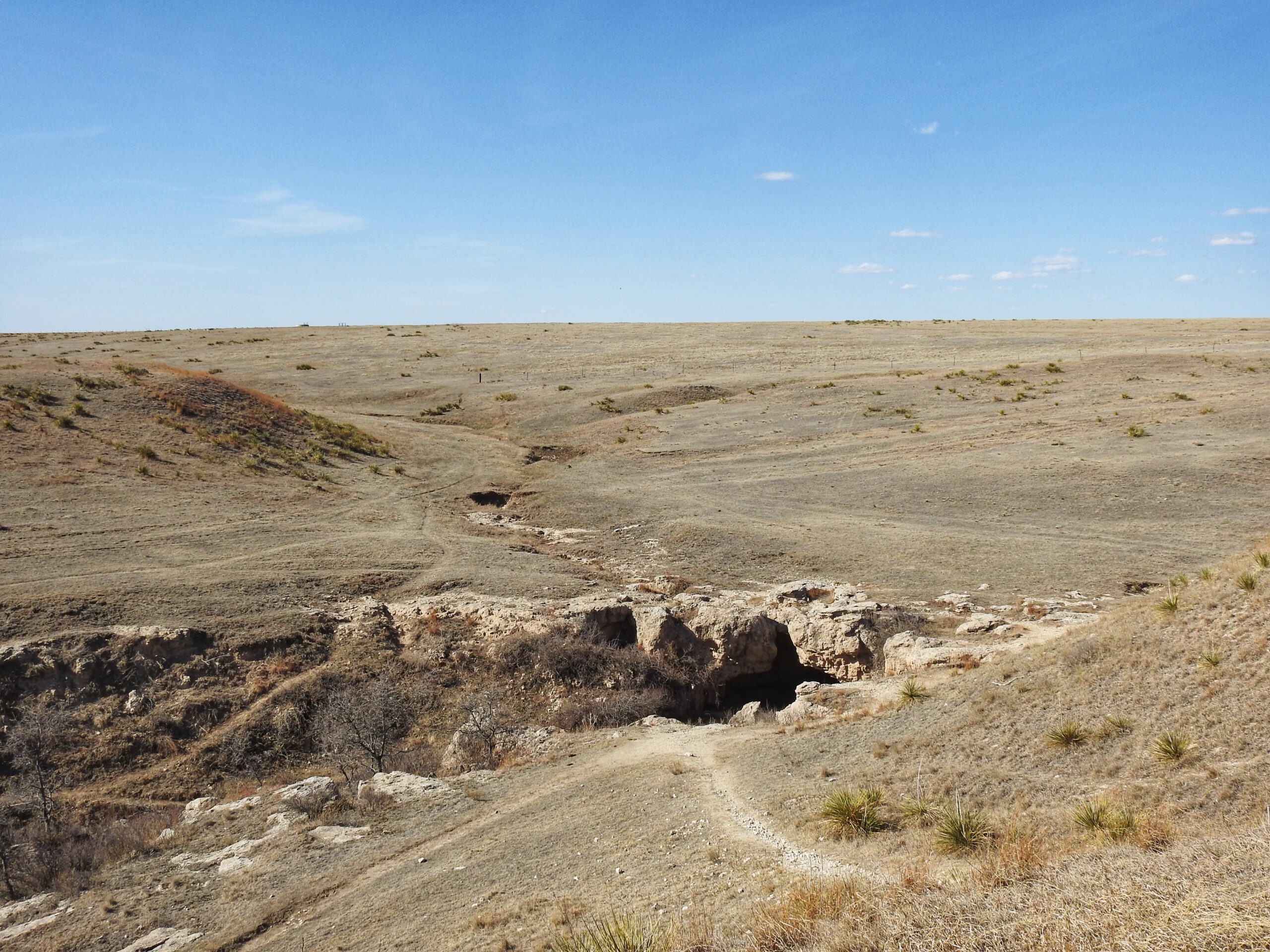
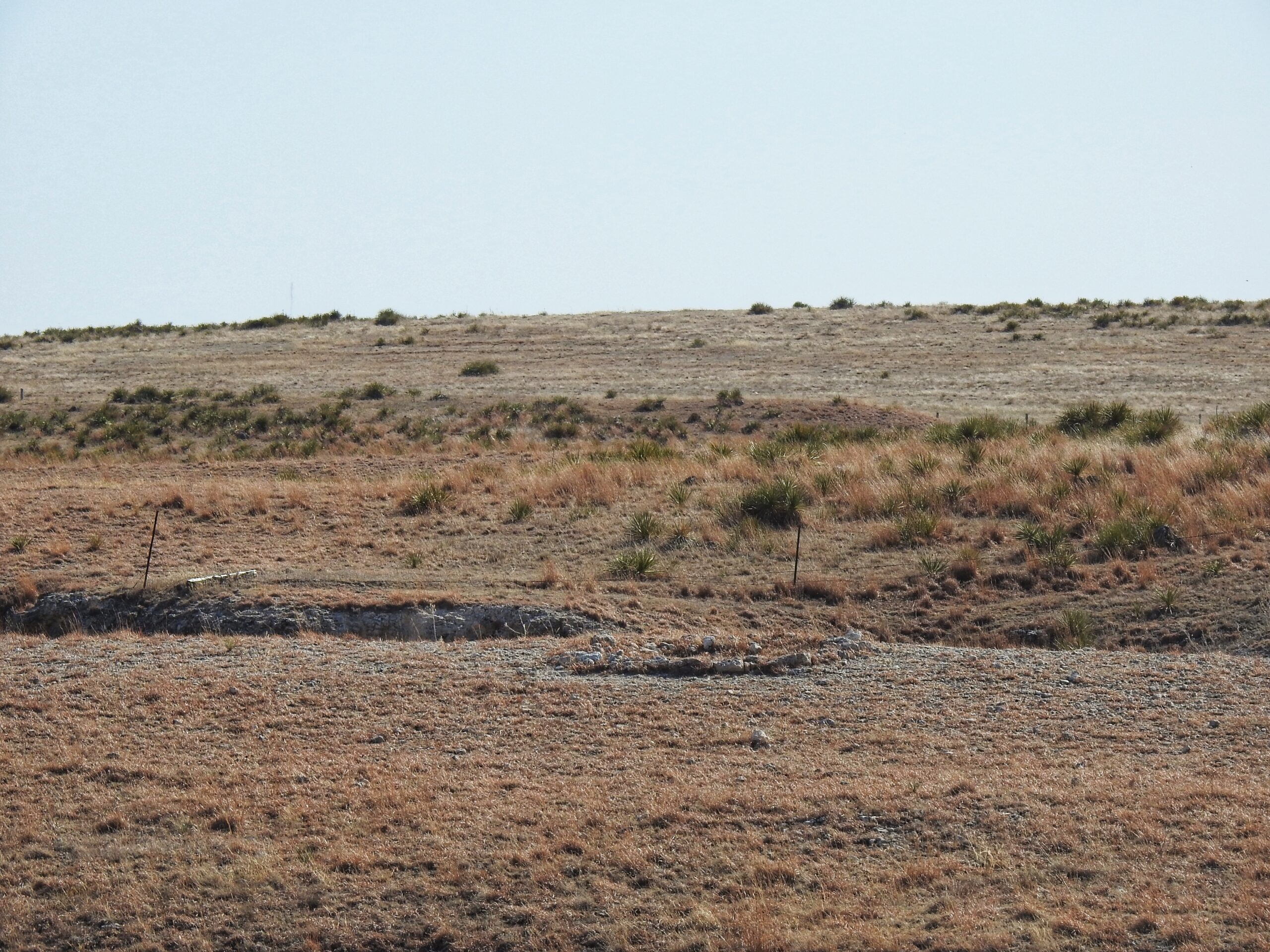
The remains of one of the Cheyenne rifle pits on the far side of the canyon. The other canyon (visible as a slit through the middle of the photo) is where the Indians corralled their horses.
As 238 soldiers under Lieutenant Colonel William H. Lewis approached, an Indian fired a shot, hitting Lewis in the leg. He bled to death not long after. Without their commander, the troops allowed the Indians to escape in the night, although without part of their pony herd and supplies. They were later caught and either killed or resettled on a reservation in Montana. I was unable to find an explanation for the name.
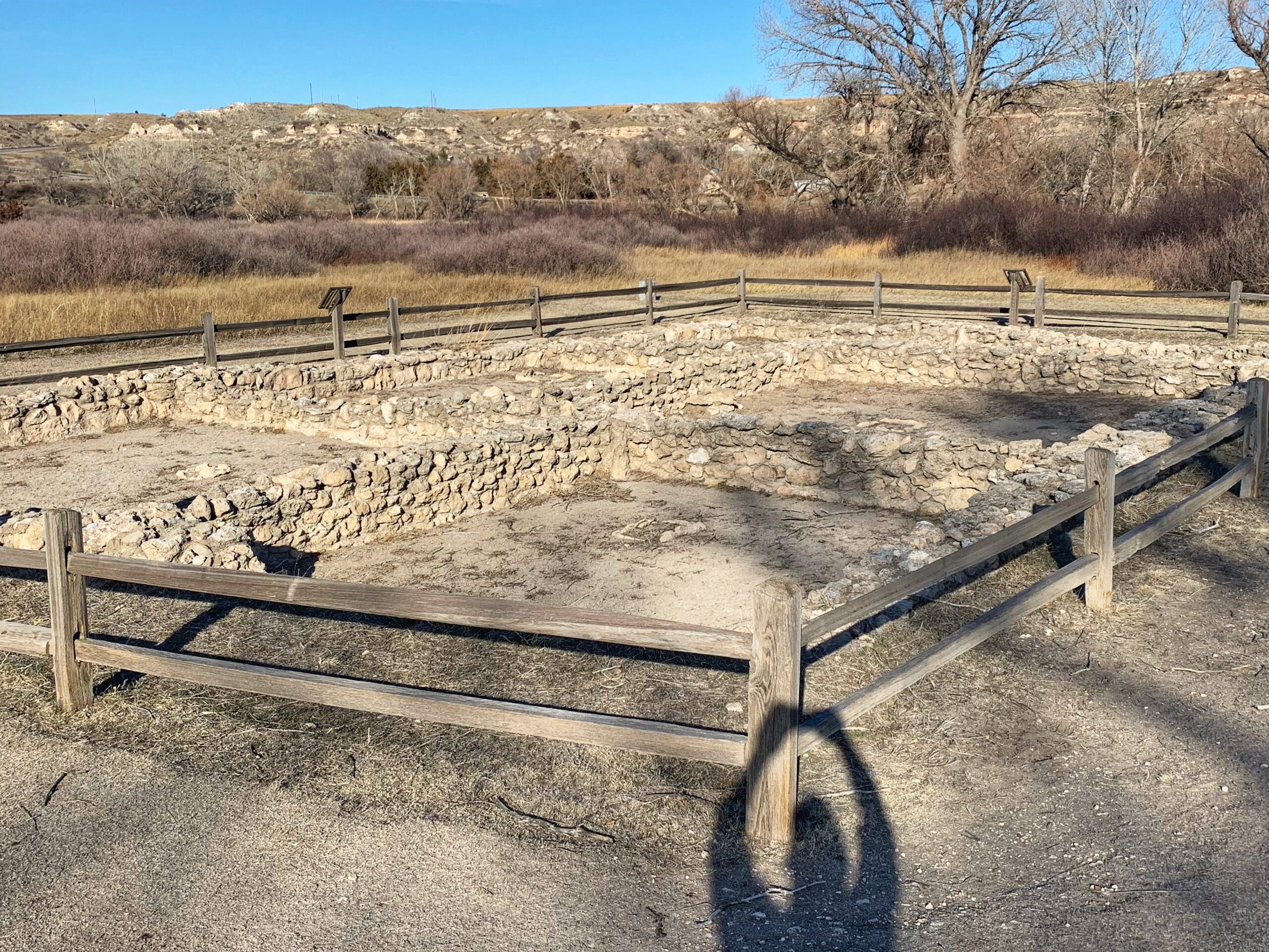
I wandered around nearby Lake Scott State Park for an hour or so, birding and enjoying the day. The Indian ruins below are named El Cuartelejo. There are no doors, so the inside was apparently accessed by ladders to the roof and then down into the dwelling. Signs along the sides state that it was the northernmost Pueblo found in the US, but other signs just a few feet away say it was built by the Plains Apache. So who knows.
My long day ended with a supper of tasteless pizza at Pizza Hut, the only restaurant open at 7:00 pm on a Saturday night in Oakley, Kansas that wasn’t a bar. I stayed at the Kansas Country Inn, which hasn’t been updated or refurbished since 1970. The bed felt like it was stuffed with items from a kitchen junk drawer, and every noise made inside or outside the building reverberated through the walls and ceiling. I ended up turning on white noise on my phone and replaying it loudly all night. Even so, I got very little sleep. But apart from that, the day was a lot of fun.