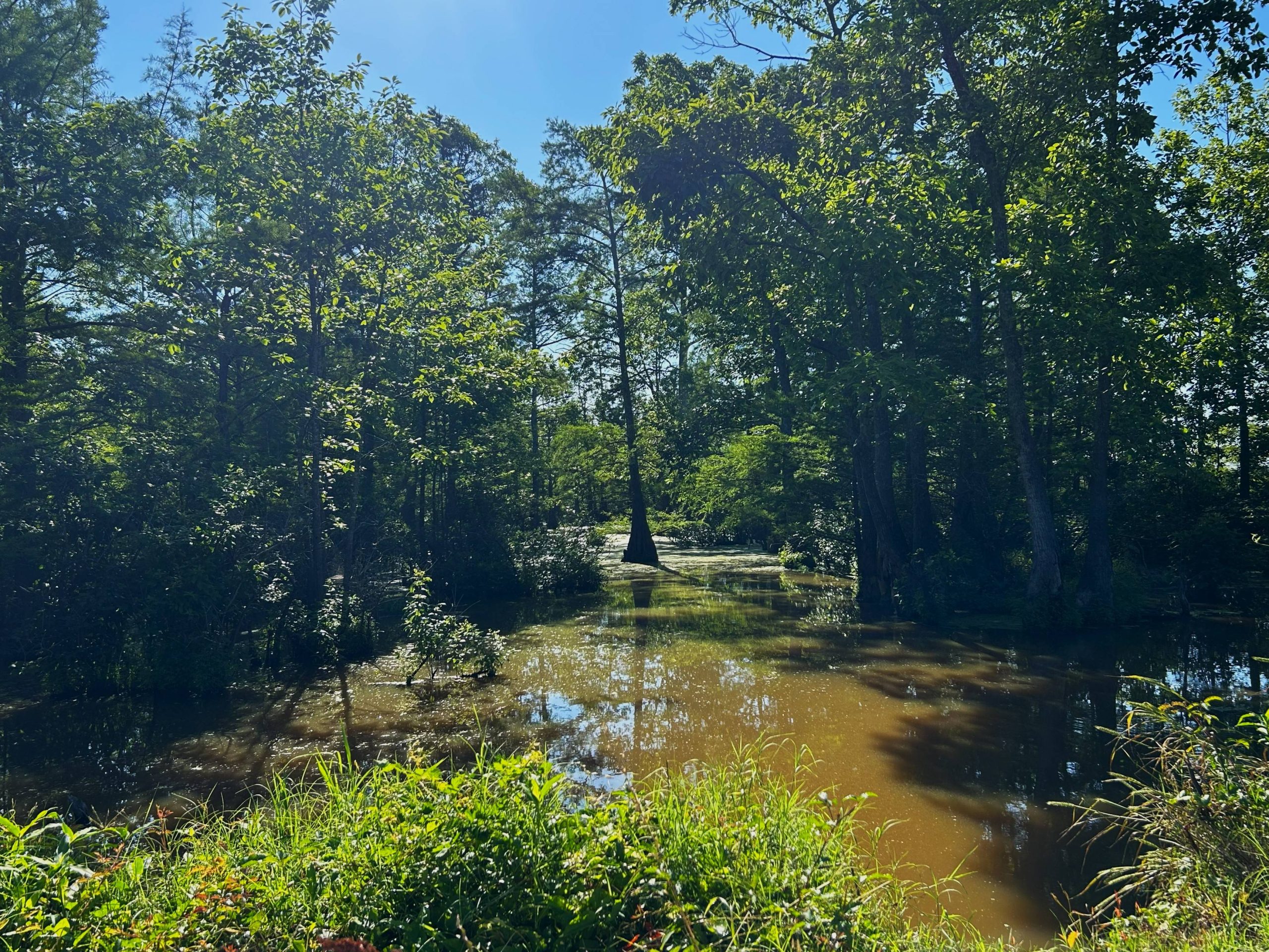
The refuge contains three basic habitats — snake-infested fields, most of which are planted with soybeans or rice, snake-infested swamps, and snake-infested woods. And it can be rather dead at times, bird-wise. But when it’s hopping, it’s hopping.
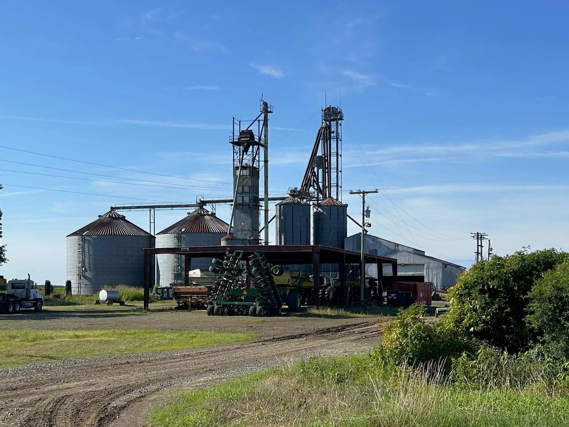
I’m told they lease so much of it to farmers to get the funds needed to manage it. That’s fine, unless I happen to go on a day when their crop-dusting. There’s a huge silo complex in the center of the refuge.
I’ve been here 67 times in the four years I’ve lived in Arkansas, even though it’s a two-and-a-half hour round-trip. That’s once every three weeks, but since most of the refuge is closed between November and March for duck hunting, it’s more like twice a month.
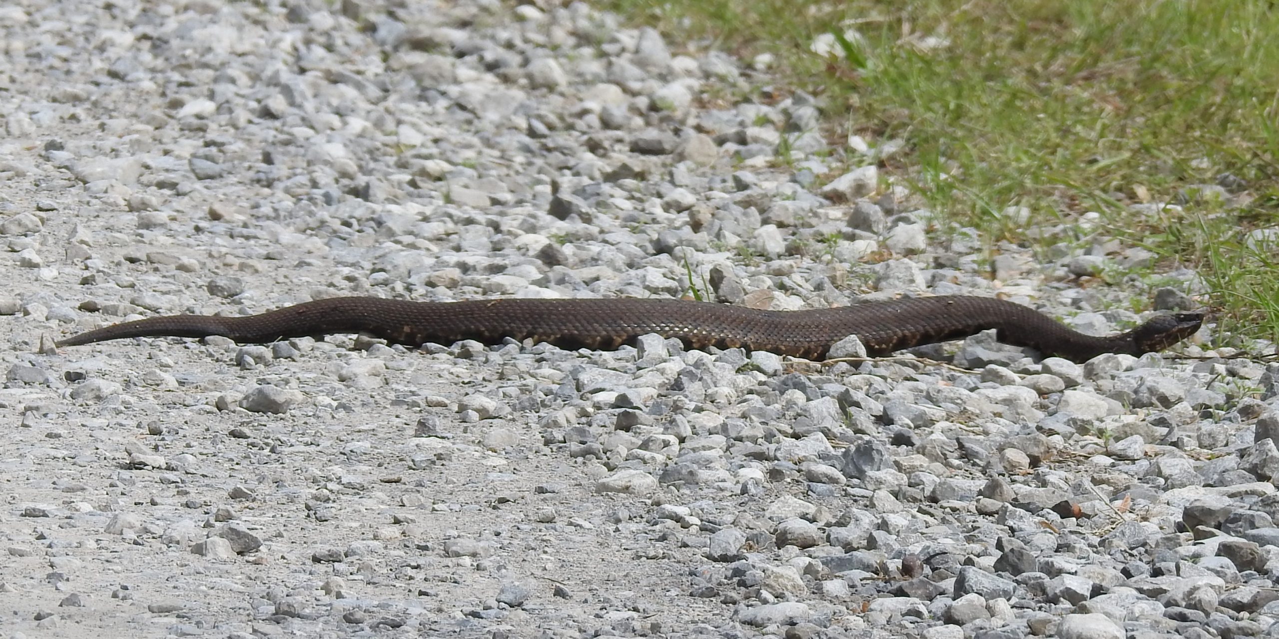
I’ve seen perhaps 15 Cottonmouths in Arkansas, and probably 10 of them have been crossing the roads here. (Picture taken in April 2023.)
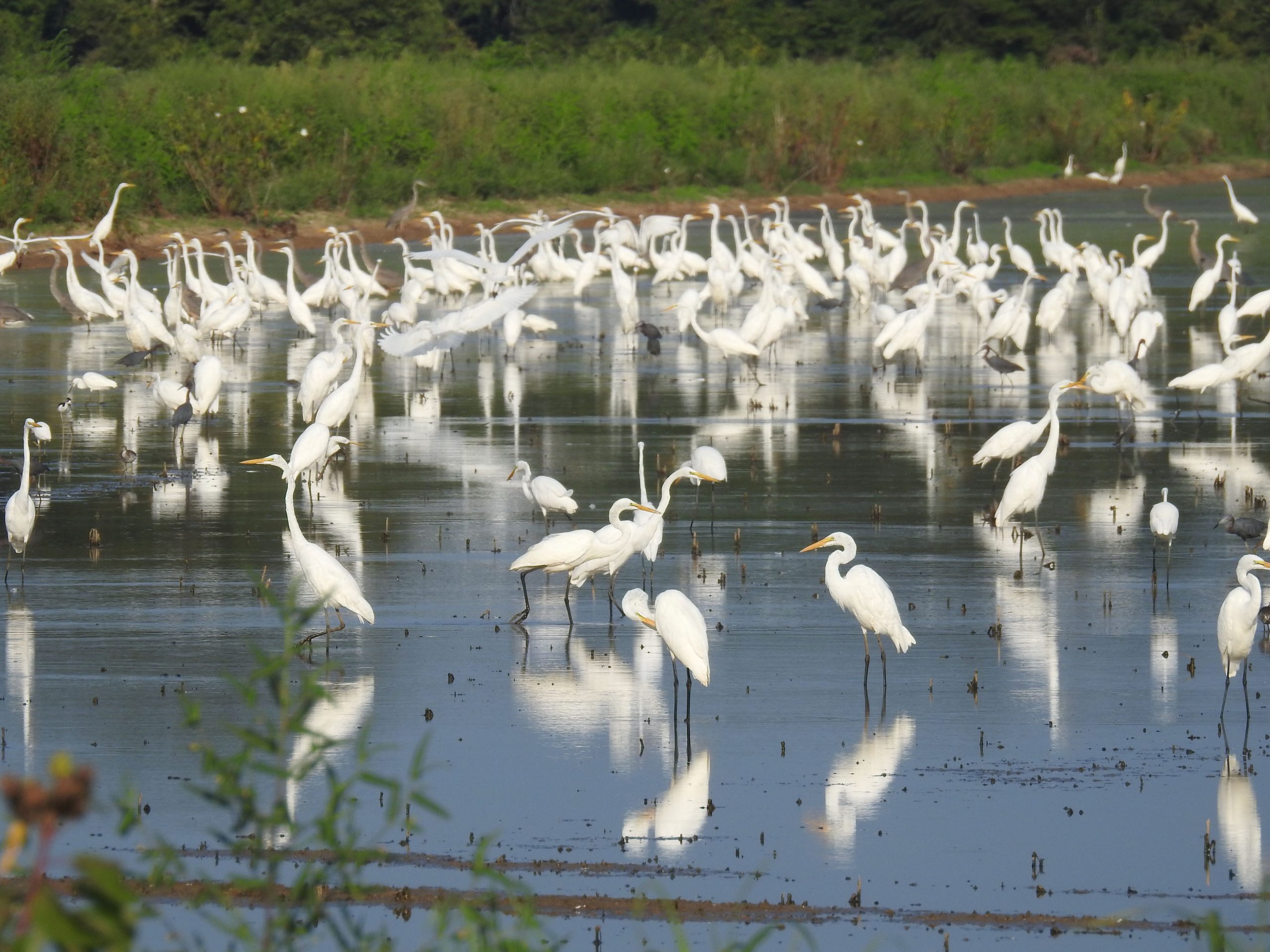
There’s also dust to deal with, and heat, and fast-driving farmers who don’t think birders should exist. But I’ve also been there when there were thousands and thousands of shorebirds and/or hundreds of egrets and herons. (Picture taken August, 2025.)
There’s a whole group of birders from the Searcy area who hardly bird anywhere else.
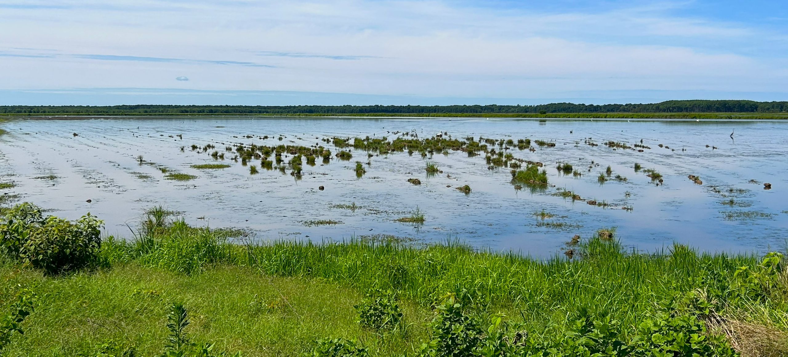
Each year, they set aside three cells and manage them for shorebirds and waders.
On the day I took these photos, I spotted four Otters swimming in one of the channels through the woods.
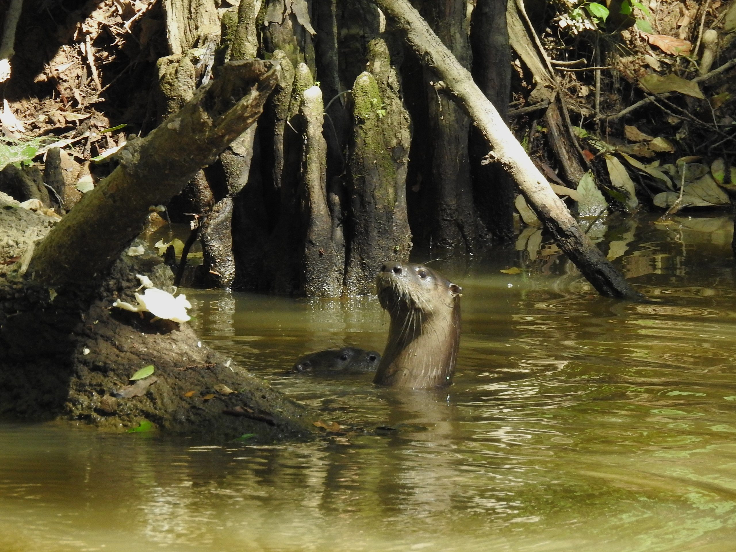
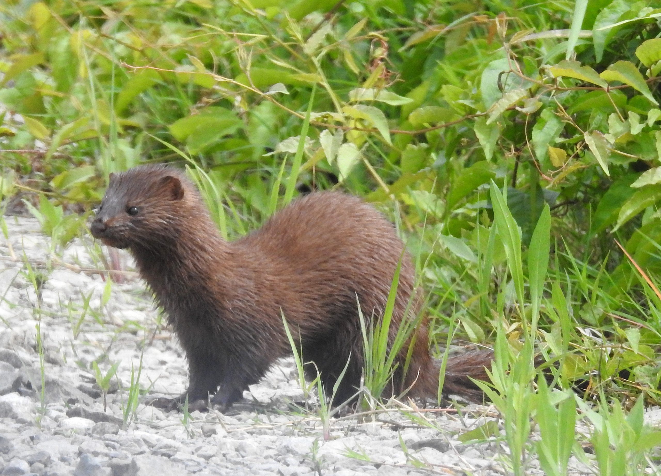
I’ve also seen Mink. (Picture taken June, 2025.)
My best bird was three immature Red Knots that nobody believed I really saw until a birding friend refound them later in the day. In all, I’ve seen 192 species.
It’s definitely an “anything can happen” kind of place.