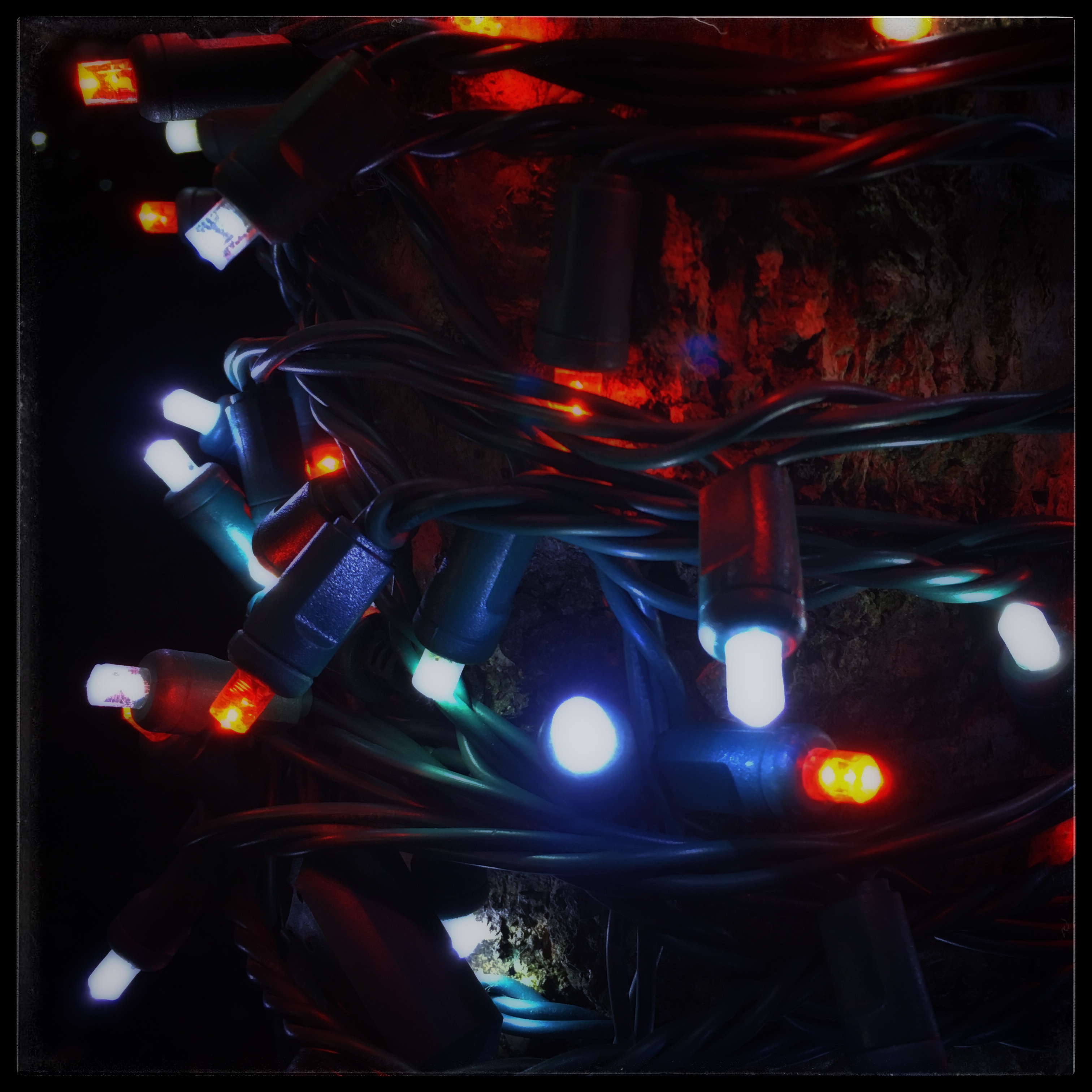
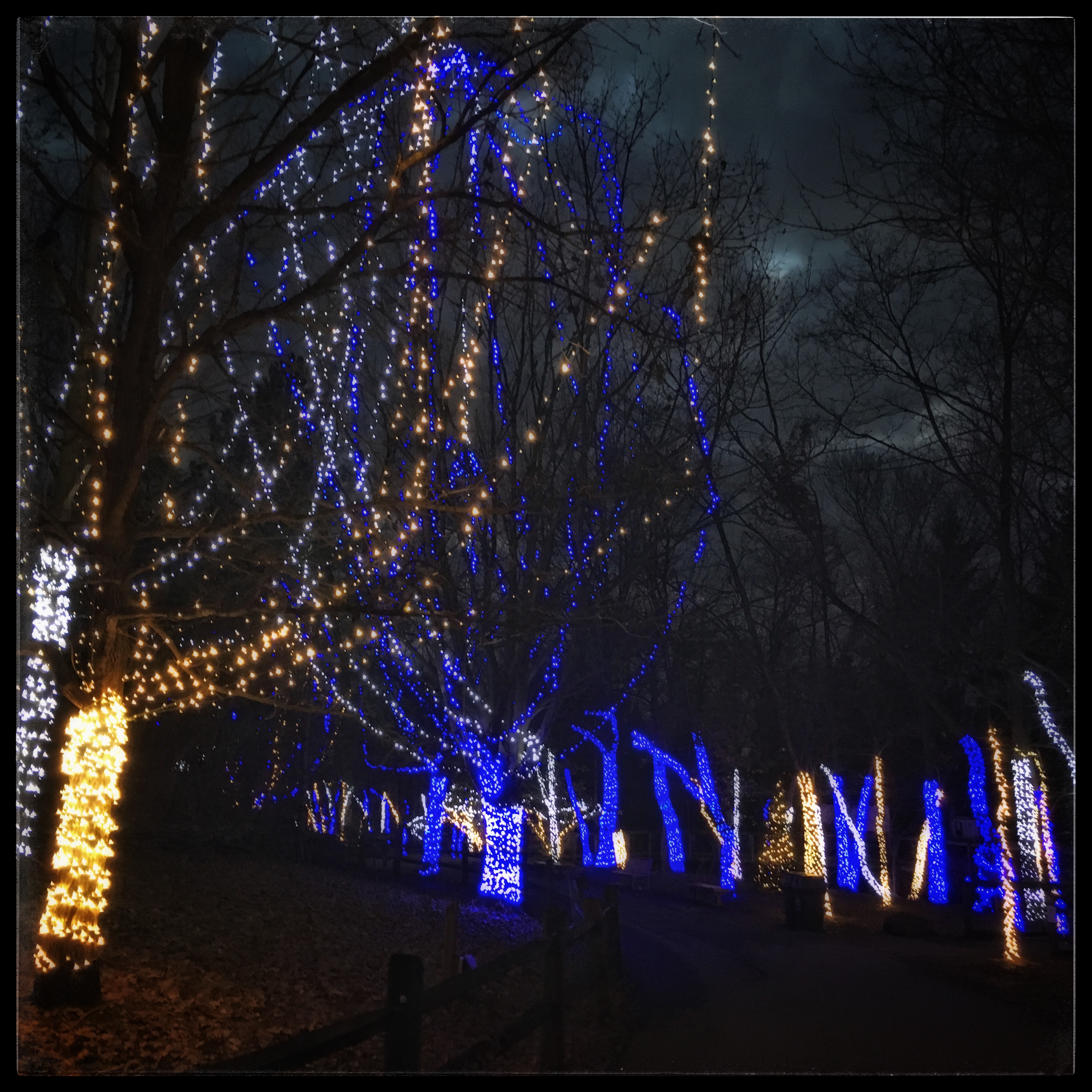
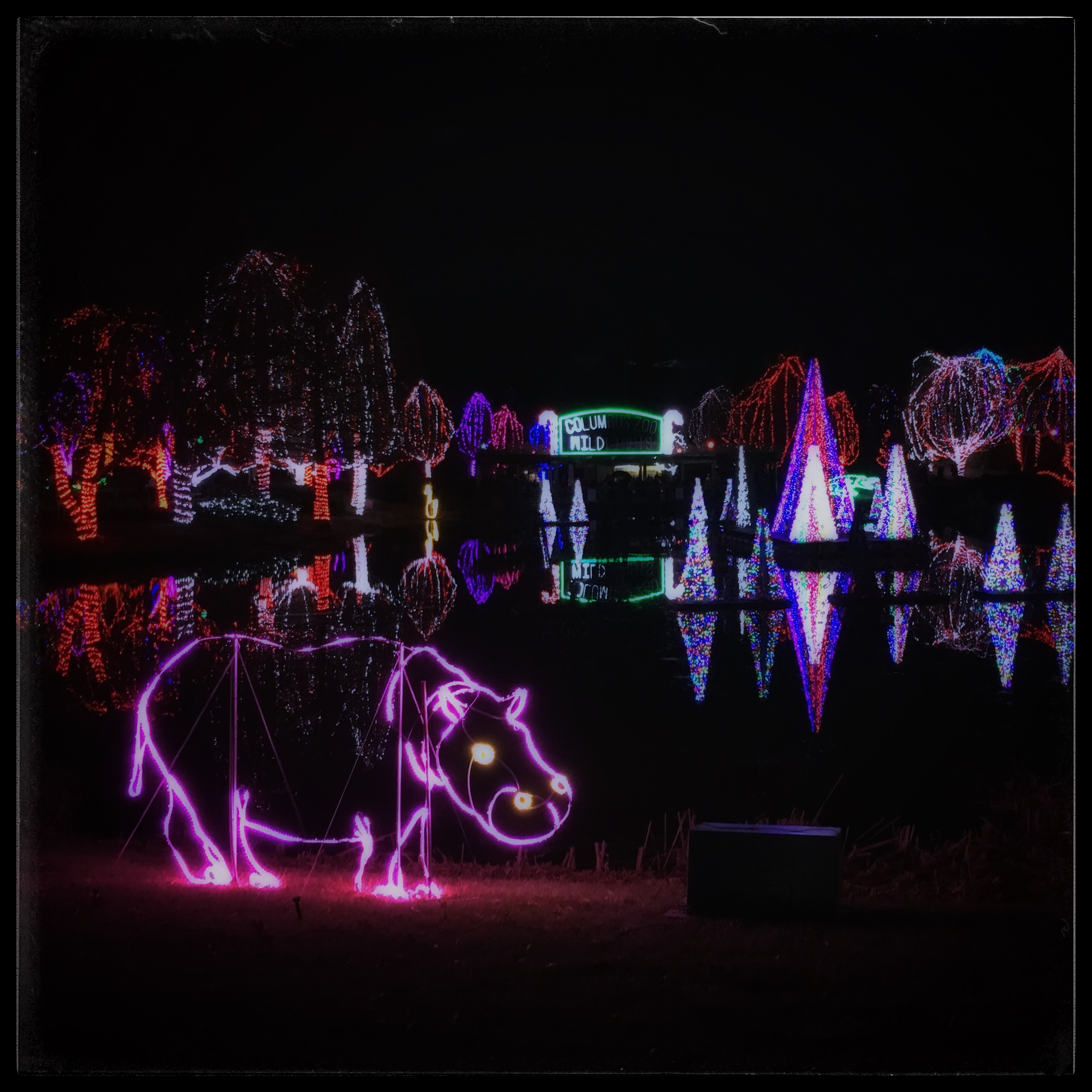
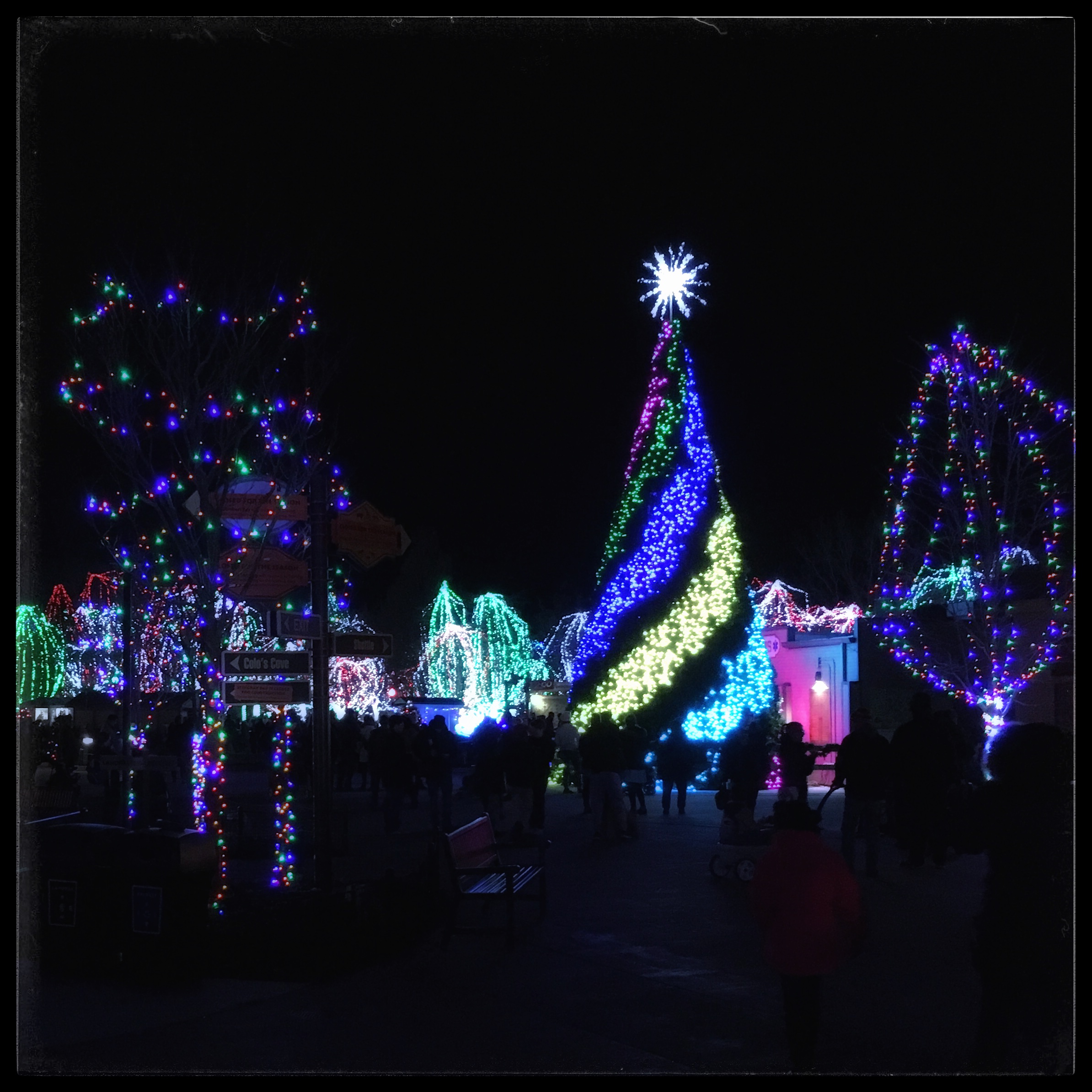
We went with friends to see the lights at the Columbus Zoo. The plan basically worked, except that there were very few animals to see, so most of our time was spend wandering through an empty zoo. The lights, when the came on, were impressive. On the way back to the hotel, we stopped at Chocolate Cafe and had grilled cheese and dessert.
While we were planning our next trip to Columbus, I somehow found out Over the Rhine was performing in Cleveland on the night we flew into Ohio. I did some quick calculations and figured out that we could make it work. We invited friends to join us.
Our plane landed at 3:30 local time. We rented a stupid Nissan that kept beeping and telling me that the front-facing radar was unavailable. I didn’t care, and soon, what began as annoying became a joke. Later, it also gave us the warning that there was a “low outside temperature.” It was 38°. We didn’t panic.
We arrived at the Music Box Supper Club around 6:00. It was in an older warehouse section of Cleveland along the Cuyahoga River. Several tall bridges towered over the club and the river and the roads down below. At one point, we were on a bridge over a canal under a bridge over the whole neighborhood.
We were seated at a long table with four other people with the stage on our right. We had a fairly tasty and expensive supper — I had strips of steak over rice, my wife had pot roast.
The opening act was a guy names Clarence Bucaro who sang about eight songs. I haven’t added any of them to my playlist, but they weren’t bad. When Over the Rhine came out, there was just three of them — Linford, Karen, and Brad Meinerding (who plays several instruments and sings harmony). Because there were fewer instruments than last time, their sound wasn’t as dynamic. They didn’t play many of the songs I’m familiar with, and a lot of what they did play was bluesy. They’d crack a few dry jokes about their relationship or things that have happened to them, then play something fairly dark (but usually with a message of hope). They claimed to have invented two new genres of music — reality Christmas and apocalyptic love songs.
They played for two hours — including the silly bit where they say goodbye but the lights don’t go on and everyone knows they ‘re coming back out. The vibe wasn’t as cool as last time, but we enjoyed ourselves and were glad we made the trip.
anser (goose) brachyrhynchus (from brakhus short, and rhunkhos, bill)
Tuesday, December 11, 2018 — 1:08 pm
Weld County, Colorado — County Road 7 about a mile south of Route 119
Earlier this week, local birders started a Colorado Rare Bird Report Facebook page. I signed up, of course. This morning, somebody got on it with a live video of a Pink-footed Goose about 30 miles north of Denver.
Pink-footed Geese breed in Greenland and Iceland and winter in northern Europe. There are a few records from the US east coast, but none from inland. Yet there was a live video on my computer of a Pink-footed Goose just two hours away.
I had a half-vacation day, left over from my failed morning attempt at a Western Screech-Owl back in the early spring. I asked my boss if I could go and she shooed me out the door on my “wild goose chase,” as she called it. It was 11:15 am.
I drove home and changed my clothes and grabbed my binoculars. I was on the spot a few minutes after 1:00 and pulled over next to the group of birders with scopes. A friendly guy pointed out the goose as soon as I got out. I had forgotten my camera, so what pictures I have I took by holding my phone up to my scope.
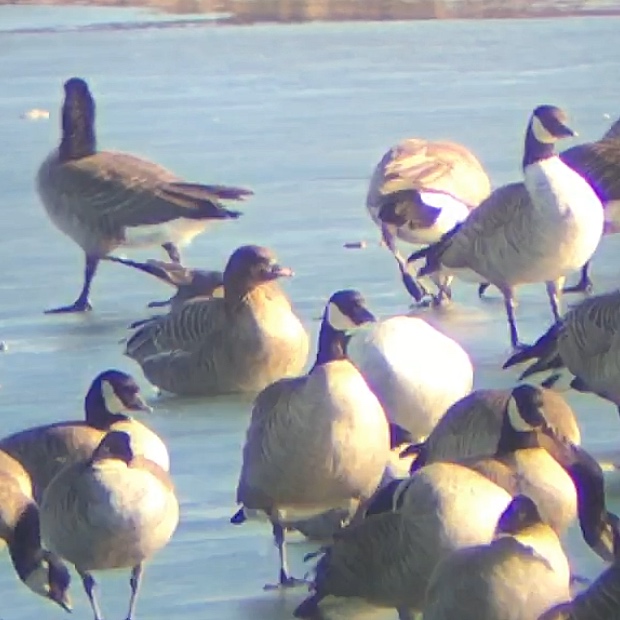
The Pink-footed Goose was with maybe 12 Canada Geese on the ice in a gravel pit pond, maybe 100 yards away. The Canadas were standing, but the Pink-footed Goose was sitting on the ice. I could see that it was grayish on the back and buffy brown underneath, with a darker brown head. Its bill was black with a pink splotch on it. The Pink-footed Goose was smaller, with a shorter neck and bill than the Canadas.
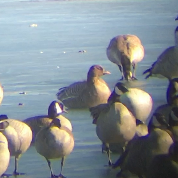
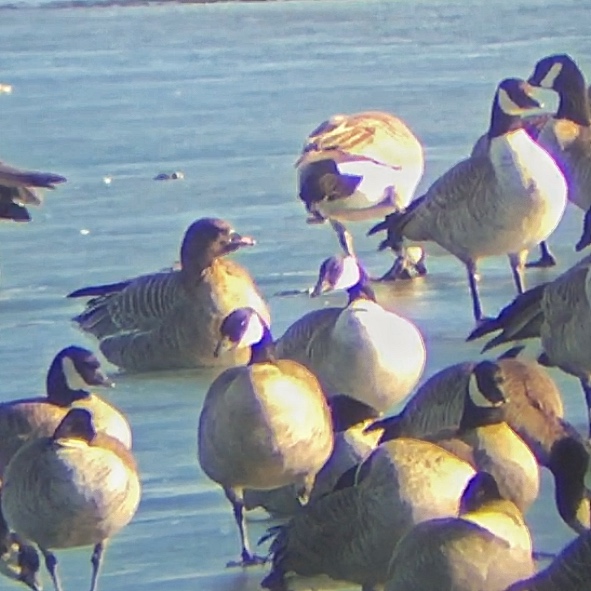
I couldn’t see the pink feet. Confession time. I never saw the pink feet. Maybe five minutes after I got there, the geese took off and flew maybe 400 yards to another pond where a couple hundred Canada and Cackling Geese were hanging out. I hiked up there with the rest of the birders, and we soon located it again. It had already settled into its sleeping posture. I got it in my scope, which helped me keep track of it a couple minutes later when another couple thousand geese flew in. At this location, the goose was a little closer to the road, and the light was a little better. You can clearly see all the relevant marks — except the pink feet.
About four-fifths of the time, it had its head tucked so it looked like this.
I was planning on hanging around for maybe an hour, in hopes that it would stand and I’d see the famous feet. But an immature Bald Eagle had other plans. He flew over the lake, and the the huge flock of geese took off in a massive wave and broke into several flocks which flew off in several directions. The eagle is the large, dark bird in the middle of the video. You can get an idea of why we couldn’t find the Pink-footed Geese among the others when you noticed the massive flock of geese peppering the sky in the distance.
I drove around the area for a bit, and checked out a flock of geese on another pond, but I didn’t find the pink-footed goose again. I could have hung around but I had a two-hour drive ahead of me and I had no way of knowing if the goose would be found again. As it turns out, the goose was relocated around 3:00, feeding in the grass around one of the ponds where I first saw it.
A lot of waterfowl are kept in zoos and private collections. Many out-of-range ducks and geese are escapees. So there’s a question about whether to count this bird. The question is based on location — Colorado is a very long way from Greenland. The arguments in favor of it being countable are that the wing and tail feathers are in very good shape — unusual in a captive-kept bird. It hadn’t been pinioned (cutting it’s flight feathers so it can’t fly). And it wasn’t wearing a band. All of the local experts who have strong opinions on these sort of things believe this to be a wild bird. It won’t be official until the Colorado birding committee decides to add it to the state list. But unless I hear a definite report that it’s a known escapee, it’s on my list.
Postscript: I went back to the area four days later to look (unsuccessfully) for a Gyrfalcon. The goose had moved to Firestone Lake, perhaps five miles from where I first saw it. It was hanging around with several thousand Canada and Cackling Geese. I got great looks as it swam with its friends, but I still didn’t see the pink legs.
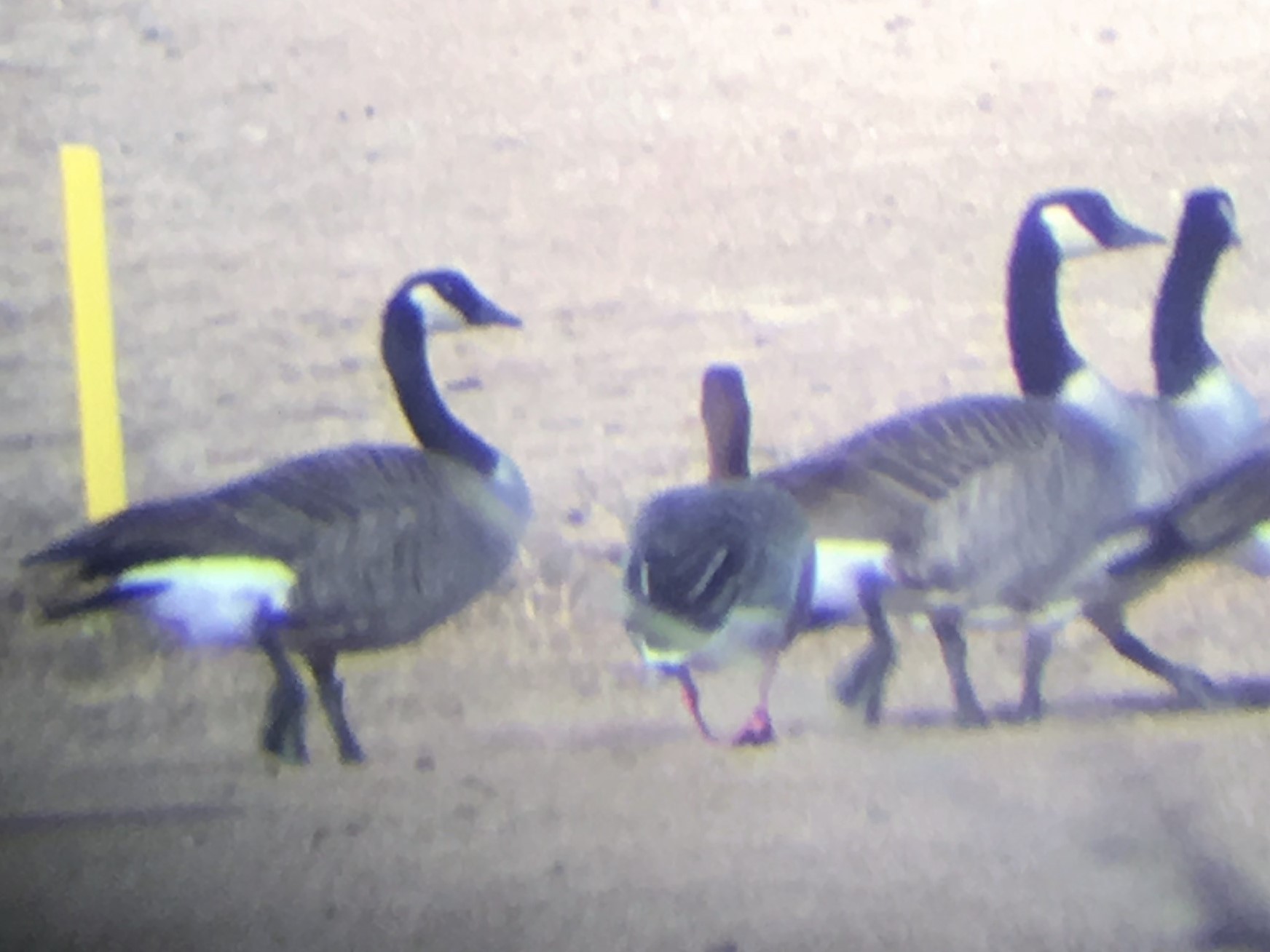
Postscript 2: I headed north again on January 5, 2019 for another unsuccessful attempt to see the Gyrfalcon. I stopped at the lake again, and this time I saw the pink feet. The Pink-footed Goose was grazing on a golf course next to the lake with a small flock of Canada Geese.
Word came down a few weeks later that the Colorado Records Committee has decided not to validate this goose by adding it to the state list. You can read my rant on that here, and watch some video of the Pink-footed Goose.
On September 8, 2019, I saw a post online that informed me that the Colorado Records Committee has now official added Pink-footed Goose to the state list. So there you have it — it’s officially official.
Posted inWildlife|Comments Off on Bird #506 — Pink-footed Goose
We stayed at The Stanley Hotel in Estes Park for two nights over Thanksgiving. On Friday morning, we ate breakfast at The Egg and I. My wife had avocado toast for the first time, and liked it. I had a skillet, which would have been good if not for the hollendaise sauce dumped on top. The service was great, and when we asked on the way out where the best place to park in town would be, the manager told us to leave the car in his lot.
We didn’t make it far. The wind was howling, as it would continue to do all day, and the stores didn’t open for another hour. We headed back to the car and went back to The Stanley to visit its gift shop.
We made another try in town shortly after 10:00. One of the first stores we visited was an antique store that specialized in small stuff — jewelry, coins, autographs of famous people. There were drawers and drawers of interesting stuff. I bought a Confederate States of America $5 bill. My wife got a locket and an old tin of gramophone needles. It’s unlikely I’ll ever drive through the town again without stopping there. We visited several other stores and spent a lot of money on stuff. We bought some caramel corn at the most interesting-looking store in town, but the corn wasn’t very good.
When we’d exhausted our capacity for shopping, we went to the Estes Park Pie Shop. We split a grilled-cheese sandwich and each had a piece of pie. The food was good but not over the top, but once again, the service was amazing.
We hung out in the hotel in the afternoon. After our tour, we walked down the hill in the dark and found a spot on the sidewalk in time to watch the “Catch the Glow” Christmas parade. This was serendipitous — we had no idea it would happen while we were in town. The wind was still blowing hard, but we were adequately attired. The parade wasn’t long, but the floats were pretty fancy and well done. The only criticism I can come up with is that the town isn’t all that well lit, so much of the parade stuff was hard to see — as you can can’t see.
On Saturday morning, on our way out of town, we ate breakfast at the Notchtop Cafe. Once again, we had adequate food but very competent and friendly service. Everyone we met in Estes Park, excluding some of the staff at The Stanley, was very friendly. For such a well-known and popular place, I expected a vibe more like Manitou Springs or Boulder. But the town had a conservative feel. We saw evidence that at least a couple of the store owners were some brand of evangelicals. We liked the town a lot.
We were footloose over Thanksgiving, so we decided to head out of town for two nights. Our destination was The Stanley Hotel in Estes Park. I’d driven through the town before, and seen the hotel up on the hill, but I knew very little about it other than the rumors that it’s haunted.
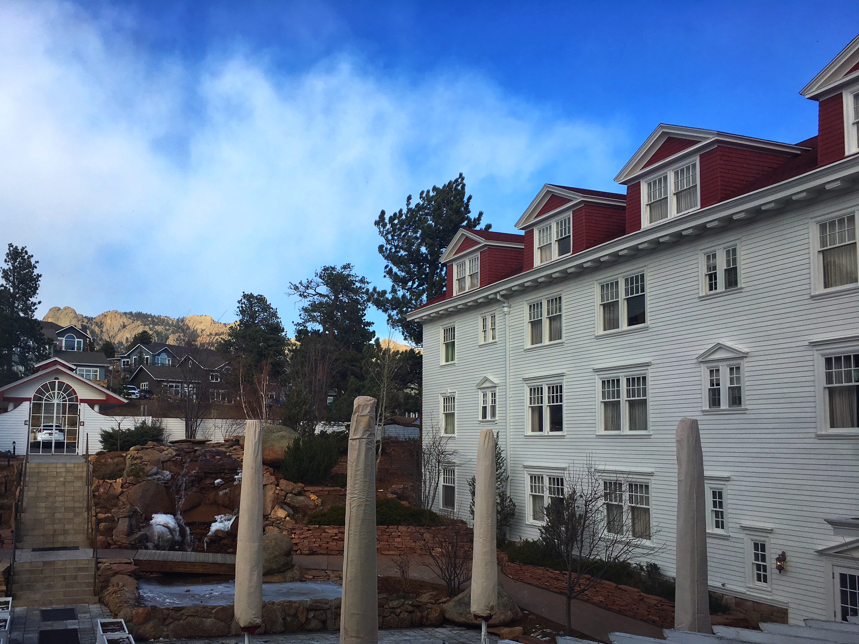
Our room was on the third floor at the far back of the right wing. You can see our window at the end, below the gutter. Notice the man-made waterfall right outside.
The “haunting” is based, as far as I can tell, entirely on the fact that Stephan King stayed there once and thought up the idea for his book The Shining. The original movie, with Jack Nicolson, wasn’t filmed there, but King himself filmed a six-hour version of the story some years later. The ghosts are supposed to be F.O. Stanley and his wife, who built the hotel and also a maid who lit a lamp that caused an explosion (even though she wasn’t killed and continued working at the hotel until the 1950’s).
Anyway, I so very don’t believe in ghosts that I slept fine and even wandered the halls after dark. And wander the halls I did. By the time we took the tour on Friday night, I’d been almost everywhere we were taken. But I get ahead of myself.
Our room wasn’t large or luxurious. The bed and pillows were hard, although we both slept well on both nights. The windows were old and warped — on Friday when the wind gusts reached 60 mph, we could almost have flown a kite in the bathroom. The faucet in the tub ran the entire time we were there. And the two chairs in the room weren’t comfortable. The floors creaked — ours a little bit, but the one above us, a lot. That would have all been fine with us — we don’t mind character, and we understand old buildings — if it hadn’t cost us $520 for two nights. That was a bit much.
Especially since, at that time of year, there isn’t much to do except sit in the room. We watched four Hallmark Christmas movies over the two nights. The four plots went like this — and I am not making this up:
A woman visits a small town and decides to move there, marry the guy, and buy her parents’ old house.
A woman visits a small town and decides to move there, marry the guy, and buy an antique store.
A woman visits a small town and decides to move there, marry the guy, and buy her grandmother’s house and a bookstore.
A woman visits a small town and decides to move there, marry the guy, and buy a general store.
In all four movies, there was cookie baking, snowball throwing, Christmas tree decorating and an attempt at a first kiss that was interrupted. I’ve had my fill. (I also managed to catch the tail end of the Bears win over the Lions.)
Thanksgiving dinner was buffet-style. The dining room was packed with tables so they could fit as many people in as possible. Our table for two was tiny and basically stuck in the middle of an aisle so people were squeezing past the entire time. It was also loud. The food was pretty good, if not great, and there was a wide selection. All of that would have been fine except that the $69/person price somehow came to $195 with drinks, tax and mandatory 18% tip which was applied after the tax. For a buffet. For service that involved seating us and bringing us two drinks.
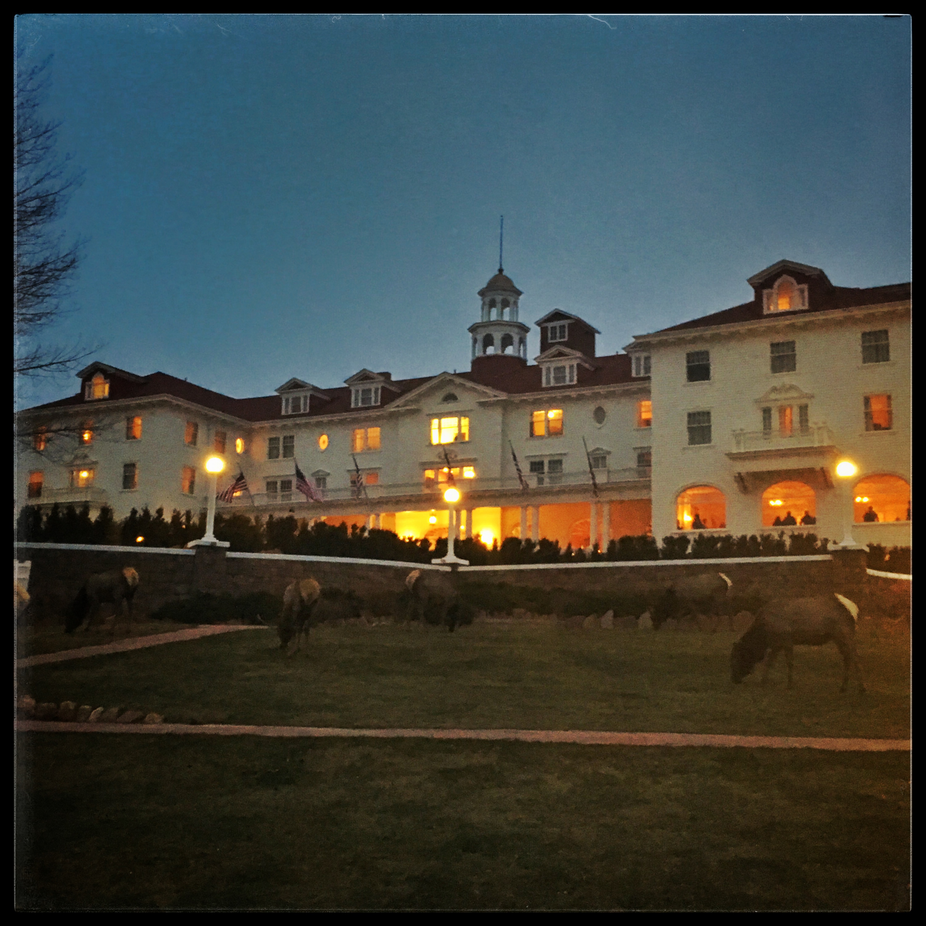
Right around dusk, I went wandering. When I wandered outside, I discovered a herd of elk on the front lawn. They were very used to humans and paid little attention the the many people walking around. I got within a couple feet of one as I walked down the sidewalk.
We spent Friday morning wandering through Estes Park and spending too much money. We got back to our room around 2:00 to discover that maid service hadn’t gotten there yet. I found out why when I did some more wandering. The “maids” were a couple of young men who were more interested in goofing off than cleaning. Many of the rooms were open and half-cleaned. I even ducked into one to take a photo facing out the front of the hotel.
At 4:00 we went downstairs for a tour — that costs us $20 a piece. The guy who gave it had an odd way of talking that included a lot of rhetorical questions (or at least nobody bothered answering him), and a habit of saying “Alright then.” He spent the final several minutes of the tour all but demanding tips. We honestly had no cash on us, so we grabbed an opportunity to ditch.
The guide took us outside and down to the ballroom, where Harry Houdini and other famous people have performed. He then stood us in the 40 mph winds to tell us about the outside of the hotel. We went inside to see the billiard room (which the guide pronounced “billard”) the now-empty dining room where we’d had lunch, and the hall way outside room 217 (where Stephen King stayed). We couldn’t go inside the room because its rented out for an increased fee. We were told the waiting line is three years long. We ended up in a tunnel in the basement, built so the servants could move about unobserved. It was here, trapped in the narrow space, that the guide hit us up for money.
We left early on Saturday morning. We’d had fun, and we’re glad we went. But we won’t be returning — not at those prices for that service. When we stayed at the Broadmoor earlier in the year, we spent a ridiculous amount of money, but felt like we were getting a exemplary service and a new experience. The Stanley, on the other hand, wasn’t that different from several other old hotels we stayed at except that it was twice as expensive.
Here’s a video of our stay.
Posted inColorado|Comments Off on The Stanley Hotel