Close to Home

After our excursion to the San Luis Valley last weekend, we decided to stick closer to home this Saturday. Our first stop was lunch, at Bingo Burger in downtown Colorado City.

A Bingo Burger, by definition, had Pueblo peppers ground in with the meat. I ordered one, with bacon and cheese. With my fries, I also got tangy thousand island dipping sauce. My wife had a regular beef patty with avocado and bacon. With her sweet potato fries, she got ranch dipping sauce.

I thought my meal, except for the sauce, was rather bland. I saw, but could not taste, the presence of peppers in my burger. My wife thought everything about hers was great.

We walked the streets downtown for a few blocks looking for chocolate. Along the way we saw three guys dressed in full WWI field gear, another guy in a kilt, and eight guys peddling, four on a side, down the street on some sort of canopied table. We also saw this.

We drove  into the industrial section north of downtown to the Pikes Peak Historical Street Railway.

The organization is dedicated to the history and restoration of trolleys in Colorado Springs. On their rather small lot, they have “nine train cars, 12 trolleys, and four buses that we don’t want but were part of a deal.” The building is part of the old Rock Island roundhouse, which once had 16 bays.

Twelve of the bays have been removed, and there isn’t enough left to make it officially recognized by the historical register. Our tour guide told us that the building is leased from the city. He’s convinced that, should the museum move out, the city would tear down the building, so they never intend to move out.

One of the goals of the organization is to bring street railroads back to Colorado Springs. They’ve hatched several plans, but so far none have panned out. But in hopes of that day, they have nine old Philadelphia trolleys, all painted white to prevent further rusting, sitting outside waiting to be restored.

One of them has been fixed to working condition. We got to ride on it — a two-minute roll down a short section of track. It would have been longer — perhaps an additional minute — if there wasn’t a flat car “that we need to get rid of” sitting on the track.

Our tour also included a stop in an old flat car converted into a Rock Island museum. When our guide found out we were from Chicago, the home of the Rock Island Railroad, he assumed I knew much more that I did. I was able to respond intelligently to a couple of his comments, and that just cemented his conviction. At the end of the tour, he even asked me to become one of the volunteers.

This is a map of the yard in 1902, I think. The roundhouse in in the center. The tracks to the right go north to Denver. The one track that goes down is where trains from Chicago came in. He said that for many, many years, two passenger trains a day ran from Chicago to Colorado Springs — until Eisenhower put in his highways.”

One of the volunteers is attempting to collect HO model trains in every paint scheme Rock Island ever used. “He’s missing only seven of them.”

We wandered about the yard looking at various pieces of equipment. The Army football team was in town to play the Air Force, and jets were flying maneuvers overhead as we walked.

We got to sit in an old restored trolley in the roundhouse.

I asked how much of the original car had to be left to consider it the original car. He said they can usually use about 10% and use the rest as a template. Here’s an old one that’s not yet been restored. Some guy lived in it for many years. They tried to get it several times, but the guy didn’t want to sell his house. When he died, the museum bought the property, moved the car to Colorado Springs, then sold the property at a profit.

In a tent outside, we got to see an old sleeper car that was in the process of being restored. An old guy came in and told us about the process. The ceiling had just been finished earlier this day. In the old photo of the original car, you can see the seats that turn into bunks and the shelves above that lower down to become more bunks. It doesn’t look comfortable.

The main building had some displays and photos of old trolleys in the Springs.

We were there maybe an hour and a half. There was nothing fancy about the place, but the men, mostly retired, who worked there were very passionate and very friendly. There was one younger kid who saw us wandering around and challenged us. When I told him we had just finished our tour, he said in a very suspicious voice, “OK, I’m just making sure.”

I think it would be fun to return in a couple years to see the progress they’ve made on some of the cars.

Since we were in that part of town, I decided to head to the overlook in Palmer Park. On the way, we passed Boonzaaijer’s Dutch Bakery, which I’d heard about but never visited. We stopped in and bought some pastries. The strawberry cheese pastry was good but not great. The raspberry-filled cookie was delicious. They have cakes and pies and cinnamon rolls and cookies and …

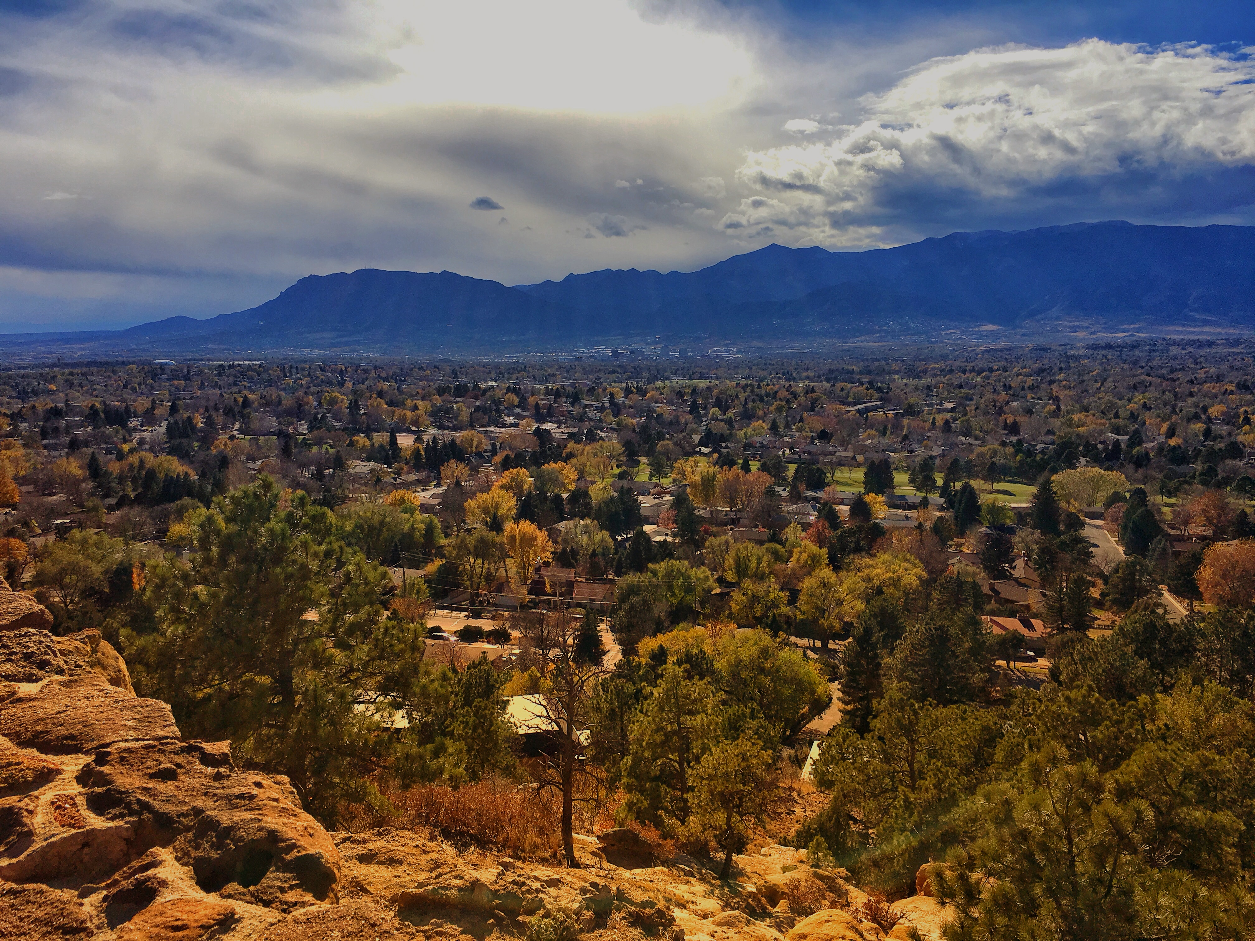
The day was clear and sunny and the view from Palmer’s Park was fantastic. There was still some color in the cottonwoods on the southern part of town.
We did a bit of shopping and walked around the “lakes” in Fox Run Regional Park before heading home.
Posted in Colorado | Comments Off on Close to Home

Great Sand Dunes National Park

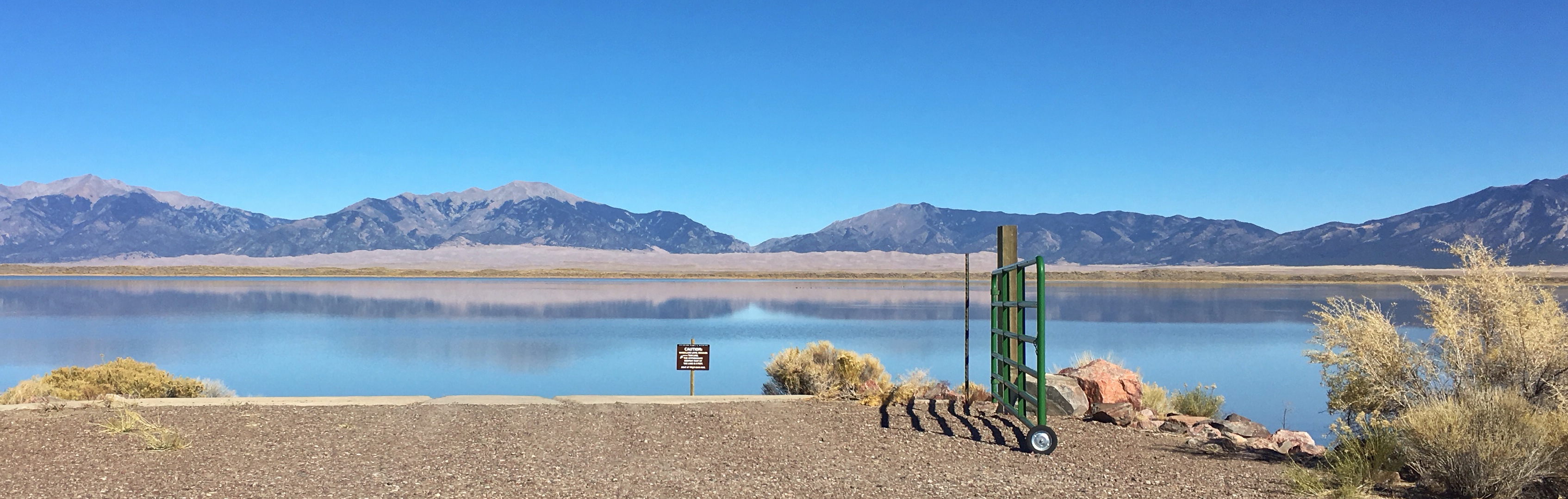
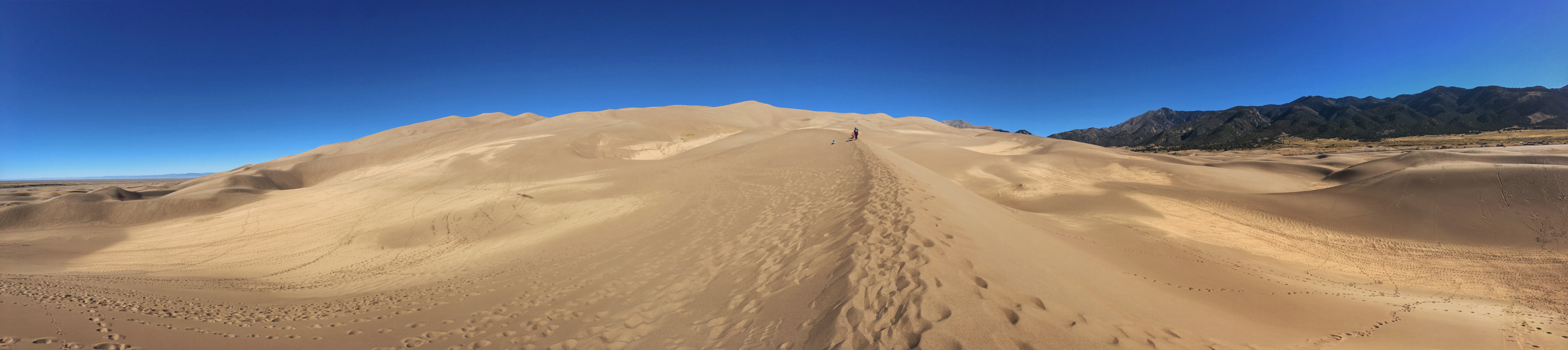
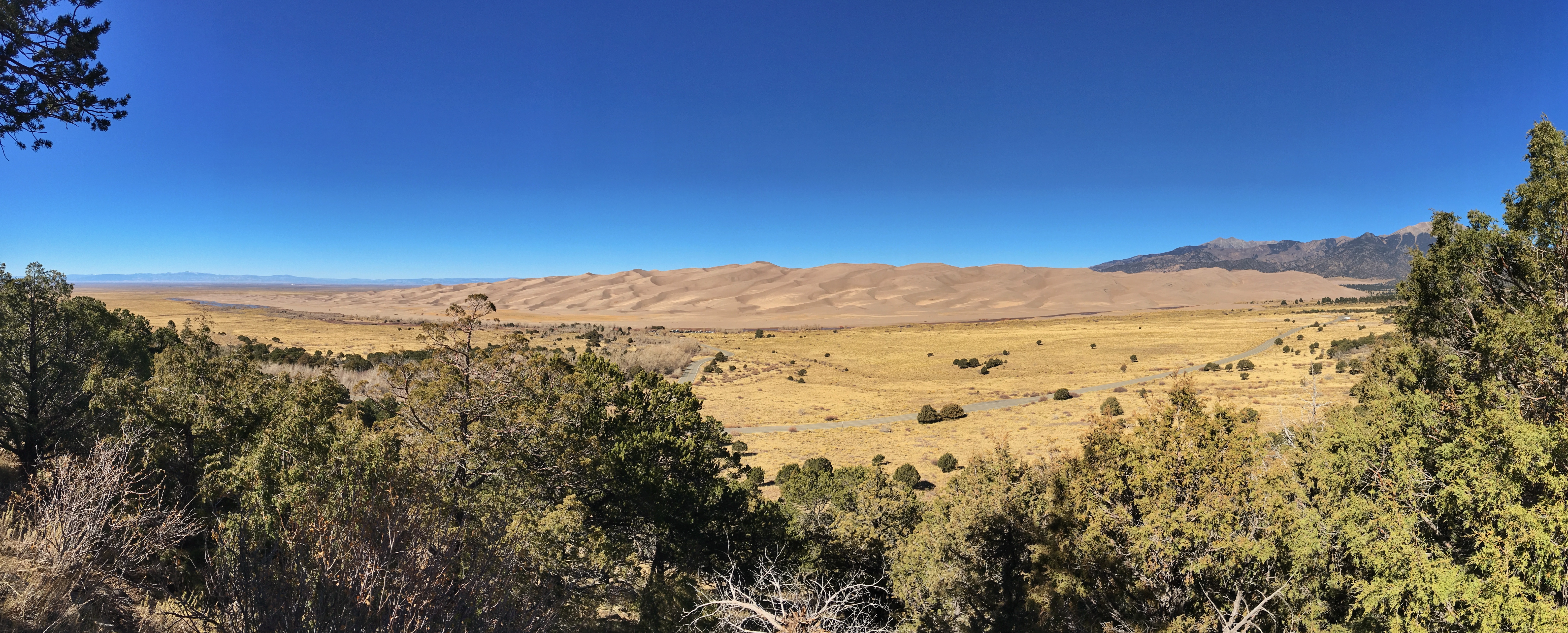
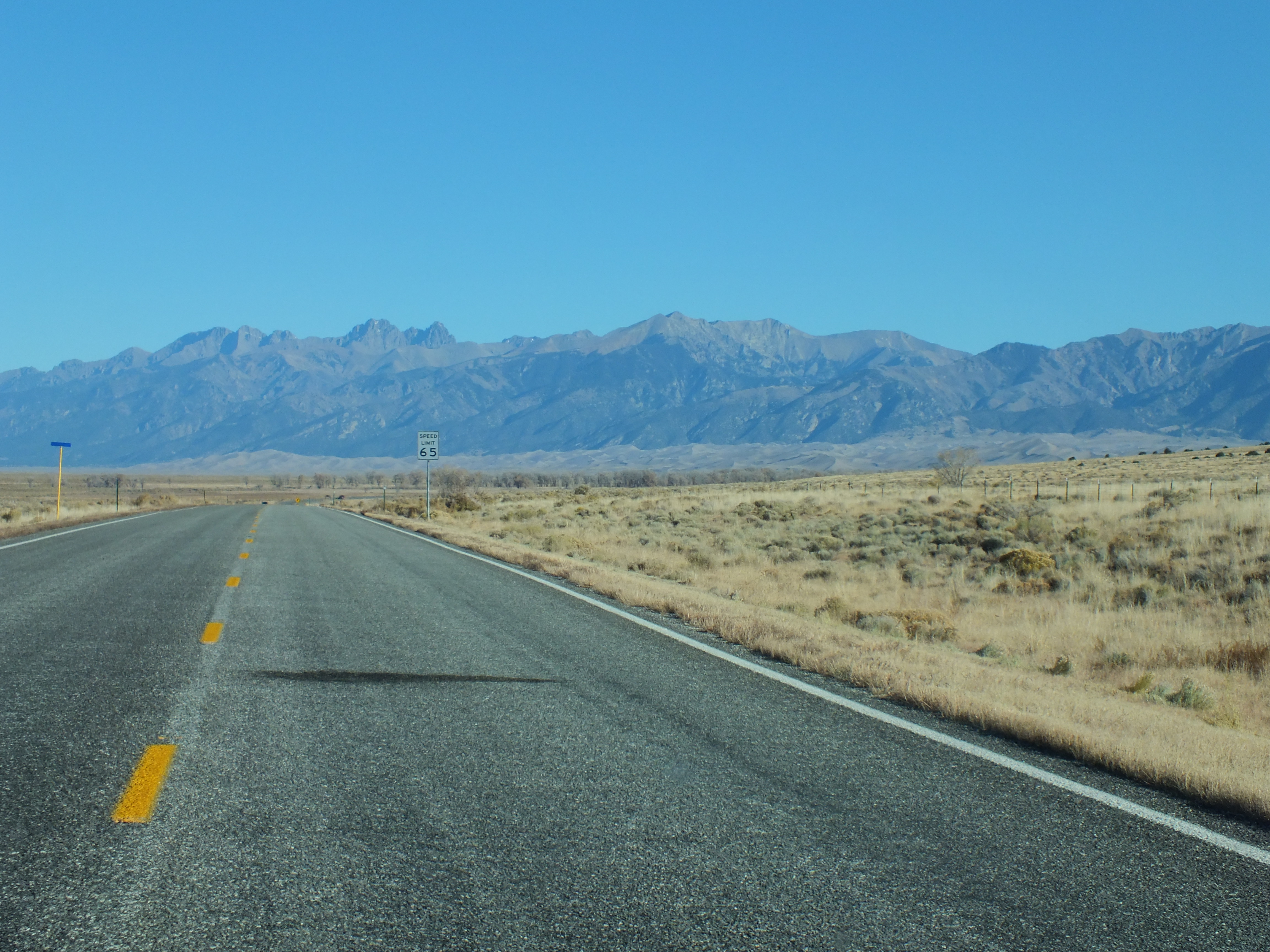
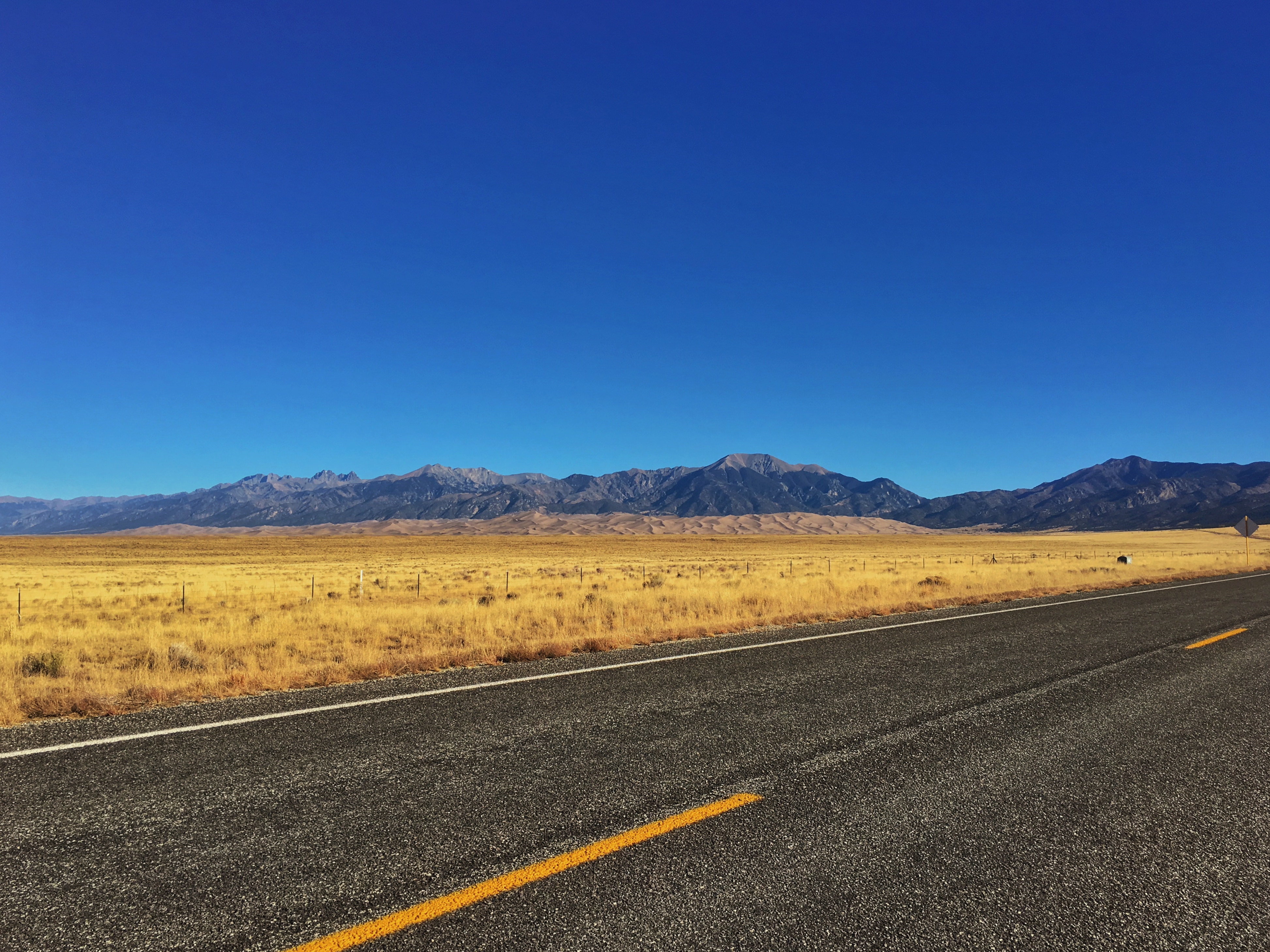
Almost everywhere we went in the San Luis Valley, we could see the huge sand dunes piled up against the Sangre de Cristo Mountains. From a distance, they were dwarfed by the mountains.

They got impressively larger as we drove north along the entrance road into Great Sand Dunes National Park, but I was distracted by a flock of Pinyon Jays and didn’t take any photos. We stopped in the visitor center, then parked in the lot nearest the dunes.

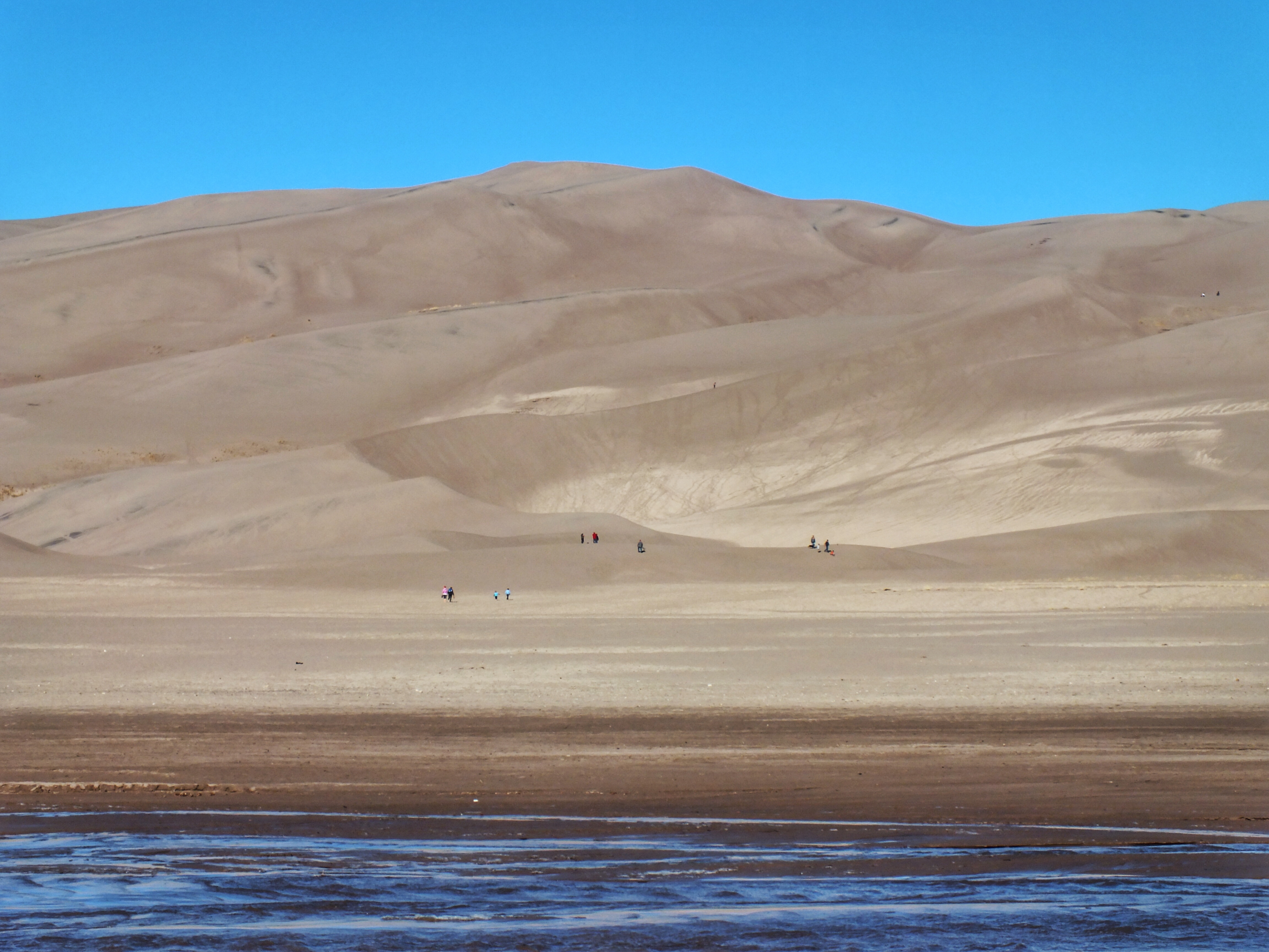
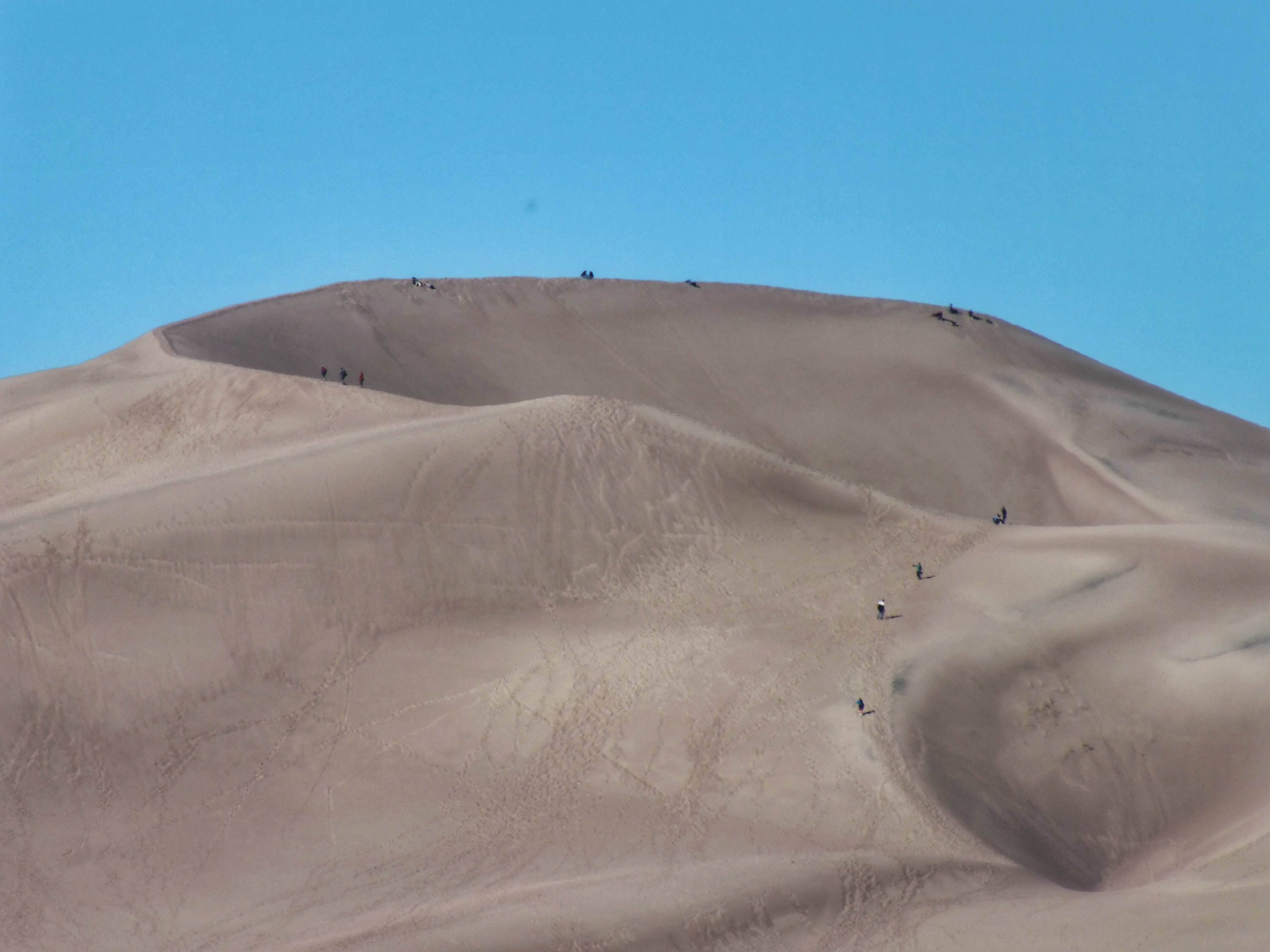
A sign informed us that High Dune, the tallest dune on the first ridge, was 699 feet high and a mile and a half away. Star Dune, the tallest in the park, is 56 feet taller, but it sits at a lower spot and so the top isn’t as high. It’s also a mile and a half farther into the dune field. Reaching either of them looked like a lot of work. People on top of the ridge looked like ants.

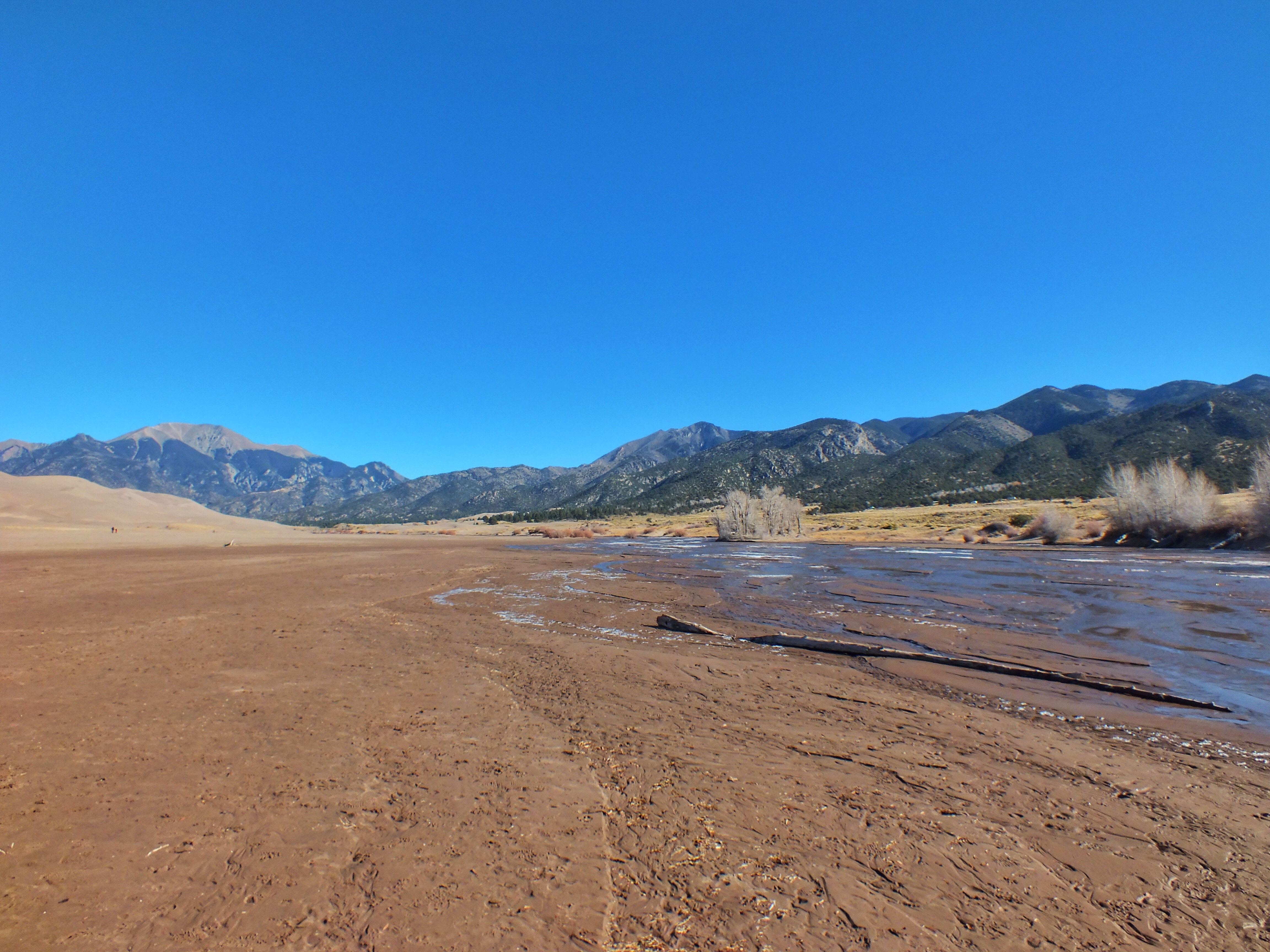
Medano Creek ran shallow and partly frozen across the flats between us and the sand. I waded across. I only intended to walk to the base of the dunes. The sand, even on the flats, was loose, which made for hard slogging.

When I got to the base of the dunes, I decided to hike a little farther to get better photos.

Then I decided to hike to the top of a dune about a third of the way up. Each step was a labor, with my feet sinking and slipping back constantly.

Before I reached the top of that dune I noticed that there was nowhere to go from the top except down. If I decided to go farther, it would make more sense to skirt the dune and avoid any descent. If I decided to go farther. Which, apparently, I did. I tacked across the side of the dune and reached the next slope.

I struggled up a steep section, passing a young woman who was on the way down. I told her it seemed easier in the direction she was going, and she laughed and agreed that that was the case.

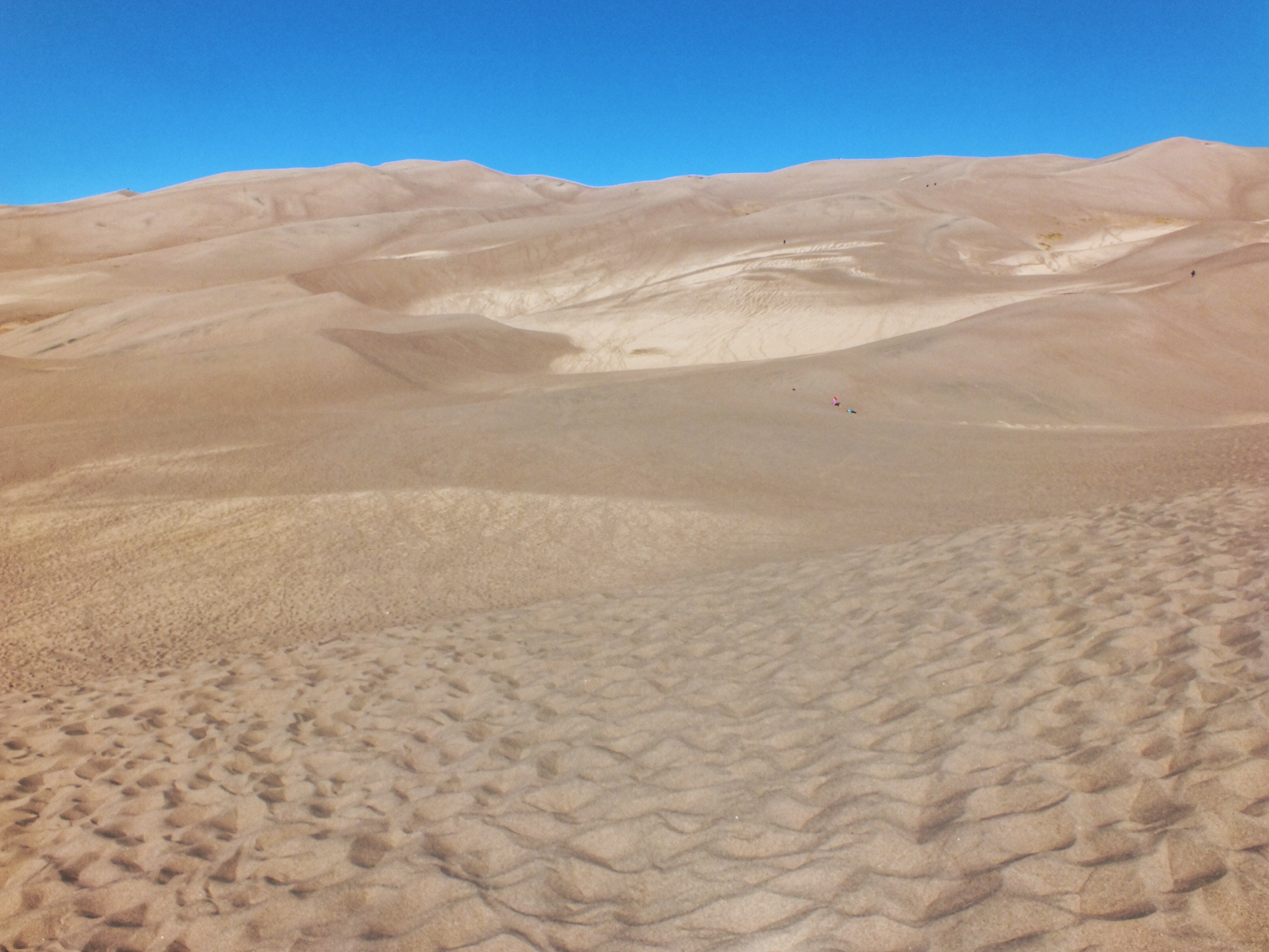
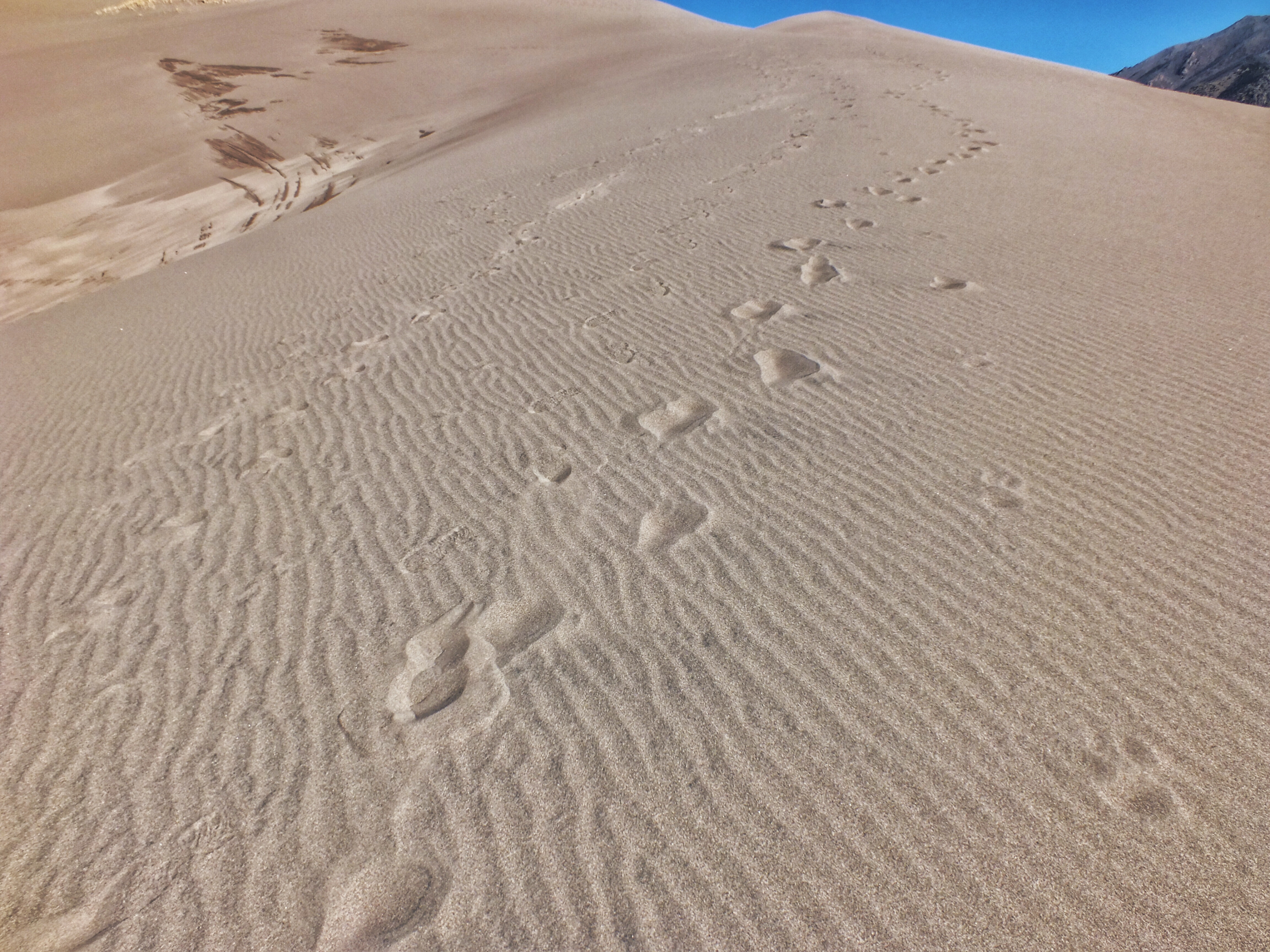
There were sections of sand that looked damp. I tried walking on them to see if I could get more purchase. I couldn’t. I angled over to one of the patches of grass to see if they gave me a better grip. Nope. Then I somehow figured it out. If I walked in the paths where everyone else walked, the sand was loose and walking was miserable. But if I got away from those paths, the surface of the sand was rippled.

Somehow I figured out that if I kept as close as I could to a 90° angle to the creases and walked flat-footed, my feet wouldn’t slip most of the time. Occasionally a step would sink in and I would lose momentum. It was like walking on crusted snow only to have a boot break through every seven steps. But most of the time, it was pretty easy.

Once I figured out how to walk, I decided to climb to a lower part of the first ridge.

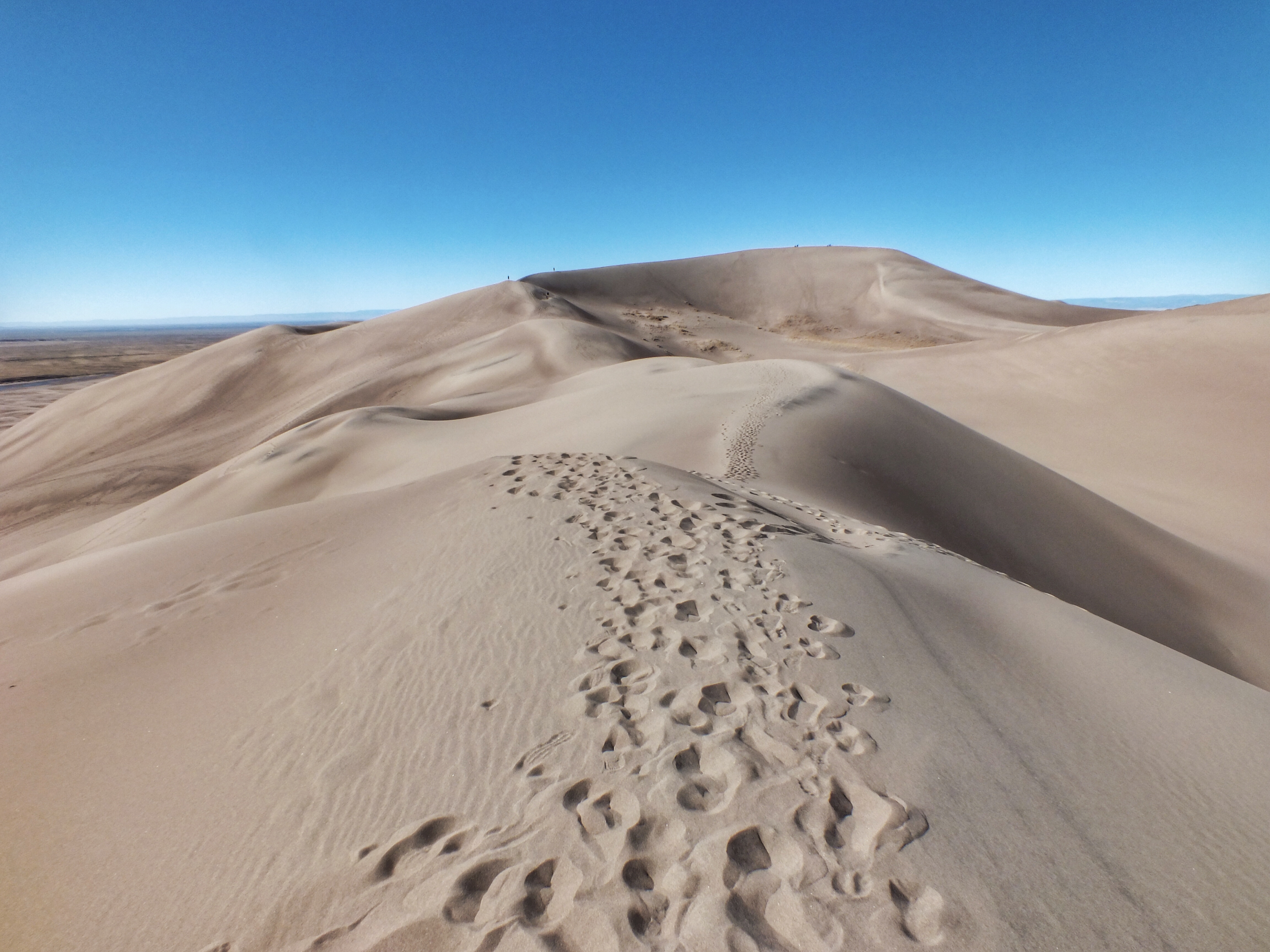
When I reached my goal, I was still about half a mile from the top of High Dune. Between me and the summit was a narrow ridge covered in footprints, but it was relatively flat, so walking wasn’t too difficult. And since I’d gone that far …

And finally, I was on top with a handful of people, all of whom were quite a bit younger than I.

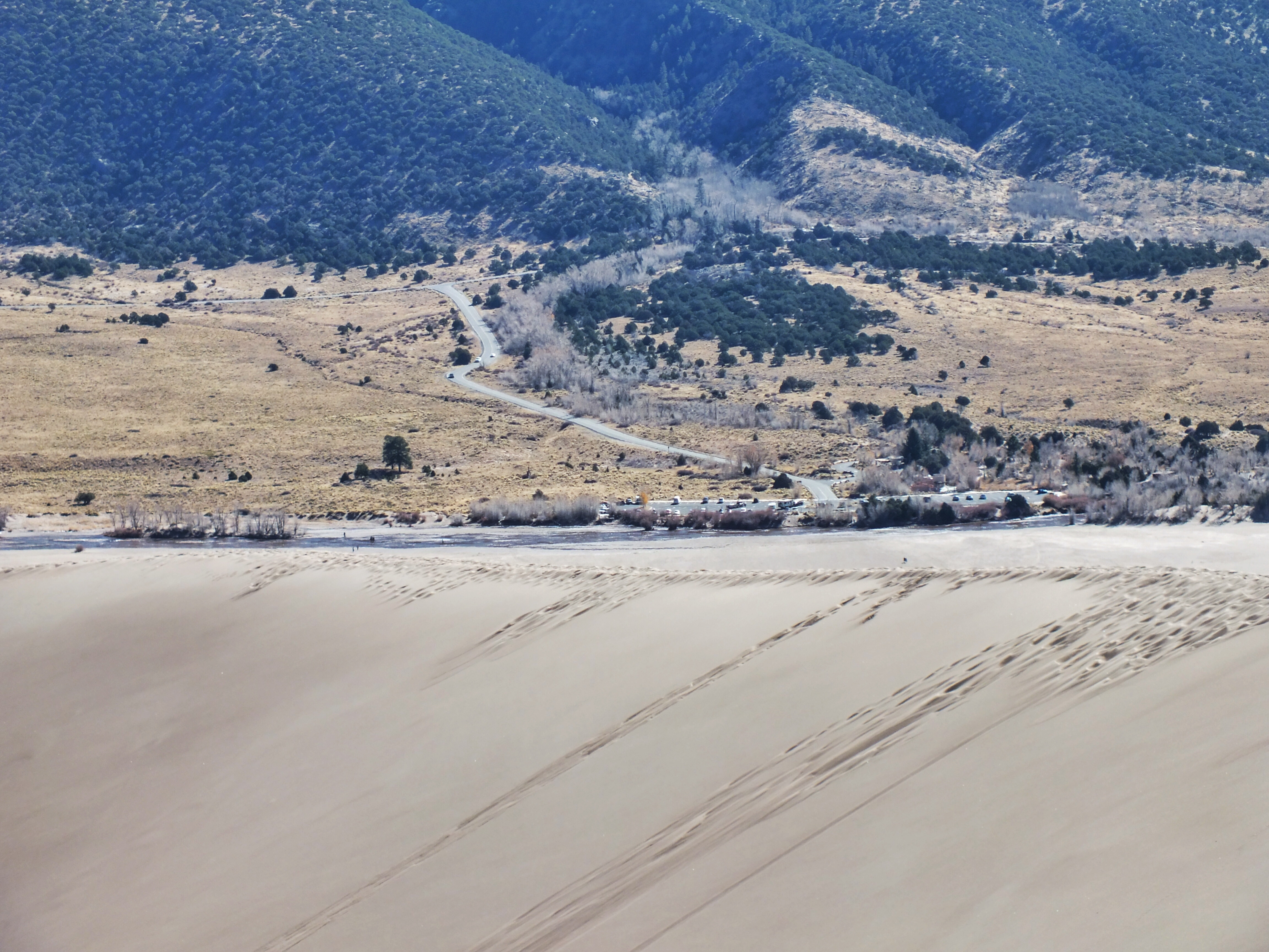
The parking lot looked tiny.

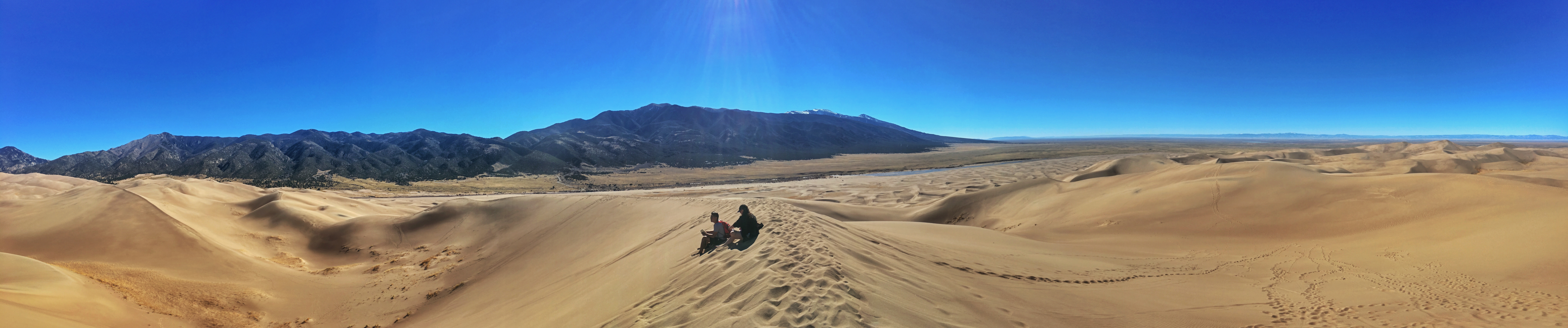
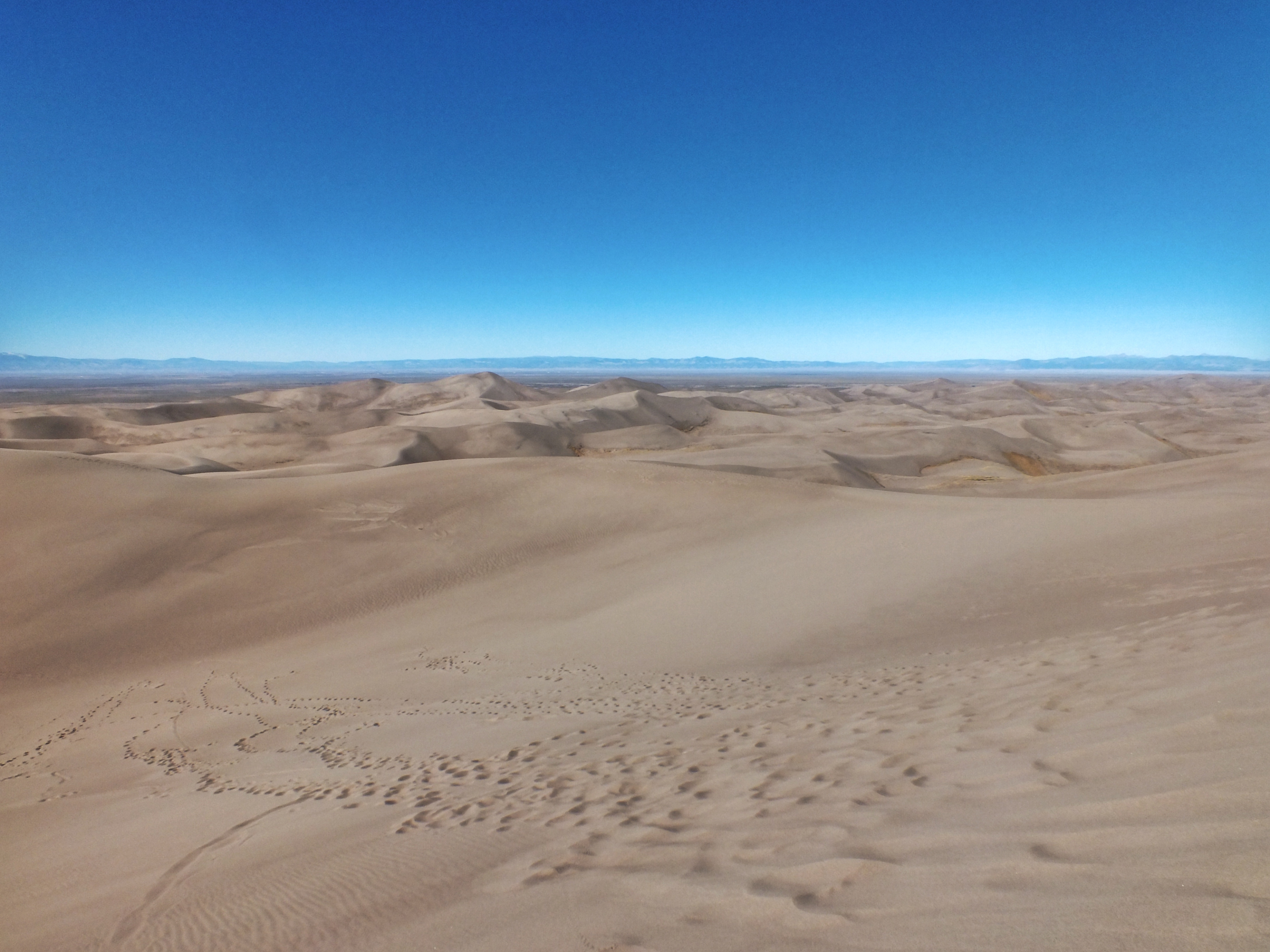
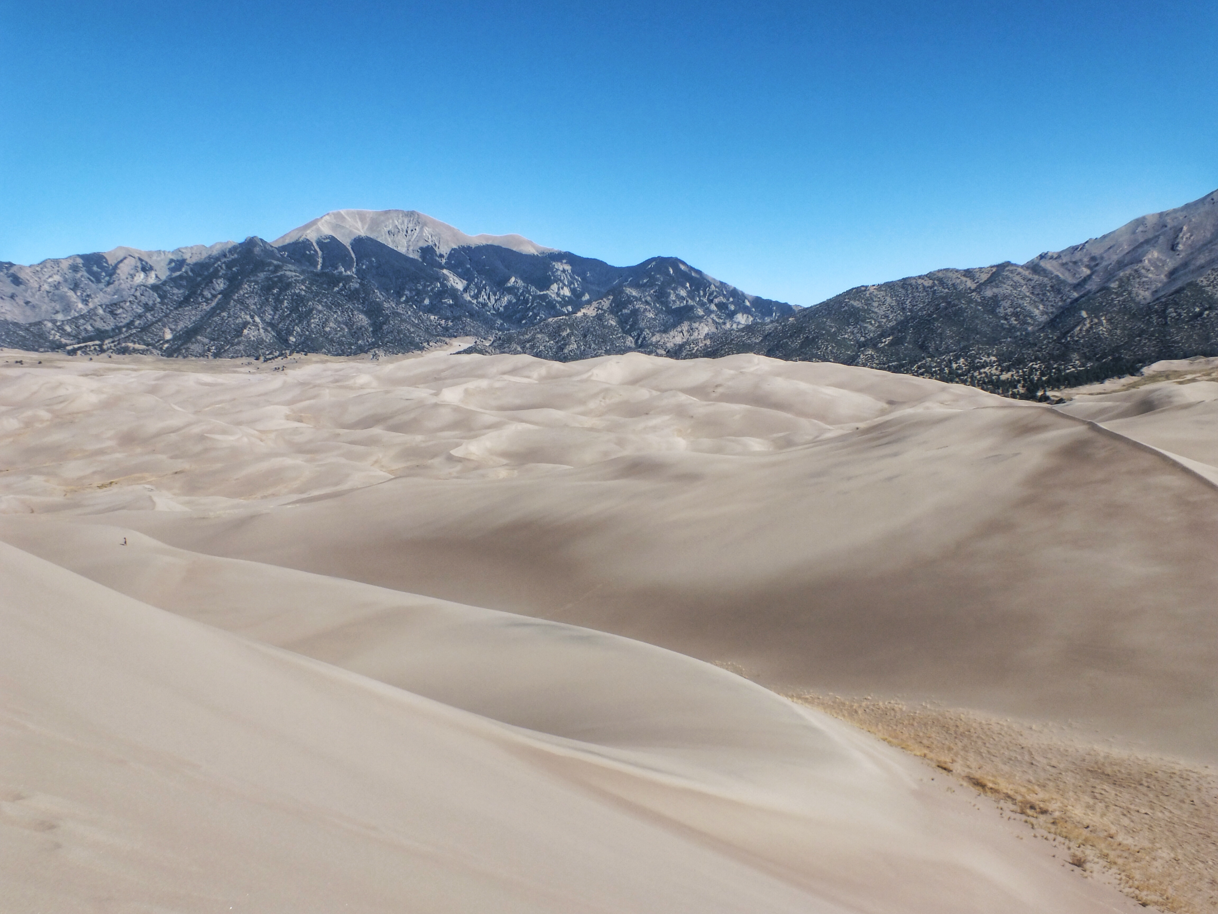
To the west, the dune field went on and on.

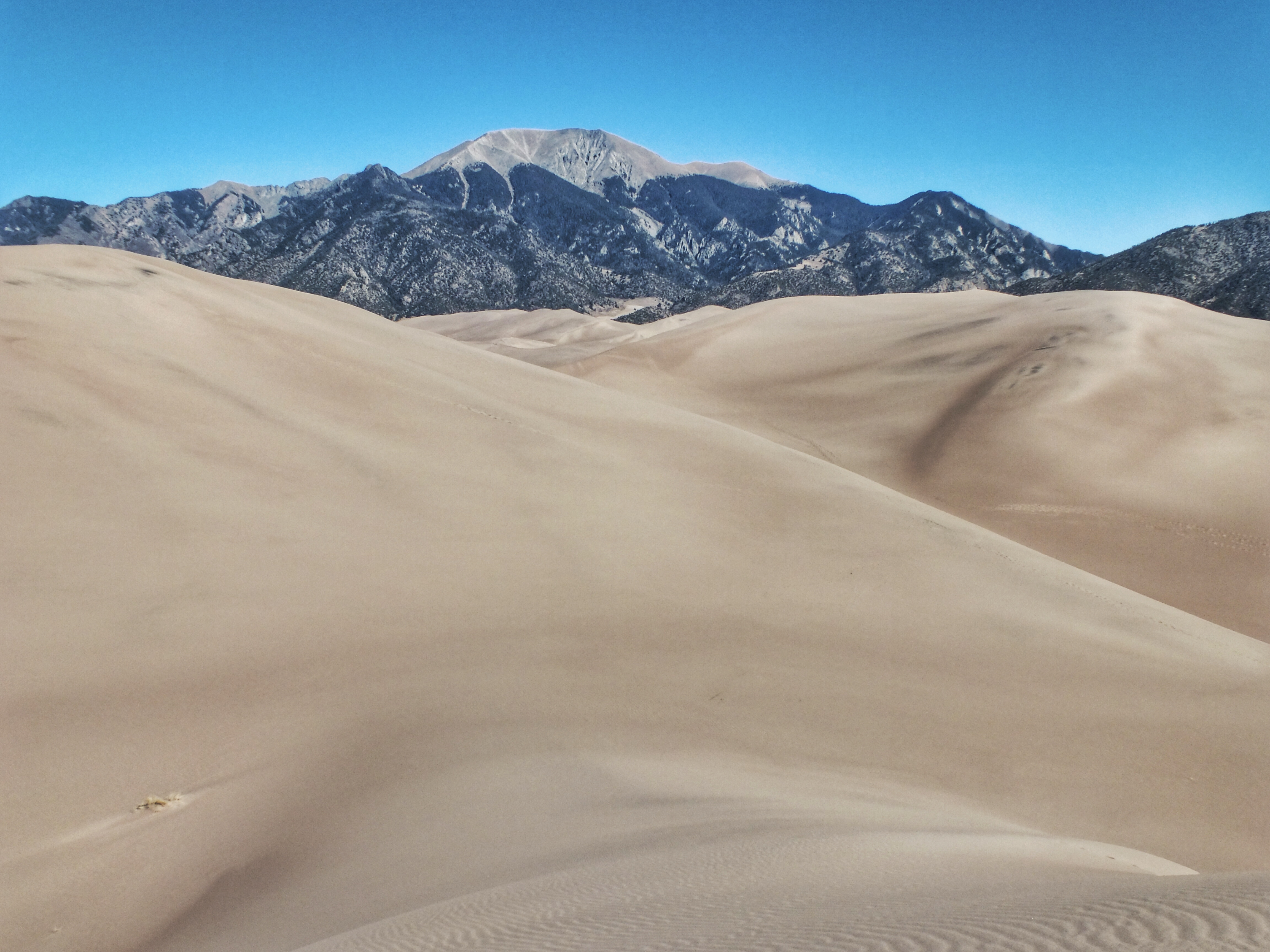
The tallest dunes are over there somewhere. That’s Mount Herard in the background. The summit is at 13,345 feet, about a mile higher than the dune crest.

The mountain in the distance is Blanca Peak, at 14,351 feet above sea level.

I only stayed on top for a couple minutes, then headed back down. My objective was to go fast and not wander into any bowls that I would have to climb back out of. Before long I came to a very steep slope. I hesitated, then started down. My feet sank a few inches into the sand, making it very easy to keep my balance on a slope I could never walk on otherwise.

A short time later, I came to another slope. This one was just as steep and a lot longer than the first. Instead of walking, I ran down it, taking long, leaping steps of ten feet or more. It kept going and going — I’m sure at least a third of the total descent. I know I’ve never covered so much ground so quickly under my own power. If I can consider gravity my own power.

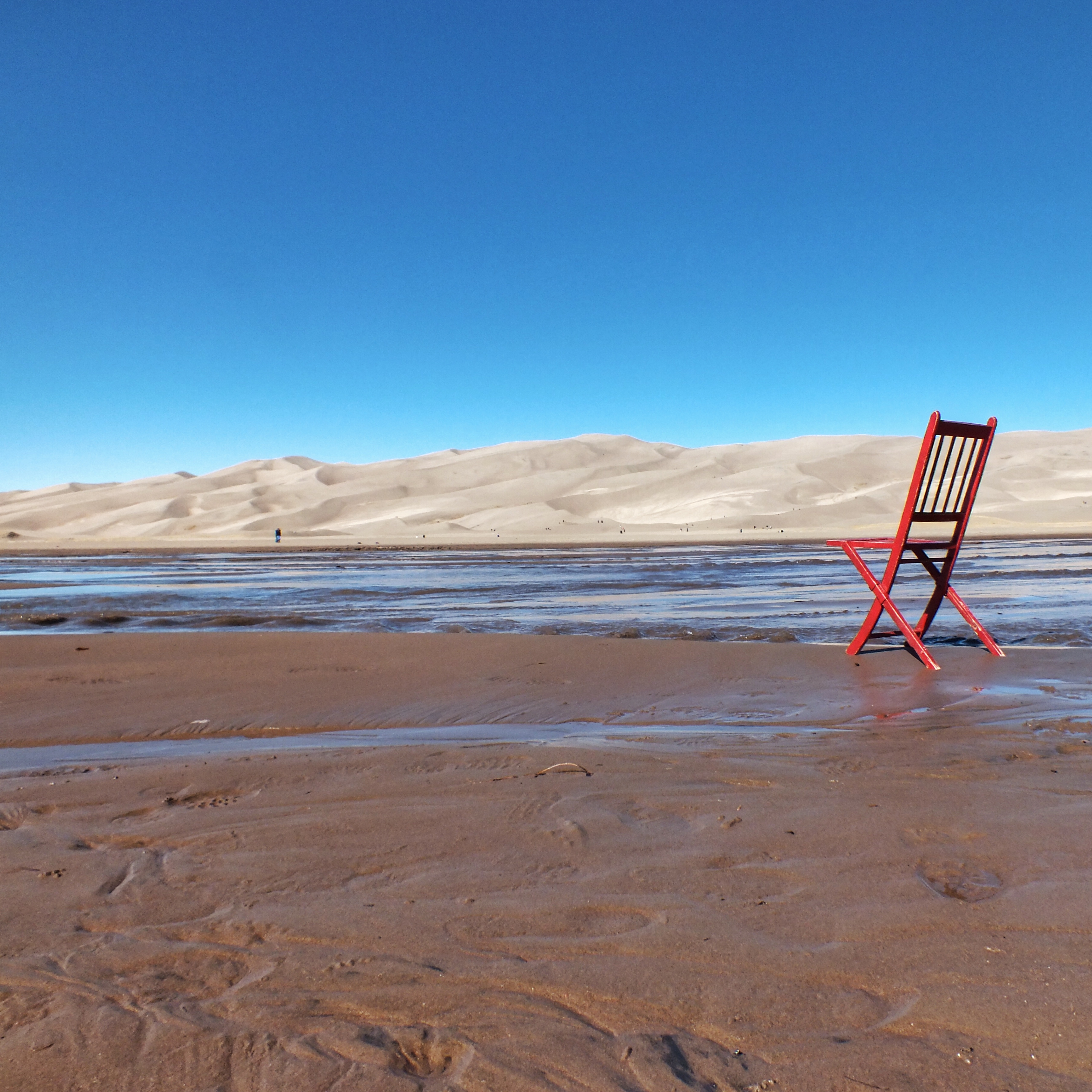
When I got back to the car, my wife asked if I’d made it to the top. I said I had, and that I could prove it. I pulled out a water bottle filled part way with some sand I’d collected at the very top. She said that didn’t prove anything. Skeptic. I took a quick red chair photo and a photo of where I’d just been.

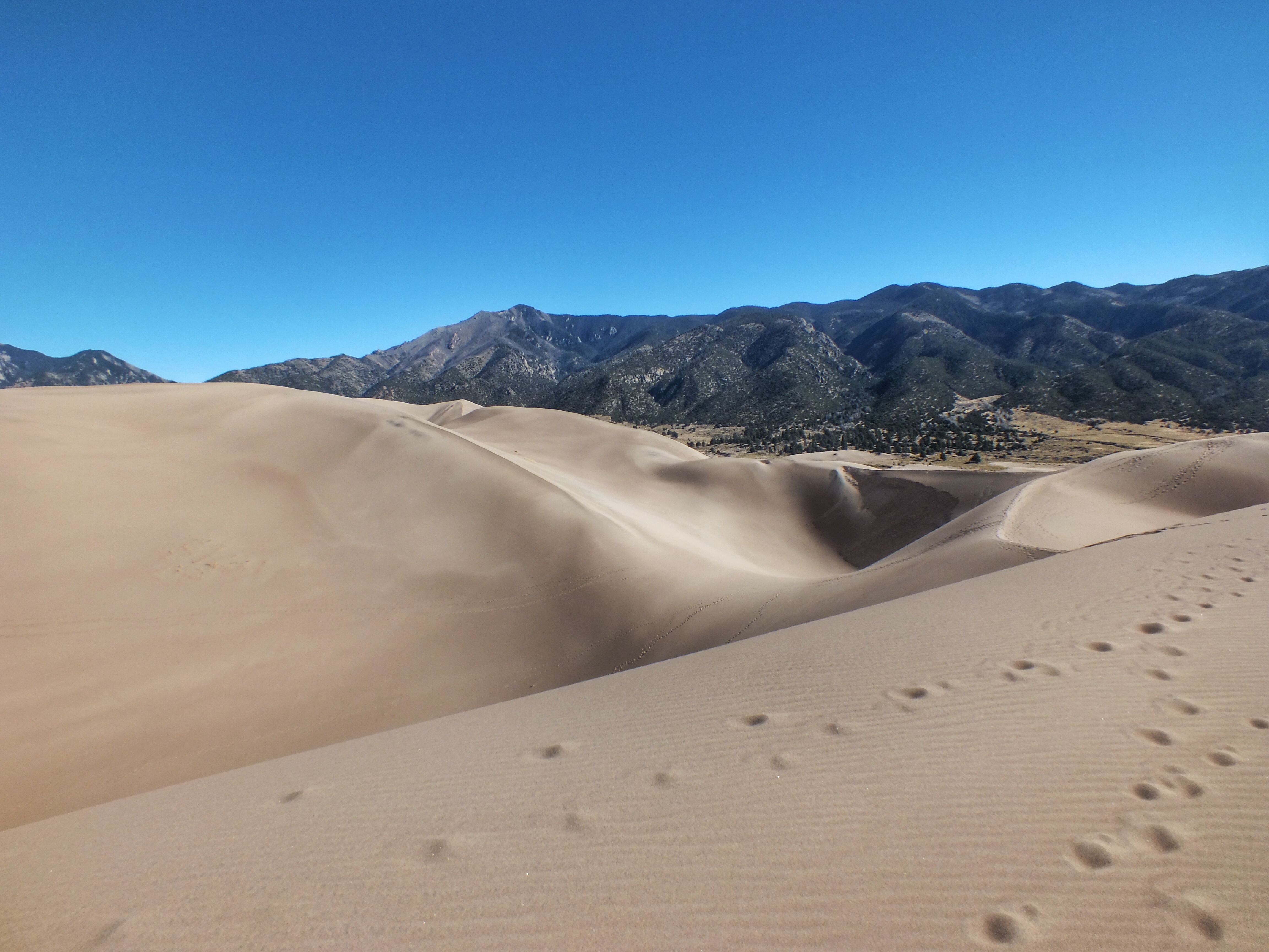
The dune in the middle of the photo, below the summit, is the one I walked down. The one I ran down is just out of the photo.

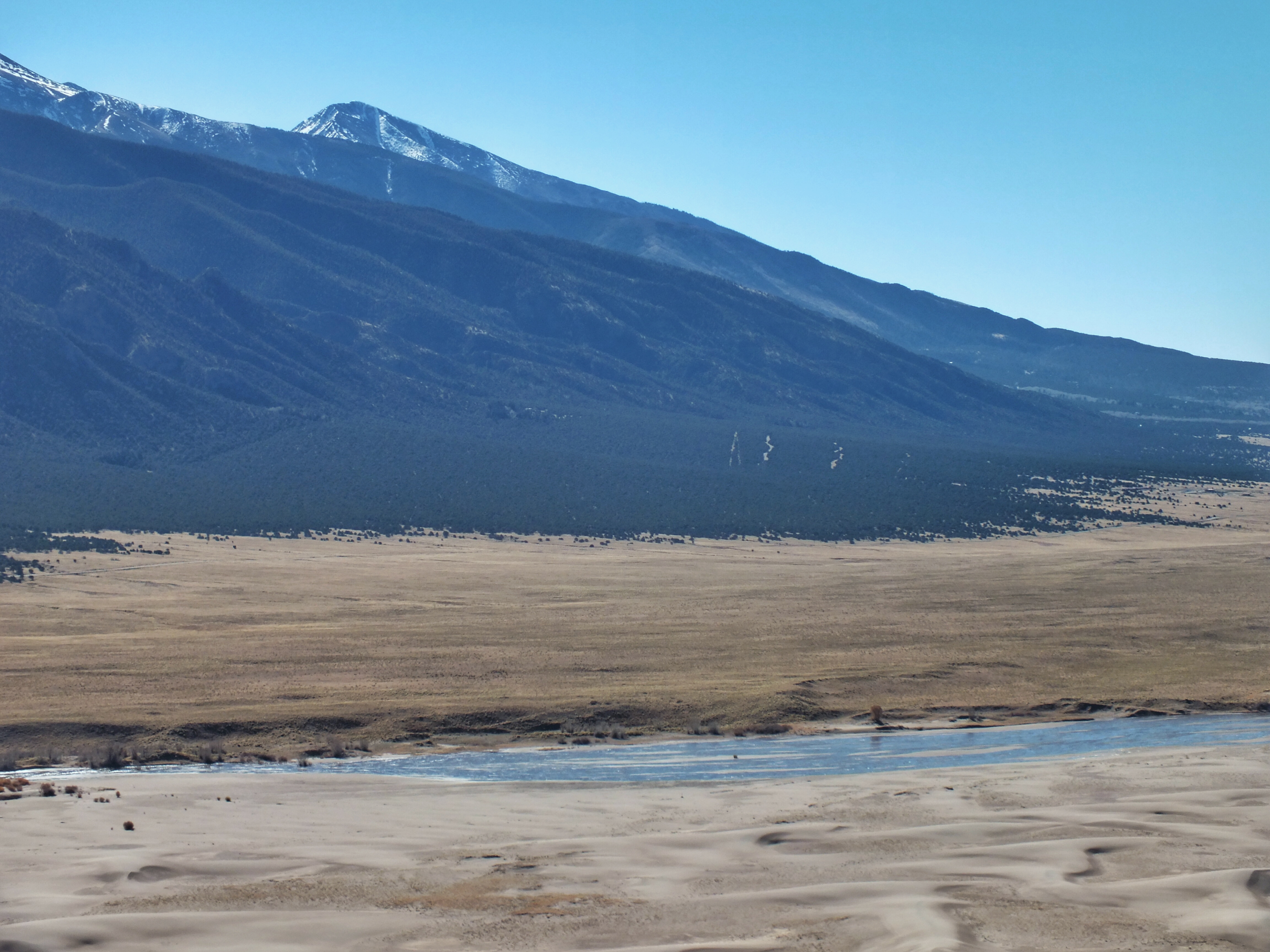
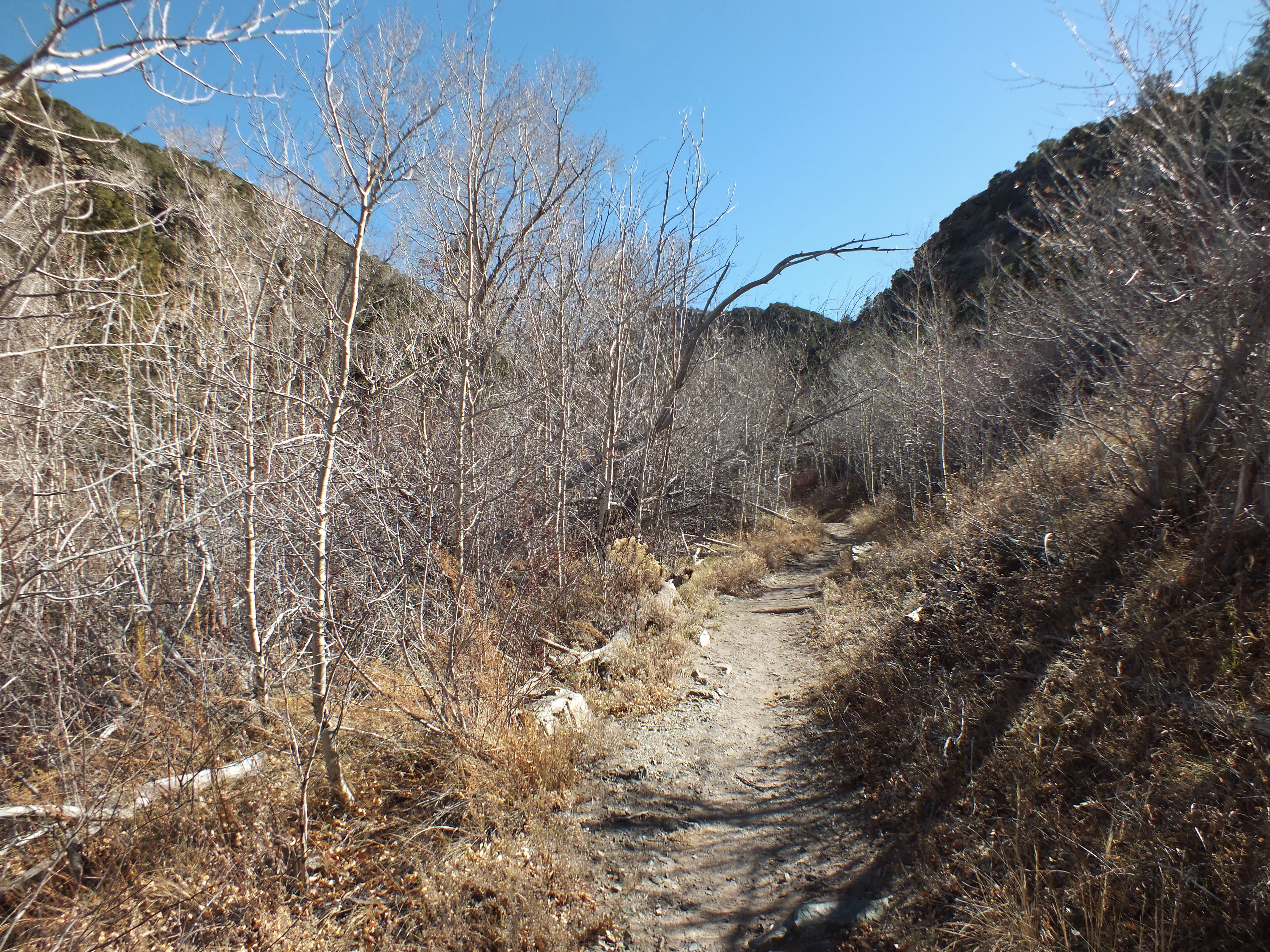
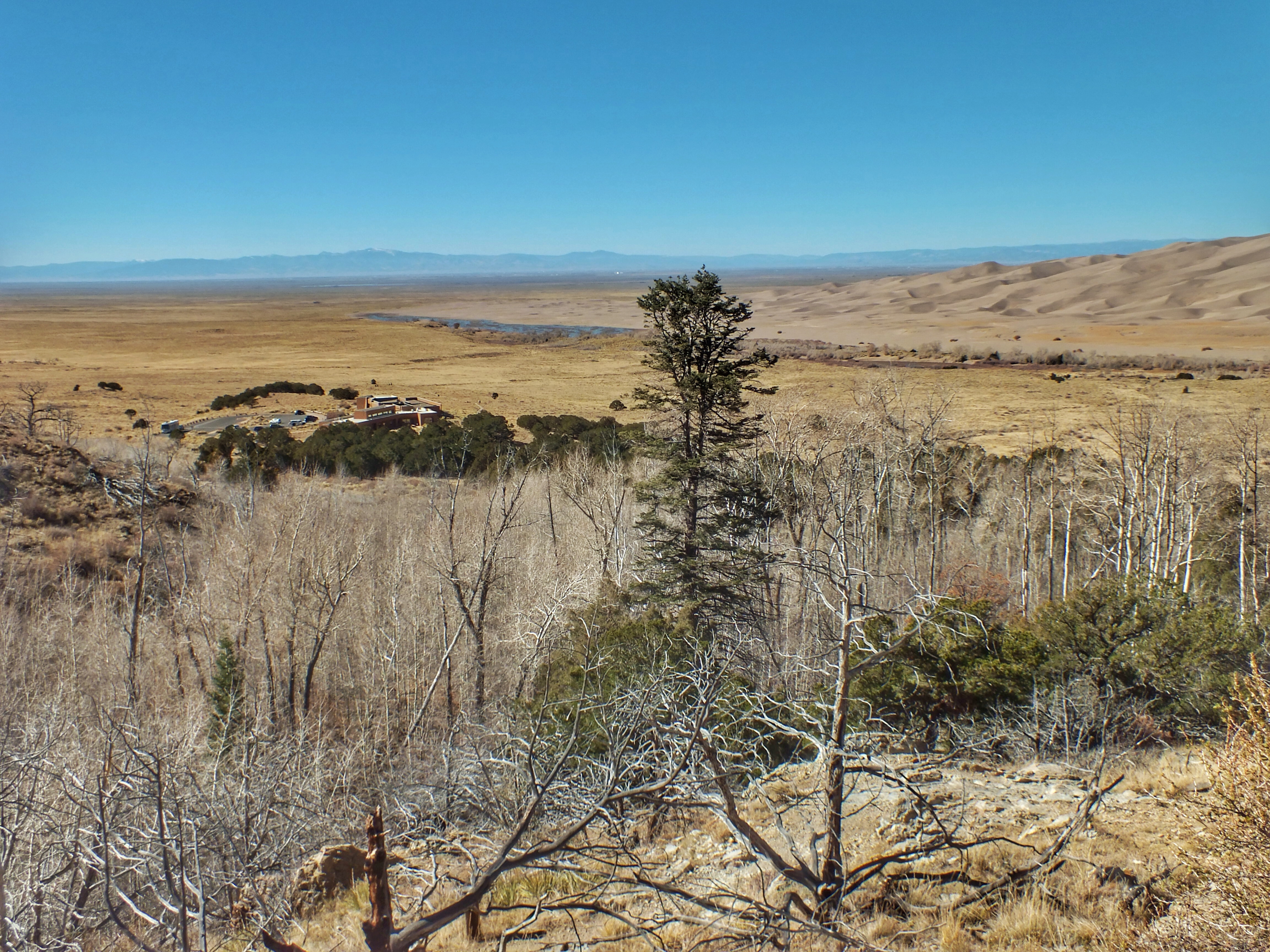
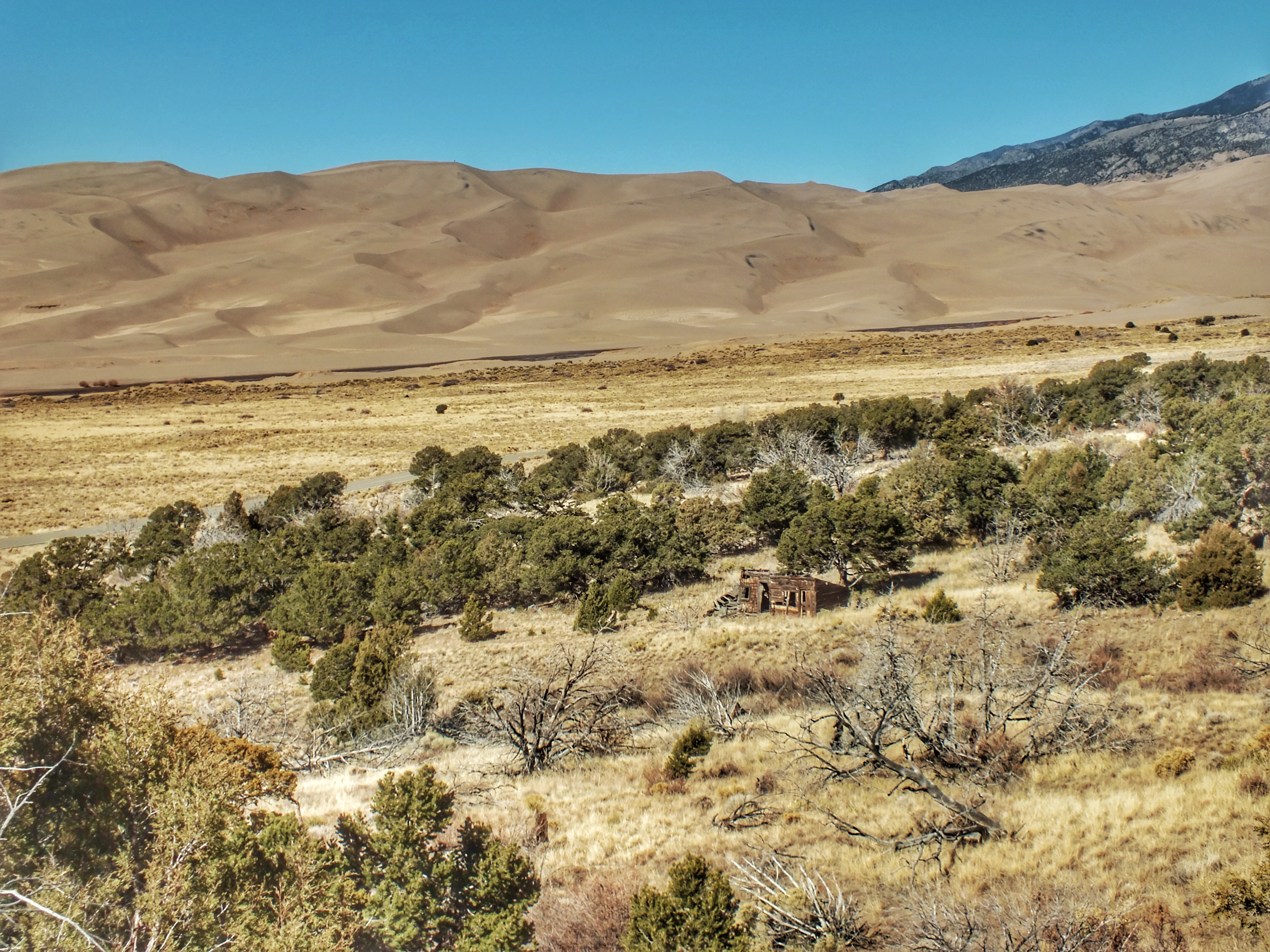
We took a two-mile hike in the woods at the base of the mountains. For much of the way, we could see the dunes across the valley.

The visitor center is in the middle distance. The San Juan Mountains can be seen in the distance across the San Luis Valley.

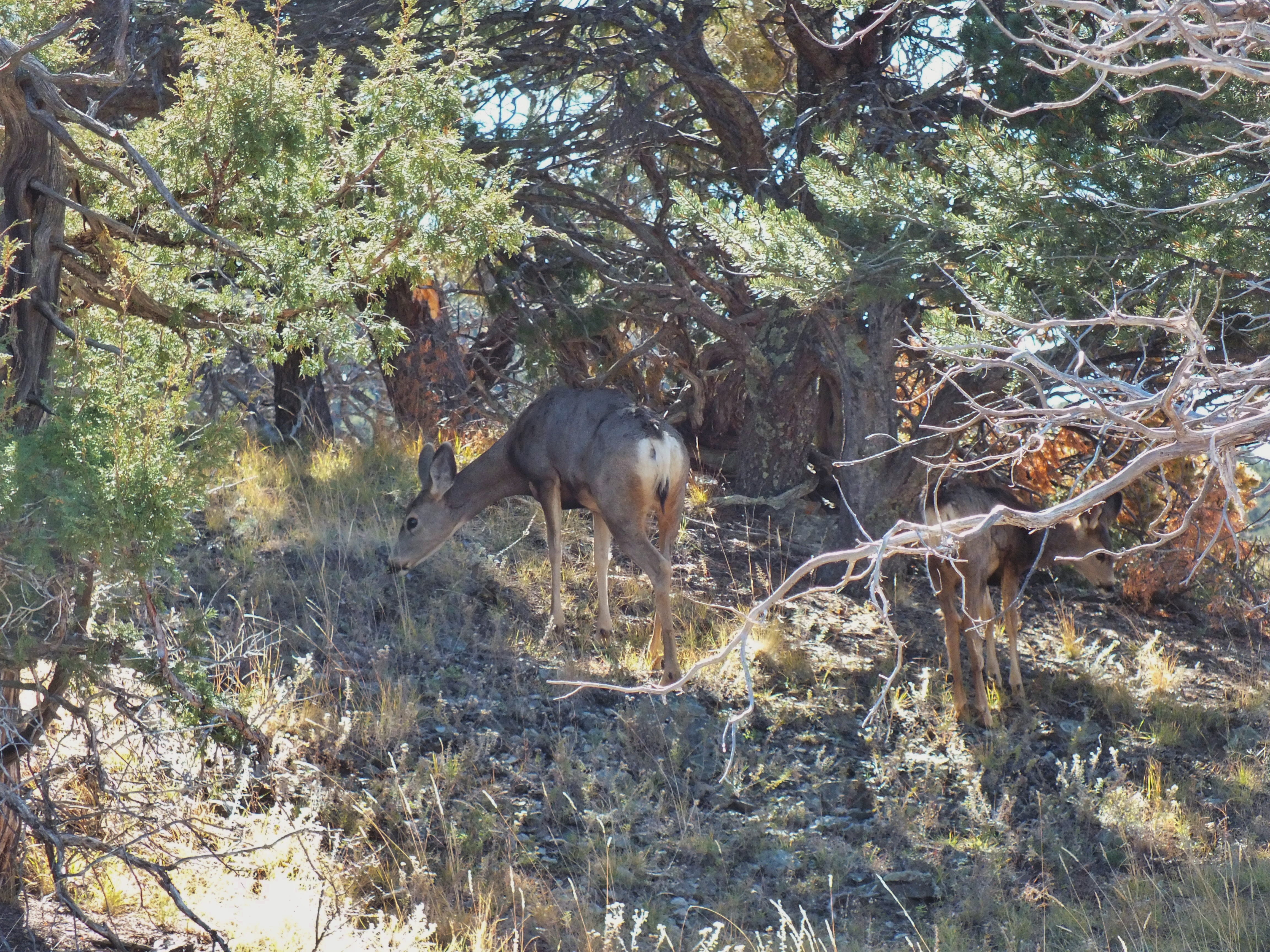
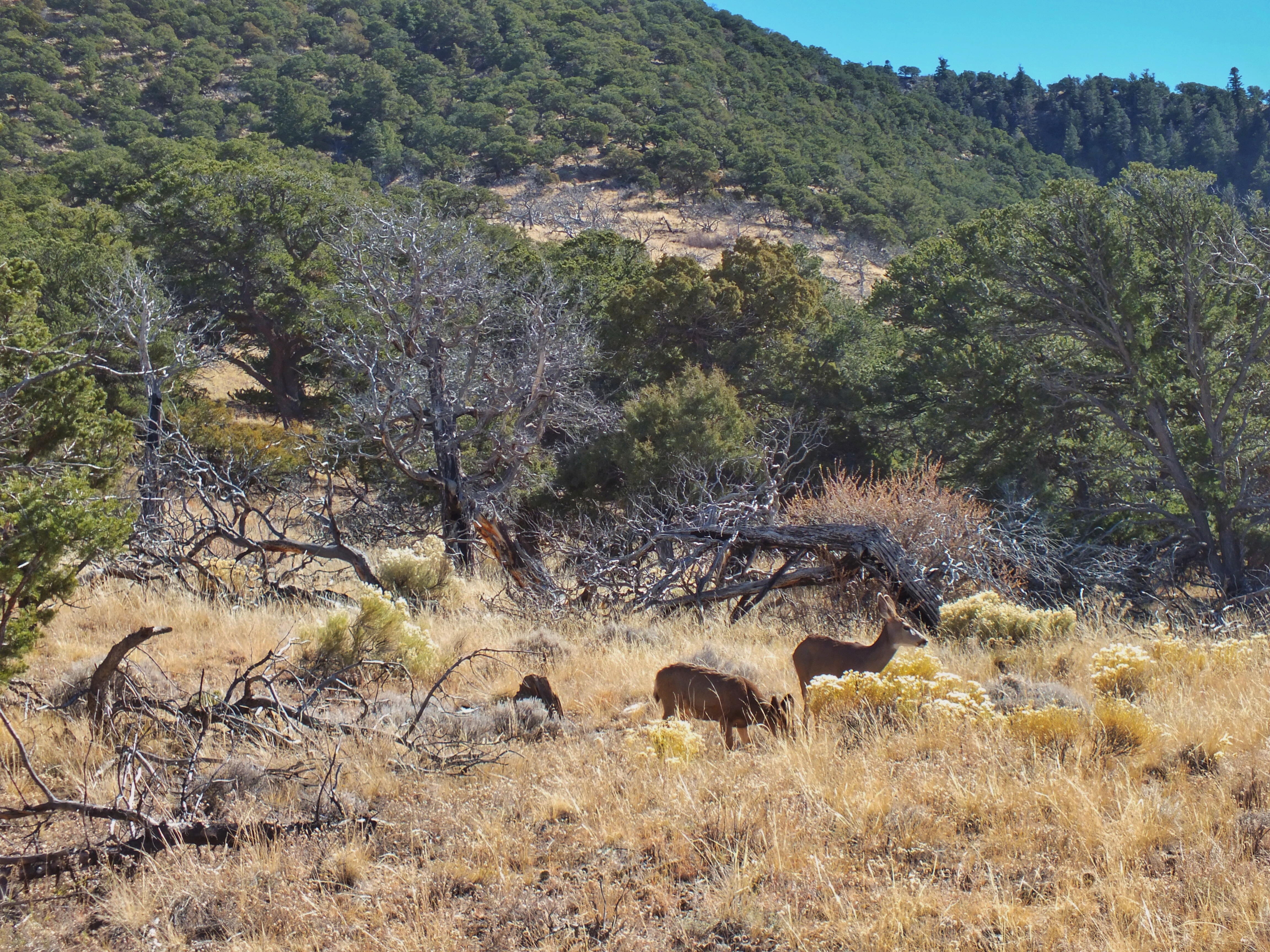
Along the trail, we happened upon a small, tame flock of Mule Deer.

And that was that. We bought drinks at the visitor center, then headed west, then north up the San Luis Valley toward home.

Posted in Colorado | Comments Off on Great Sand Dunes National Park

Bird #483 — Pinyon Jay

gymnorhinus (from gymno, naked, bare, and rhinos, nose) cyanocephalus (from cyaneus, dark blue, and cephala, head)

Sunday, October 29, 2017

Great Sand Dunes National Park, Colorado

We were driving into the park with the Sangre de Cristo mountains on our right and the arid flats of the San Luis Valley on our left. The dune field was just a few miles in front of us. Shortly after we passed the park entrance sign, the road climbed into the edge of the pinyon and juniper zone. I spotted a couple medium-sized birds flying into the scattered trees at the very edge of the zone. I stopped the car and grabbed my binoculars. I saw the birds were blue, with short tails and long bills and figured immediately that they were Pinyon Jays.

I’ve been keeping my eyes open for Pinyon Jays every chance I’ve had to bird in the west. They are notorious for being hard to find. They almost always travel in flocks and they keep moving, so their presence one day doesn’t mean they’ll be around the next. Their diet consists almost entirely of pinyon pine seeds.

I pulled the car off the road and got out for about five minutes. The flock — there must have been somewhere between 40 and 50 of them — was rolling through the trees and grass. Some would land in the pinyons, others would land on the ground. None of them stayed in one spot for more than 10 or 15 seconds. The birds at the back of the flock would fly over those that had landed and alight further along — over and over. I followed them for about 50 yards, then went back to the car. As we drove, we kept pace with the flock for maybe another 100 yards. The birds then crossed the road and disappeared uphill. One did land in a bush about 15 feet from my wife’s side of the car, giving her a great view, but it was gone before I could get my camera pointed and focused. The entire time they were in view, the flock kept up their constant, odd laugh-like calls. We saw no other sign of them during the four hours we were in that park.

Posted in Wildlife | 4 Comments

Colorado Gators Reptile Park

This is an odd place. It began back in 1977 when a family opened a tilapia fish farm. The water in the San Luis Valley is heated to 87° by geothermal springs, making it possible to raise the African perch in Colorado.

Ten years later, the owners bought 100 baby alligators to eat dead fish and fish parts. The warm water and rich diet caused the gators to grow faster than they would in the wild, and some of the original babies are still there and huge.Locals kept asking to see the gators, so in 1990, they opened the farm to the public.

It’s not a fancy place. There’s a decidedly primitive, rinky-dink feel to it all. Brilliantly, they play up the danger everywhere.

In the gift shop, there’s a photo display of the time one of the workers lost a finger to a gator. And there’s this.

The first building housed a whole bunch of snakes, lizards, turtles, frogs, etc., most of which had been turned in by people who once thought they would make good pets but found out otherwise. We had to keep stepping over “tortoise fences,” boards that stood all over the place to keep tortoises from wandering outside.

A guy came over to us, reached into a bin and pulled out a three-foot gator named Ali. He explained to us that a gator that size couldn’t bite through a bone, but it could tear off all the skin on a finger down to the bone. Then he asked me if I wanted to hold it. About this time, a second guy walked in and told us that the first guy didn’t work there.

After he took our photo, he gave us a Certificate of Bravery, although my wife’s name shouldn’t be on it because all she touched was the tail, which wasn’t really all that brave. The guy made Ali bite down on the certificate to make it official.

A tank of tilapia and other fish. The second guy came over and explained that they had created a new type of fish, a white tilapia. He said that the “rich people in Aspen like the white meat better, although he couldn’t tell the difference.” I wondered how he knew I wasn’t a rich person from Aspen.

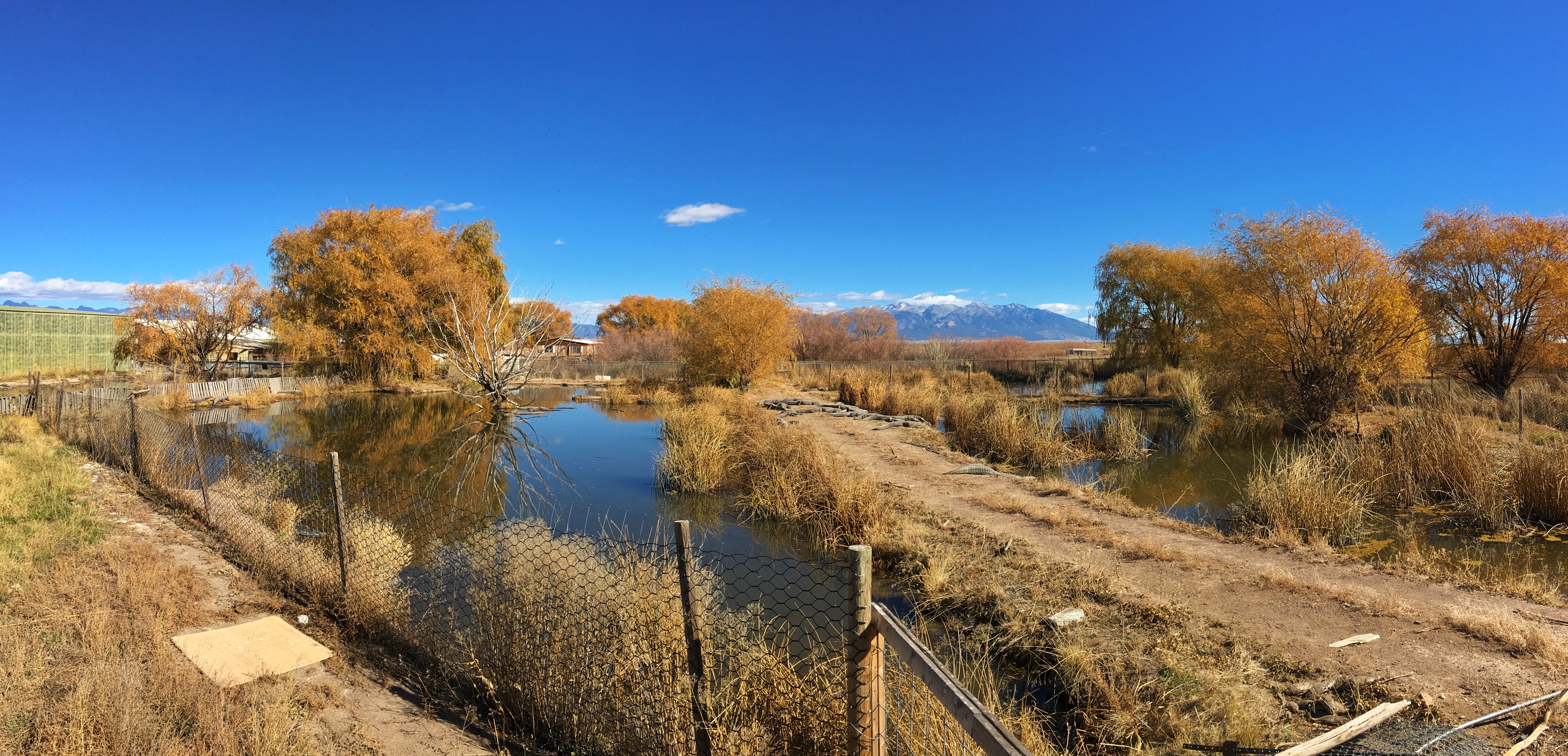
He also told us that gator wrestling class was going on outside if we wanted to watch. We headed out and found this.

None of the participants — tourists, staff, or alligator — seemed to be enjoying it all that much. The class cost $100/person. We didn’t sign up. Or watch long.

Back inside, we found the place where the tilapia are raised. A series of large tubs contained fish of increasing size. At one point, I overheard one of the staff explaining the operation to another visitor. I understood that they breed the fish, but don’t generally raise them to eating size. They sell them while they’re still small to places that keep them until they’re large enough. But I could be mistaken.

Outside the building, a trail led around several pens. This is Elvis, one of the original alligators brought to the farm as a baby. He’s larger now.

It was every bit as ramshackle outside as it was inside. There were places where it seemed like a self-respecting alligator could have gotten through a fence. But perhaps they know when they have it good.

We happened upon two pens containing emus, and my wife was befriended by a turkey.

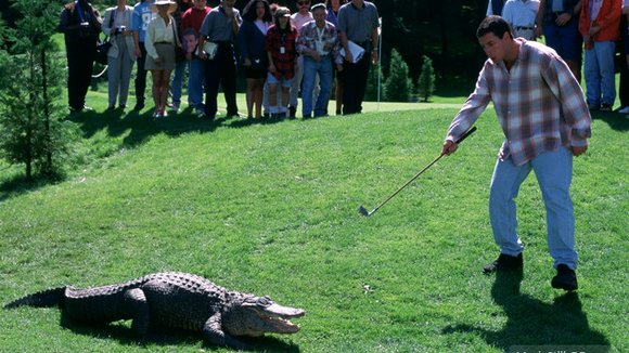
This is Morris “The Movie Star Alligator.” He was in several movies, including Happy Gilmore, Dr. Doolittle II, Interview with the Vampire, Alligators I and II. He also appeared in the TV show Coach. His career ended in 2006 when he got too large and dangerous. He’s thought to be about 50 years old and weigh about 450 pounds.

A Nile Crocodile

Albino alligators. They don’t survive to adulthood in the wild. If predators don’t get them, sunburn does.

Posted in Colorado | Comments Off on Colorado Gators Reptile Park

Fort Garland

Fort Garland, in south central Colorado was an active military post for 25 years, from 1858 to 1883. It was built to protect settlers from Indians. Nothing much happened there.

The highlights, such as they are:

  • In March, 1862, Colorado Volunteers trained at Fort Garland, then marched south to join the New Mexico Volunteers. The combined force defeated Confederate forces in the Battle of Glorieta Pass, ending the Confederate’s attempt to invade the southwest.
  • Kit Carson, famous mountain man and scout, was the commanding officer in 1866 and 1867.

The post was so boring that one of the chief activities of the soldiers was tracking down deserters.

Five of the 23 original buildings remain. A sixth building has been rebuilt. All of them house exhibits on life at the fort, the Civil War, and Kit Carson.

We had the place pretty much to ourselves the entire time we were there.

Cavalry Barracks

Outside the Officers’ Quarters when the post was active.

The Main Gate in 1874. Twice.

The Infantry Barracks, with dioramas of the history of the San Luis Valley.

The Sergeant’s Room at the end of the Infantry Barracks.

The view from in front of the Officers’ Quarters.

The fort from in front of the Officers’ Quarters. The Infantry Barracks are in the center.

The Commandant Quarters. Kit Carson lived here with his family. The Sangre de Cristo Mountains rise in the background.

Inside the Commandant Quarters. None of the furniture in the fort is original. There was a case with a few items used by Kit Carson at some point.

Posted in Colorado | Comments Off on Fort Garland