carduelis carduelis (goldfinch)
Tuesday, April 18, 2019 — 2:19 pm
Waldenbuch, Germany — Ritter Sport Museum
We were sitting in the Ritter Cafe when I spotted two small birds flit down from a bush and land on a fence along the edge of the field. They were a long way away, but I knew immediately what they were. They were the size of American Goldfinches and colored about the same as American Goldfinches are in the winter except for a bright yellow slash on the wings and a striking black, white, and red face.
When I wandered around the area after lunch, I saw them again much closer, but they never stayed in one place long enough for me to get a photo, and I never saw them again.
North American Lifer #561
Sunday, October 15, 2023 — 8:15 am
Lake County, Illinois — Kruger Road
This was one of only two lifers that I saw in Europe that I didn’t manage to get some sort of photo of. (The other is the Gray Heron.) I was surprised recently when I noticed that they are now seen frequently in Lake County, Illinois, only a handful of miles from where I used to live. If they were there when I lived there seven years ago, I didn’t know about it, but of course, I wasn’t on eBird then.
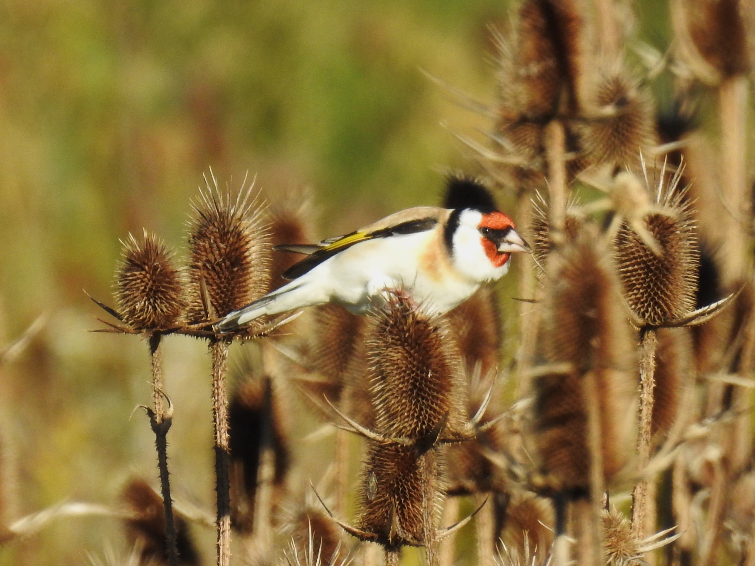
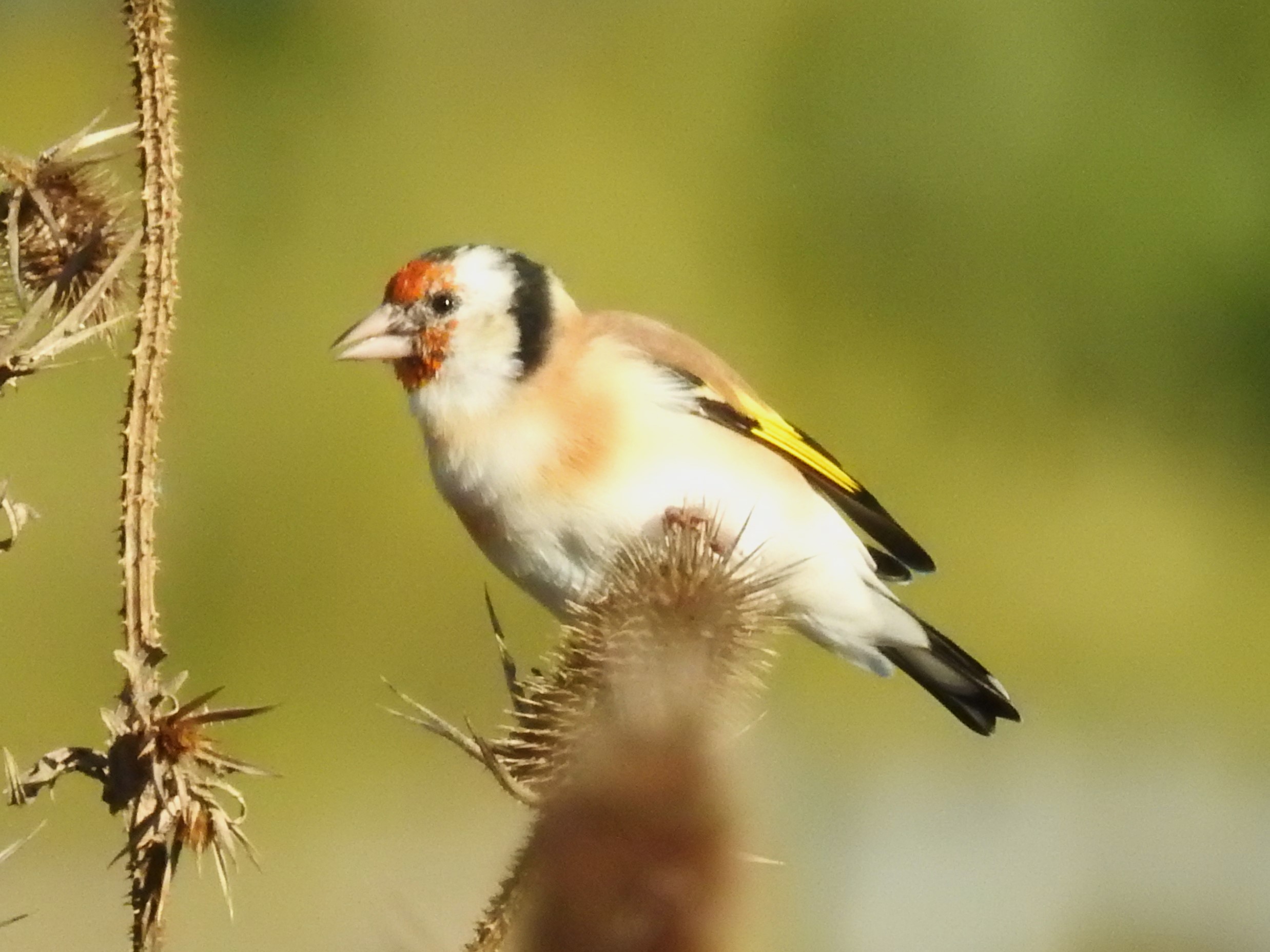
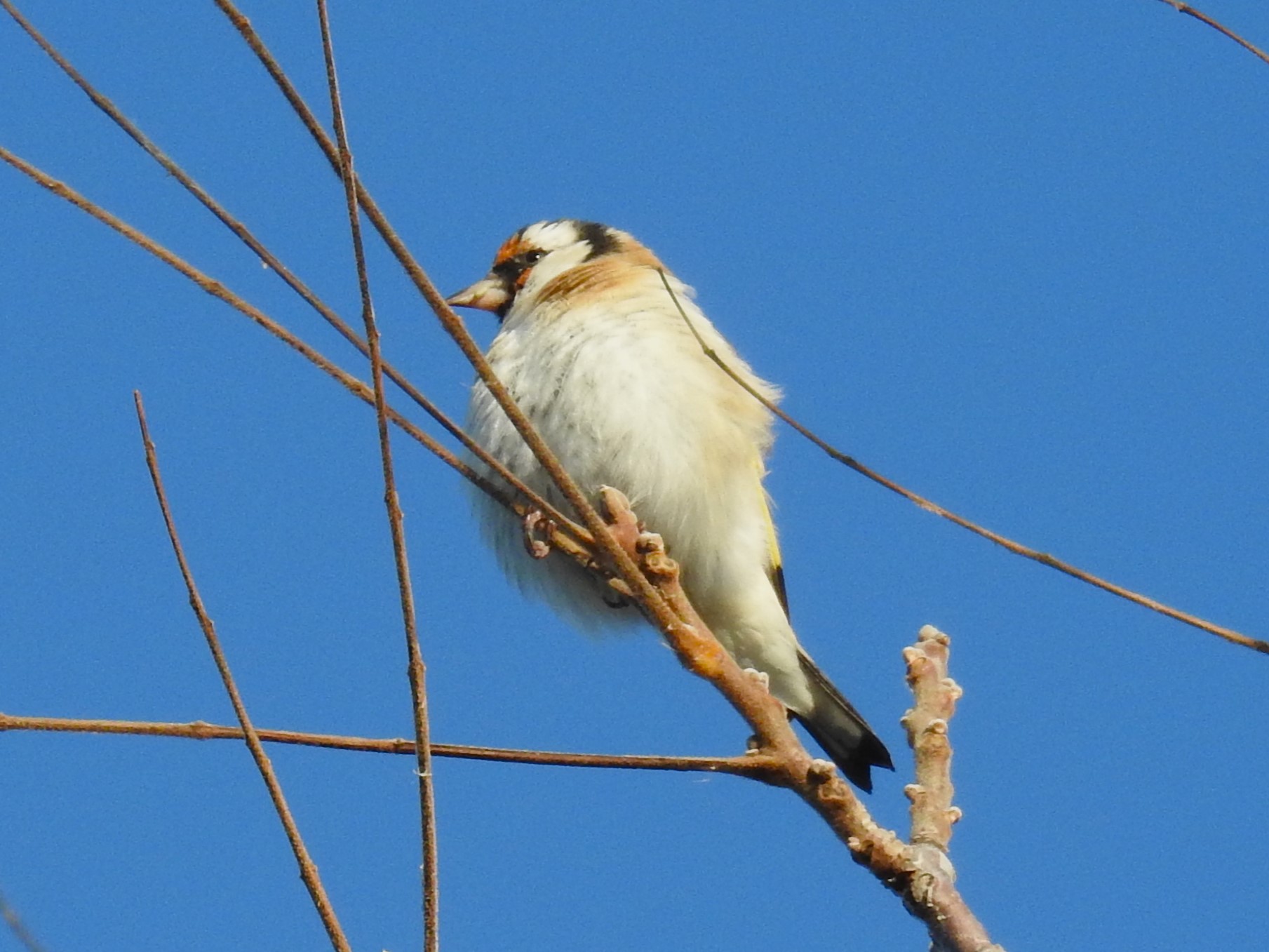
The place where they’ve been seen recently that was nearest to where I was going to be was Kruger Road. This turned out to be an almost-abandoned section of blacktop that cuts through a weedy area in Hawthorn Woods. I parked along the road and began walking. Almost immediately, I spotted American Goldfinches and Pine Siskins. Five minutes later, two European Goldfinches landed in a tree right over my head.
I stuck around for another half hour and eventually saw about 13 of them, mostly feeding in the thistles in the field. They acted just like American Goldfinches.
Later in the day I met another birder at Moraine Hills State Park. I asked him about the European Goldfinches. He said they’d been originally released in McHenry County but almost immediately moved east to the shore of Lake Michigan. They took hold there and have been slowly expanding their range. An article I found online said they thing they escaped from a pet bird supplier in Kenosha, Wisconsin.
The article said they don’t appear to be a threat to native species. They aren’t aggressive. They build nests in trees that don’t interfere with other species’ nests. They feed on non-native thistle plants and breed earlier in the year than American Goldfinches, so there shouldn’t be any competition for food.
They are considered naturalized in Illinois, which means, according to eBird, that they are “self-sustaining, breeding in the wild, persisting for many years, and not maintained through ongoing releases.” As such, they count in official eBird totals.
I know introducing species to places often turns bad, but if you’re going to do it, do it with pretty birds like European Goldfinches, and not with European Starlings.