The White Sox recently announced that the name of their ballpark will soon change to Guaranteed Rate Field. That just rolls off the tongue, doesn’t it? The fact that the logo consists of a giant arrow pointing straight down is unfortunate. I mentioned this to a friend who is a White Sox fan. I said it didn’t bode well for the team. He replied, “Bode nothing … It’s belaboring the obvious.”
If I have to find something good to say about the name it is this: A generation of baseball fans will know how to spell “guaranteed.” If there are any fans …
U.S Cellular Field wasn’t great either, although it was generally referred to as “The Cell,” which wasn’t awful.
Some other current Major League parks have names that are lacking that certain something.
- AT&T Park in San Francisco sound like a place for playing golf and sipping beverages out of china cups.
- Citizens Bank Park, where the Phillies play, just goes “clunk.”
- Globe Life Park in Arlington, the Rangers’ stadium, is vying with the White Sox for worst name of all.
- Minute Maid Park in Houston would be a great name for a track and field stadium. Baseball, not so much.
- PNC Park in Pittsburgh is bland.
There are a few corporate-name fields that aren’t bad — Target Field, Chase Field. The best has to be Cincinnati’s Great American Ball Park.

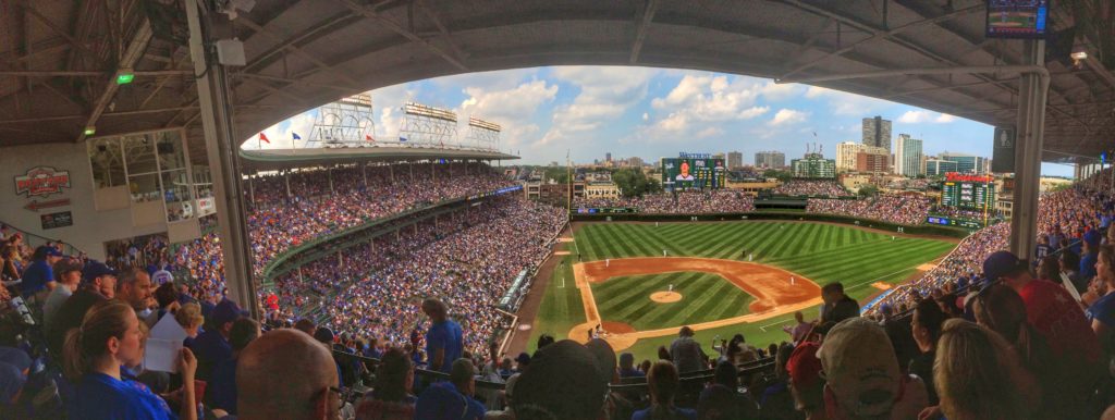
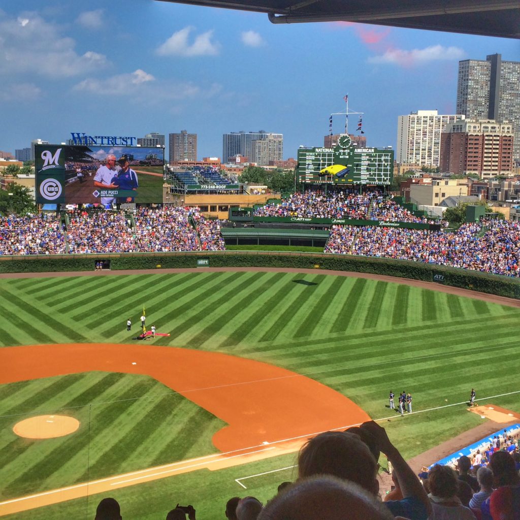
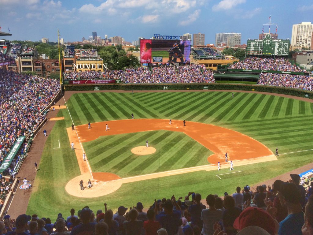
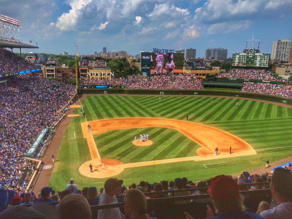
A few years ago, there was talk of the Cubs selling naming rights to Wrigley Field. The “purists” rose up in revolt, protesting the commercialization of the classic ballpark. Really? Do you actually think William Wrigley, Jr. didn’t have his product in mind when he chose to change the name from Cubs Park?
I’ve always been a bit surprised that the Wrigley company didn’t do more with the Cubs. I know they don’t own the team or park anymore. But why not put a little electronic sign somewhere in the stands that flashes advertisements for the various gum brands when certain things happen on the field.
- Spearmint — when a Cub player makes a great defensive play
- Big Red — when a Cub pitcher strikes out a batter
- Doublemint — when a Cub hits a double
- Juicy Fruit — when a Cub hits a home run
- Orbit — when a home run leaves the park
- Freedent — when a home run hits the video board (get it?)
- Extra — when a Cub steals a base
- Hubba Bubba — when … I’ve got nothing for this one.
If this ever actually happens, I want royalties.
But all this got me thinking. What other businesses should, or shouldn’t, buy naming rights to Major League parks?
- There are a few that are so obvious it surprises me that the deals haven’t been made already — Ball Park Frank’s Ballpark or Cracker Jack Stadium.
- I’ve already mentioned that Cincinnati has a good name with Great American Ballpark. But if they partnered with either of the local Cincinnati Chili franchises and ended up with Skyline Stadium or Gold Star Park, those would be pretty good too.
- A.1. (Steak Sauce) Ballpark would be good. Worcestershire Stadium not so much.
- Piggly Wiggly Park? Might be fun.
- Parkay Park is memorable. I Can’t Believe It’s Not Butter Field isn’t.
- Captain Crunch Park would be great. Fruit Loops Field would not be great.
- Smashburger Stadium seems like a no-brainer. But Five Guys Field would just confound all the younger fans and destroy any math aptitude they might be developing.
- Whether Gap Park works depends on whether it’s the home team or the visiting team that’s hitting the gaps.
- Who wouldn’t want to play in Starkist Stadium?
- Green Giant Field is a natural for the Oakland A’s.
- Goodyear Park seems like a good fit.
- Dirt Devil Stadium works on a couple of levels, as does NoDoz Park.
Marvel Comics should partner with a team. The players could wear spandex and capes. There could be comic book/baseball crossovers like “The Fantastic Four vs. The Minnesota Nine.” And maybe they could come up with a way to turn video board replays into comics.
Some teams change their park name fairly frequently. So why not sign a deal with a movie studio and change the stadium name every month to promote new movies? This could result in …
- (500) Days of Summer Field
- A Few Good Men Ballpark
- Clint Eastwood’s spaghetti western could give us The Good, the Bad and the Ugly Ballpark.
- You could have Gone with the Wind Field. But you could also end up with Failure to Launch Field or A Series of Unfortunate Events Stadium.
- I Want Someone to Eat Cheese With Stadium?
- The Sisterhood of the Traveling Pants Park?
- Some great ones — The Thin Man Goes Home Field; True Grit Stadium; Unstoppable Park; Die Hard Field.
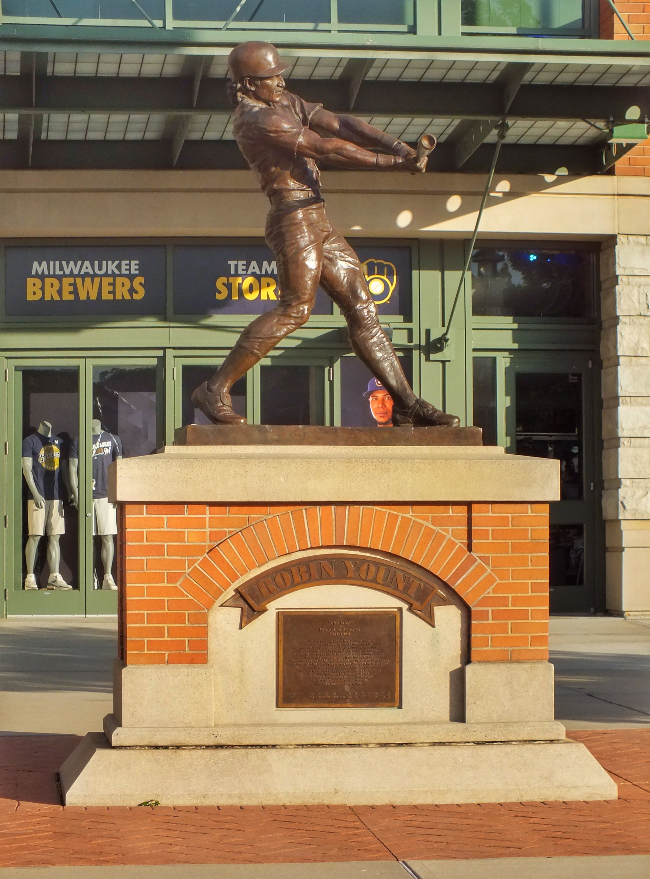
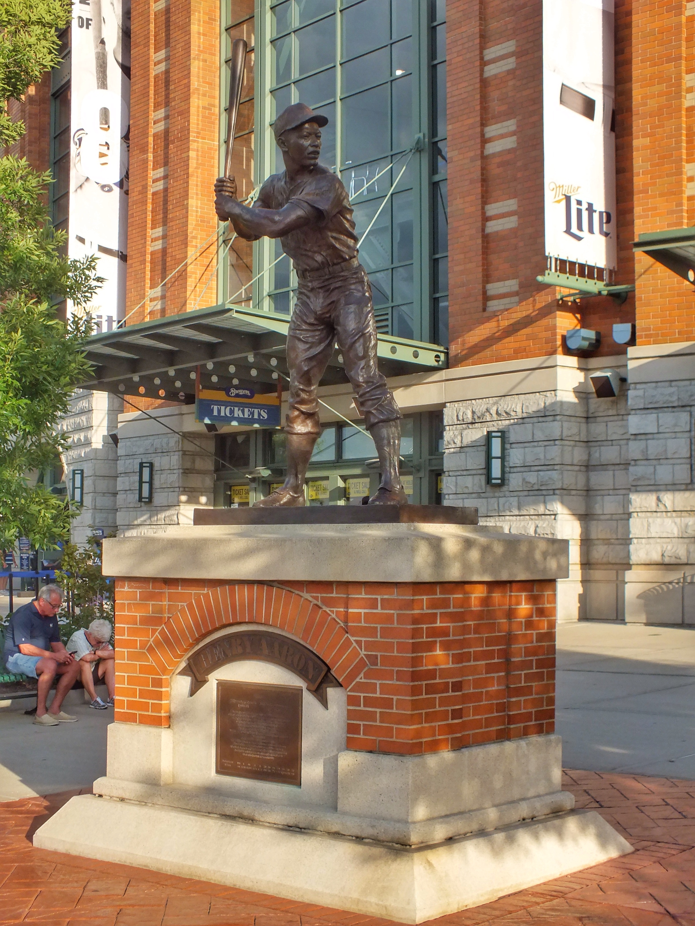
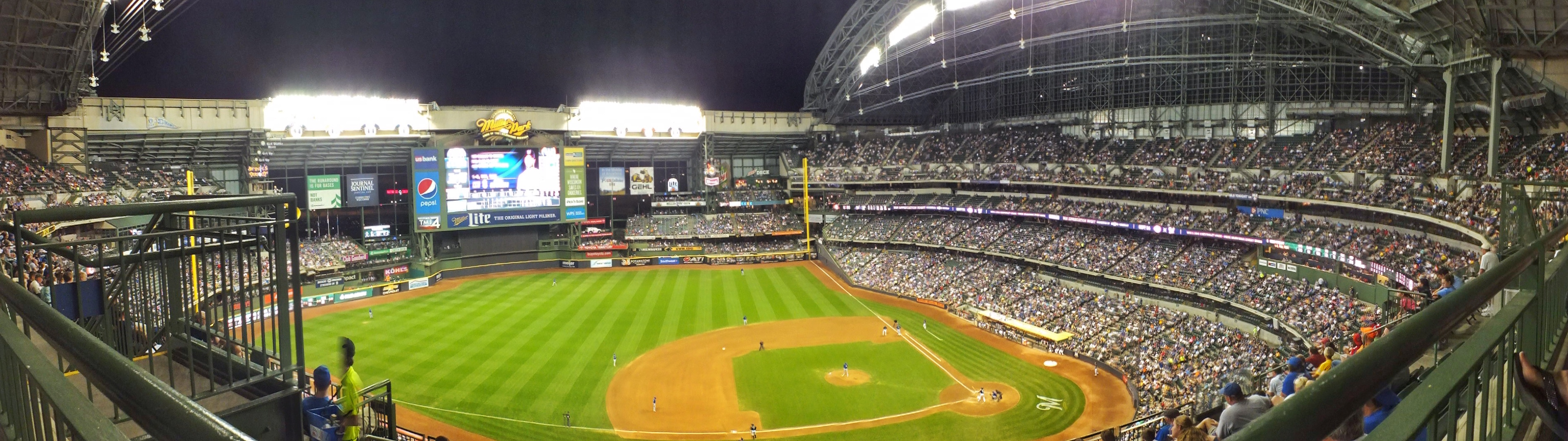
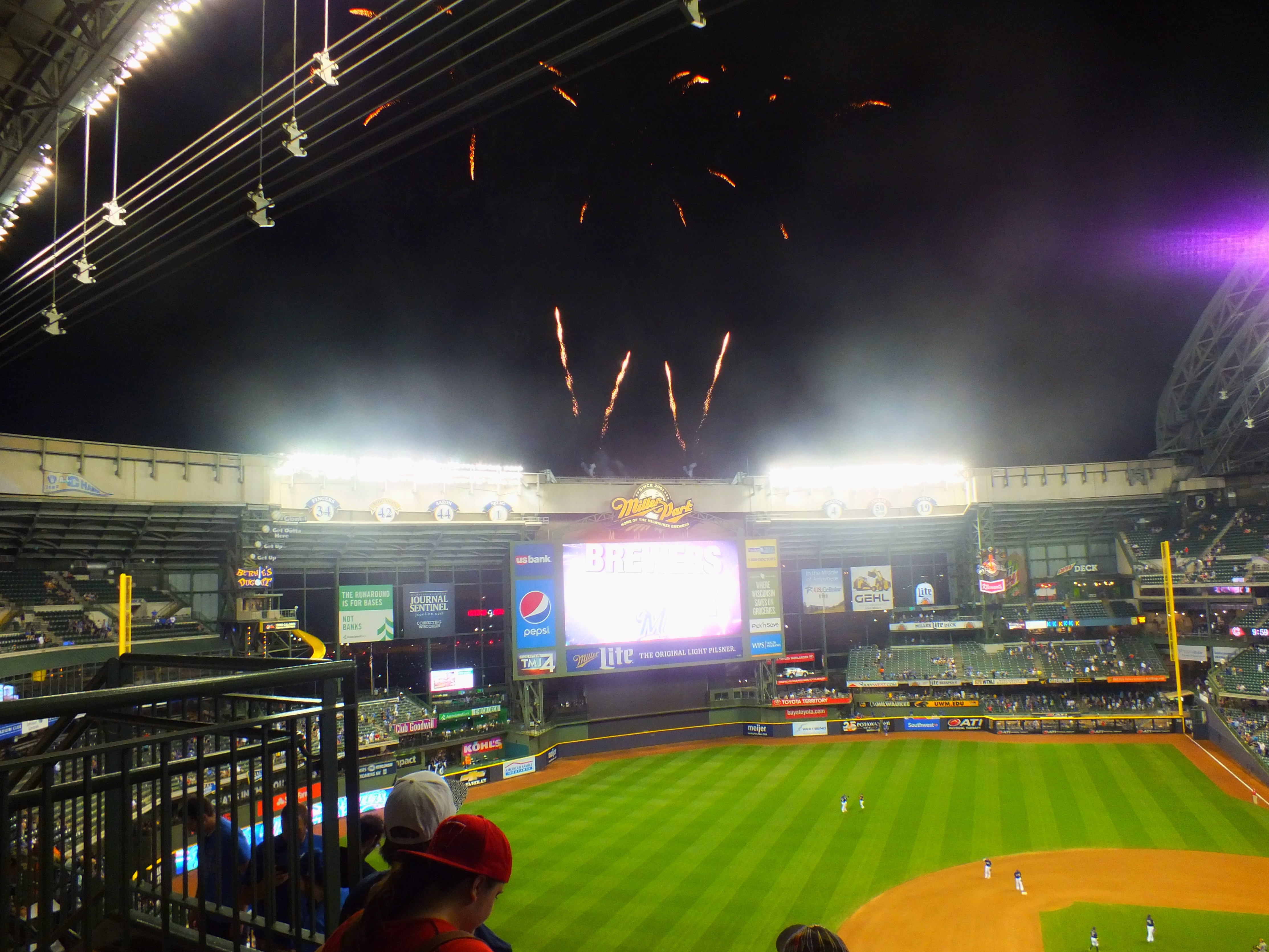
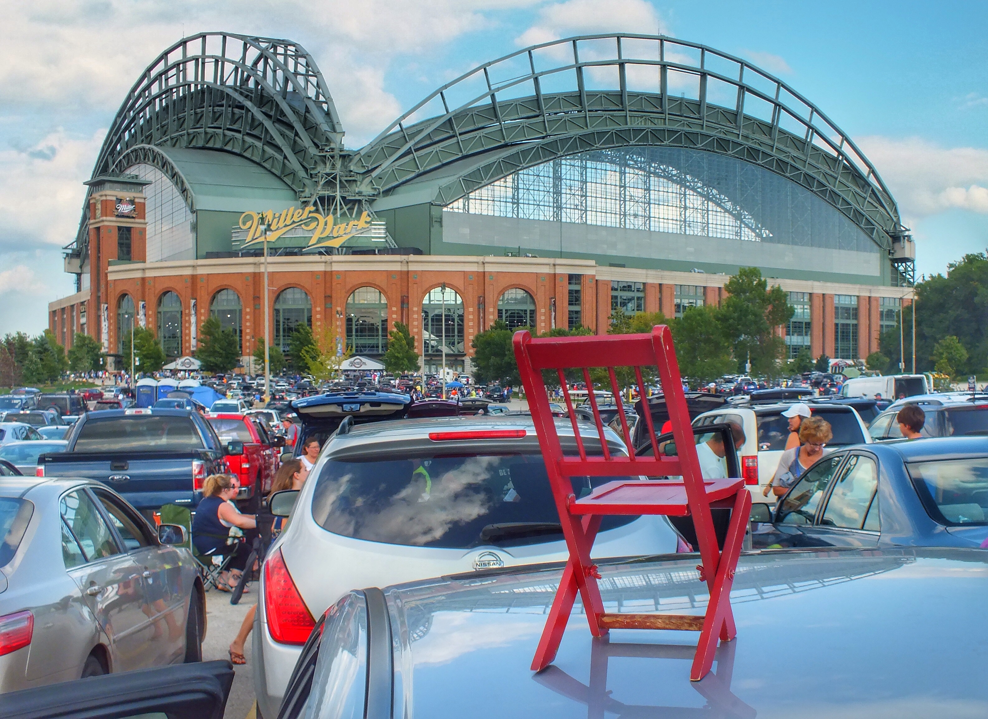
Snickers Stadium or Chuckles Field seem appropriate for say … Milwaukee.
You’d think Baby Ruth would have connected with some team. Yes, the candy company claims that the candy bar was named after the daughter of President Grover Cleveland. But since it came out in 1921 when Babe Ruth was becoming a superstar and when Ruth Cleveland would have been 30 if she hadn’t, in fact, been dead for 17 years, I’m skeptical.
And while we’re on candy names, I’ll end with what I’ve decided would be the worst possible name for a ballpark — Butterfinger Field.